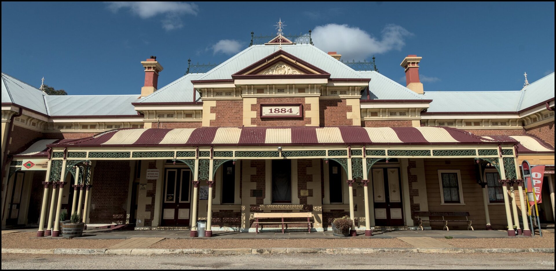
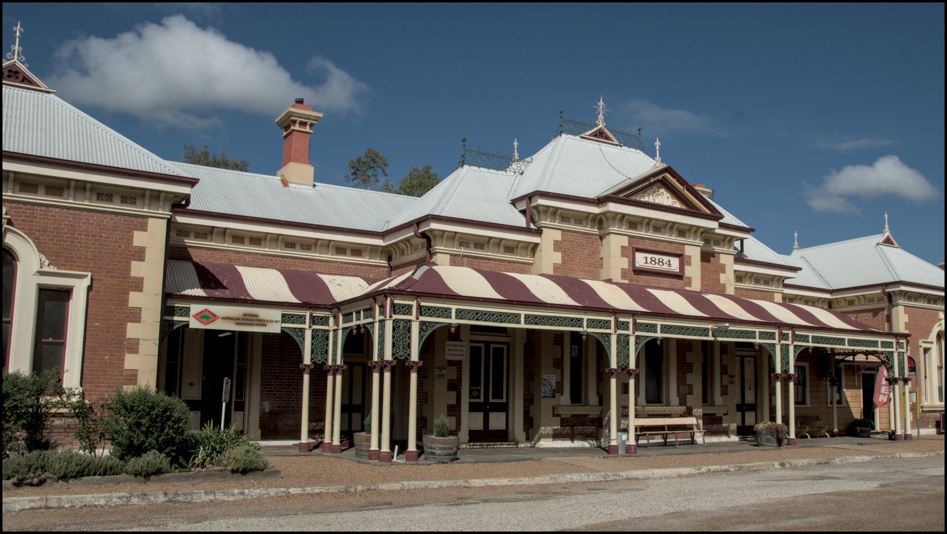
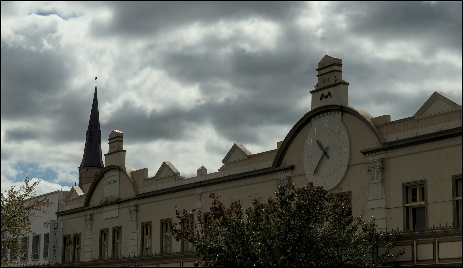
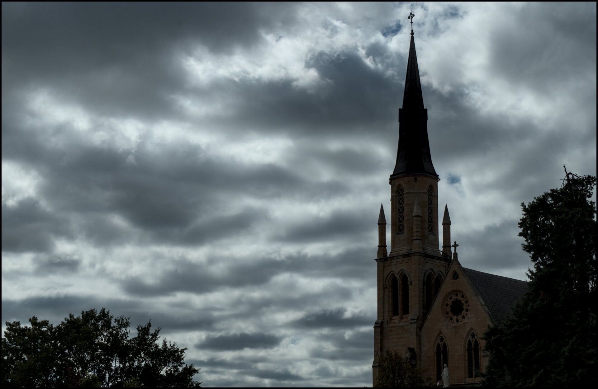
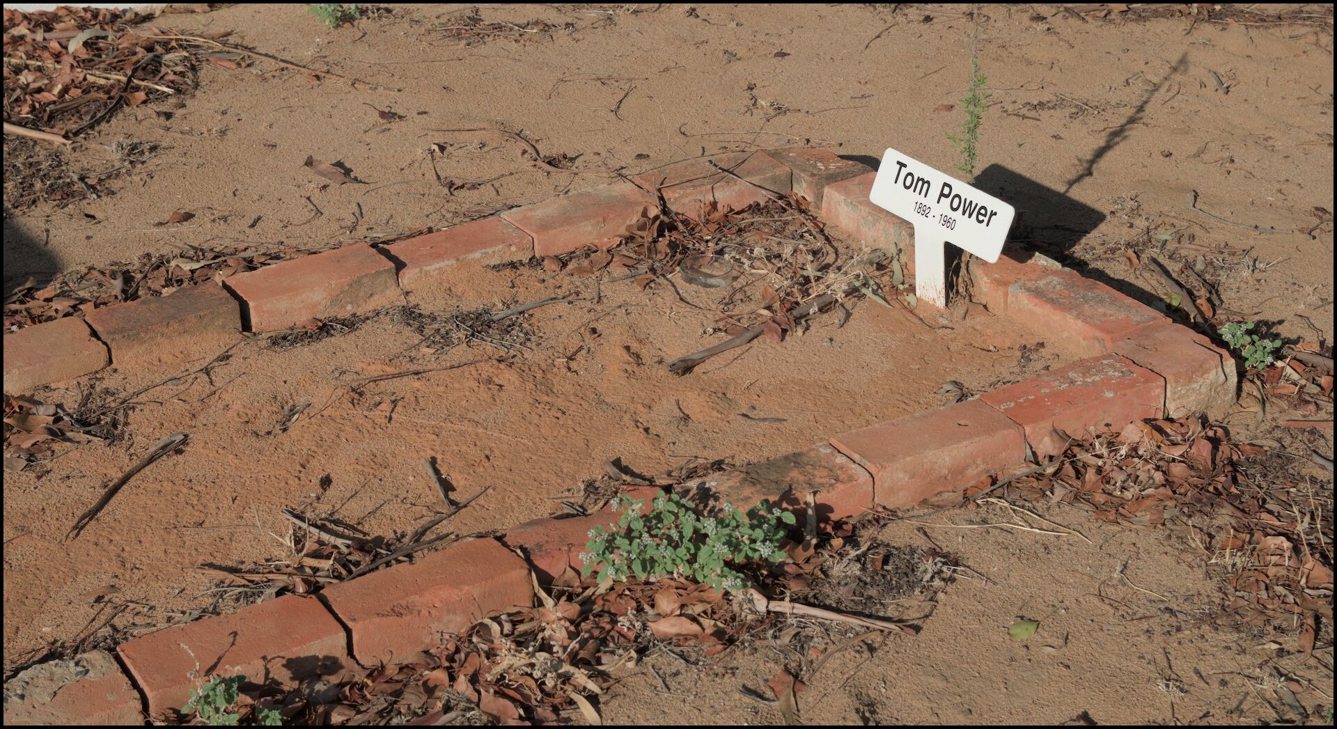
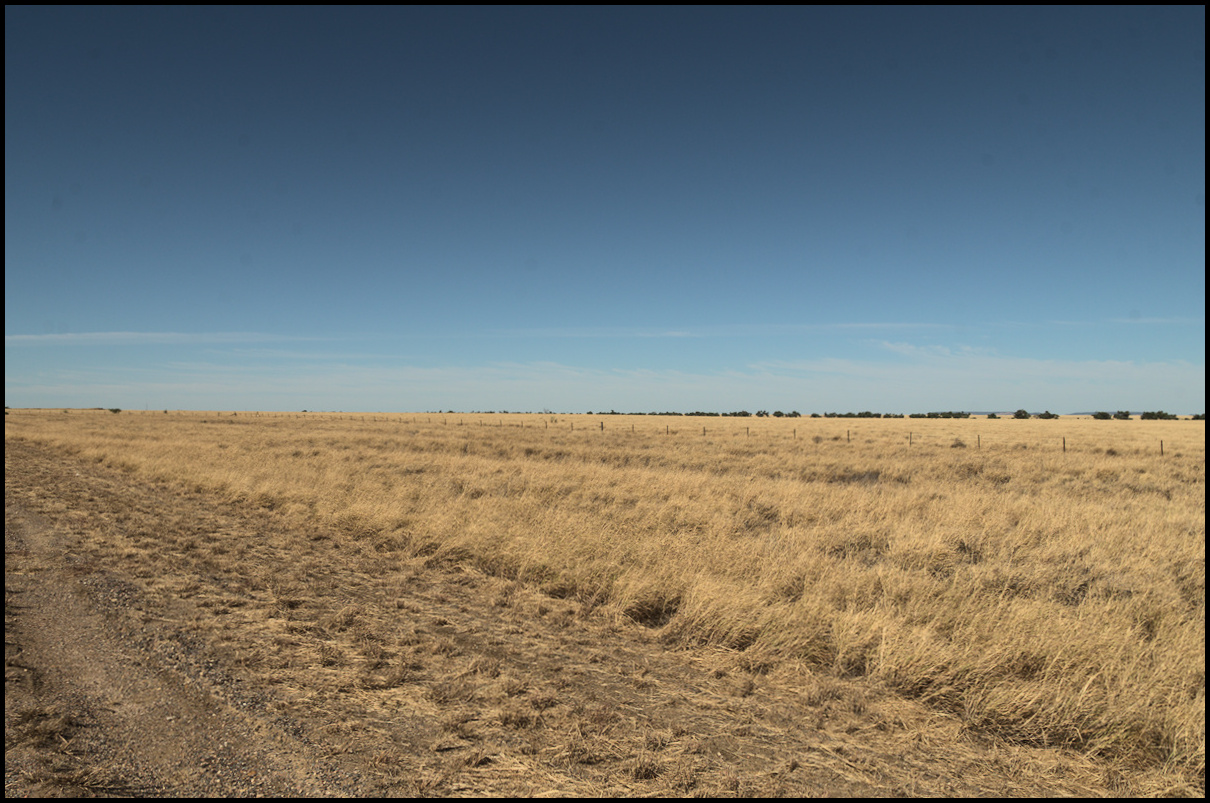
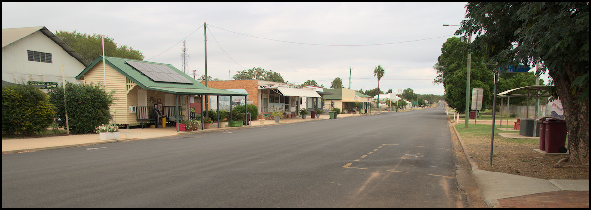
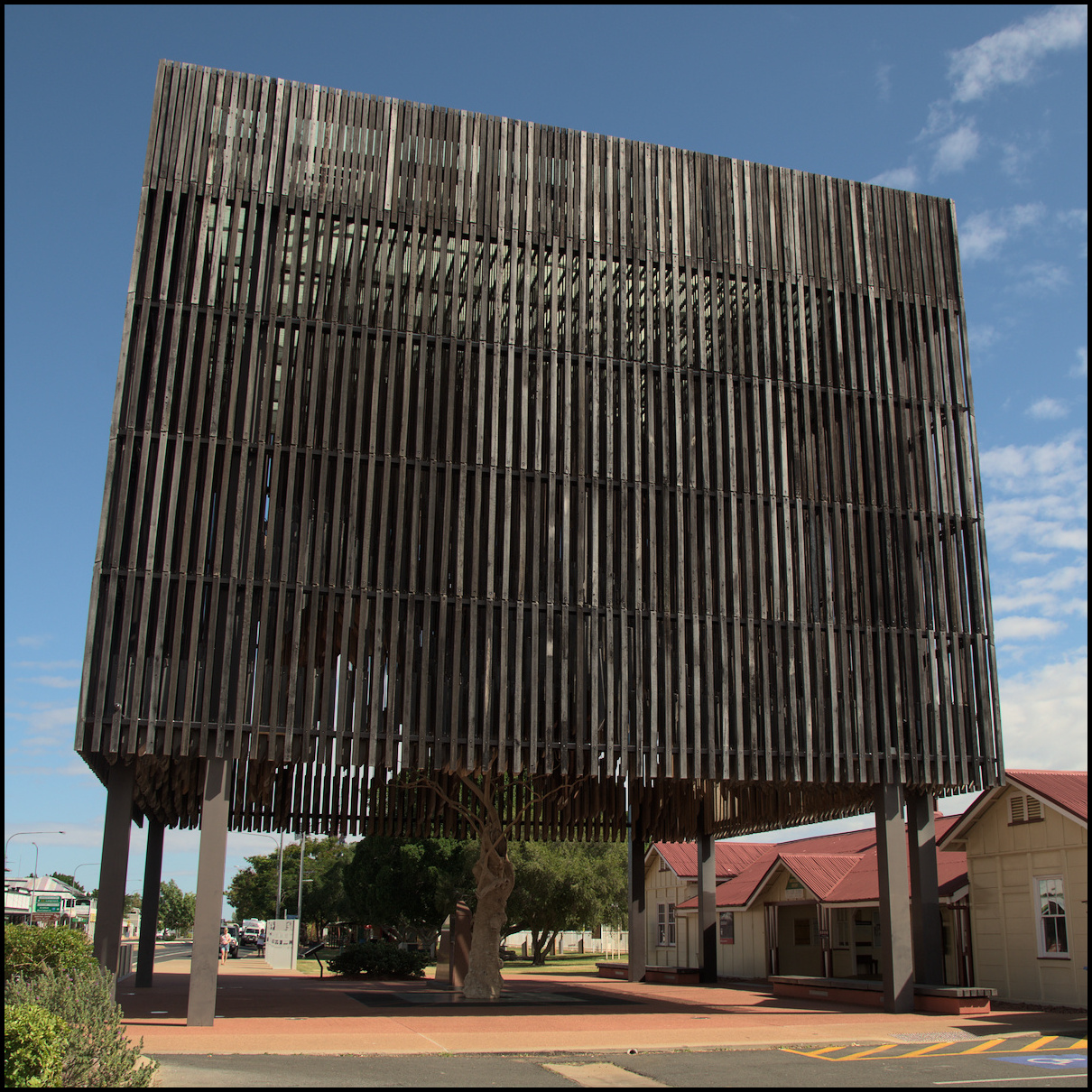
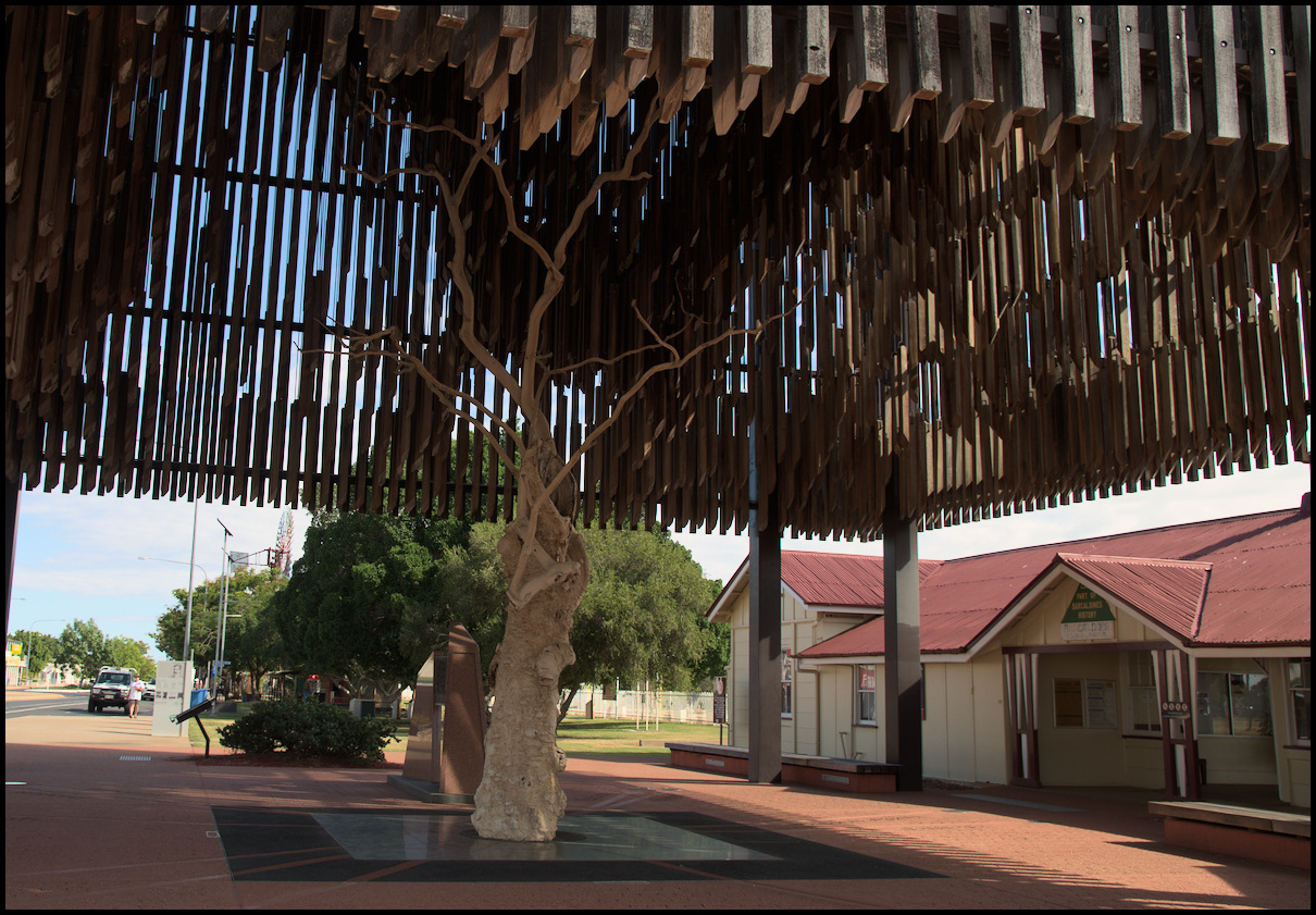
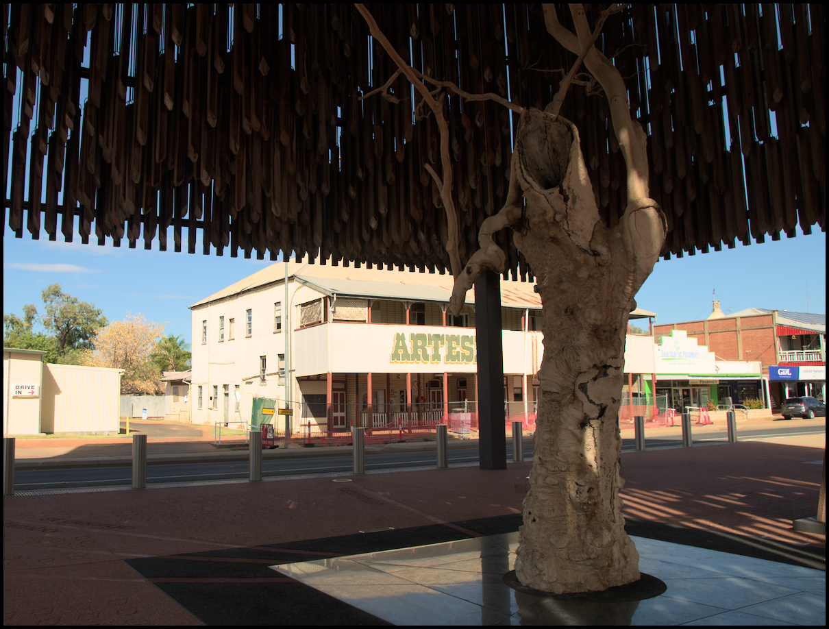
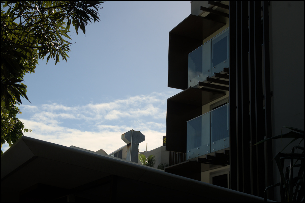
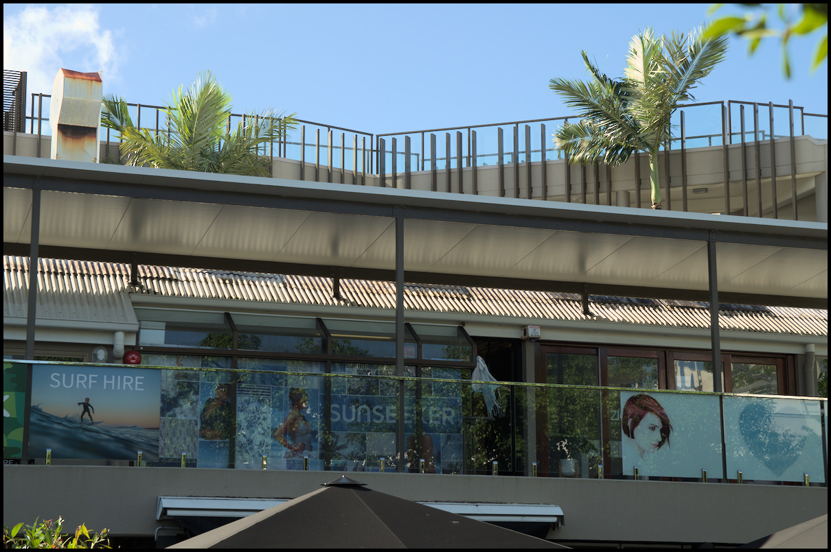
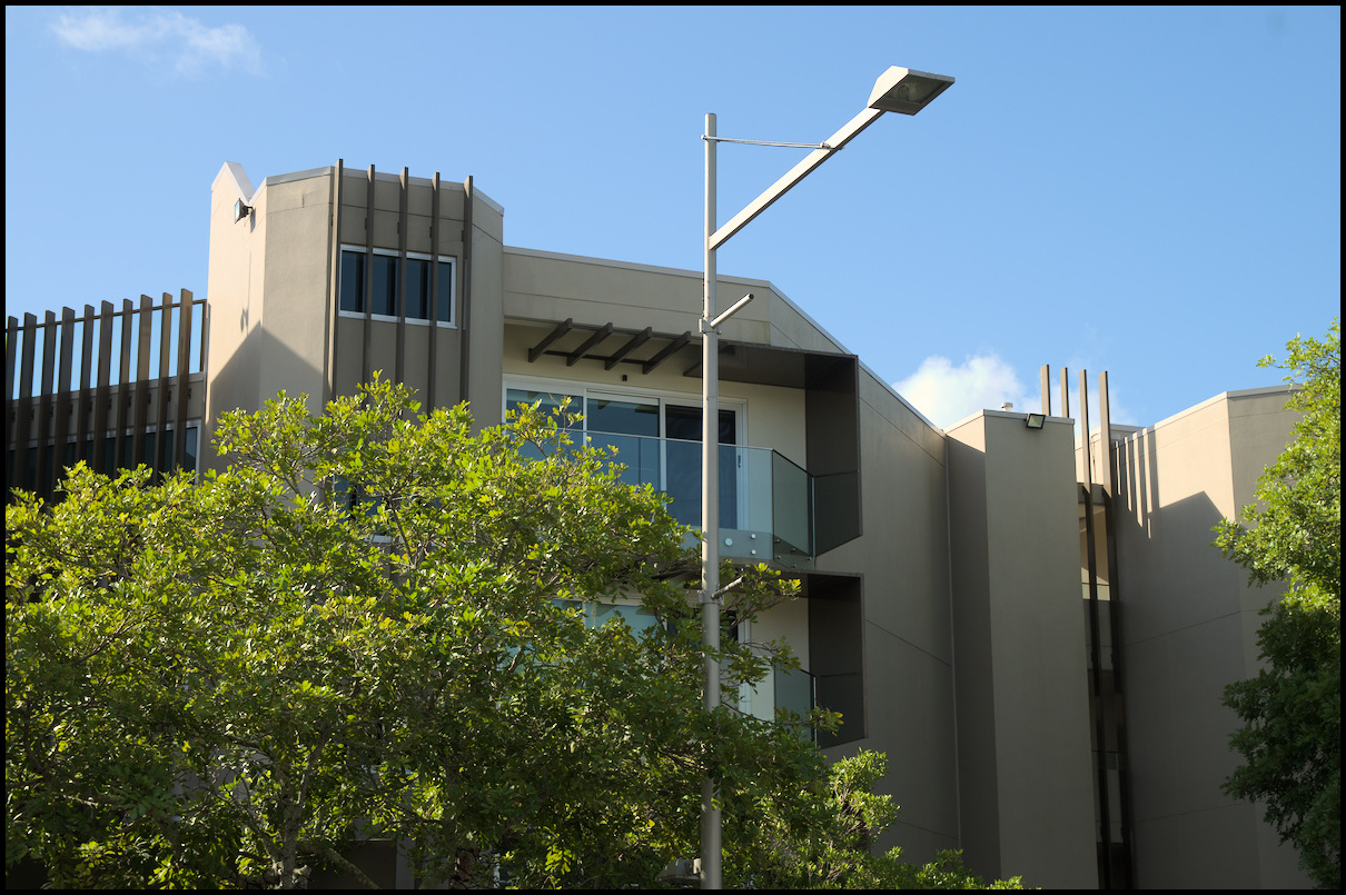
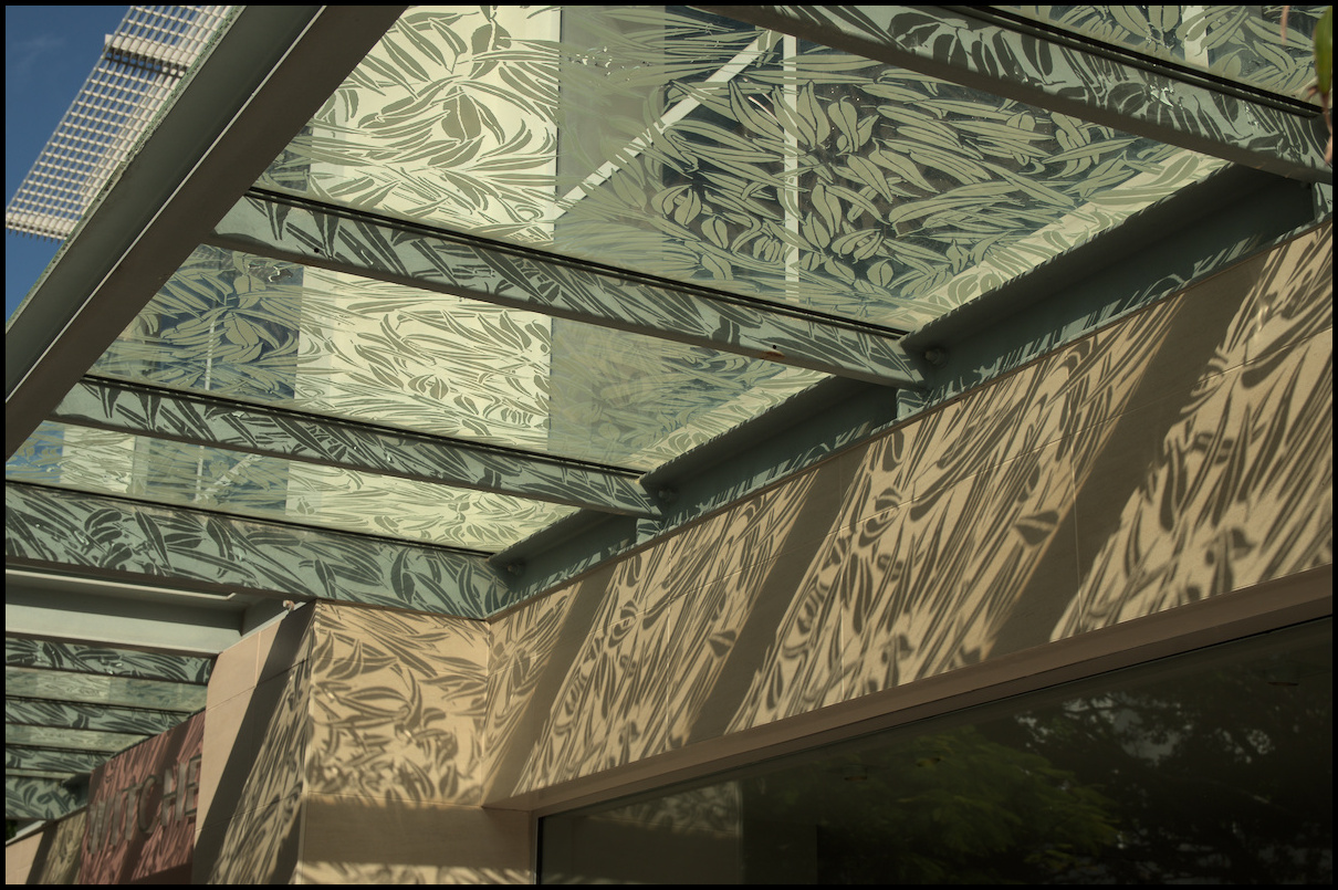
Day 14 - Mudgee and Gulgong
Last day of photos from our holiday. The next day (day 15) was simply travel home.
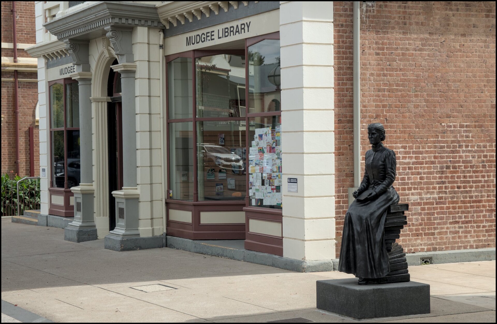
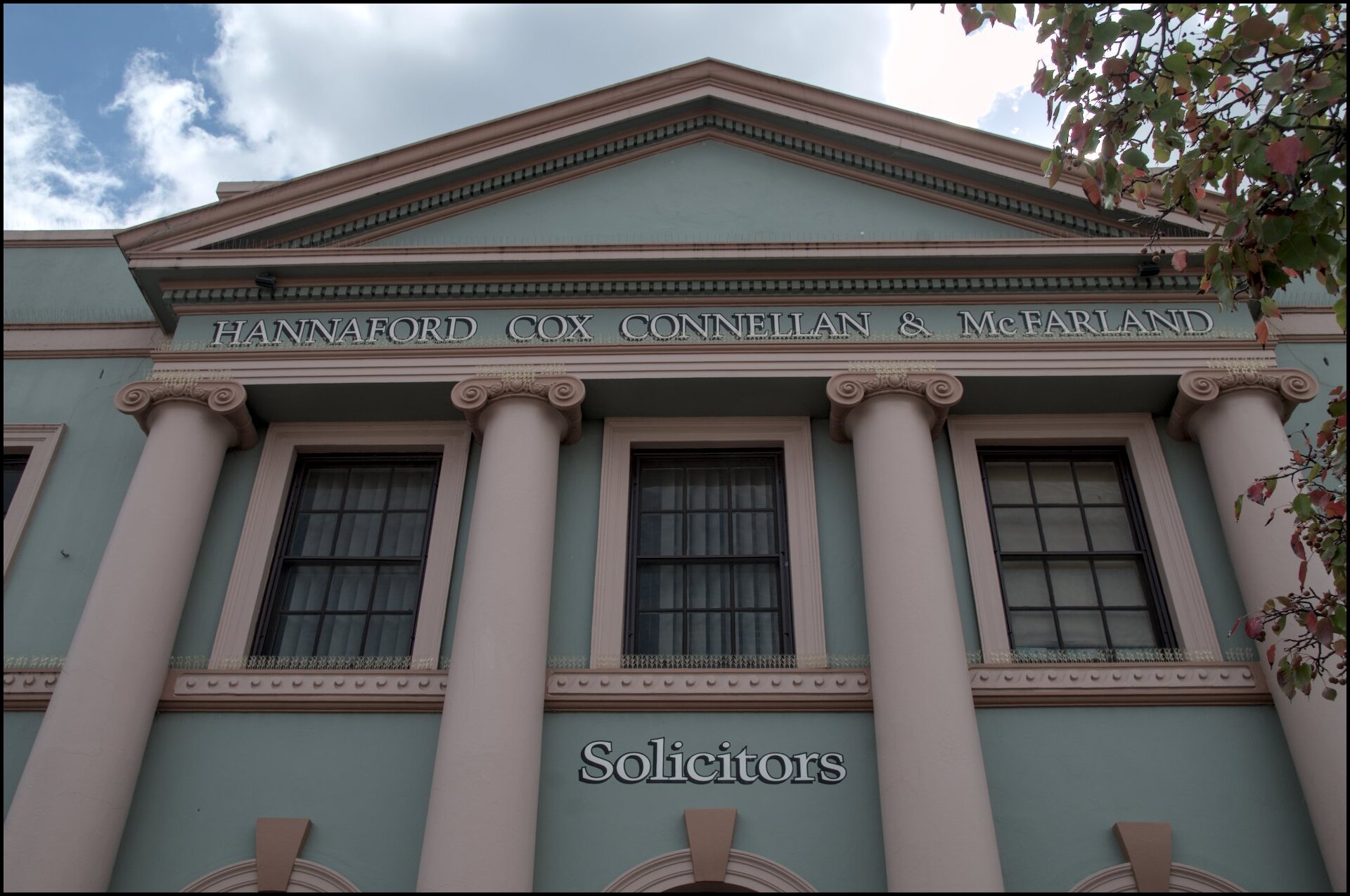
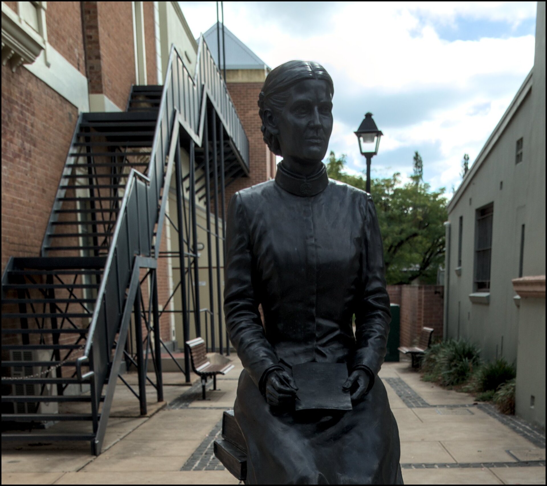
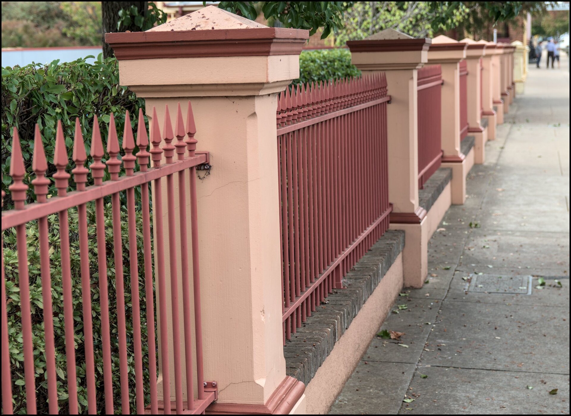
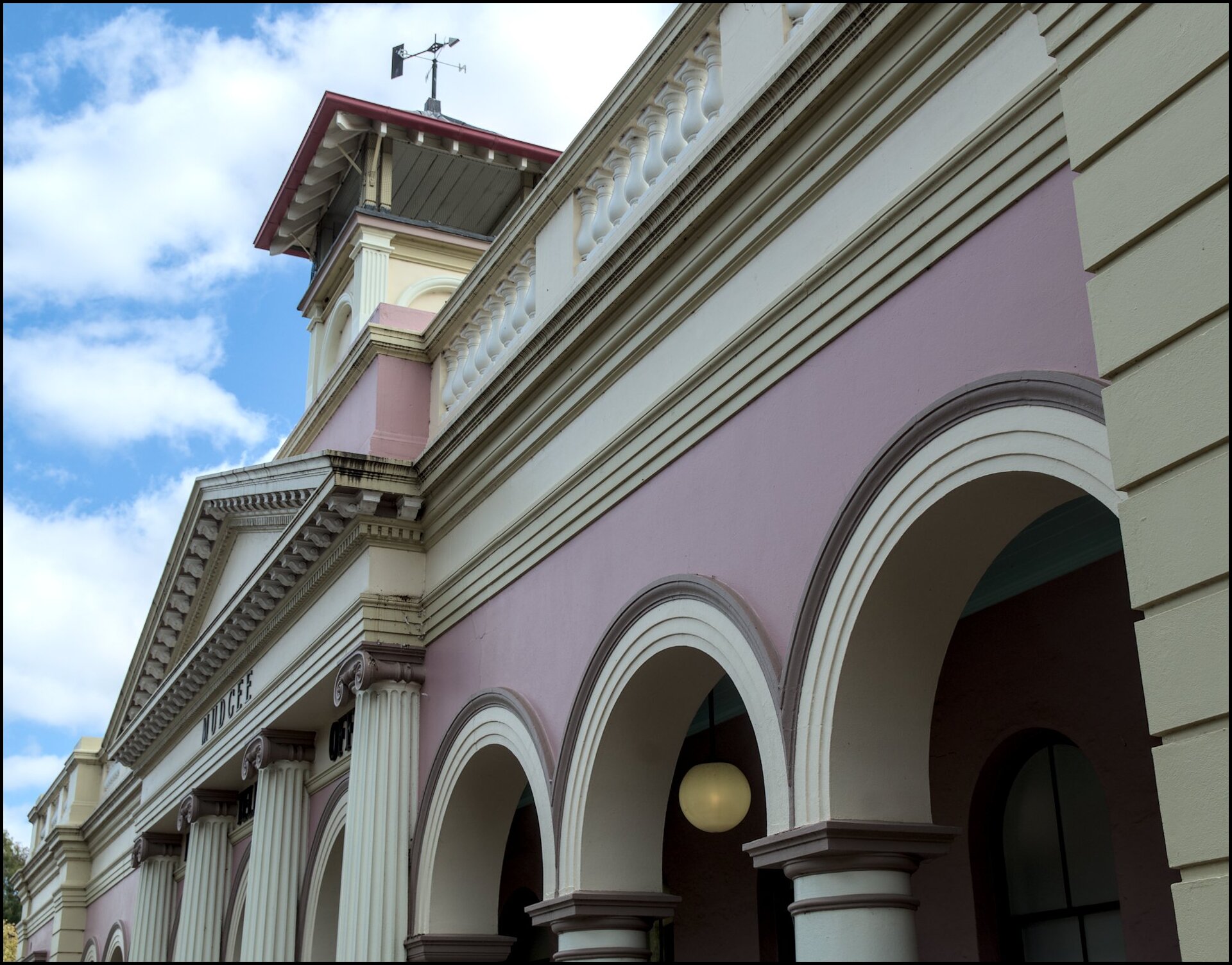
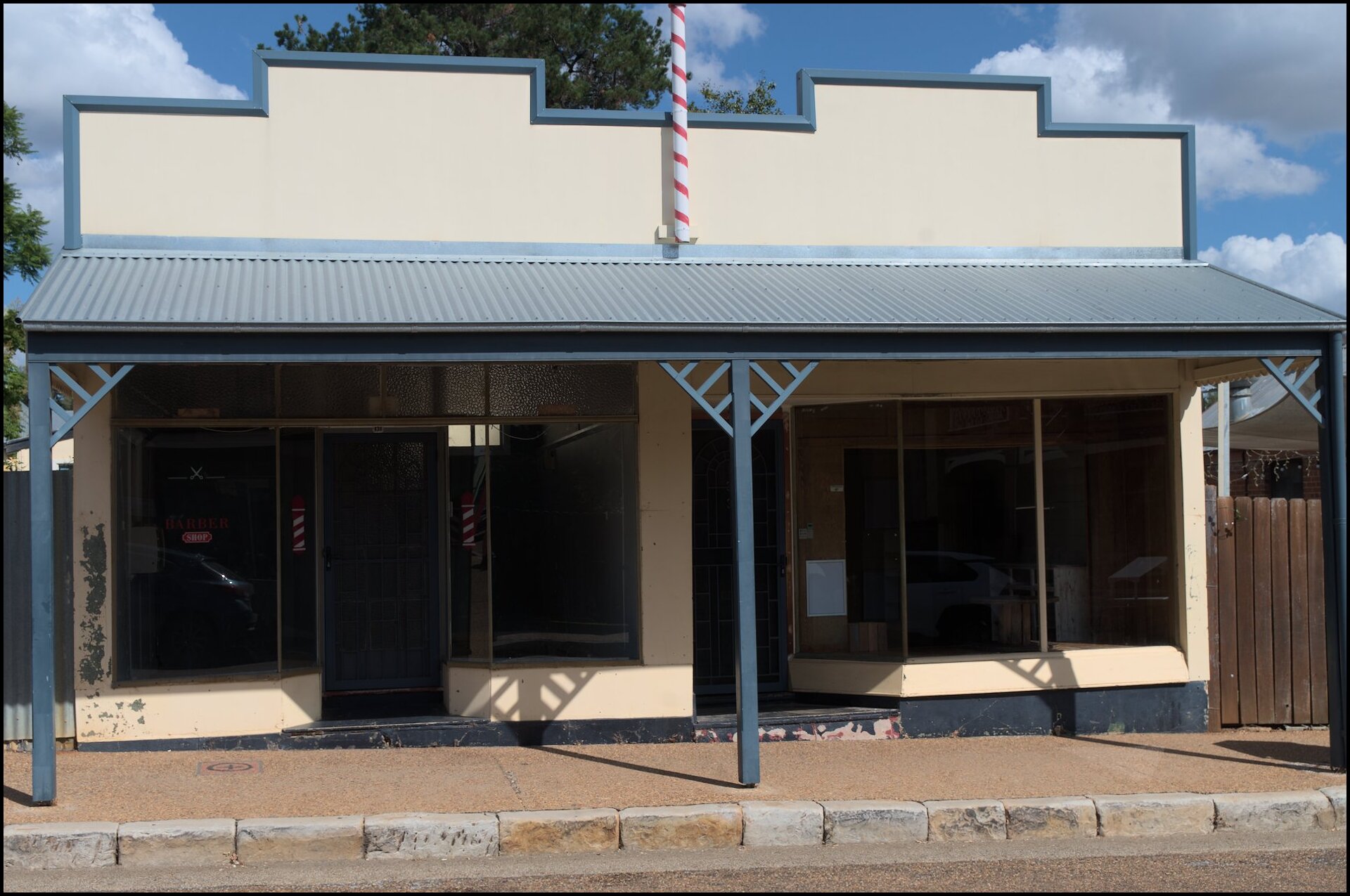
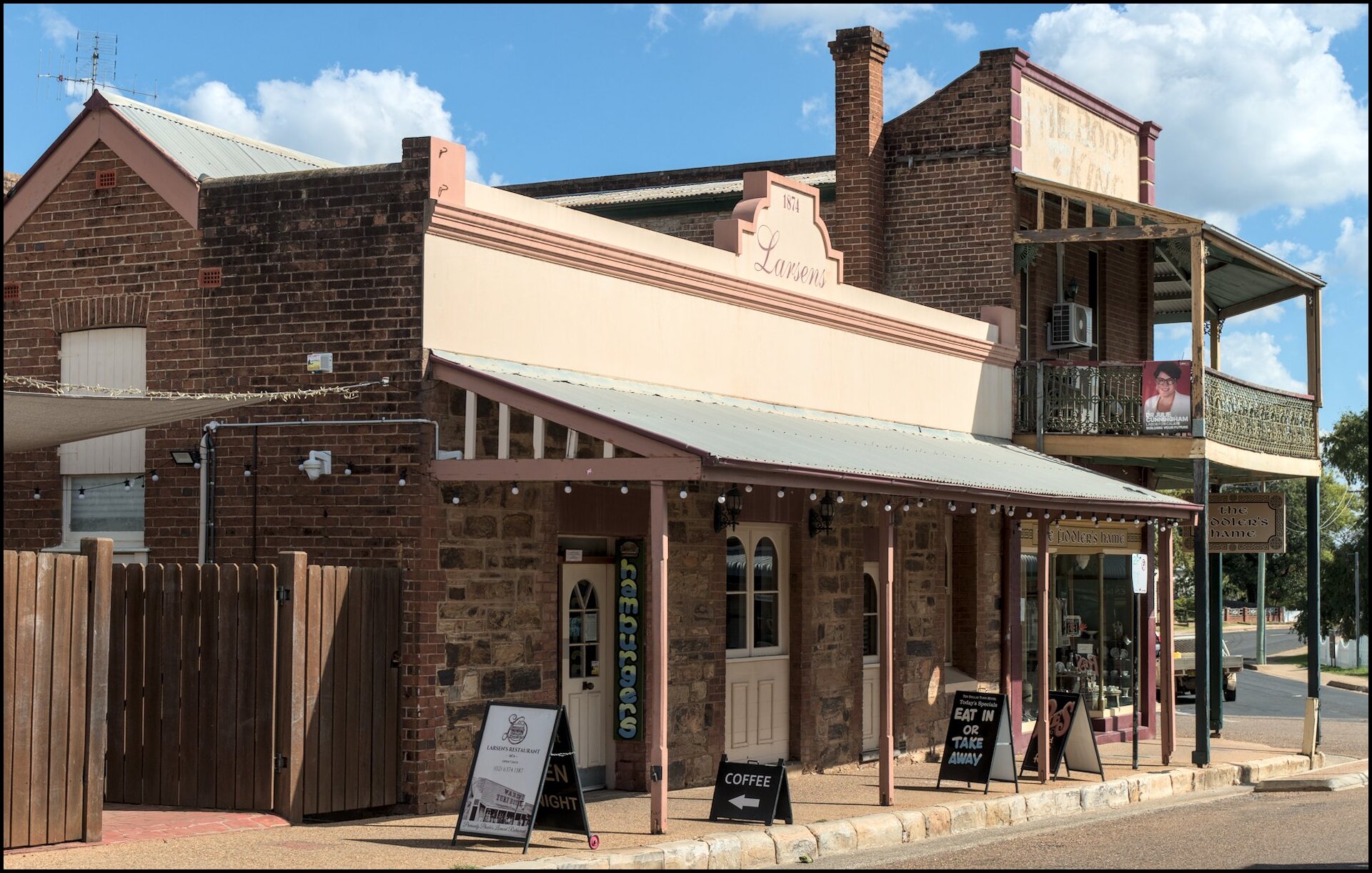
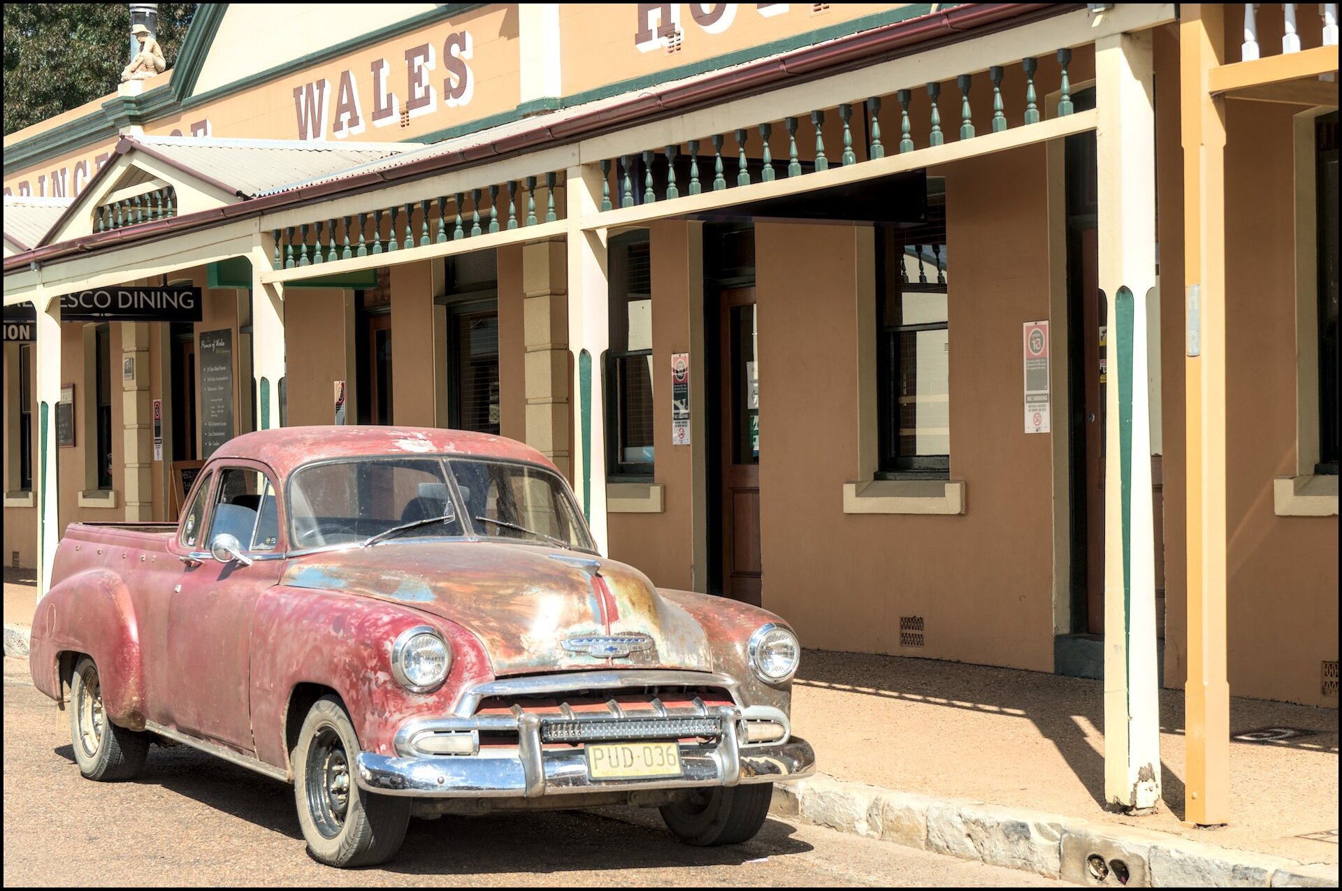
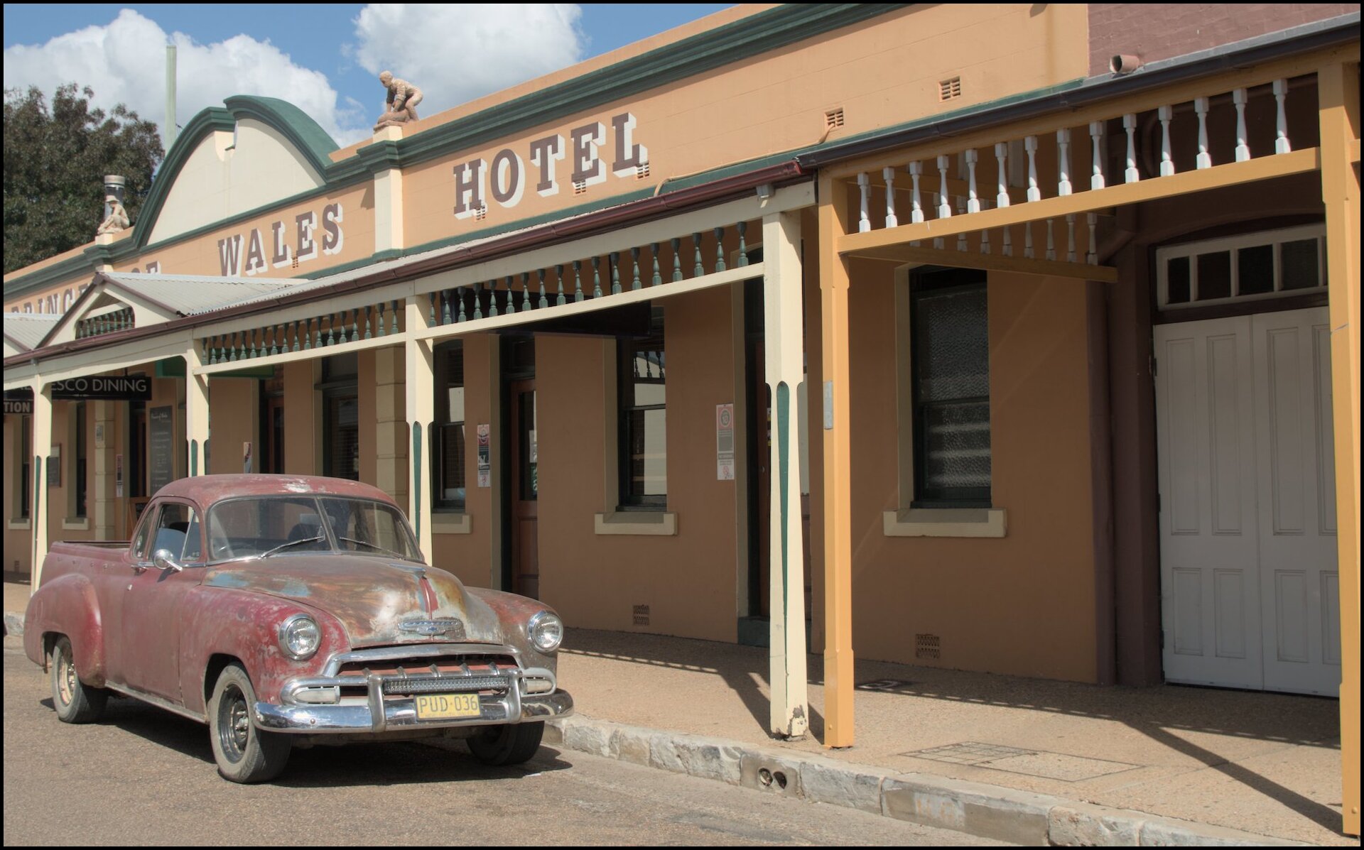
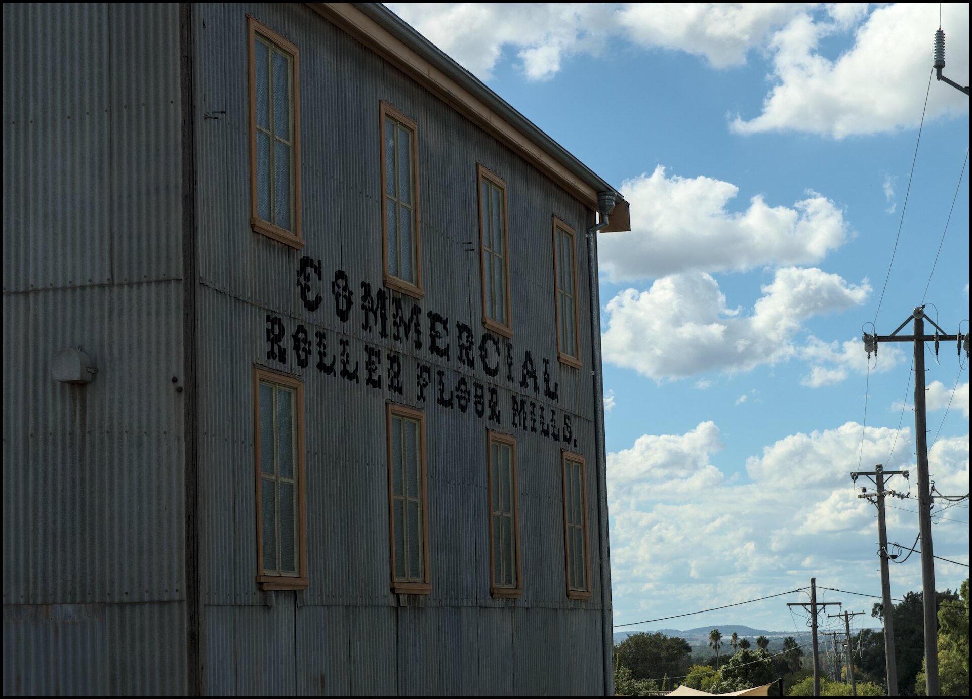
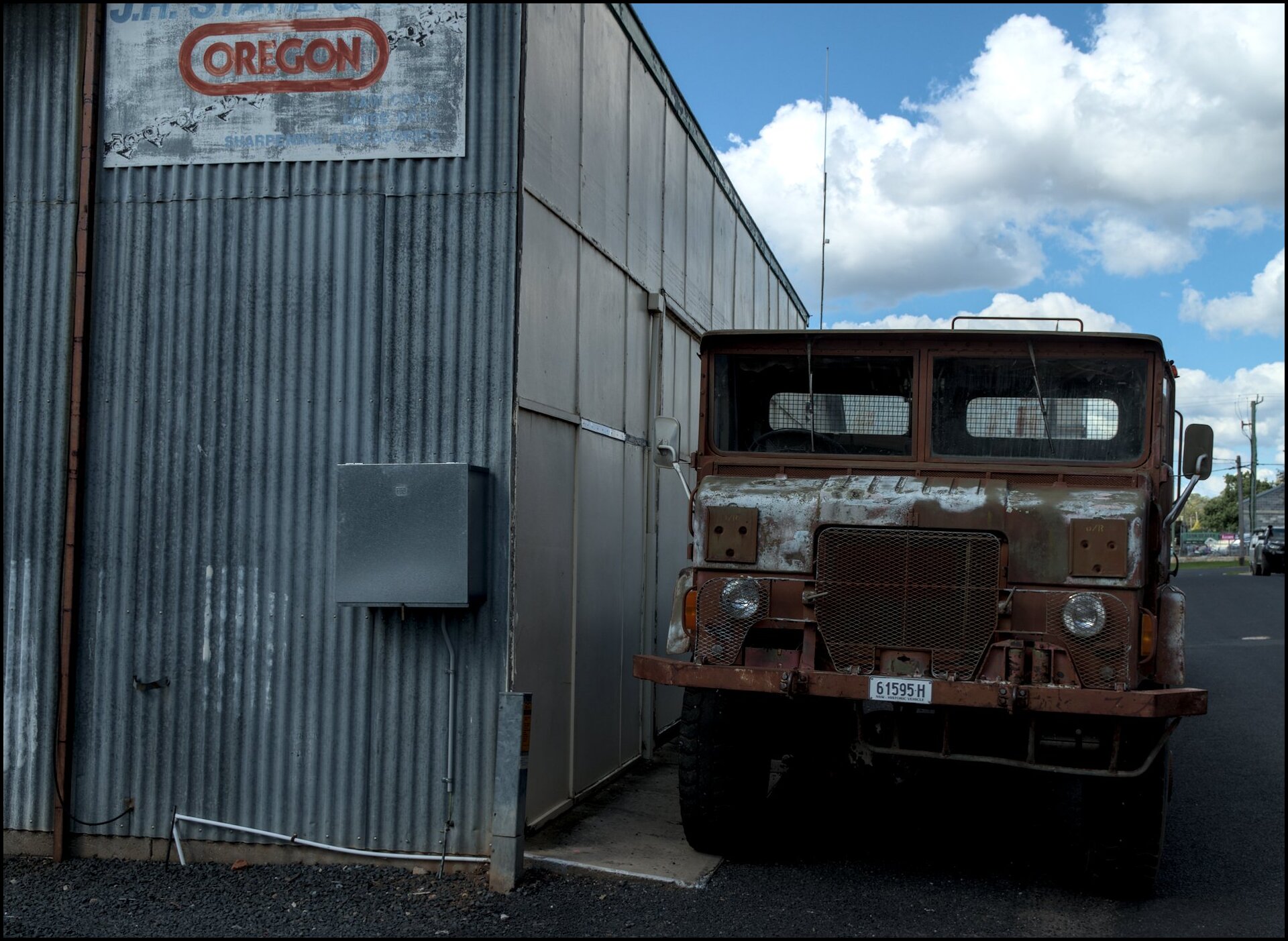
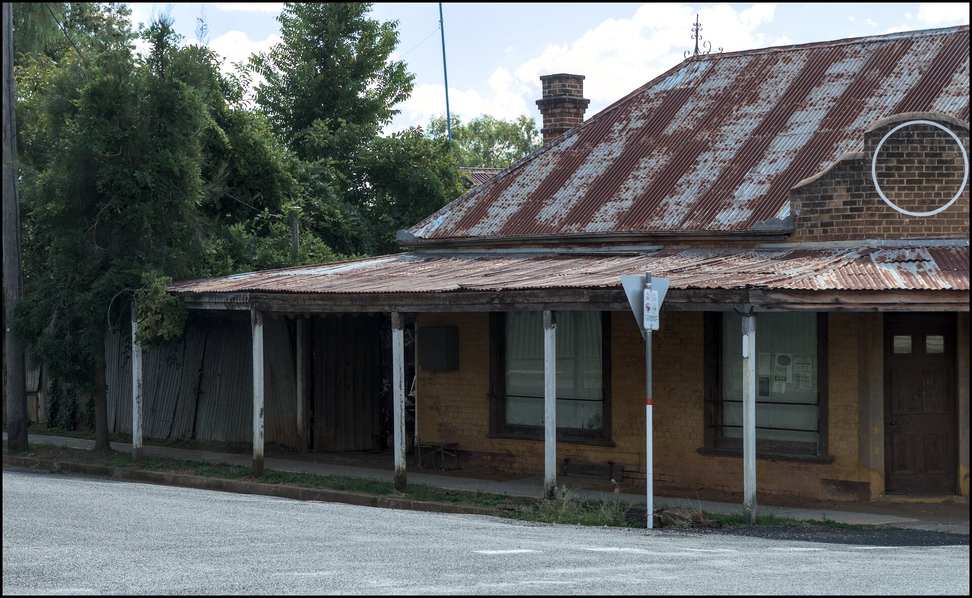
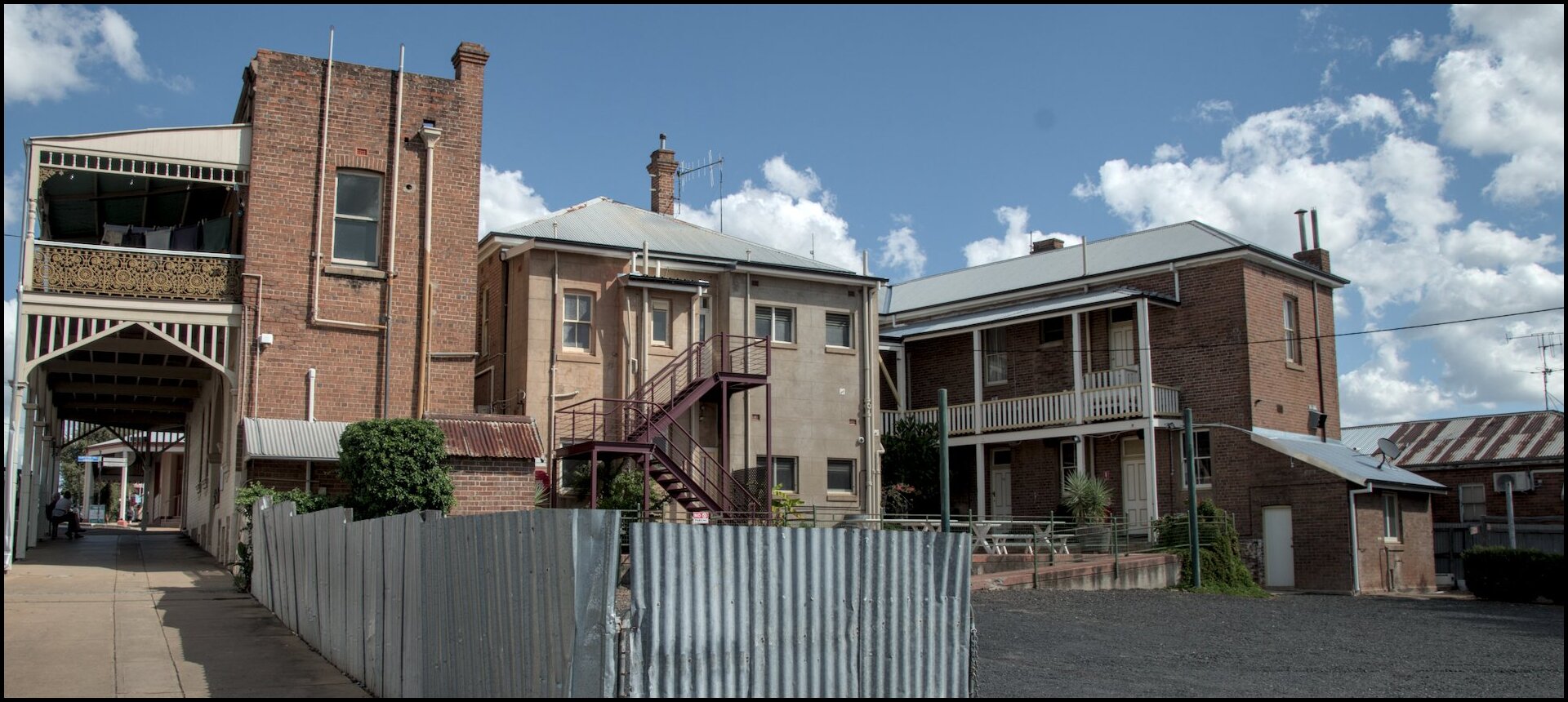
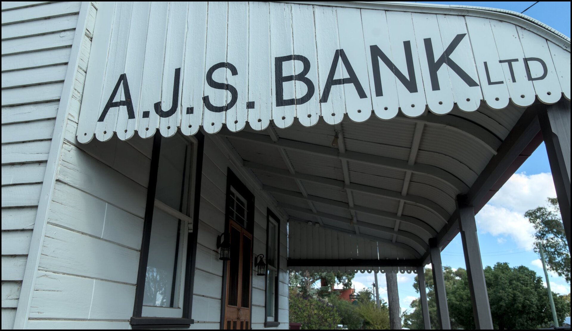
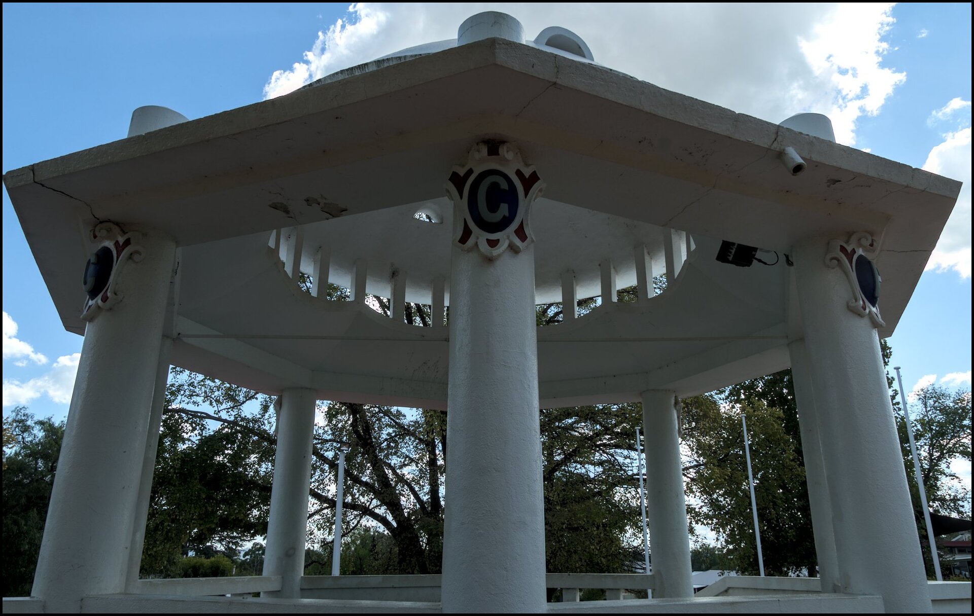
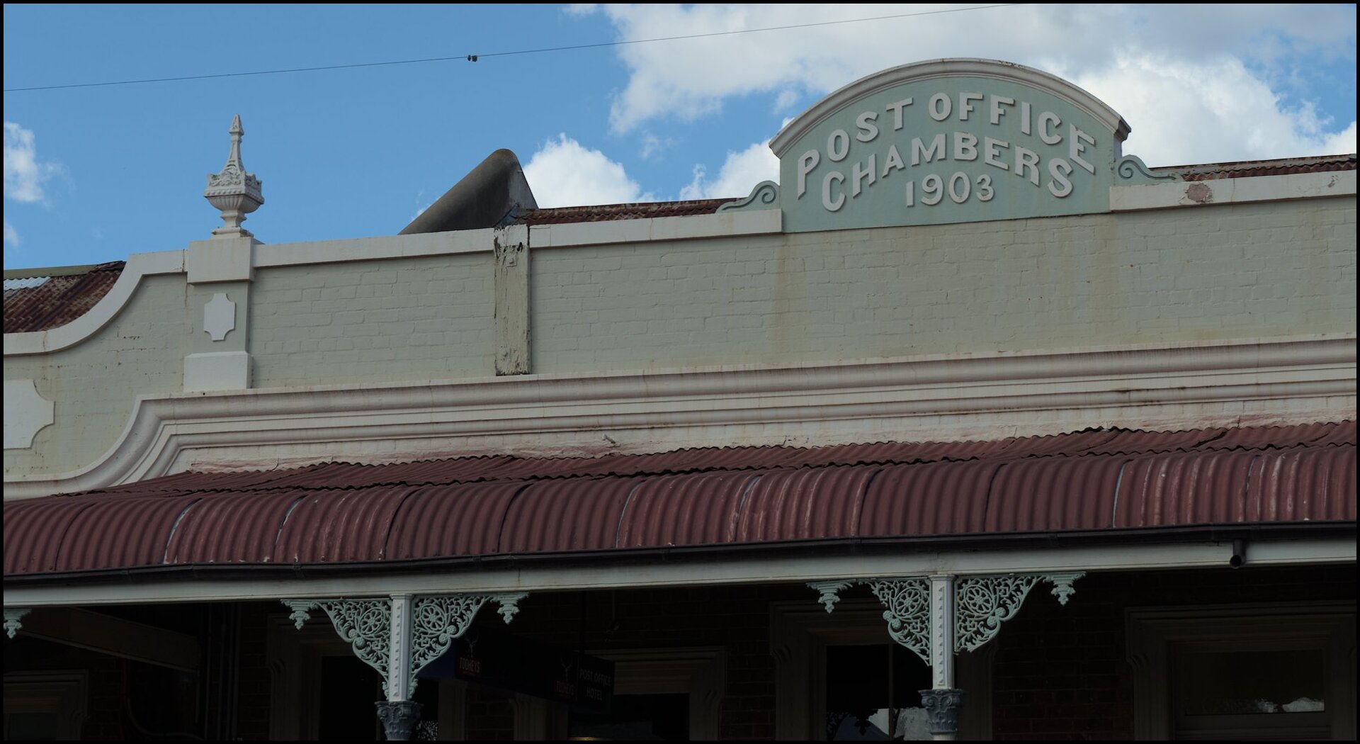
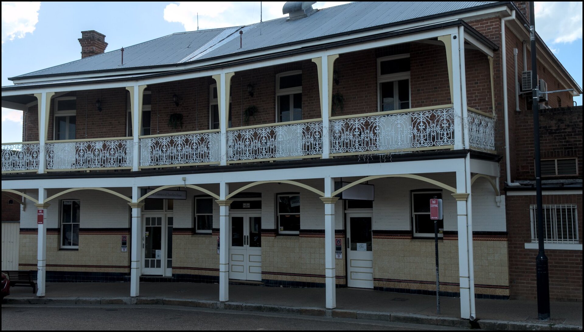
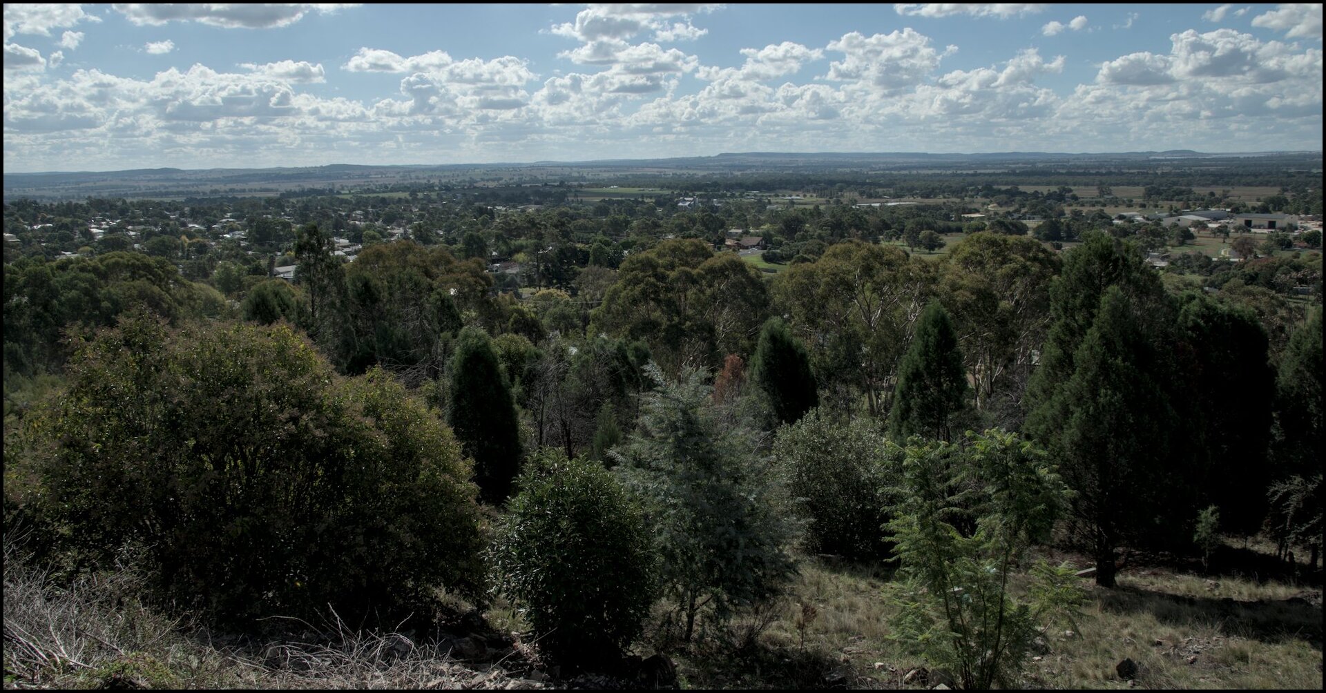
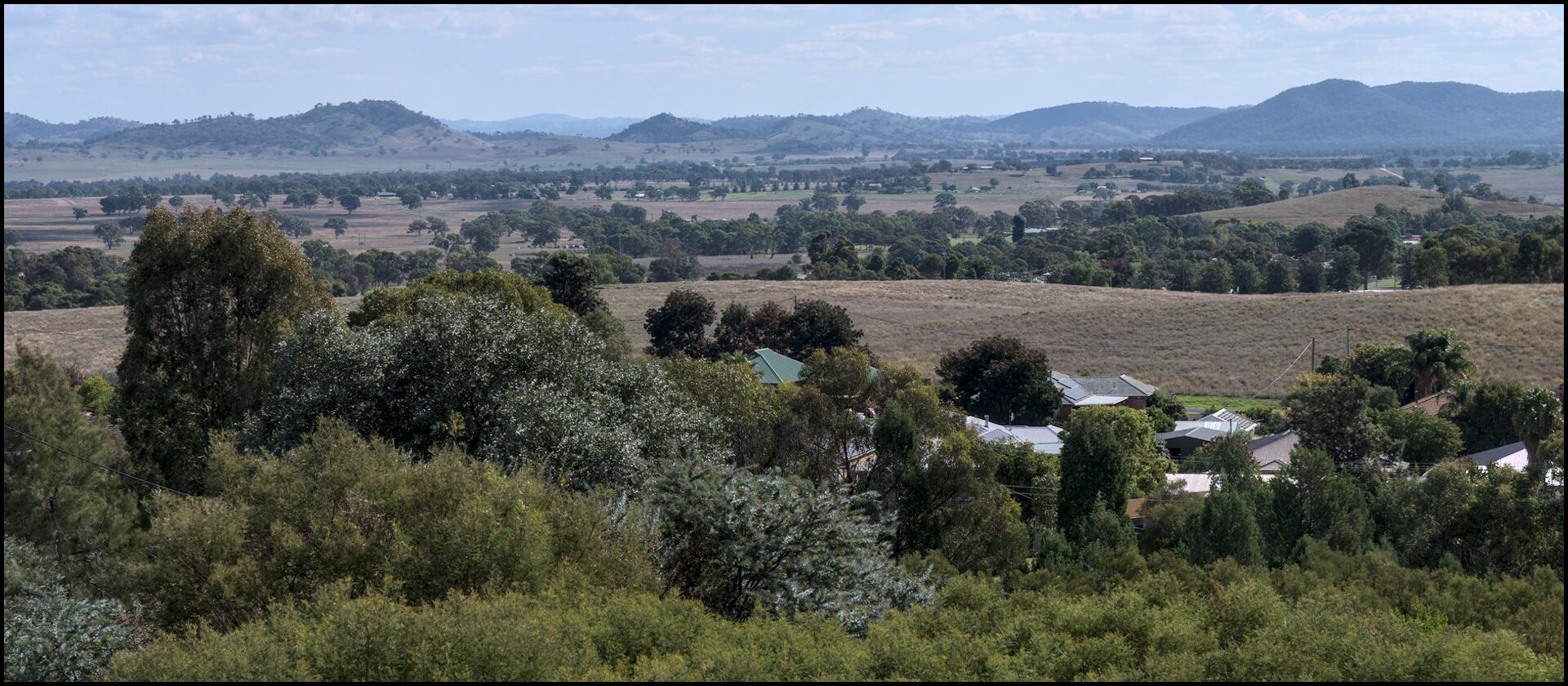
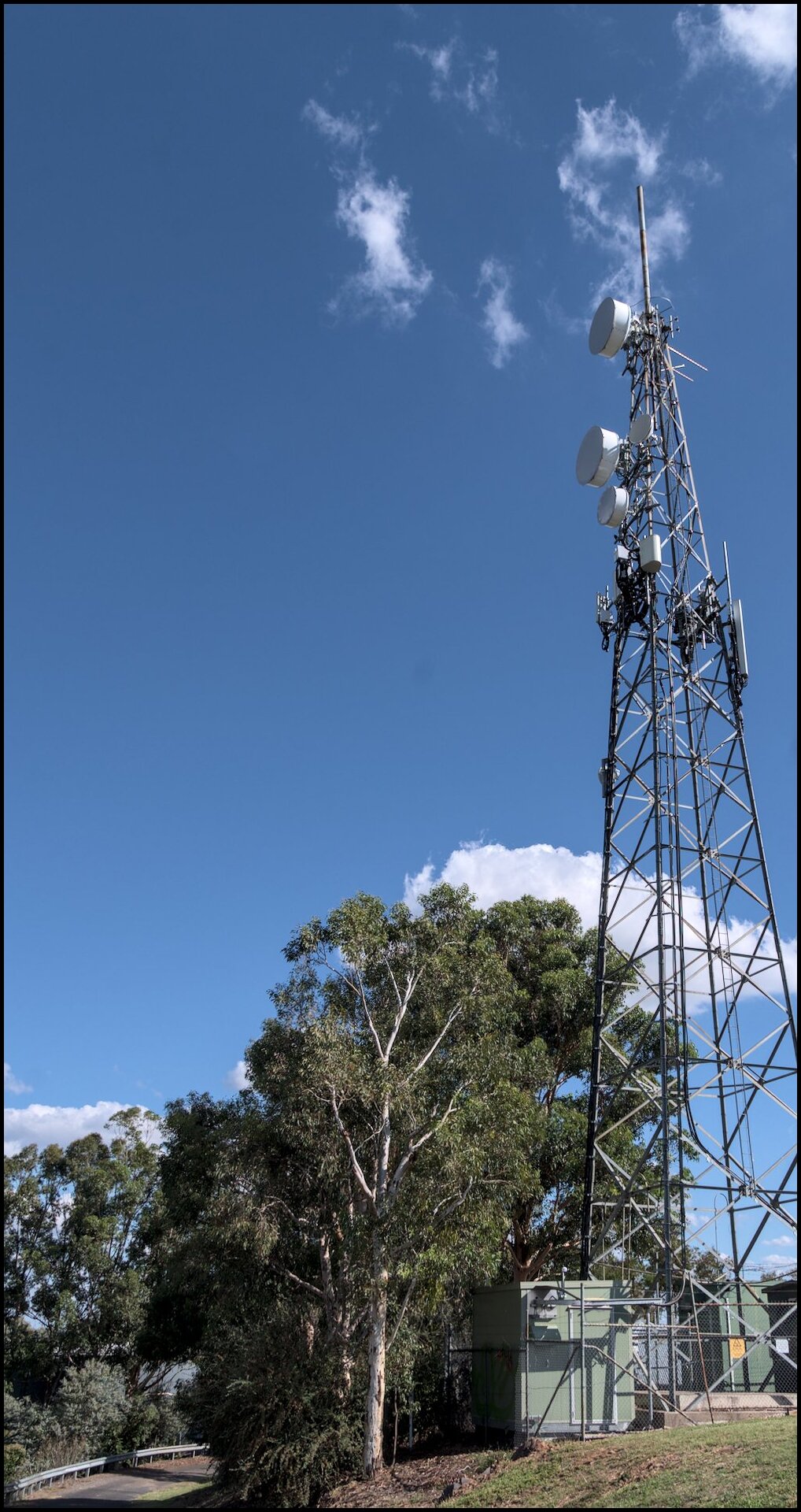
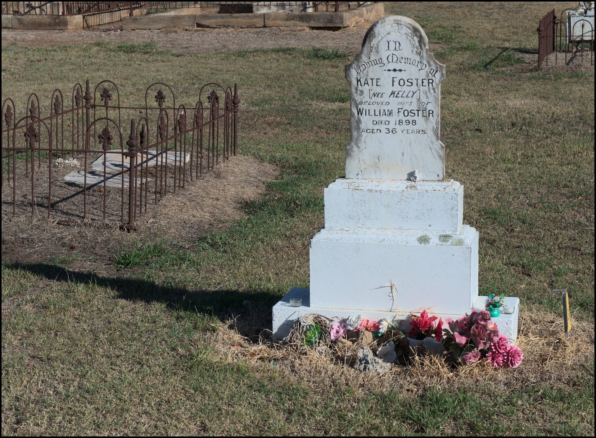
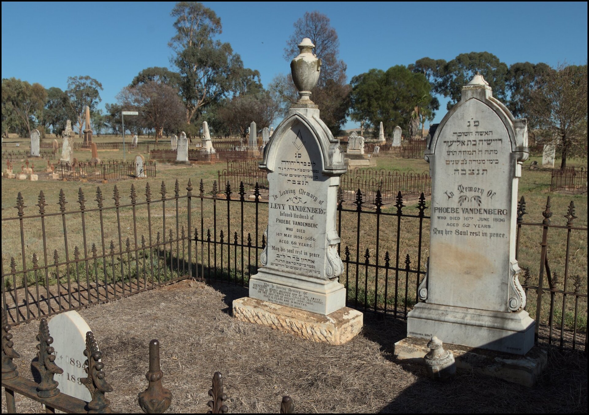
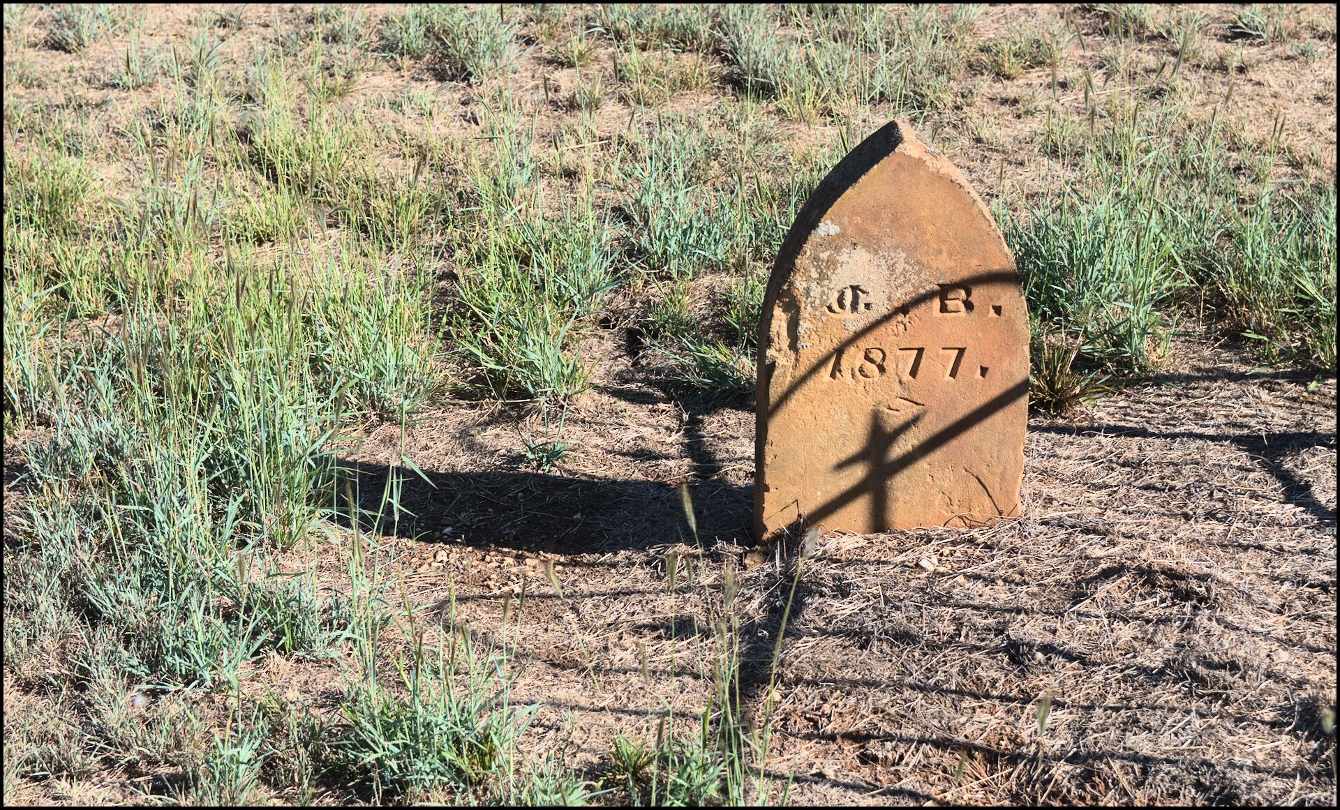
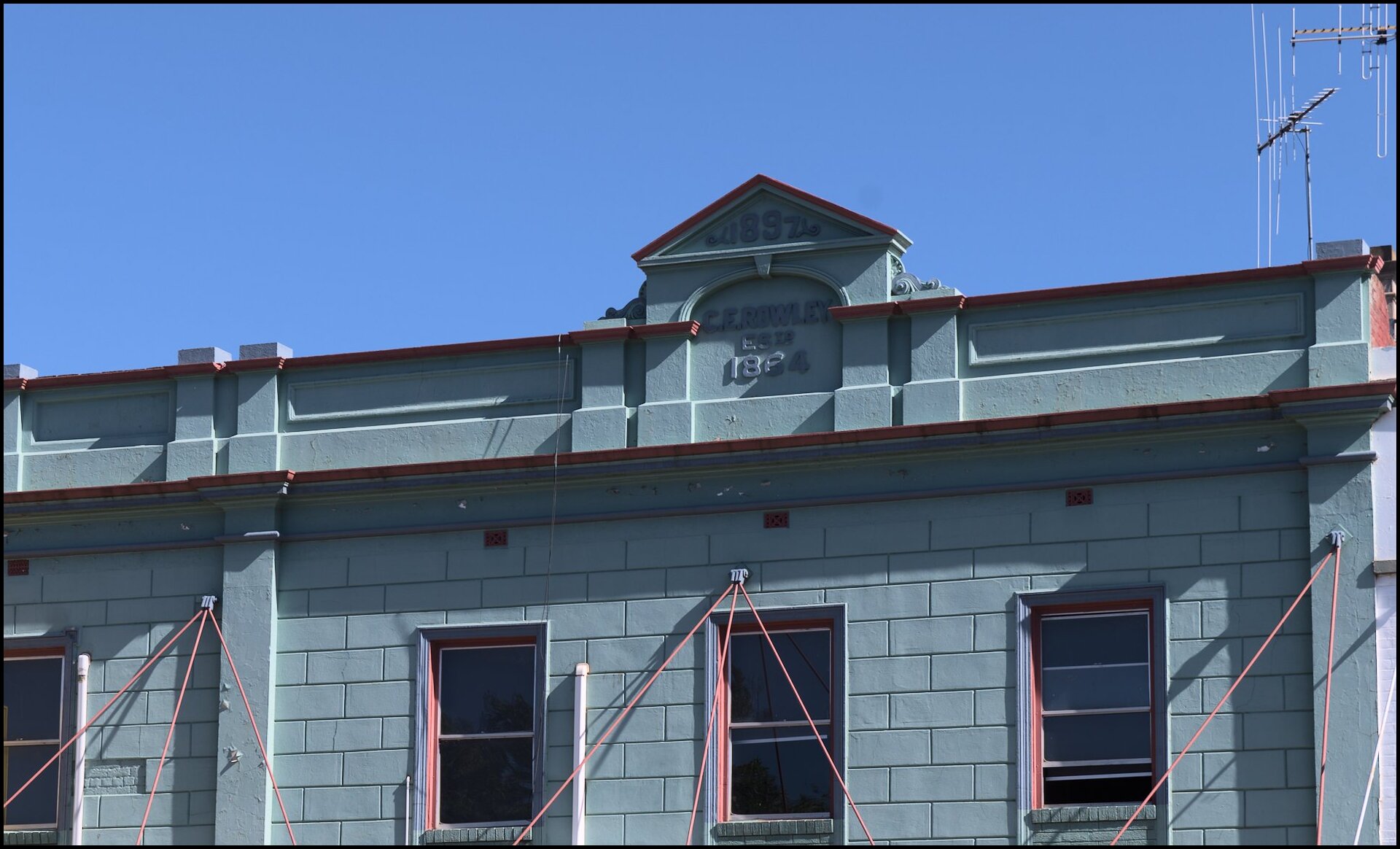
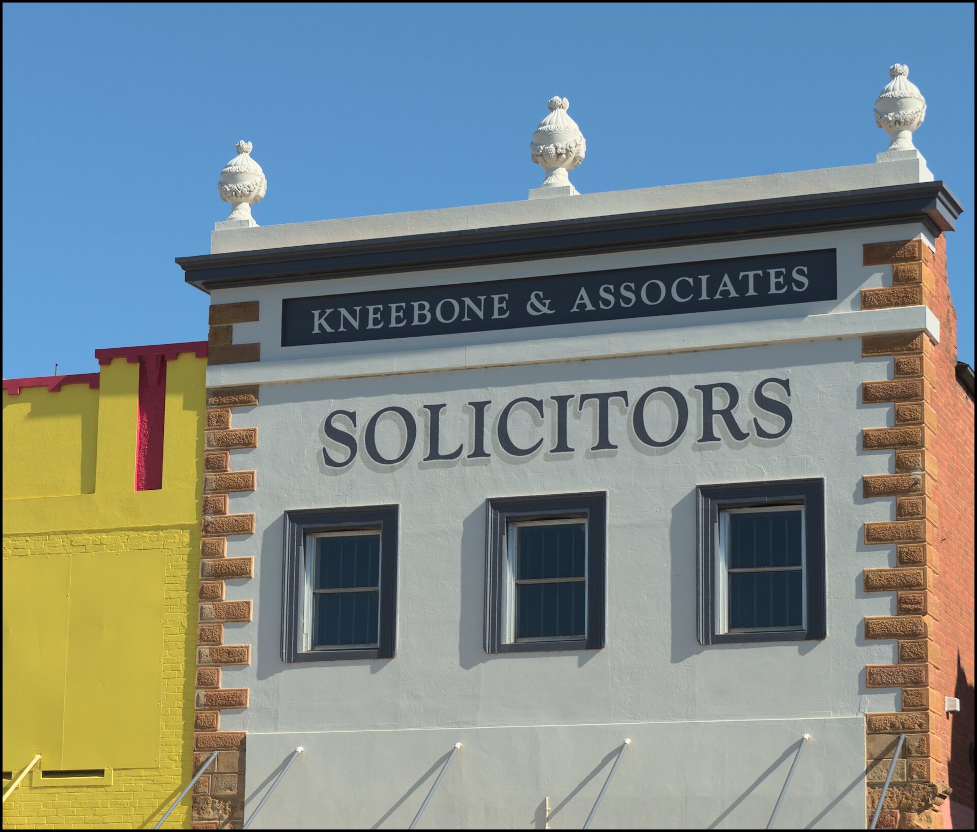
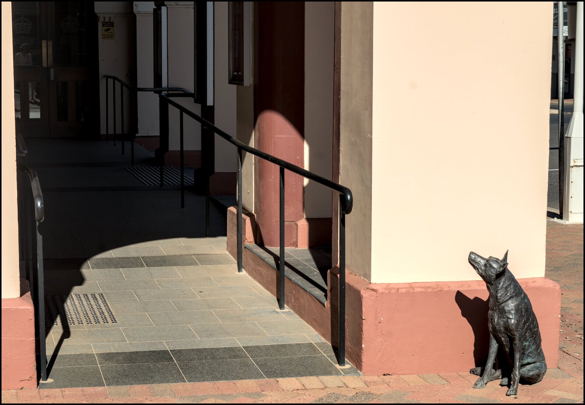
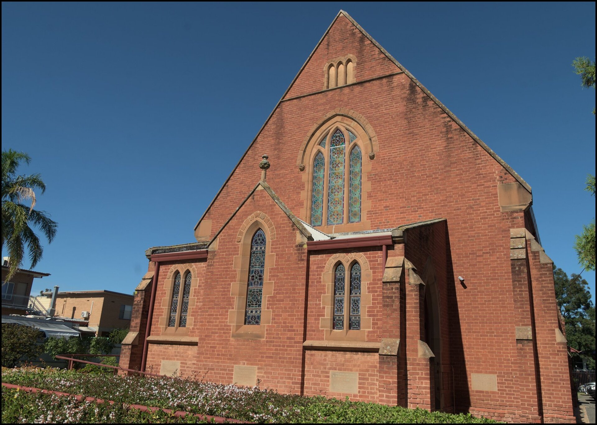
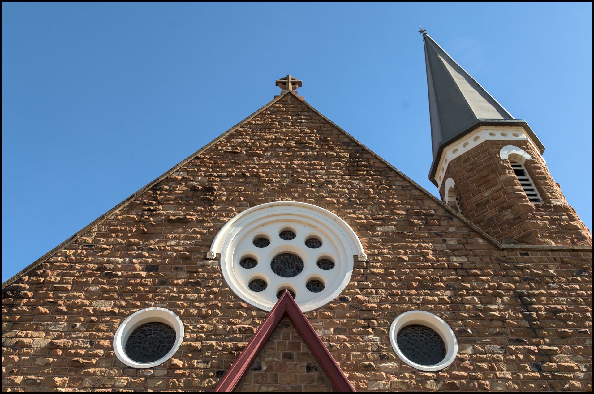
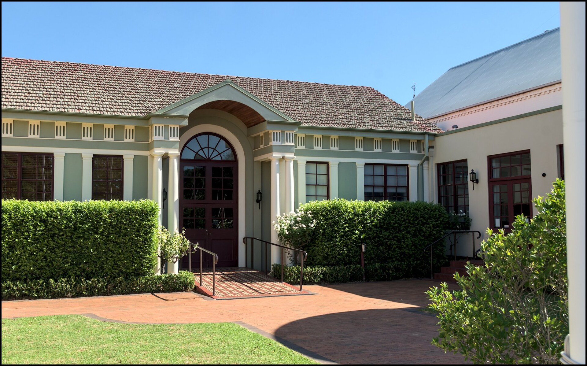
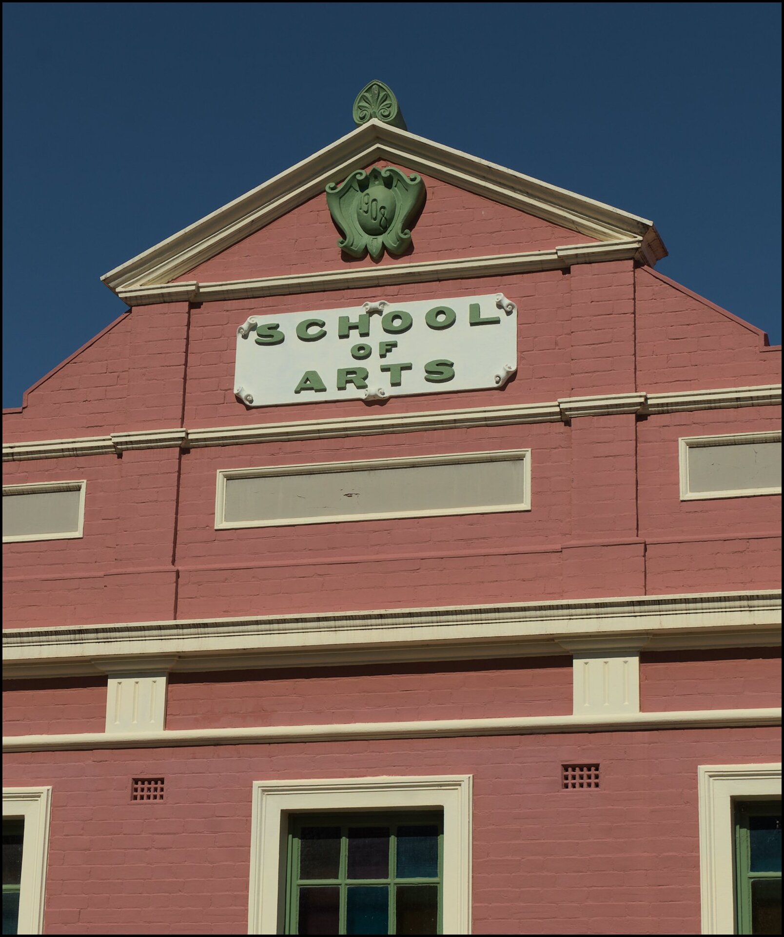
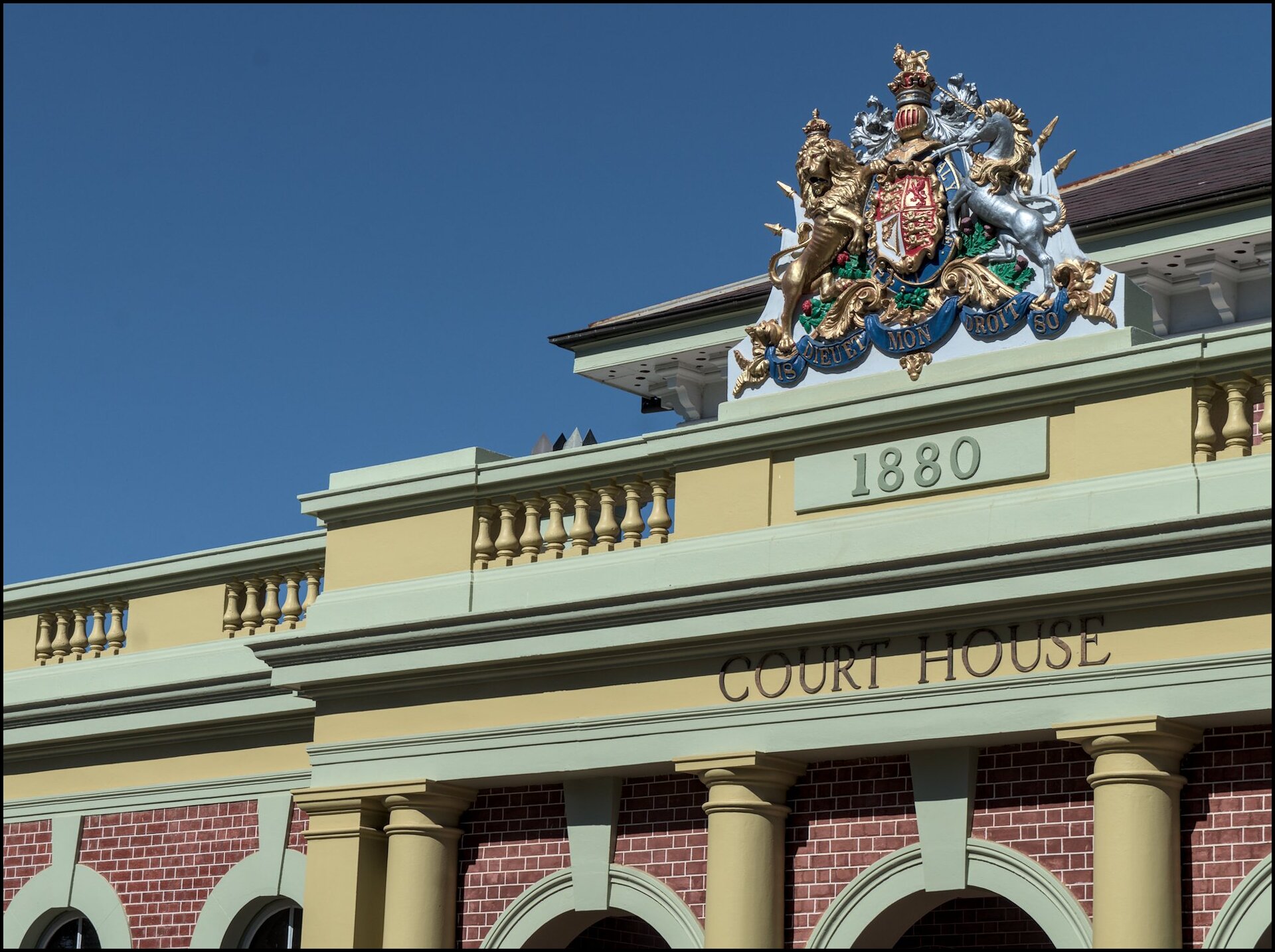
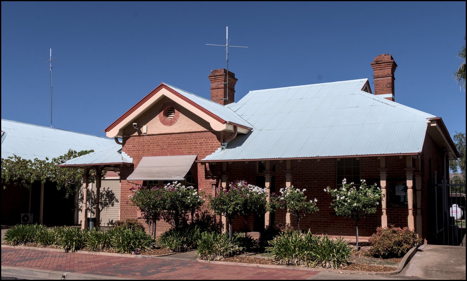
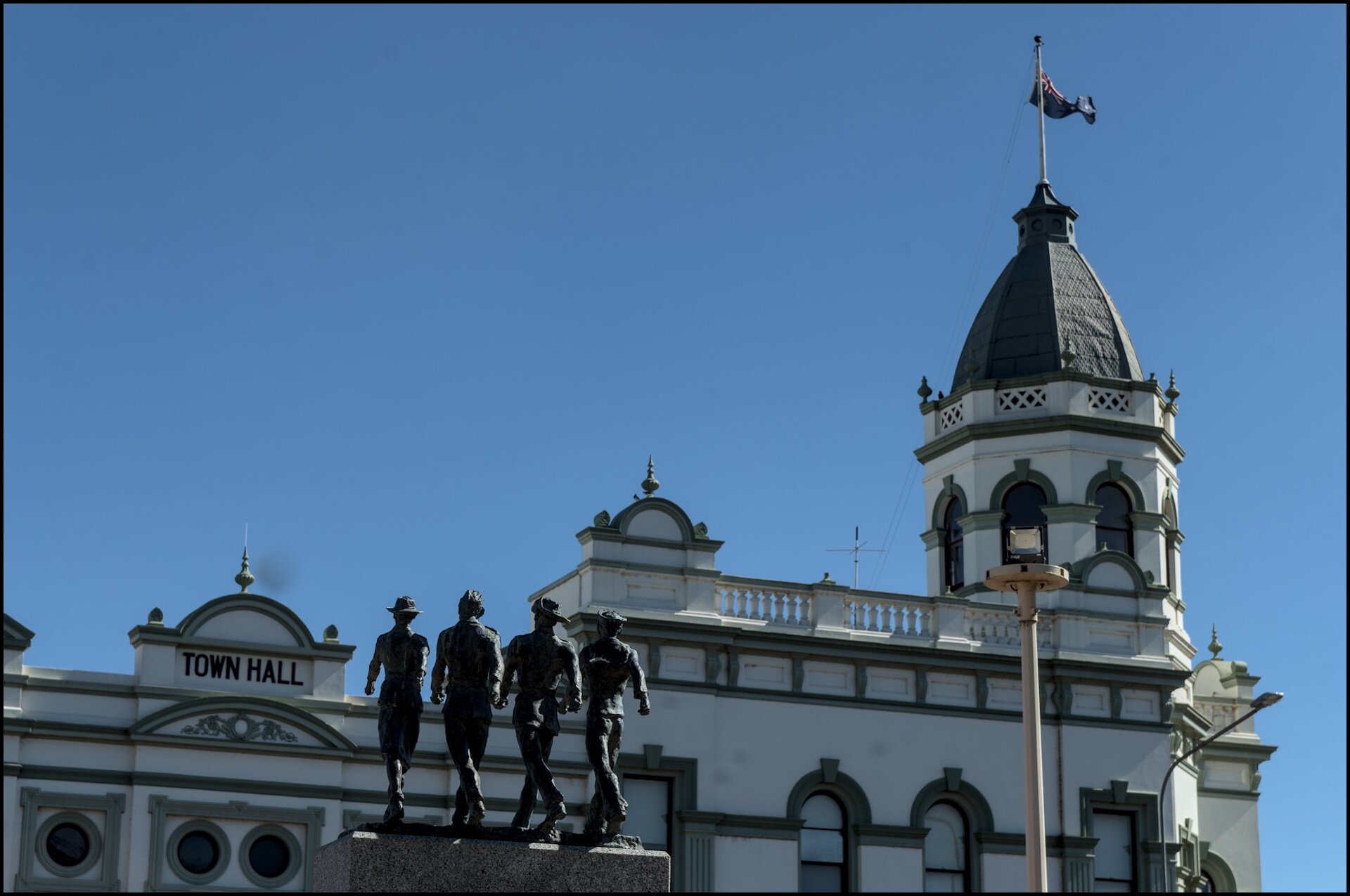
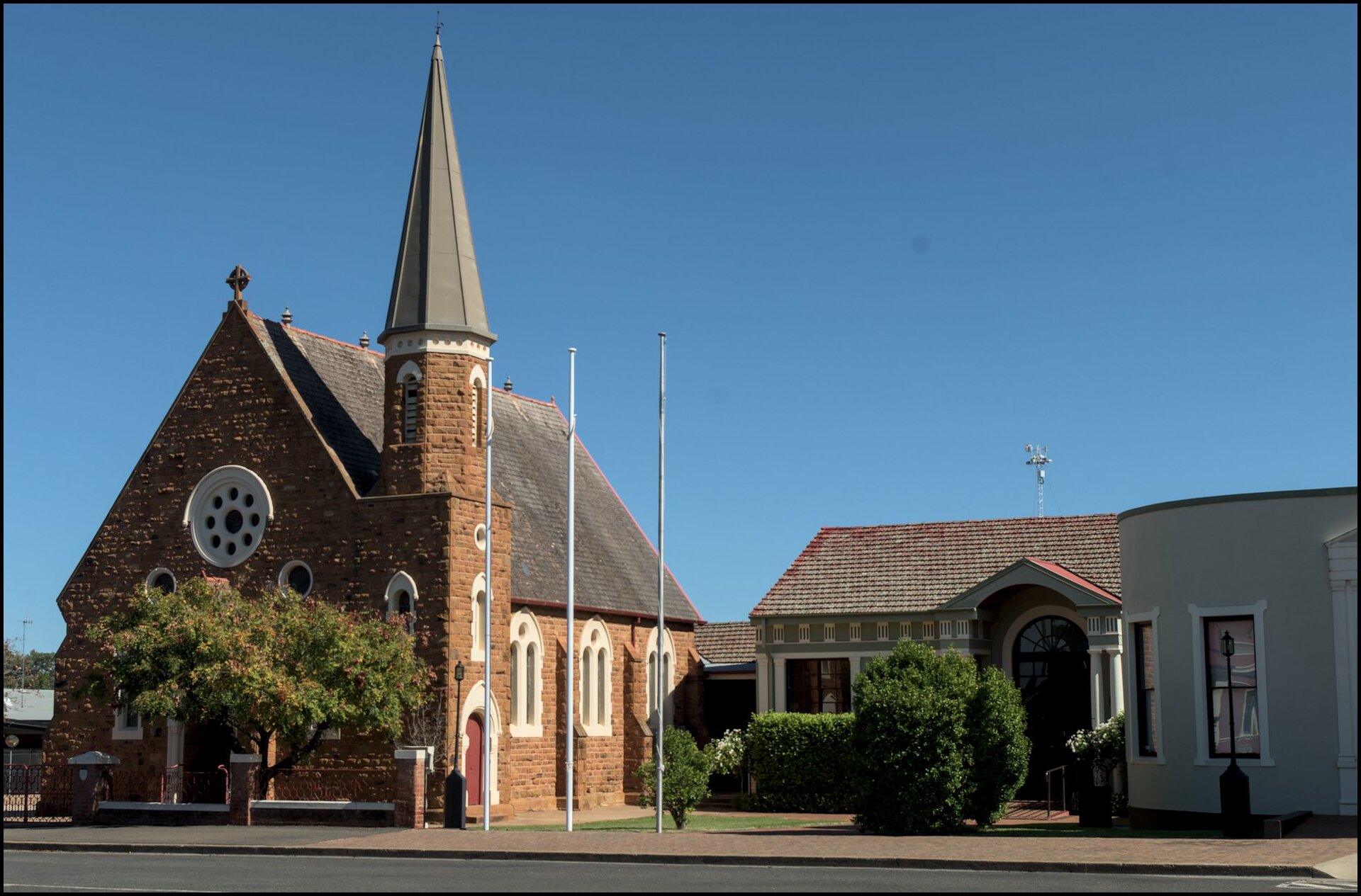
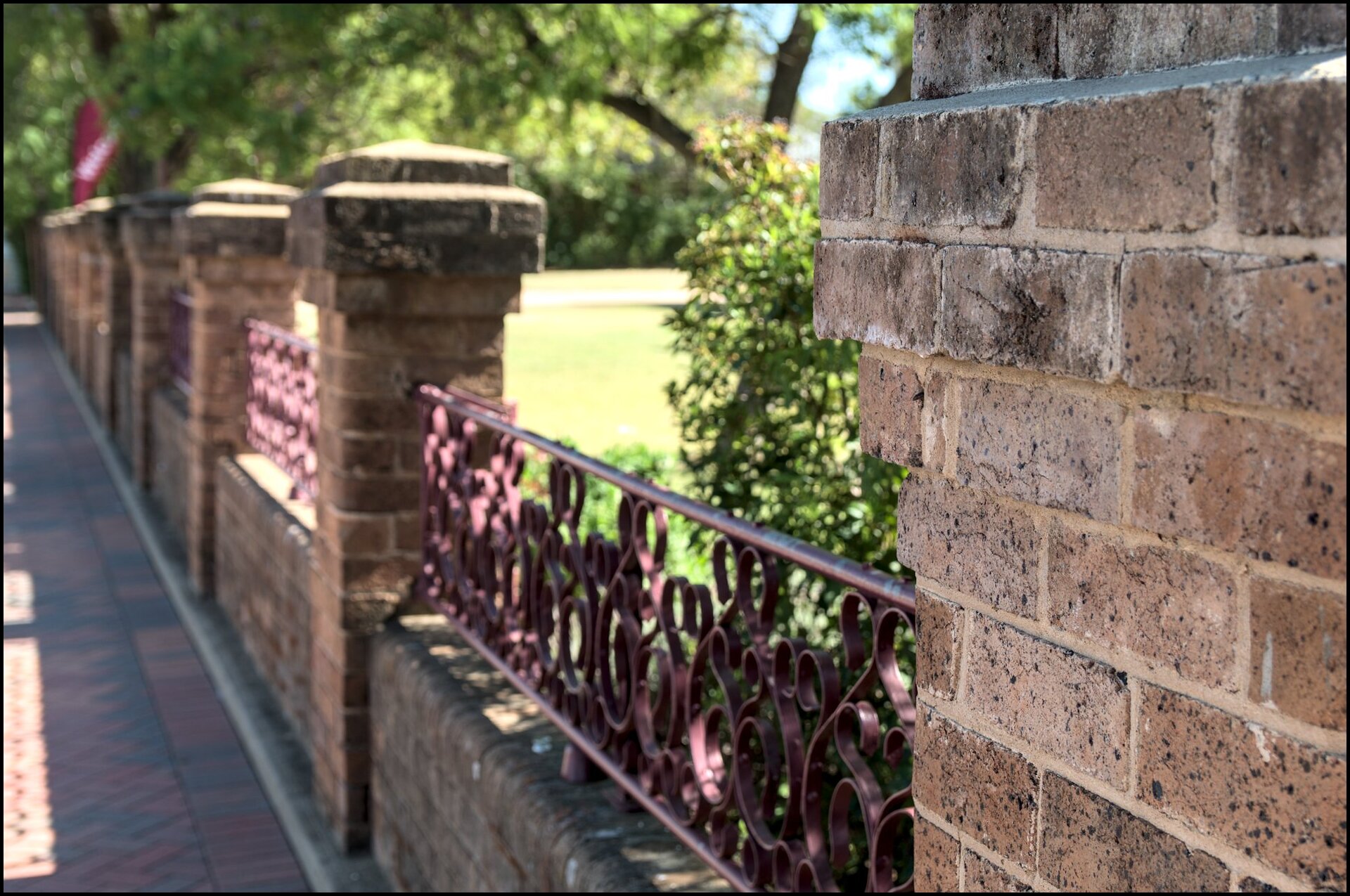
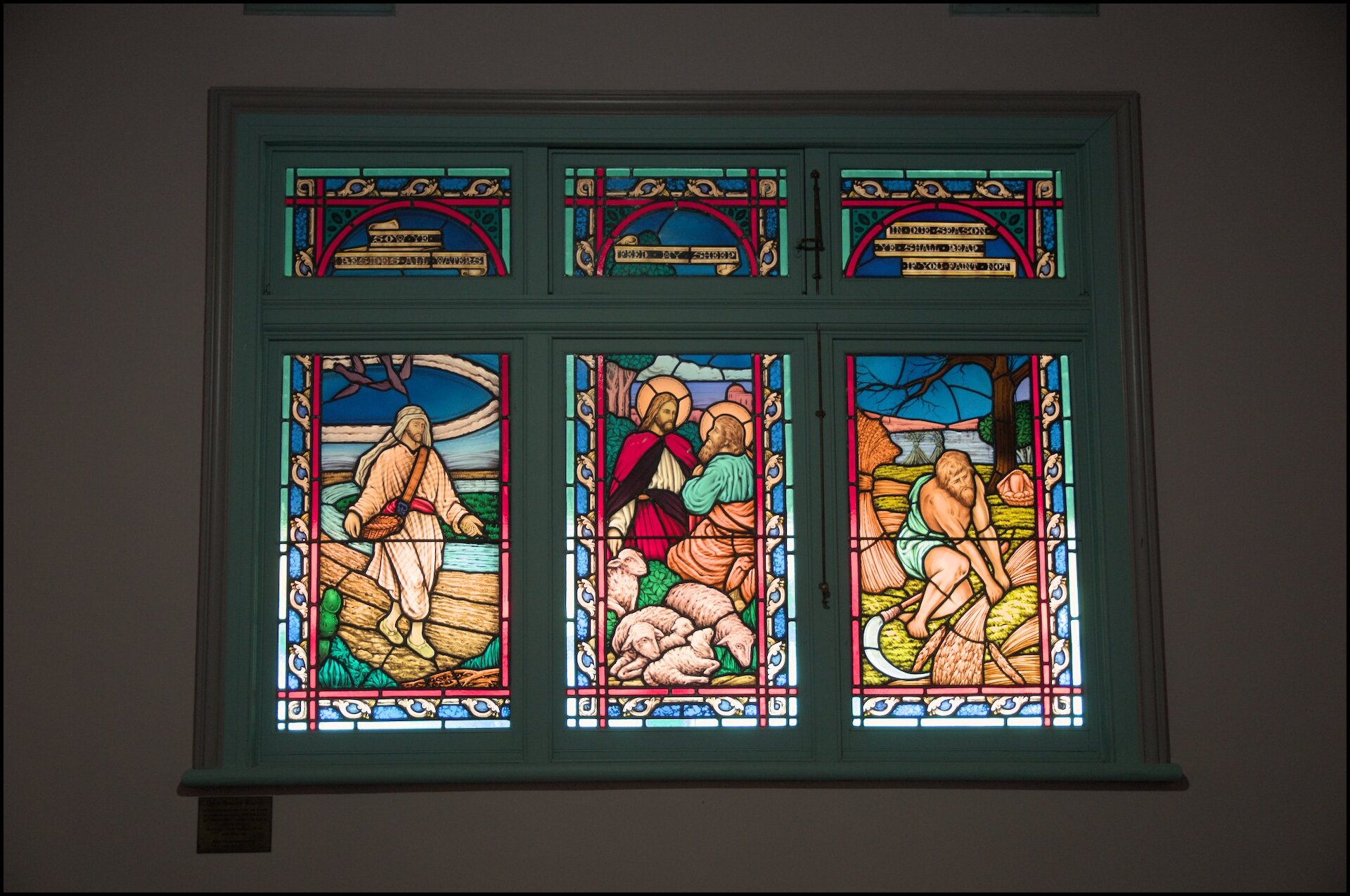
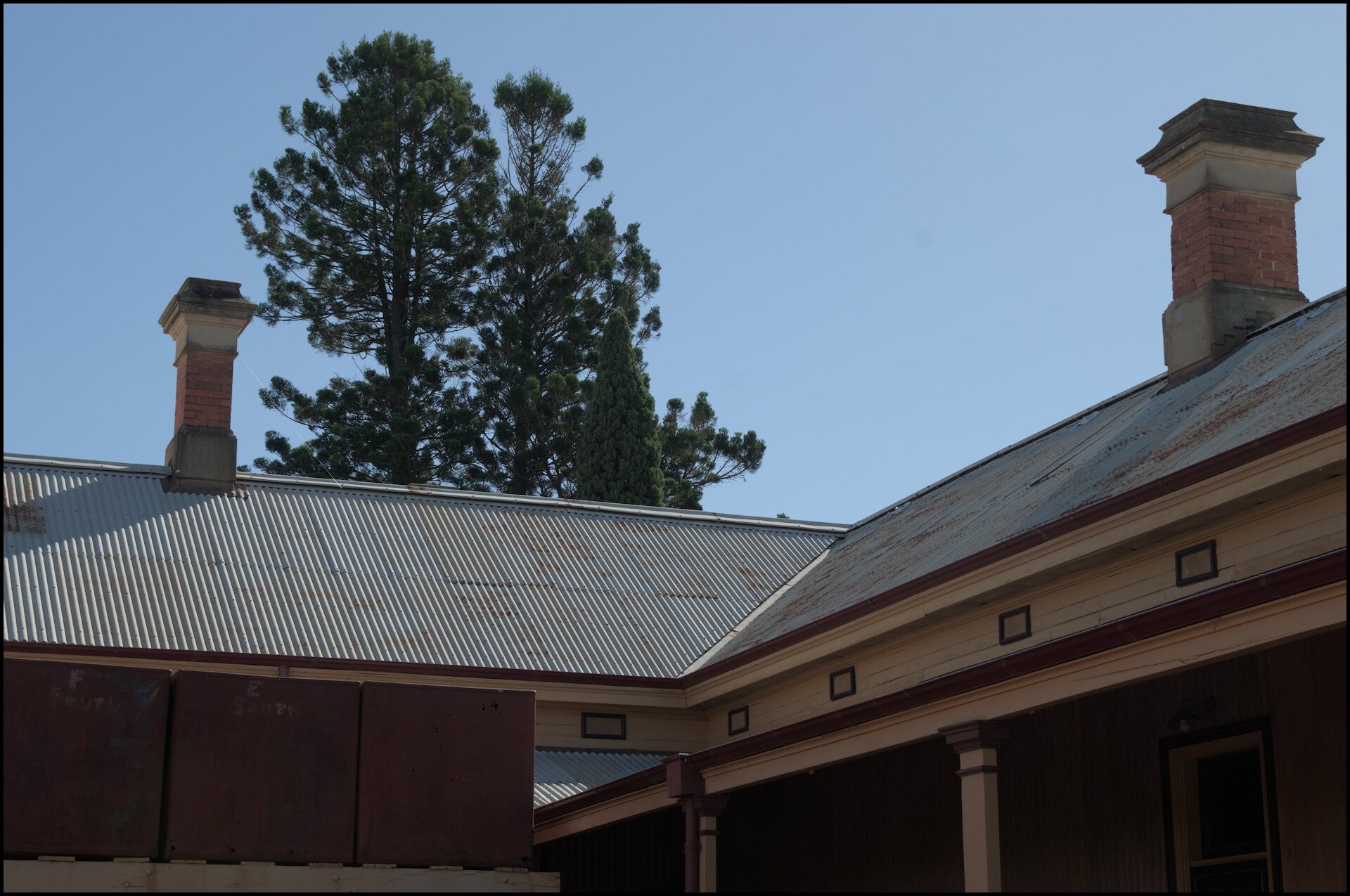
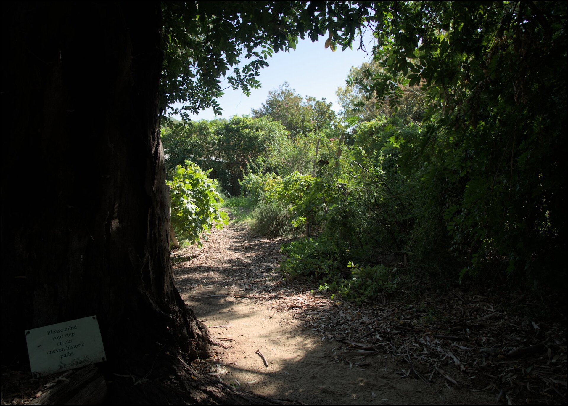
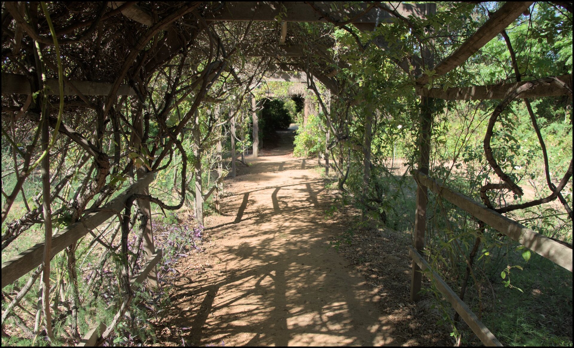
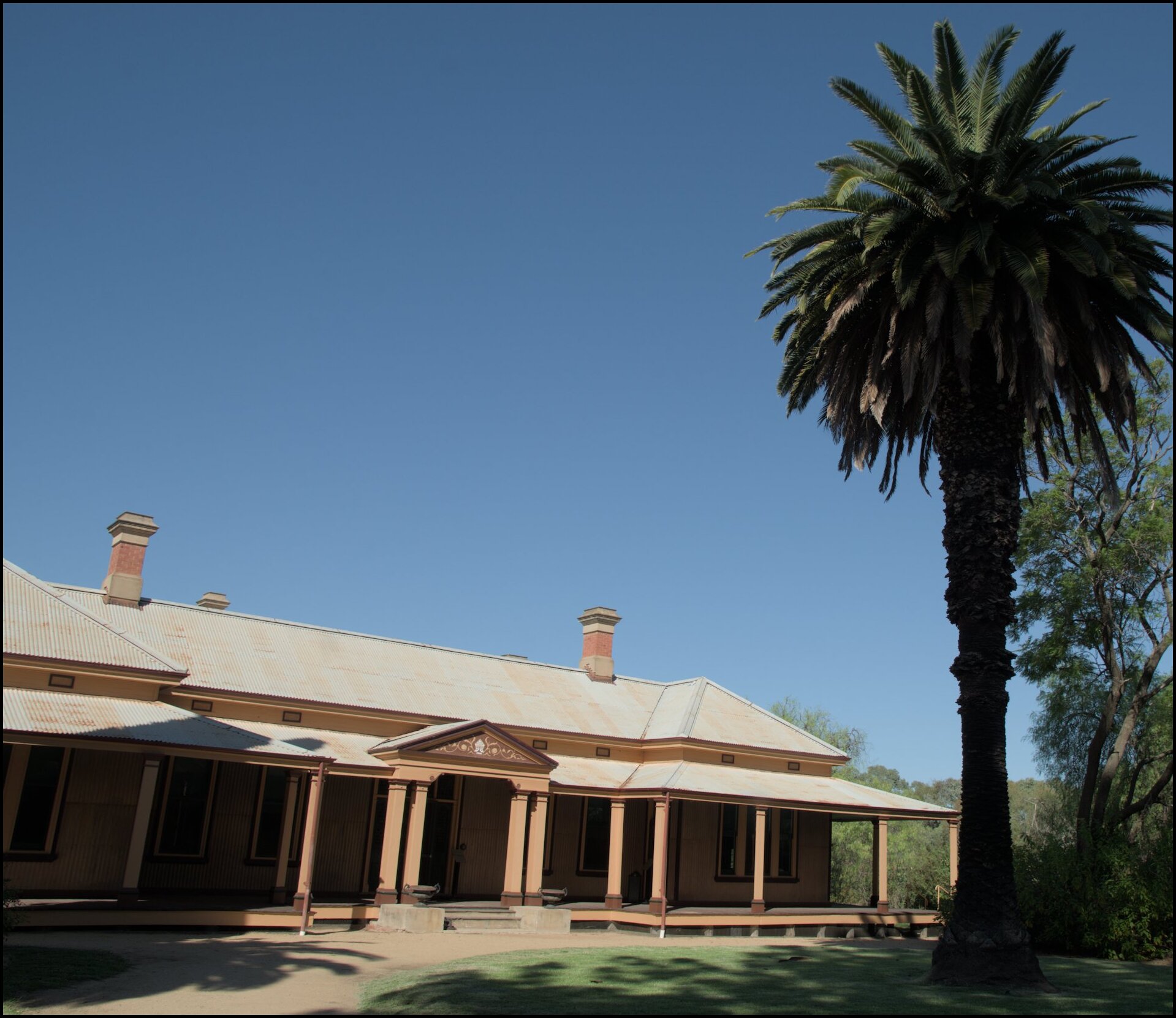
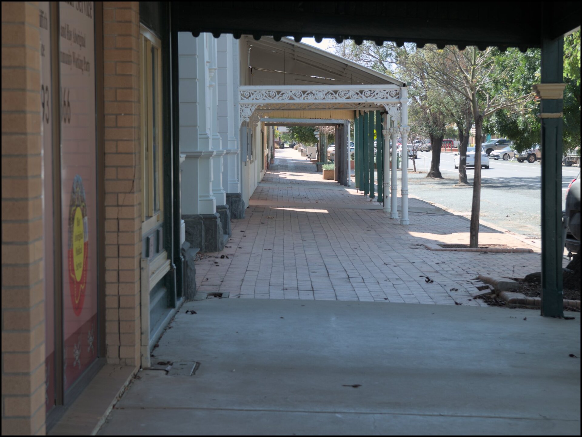
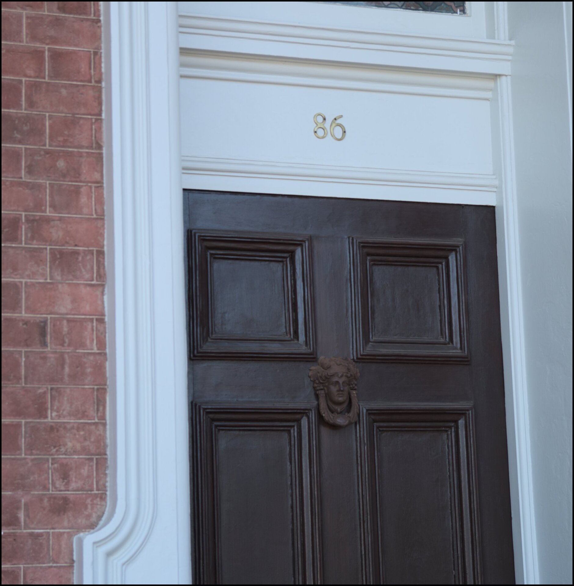
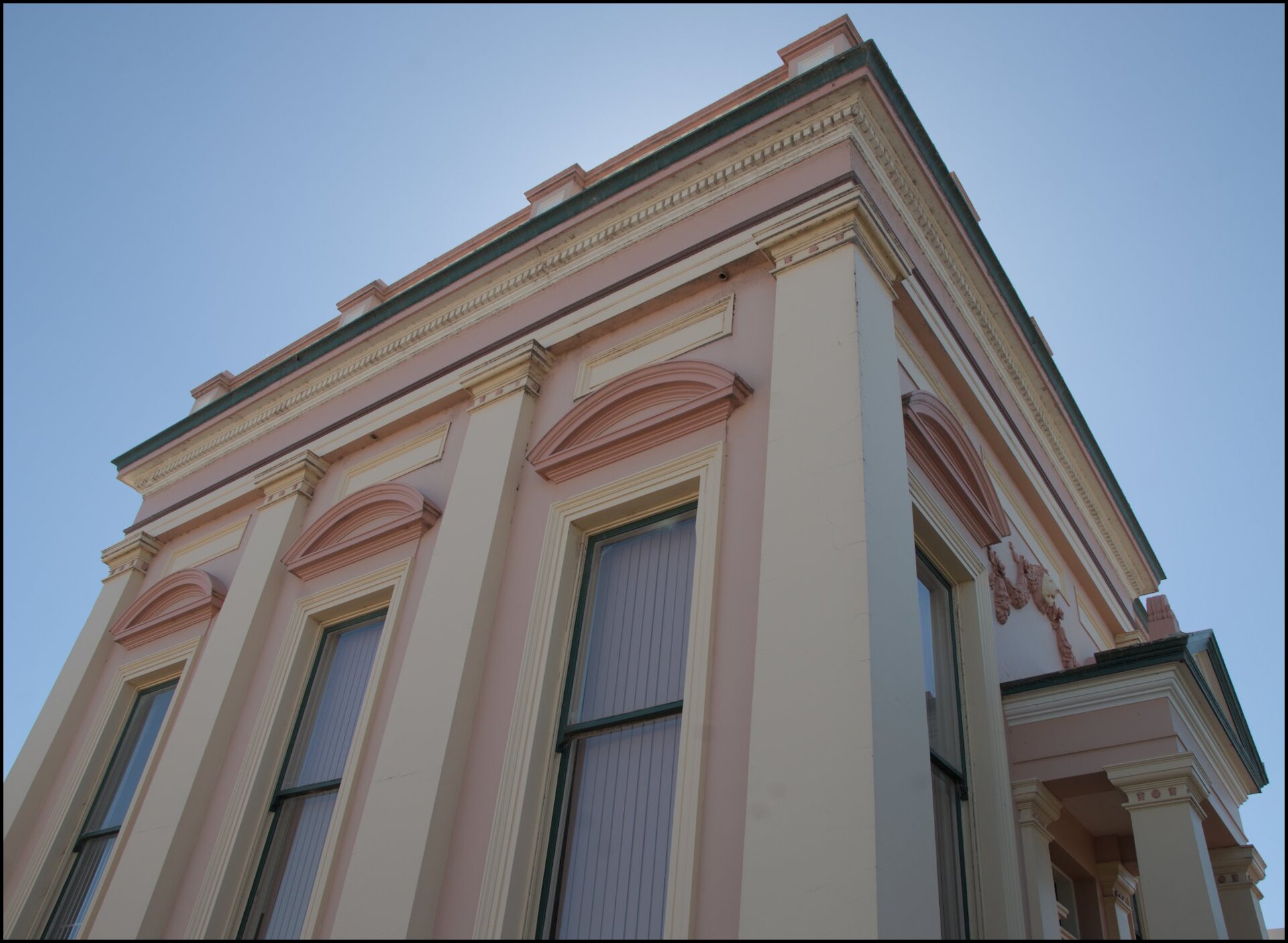
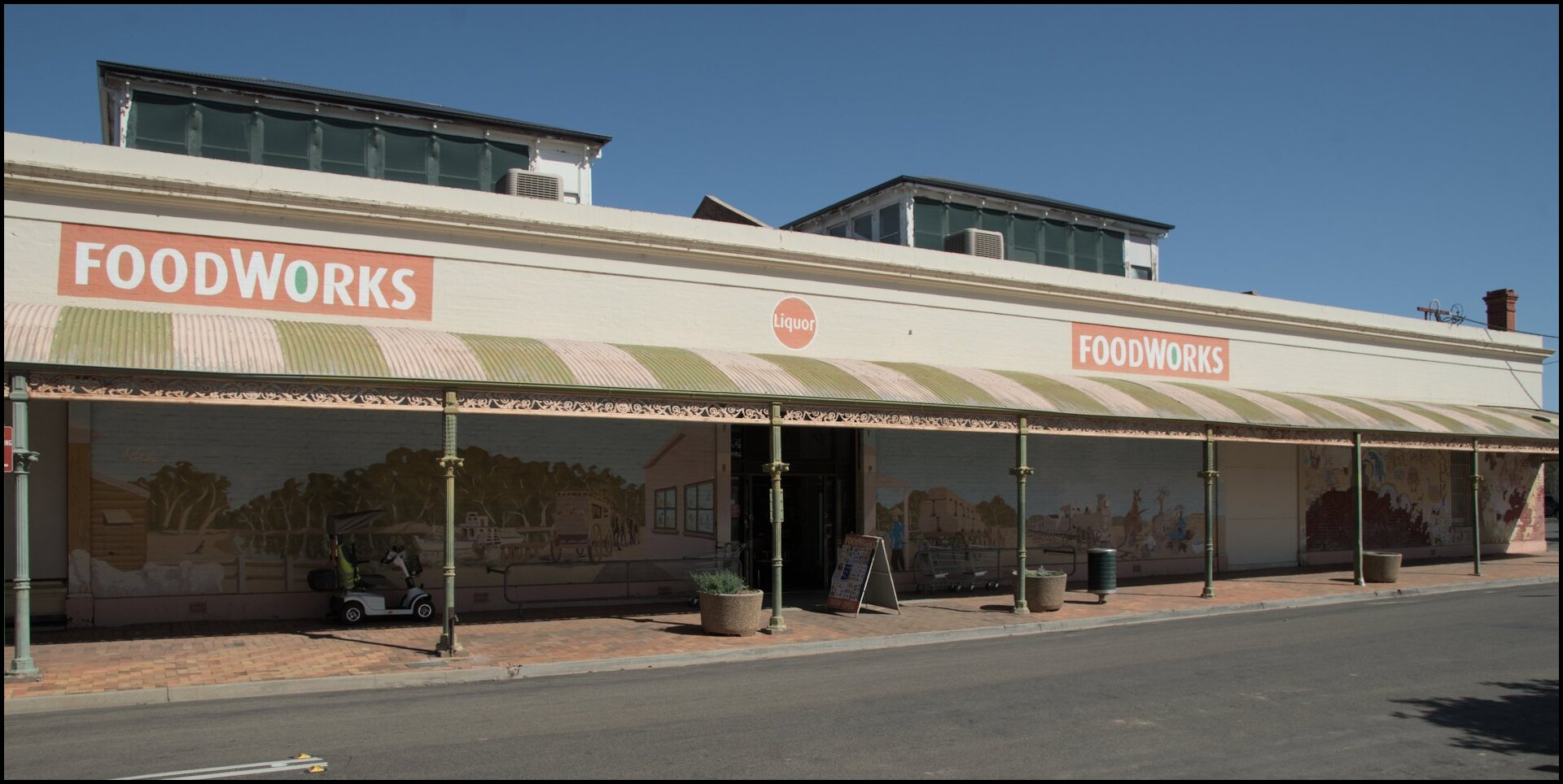
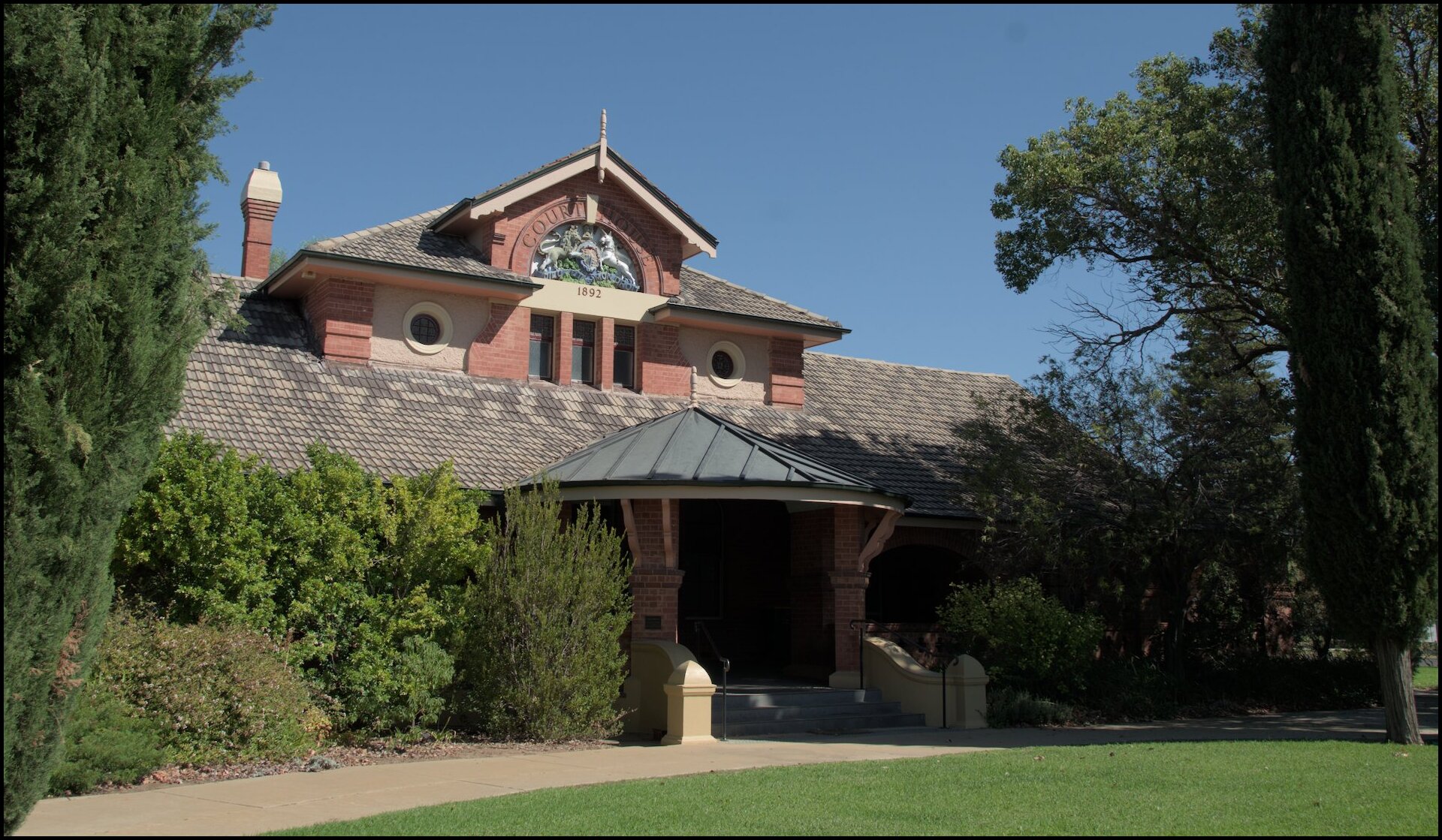
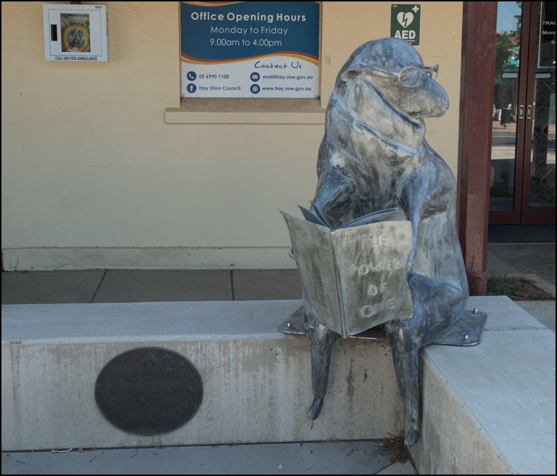
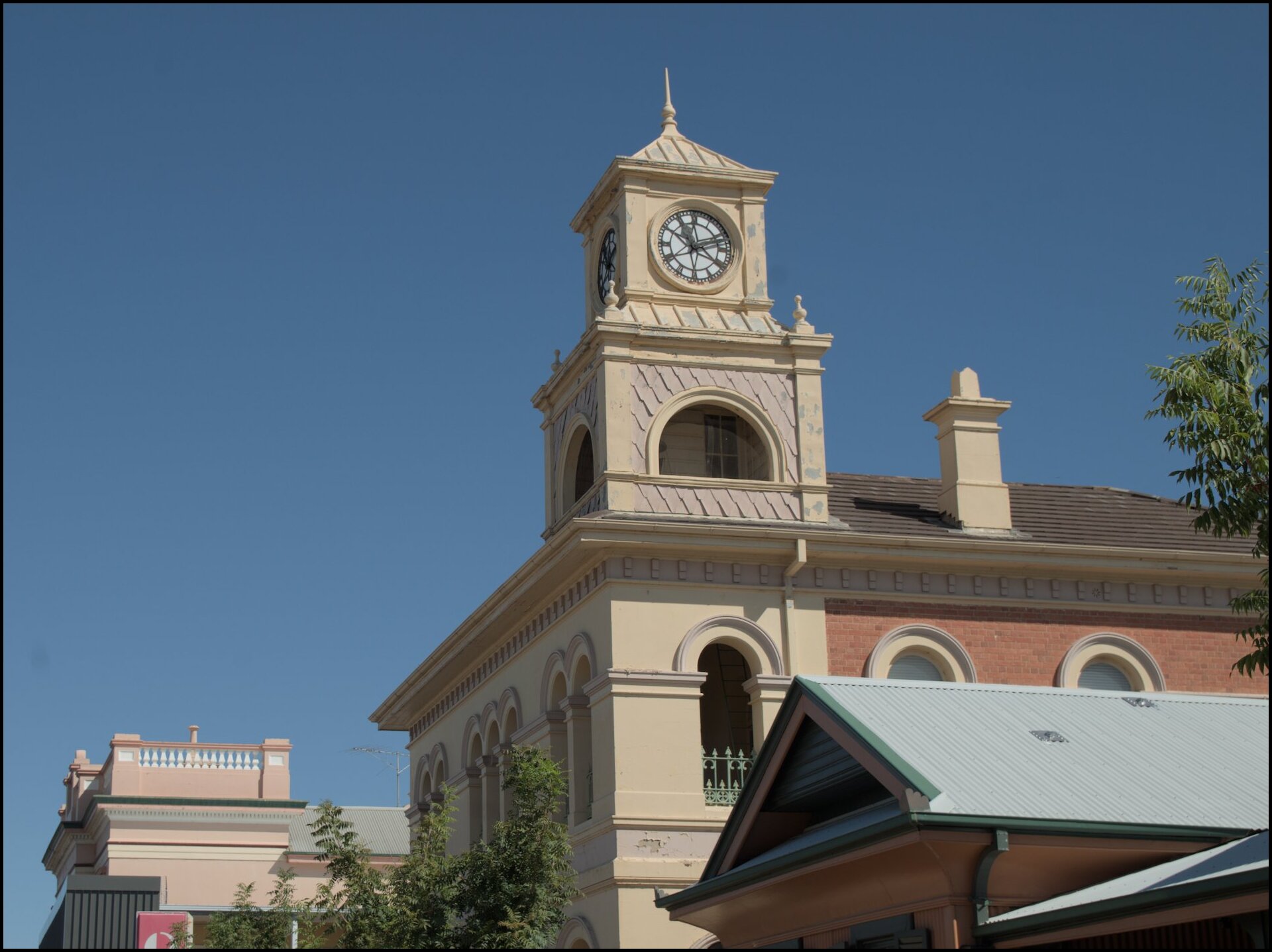
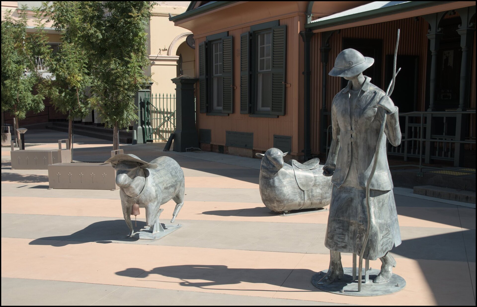
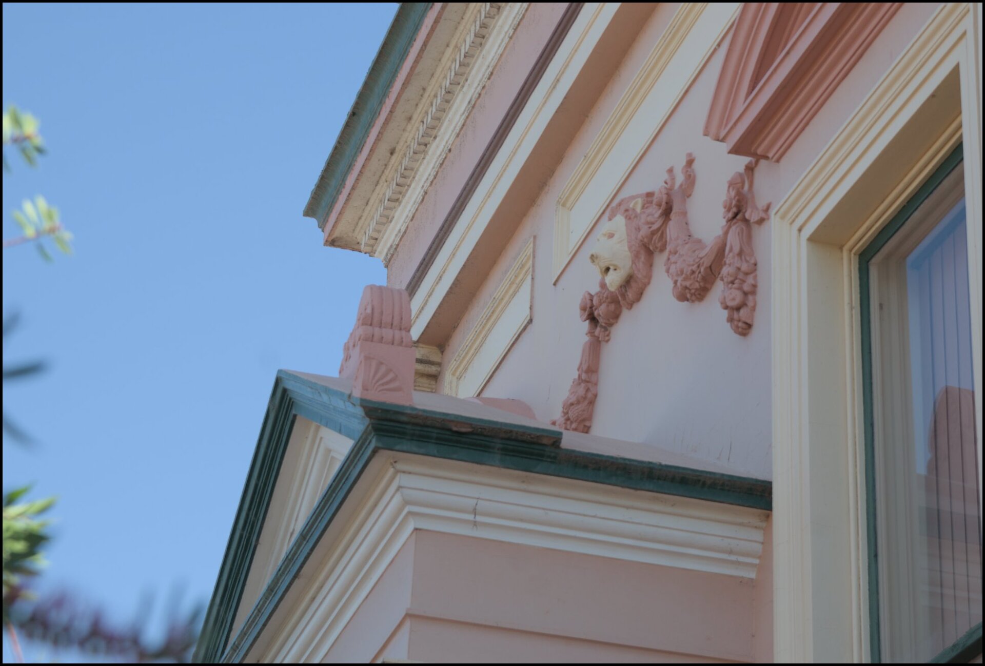
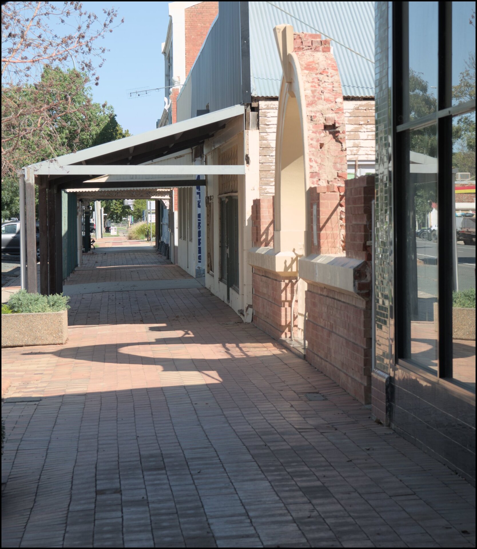
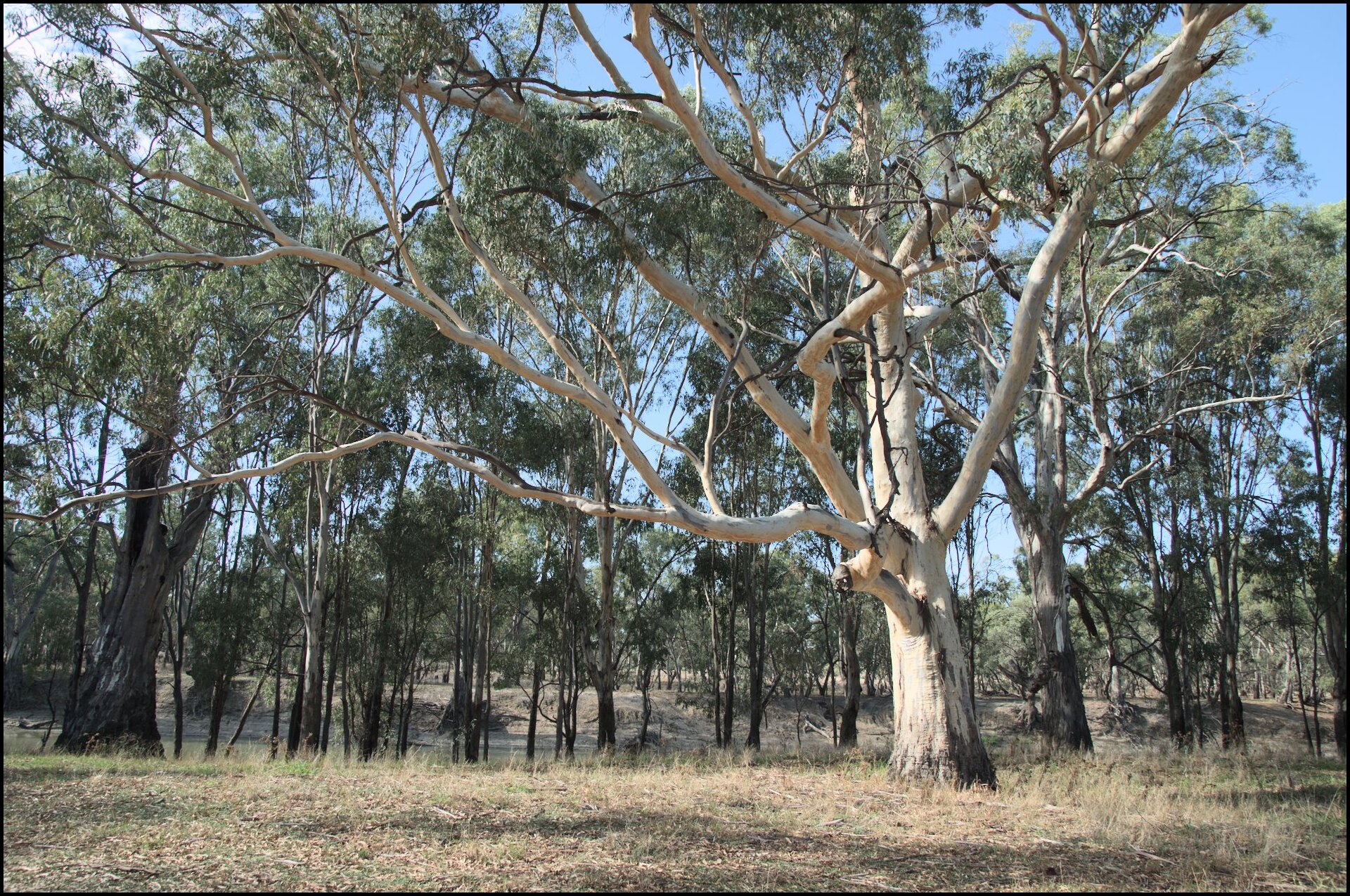
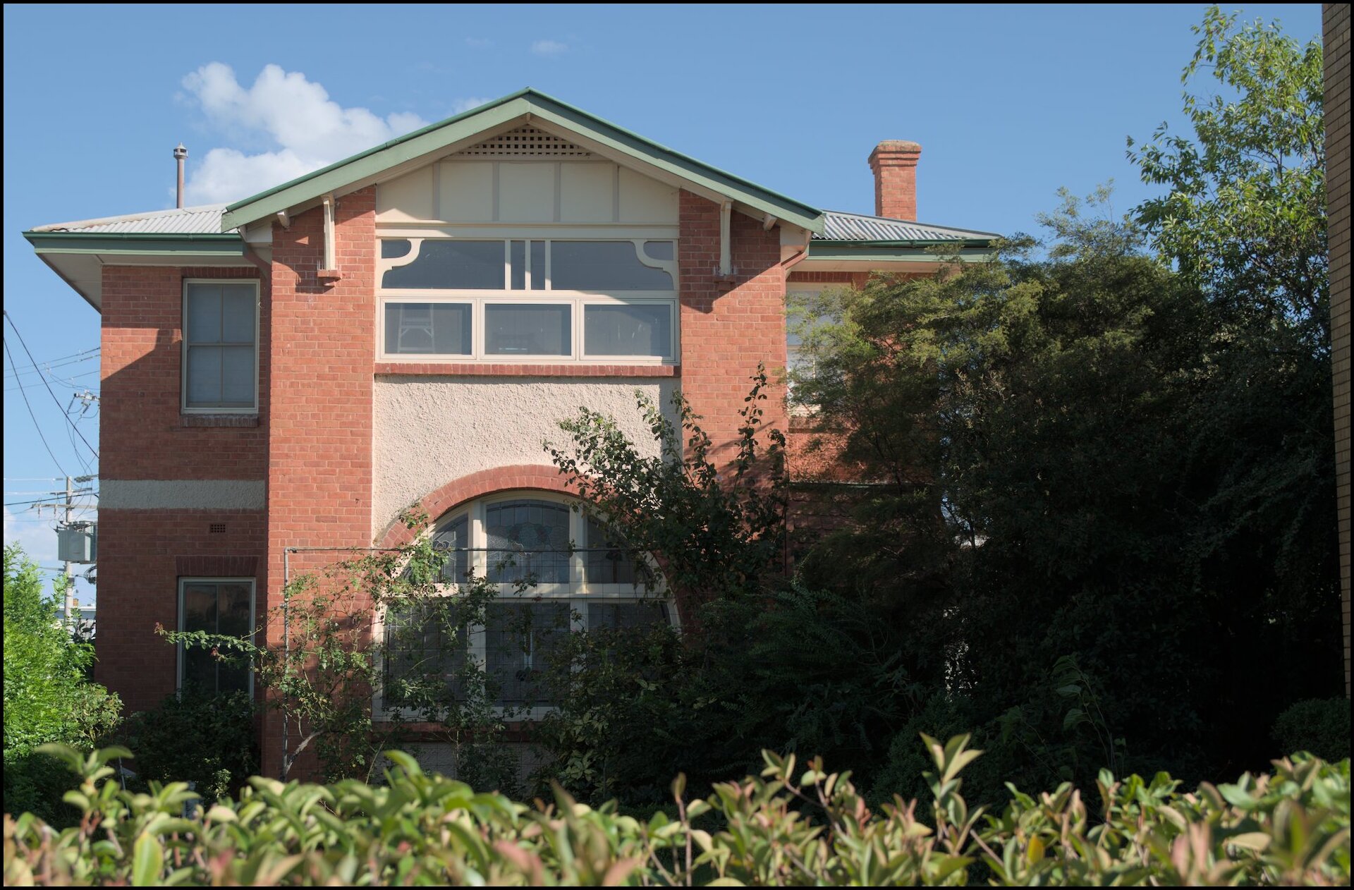
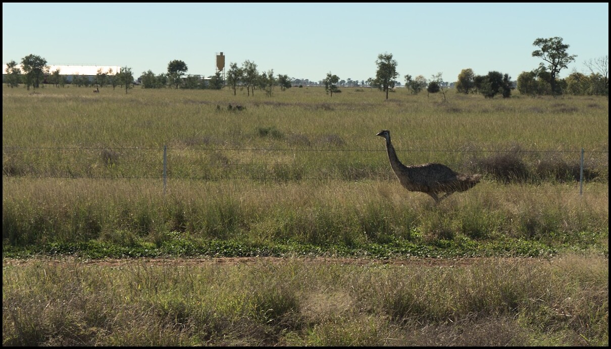
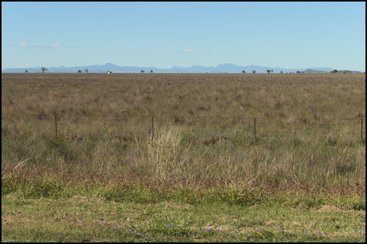
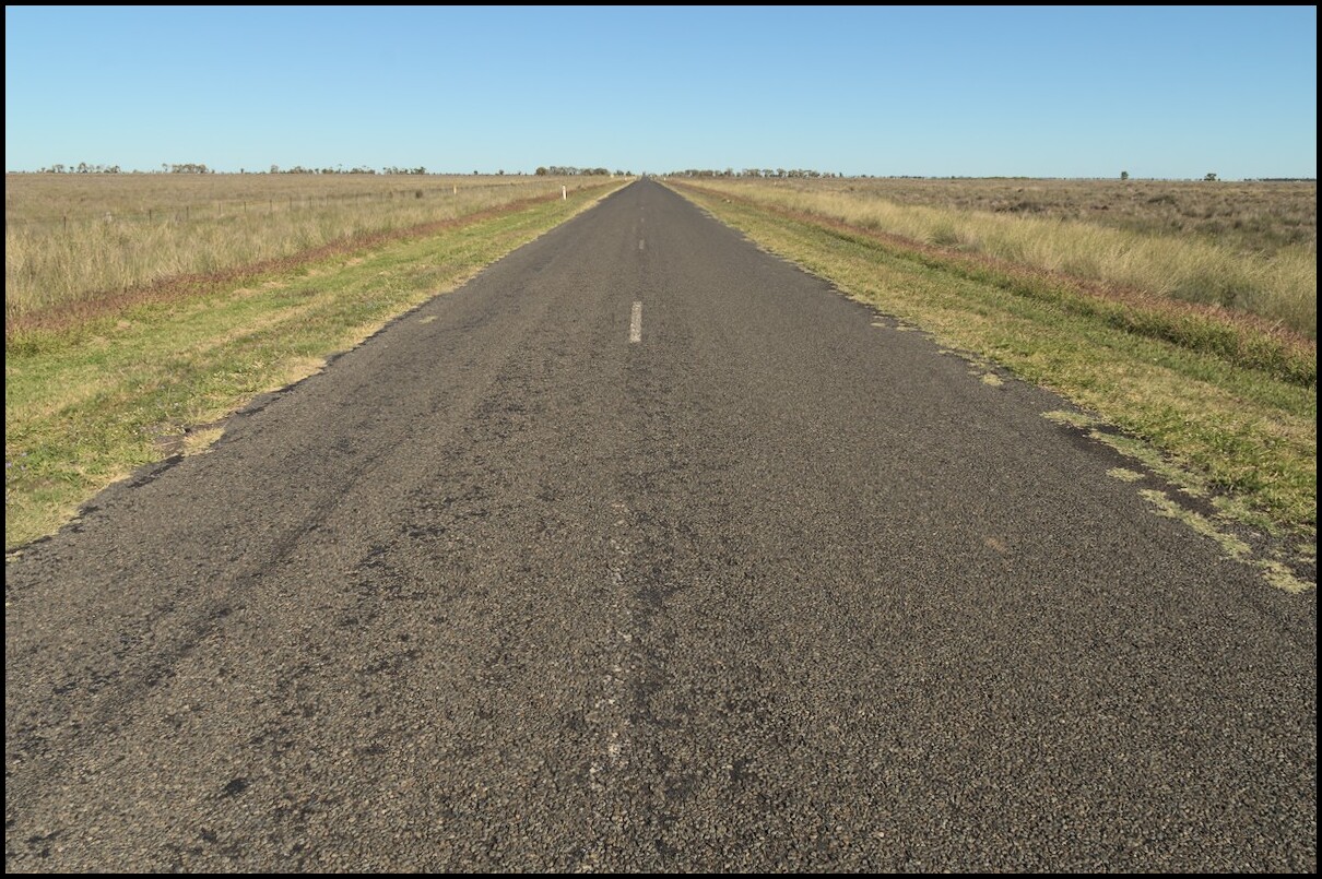
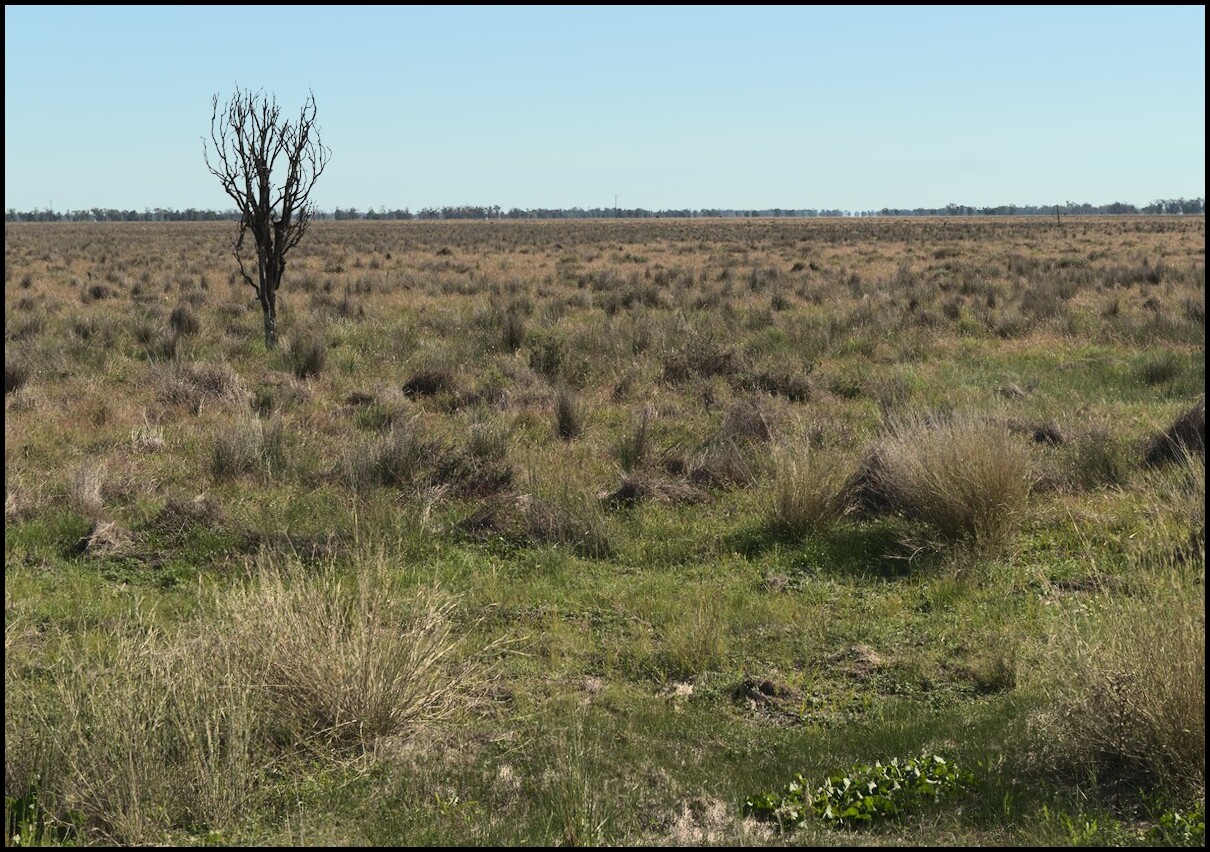
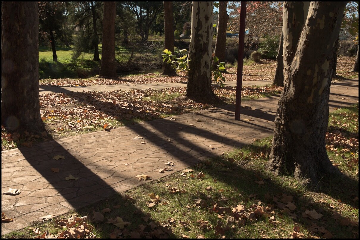
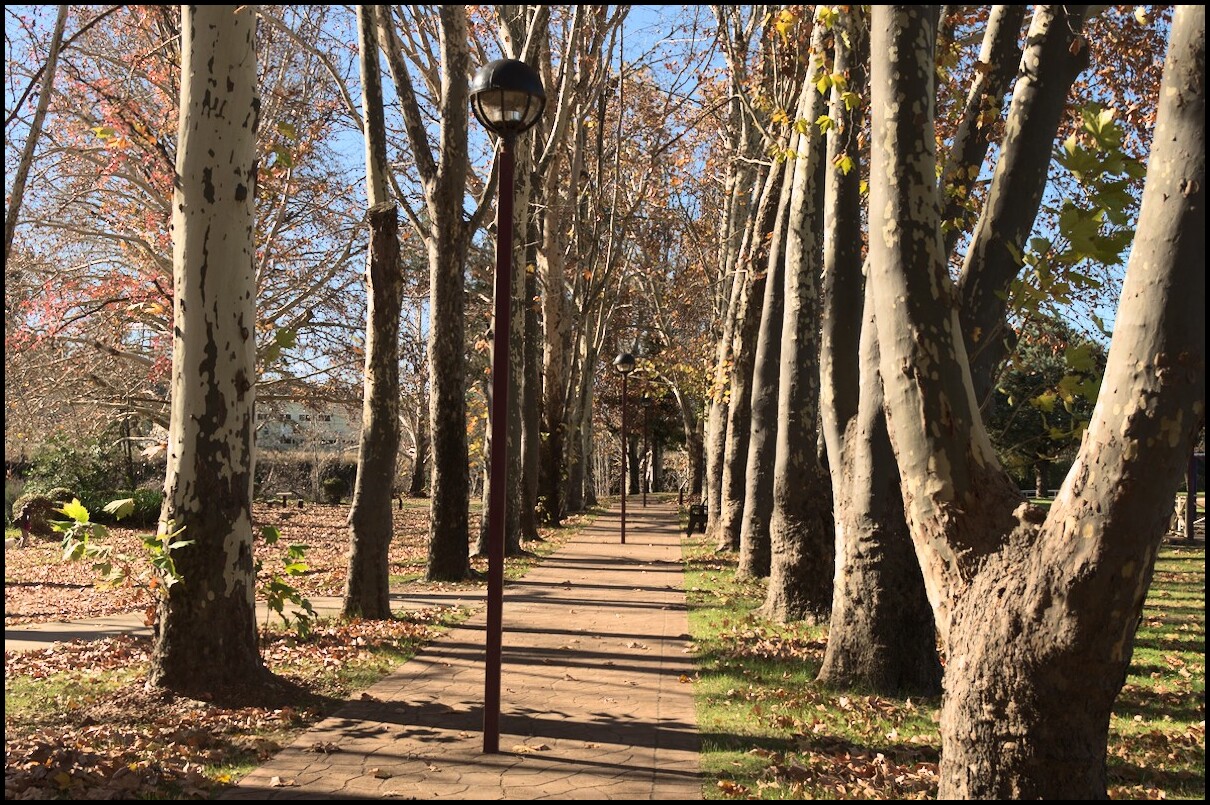
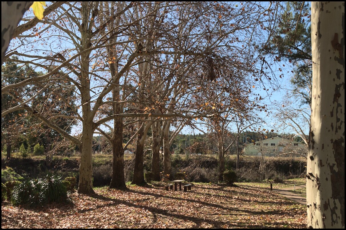
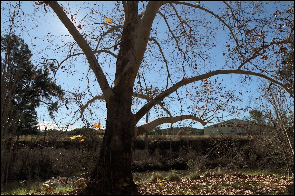
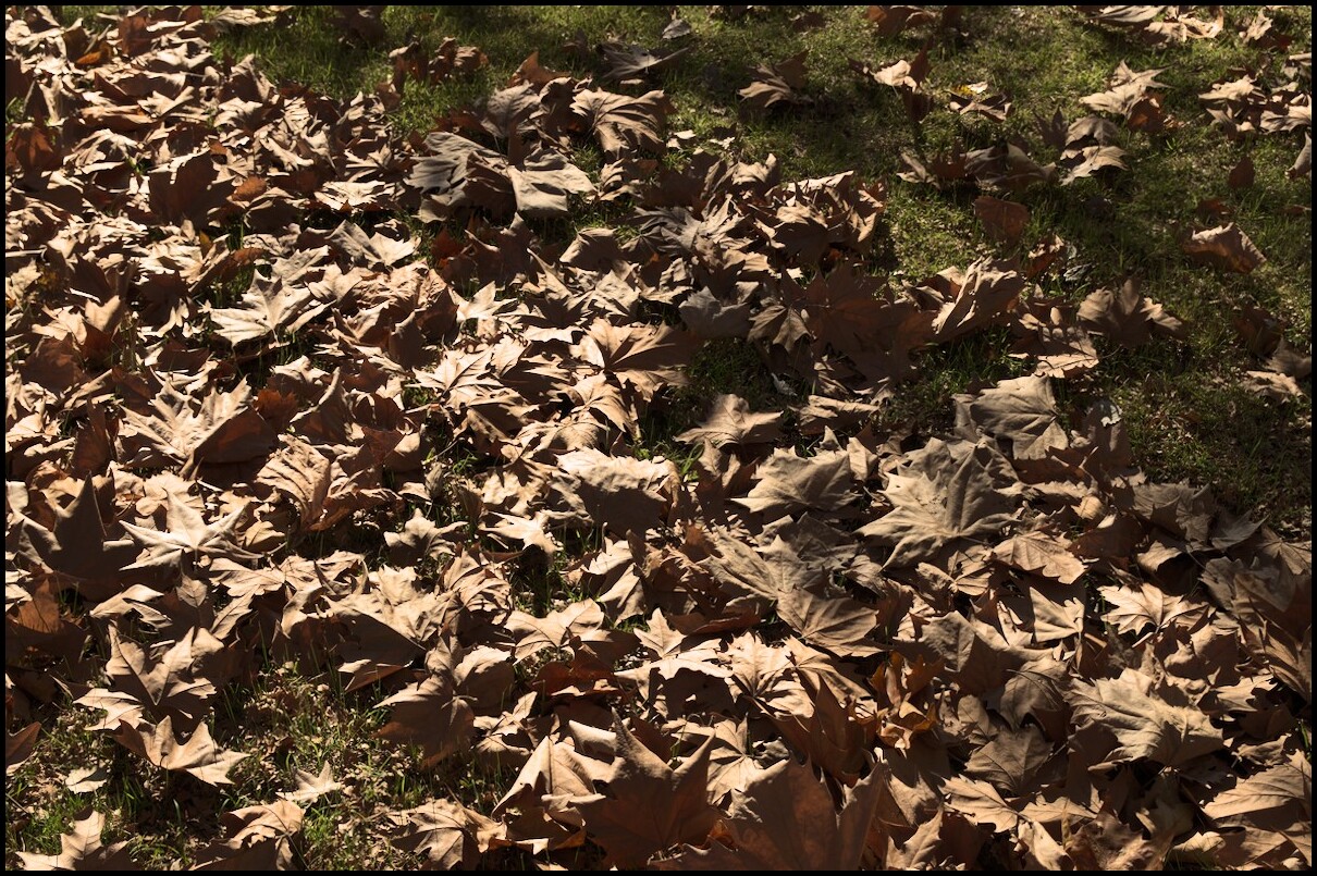
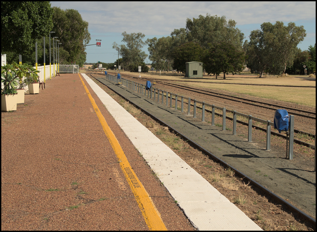
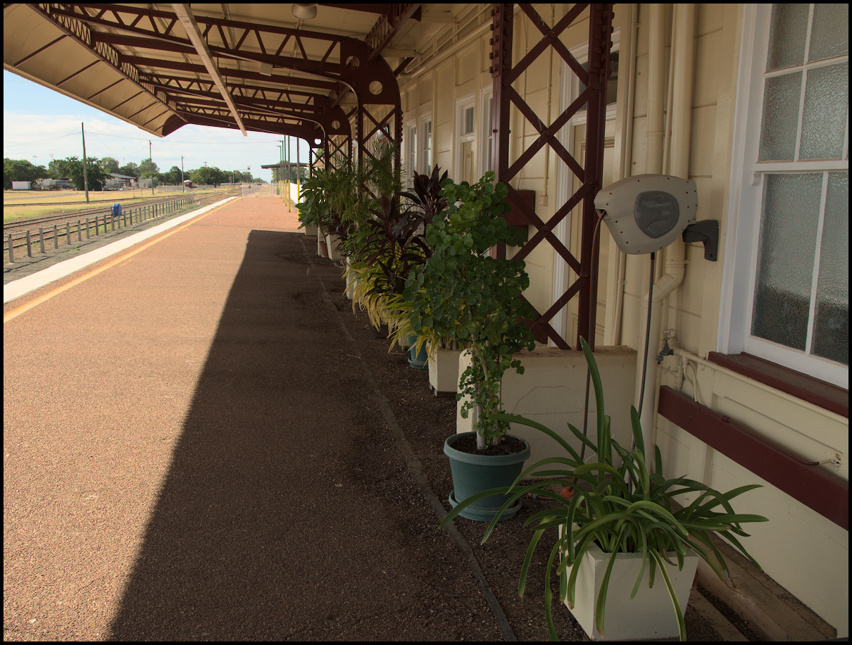
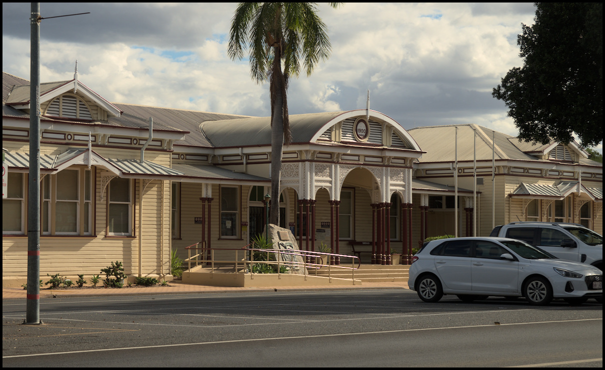
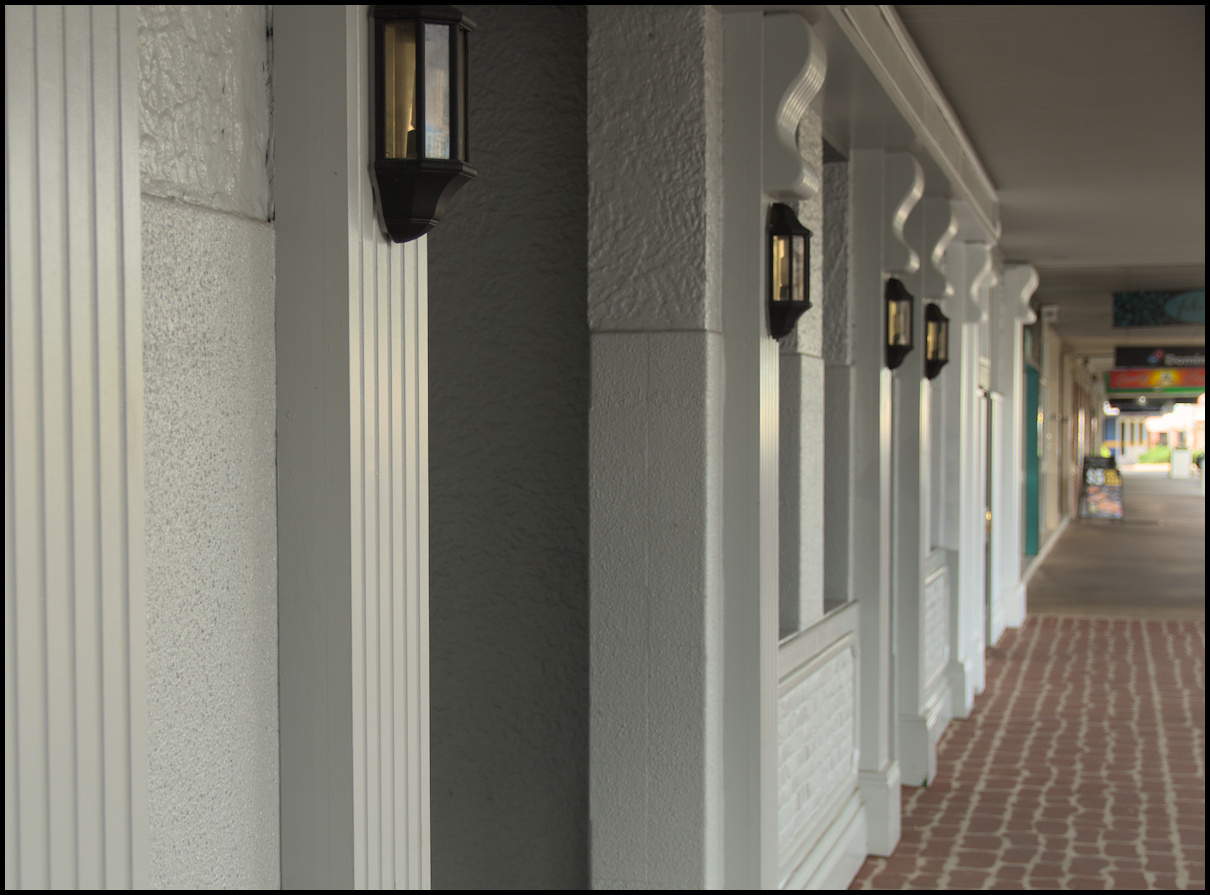
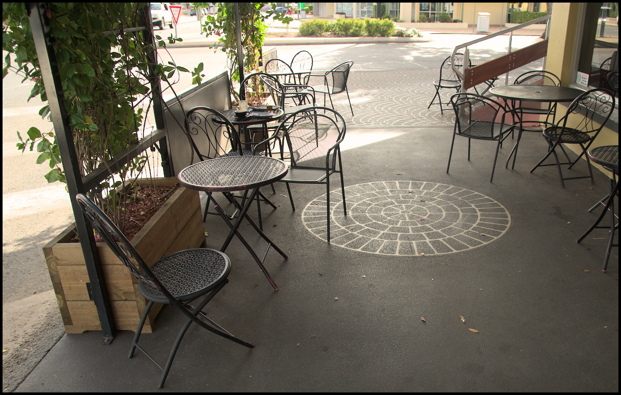
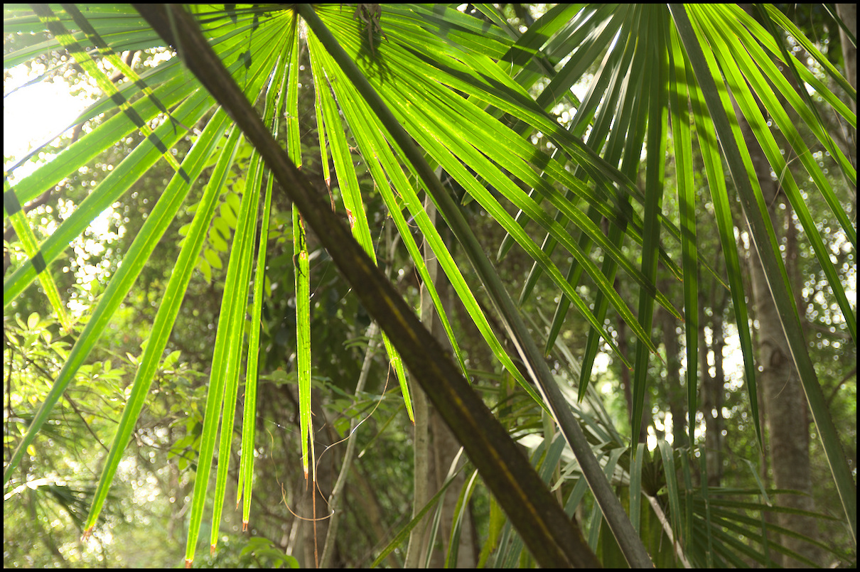
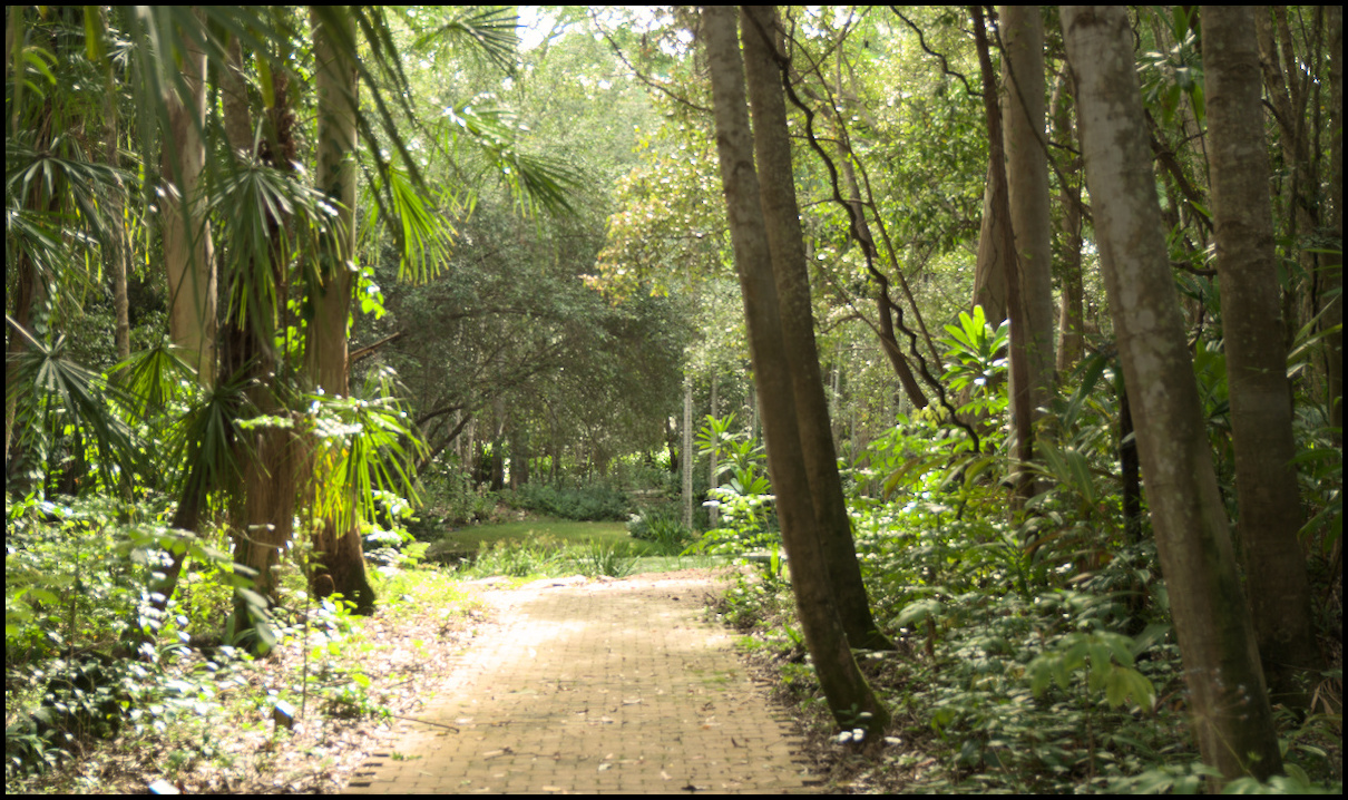
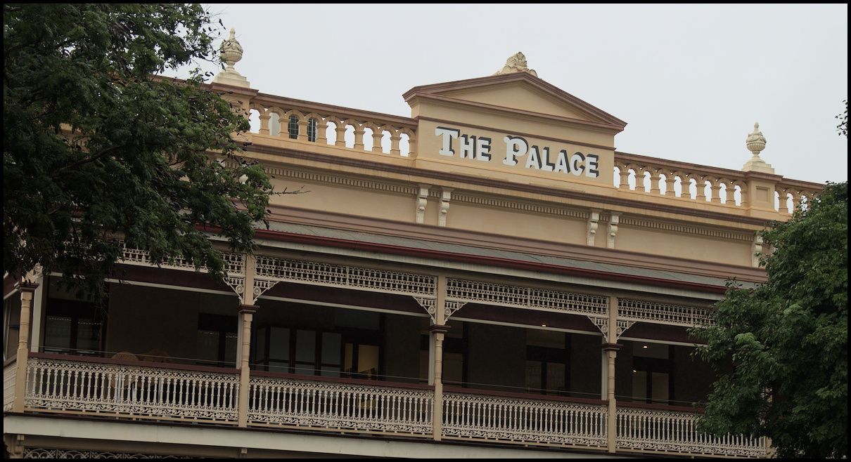
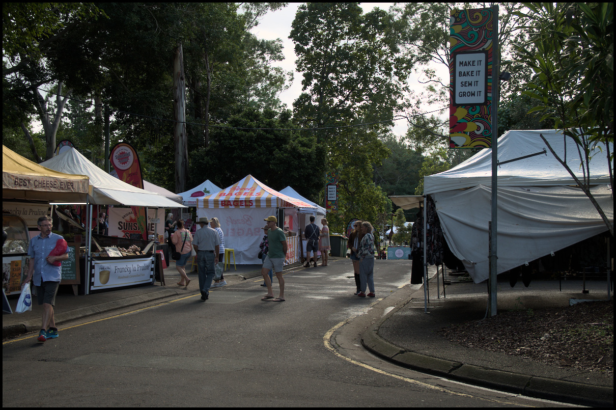
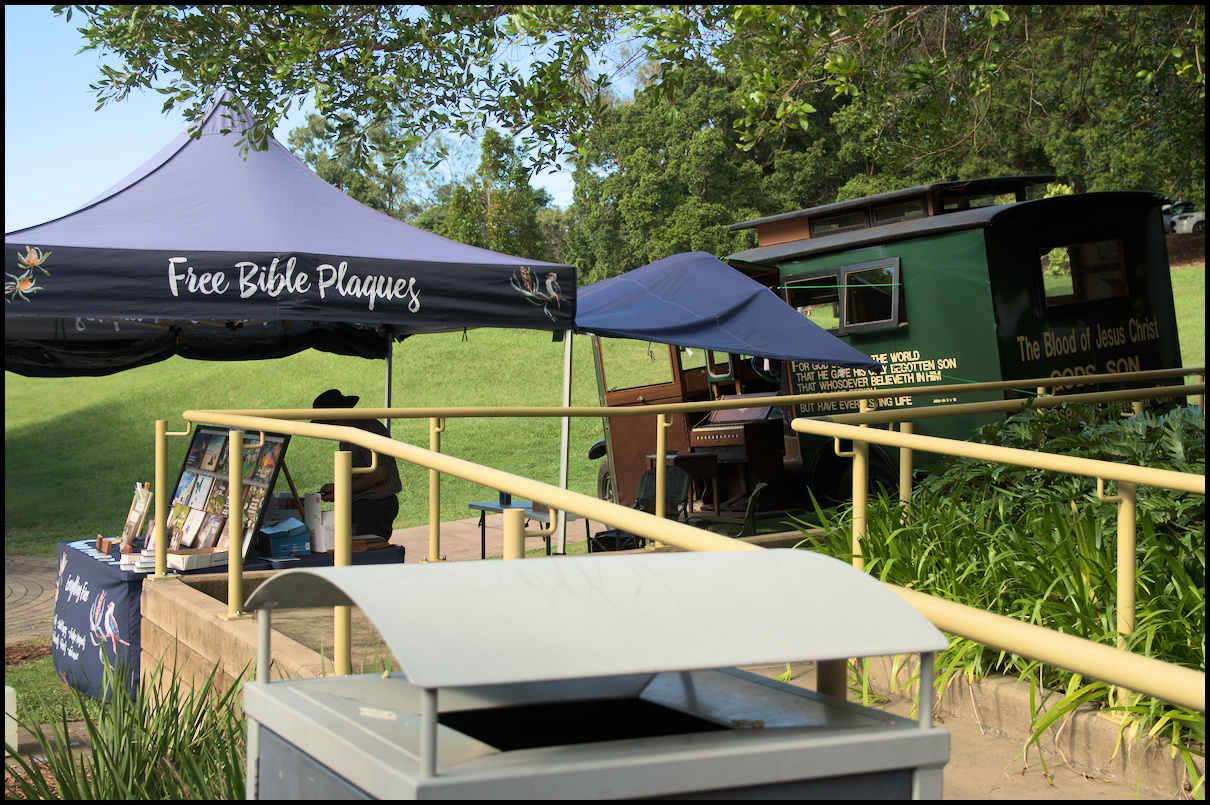
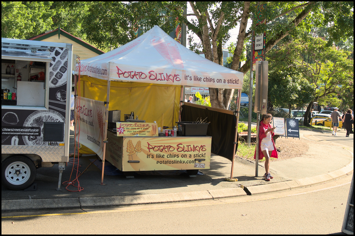
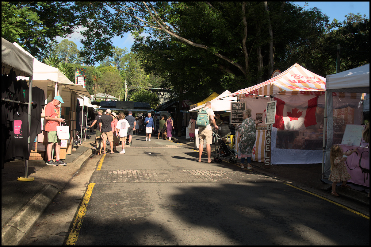
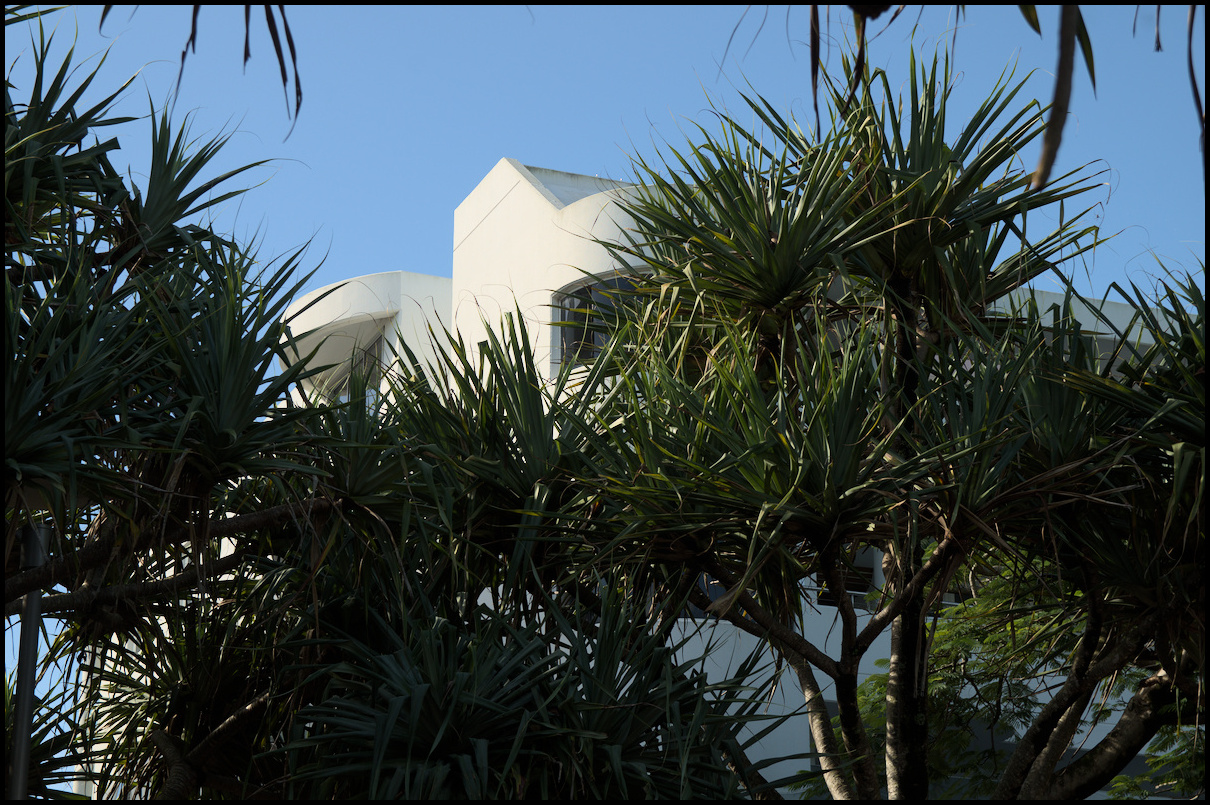
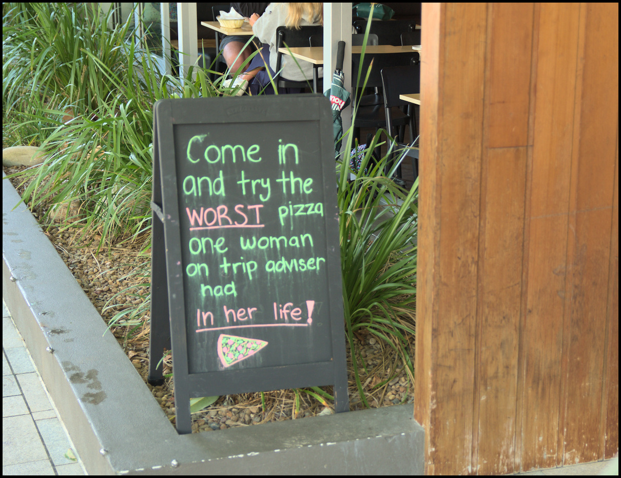
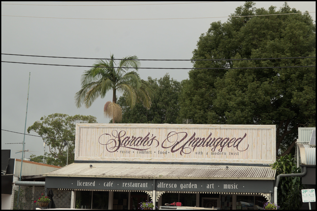
Day 14 was a trip to Mudgee in the morning, and a wander around Gulgong in the afternoon.
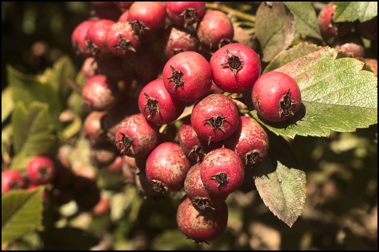
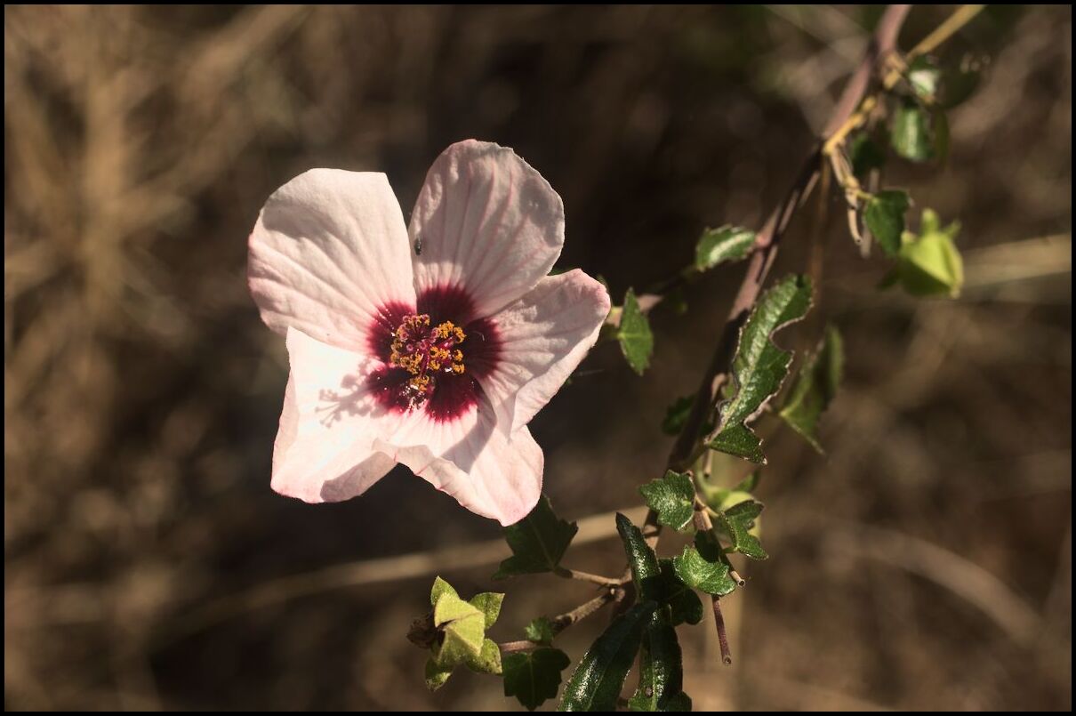
Mudgee
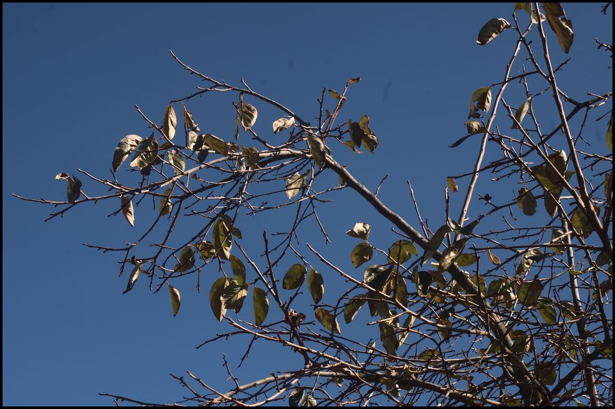
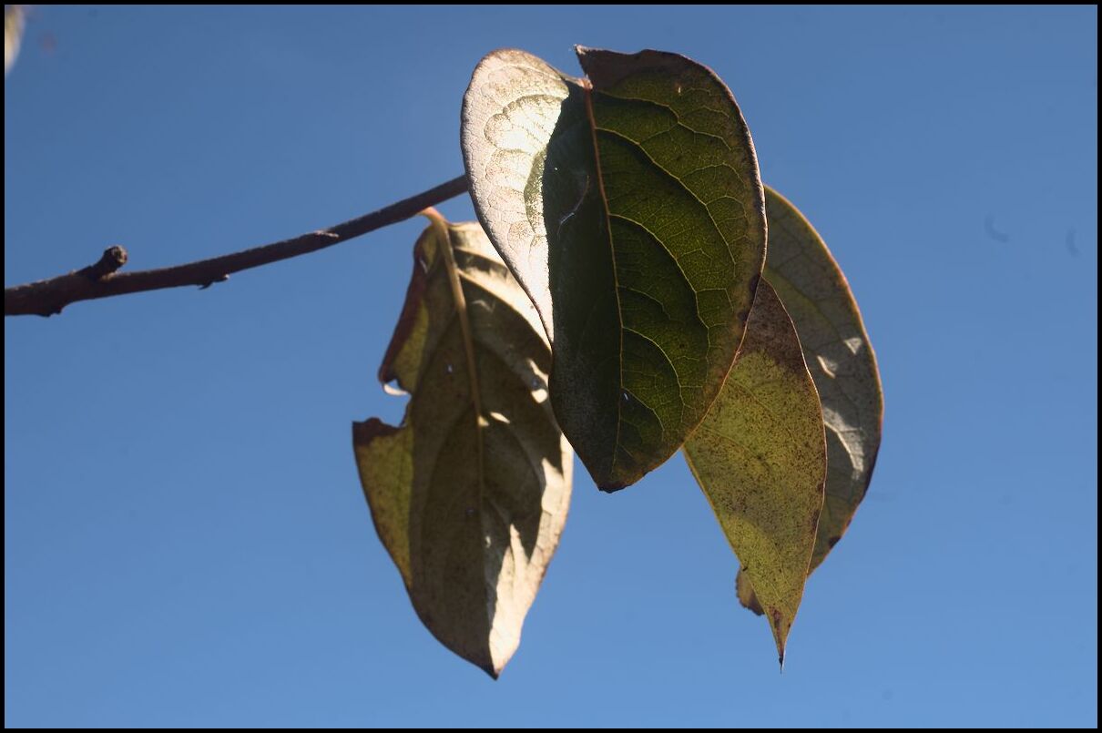
Gulgong
Last day of photos from our holiday. The next day (day 15) was simply travel home.
Day 14 was a trip to Mudgee in the morning, and a wander around Gulgong in the afternoon.
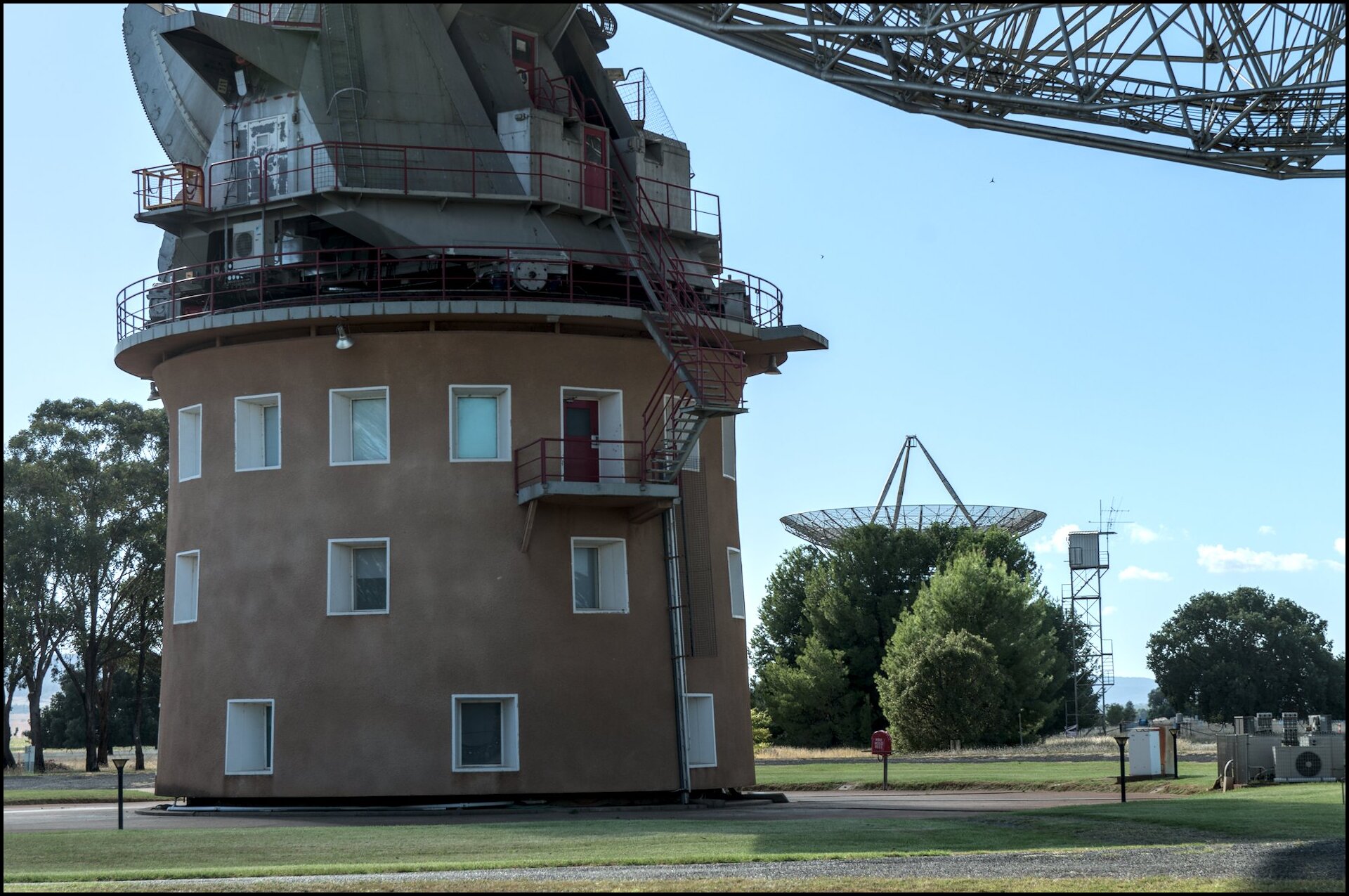
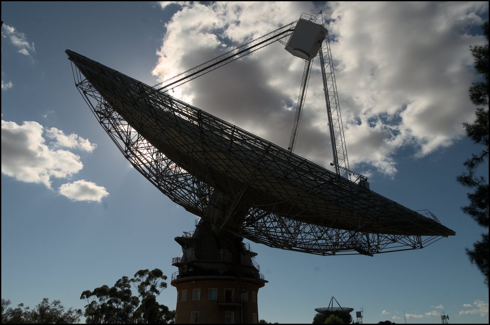
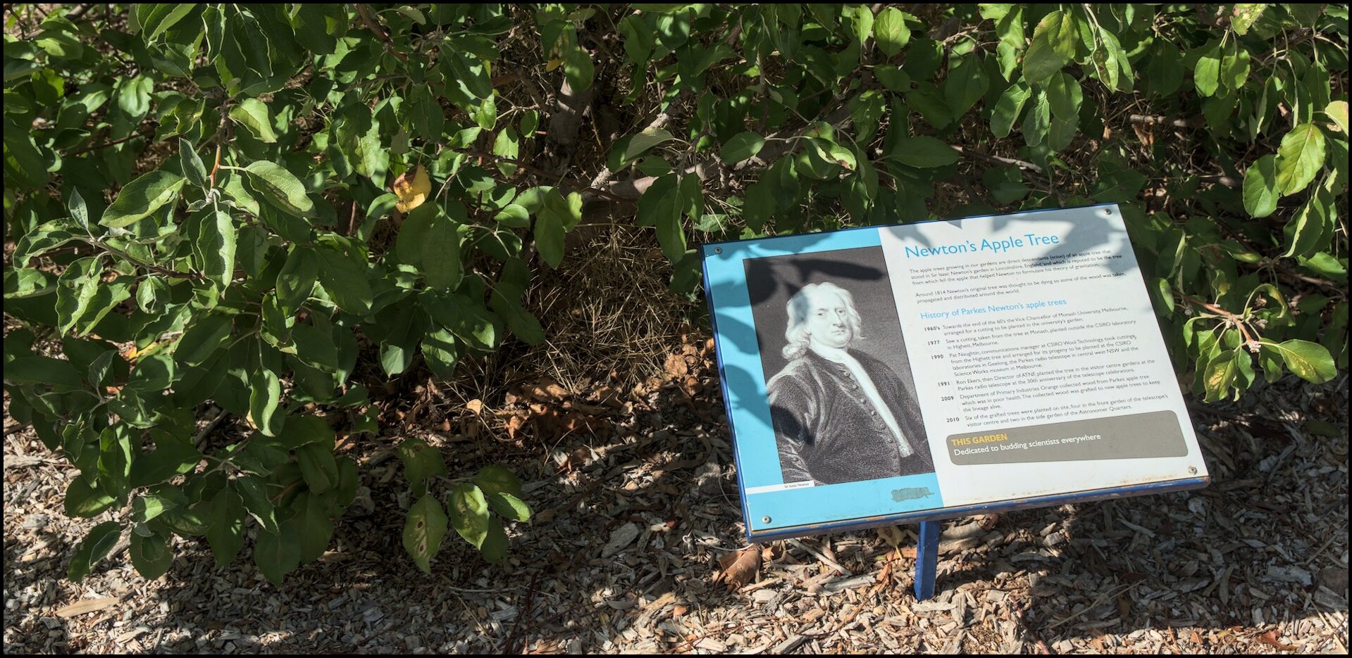
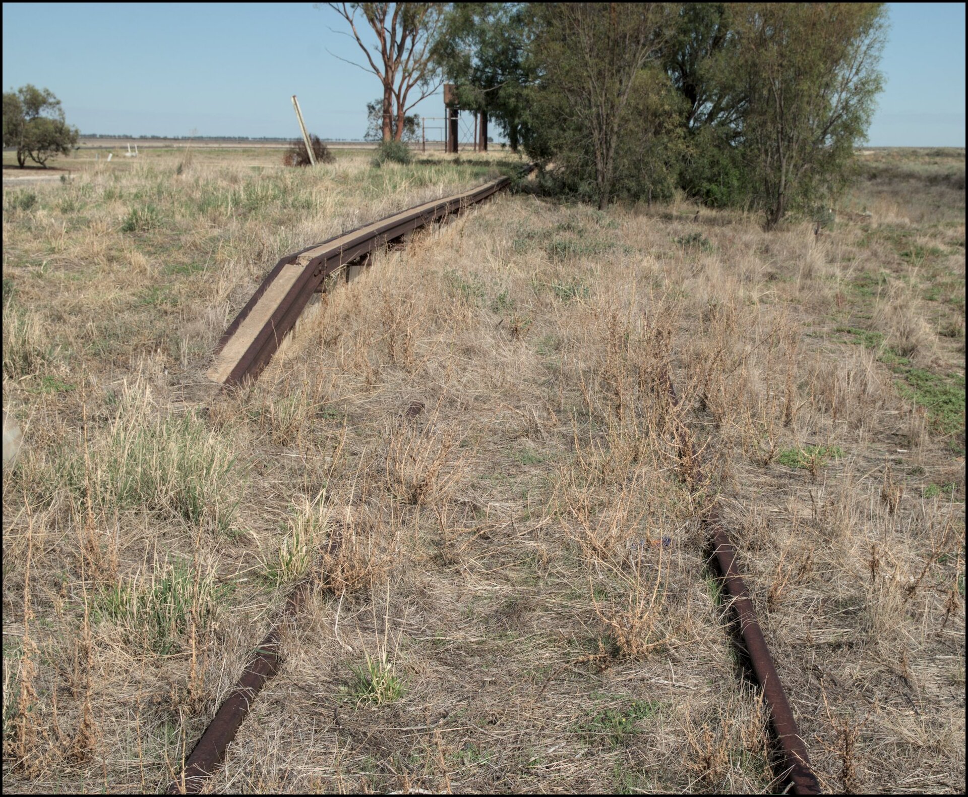
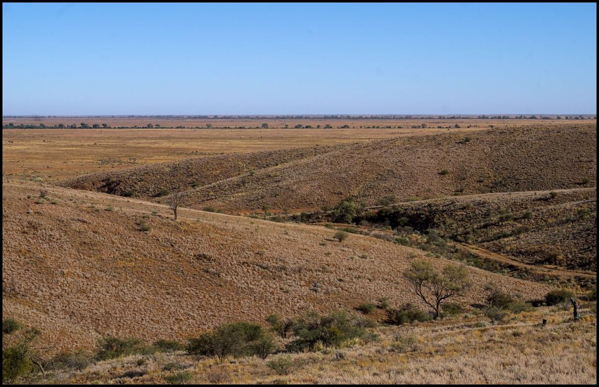
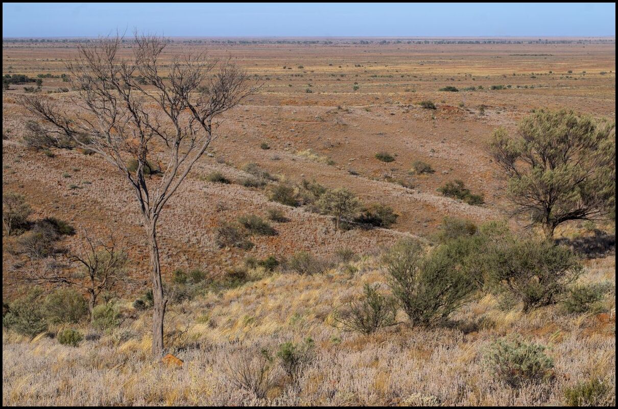
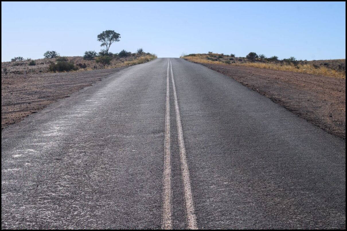
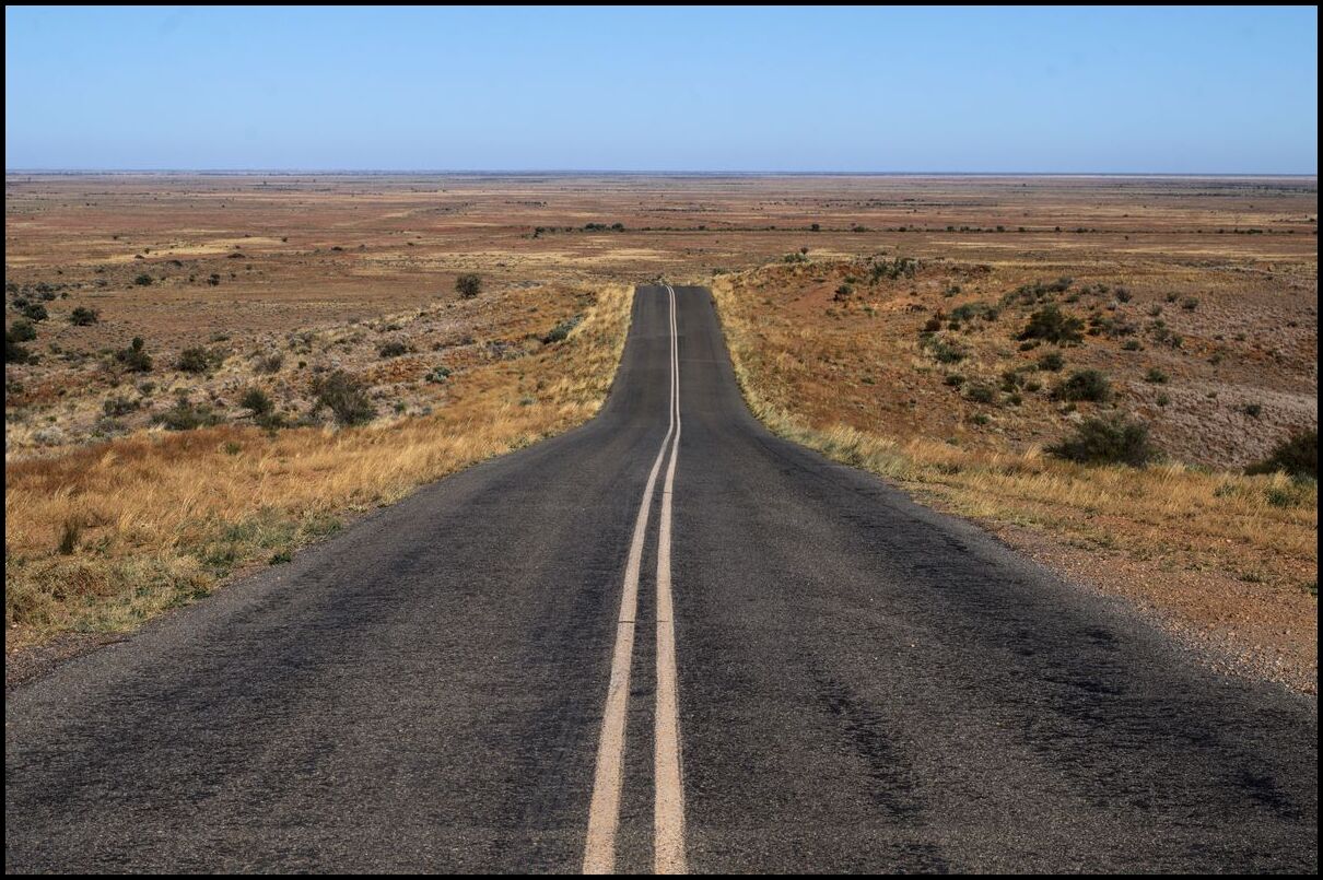
Day 13 was a travel day - from Forbes to Gulgong via Yeoval and Wellington. The primary stop along the way was to ‘The Dish’, aka CSIRO Parkes Radio Telescope Observatory.
Three photos of the dish. The last photo shows some apple trees on the site which were grafts taken from the apple tree in Isaac Newton’s yard.

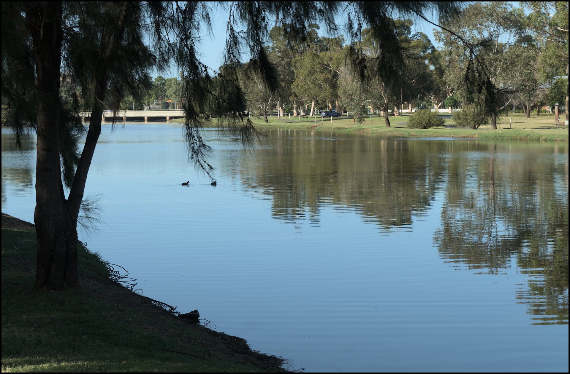
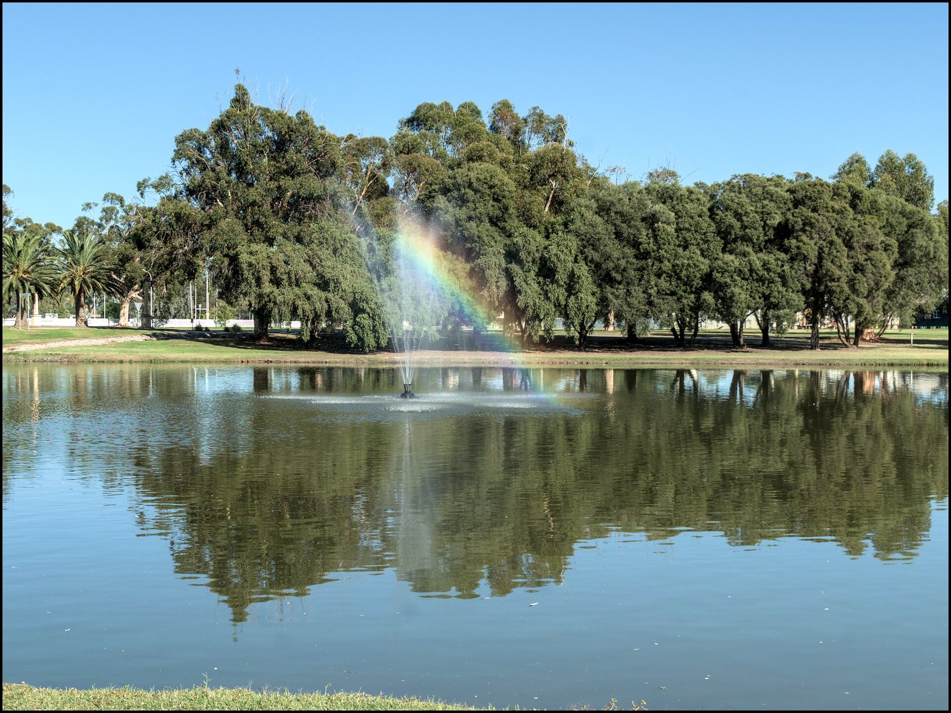
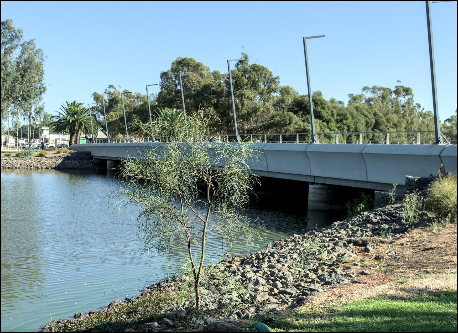
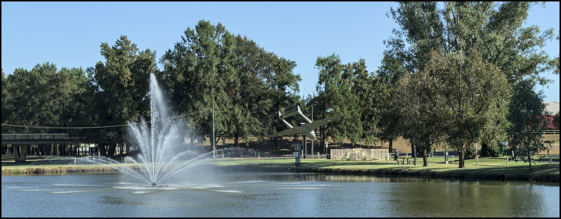
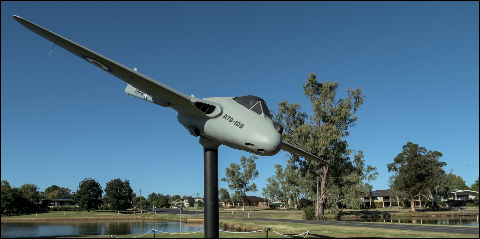
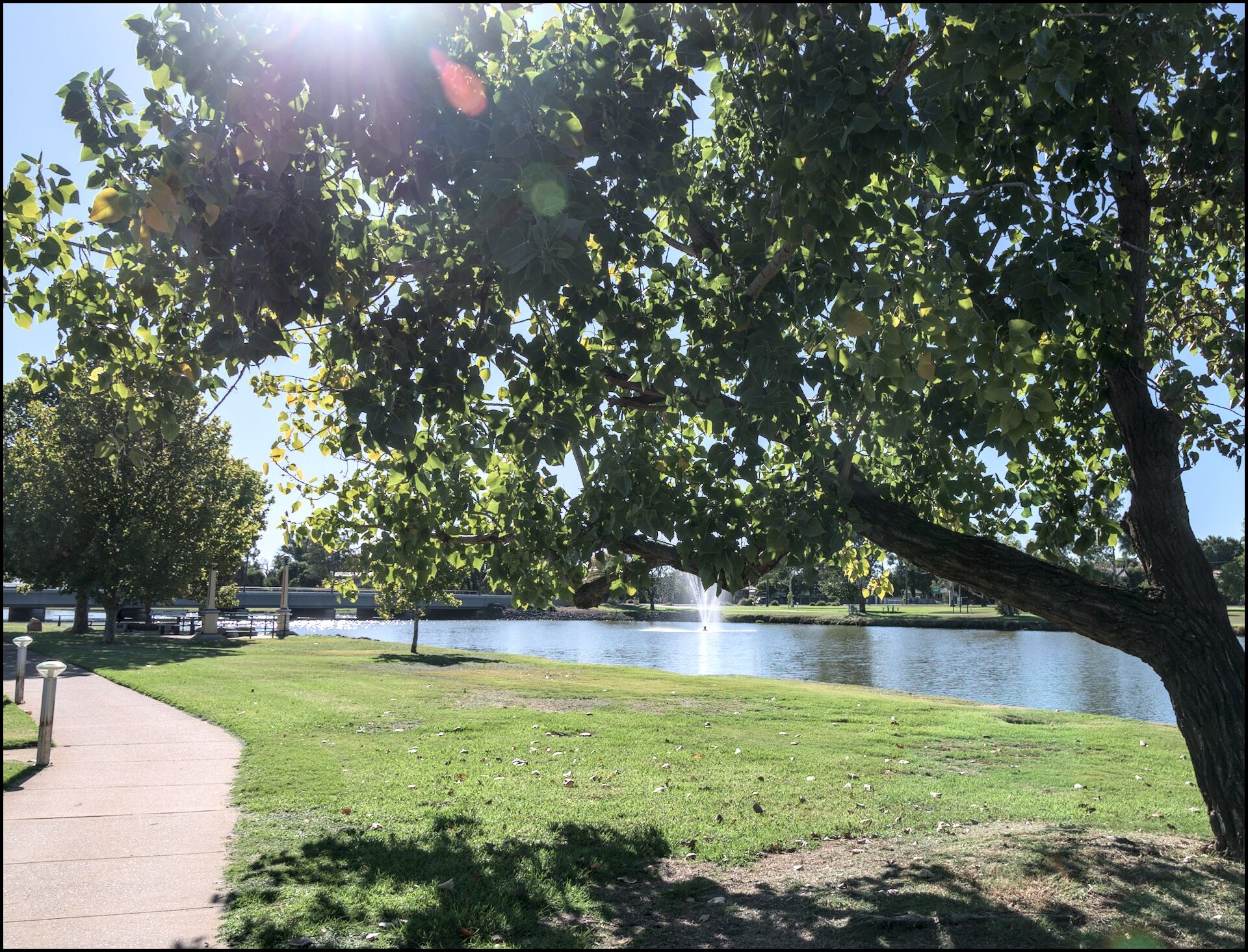
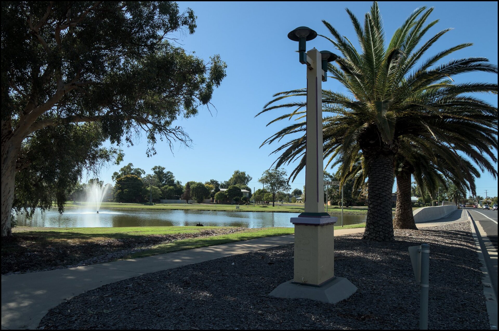
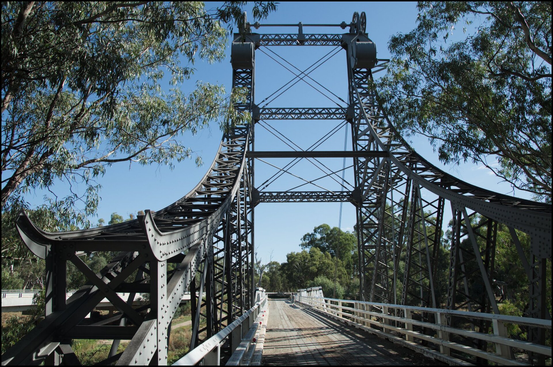
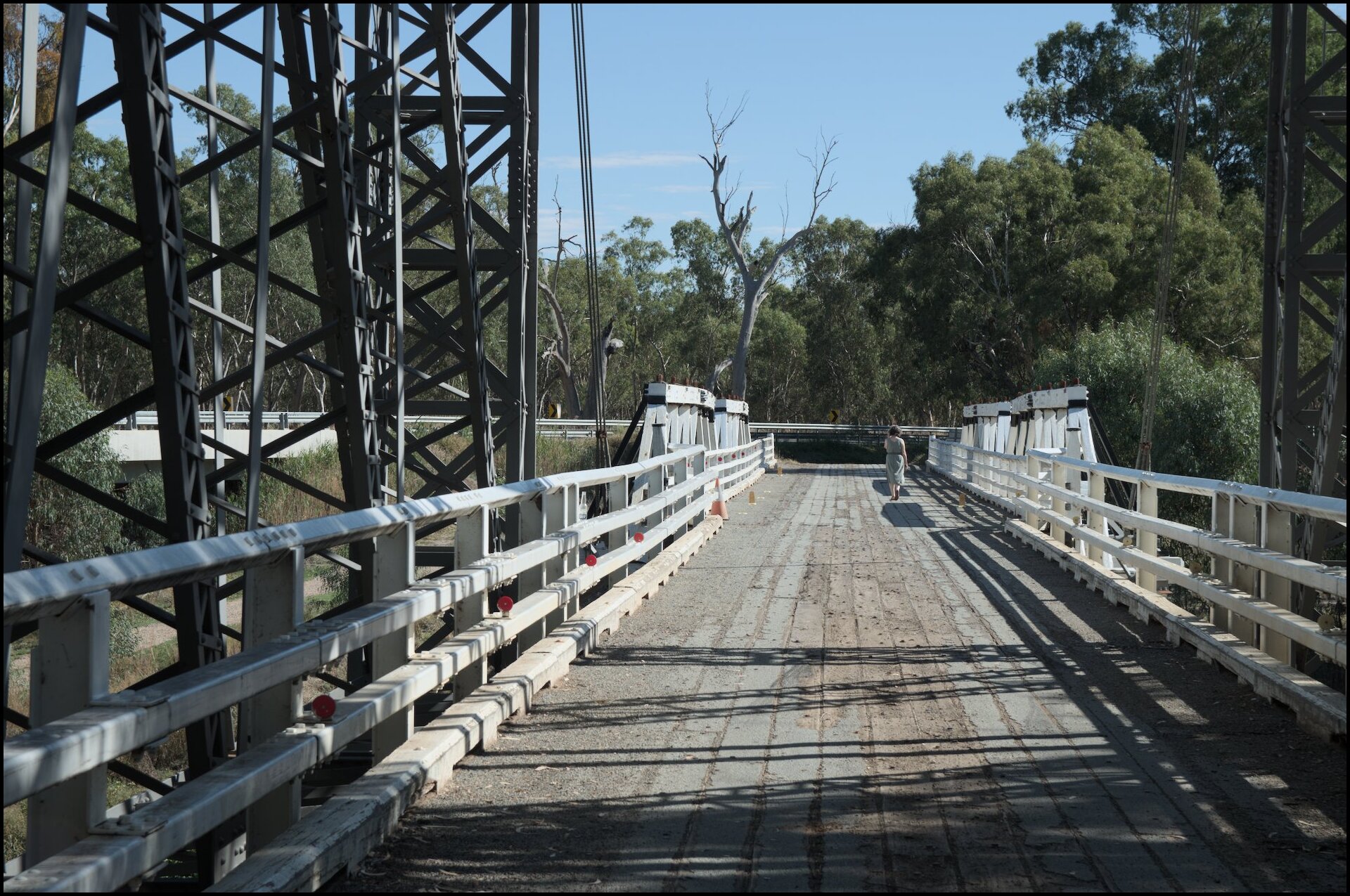
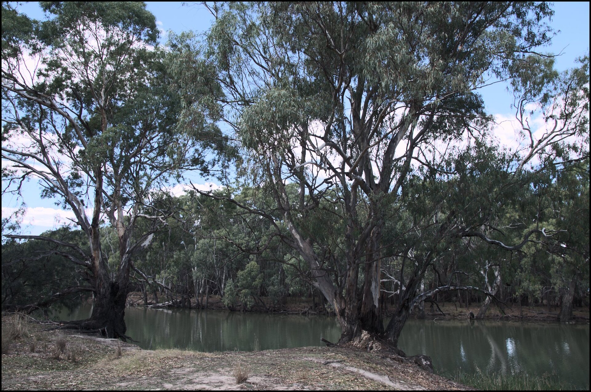
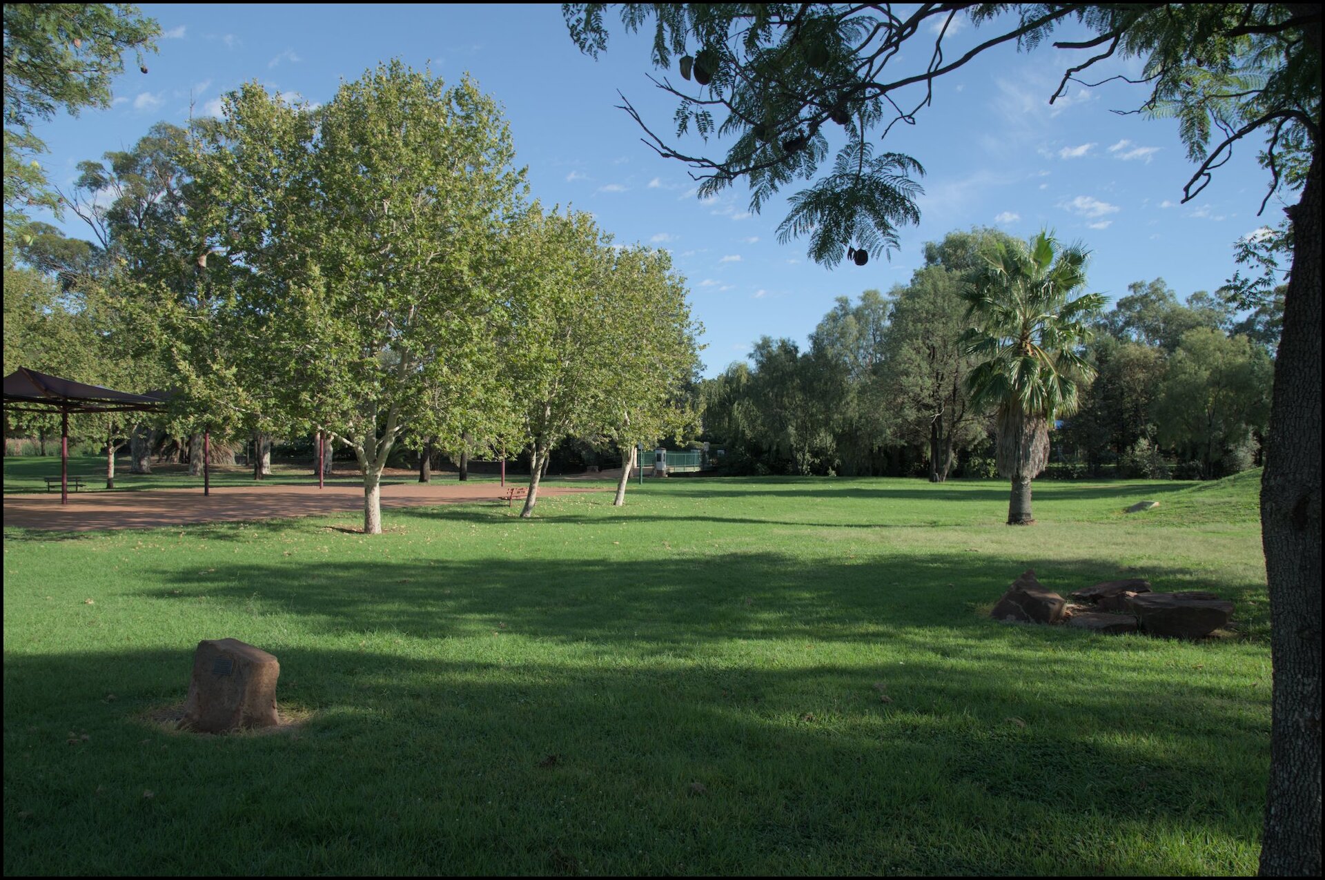
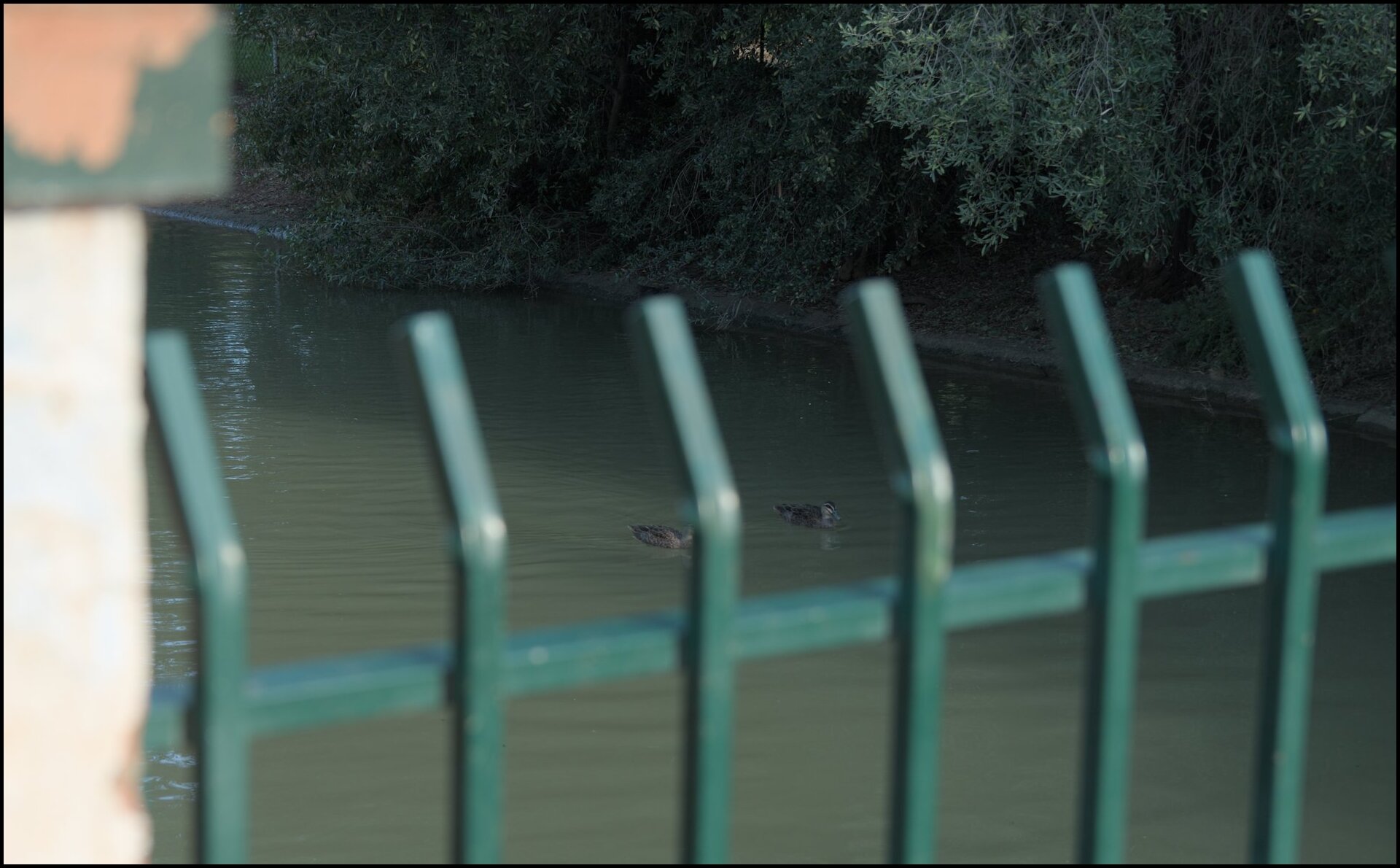
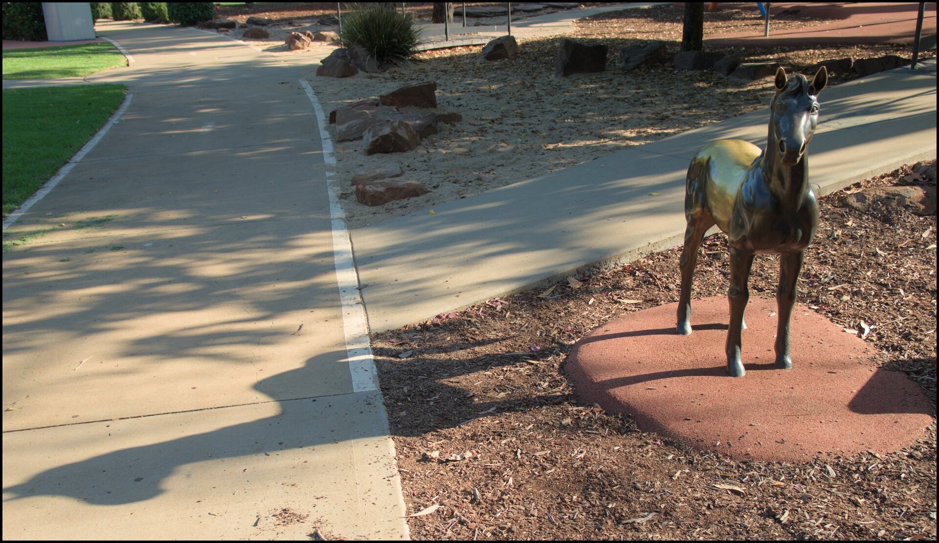
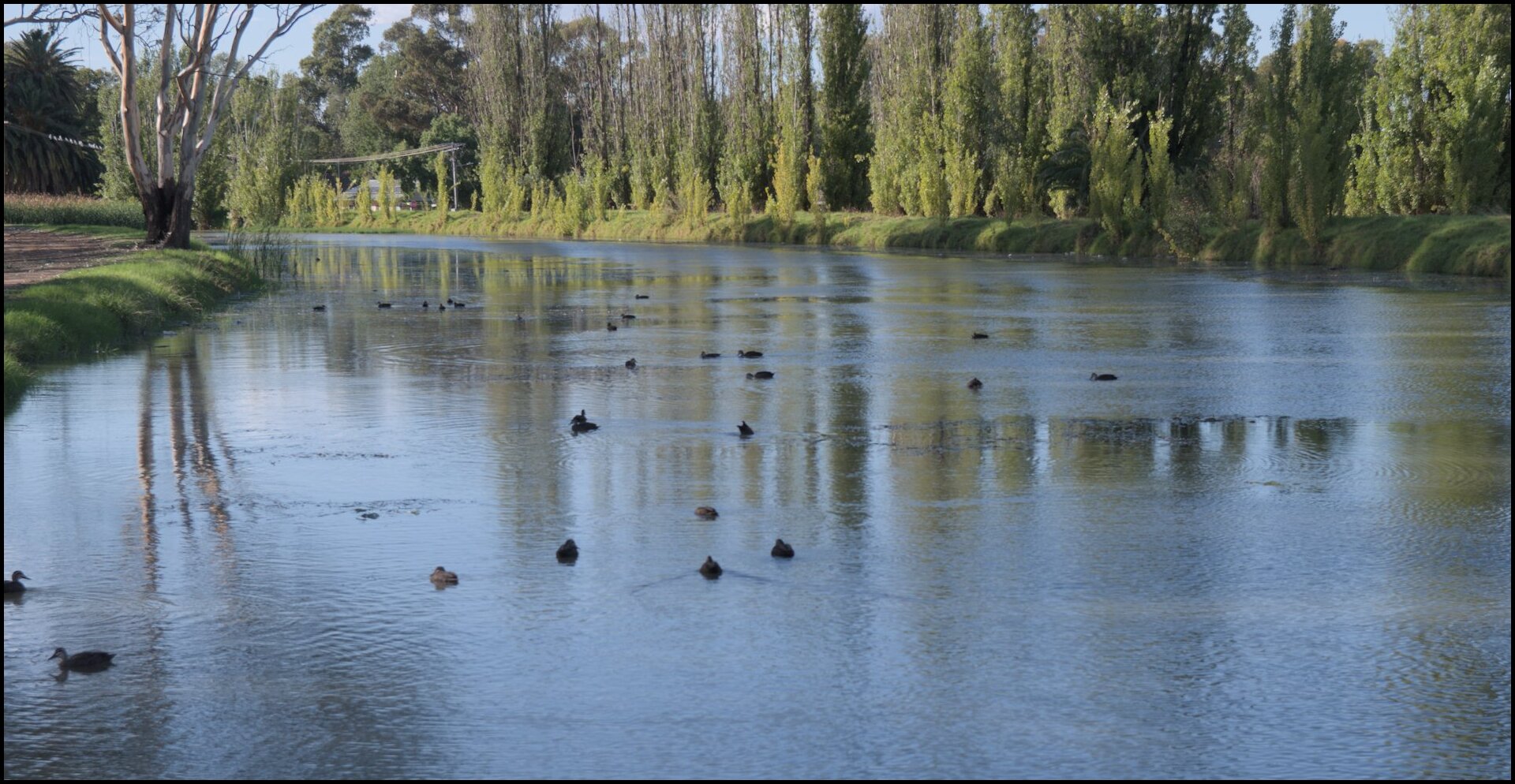
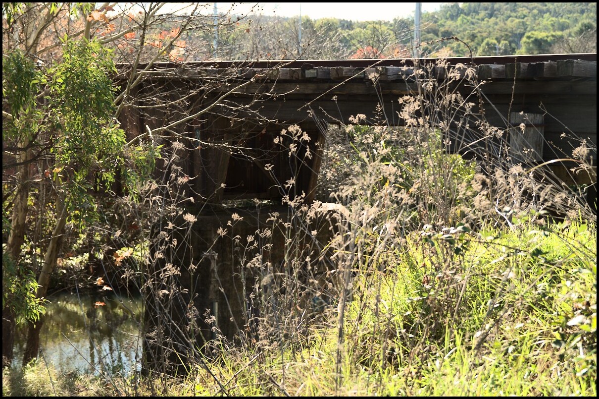
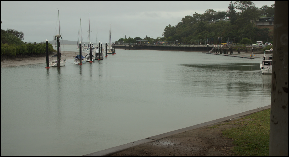
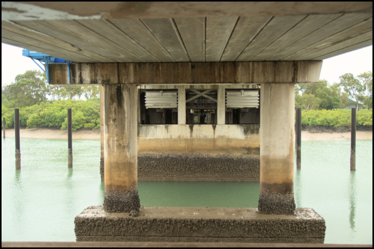
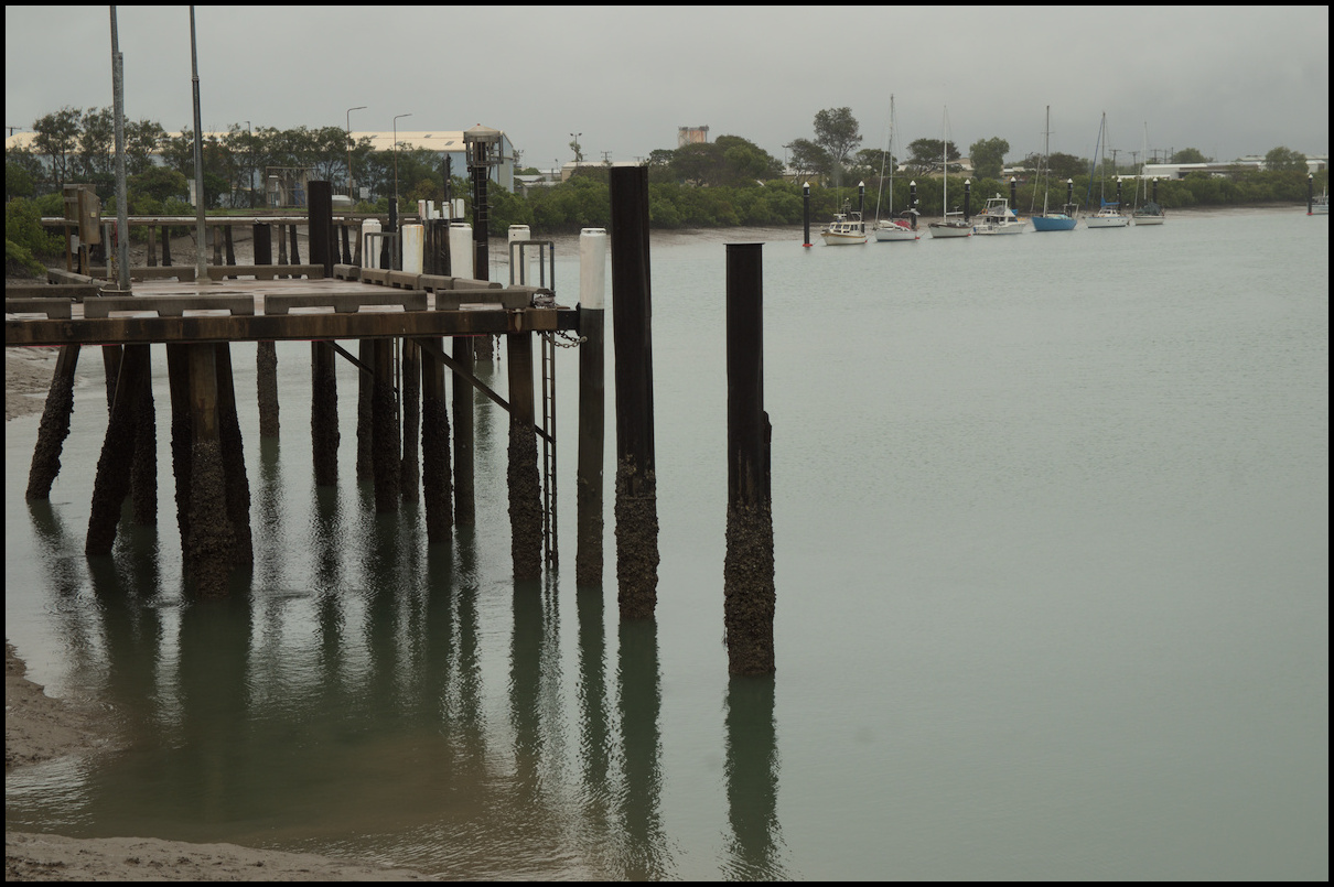
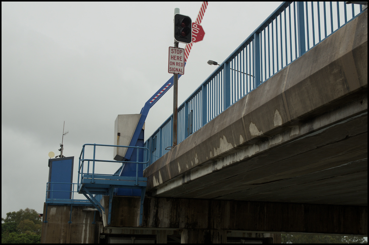
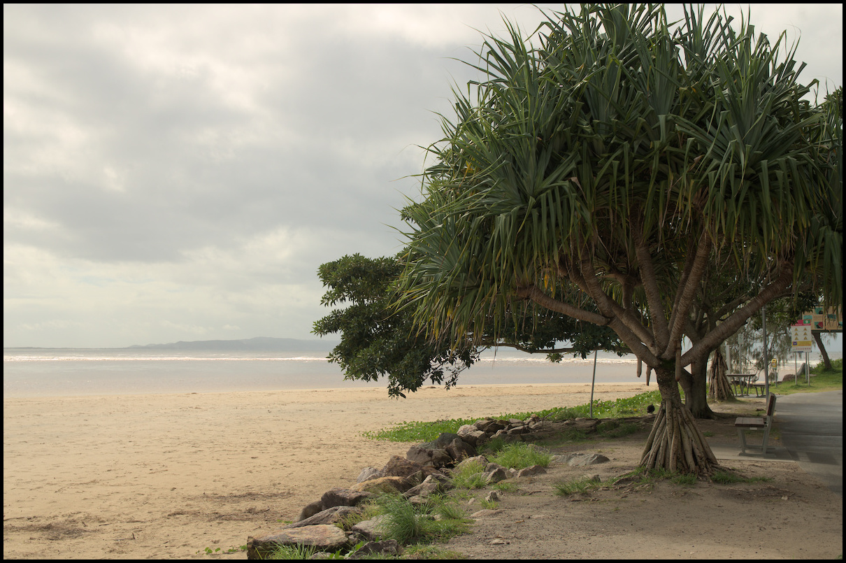
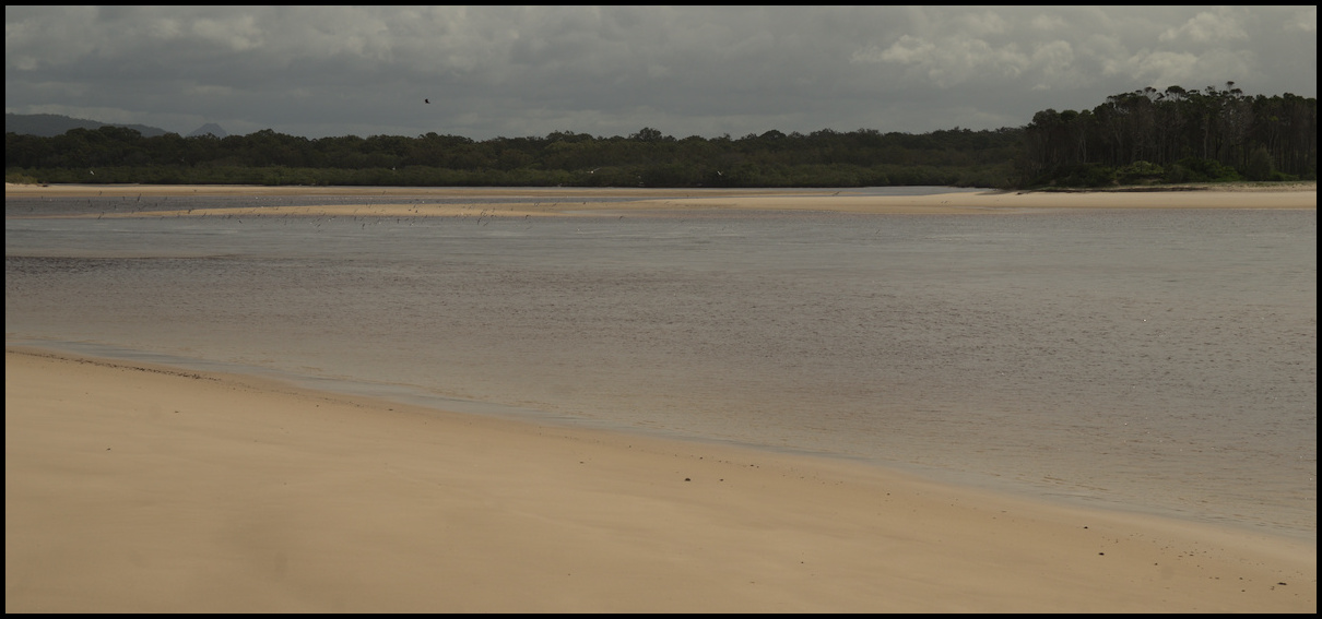
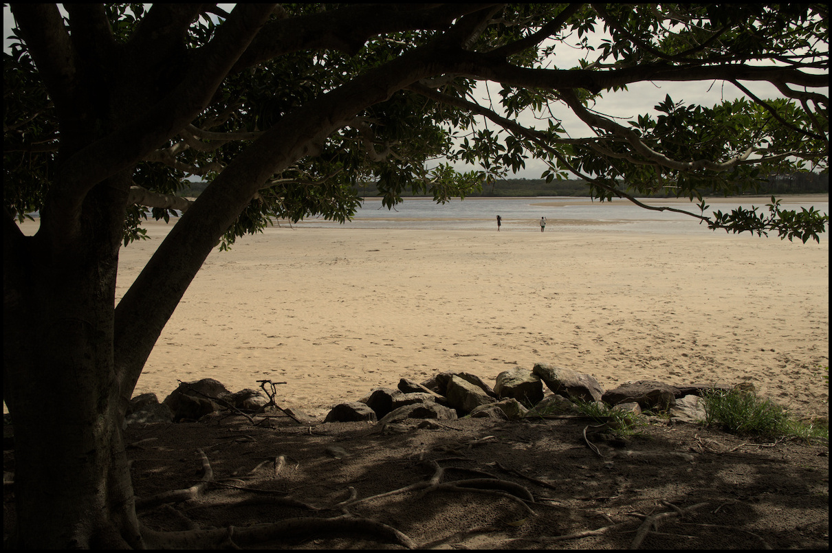
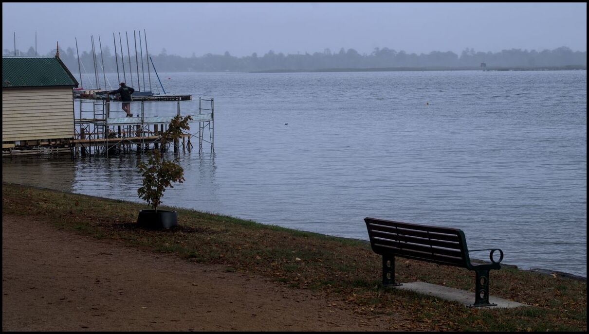
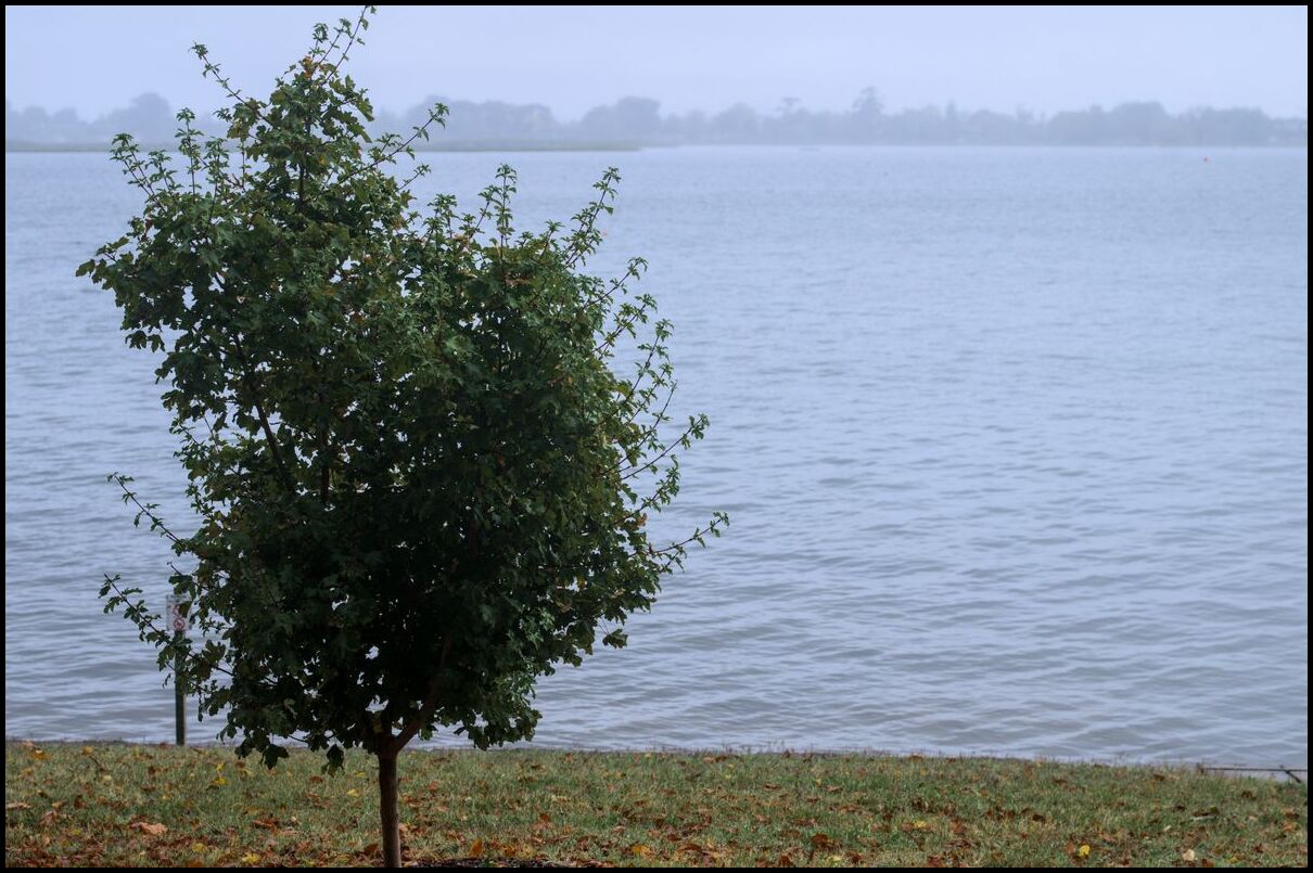
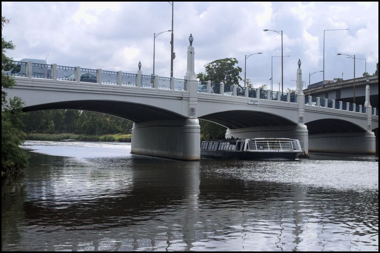
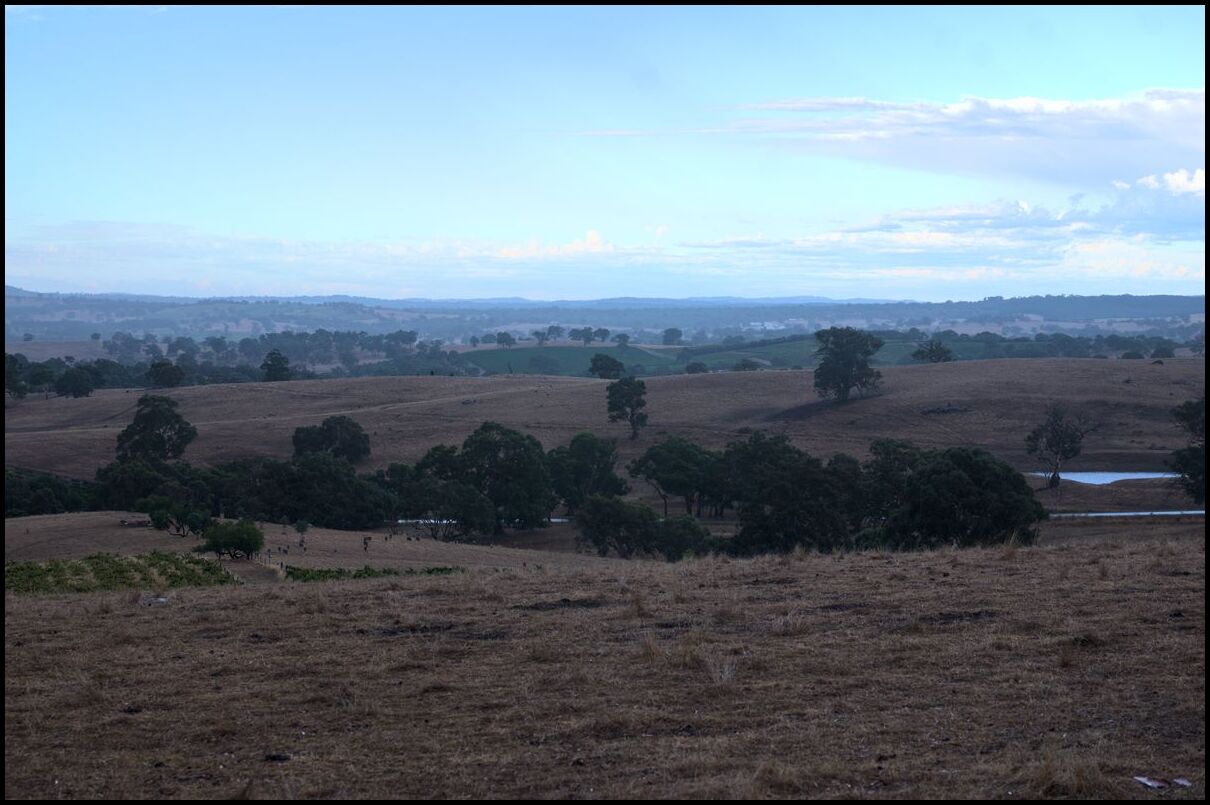
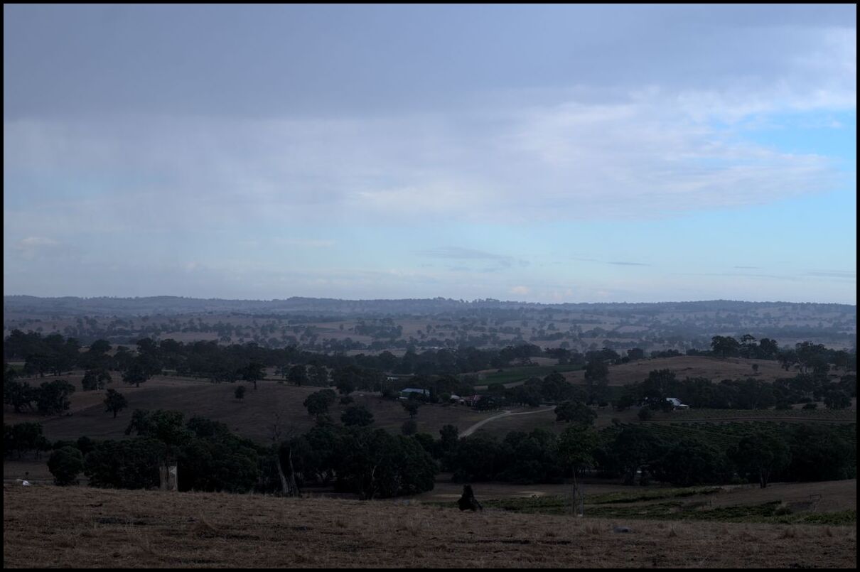
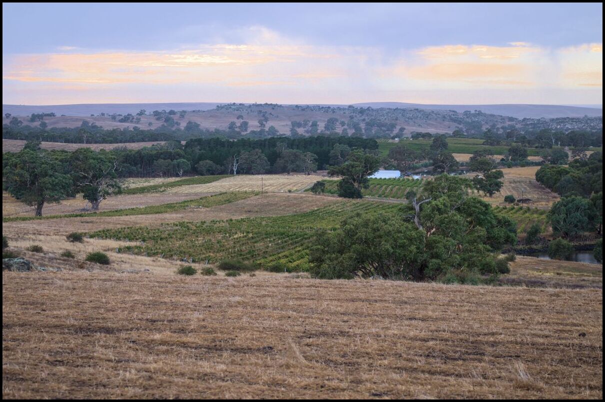
Today’s offerings were all taken around the Lake Forbes area near the centre of the town. If memory serves the lake was used as Forbes’ intermittent drinking water supply but it was turned into a recreational lake and park precinct1.
The lake has a number of pedestrian and vehicular bridges crossing it so you can pick and choose what length of walk to take.
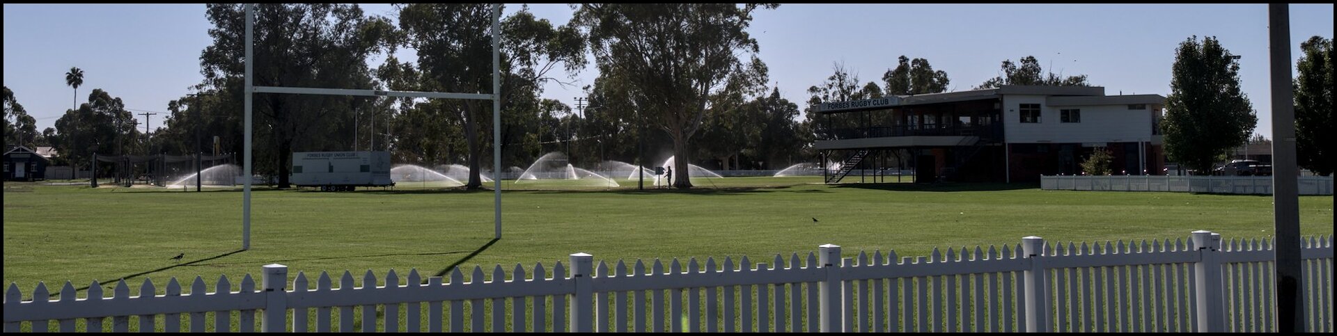
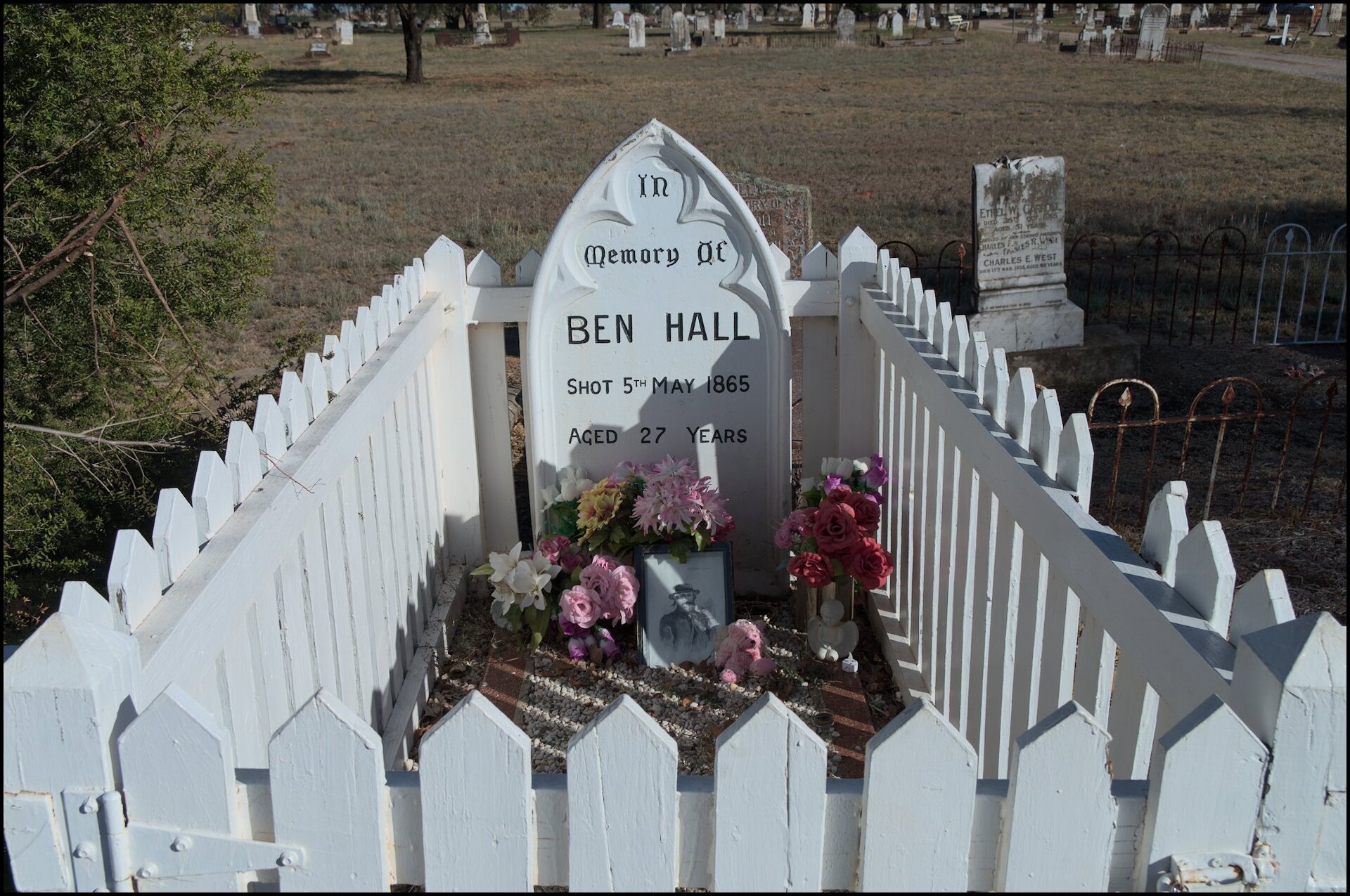
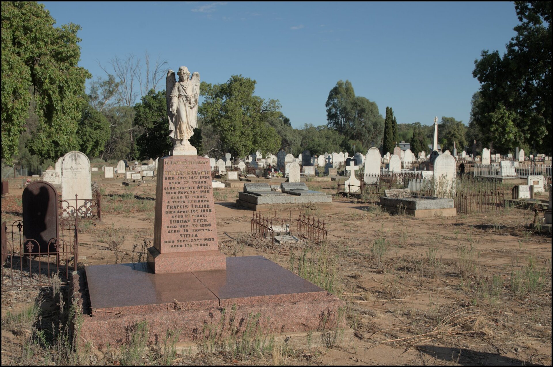
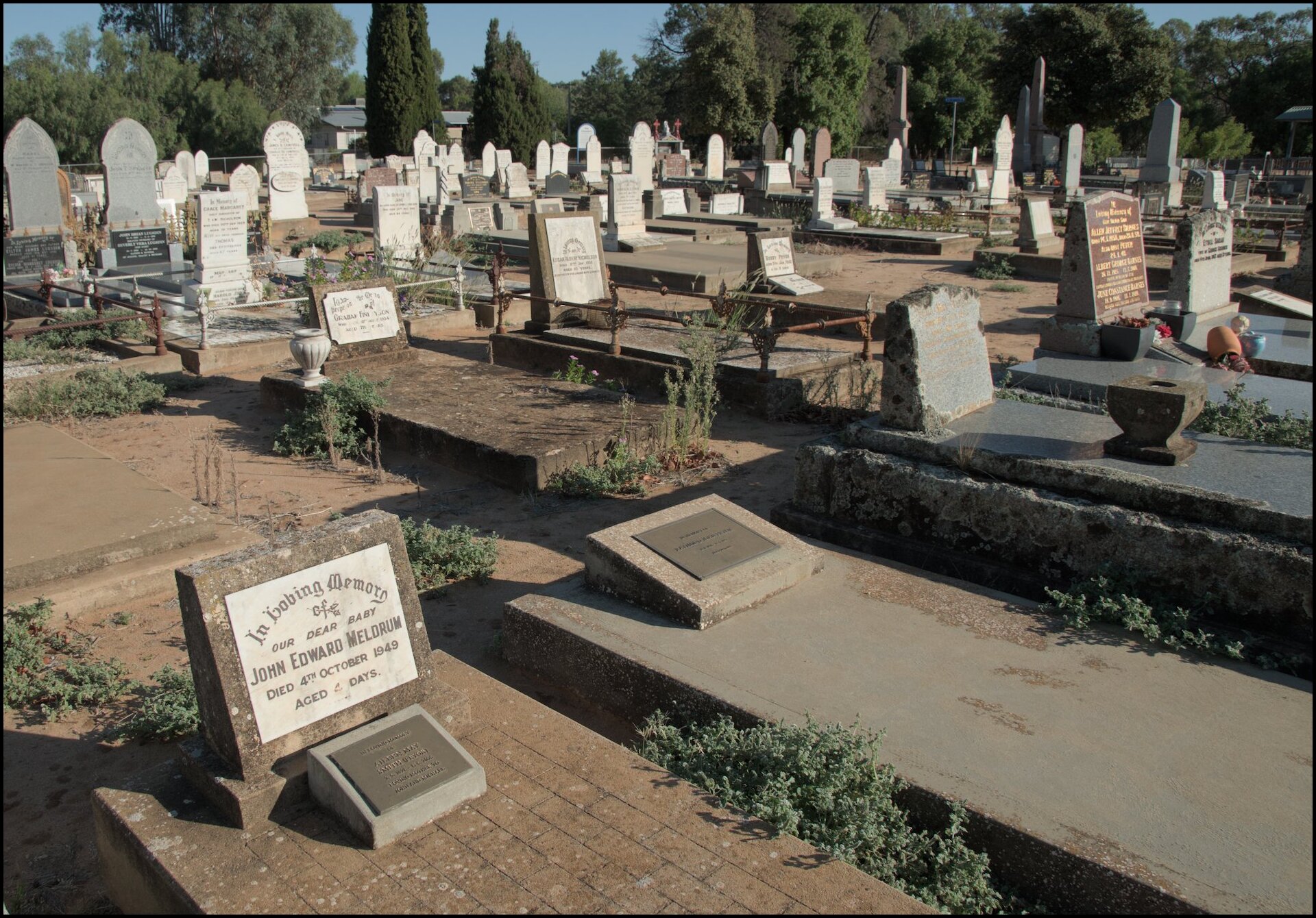
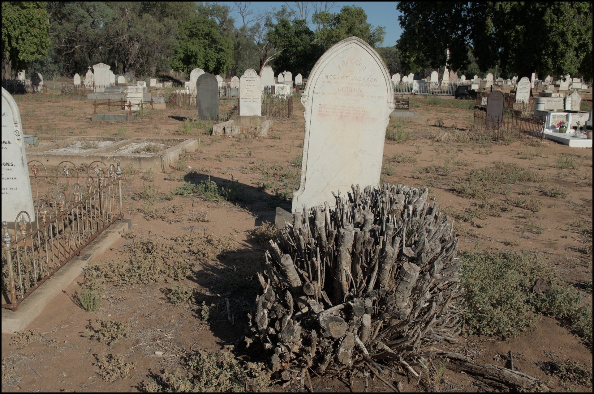
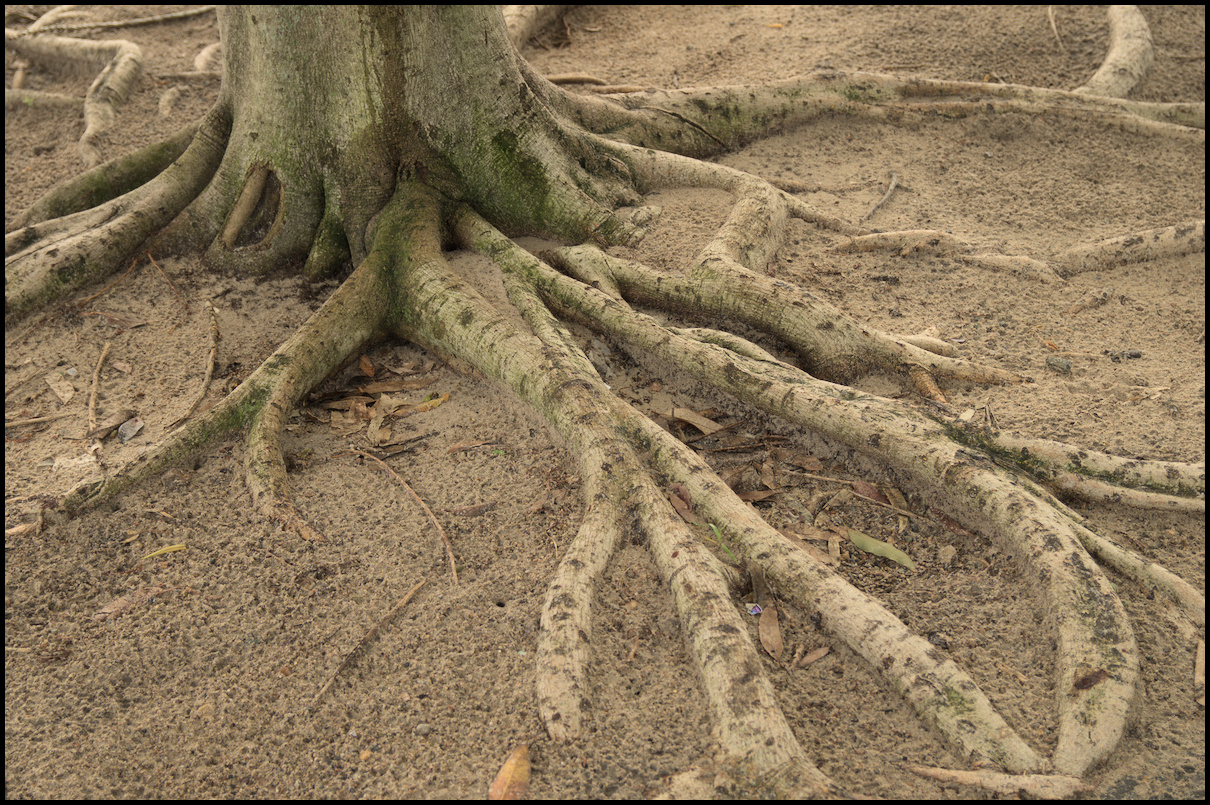
Day 11, Forbes. We began in the cemetery (as you do); spent some time walking around the very attractive city centre and Victoria Park. In the afternoon we headed out to Gum Swamp Wildlife Refuge where four bird watching hides have been built.
Again, photos with limited commentary.
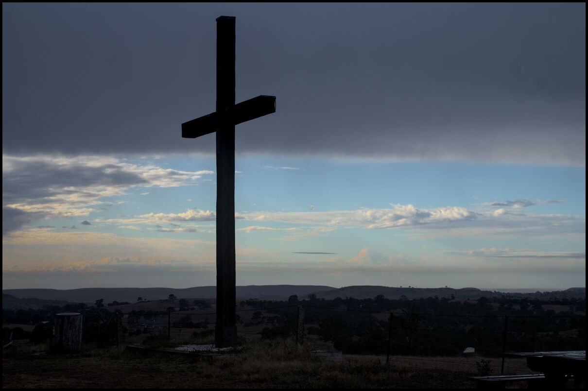
Ned Kelly's sister
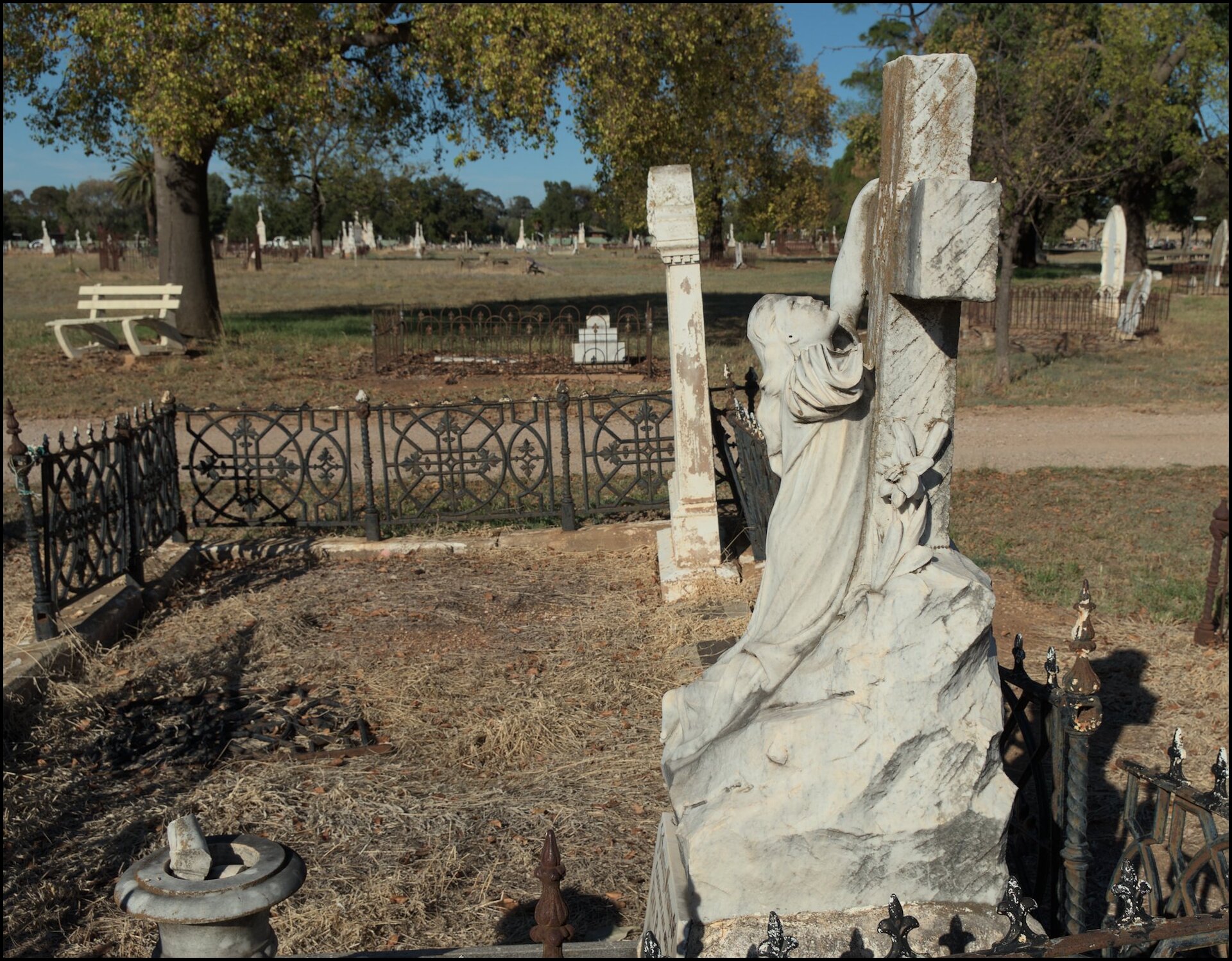
Clinging to the cross

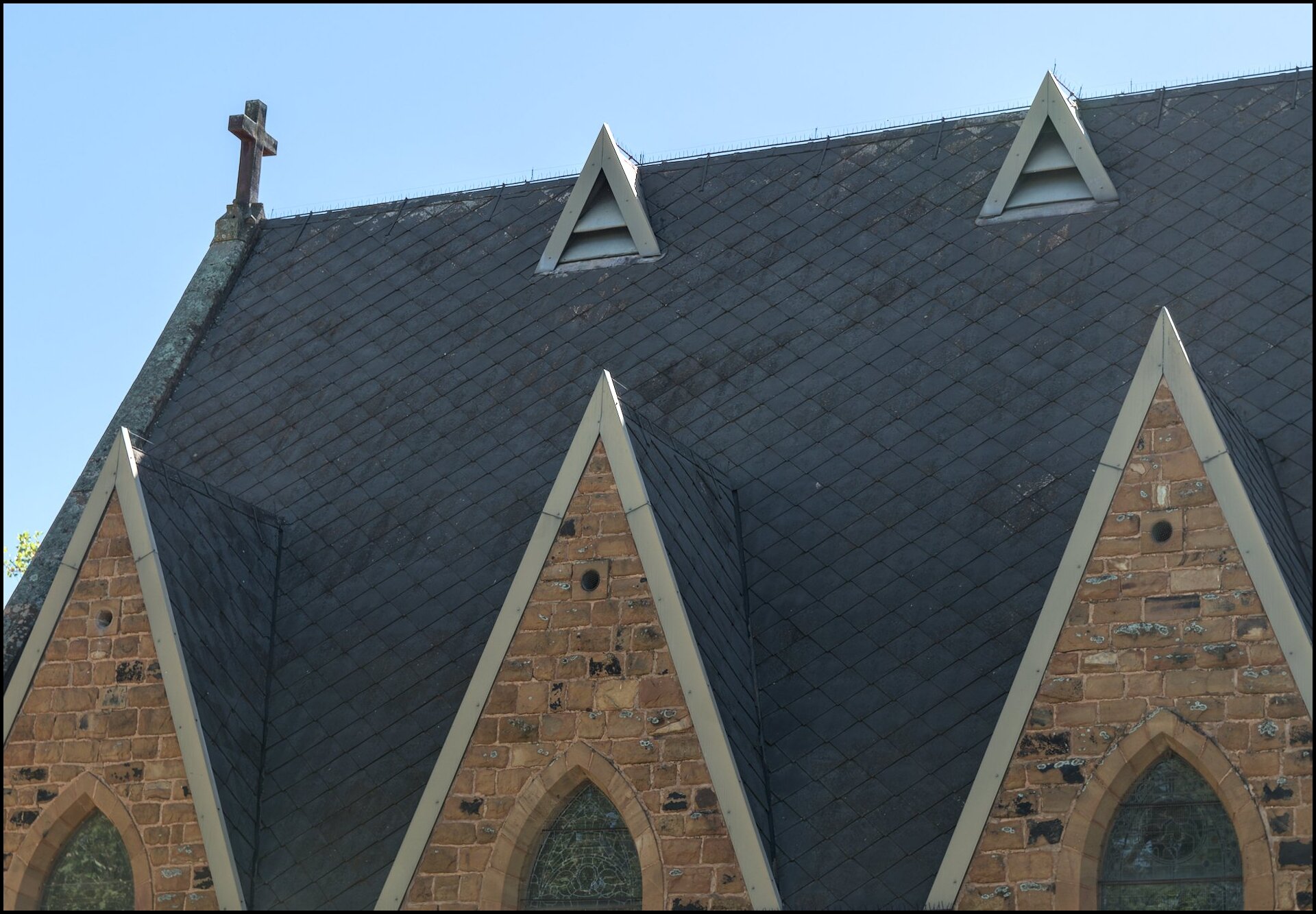
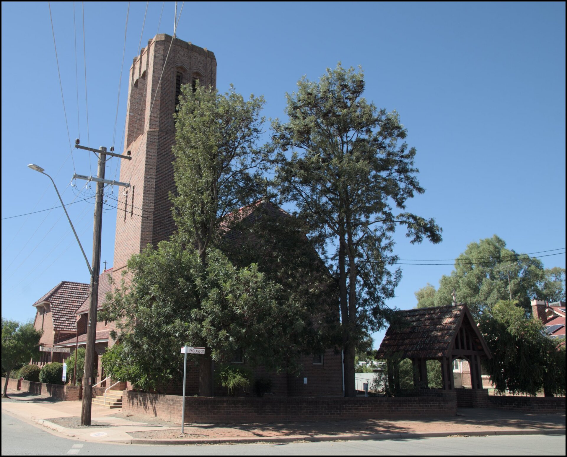
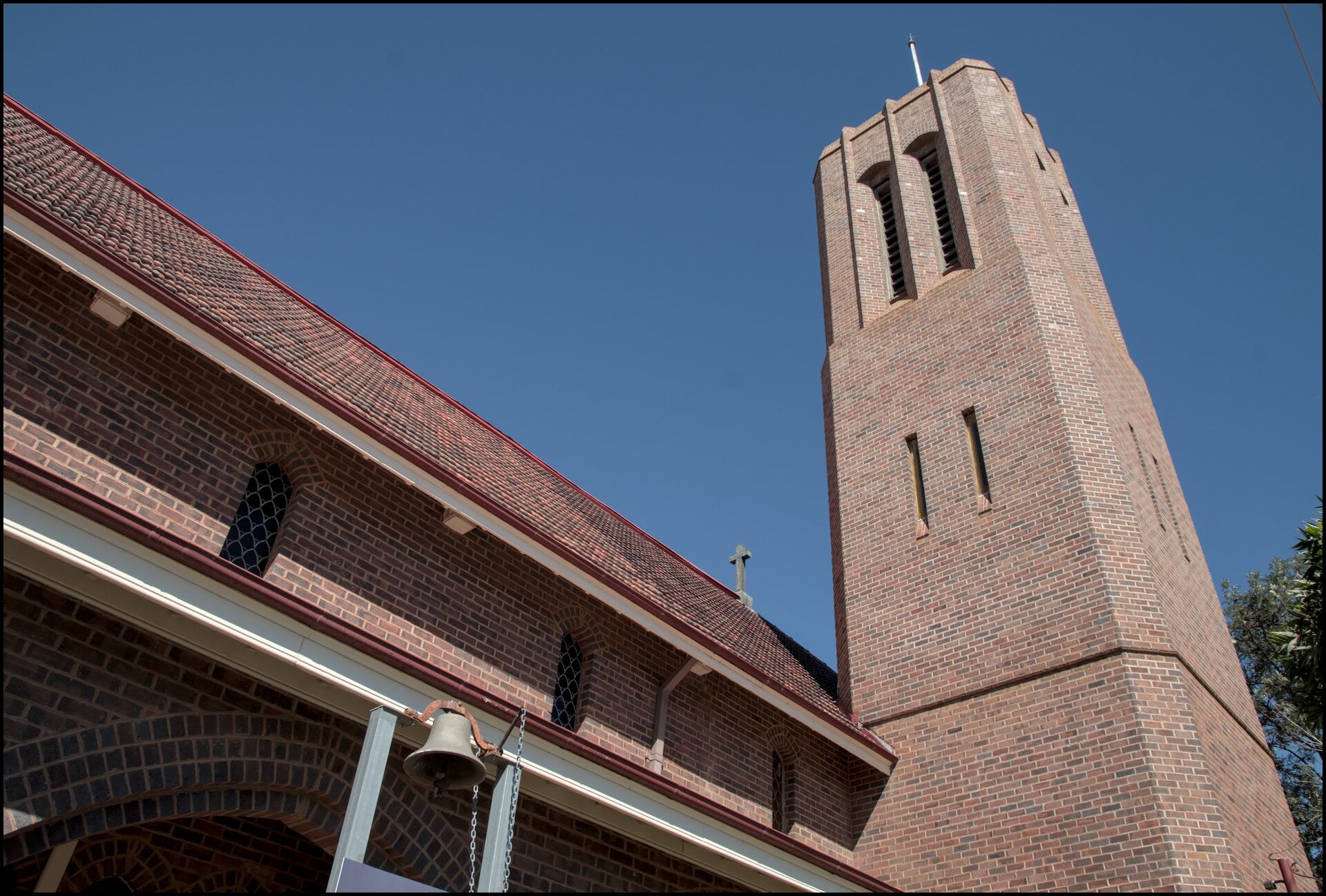
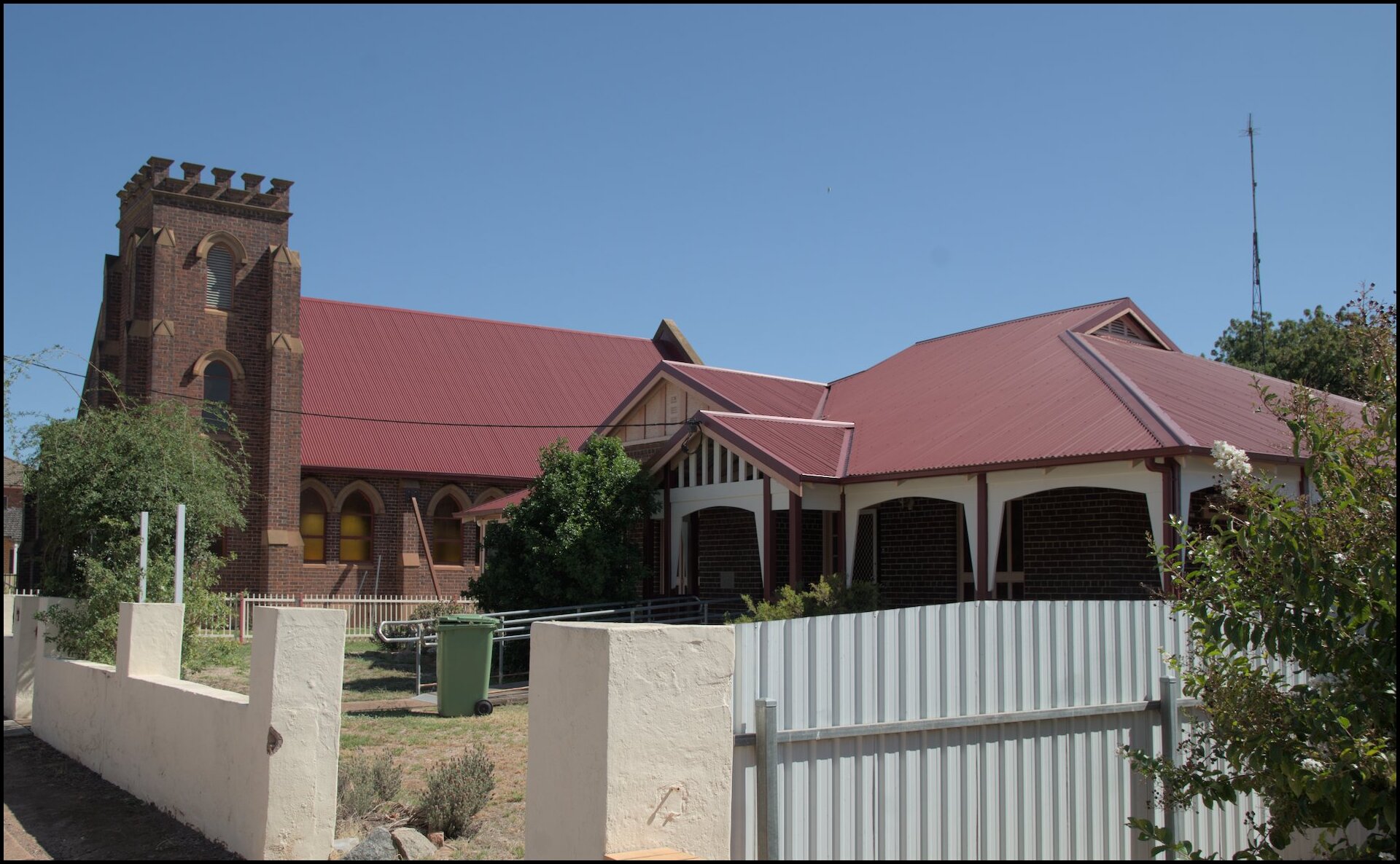
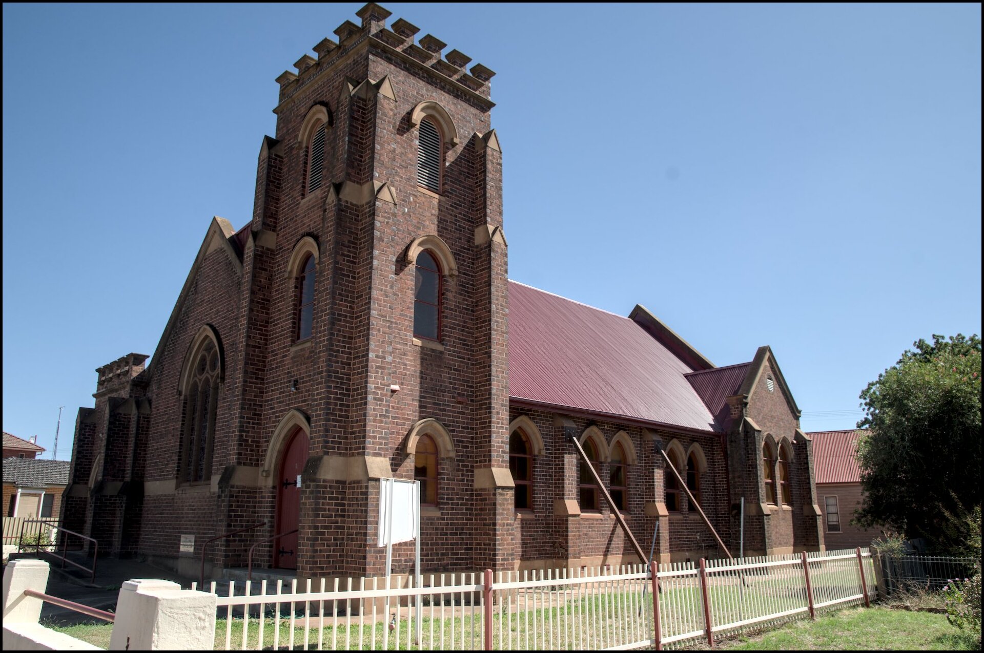
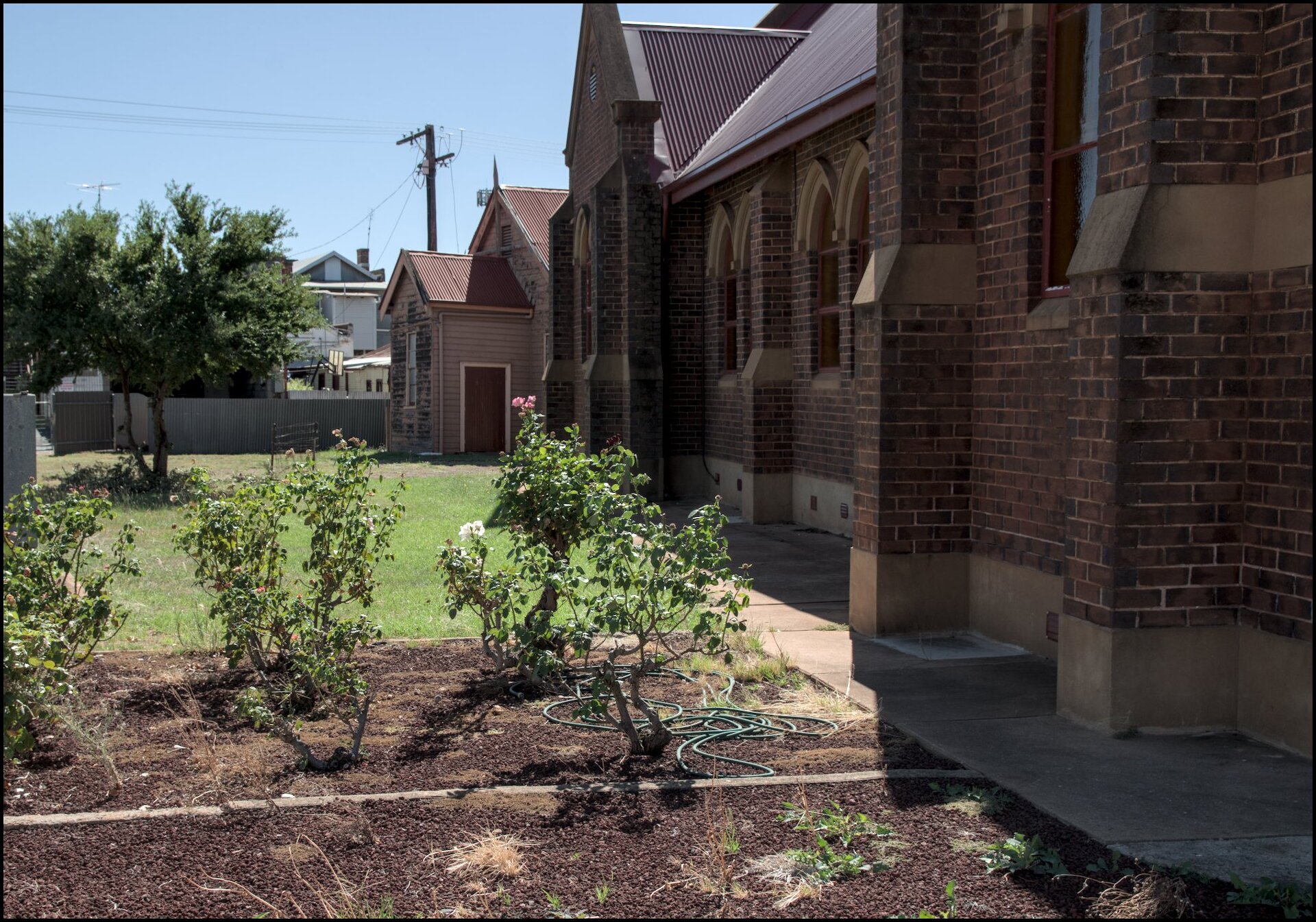
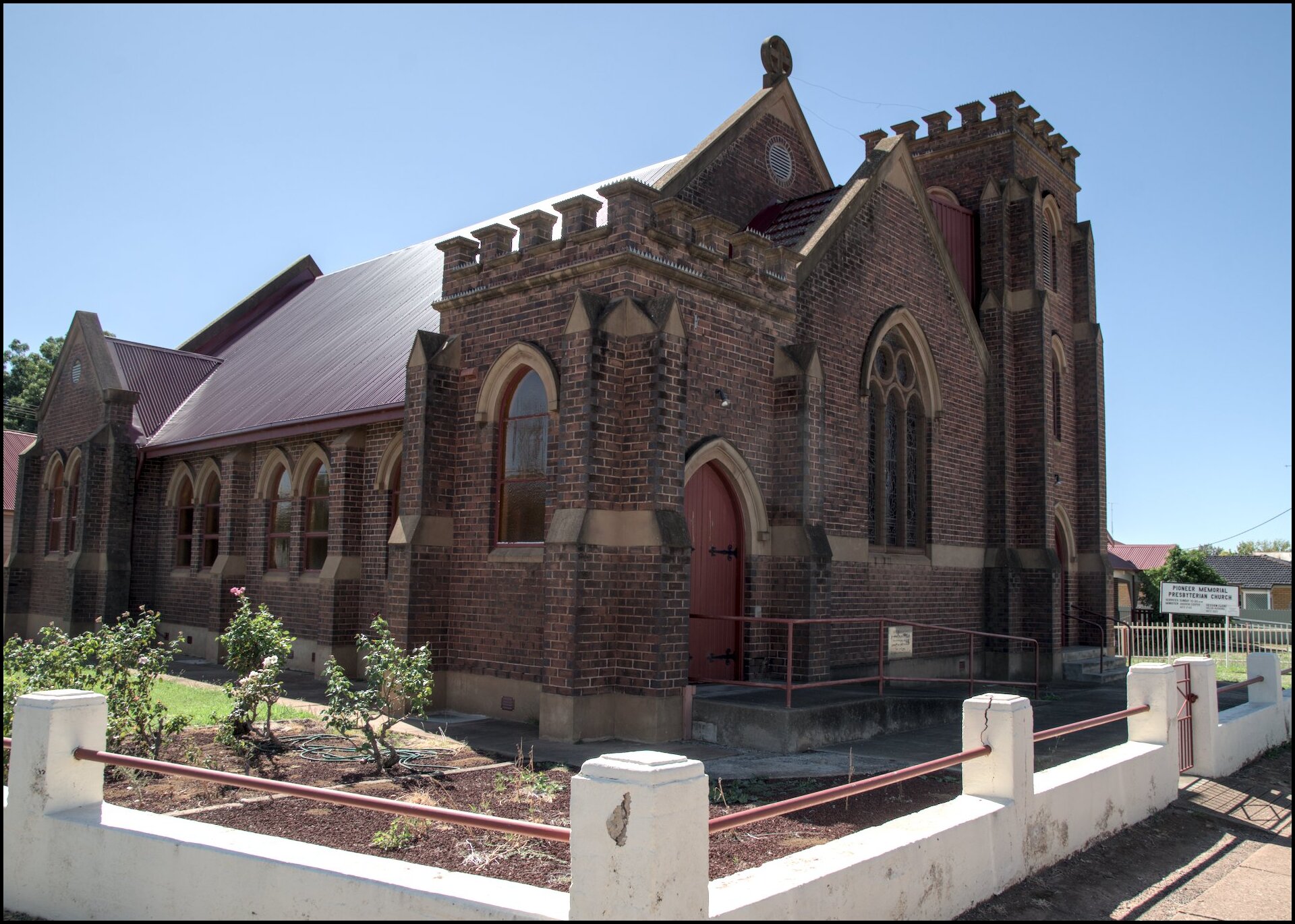
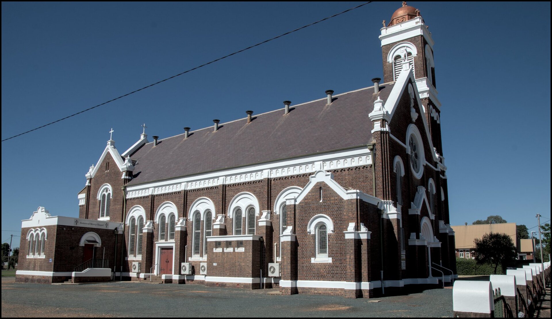
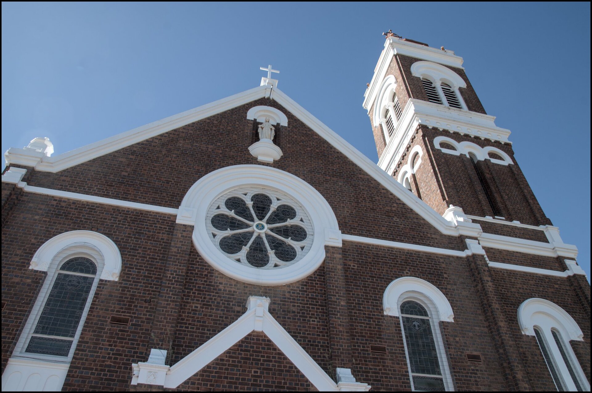
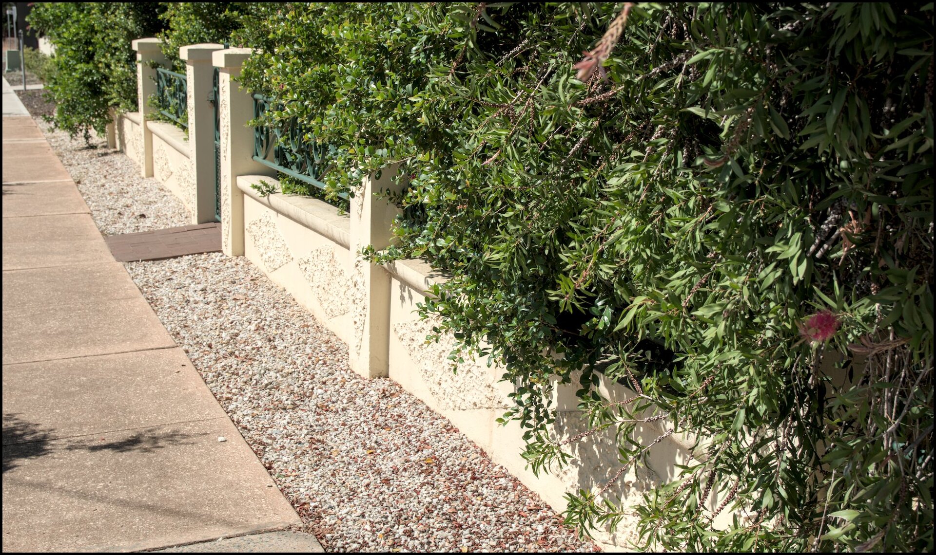
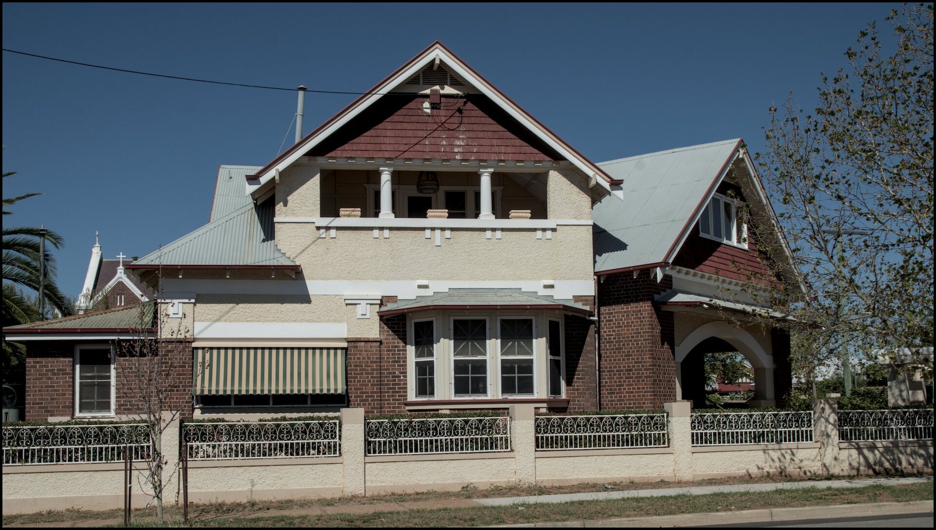
Day 10 was spent travelling from Hay to Forbes via West Wyalong. We had lunch in West Wyalong then spent a bit of time wandering around a couple of streets that housed some fairly impressive church buildings - Anglican, Presbyterian and Catholic. The last couple of photos are of a house and different fence/garden along the way.

Day 9 was also spent in and around Hay. We began at the gaol which also served as a girls home during part of its history (with the cells called ‘camps’)! It has now been turned into a museum with various collections of household items from decades past. Then on to the Dunera Museum at the former railway station which tells of the internment camps around Hay during WWII. The men/boys arrived in Australia on the ship Dunera and maintained their culture and education. They formed an orchestra and also created their own currency. After lunch we wandered over to the water towers and walked across the river (and back).
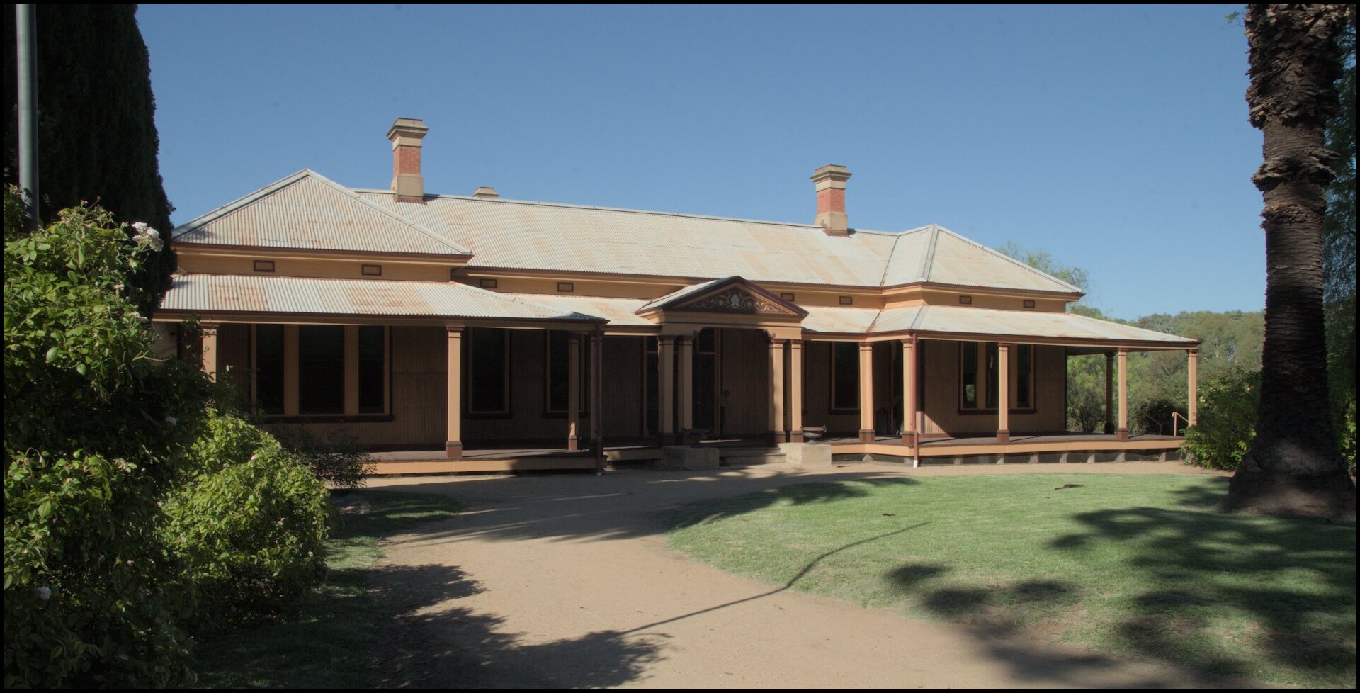
Day 8 was spent in and around Hay. Our travels began in the cemetery, then on to Bishop’s Lodge House, a walk through the town, and finishing up at the Sunset Viewing Area some 15km north of the town.
Photos with no commentary.


On day 7 we travelled west from Griffith to Hay.
We went on the north side of the Murrumbidgee and had an apple and photo stop in Carathool and the Carathool Historic bridge.
In the afternoon we had a walk along the banks of the Murrumbidgee around Sandy Point.
Our last full day in Griffith was spent catching some of the sights in Griffith itself. Predominant was Burley Griffin Community Gardens - some aspects of which were conceived or designed by Walter himself.

The canal.
Guardian of the bridge?
Little Corellas. Many more to come!
Duck race in progress. Not.
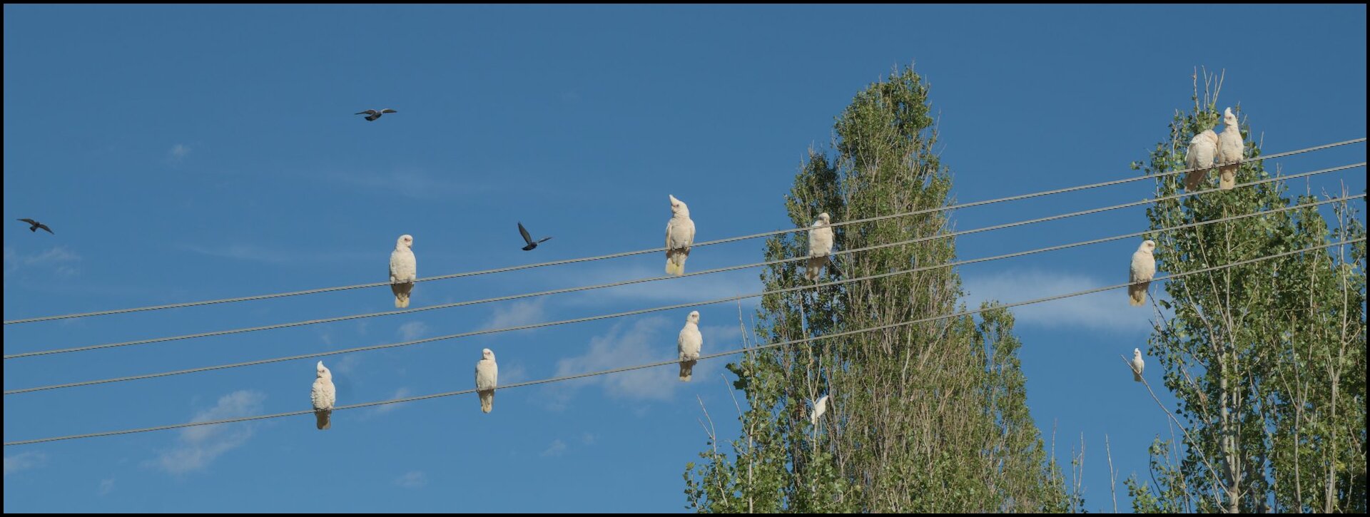
Pidgeons incoming.
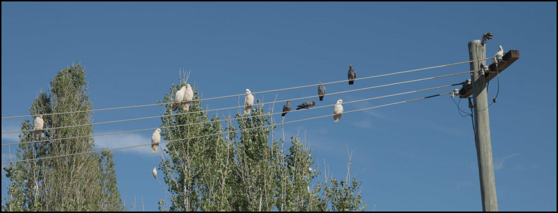
A successful landing.
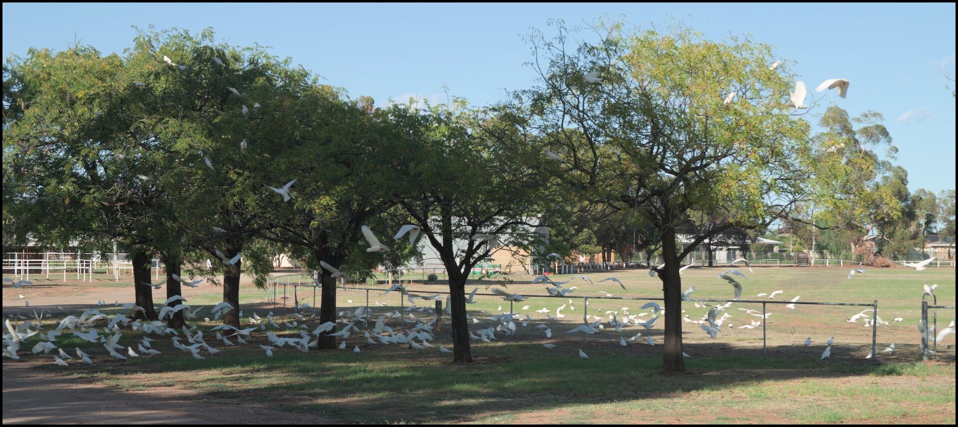
Some of the hundreds of Little Corellas we saw (and heard).
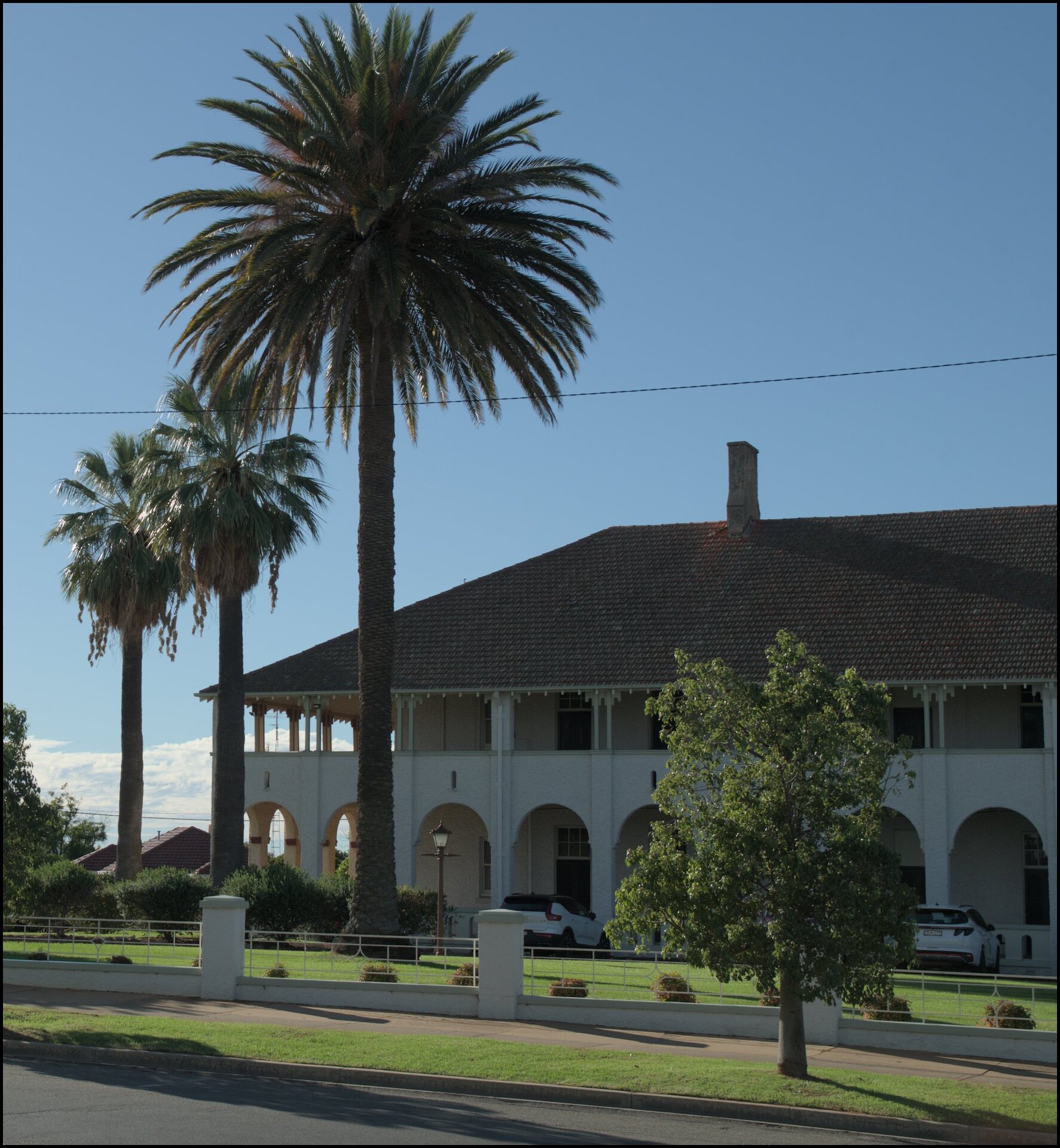
On day 5 we ventured south east from Griffith to have a look around Leeton and Narrandera. Many of Leeton’s main buildings are in the Art Deco style. Further along was Narrandera with its relaxed feel and our first view of the Murrumbidgee River.
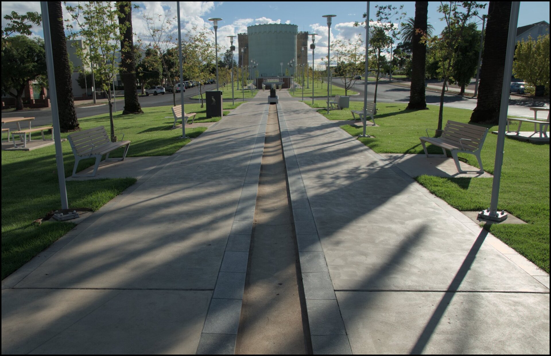
Looking from the ANZAC memorial towards the Burley Griffin water towers.

A Fire Station as I remember them all looking.
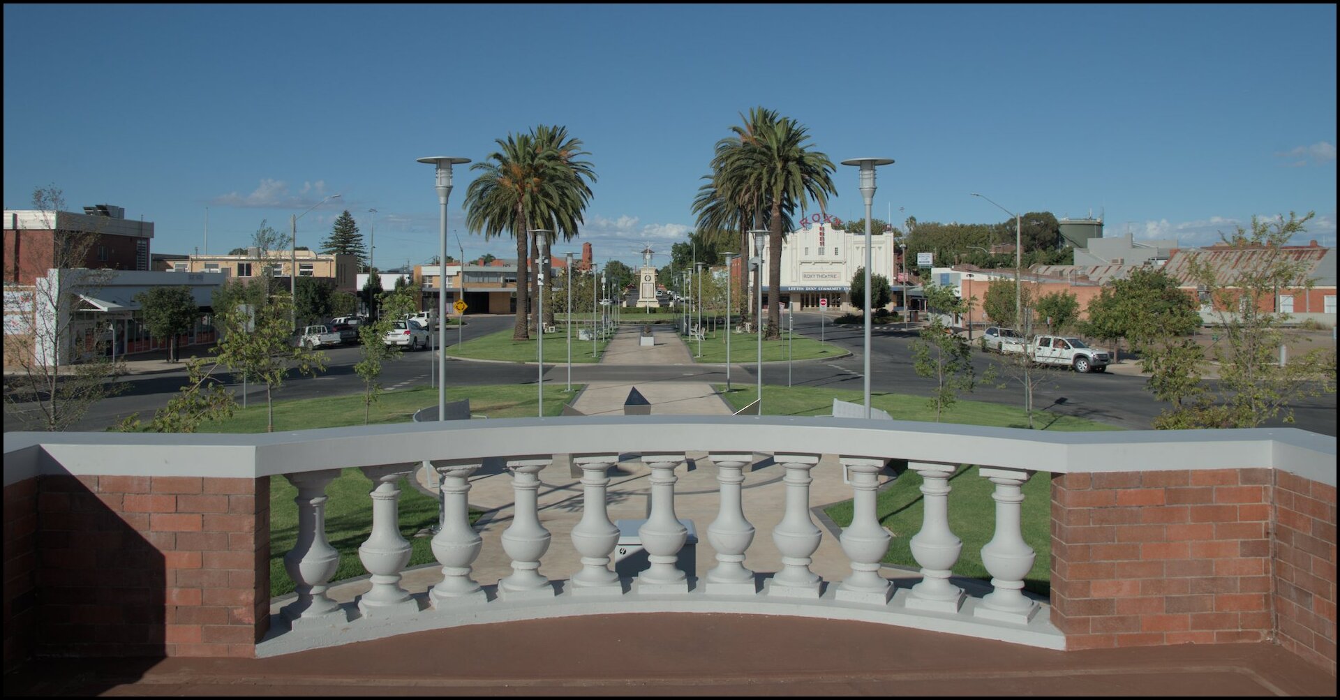
Looking back towards the memorial.
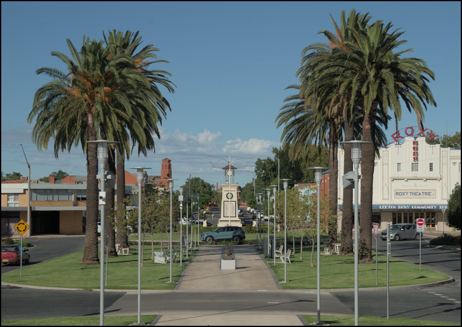
Zoomed in a little.

Art Deco Hydro Hotel.
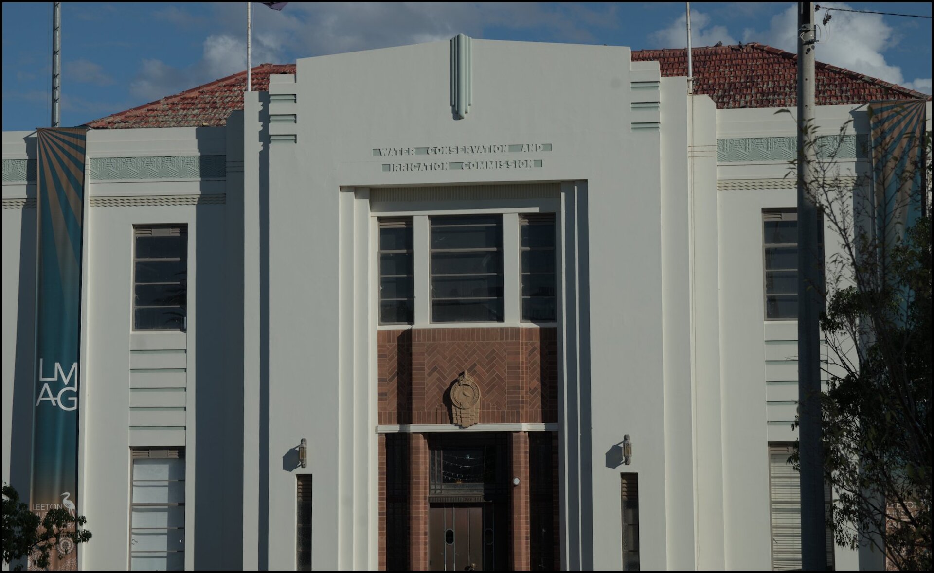
WCIC building. Both of my parents worked for this organisation (in Sydney) from the 1940s through to the mid-fifties and mid-eighties.
Another view of the Hydro Hotel.
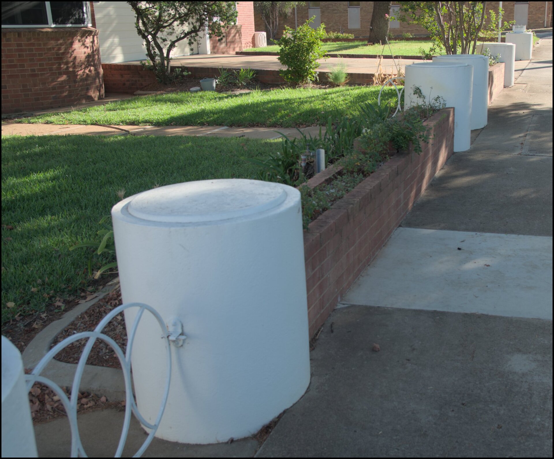
Groovy round fence posts (and curved building).
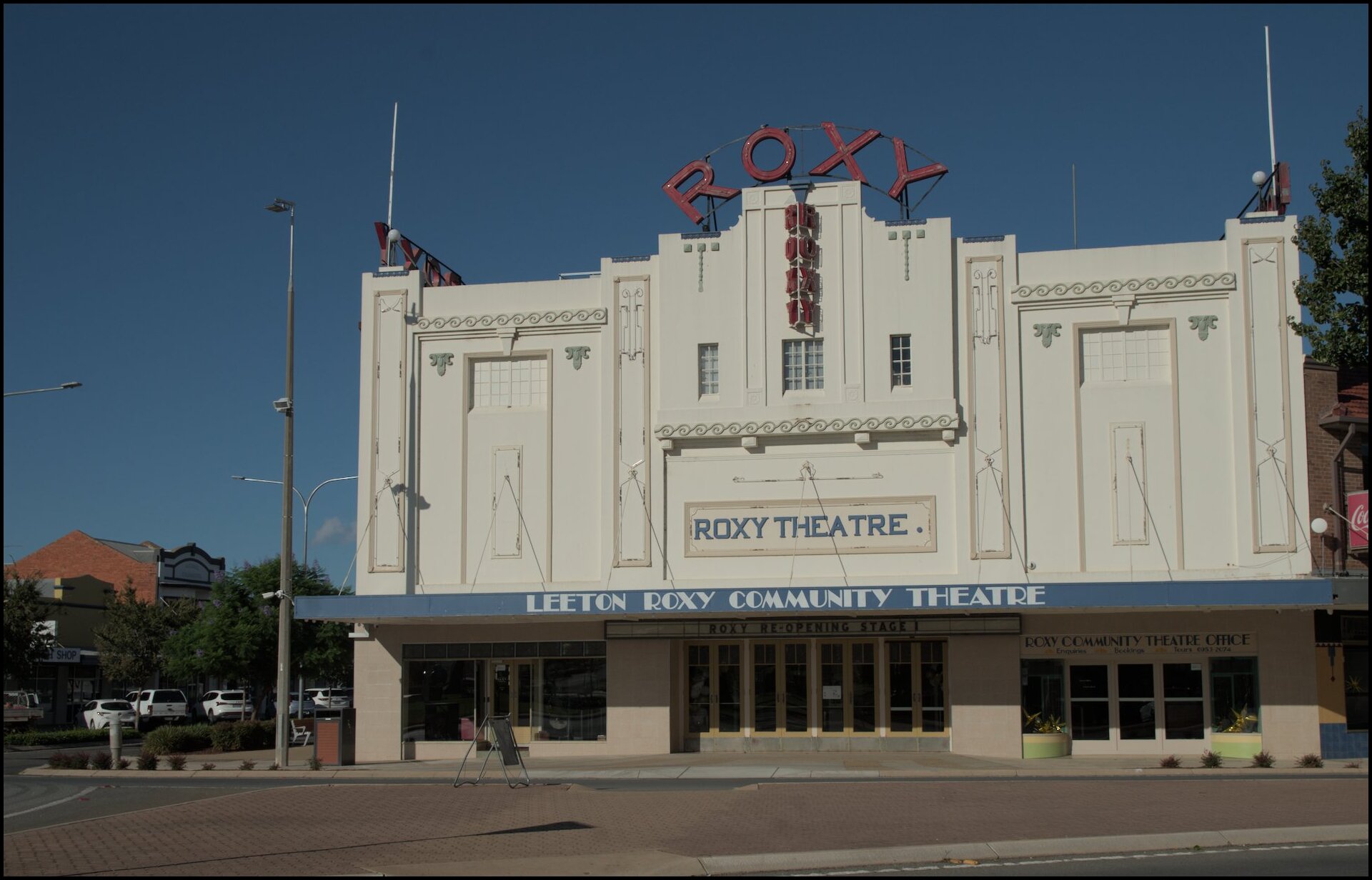
Art Deco Roxy Theatre.
I didn't use it.

Fancy brickwork.
Another groovy house in Leeton.
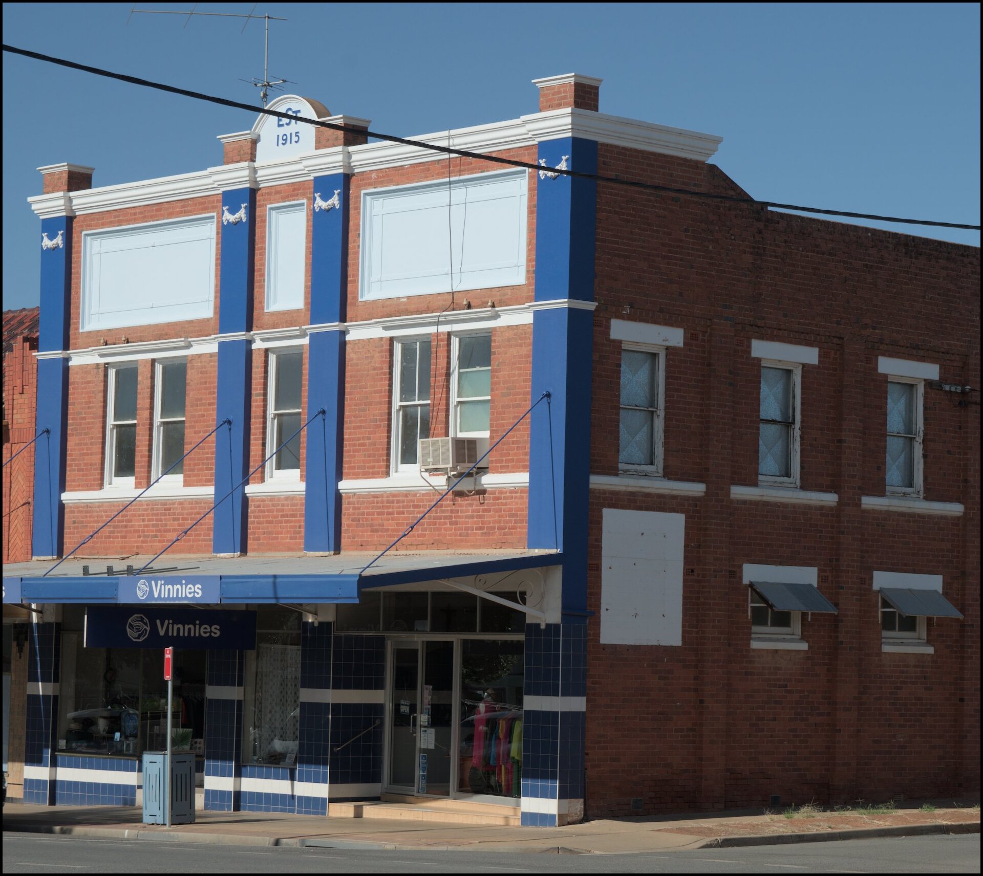
Vinnies - in a 1915 building.
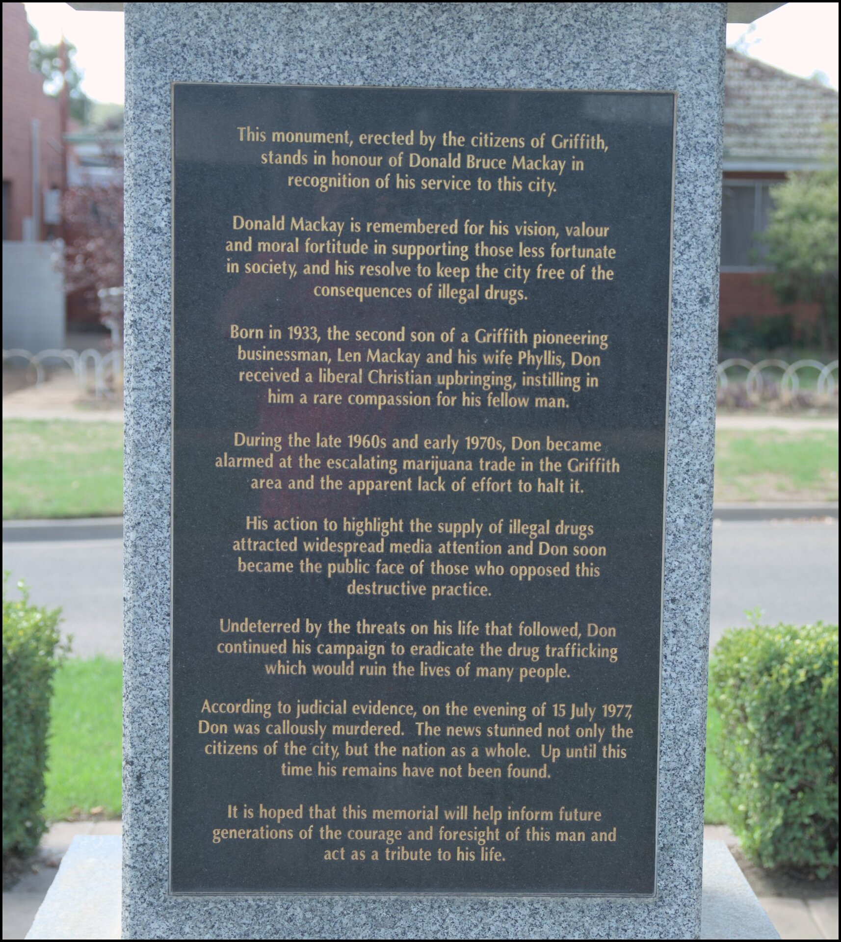
Day 4 saw finer weather. In the morning we attended Lifesource Church and in the afternoon visited Lake Wyangan, the Hermit’s Cave site (again) and the memorial to Donald Mackay in the main street of Griffith.
The lake has neither inflow or outflow so was quite unappealing.
I wouldn't eat anything pulled from the lake.
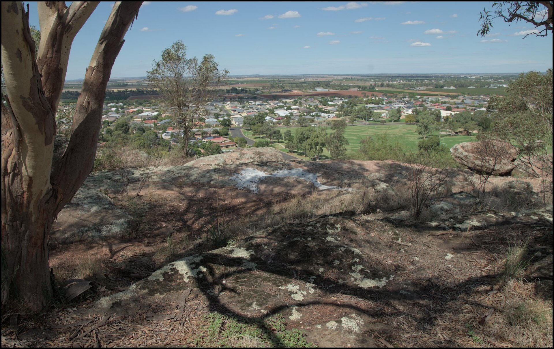
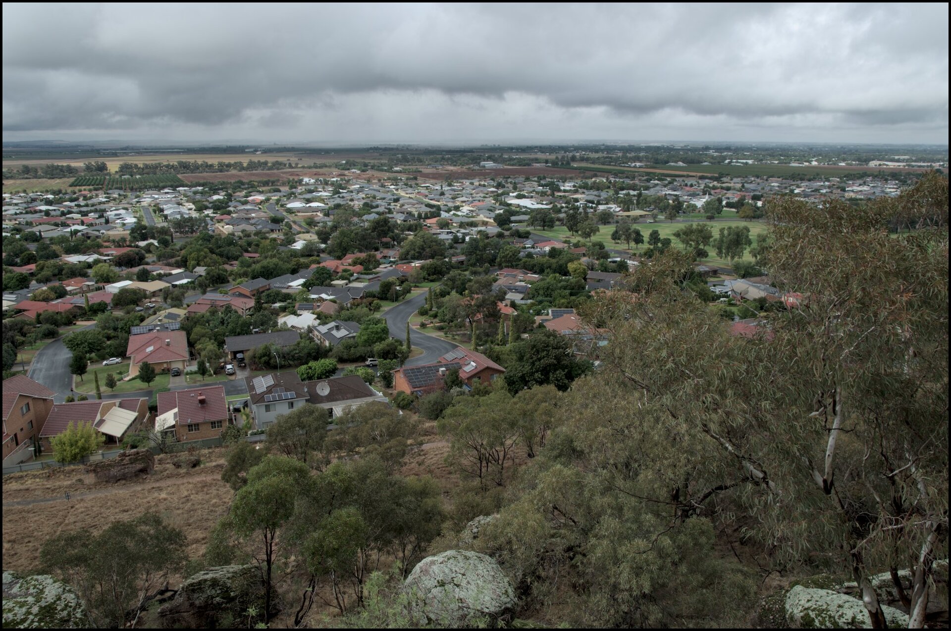
A view of Collina (north east Griffith) from above the Hermit's Garden.
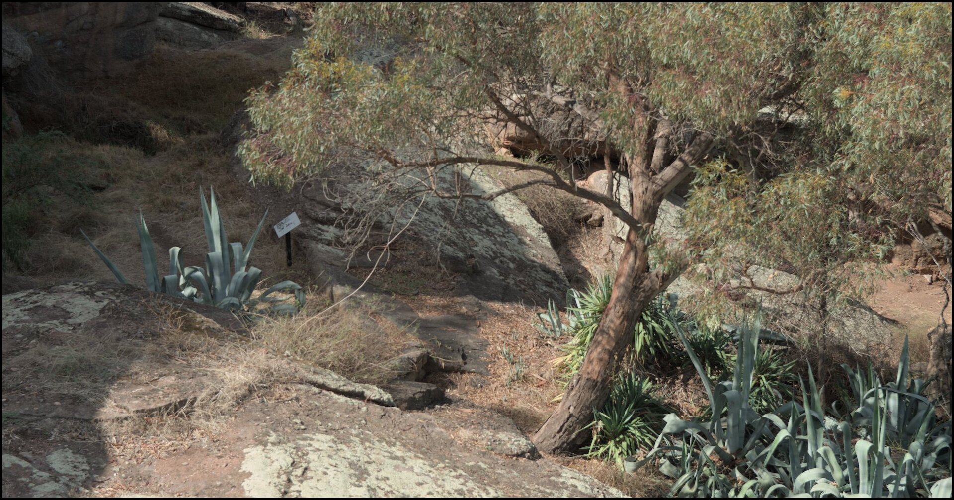
The garden once produced significant amounts of food. Now quite neglected.
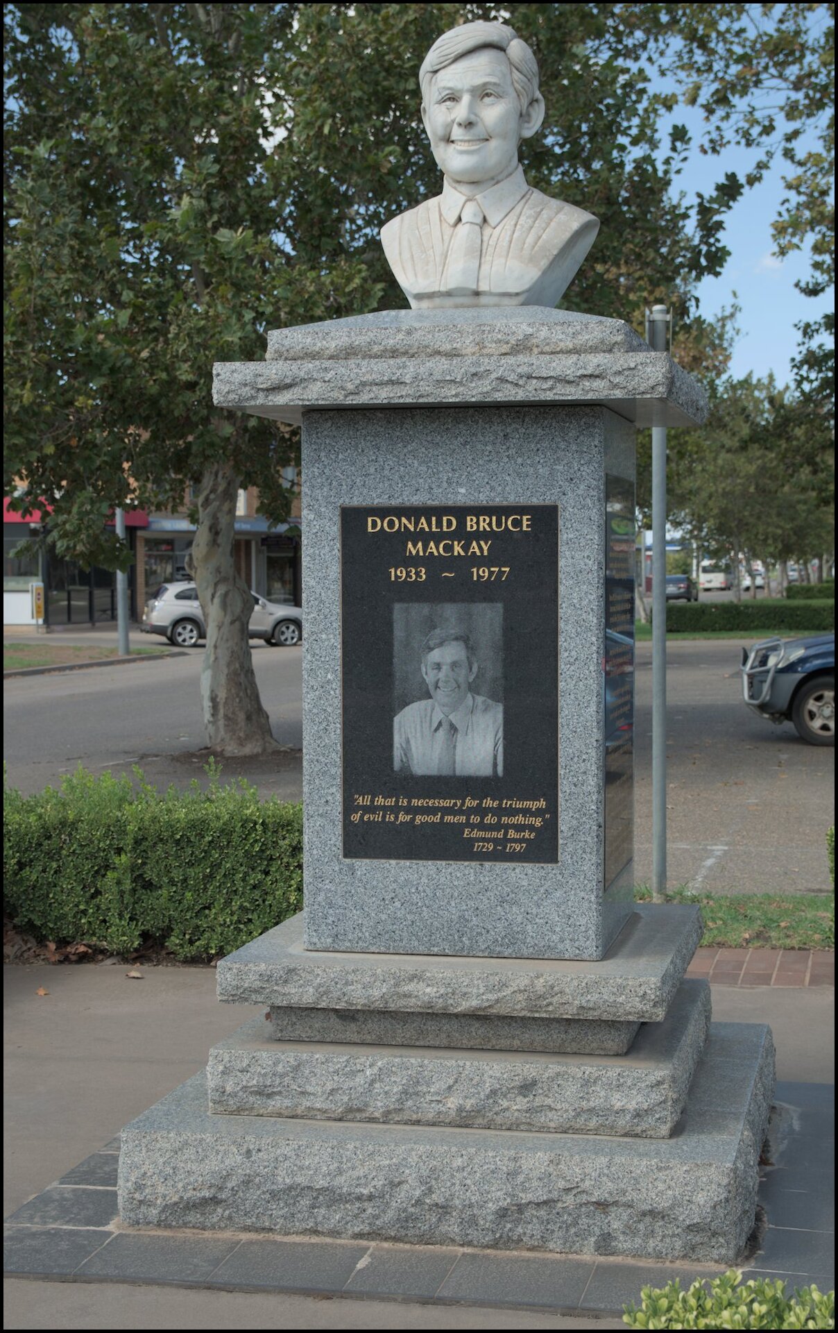
The memorial to Donald Mackay.
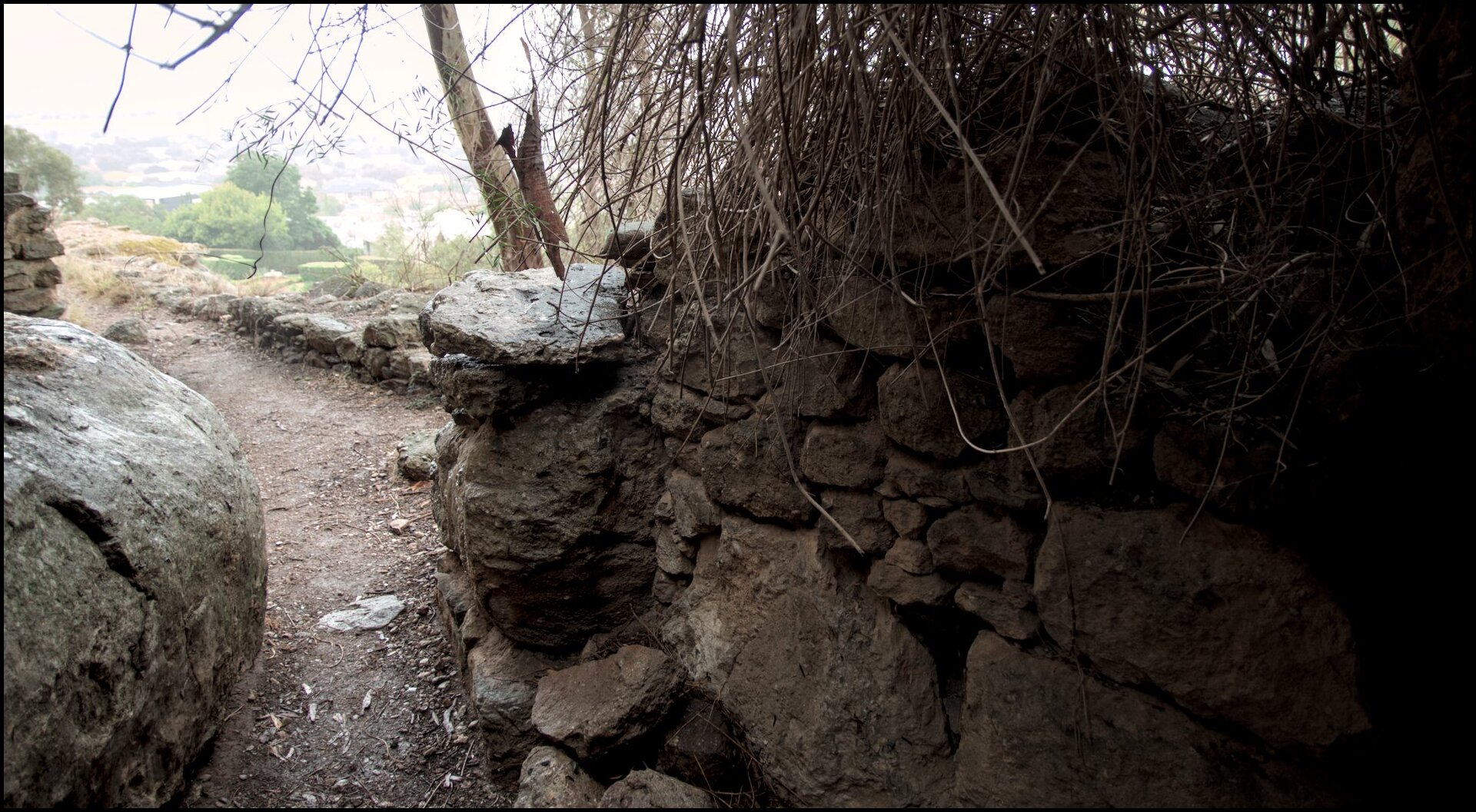
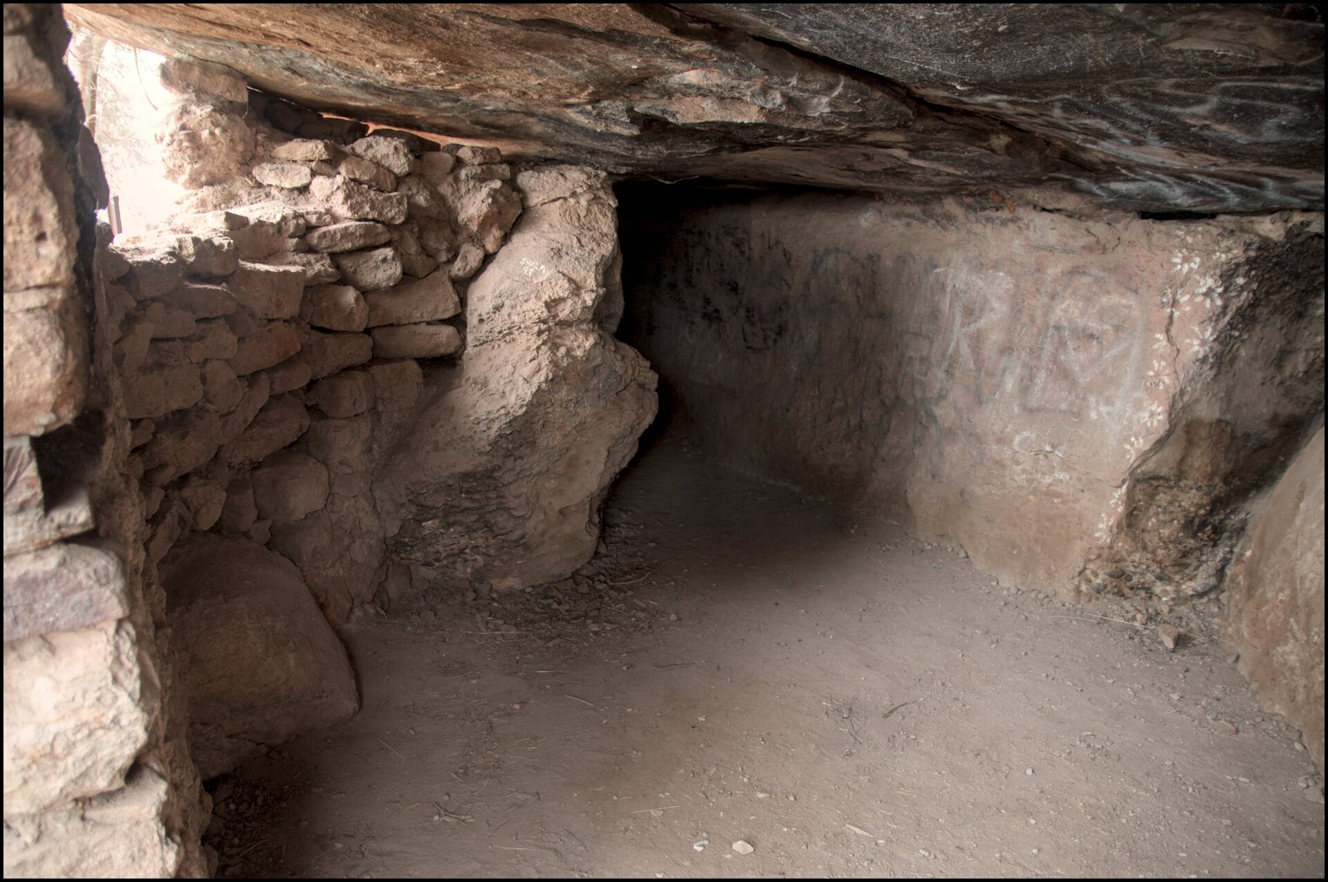
Day 3 was a little wet so we kept our travels local. The primary visit was to the Hermit’s Cave just outside of Griffith. It was occupied by a man named Valerio Ricetti for over 20 years from the late 1920s to the early 1950s. The entire complex extended over a kilometre.
View from the lookout above the cave complex.
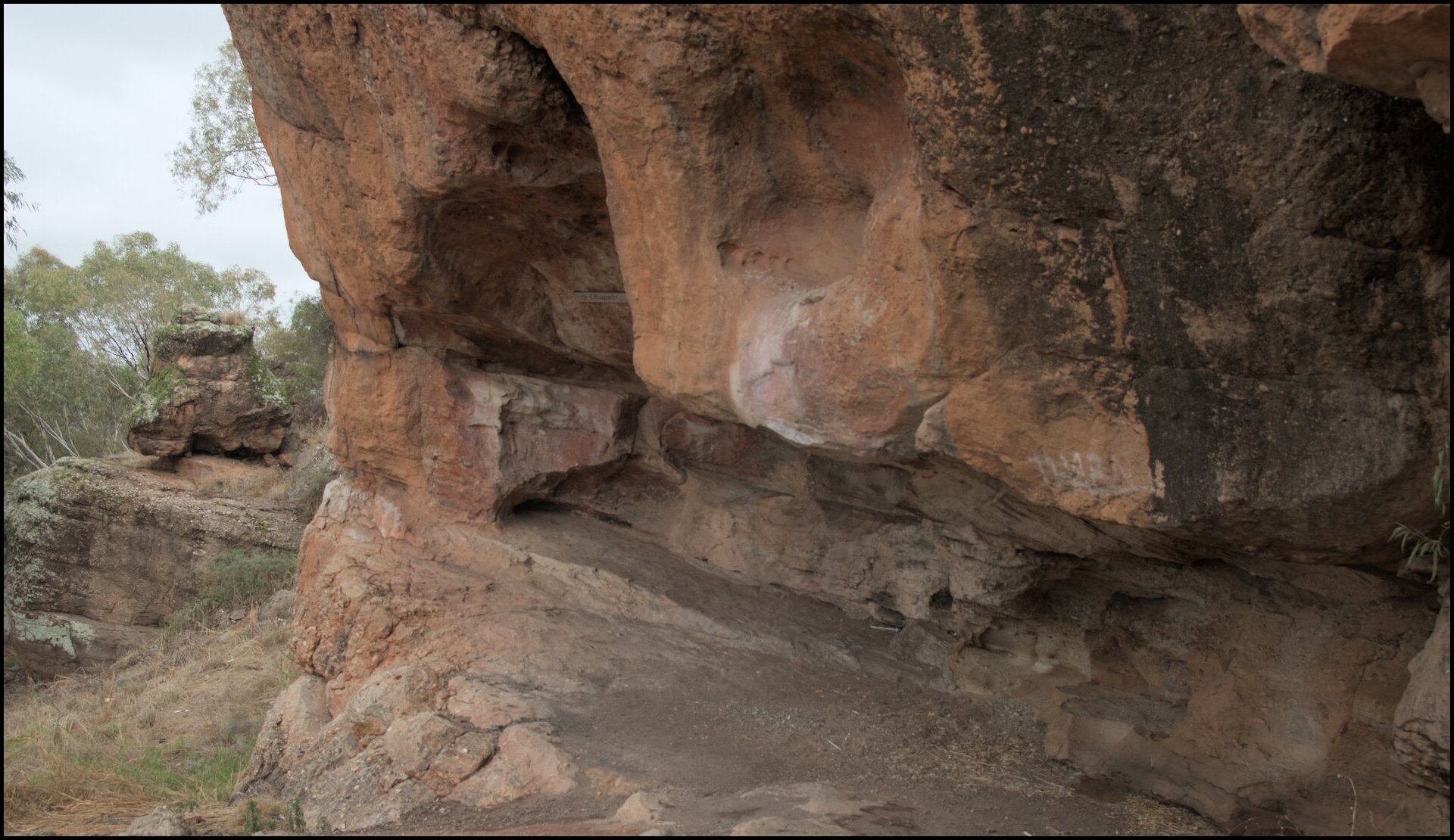
The Chapel. I'm not sure if Valerio undertook some spiritual practices or disciplines here.
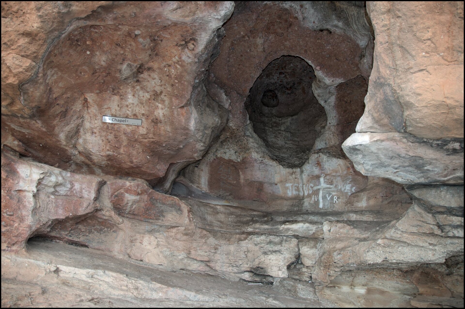
A closer view in the Chapel.
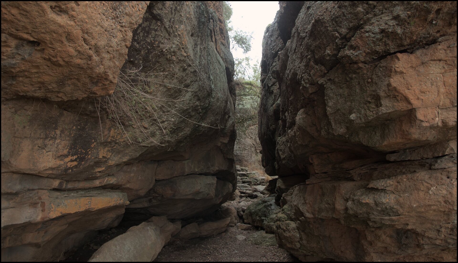
Part of the path. Looks like something from Picnic at Hanging Rock.
I think this was the kitchen.
The sleeping quarters.
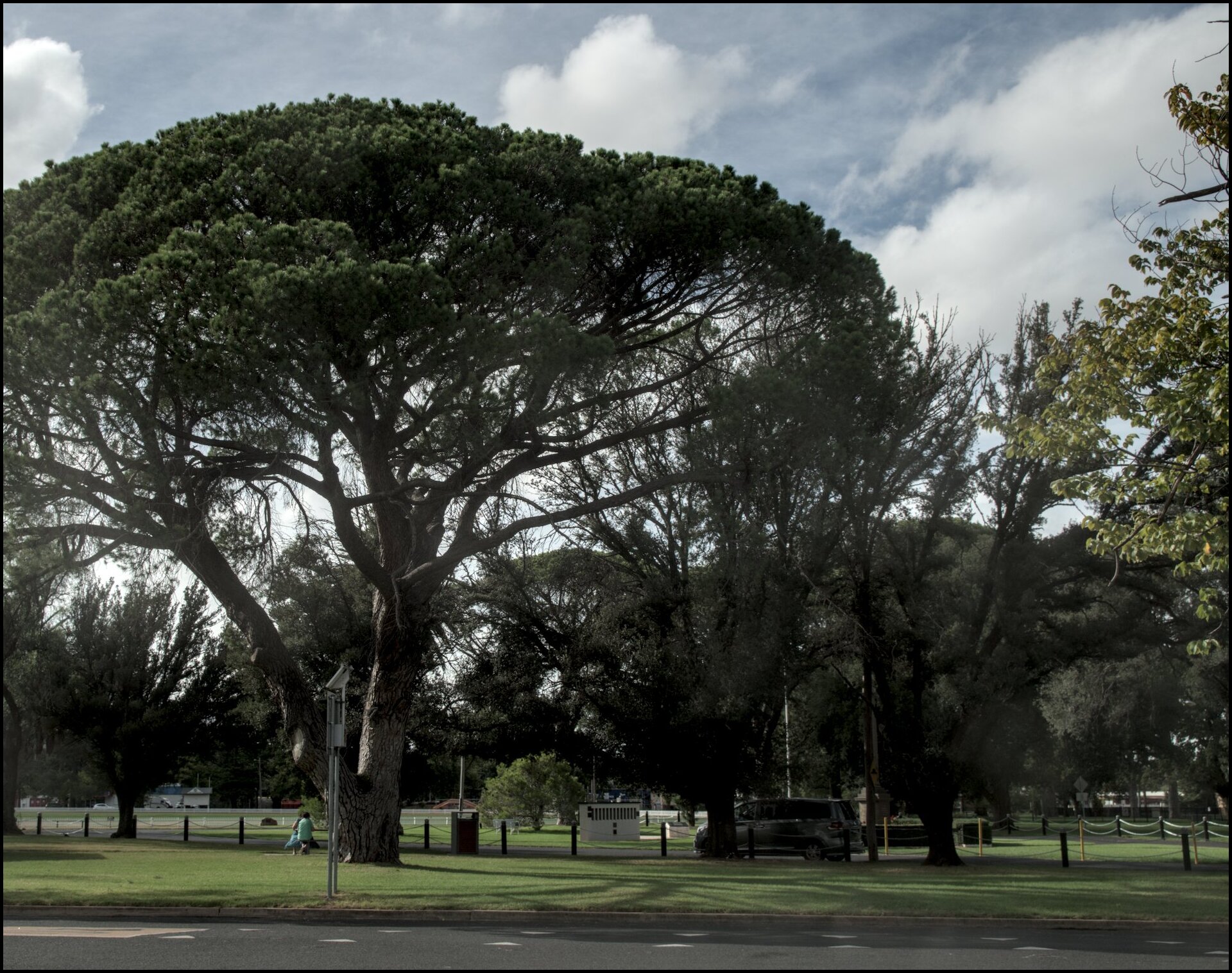
Day 2 saw us travel from Goulburn to Griffith via Cootamundra, Temora and Barellan.
Cootamundra is famous as the birthplace of Don Bradman; Temora for Paleface Adios; and Barellan (though born in Griffith) as the childhood home of Evonne Goolagong Cawley.
Cootamundra and Temora were quite attractive places. We didn’t stop in Barellan. Lunch was in Ardlethan.
Cootamundra War Memorial in Albert Park. The lens was quite dusty.
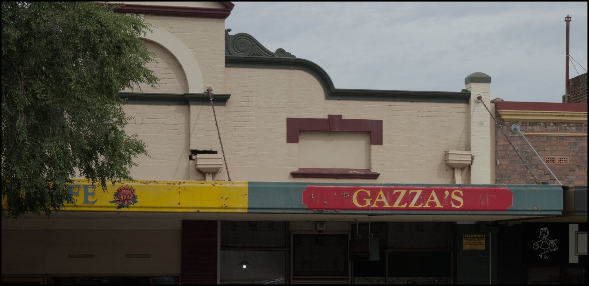
Gazza's - a women's fashion store!
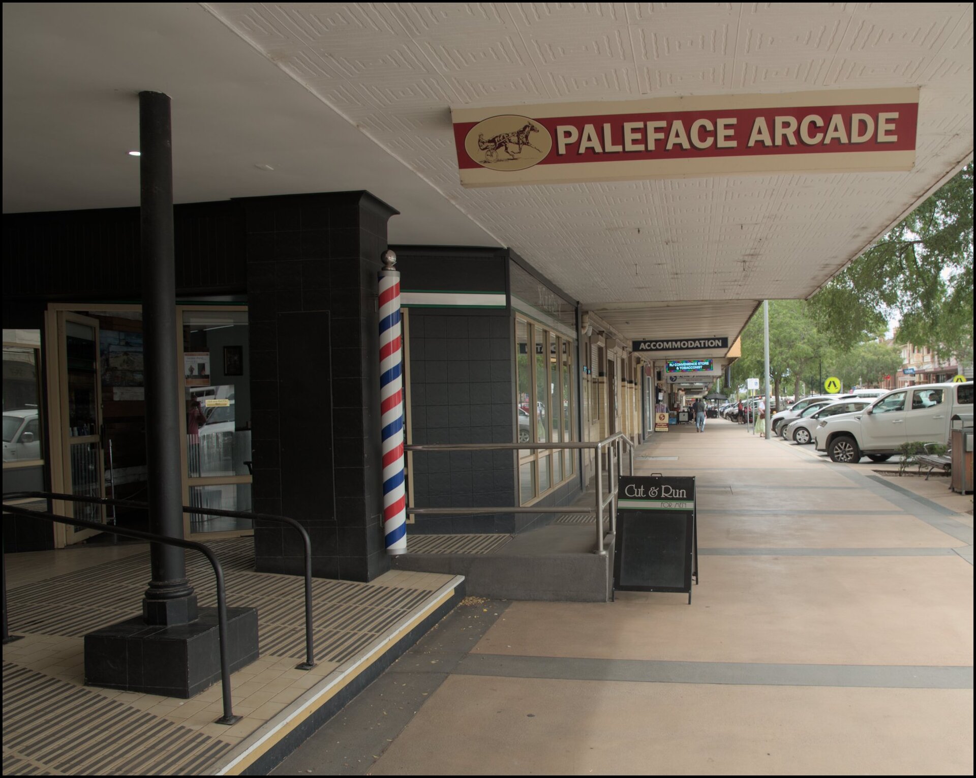
Wonder if horses are allowed in the arcade?
Very early, or quite late?
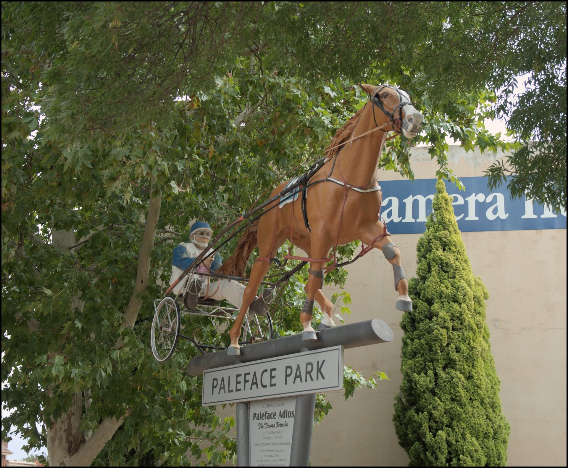
The famous pacer from the 1970s and 1980s.
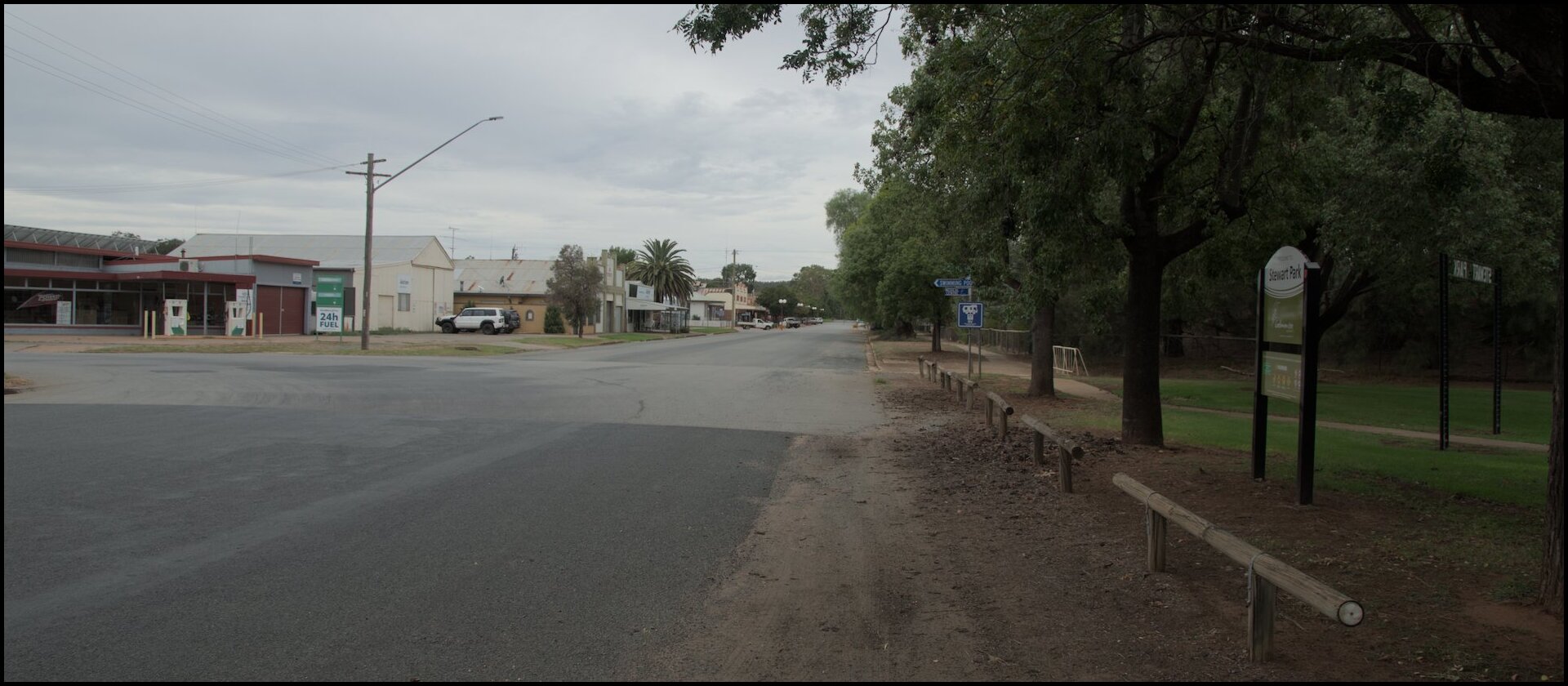
Not much going on in Ardlethan that we could see.
So begins our photoblog1 of our recent holiday to the Riverina and Central West region of NSW.
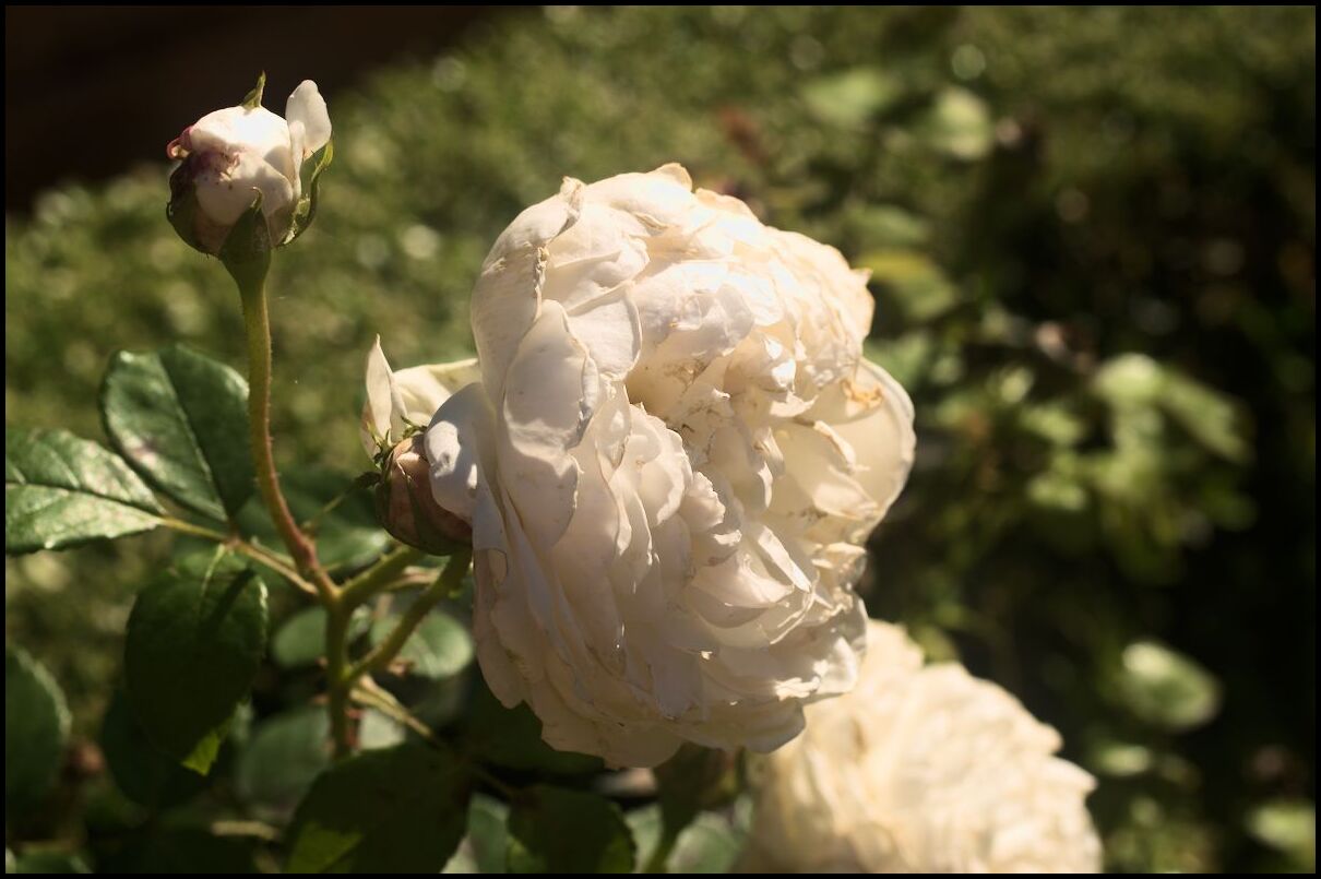
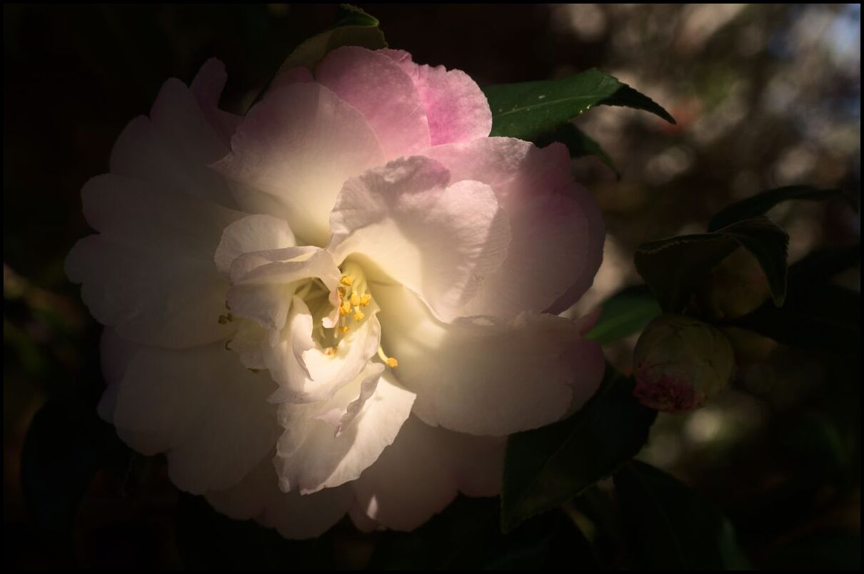
Day 1 was a stopover in Goulburn on the way to Riverina. My only photos were from my phone and are of the Victoria Park Rose Garden:
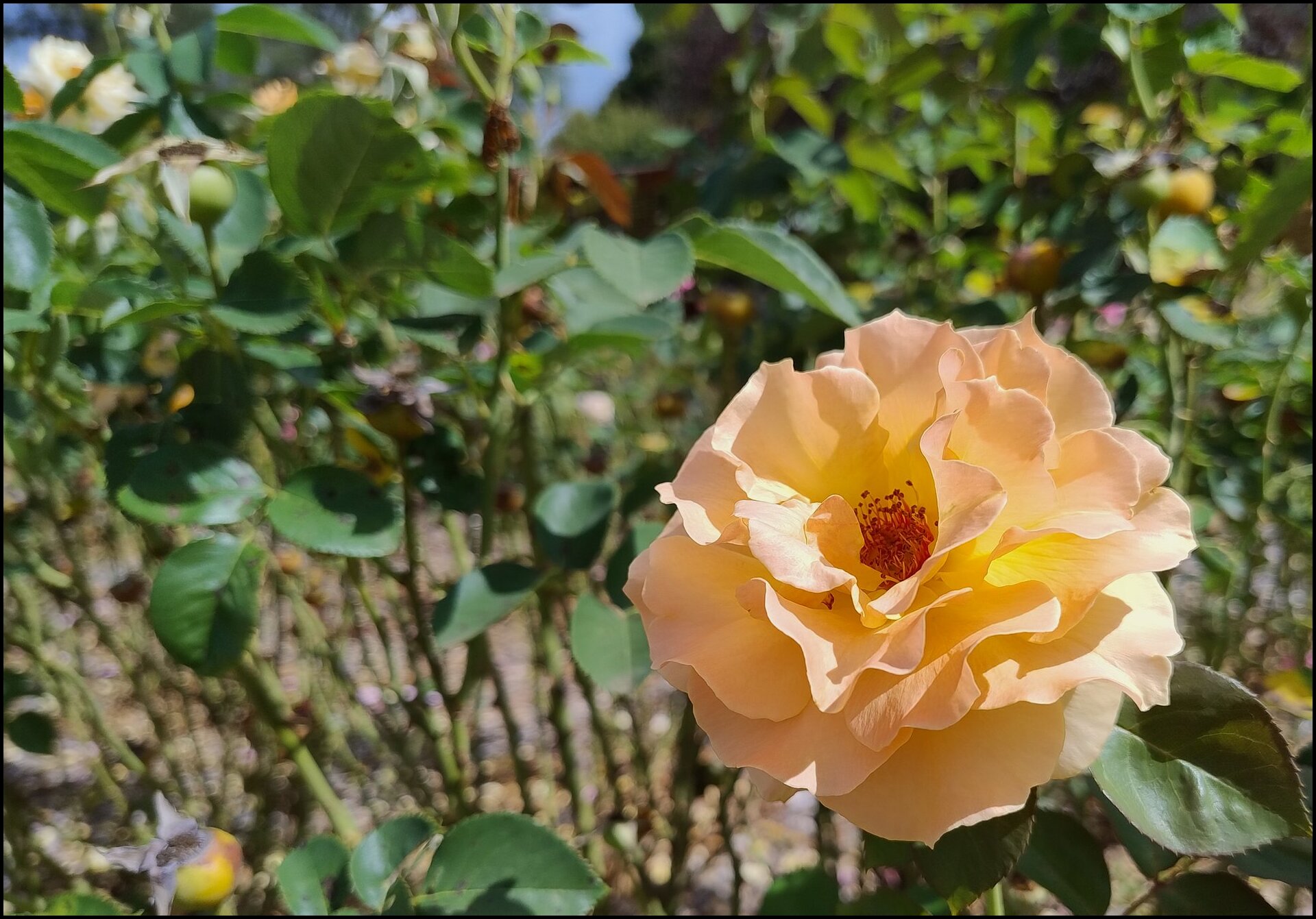
Some flower colours were subtle.
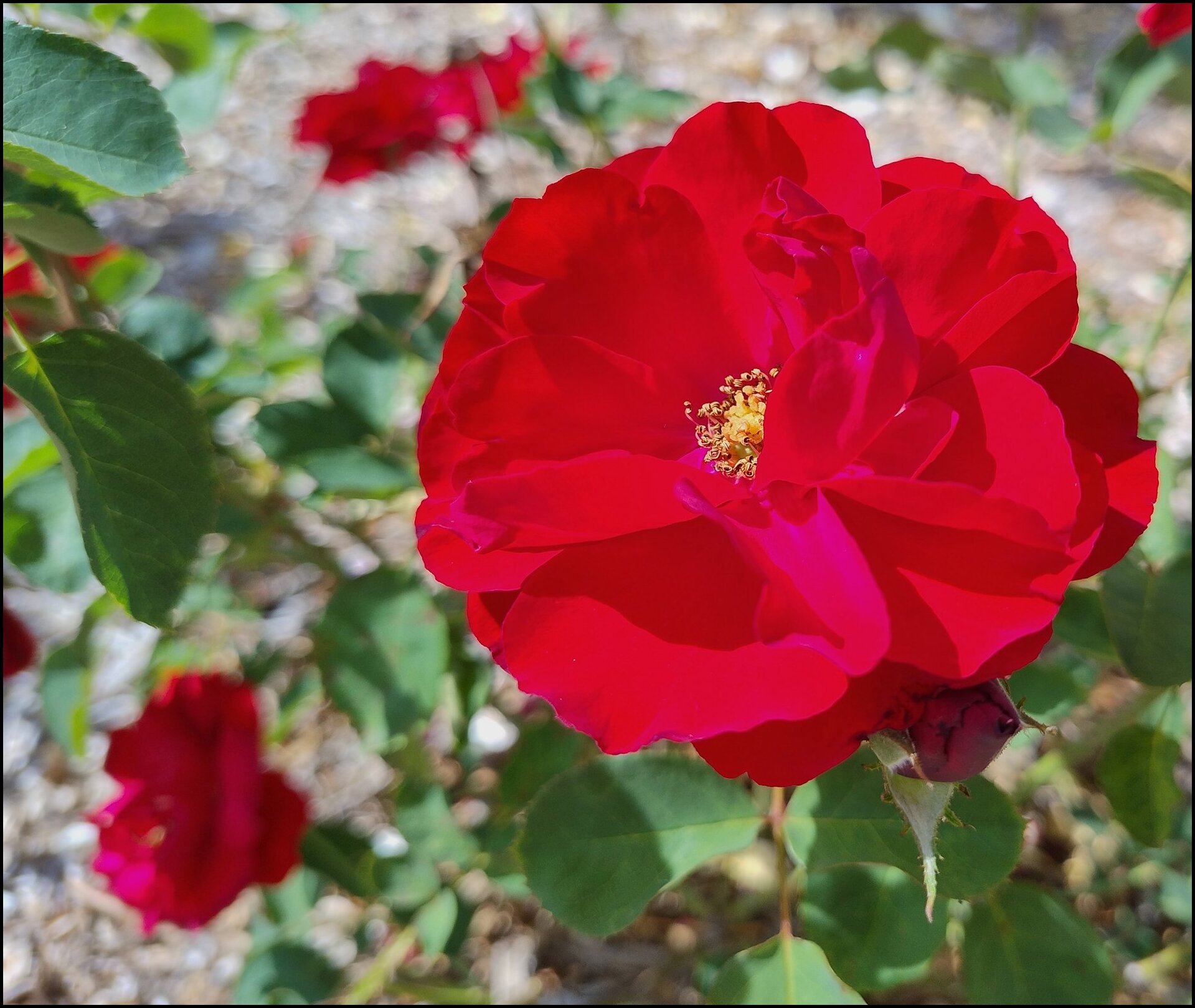
Others not so subtle.
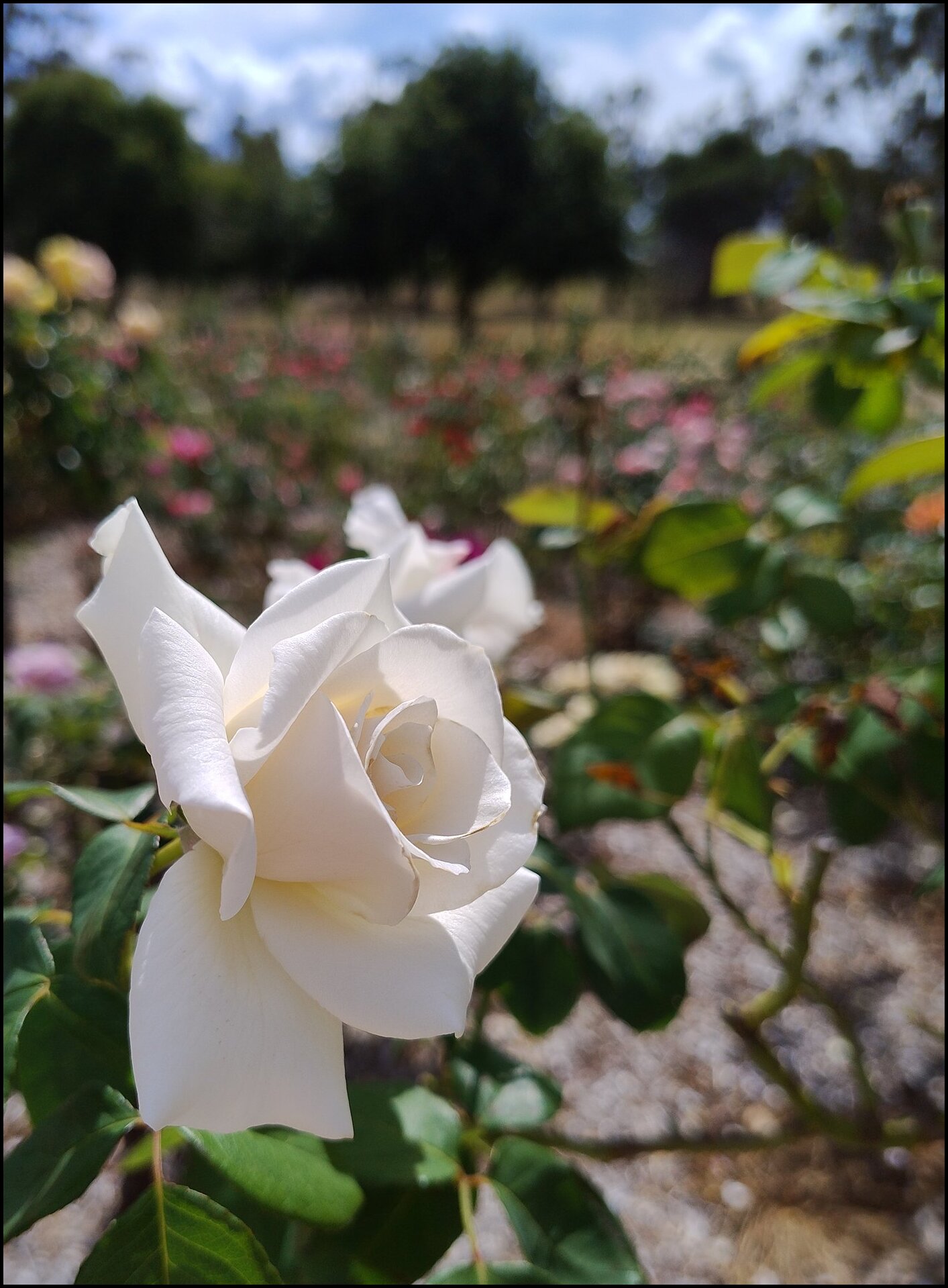
Clear white.

I don’t like the term, at all ↩︎
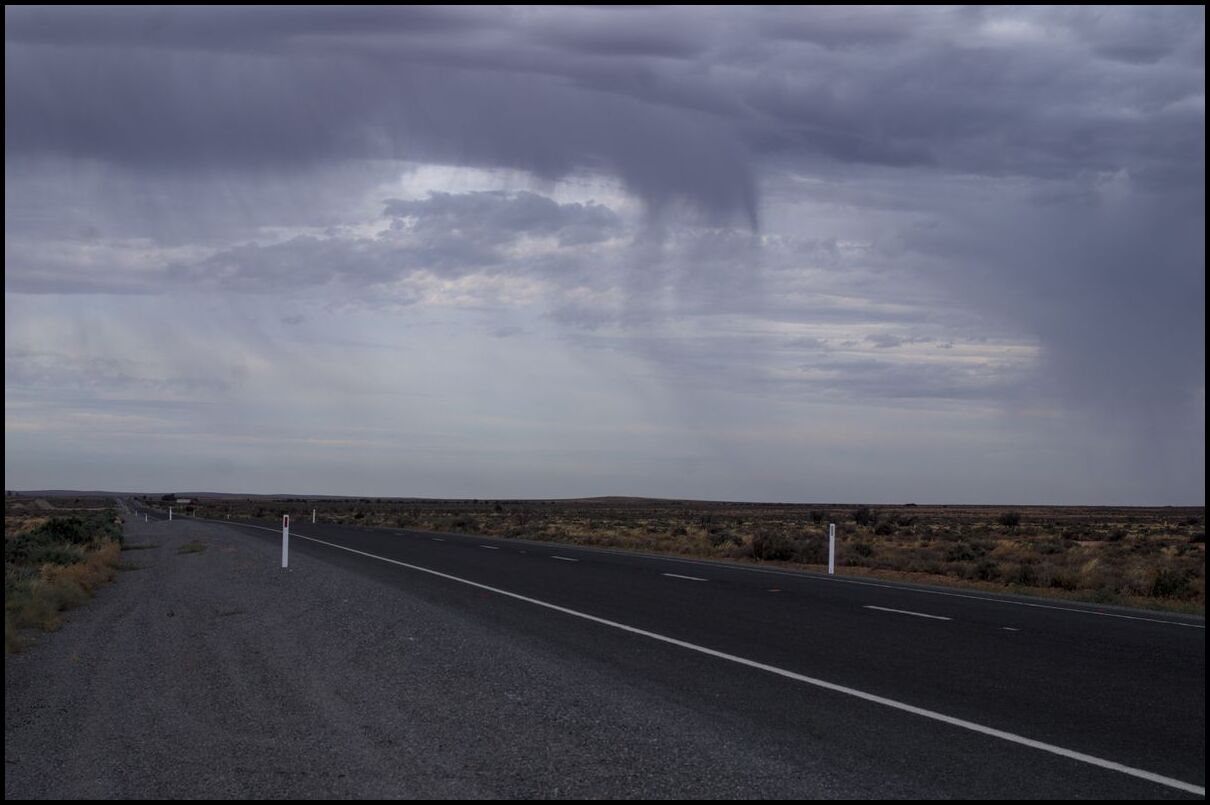
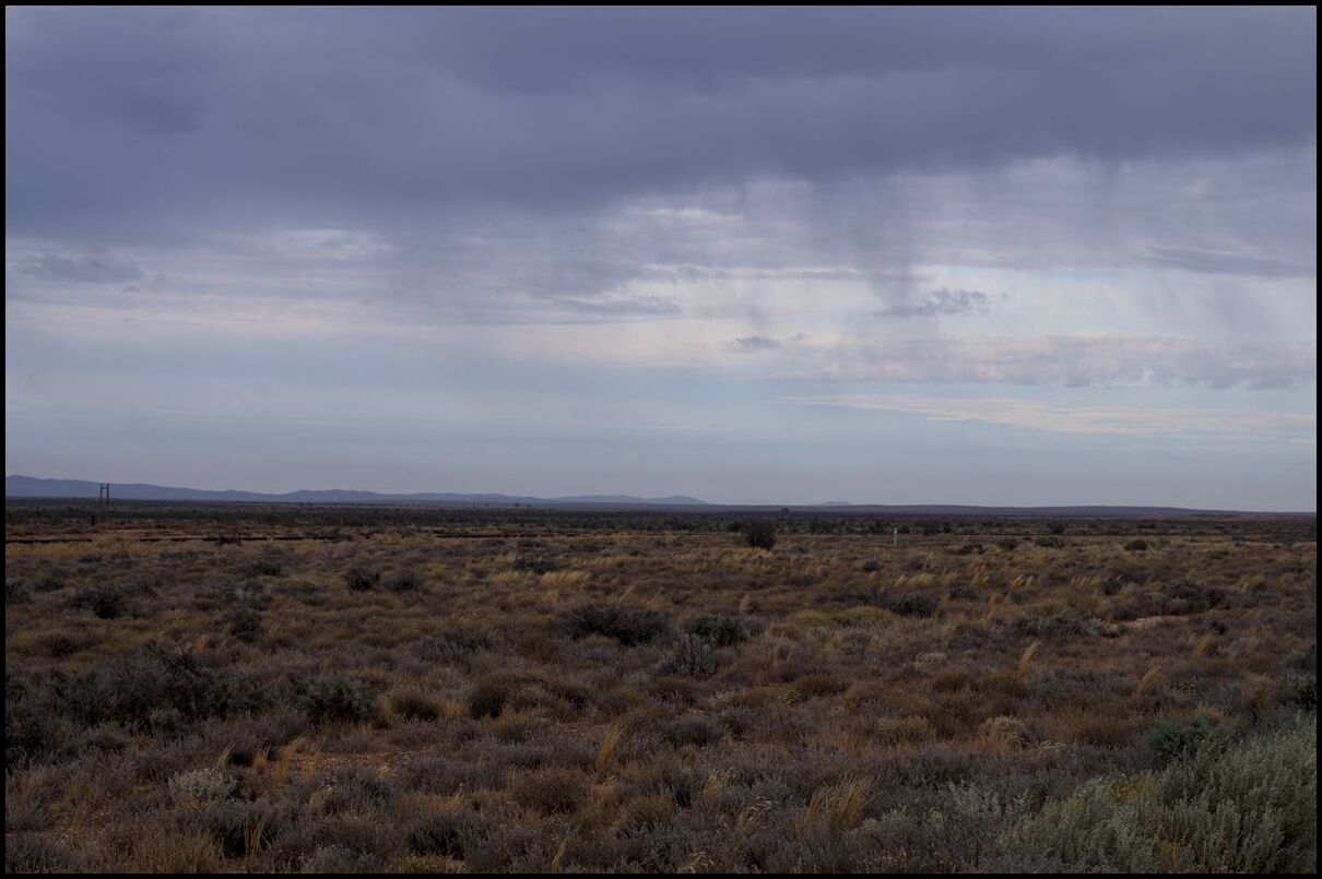
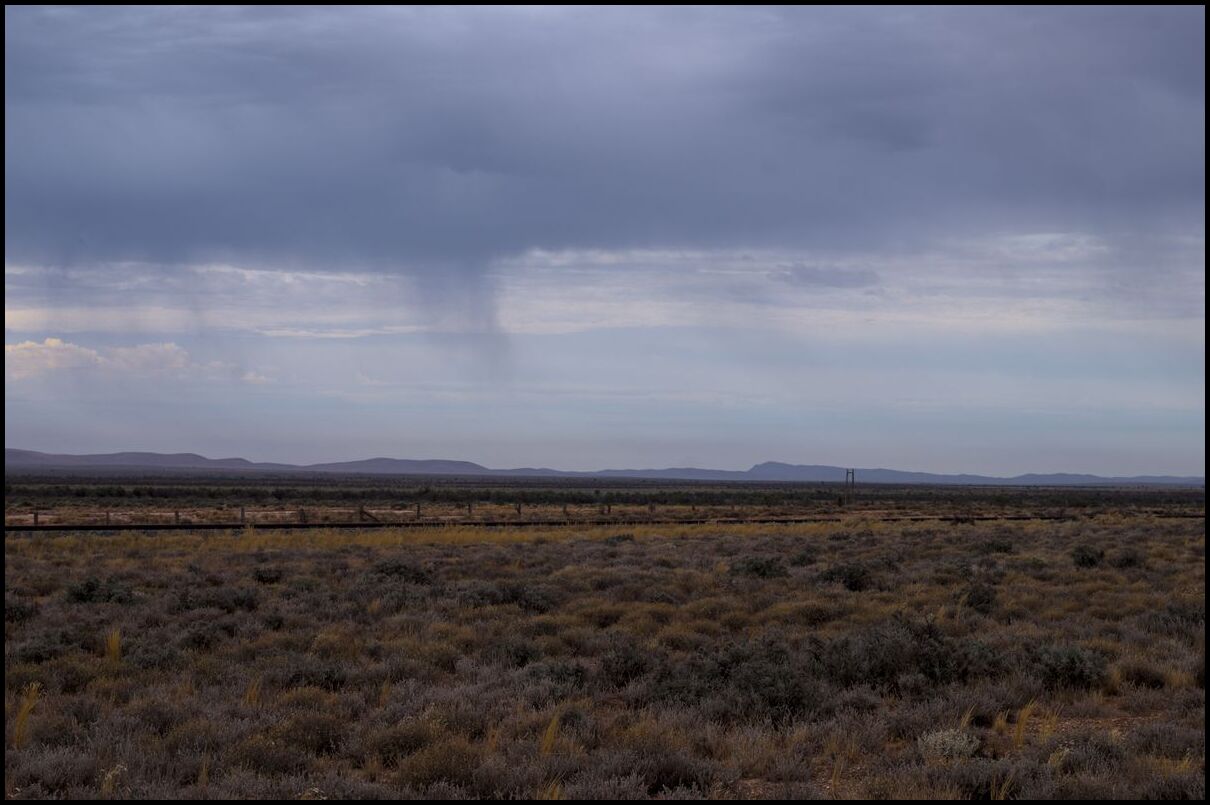
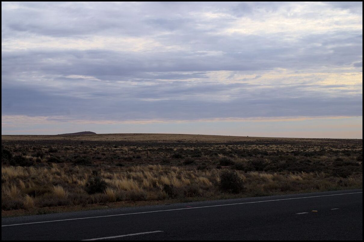
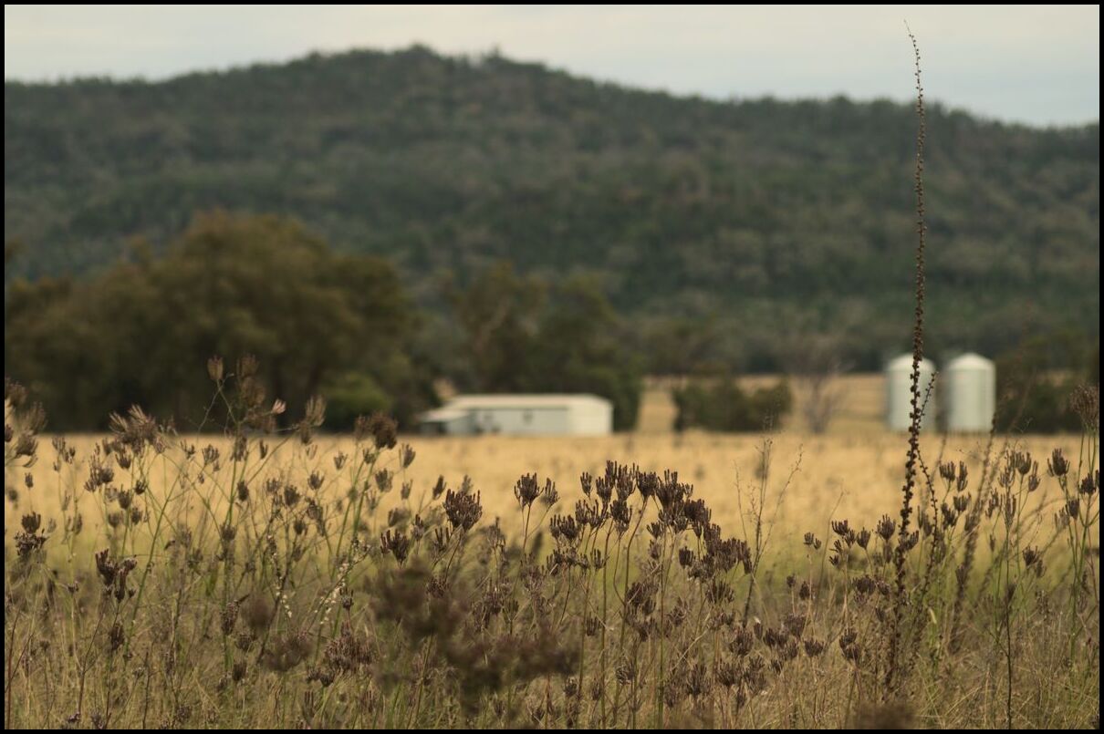
Day 19 was the last day of photographs on our holiday. Day 20 was spent travelling home. Day 19 saw us visiting the Warrumbungles again after previously visiting two years earlier.
Our day began earlier than expected because it was freezing (literally) outside. We went for a walk around 7:30am to warm up! Later that morning we did a few short walks in the national park. Many of the sights in the park are simply awesome. Later that afternoon we visited Timor Road park by the Castlereagh River just out of Coonabarabran to do some bird watching.
Day 18, the third last day of our holiday, involved a drive from Lightning Ridge, through Walgett, Coonamble and Barradine to Coonabarabran.
I think they forgot an air conditioner
Day 17 was a ‘recovery day’ spent in and around Lightning Ridge after our 700km drive to get here.
It’s an interesting place - eclectic; dusty but attractive; reputedly one of the poorest towns in NSW; beautiful and clear light. It seems that places with such clear light attract many artists. It is the same with Broken Hill. Plenty of tragedy and hard, physical work and plenty of artists as well.
Day 16 was a long driving day - a little over 700km. It should have been less than 600km but our GPS suggested a route that involved 170km of dirt - which we only discovered after driving the first 50km on tar.
Anyway, the drive from Charleville to Lightning Ridge took us past/over the Angellala Creek Bridge which was the scene of Australia’s largest transport explosion when, in 2014, a truck carrying 50 tonnes of ammonium nitrate caught fire, crashed and exploded. Both the railway and road bridges were destroyed. No lives were lost.
Day 15 involved a drive from Blackall to Charleville. Much of the road is flat and straight with varying forms of sparse landscape. A cup of coffee in Tambo and a couple of stops along the way saw us arrive in Charleville before lunch. After lunch we walked the Warrego River Walk which was only a kilometre or two long. Plenty of stops along the way to check out the river and bird life.
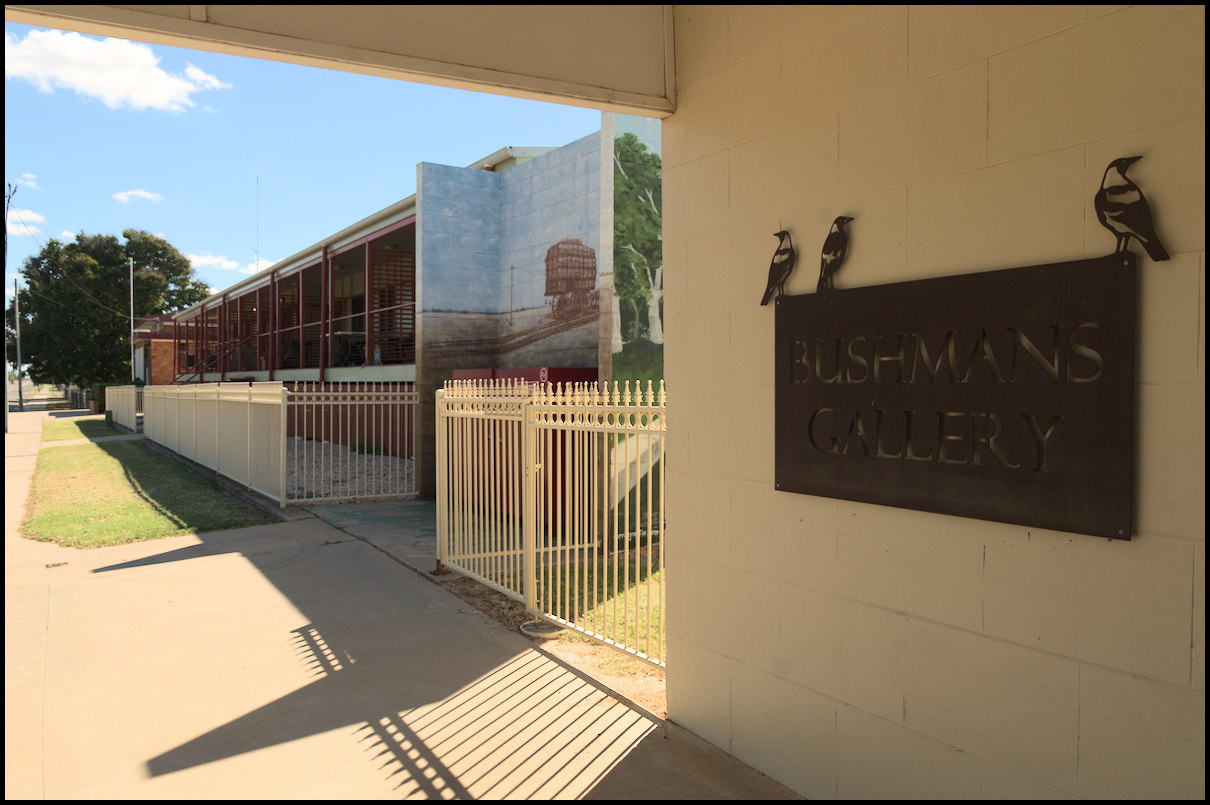
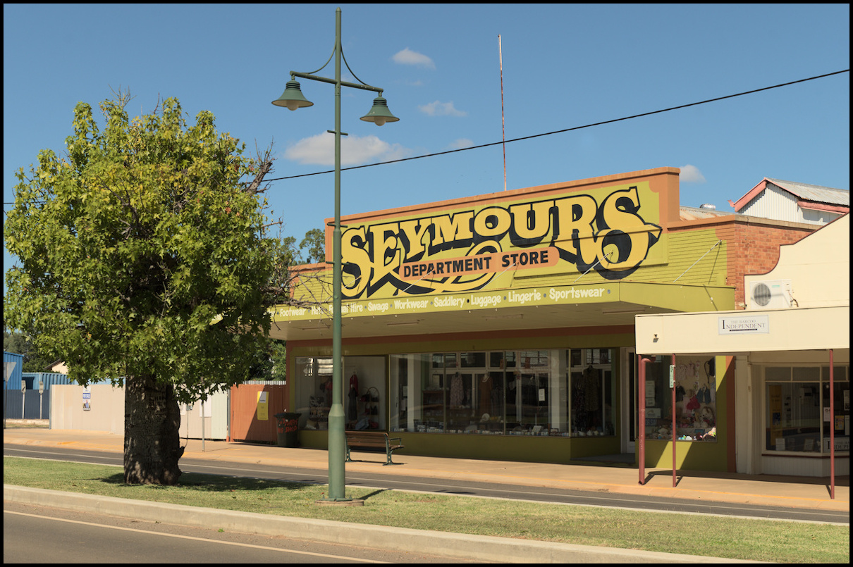
Day 14 saw us leave Winton for Blackall. After lunch in Pioneer Park we sought out the Black Stump and walked part of the Blackall bird nature walk in the afternoon. The Black Stump was a major survey point for western Queensland in the 1800s. Anything west of that point was ‘beyond the black stump’.
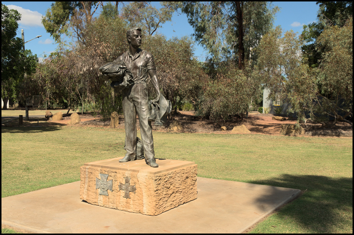
Statue of Lieutenant Edgar Towner VC. Reenlisted for WWII and was promoted to Major.
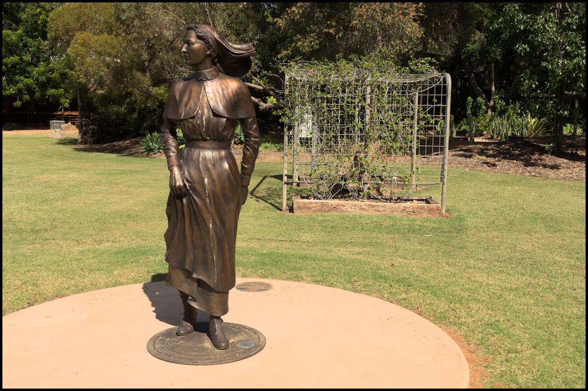
Edgar's sister, Greta Towner, WWI nurse
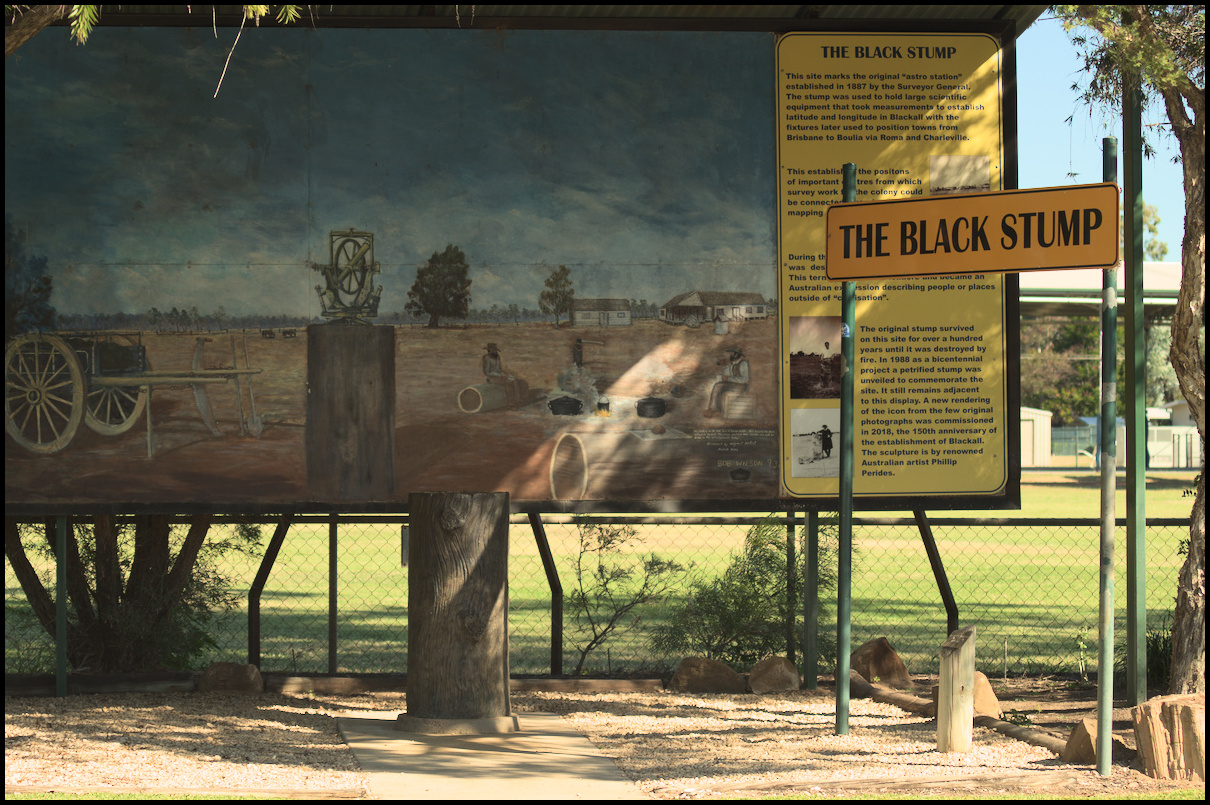
The Black Stump (replica!)
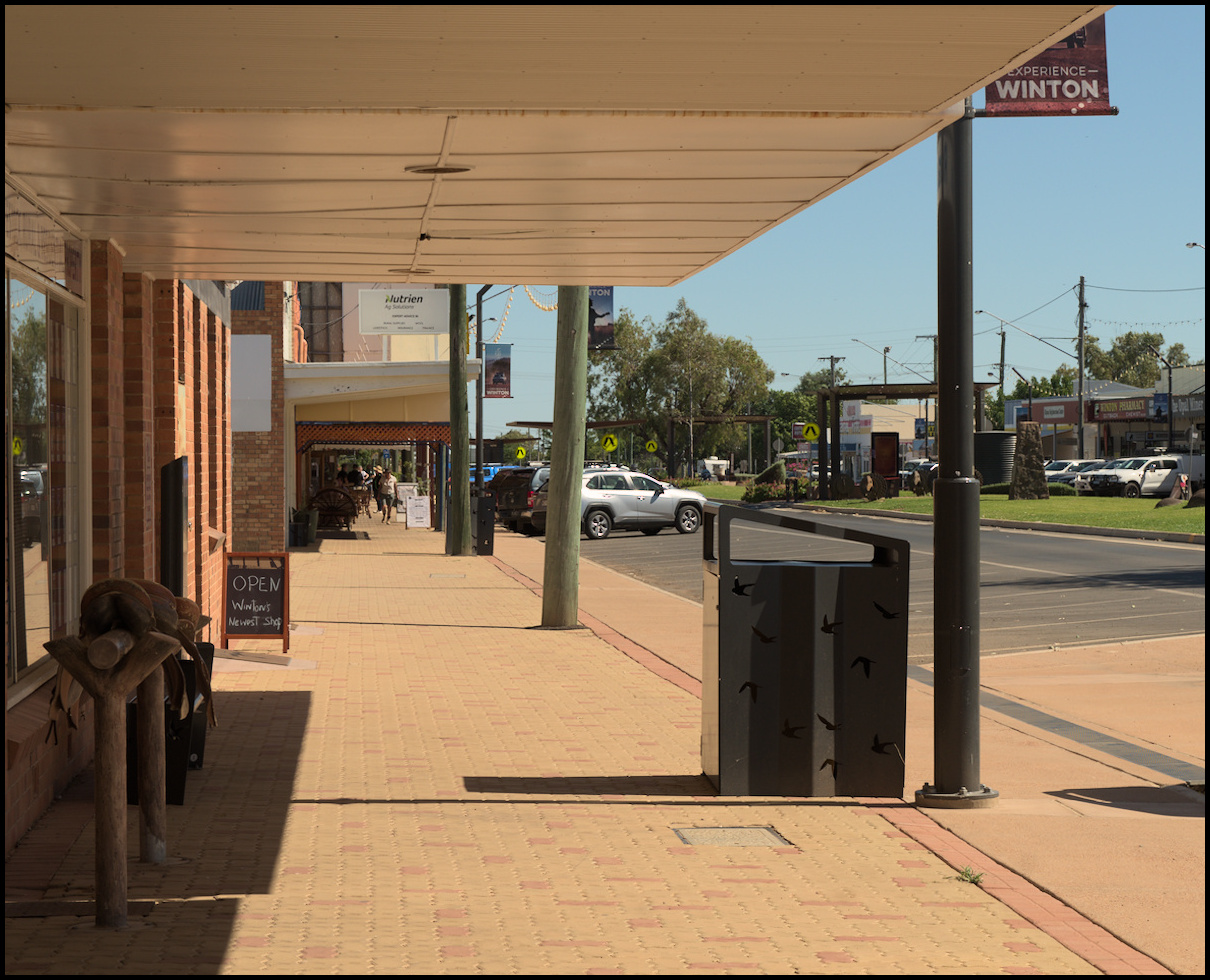
Day 13 was spent around Winton. The morning involved driving the ‘Route of the River Gum’ in Bladensburg National Park. The national park was formerly the Bladensburg cattle station. It was an amazing place - apparently desolate on the surface yet plenty of life when you pause and look and listen.
The afternoon saw us visit two waterholes south of Winton: Long Waterhole to the south east and Pelican Waterhole to the south west.
Day 12 began 95 million years ago (or something like that) with our visit to the Age of Dinosaurs outside of Winton. Our visit comprised three components: A guided tour of the fossil preparation laboratory; a tour of the collection room and a couple of videos about the history of the discovery of dinosaur fossils; and a tour of the March of the Titanosaurs trackway exhibition and walk through Dinosaur Canyon.
On day 11 we drove from Longreach to Winton. It’s roughly 180km and there is little human habitation between the two.
Banjo Patterson wrote the words to 'Waltzing Matilda' on a property near Winton.
rams
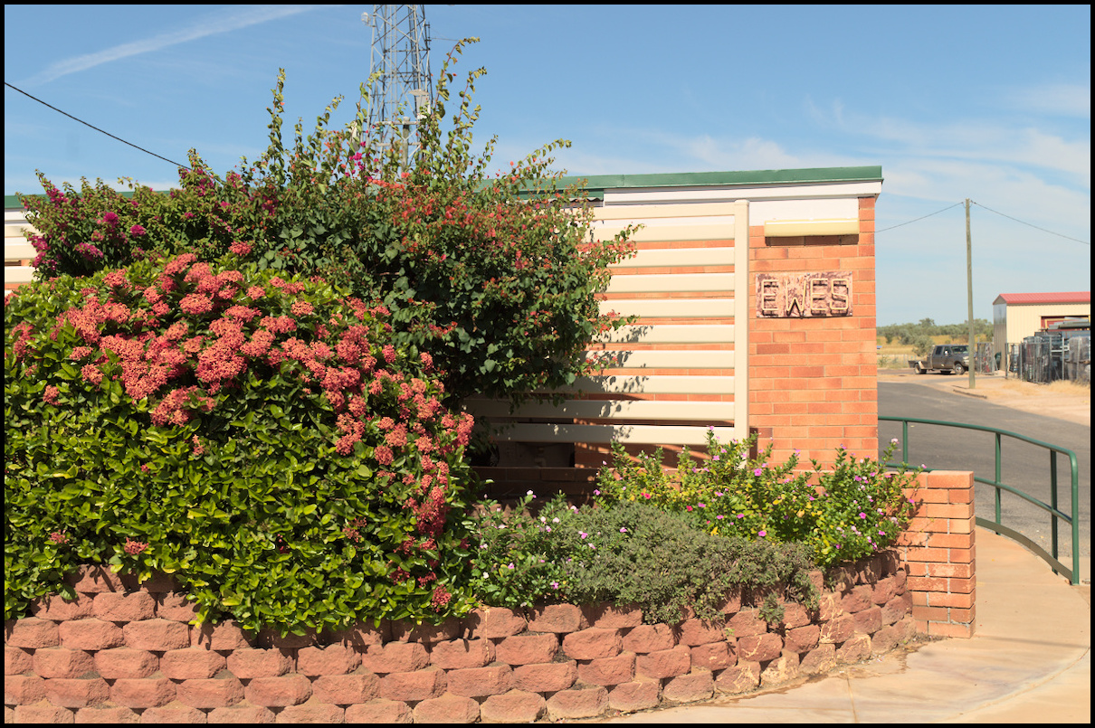
ewes
nice bin cutouts
nice 'footprint'
groovy chairs!
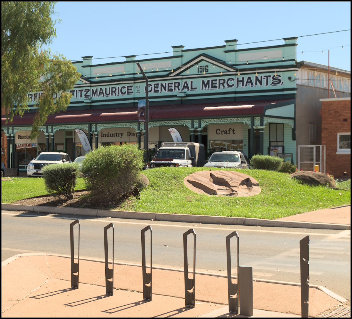
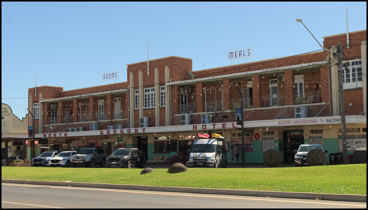
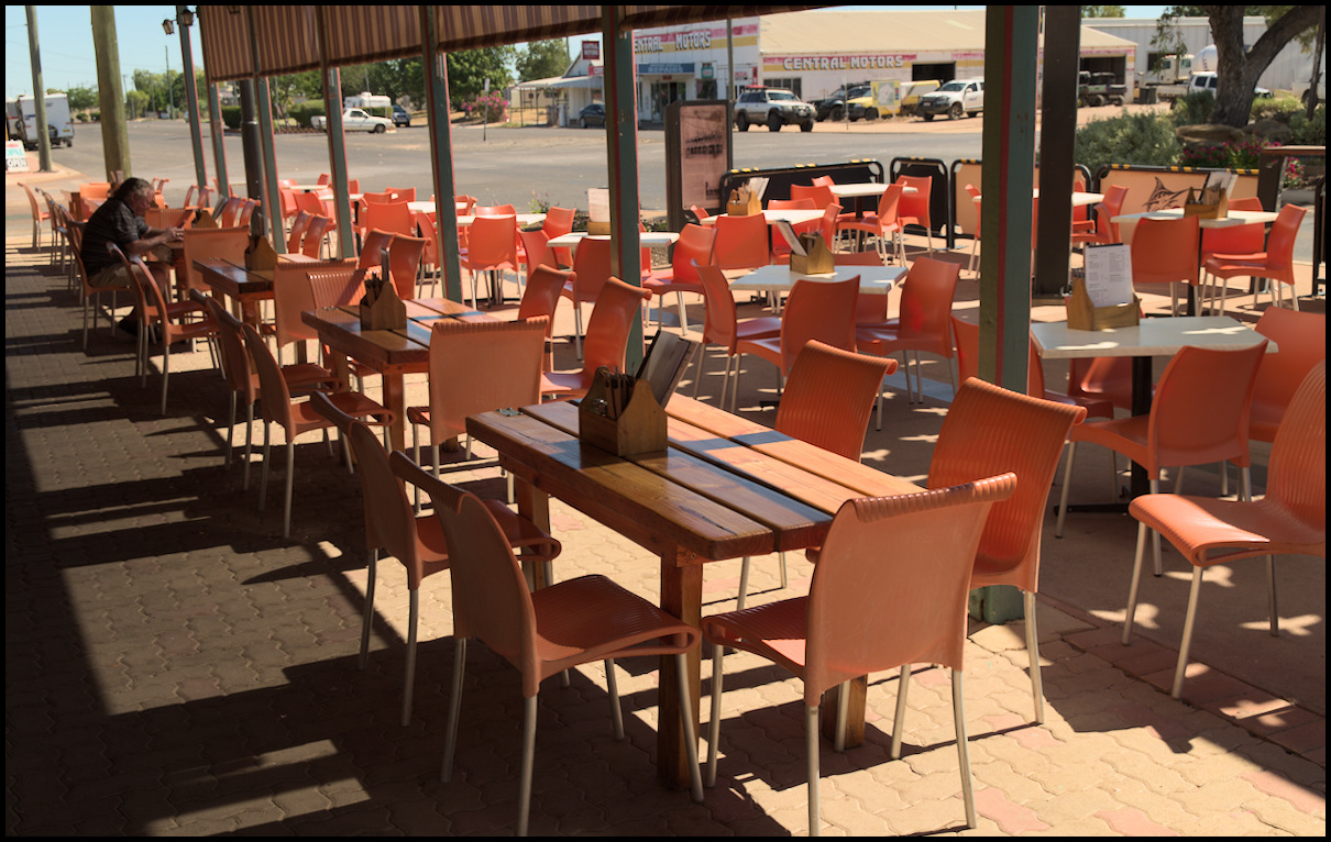
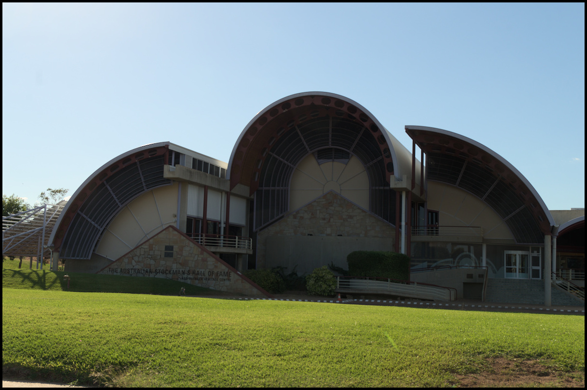
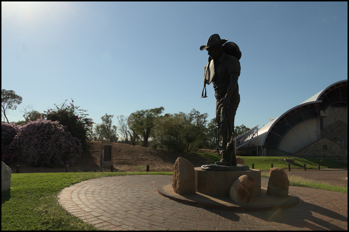
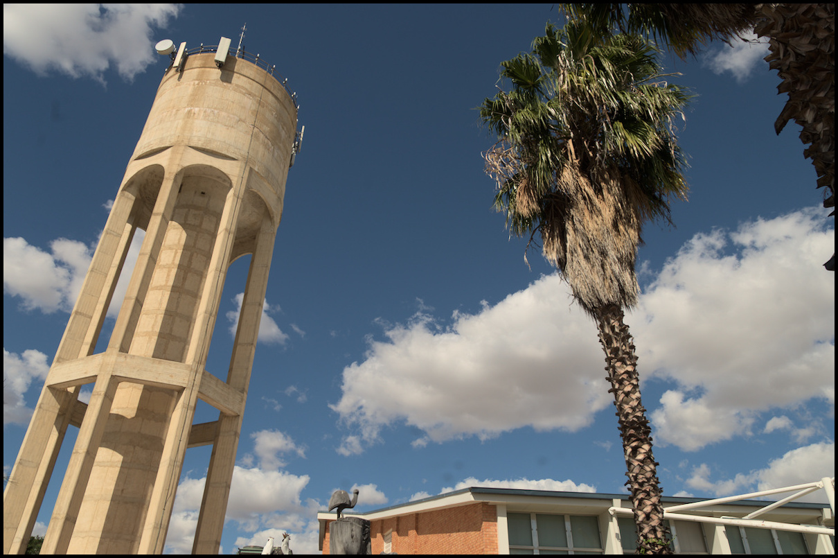
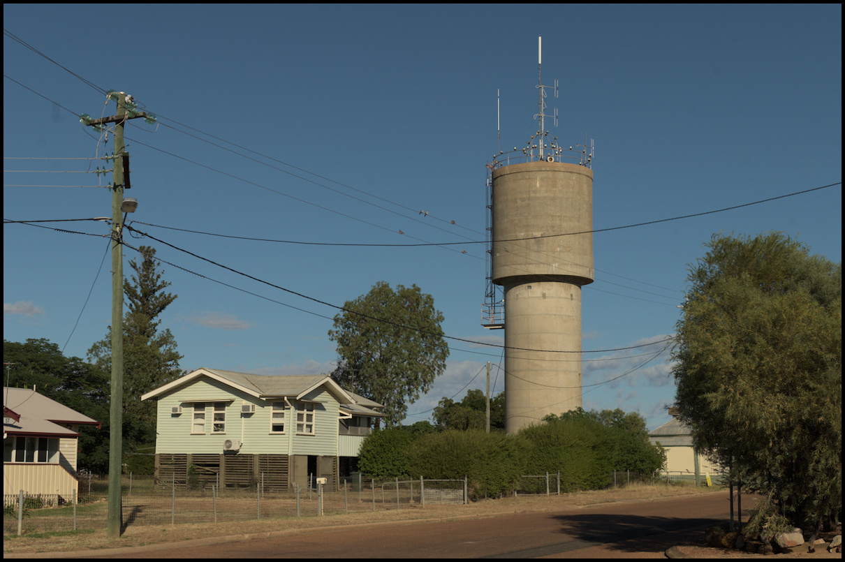
Day 10 was still in Longreach - with a visit to the Stockman’s Hall of Fame in the morning and a wander through Longreach’s town centre in the afternoon.
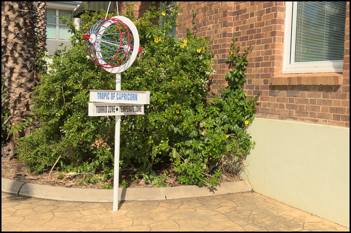
In the tropics. Apparently the Tropic is currently many metres north of this because the Tropic moves each year.
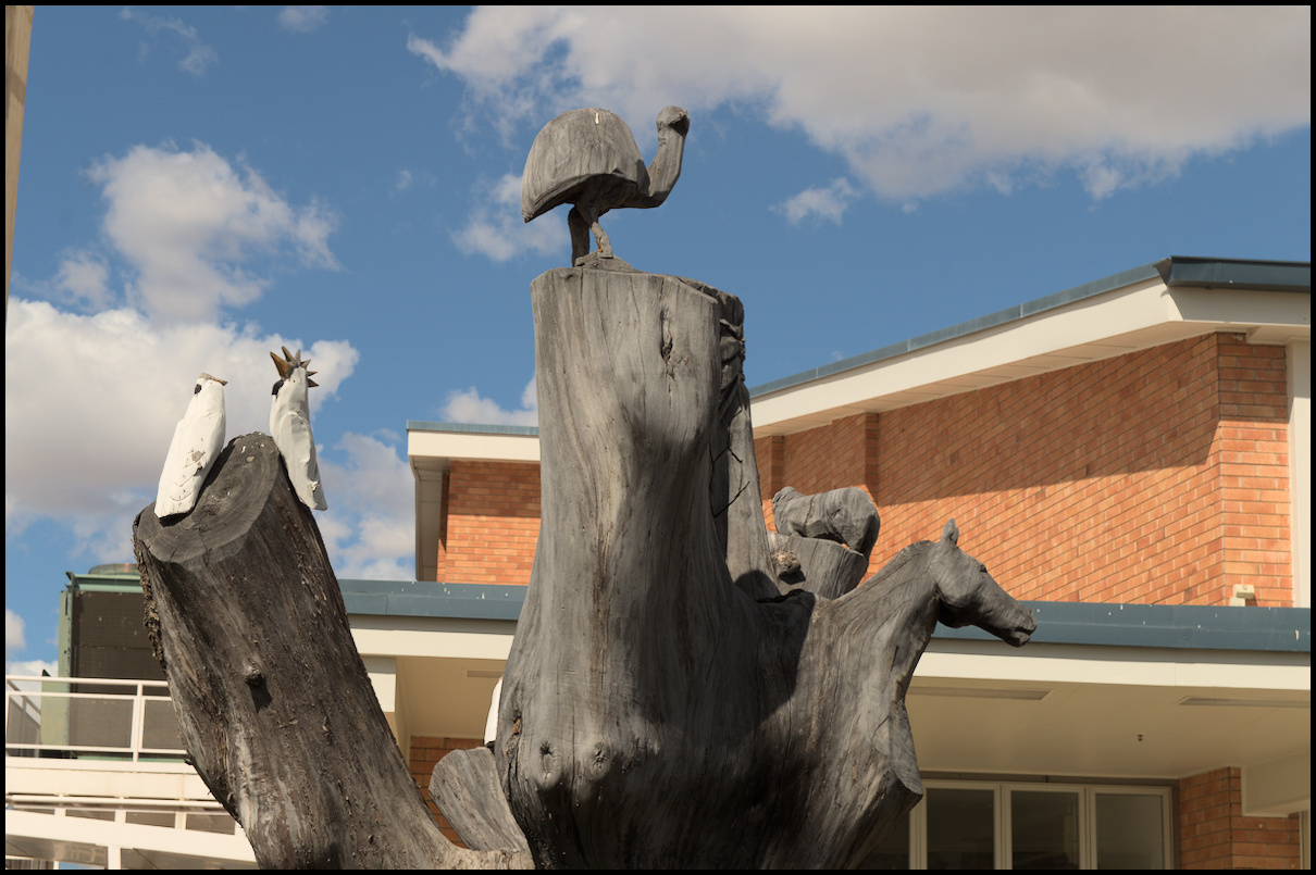
Interesting tree carving near the Council building.
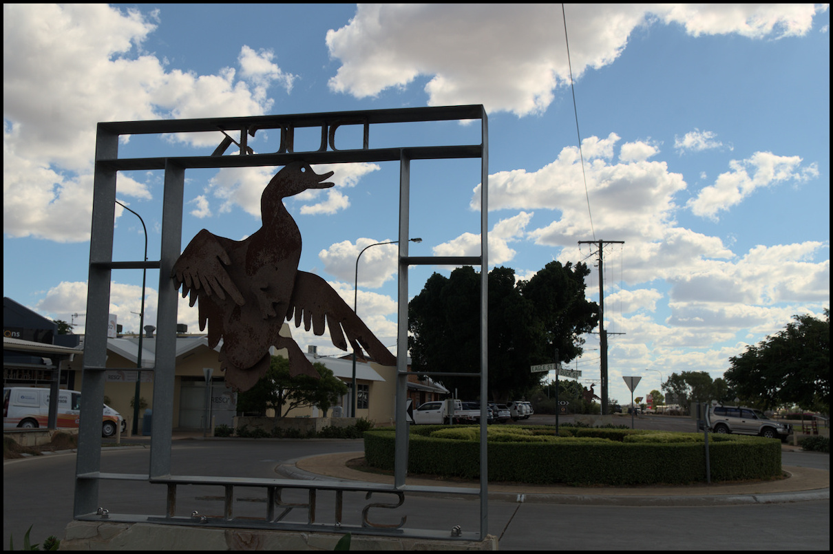
On Duck St, no less.
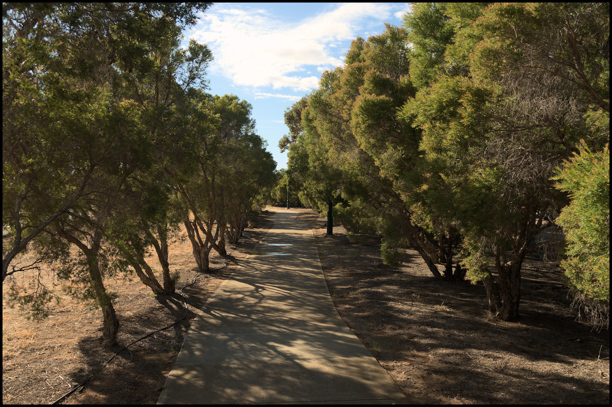
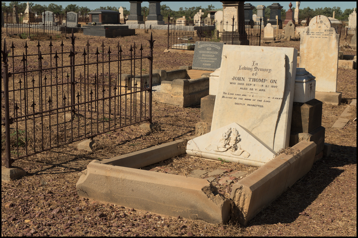
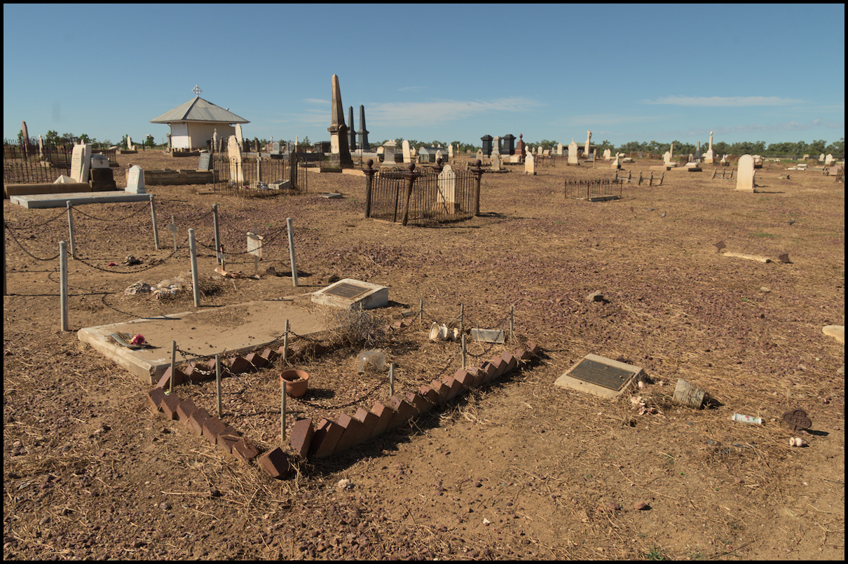
Day 9 was spent in Longreach walking part of the linear Longreach Botanic Walkway and visiting the cemetery in the morning; and seeing the QANTAS Founders Museum in the afternoon.
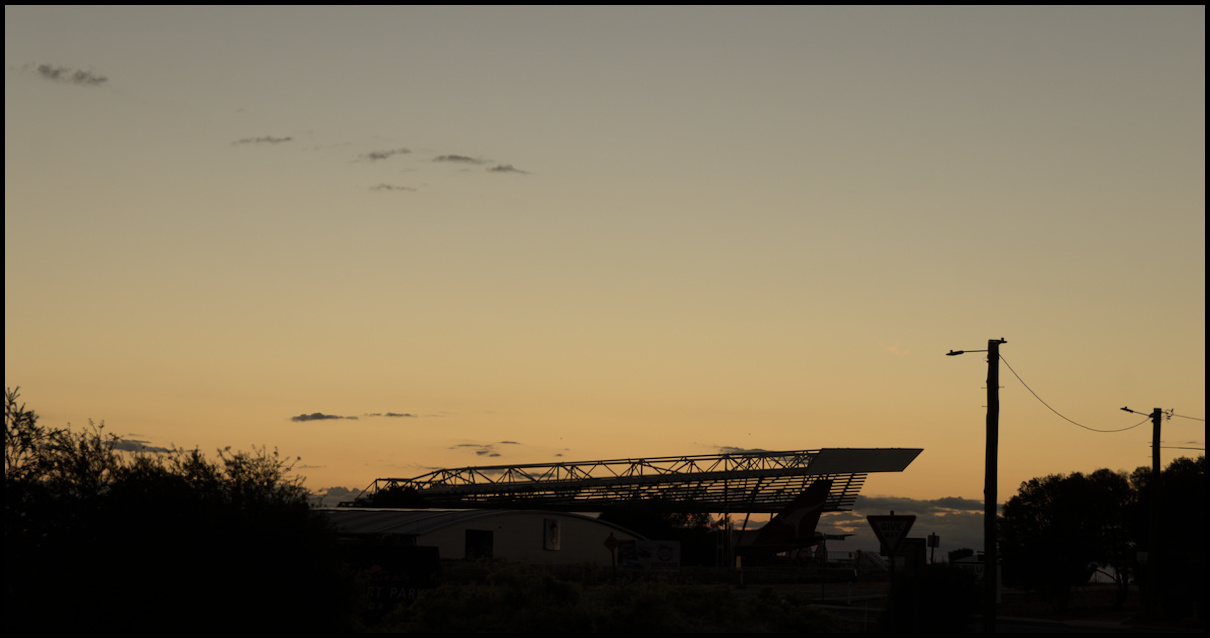
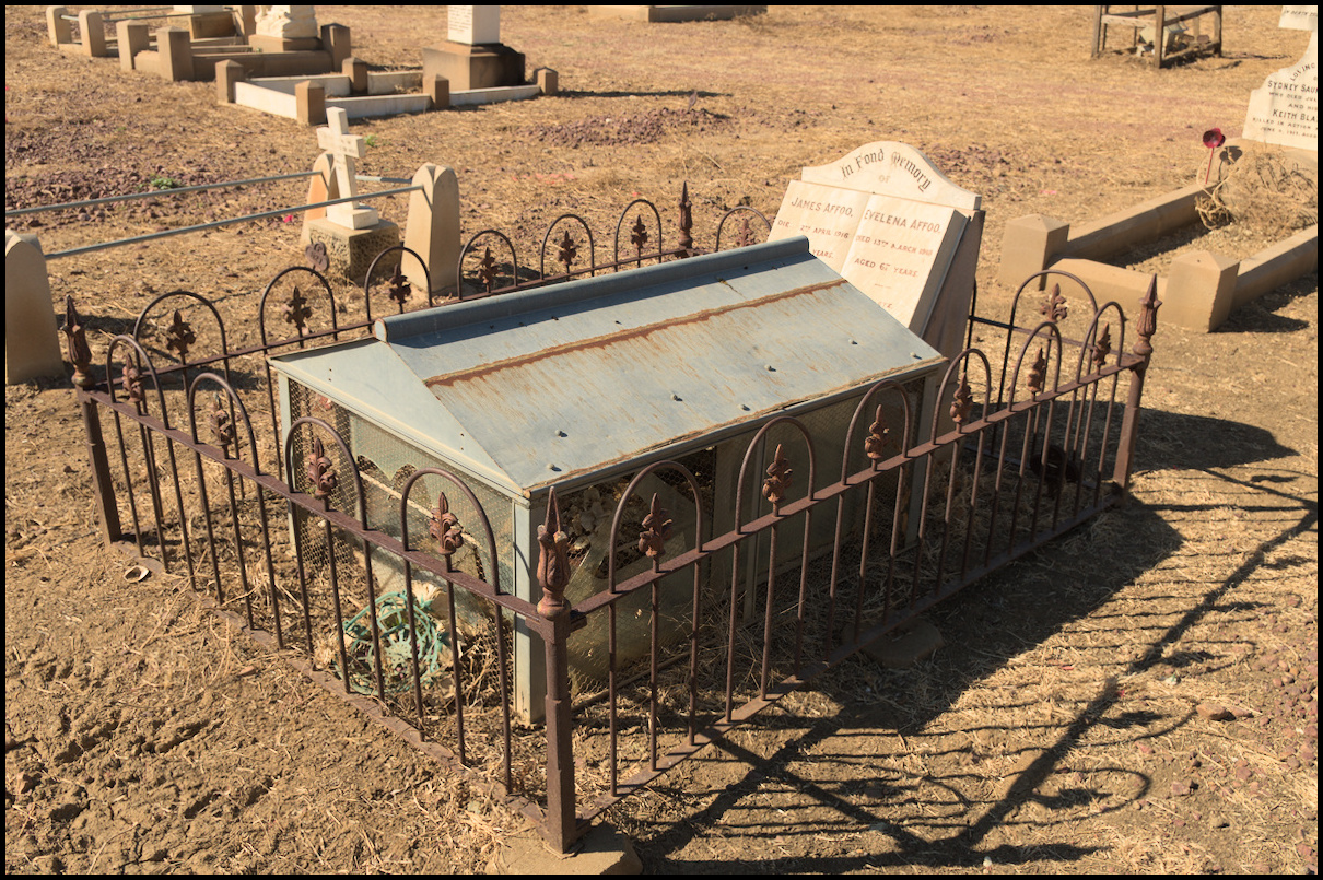
A 'reliquary' originally containing physical items in memory of the deceased.
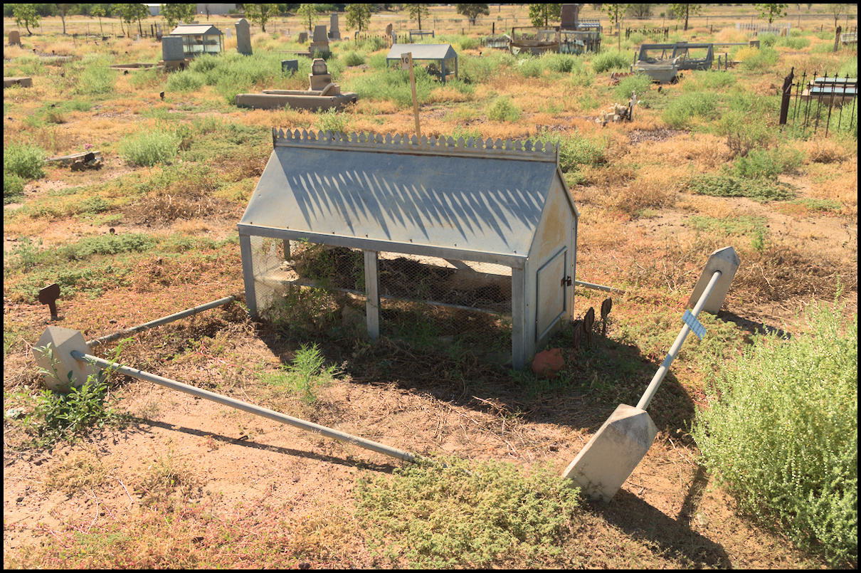
Another reliquary. They are also known as 'immortelle houses'.
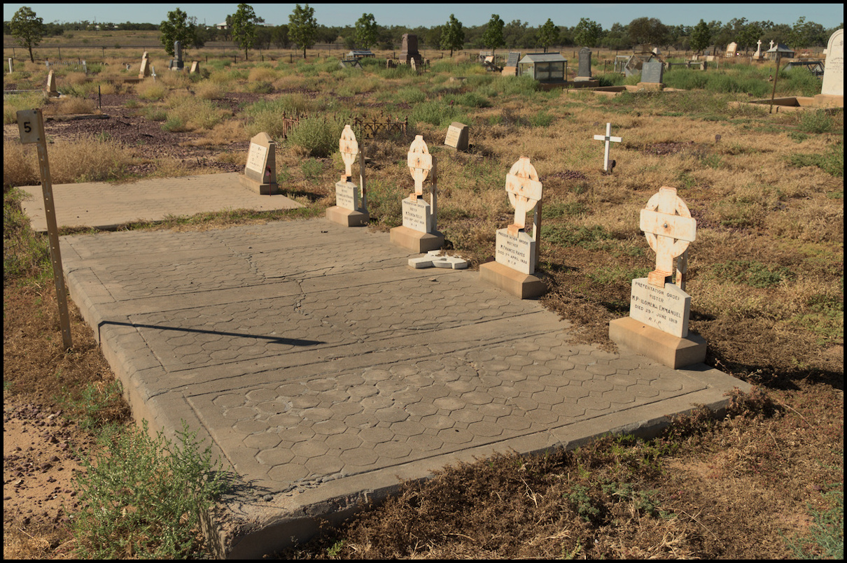
Nun's graves. The crosses were originally marble, but have been replaced by tin.
'Deeply Regretted'. I guess that's a good thing.
Day 8 was the drive from Emerald to Longreach: A cup of coffee in Alpha and a break in Barcaldine to view the Tree of Knowledge. I don’t know when the tree was so named, and if the biblical half-reference was intended or not. This was our second tree visitation of the trip. One more to come!
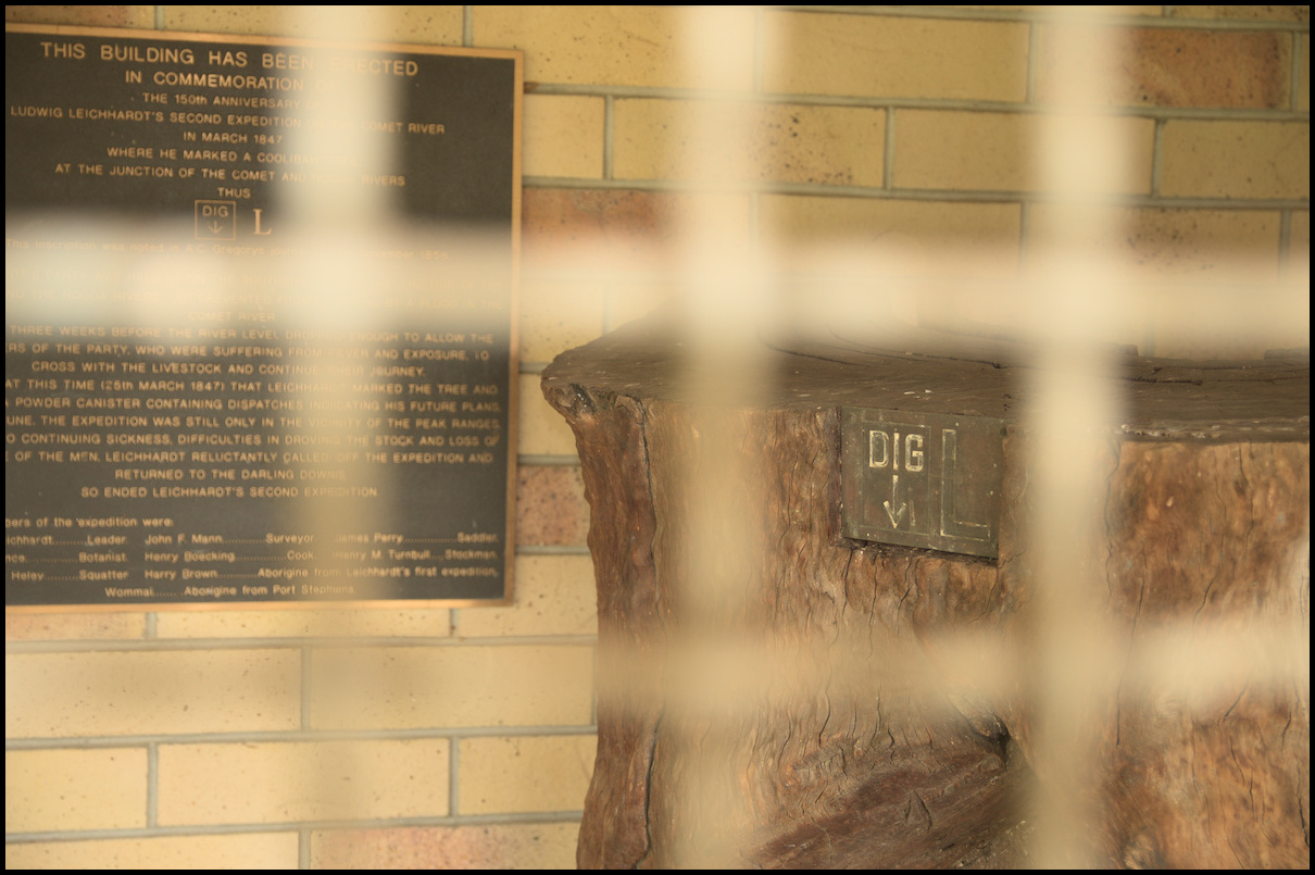
Day 7 saw us heading west towards our primary destinations of Longreach and Winton. Our overnight stop about half way was Emerald, but a little before Emerald is the small town of Comet which houses the Dig Tree carved by Ludwig Leichhardt in 1847. The tree was originally at the intersection of the Comet and Nogoa Rivers some seven kilometres north of its current location.
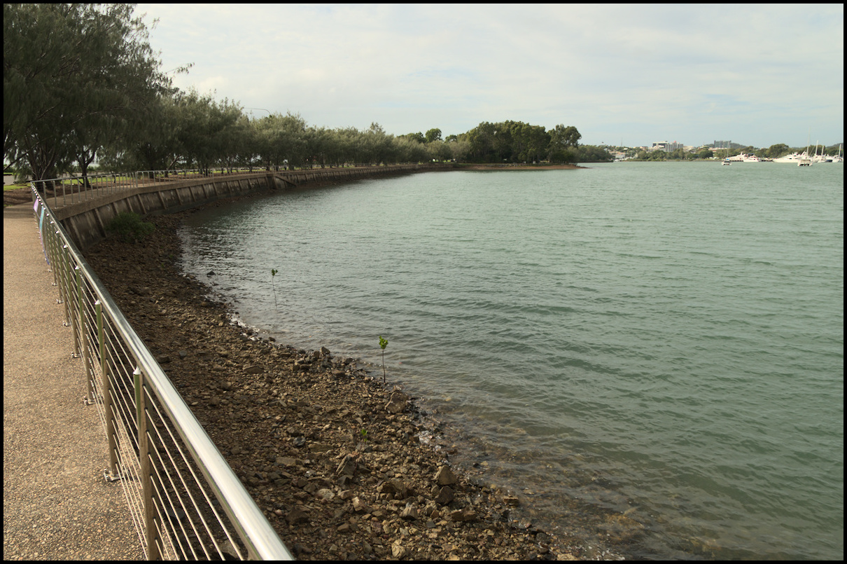
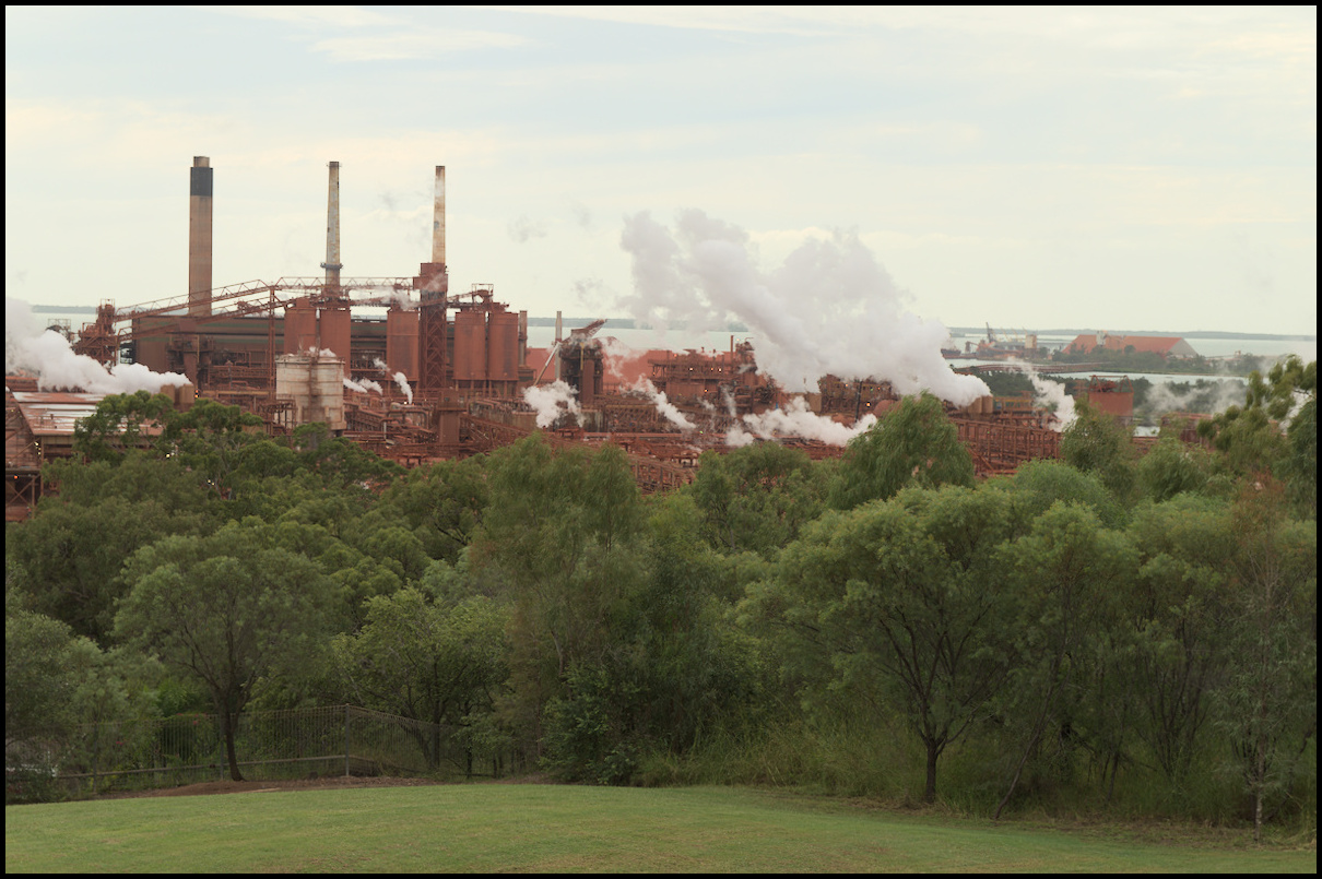
Day 6 was spent in Gladstone - spending time in Spinnaker Park in the morning and the Botanic Gardens in the afternoon.
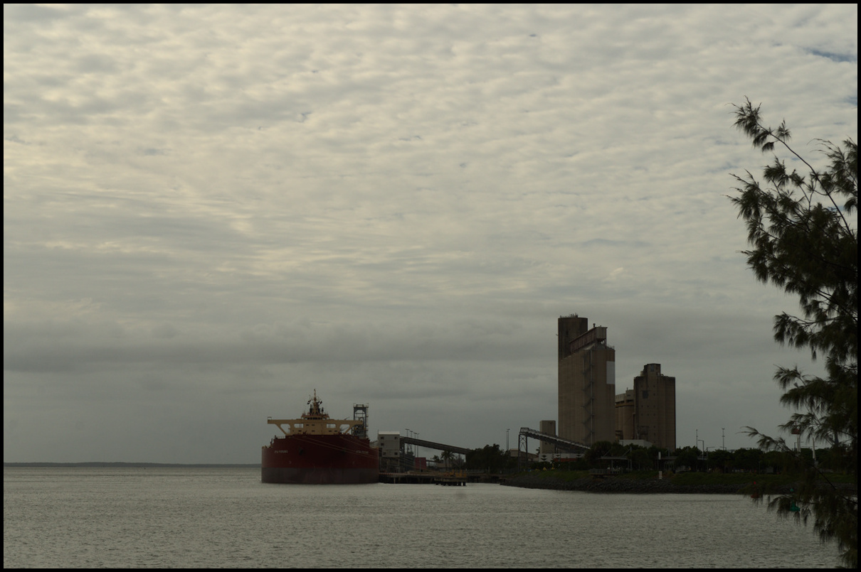
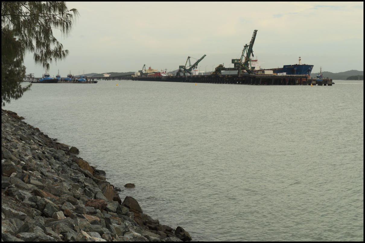
From what I can ascertain, this is the site of the original 'Gladstone Pier'
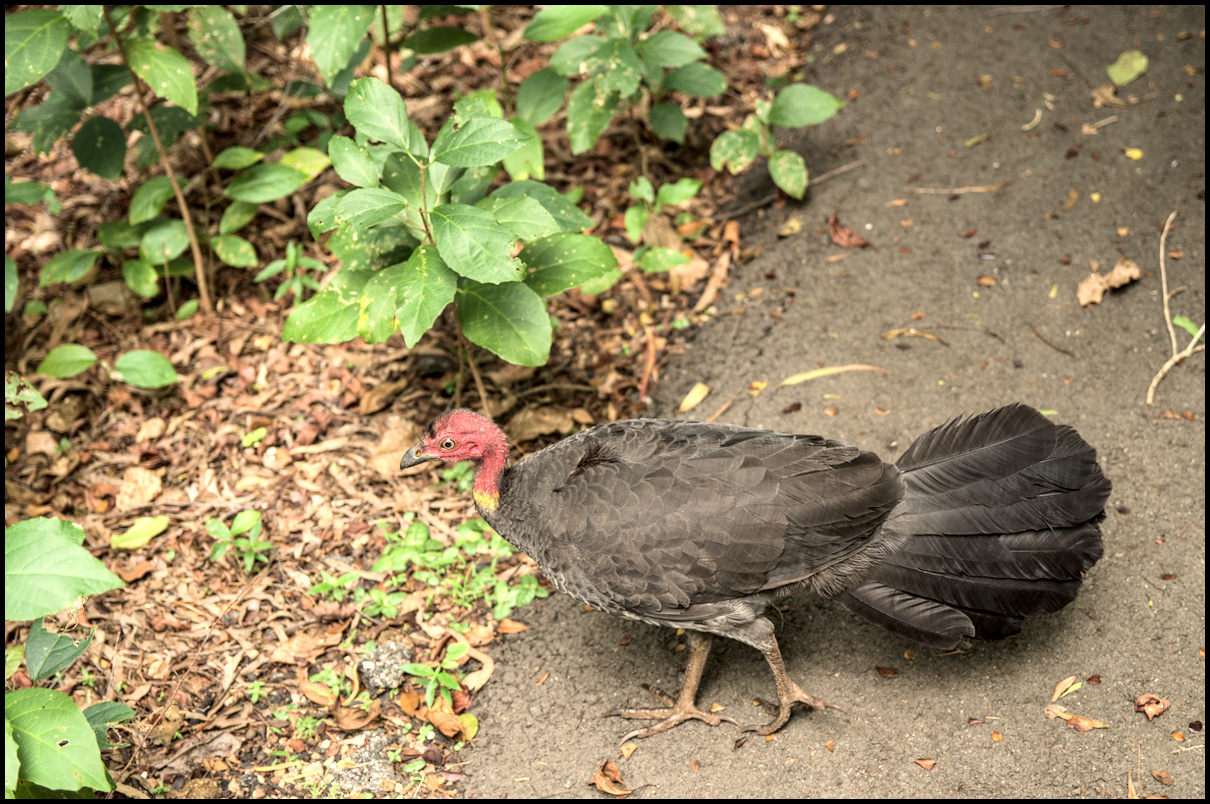
Brush Turkey 'friend'
Oops. Corrected on the other side!
Day 5 saw us driving from the Sunshine Coast to Gladstone. It was overcast most of the day with frequent rain.
We stopped for a morning coffee in Childers (opposite the site of the infamous Backpackers Hostel fire of 2000 when 15 people were killed).
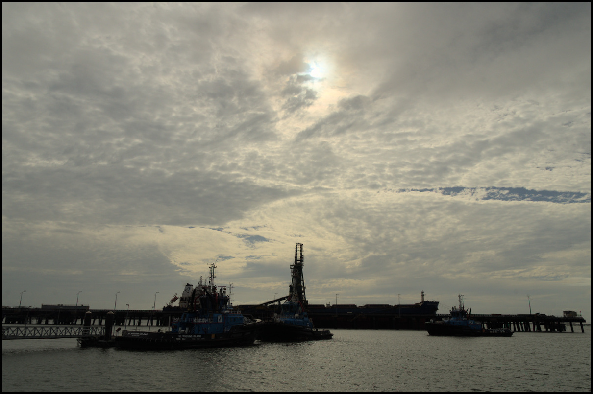
After our arrival in Gladstone we stopped near Matthew Flinders bridge (a ‘bascule’ bridge) in Port Park and took some photos in the light drizzle.
Day 4 began with a trip to the Eumundi Markets followed by a look around Coolum and an afternoon stroll around Noosa Heads. It’s a tough life, but someone’s got to do it!
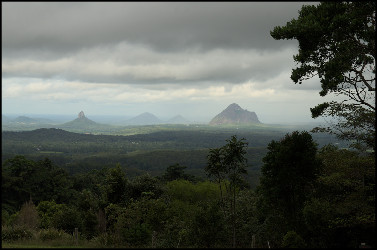
Day 3 of a recent holiday saw us take in Maleny, the Glasshouse Mountains and Caloundra.
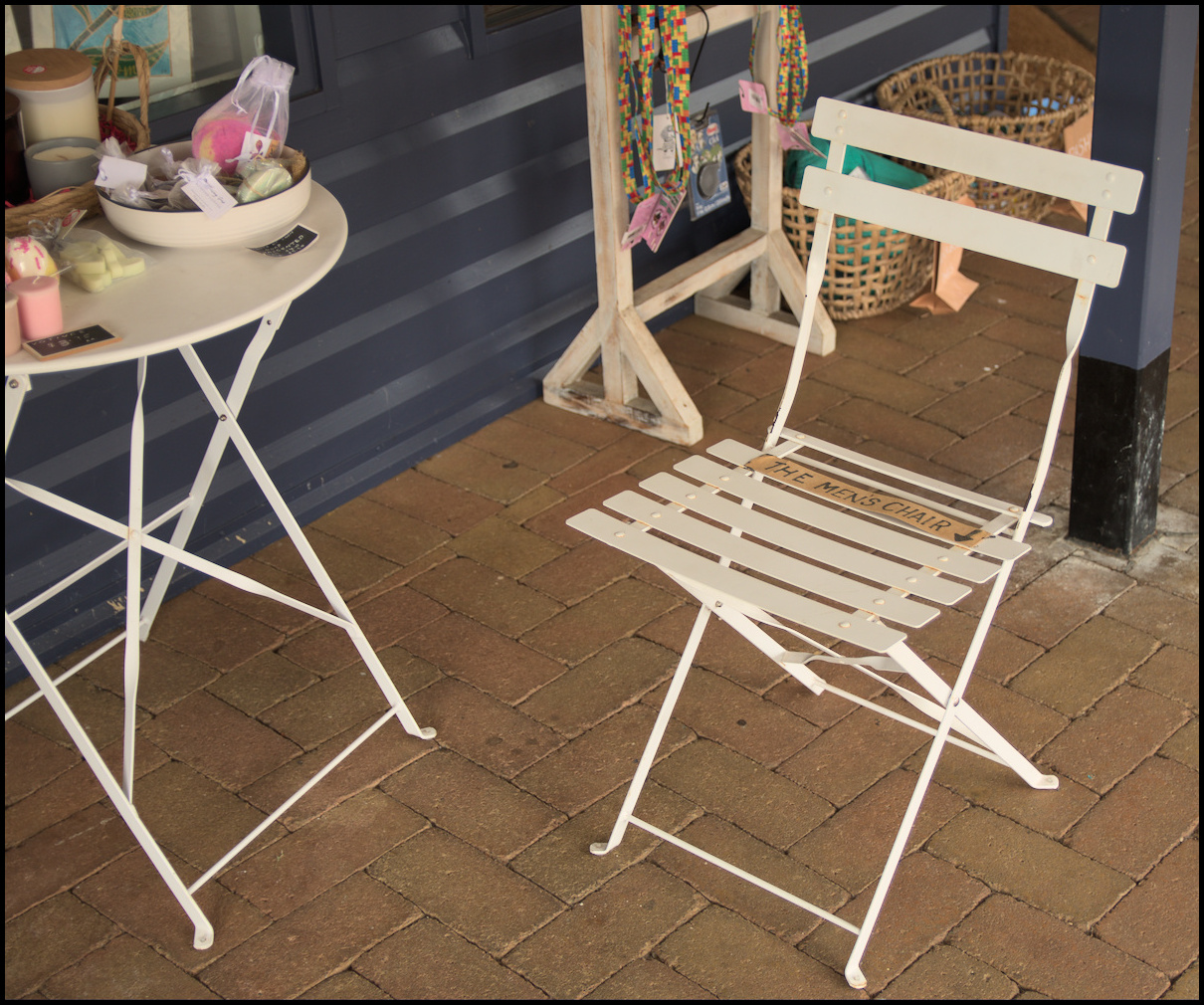
The Men's Chair in Maleny. I didn't need it.
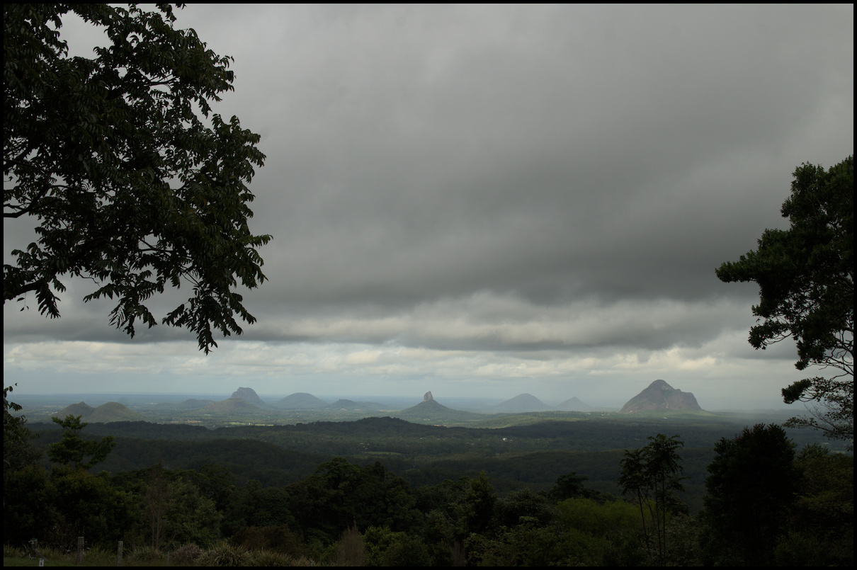
Glasshouse Mountains from a distance through some fog
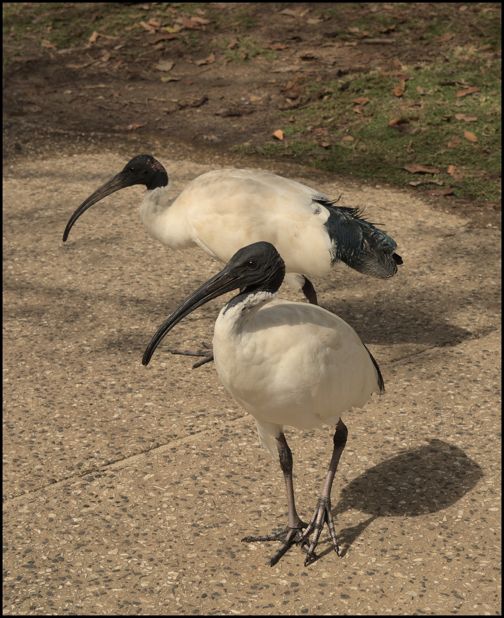
Caloundra 'friends'
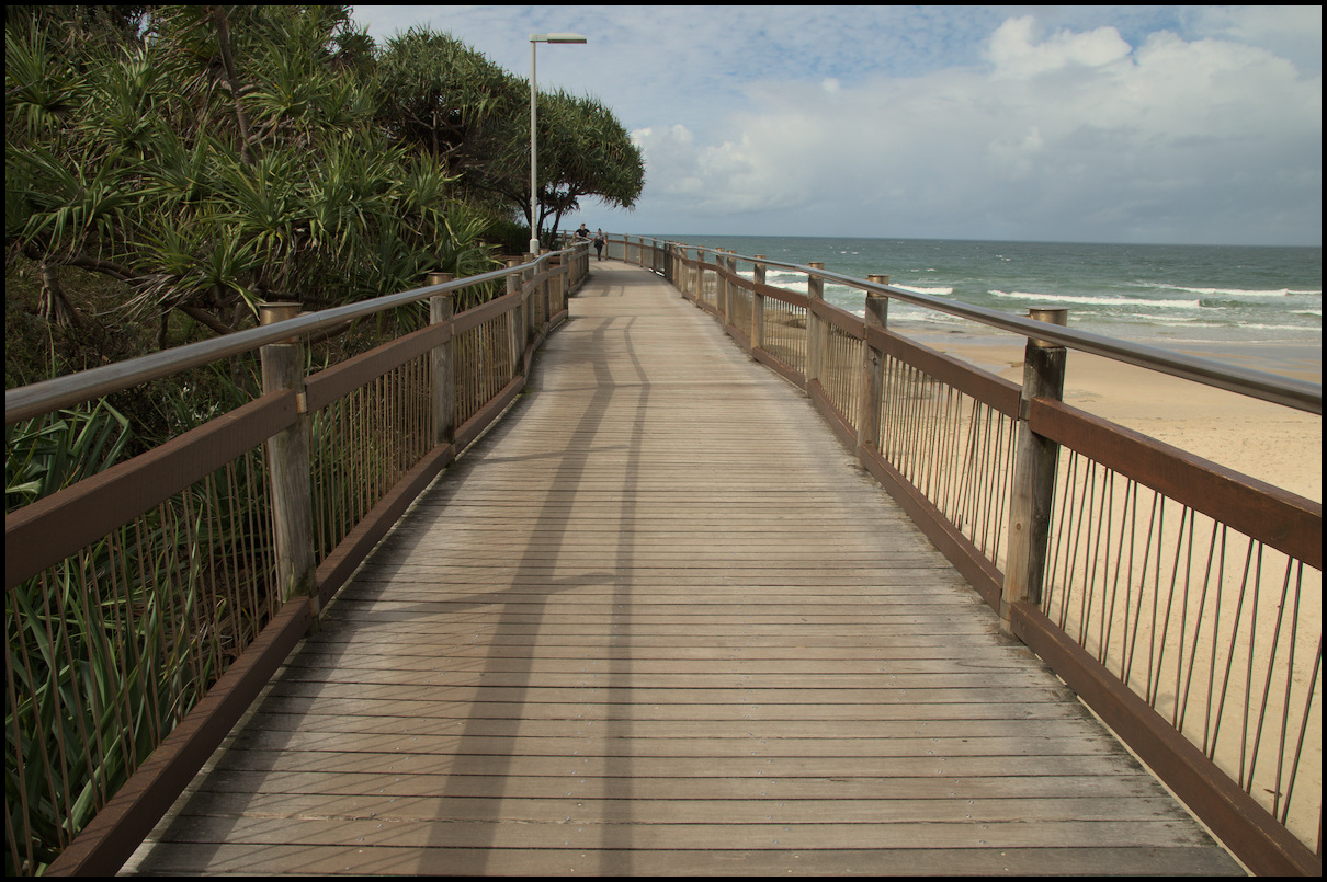
Caloundra boardwalk at the 'Happy Valley Foreshore Reserve'
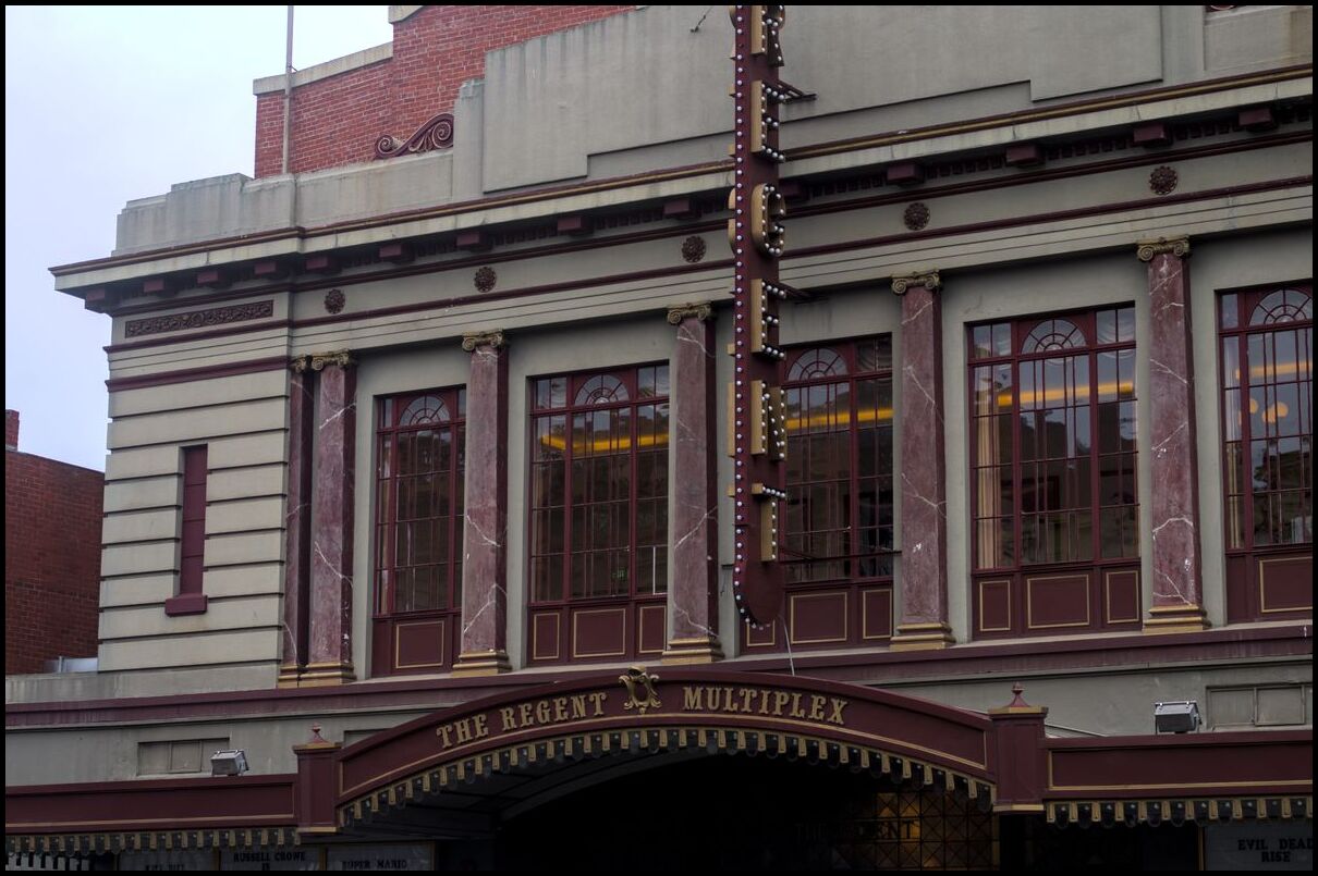
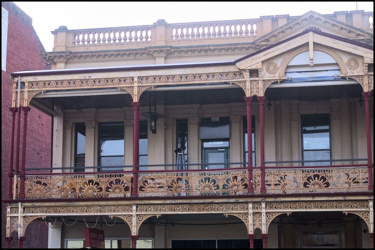
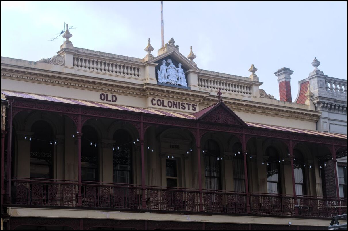
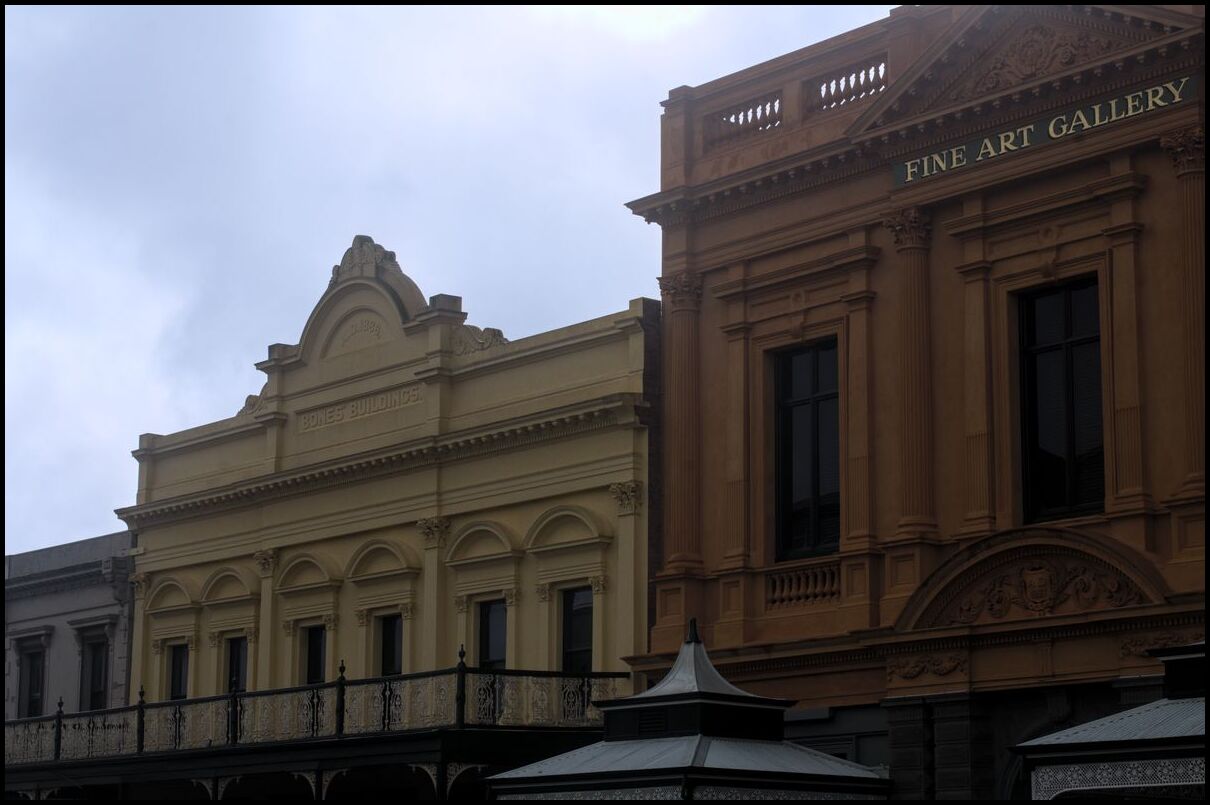
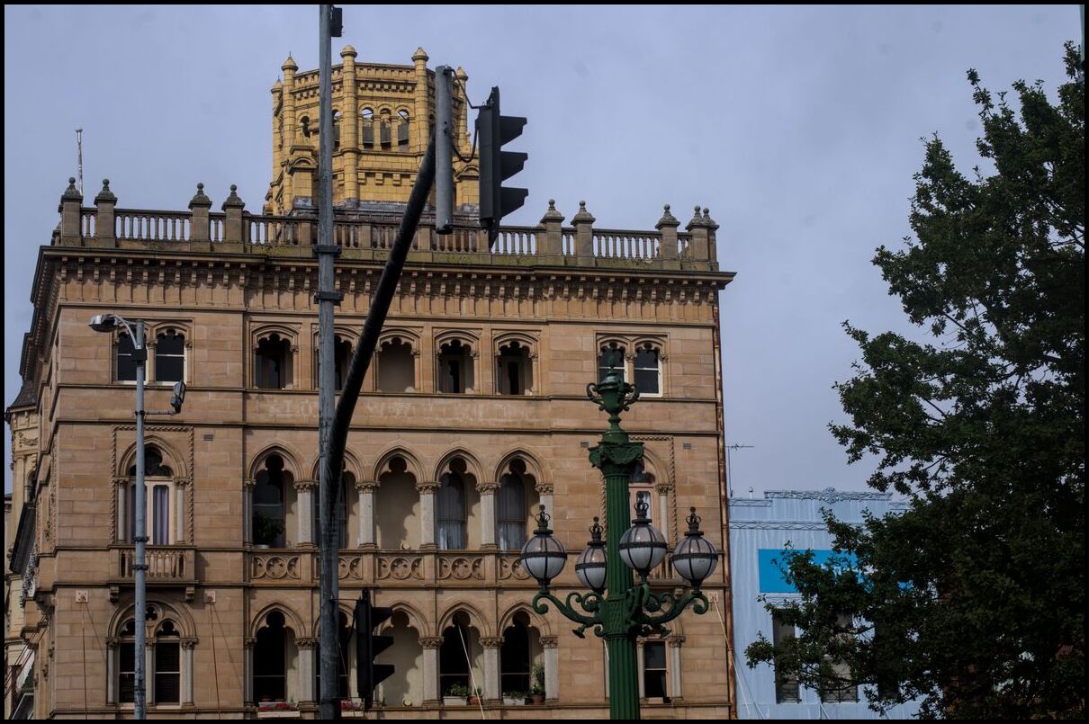
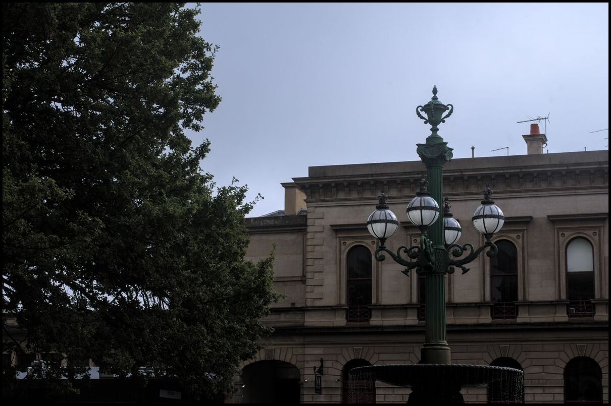
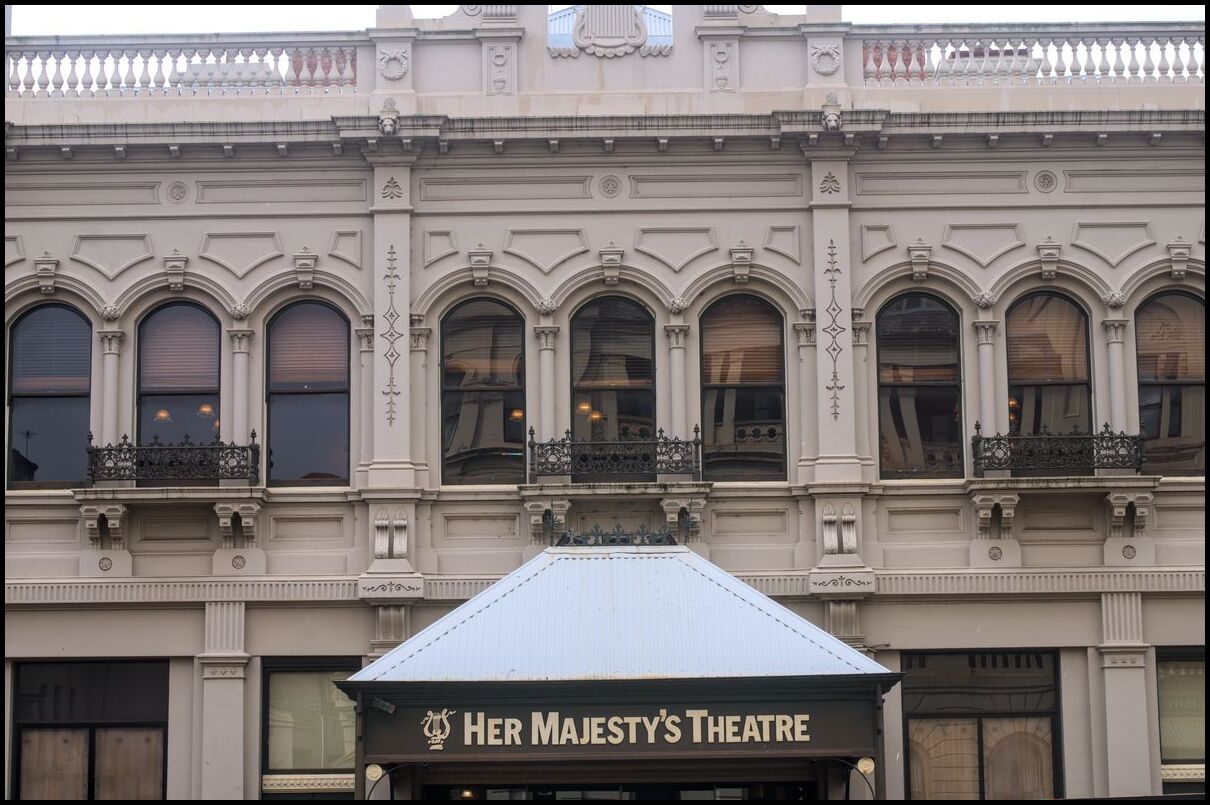
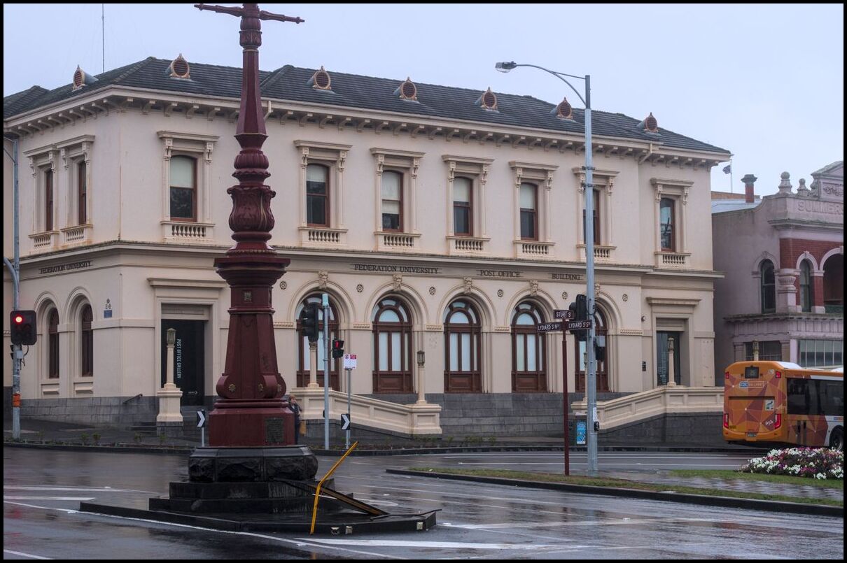
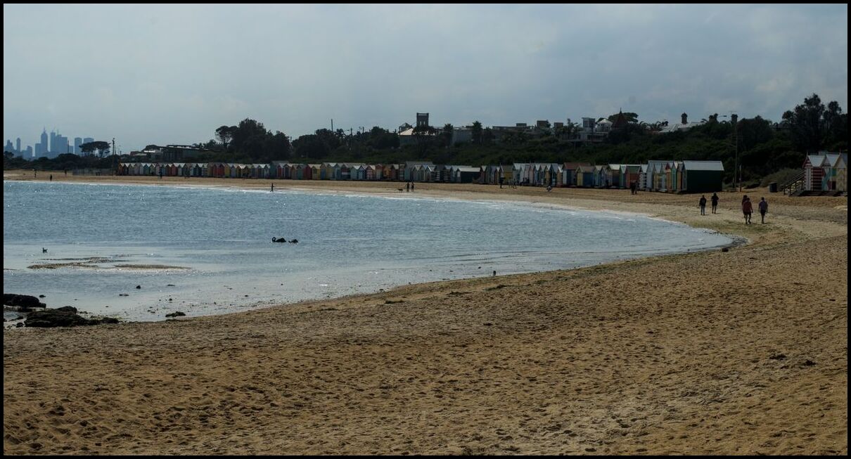
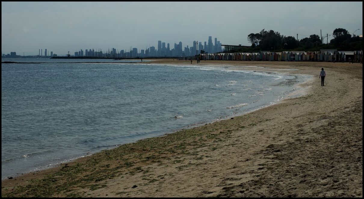
Day 15 and the last day of photos from our trip. We left Melbourne and headed for Ballarat with a view to spending some hours there before heading off to Bendigo. Drizzly rain in Ballarat hampered our sightseeing, but we did spend some time in the famous Lydiard St and had lunch by Lake Wendouree before travelling to Bendigo and having a look around there.
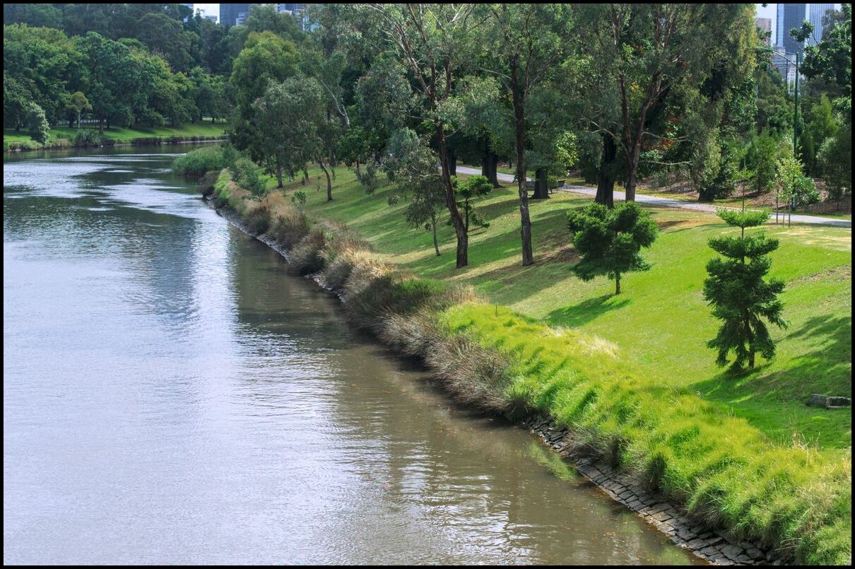
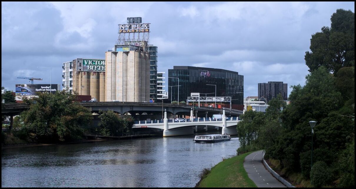
Day 14 was spent in Melbourne - wandering around South Yarra and the Yarra River with views of AAMI Park and the MCG.
Punt Road bridge over the Yarra
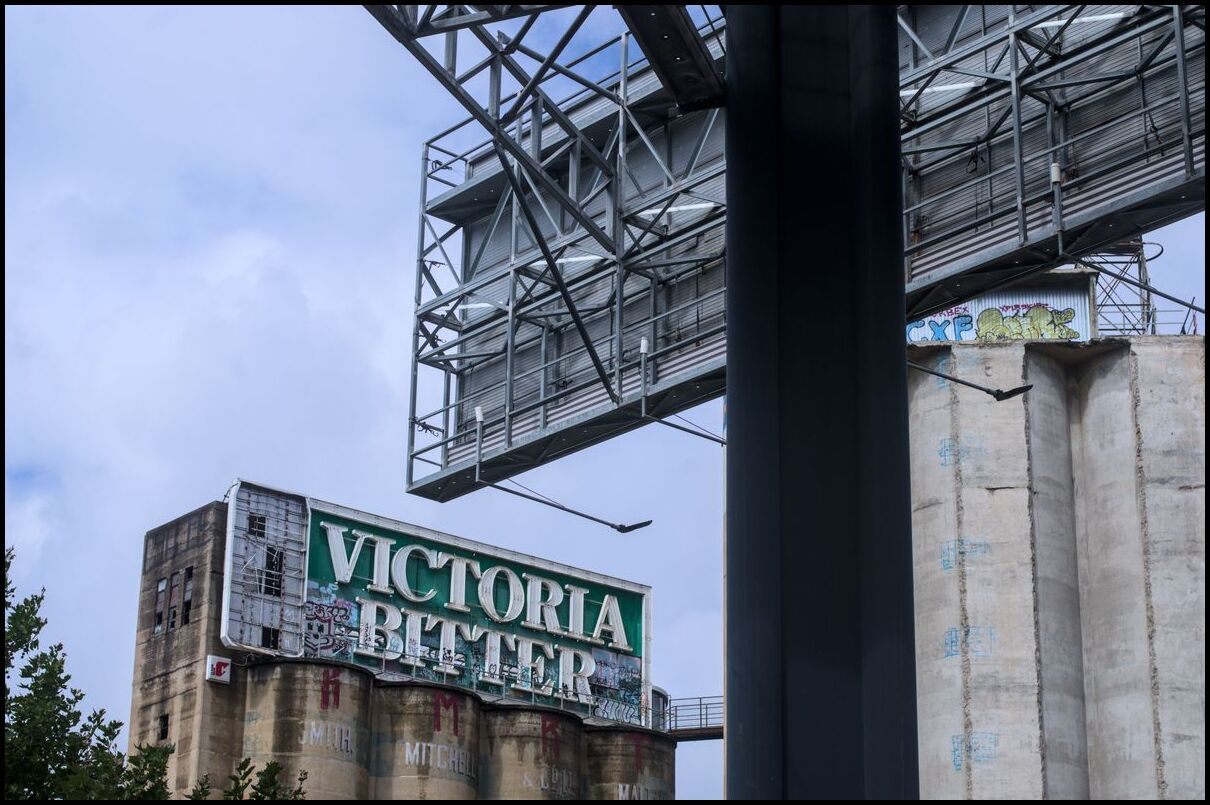
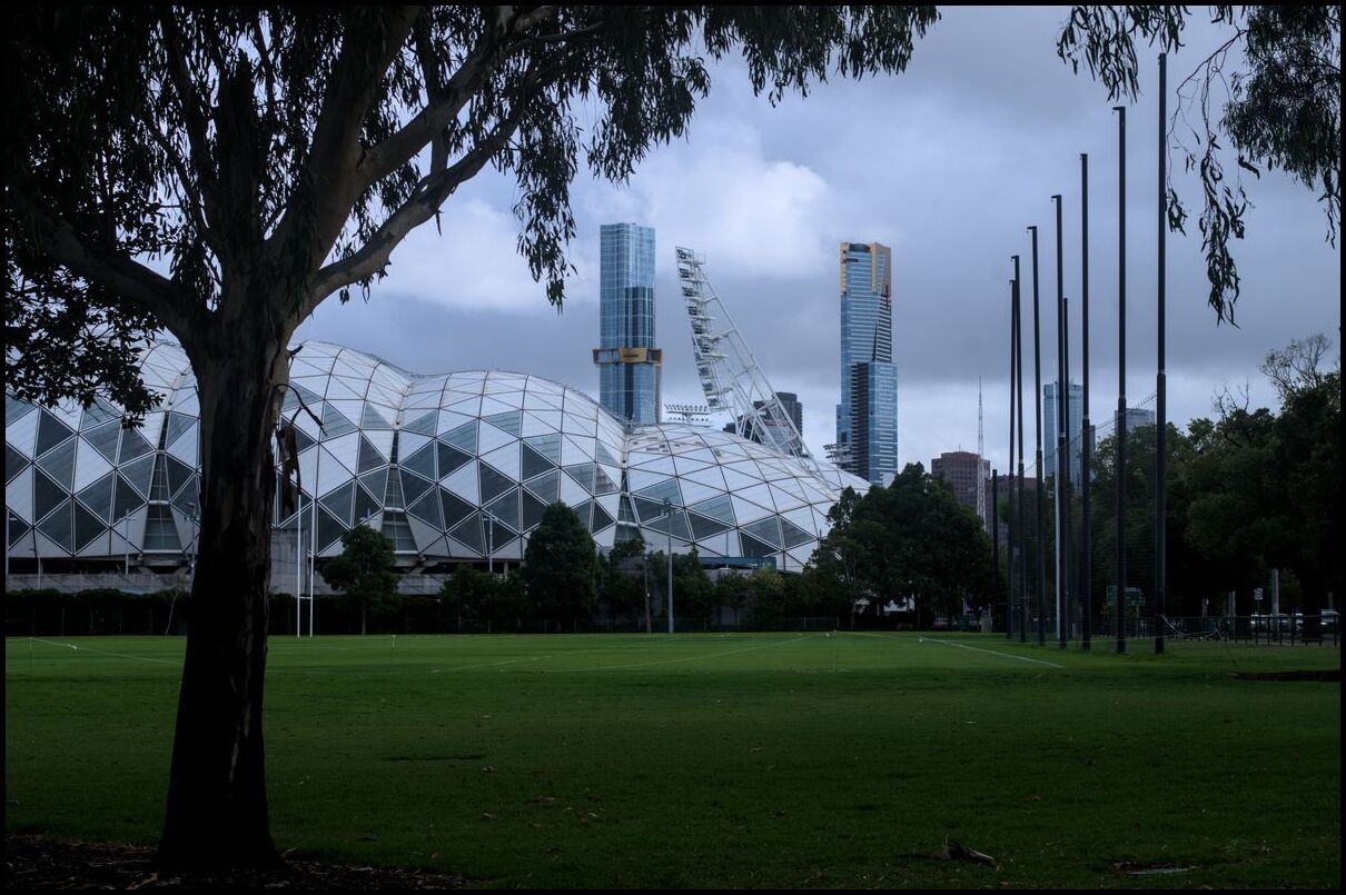
AAMI Park
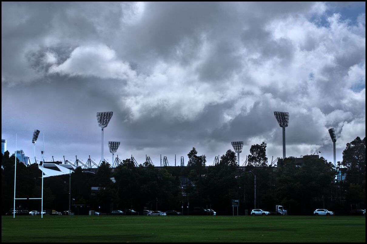
the 'G'
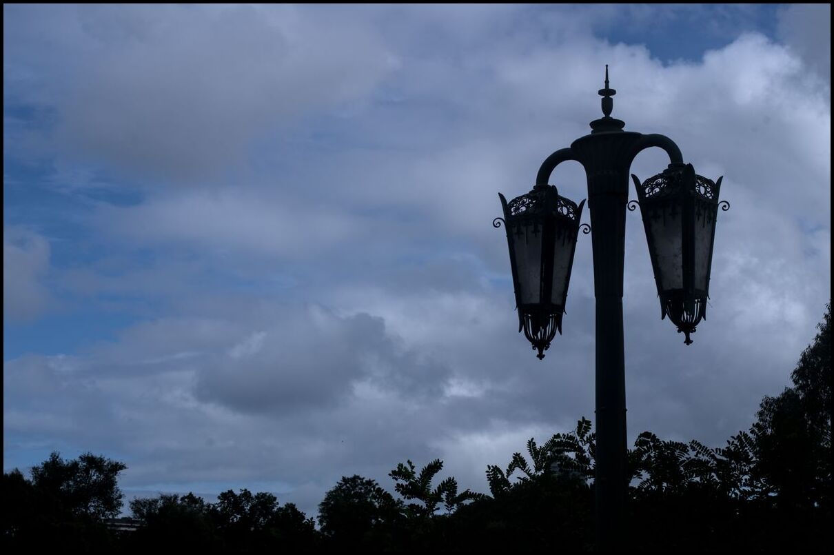
overflow
Day 12 was rainy and grey and so the few photos taken that day aren’t worthy of broadcast.
Day 13 was spent heading south from Melbourne to Brighton then on to the Mornington Peninsula.


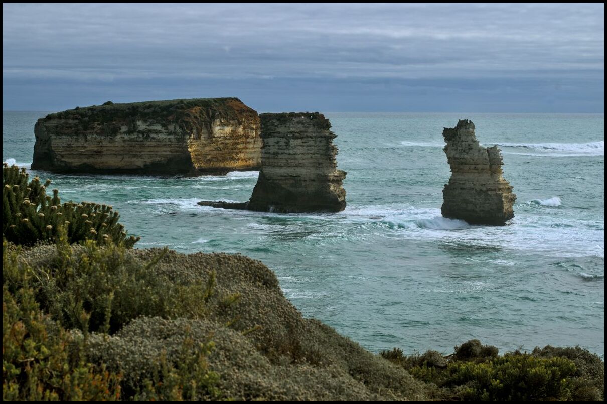
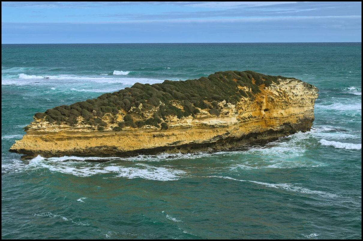
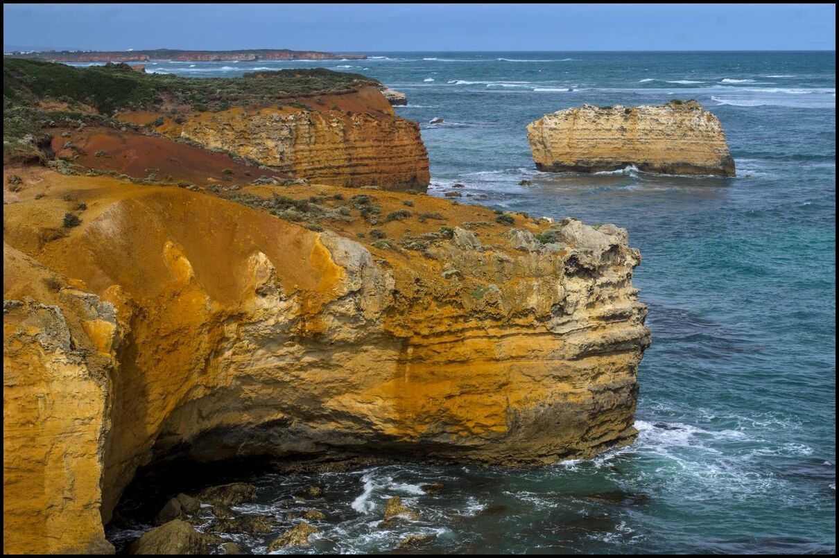
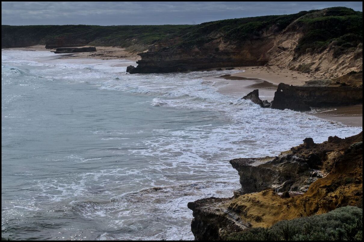
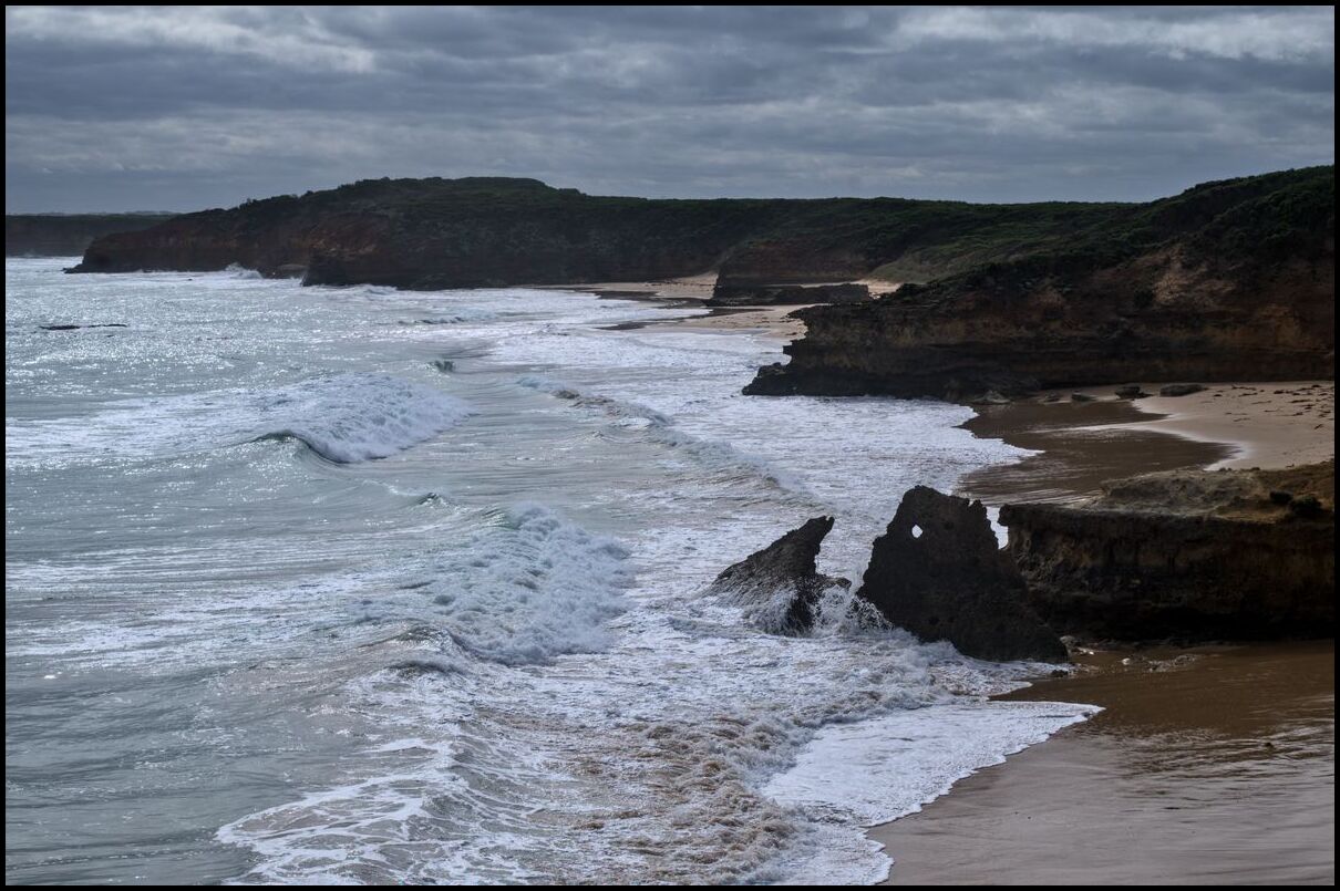
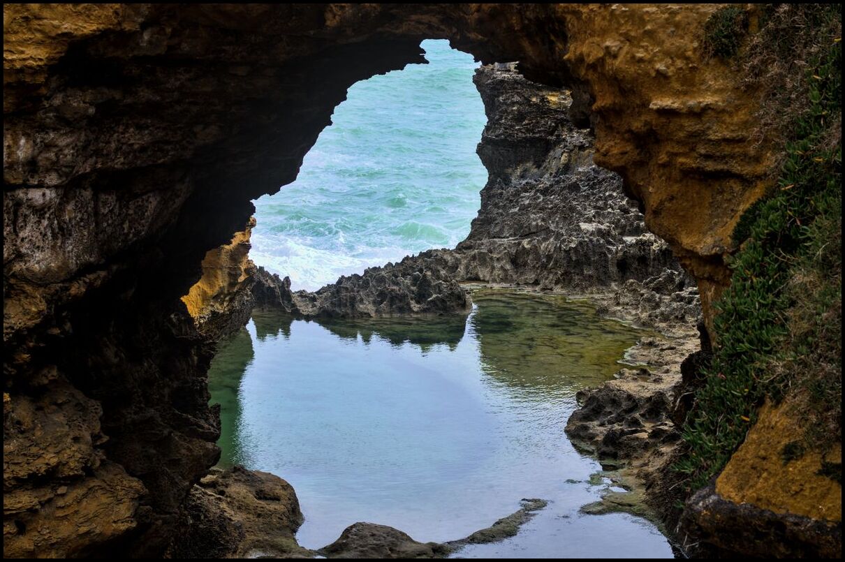
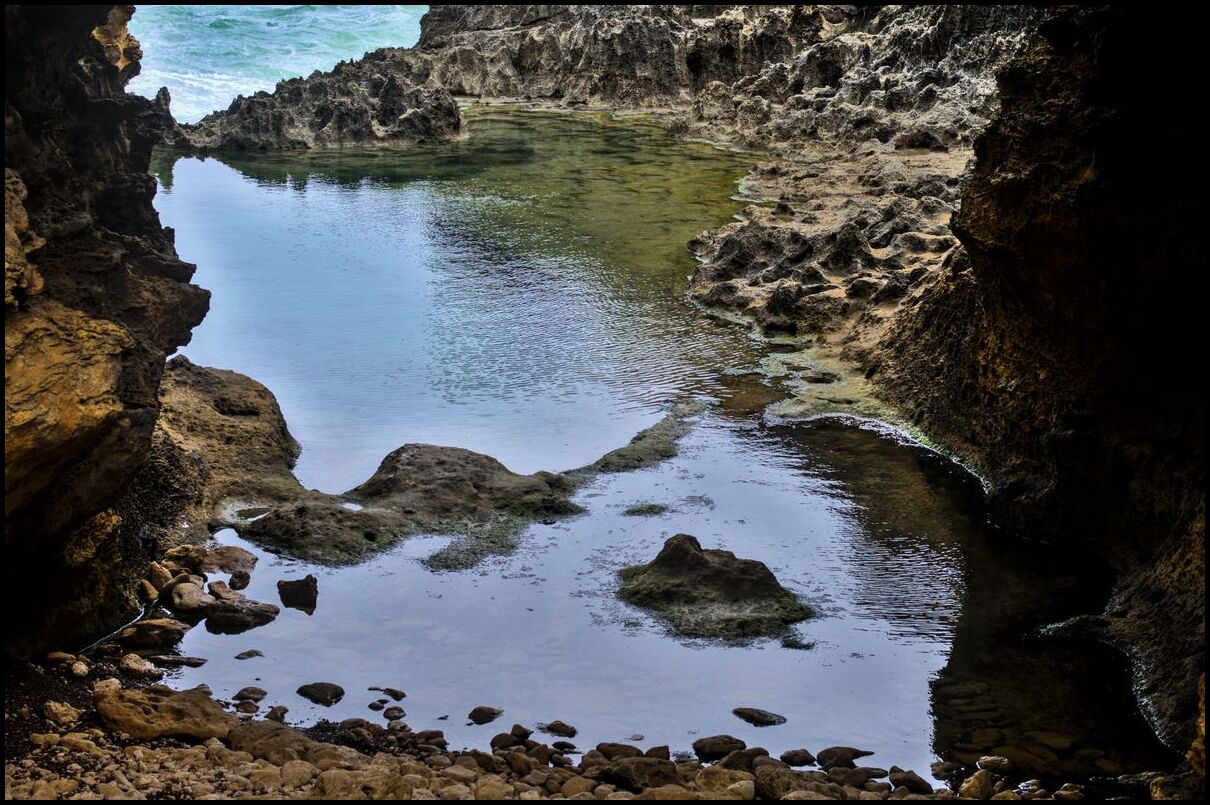
Day 11 began in Port Campbell and finished in Melbourne. The highlights along the way were the Loch Ard Gorge, the Twelve Apostles, and the sheer pleasure of driving (or being a passenger) along the Great Ocean Road.
Loch Ard Gorge was named after a shipwreck in 1878. Of the 54 souls on board only two survived. I believe the ship ran agroud on the rock shelf on the far left hand side of photo eight, below.
Day 10 saw us traversing the first quarter of the Great Ocean Road to Port Campbell. We began with an early morning visit to the Umpherston Sinkhole followed by visits to the Bay of Islands, Bay of Martyrs, The Grotto and London Bridge before arriving in Port Campbell for the afternoon and evening.
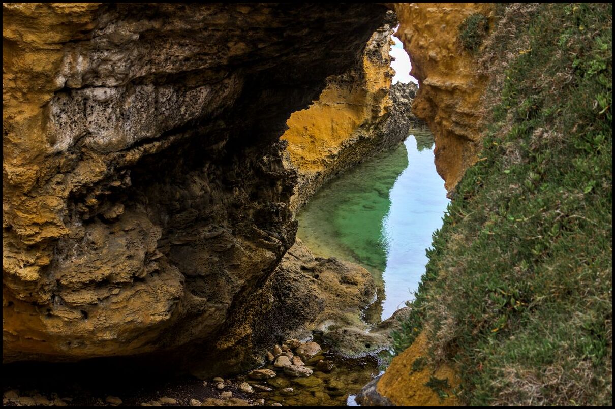
Day 10 began in Mt Gambier and saw us traverse the first quarter of the Great Ocean Road to Port Campbell. In Mt Gambier we began with a walk into the Umpherston Sinkhole before stopping to view the Bay of Islands, Bay of Martyrs, The Grotto and London Bridge before arriving in Port Campbell for the afternoon/evening.
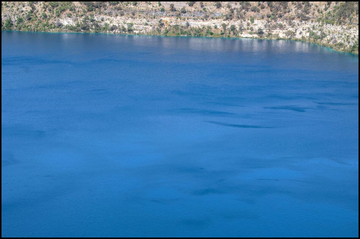


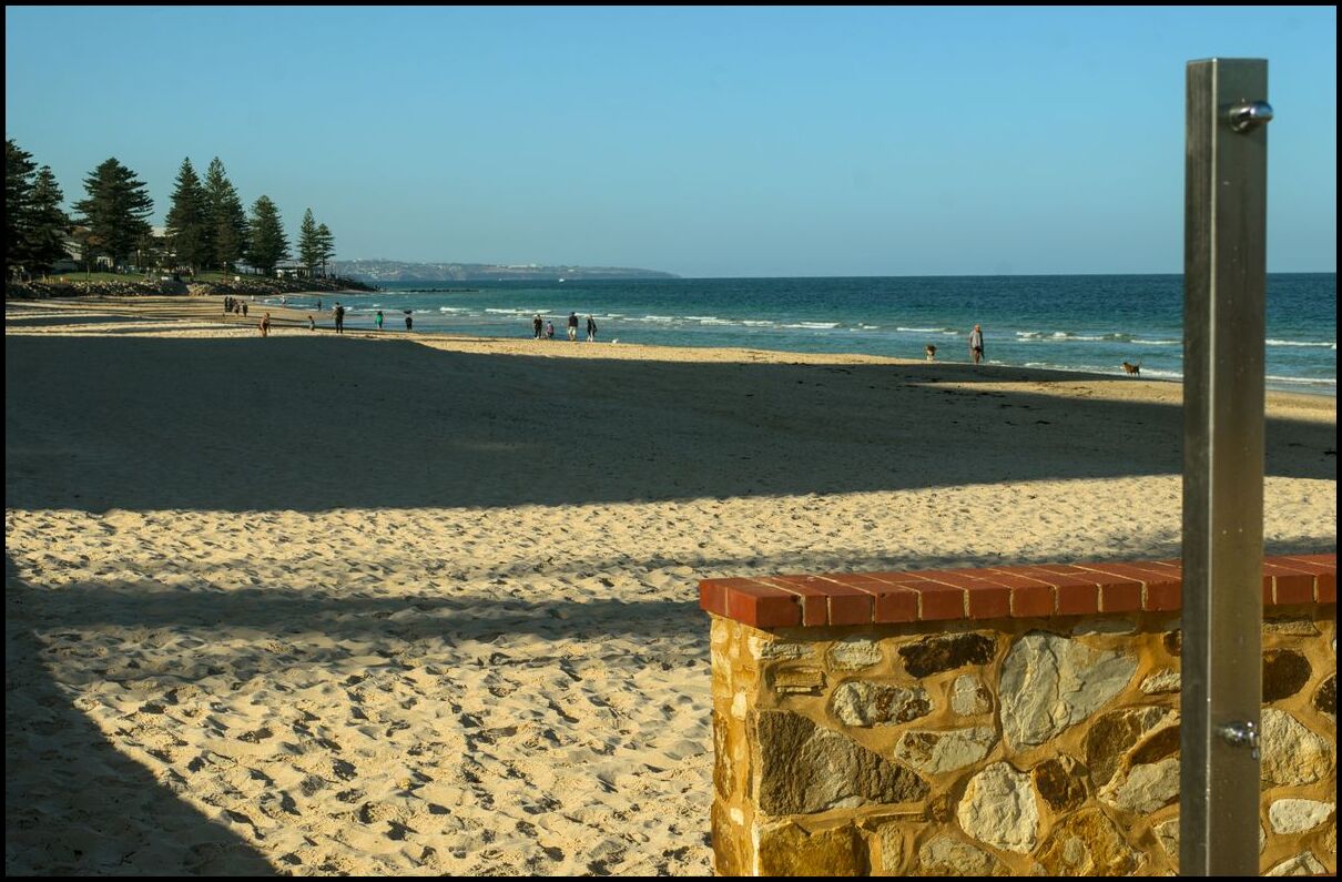
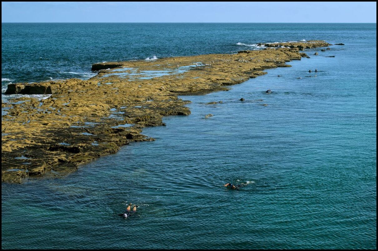
For day 8 we decided to take a trip west to Glenelg (about 10-15km west of Adelaide) on the Gulf of St Vincent. We then headed south and visited the piers1 at both Brighton and Port Noarlunga.
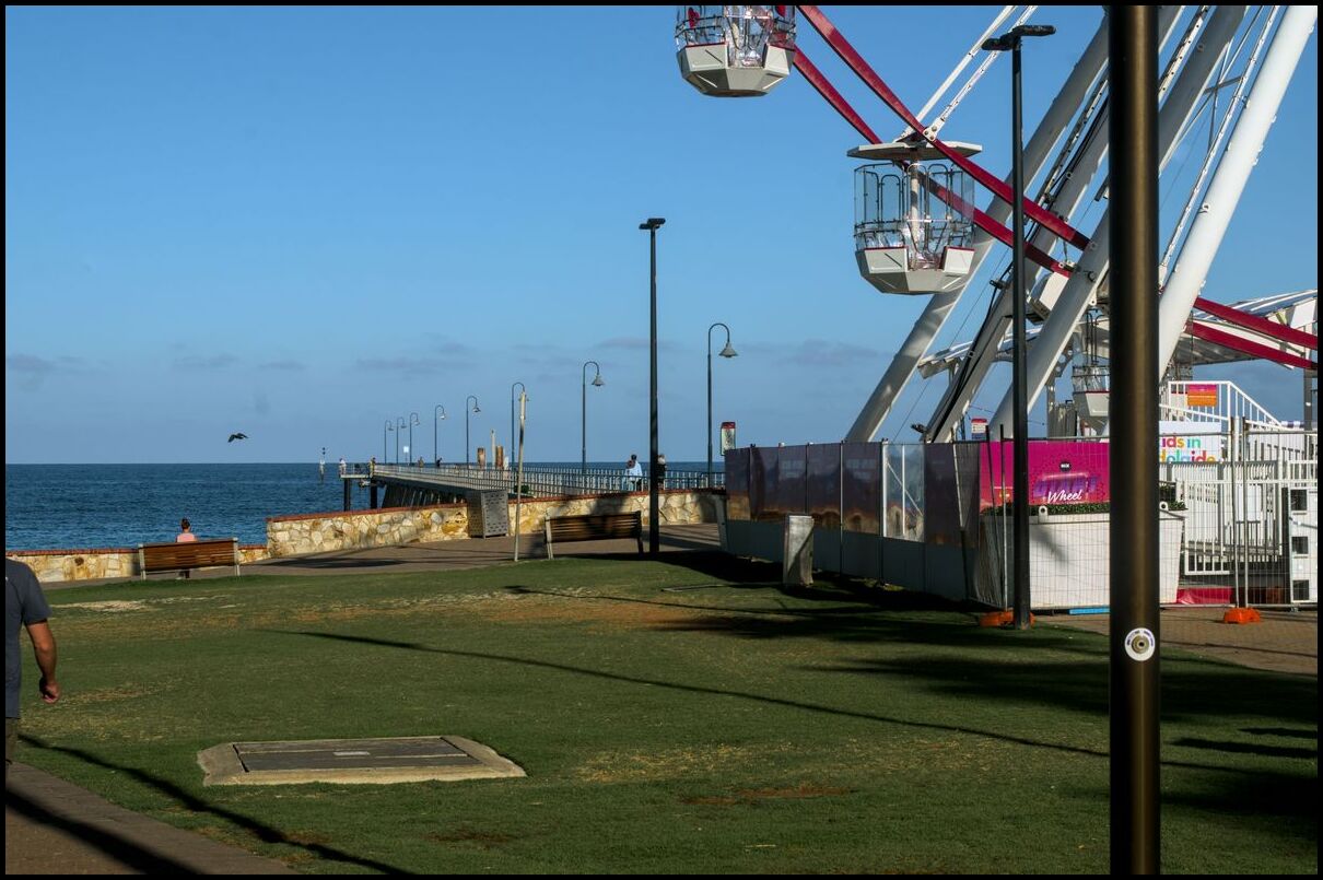
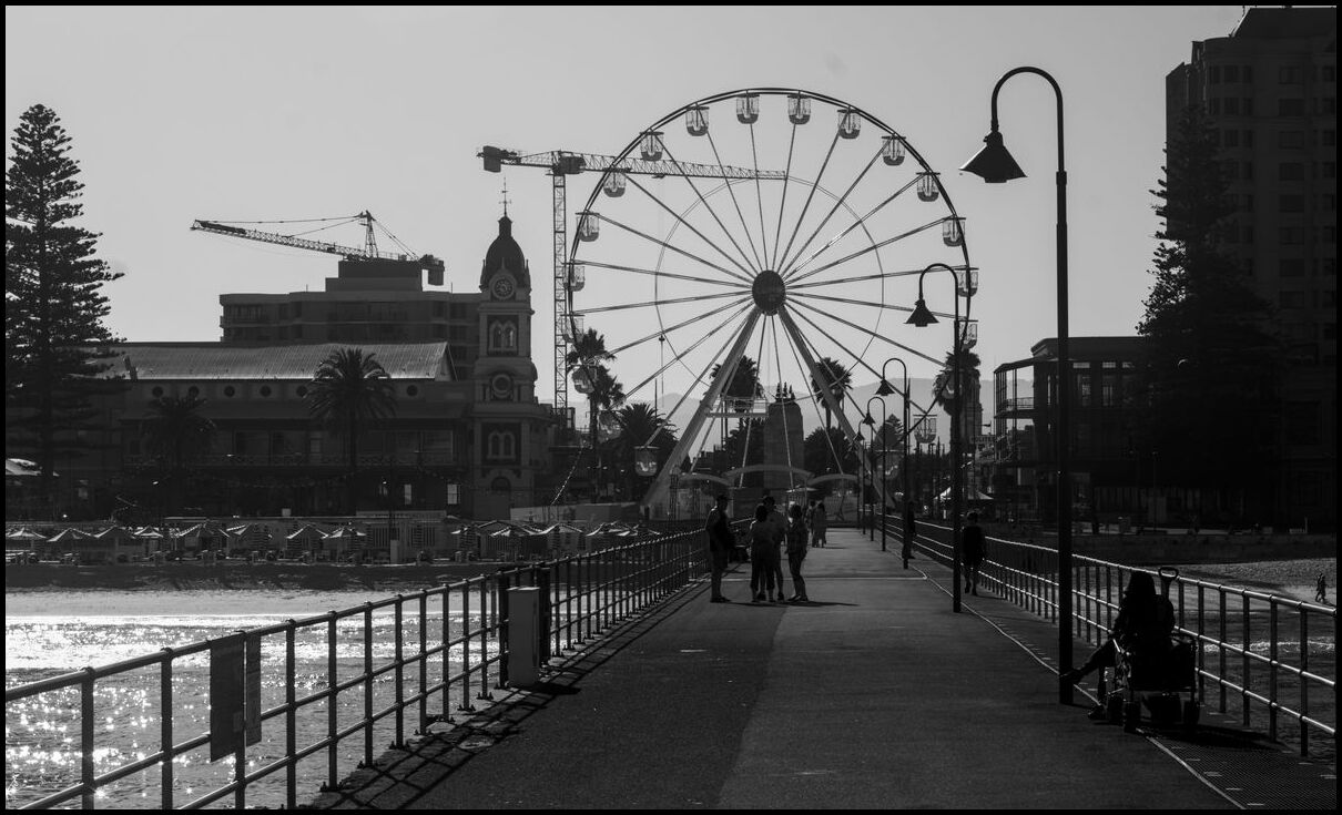
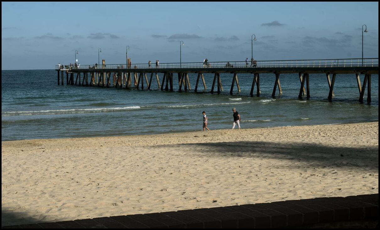
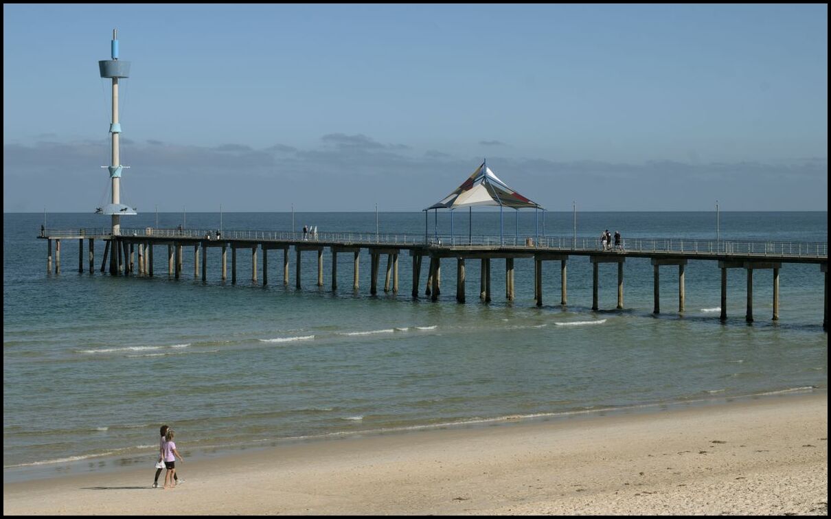
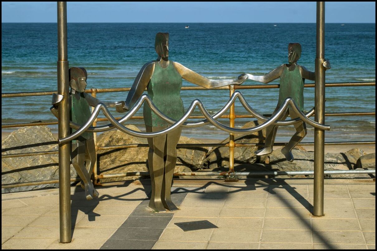
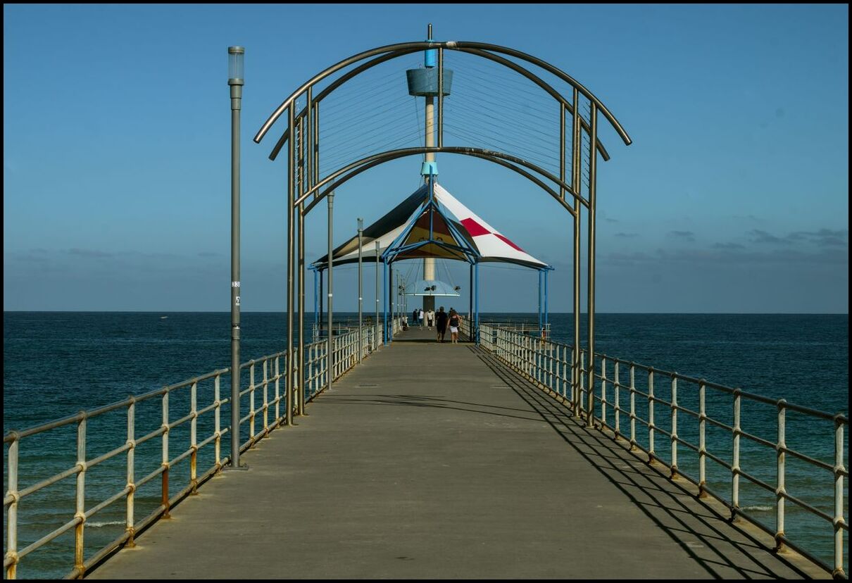
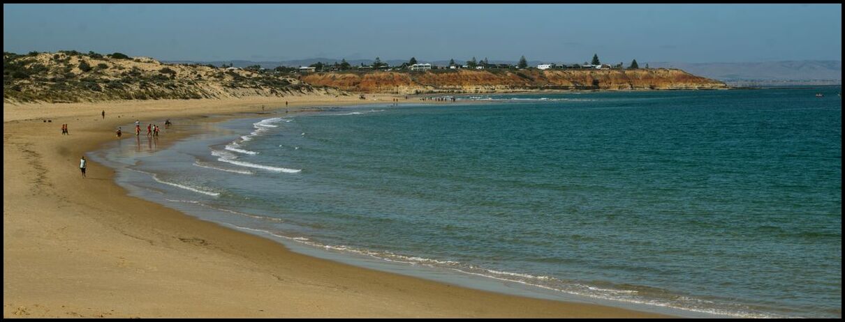
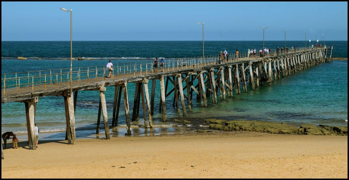
They are often referred to as ‘jetties’, but I think jetties are made of stone or rock and serve as breakwalls whereas a pier sits on piers(!). ↩︎
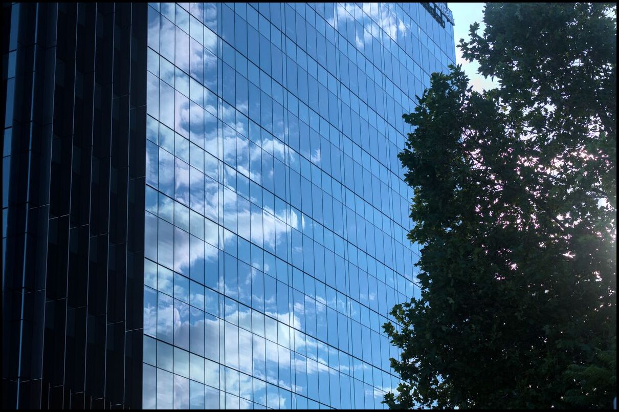
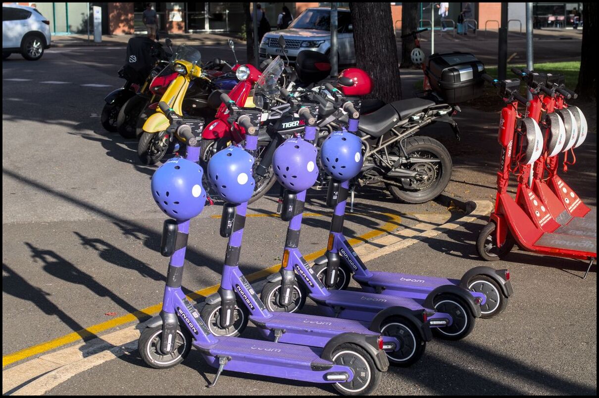
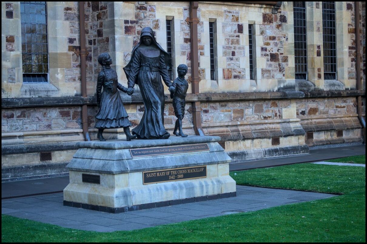
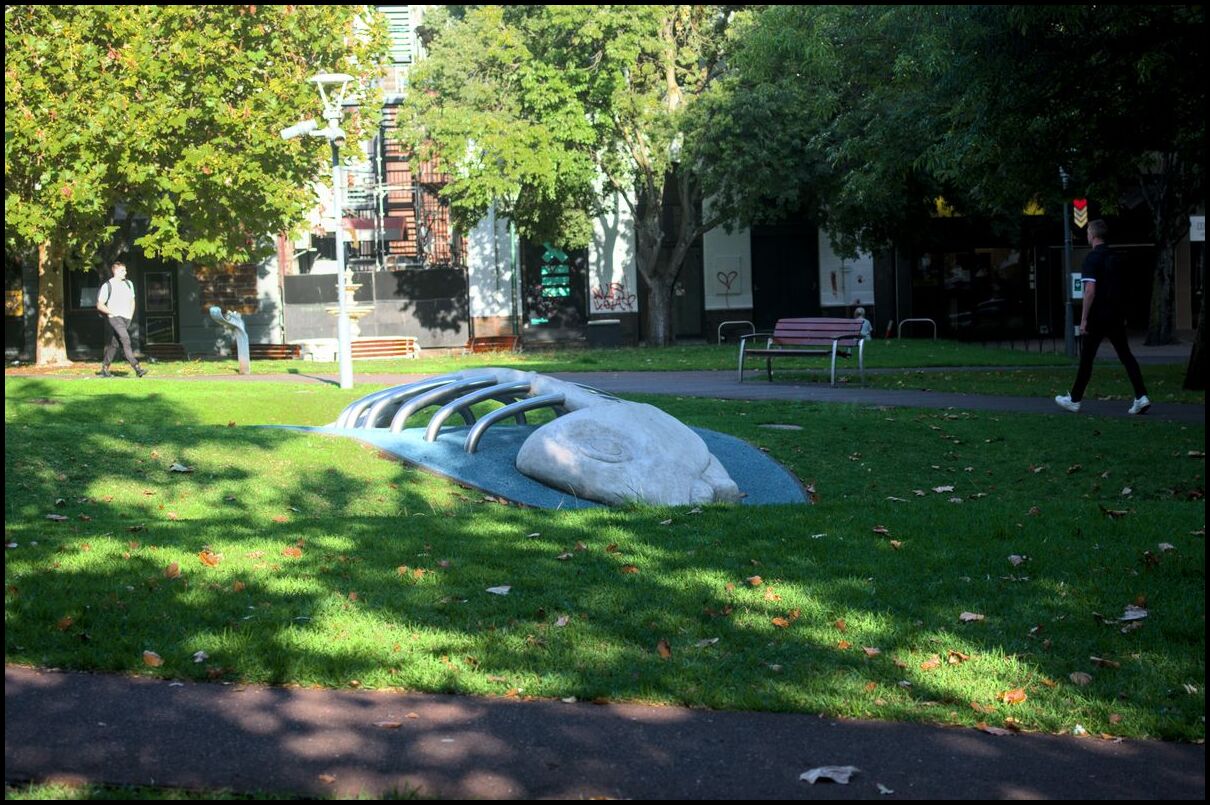
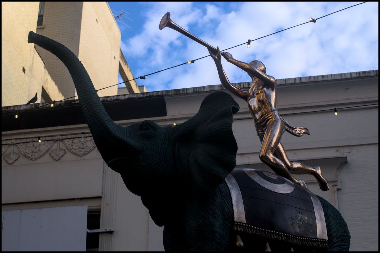
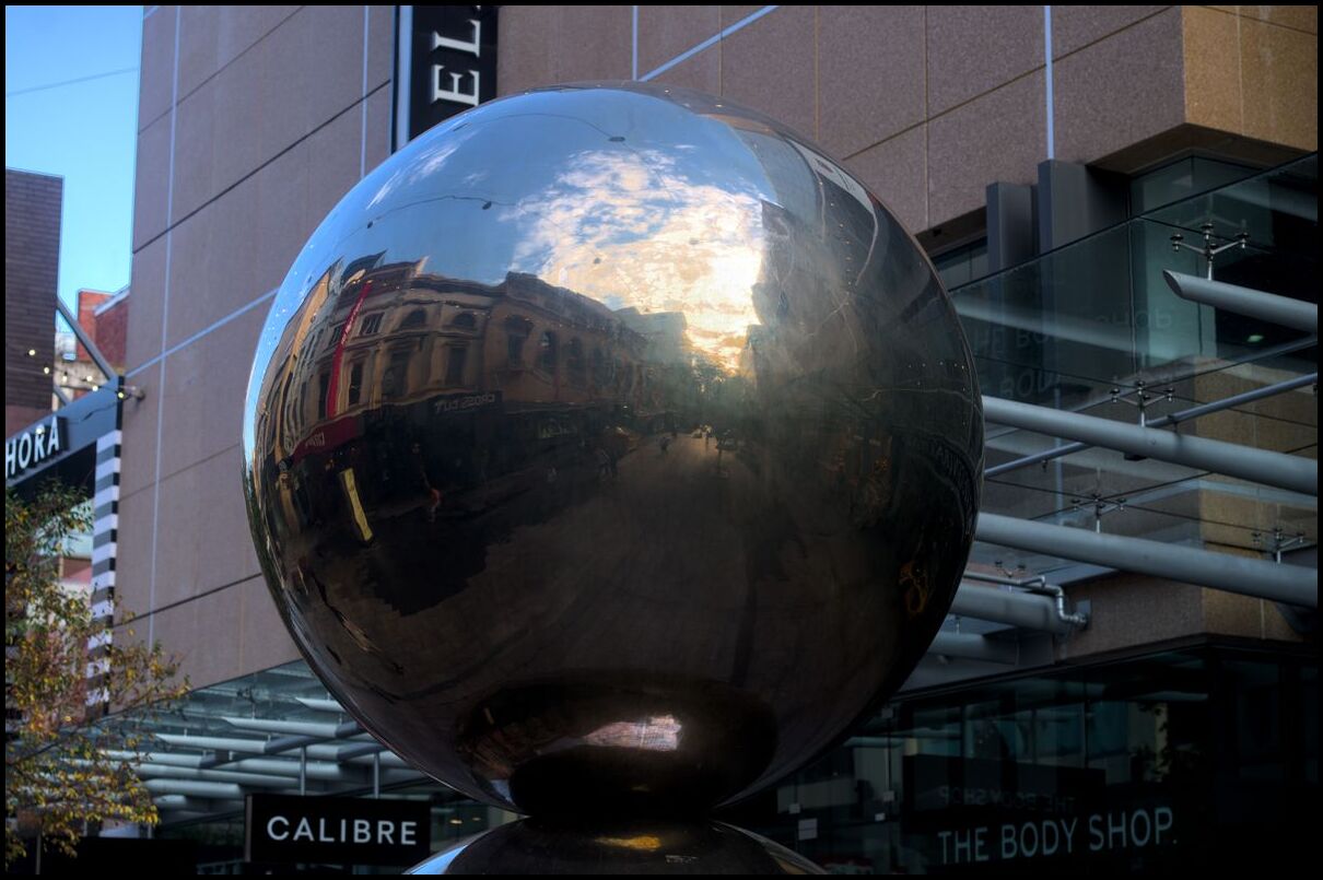
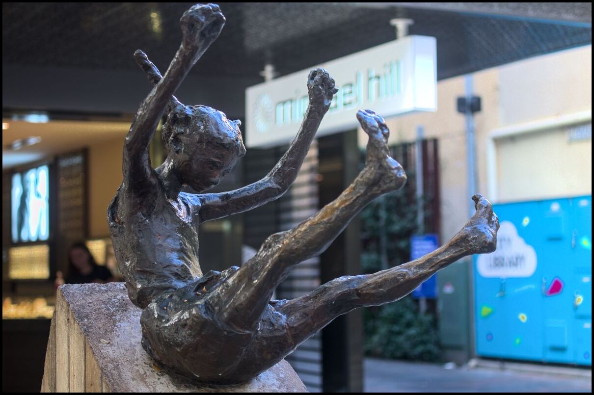
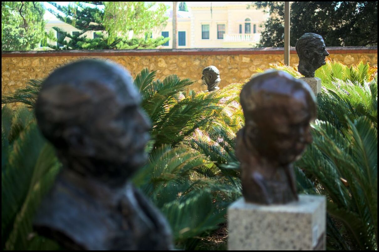
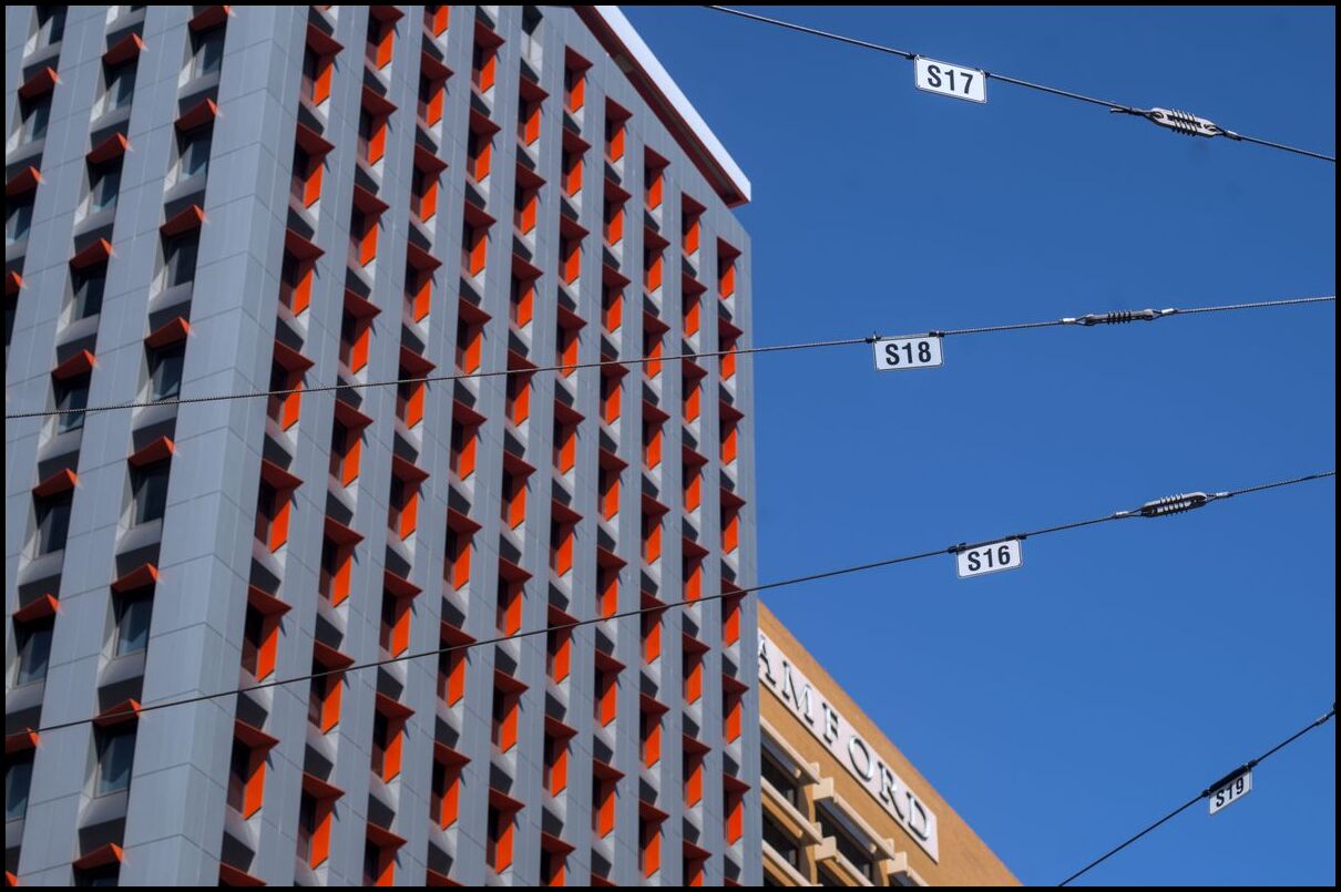
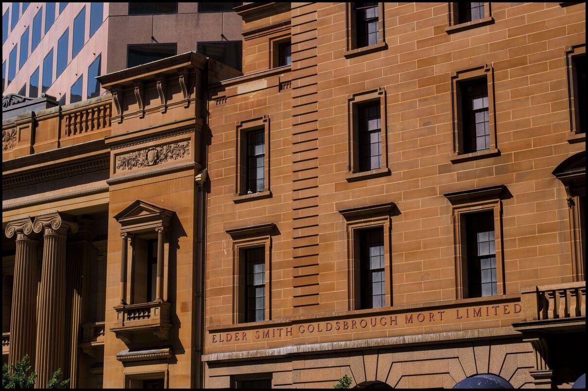
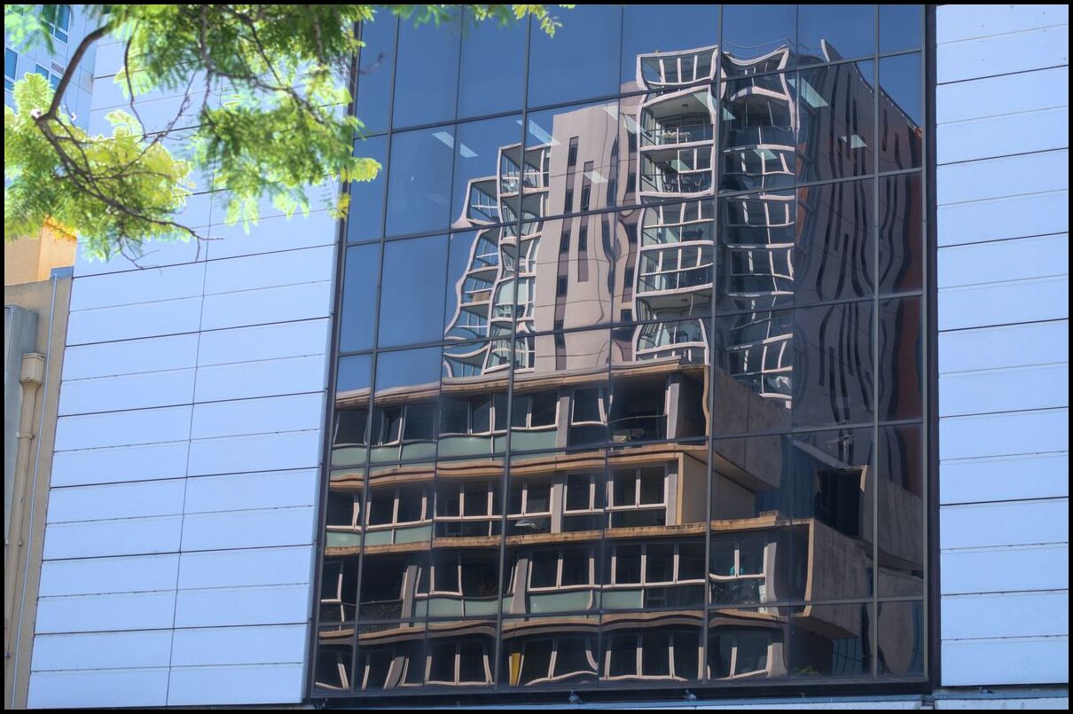
Day 7 was spent in Adelaide - looking at some of the street art (for example), walking along Rundle Mall, photographing buildings, visiting the Art Gallery and finishing with a quick tour of parts of the Botanic Gardens.
bikes, bikes, more bikes
Salvador Dali, apparently
baubles
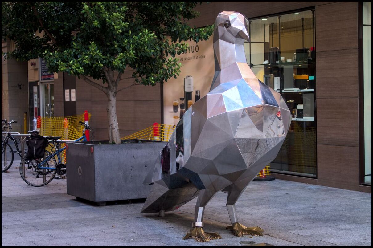
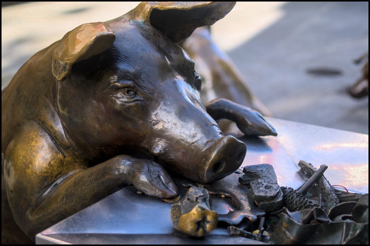
a 2m high steel pigeon
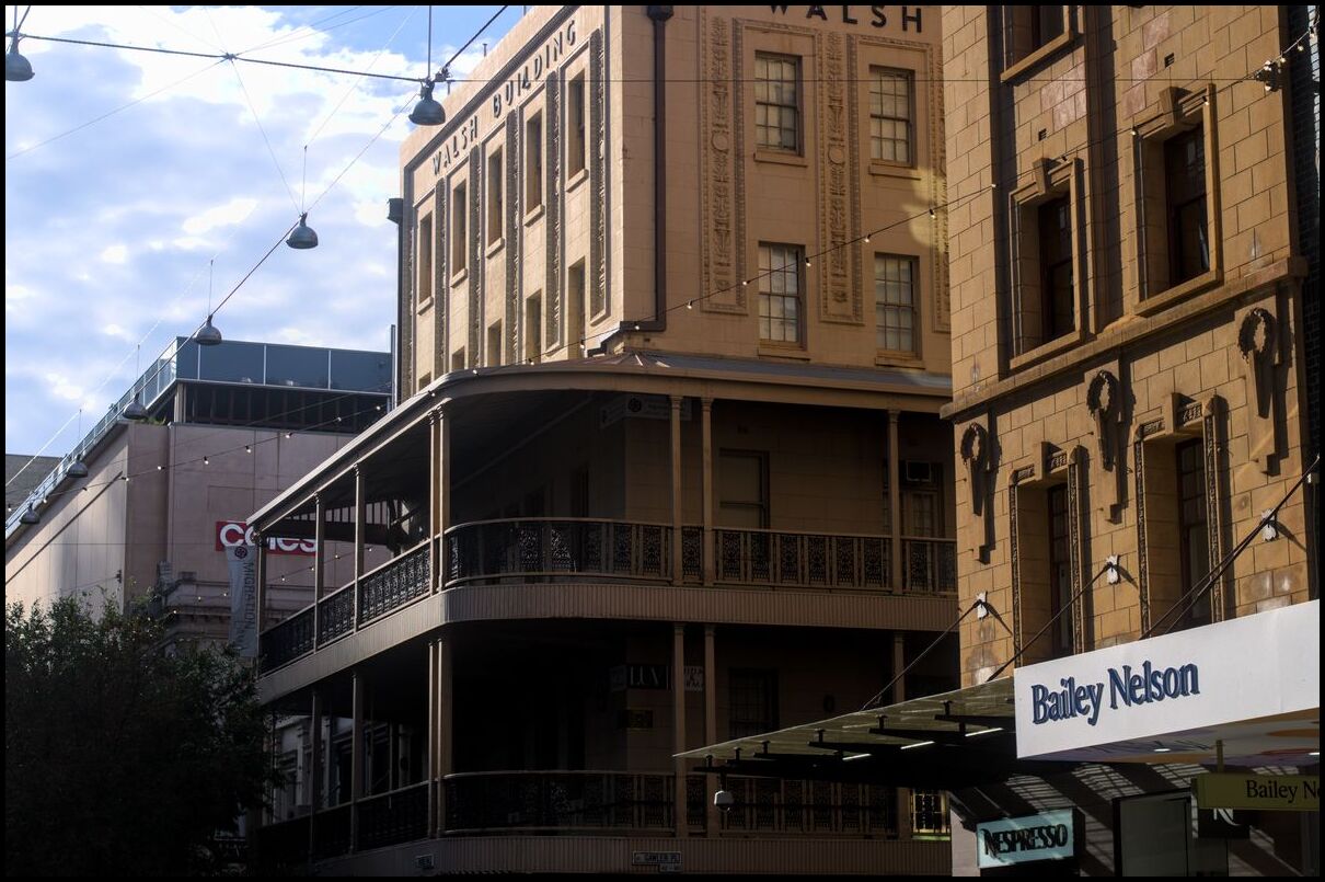
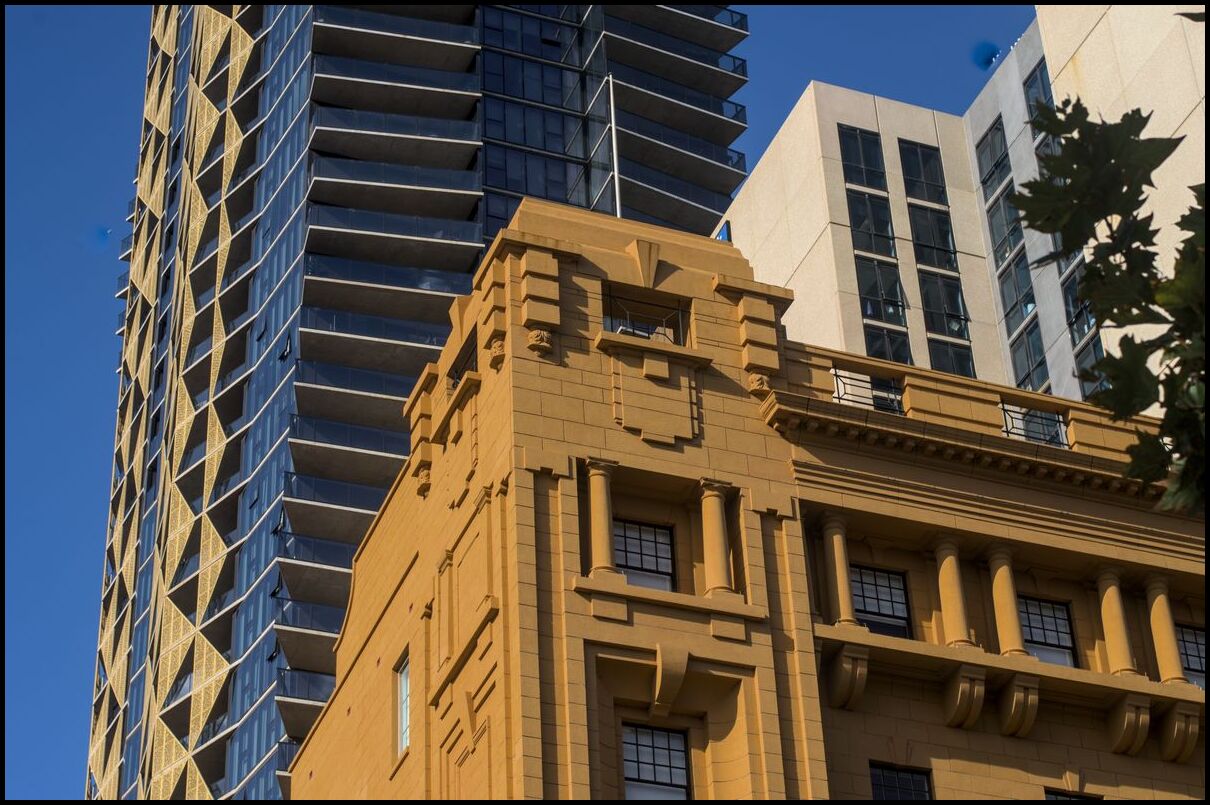
old and new. I prefer the old
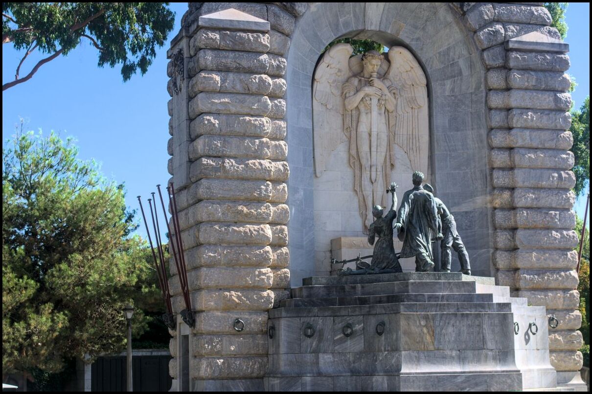
war memorial
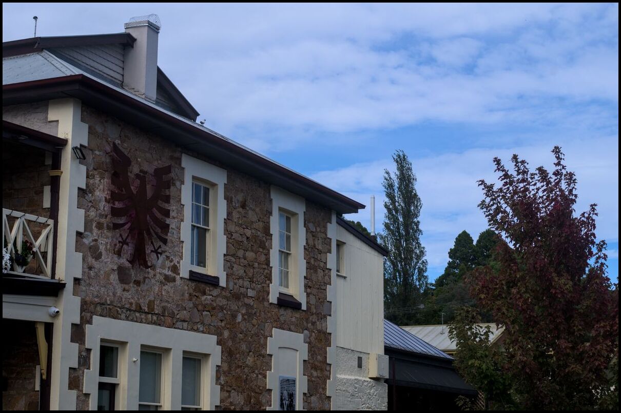
On Day 6 we left the Barossa and drove through the beautiful Eden Valley to the interesting-but-touristy Hahndorf, stopped at the Mt Lofty Summit and eventually descended into Adelaide.
A cross overlooking the Eden Valley is a reminder of the Christian heritage of the area
A few photos of the Eden Valley
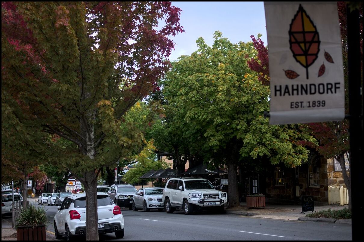
Hahndorf, as evidenced by the sign
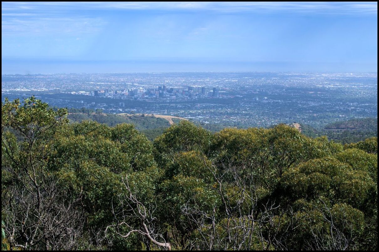
Adelaide city from the Mt Lofty Summit
Day 5 - Driving from Broken Hill to the Barossa via Yunta. Much of the first half of the 450+ km was through fairly desolate terrain. Rain threatened much of the way but yielded interesting cloud formations and variable light as evidenced below:
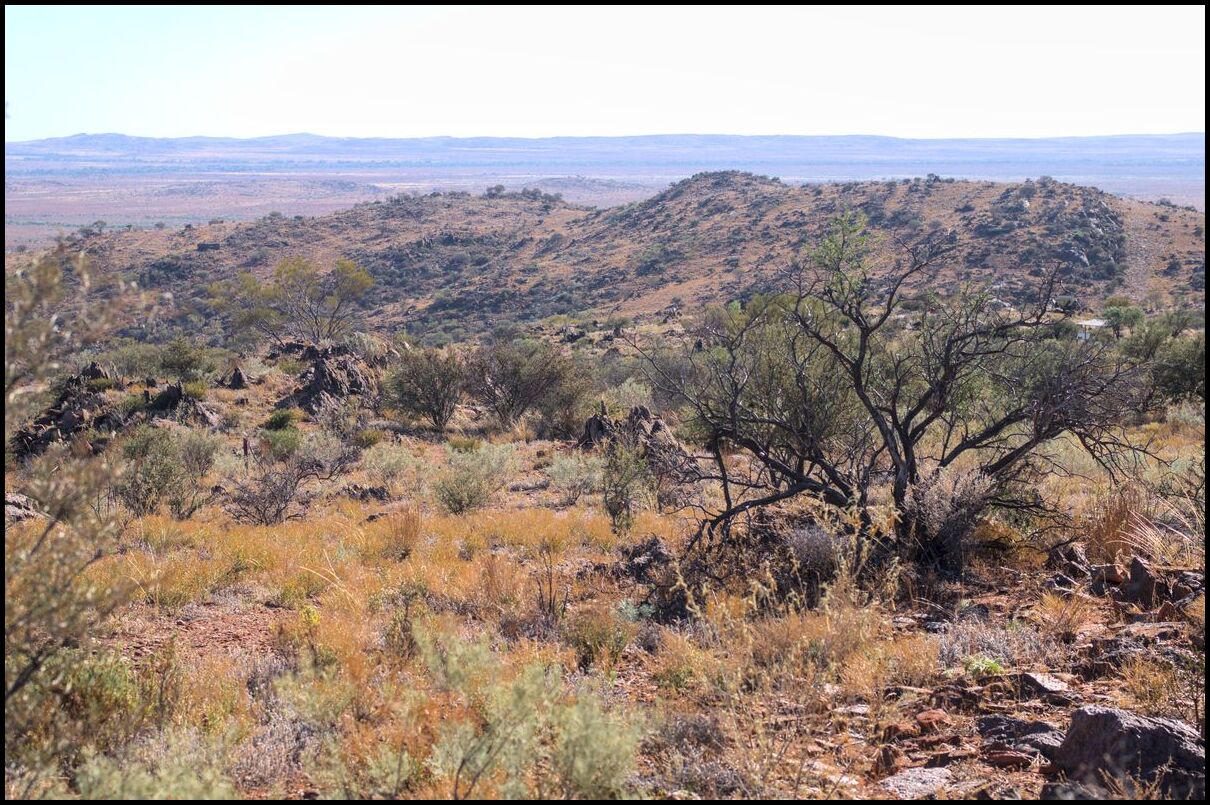
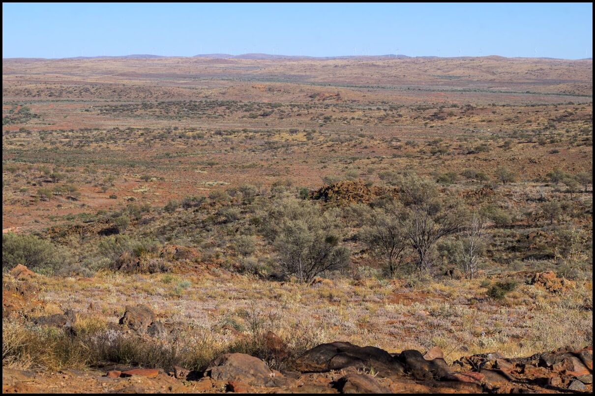
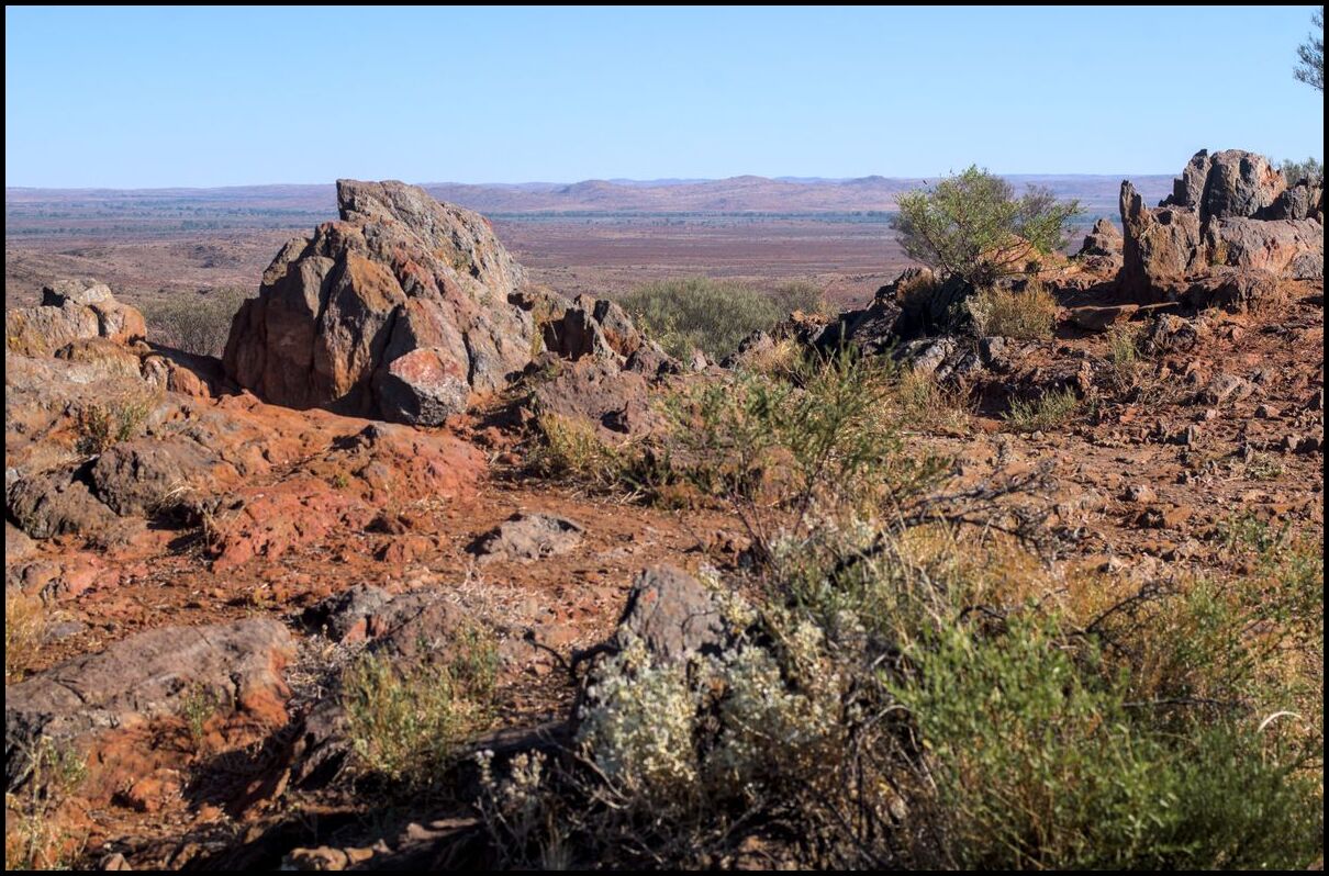
Day 4 saw us travelling to Silverton and the Mundi Mundi lookout some 25 to 30 km from Broken Hill.
Four views from Mundi Mundi
Beautiful without obvious landmarks
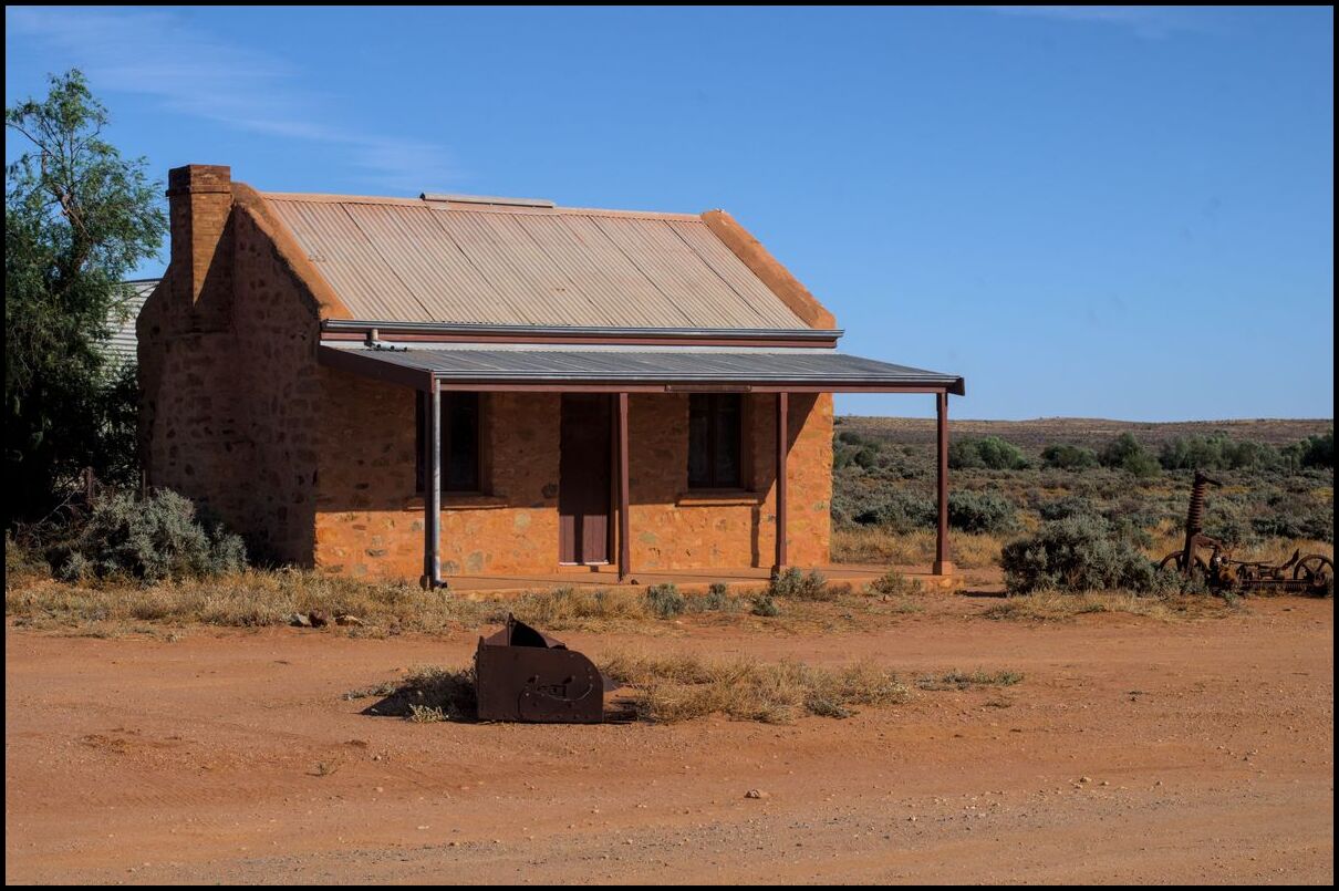
and one in Silverton
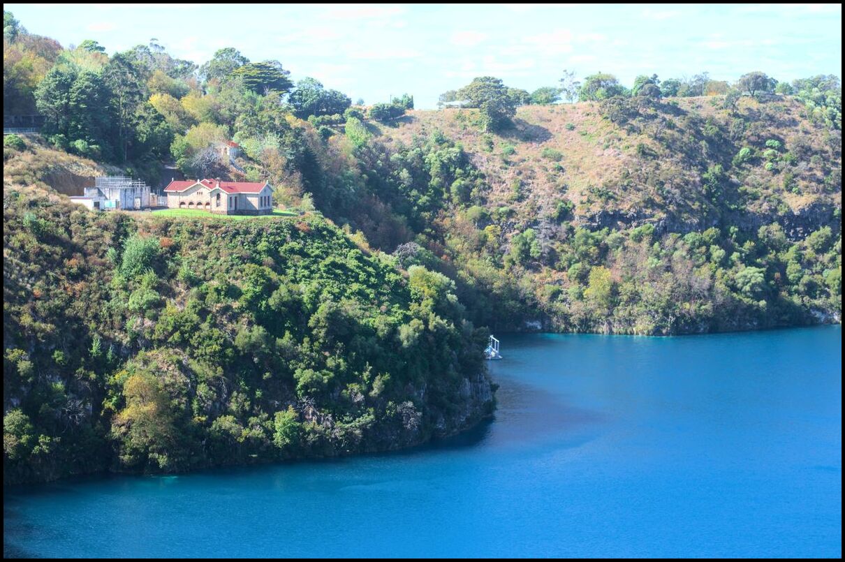
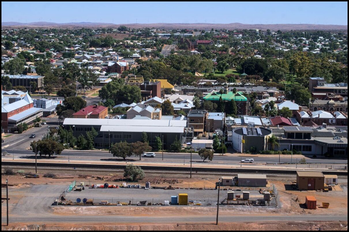
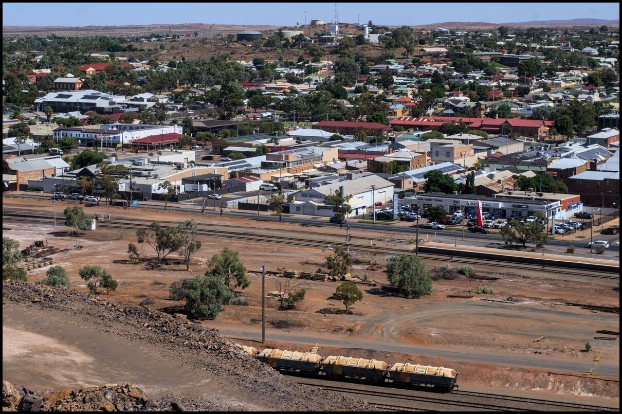
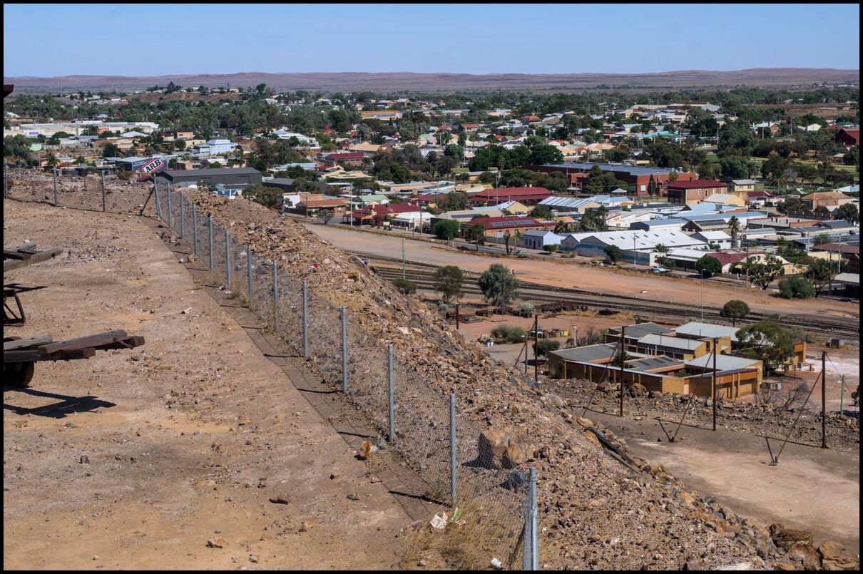
Day 3 was our first full day in Broken Hill. We began with a trip out to the Living Desert sculptures and later that day spent some time at the Line of Lode memorial.
The air in and around Broken Hill was so clear and clean. And the view of Broken Hill from the memorial was excellent.
Views from the Living Sculptures park
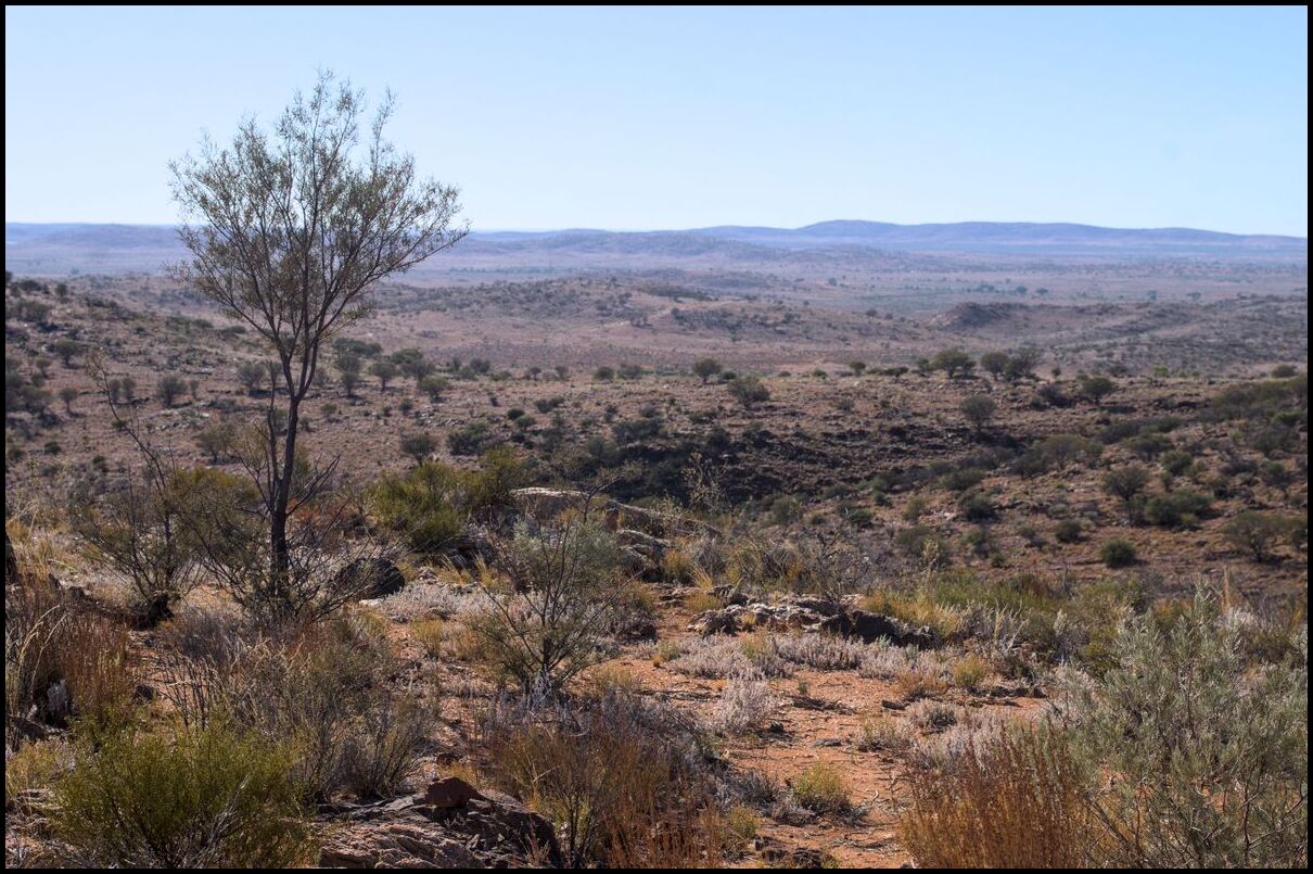
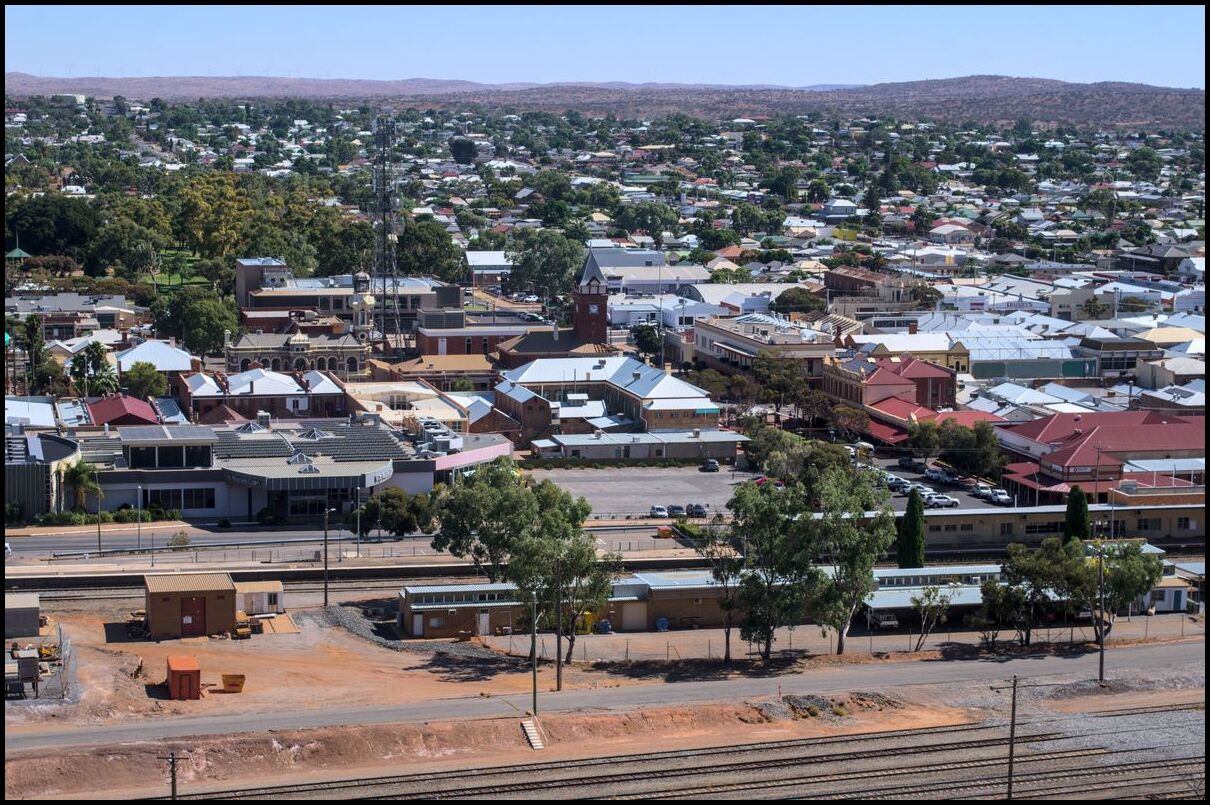
Broken Hill east to west
Day 2 saw us leave Nyngan behind and continue west - aiming for Broken Hill.
Our first port of call was Cobar, then a few stops in the middle of nowhere before having lunch in Wilcannia and arriving in Broken Hill mid-afternoon.
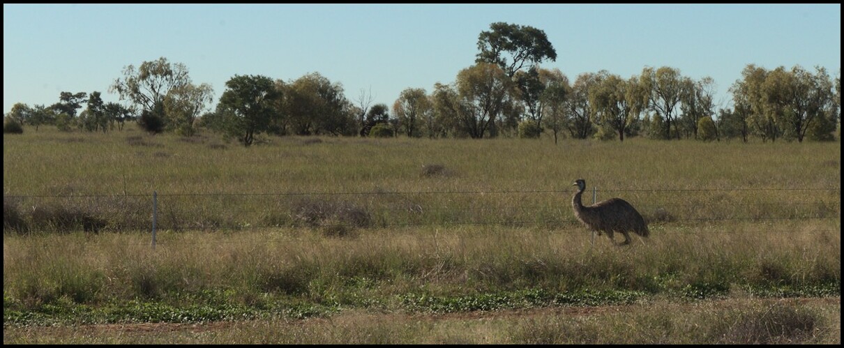
The countryside is sparse but beautiful. We saw the odd emu but they were vastly outnumbered by goats–hundreds of them grazing at the roadside, but too clever to become roadkill (not that we were trying!) The goats seems to be in flocks of four or five to ten and there were literally dozens of flocks spread out across hundreds of kilometres.
My wife and I recently completed a holiday/road trip starting on the mid coast of NSW through the central and far west of NSW, into the primary wine making districts of South Australia and Adelaide then south east through Mt Gambier and along the Great Ocean Road to Melbourne before returning through central Victoria.
Our first port of call was Nyngan. One of Nyngan’s claims to fame is The Big Bogan1. He’s probably close to 6 metres tall. And here he is in his glorious boganness or boganinity:
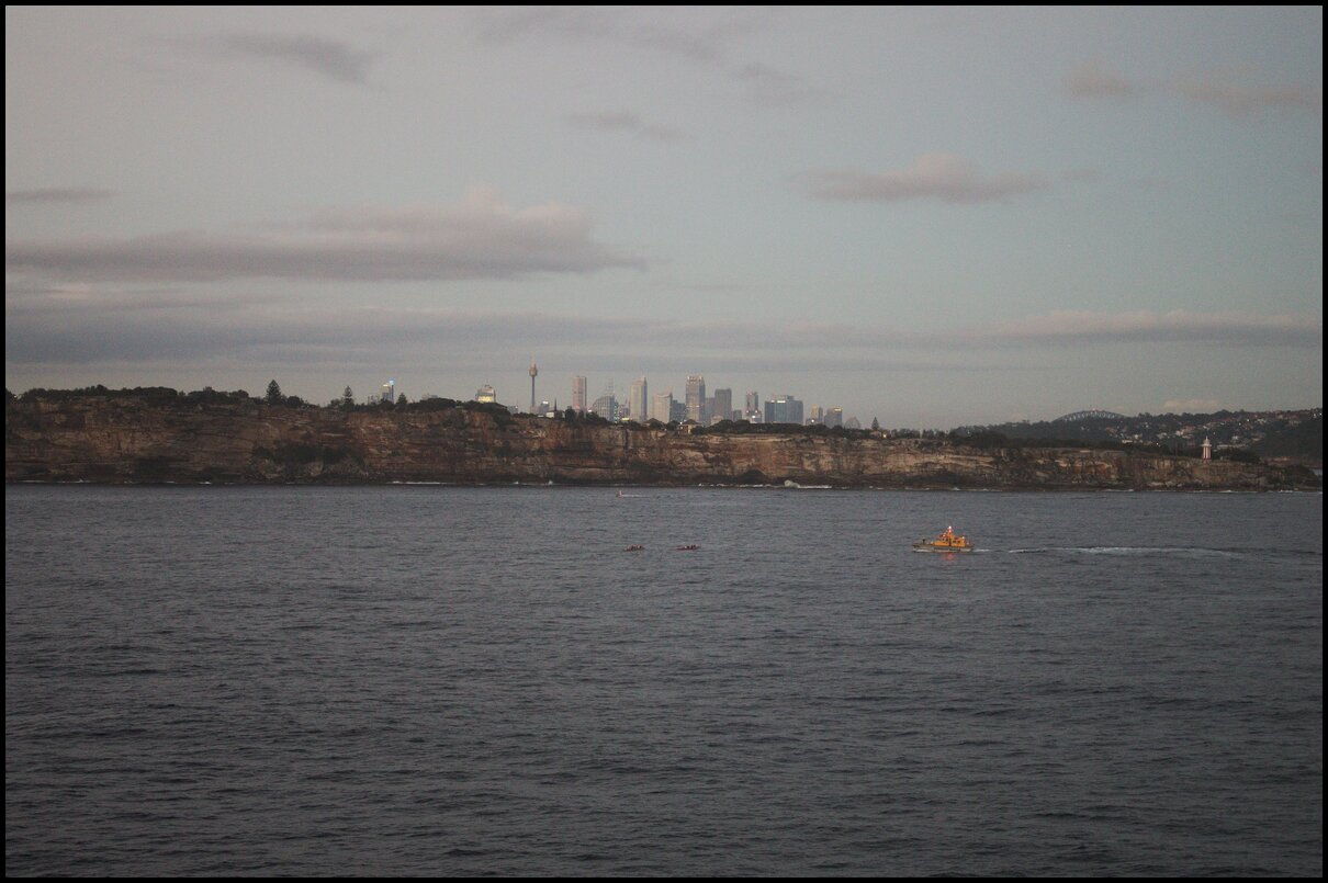
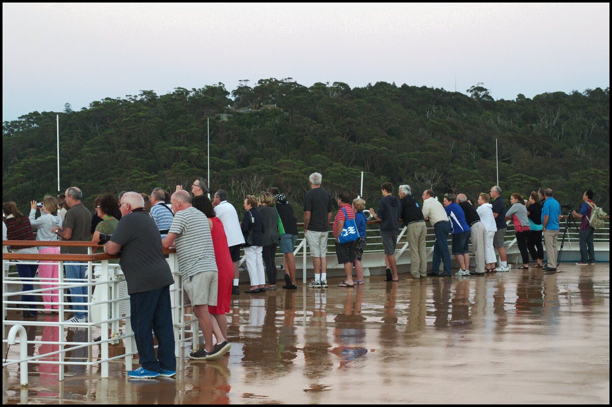
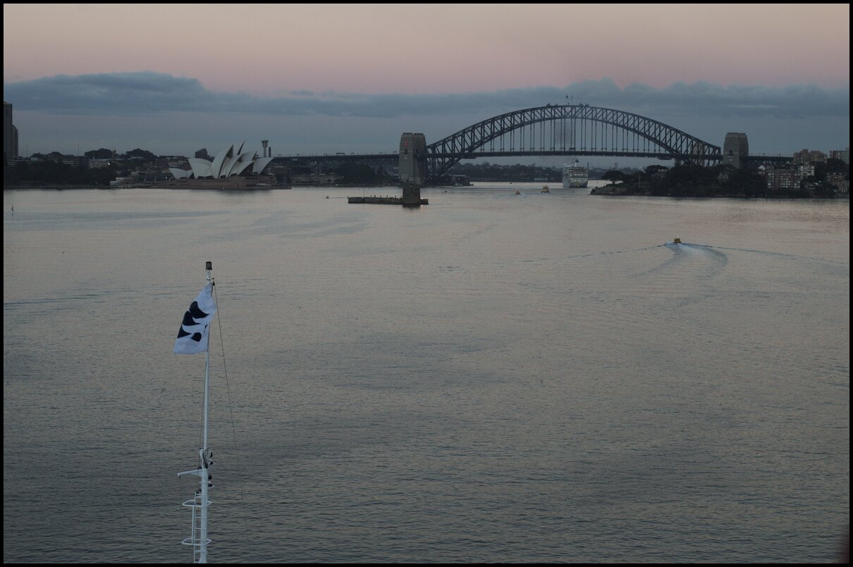
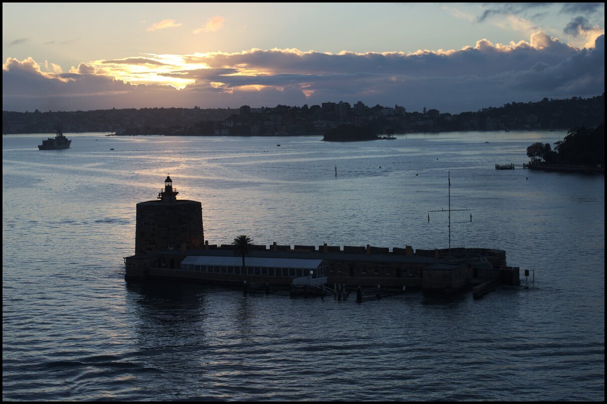
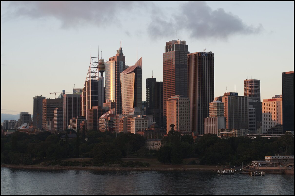
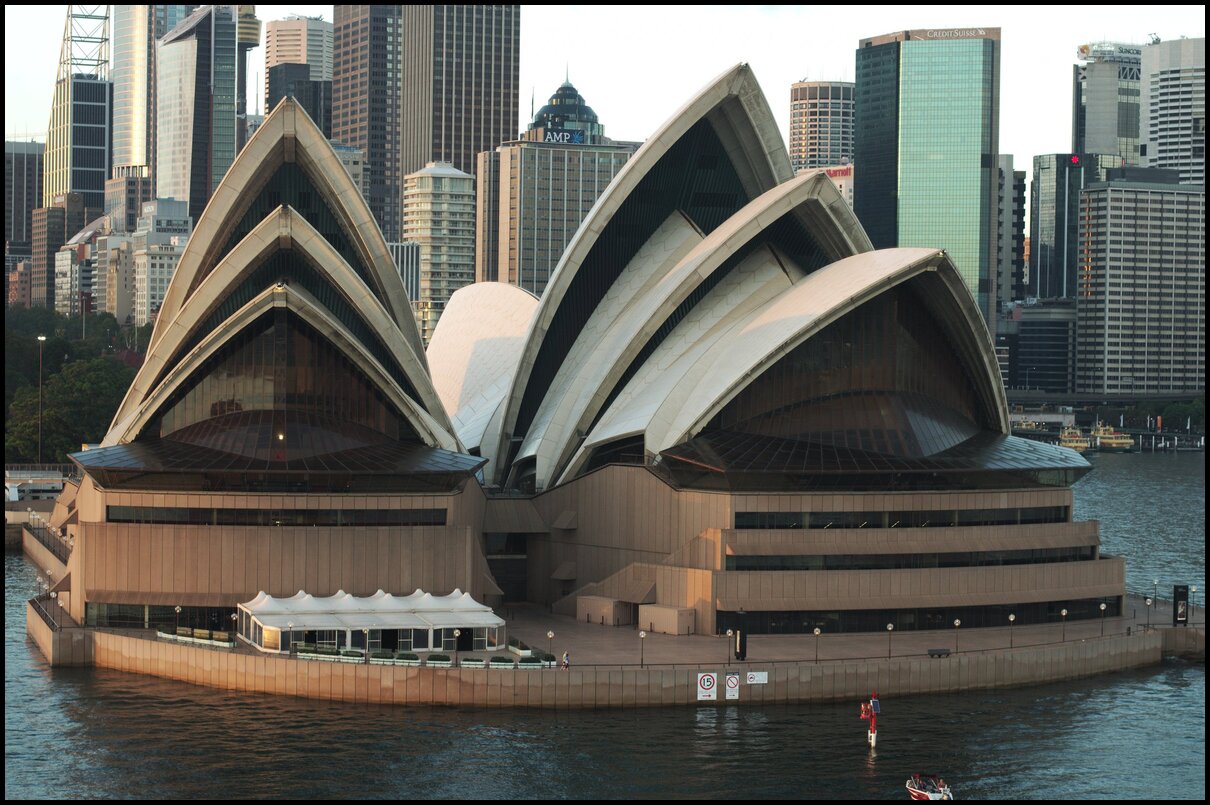
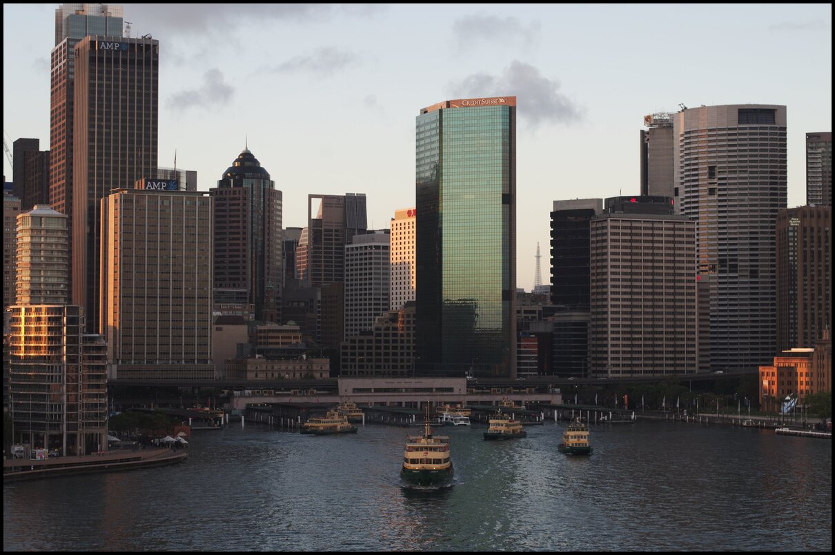
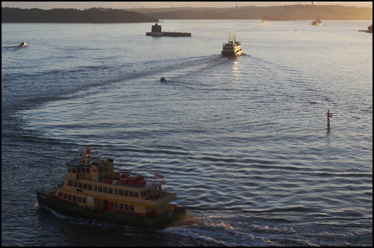
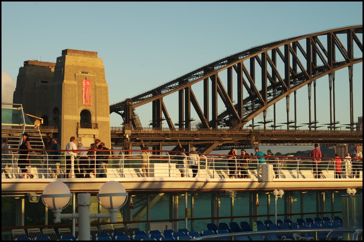
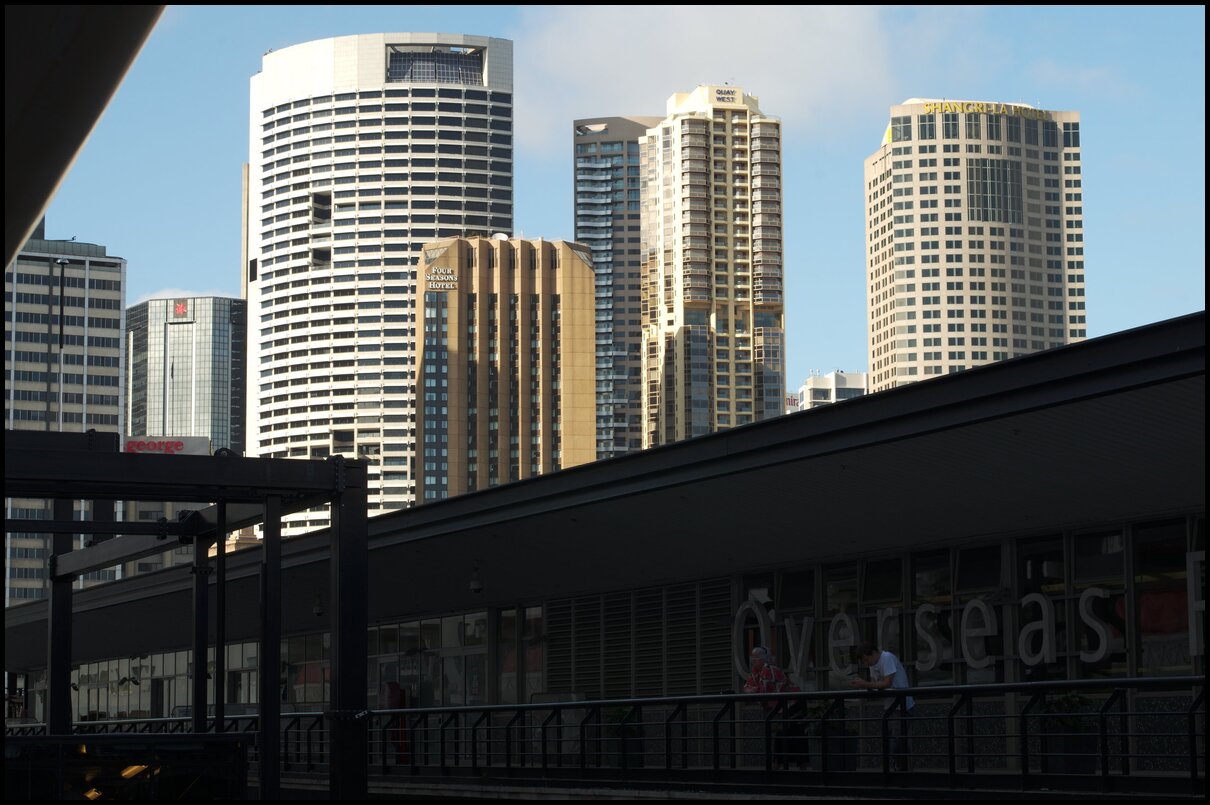
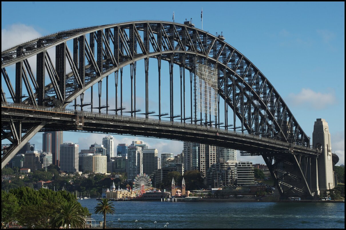
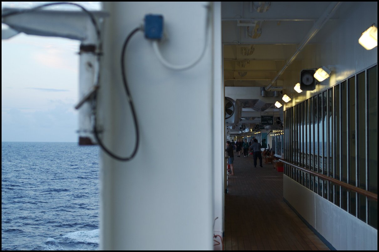
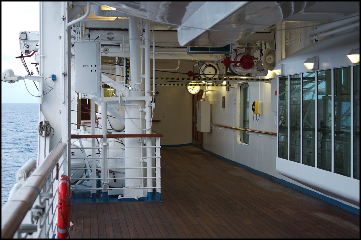
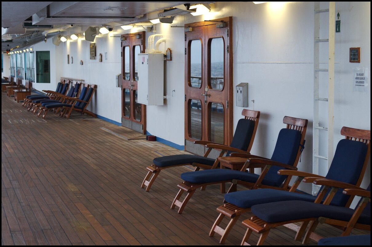
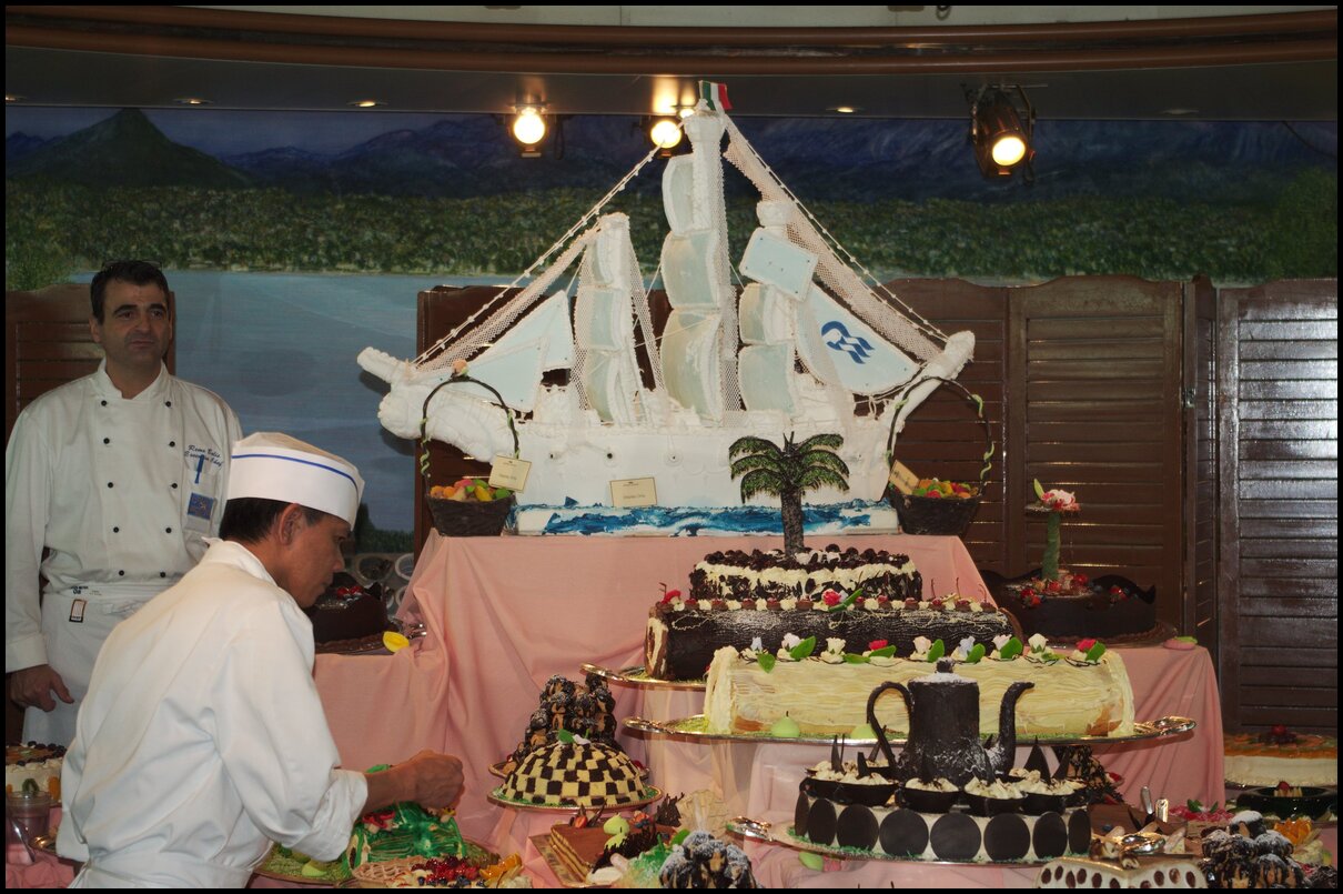
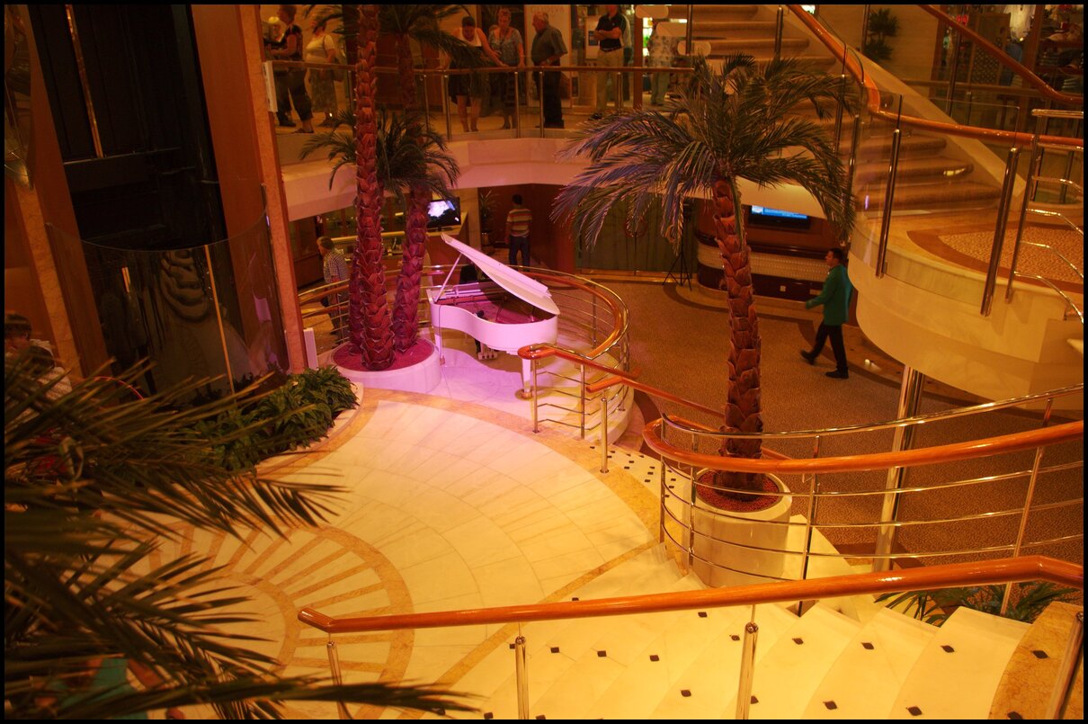
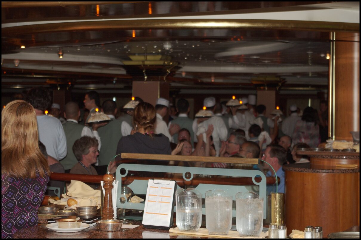
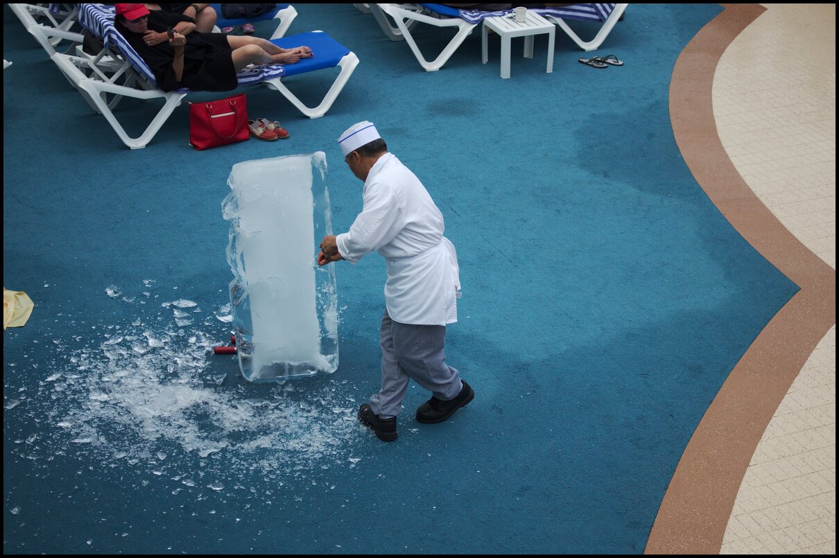
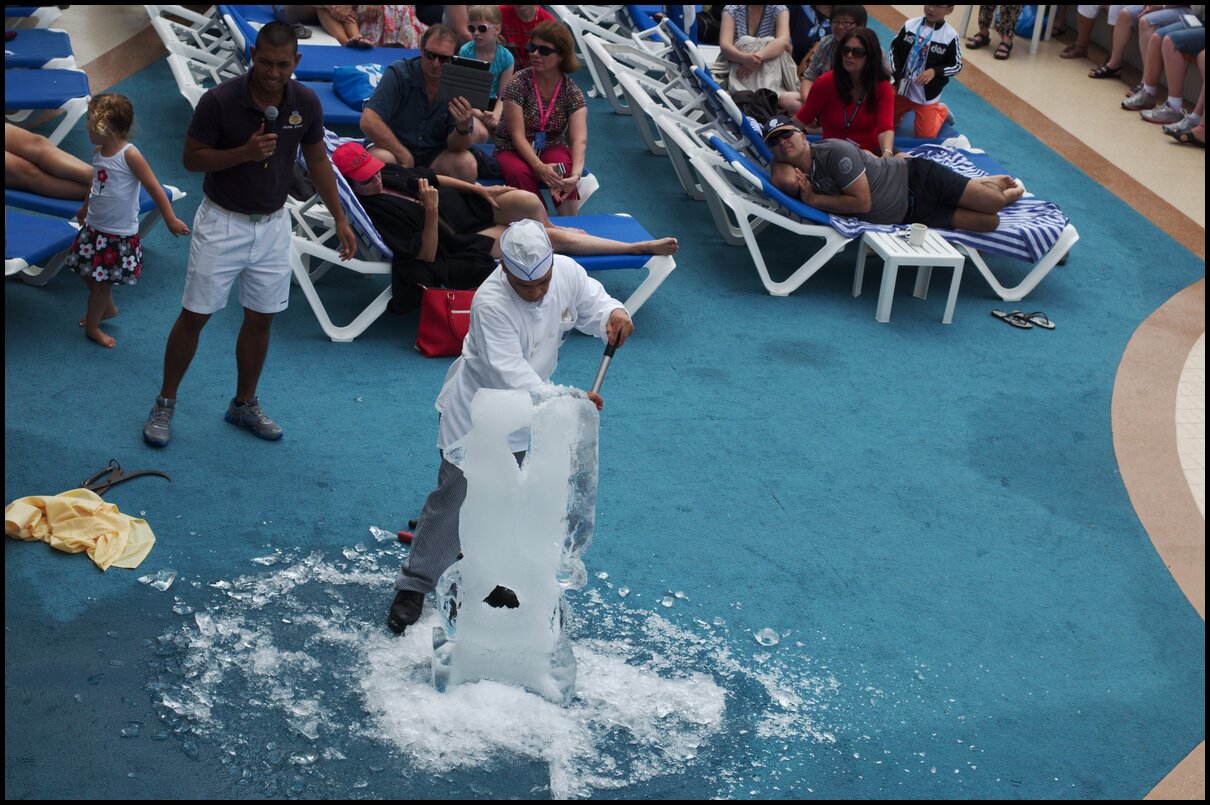
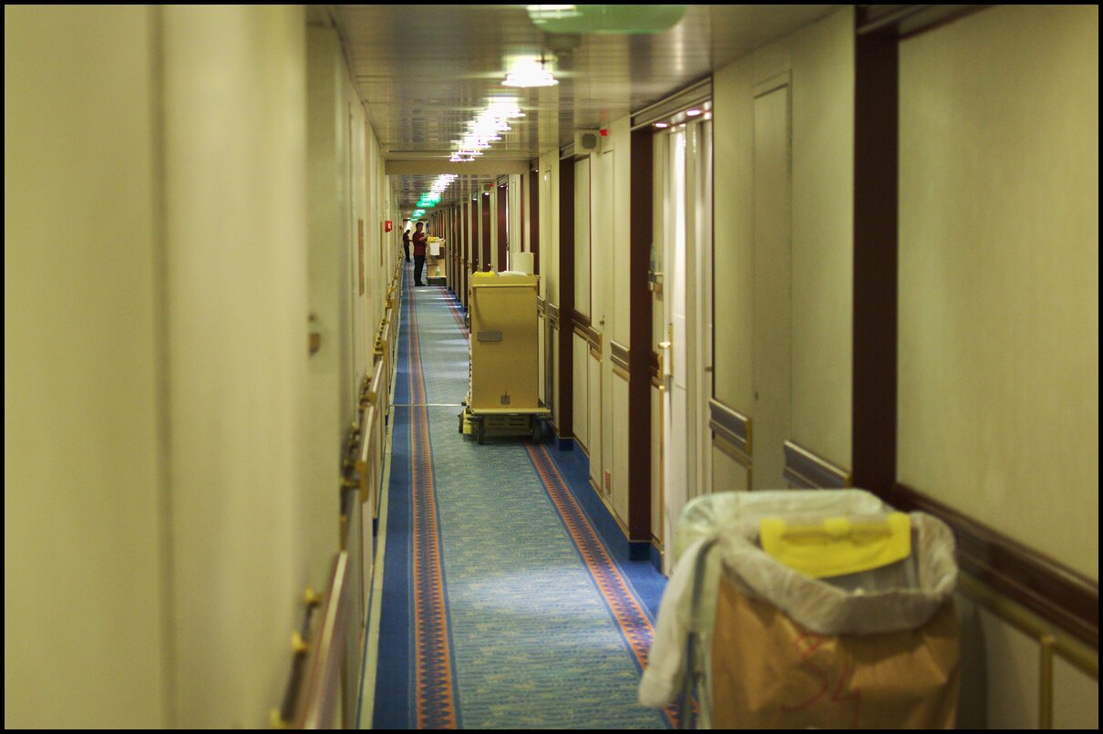


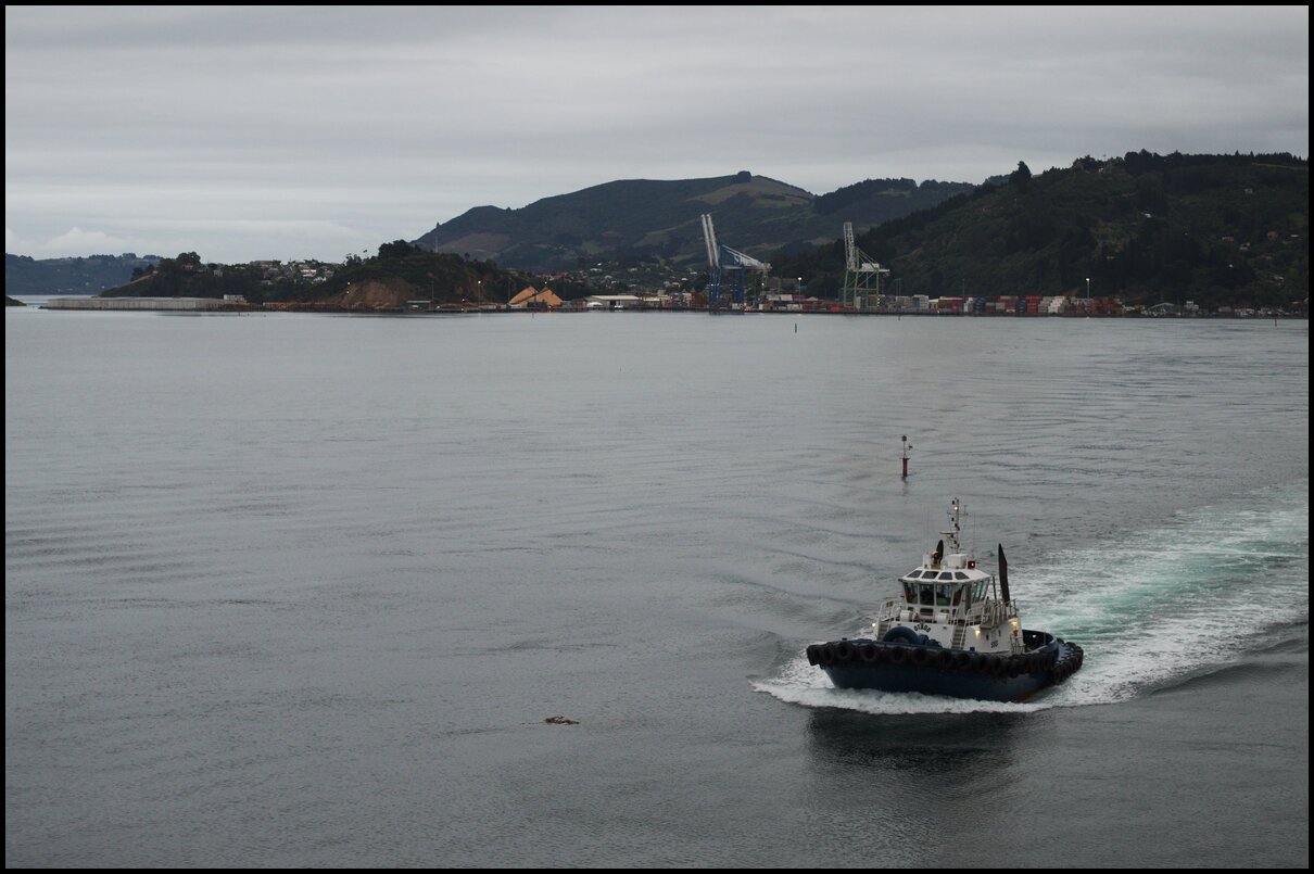


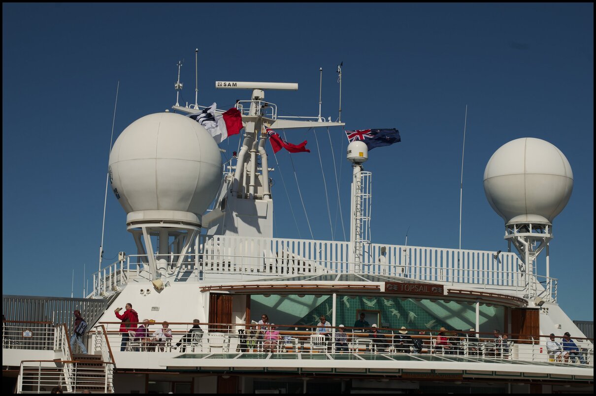
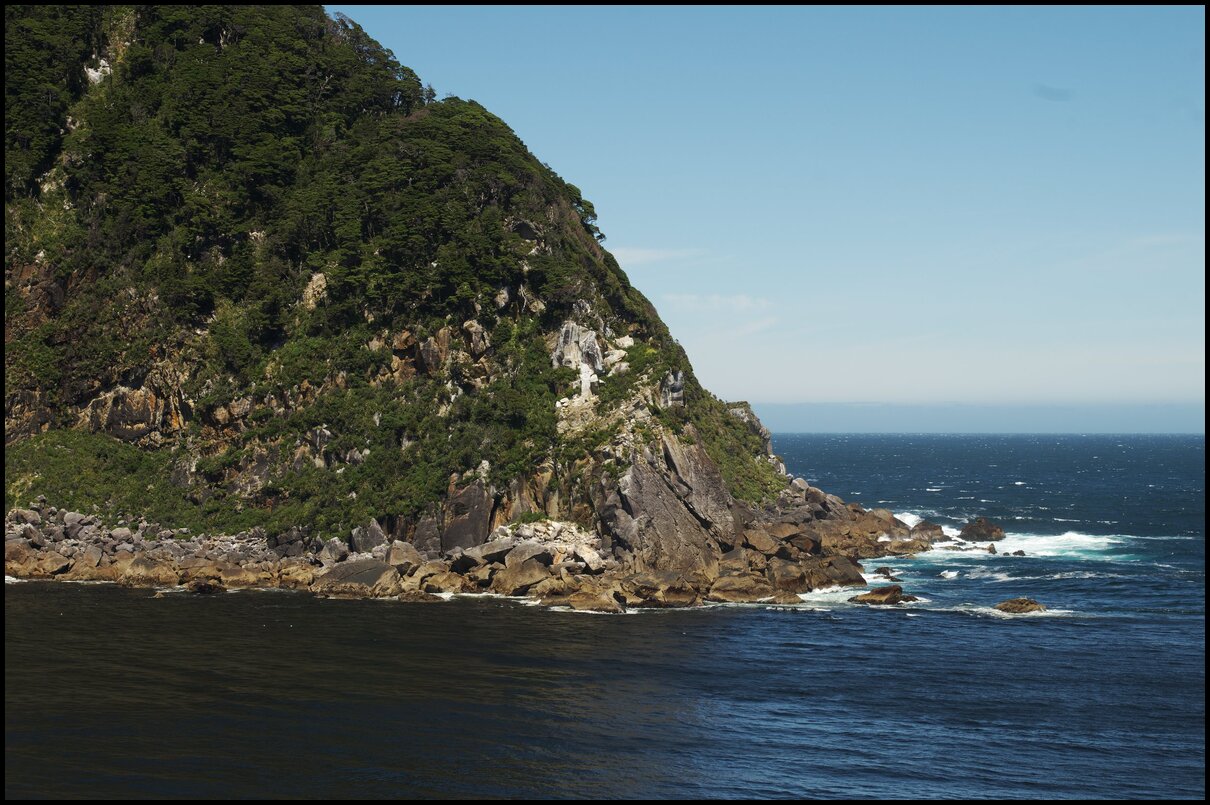


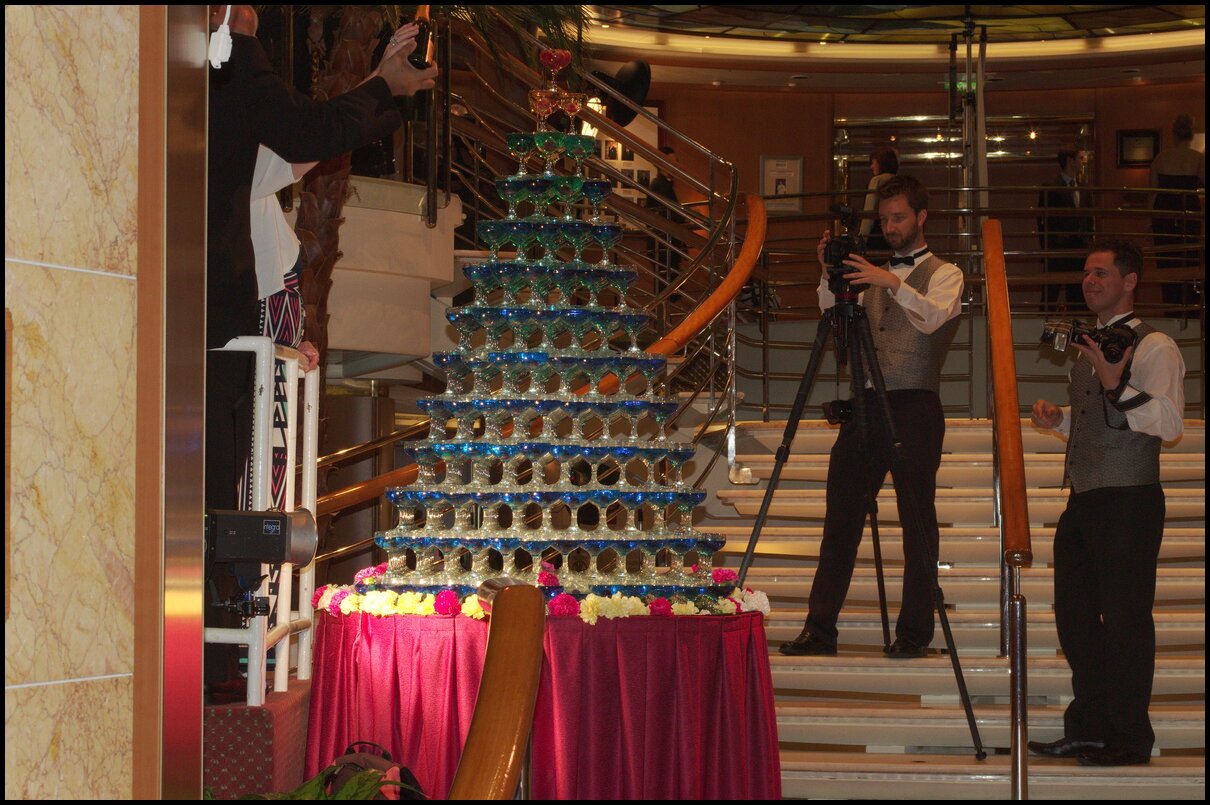
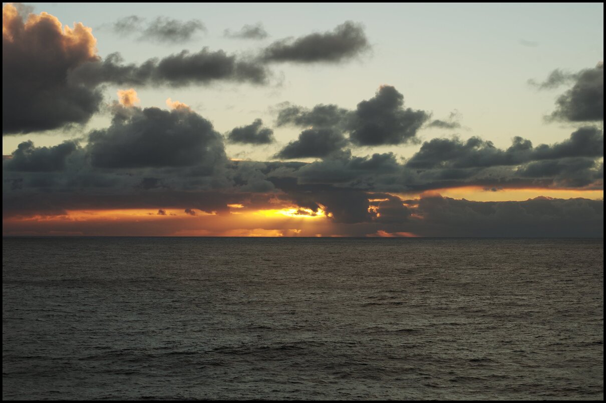

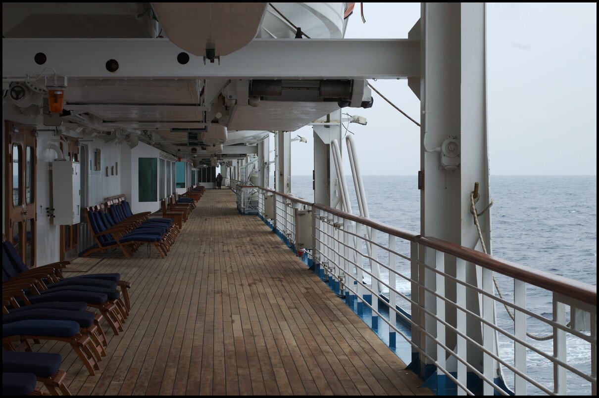
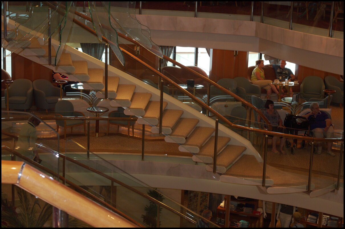
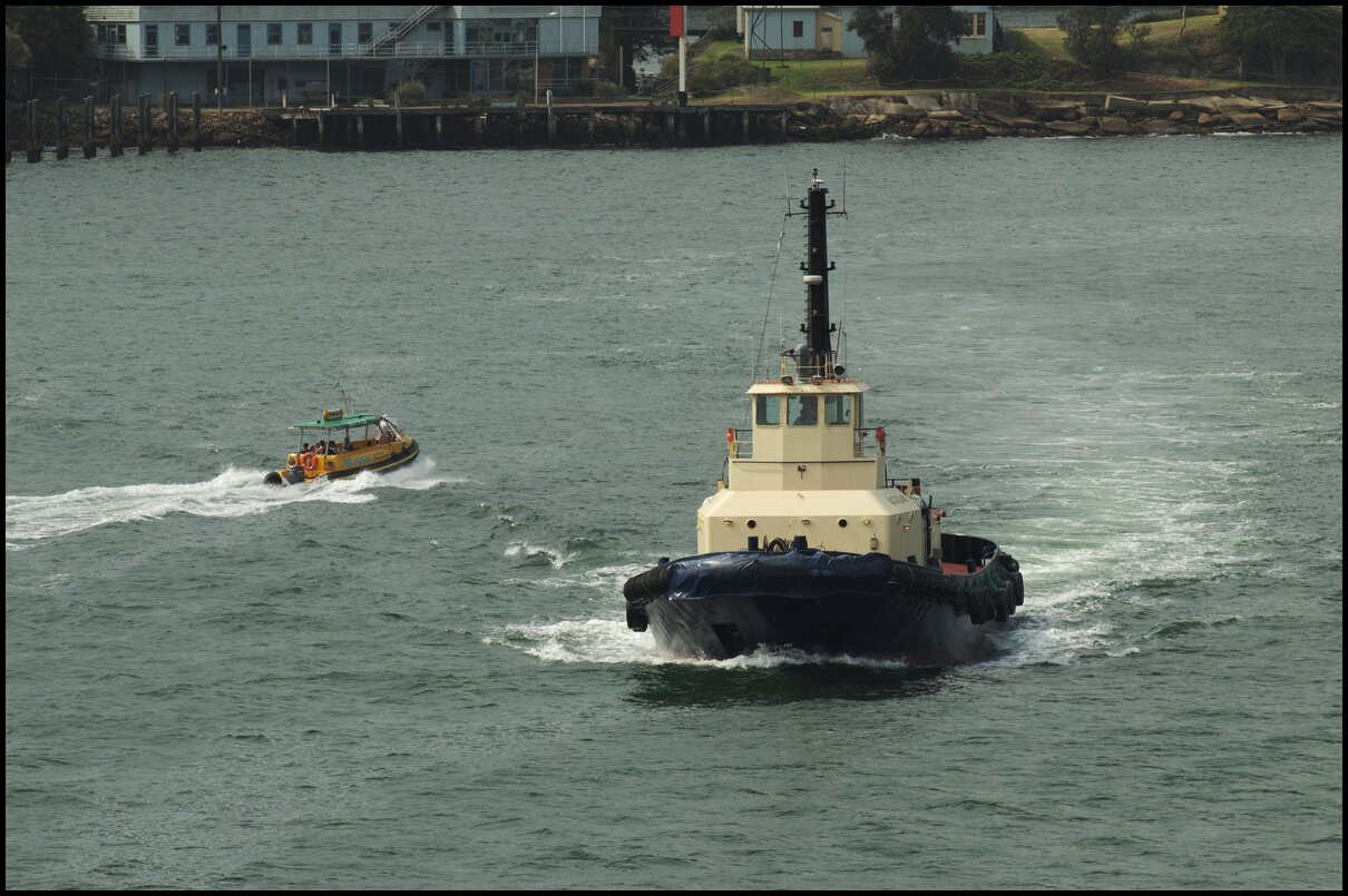
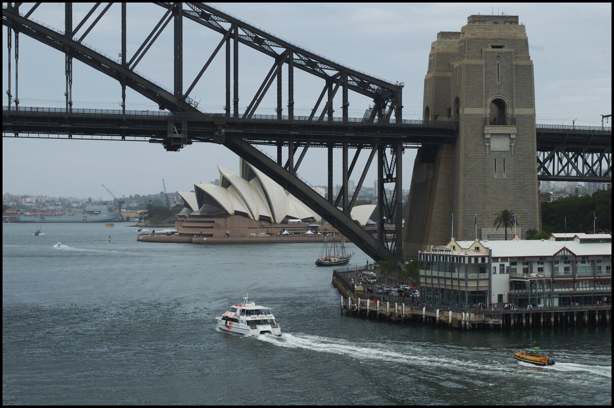
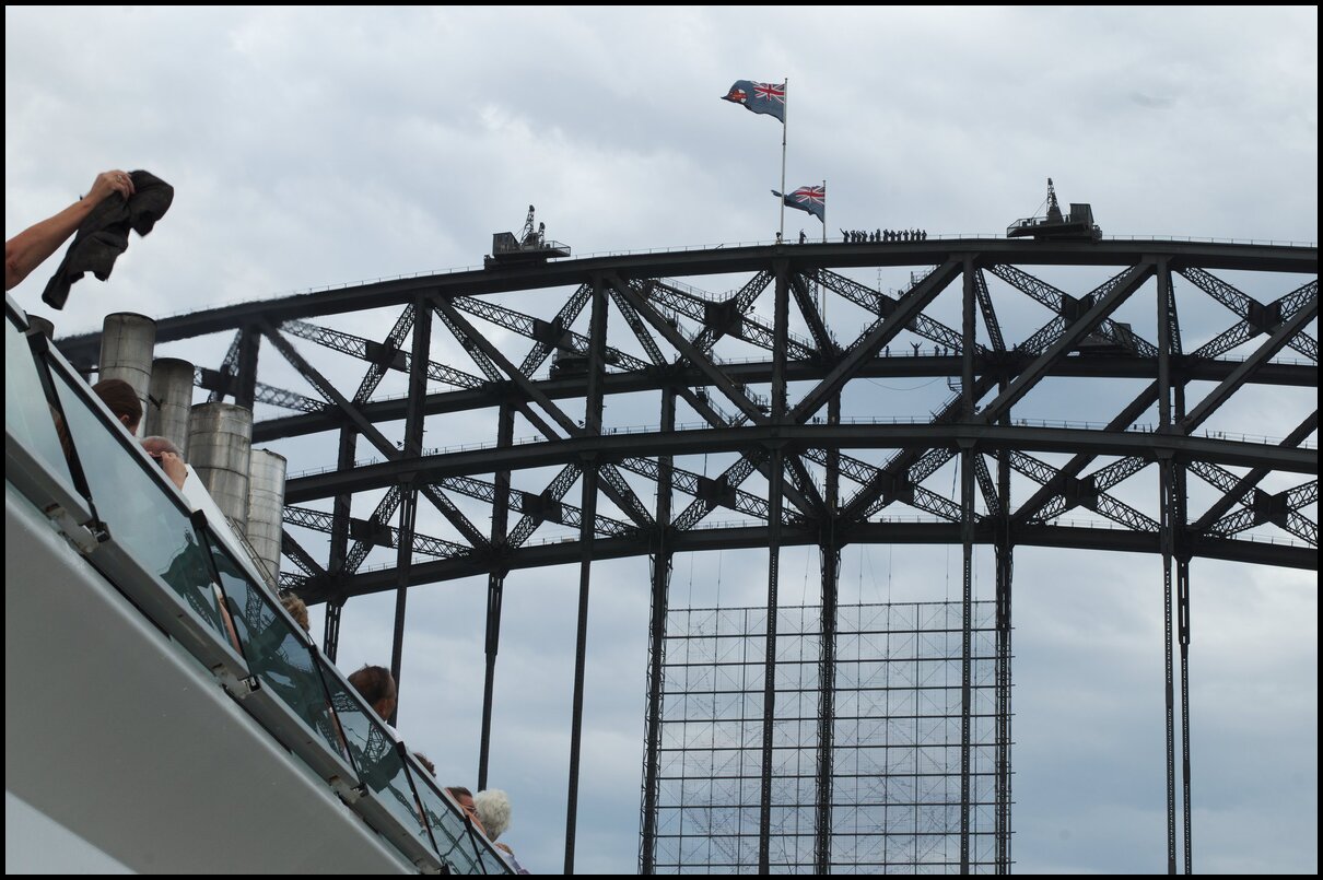
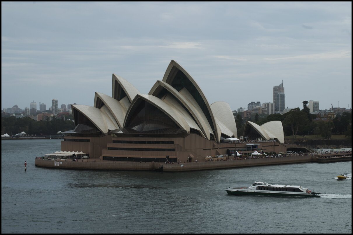
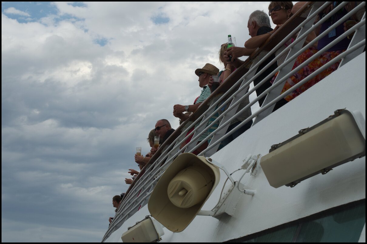
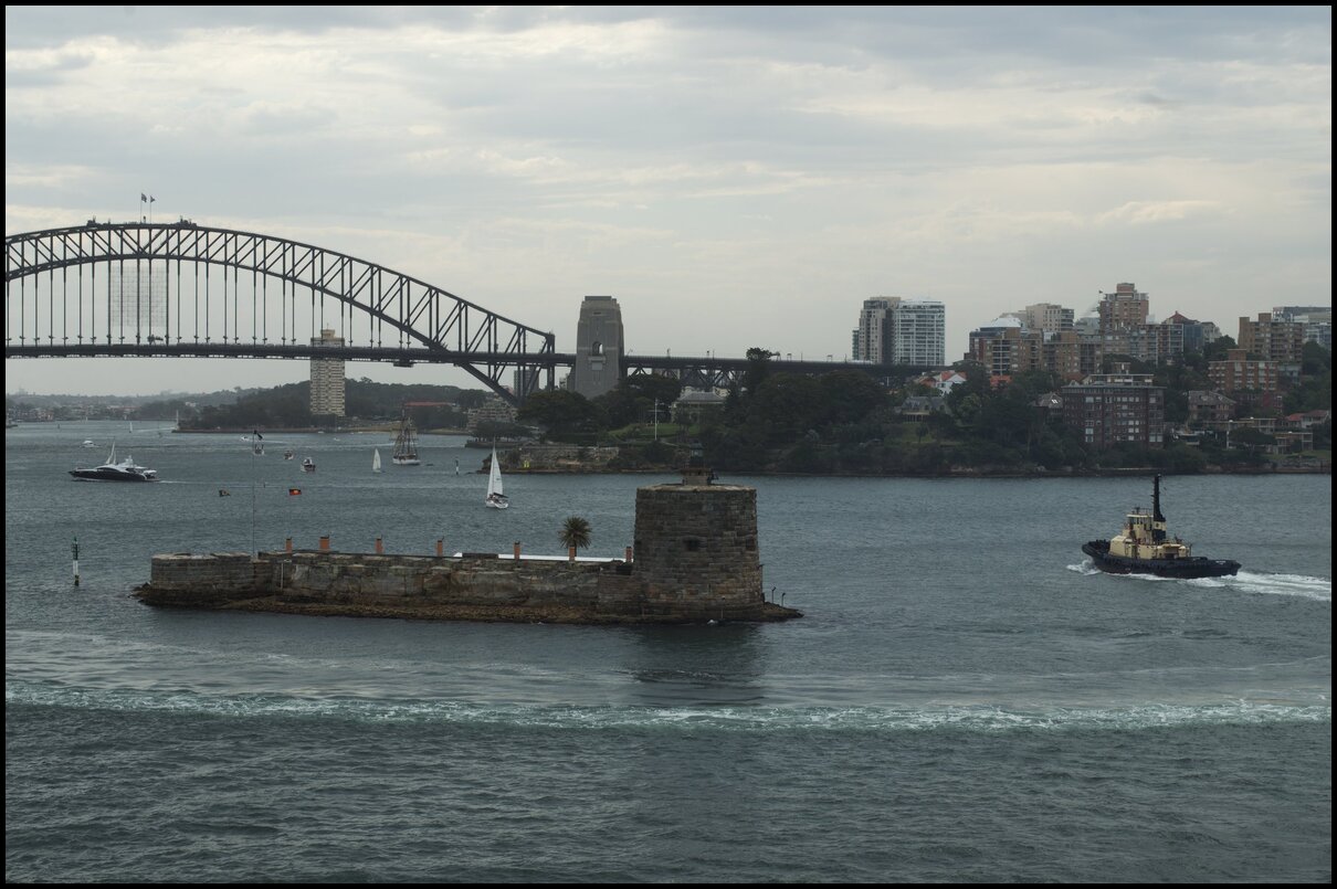
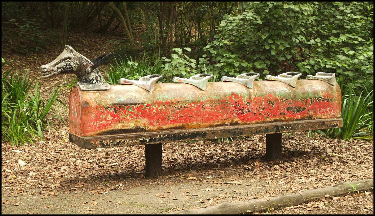
Ten years ago my mother-in-law generously paid for our family (and her and her sister) to take a cruise to/around New Zealand. Given that this is the tenth anniversary of that trip, for the next couple of weeks I’ll be posting some photos on the anniversary of their occurrence.
There will be little to no commentary, and no family photos will be shown.
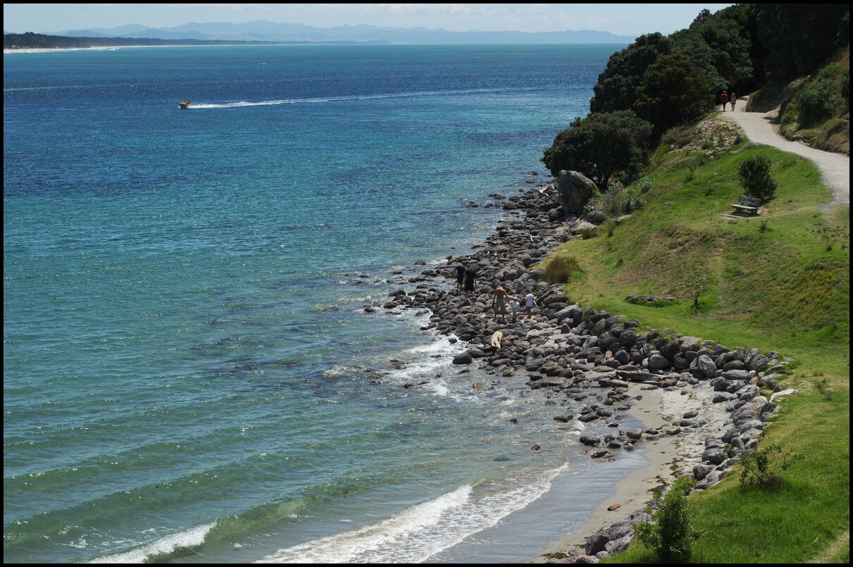
In this last batch of holiday photographs we undertook the “Gould’s Circuit” walk in the Warrumbungle National Park. The walk is a 7 km circuit from Pincham carpark heading south to Febar Tor and Macha Tor. Both tors offer magnificent views into and across the valley containing the Breadknife, Belougery Spire and several other bluffs.
The views are fine from Febar Tor, but even better a bit further south from Macha Tor. You could just visit Macha Tor. Be prepared for a reasonable workout to ascend (and descend) both Tors!
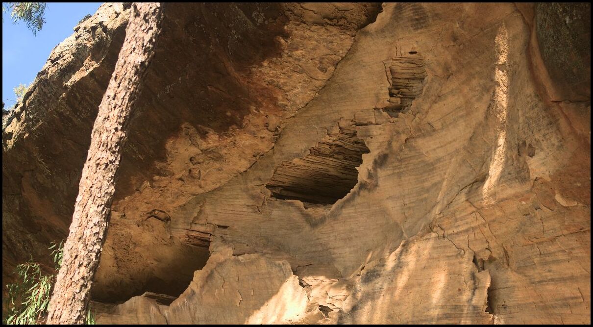
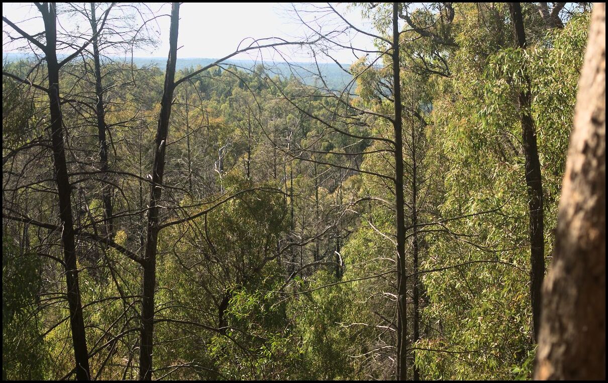
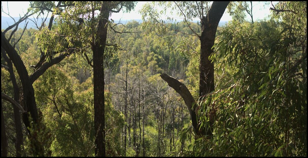
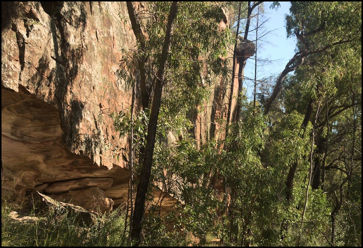
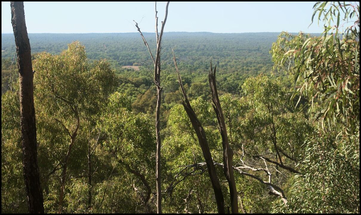
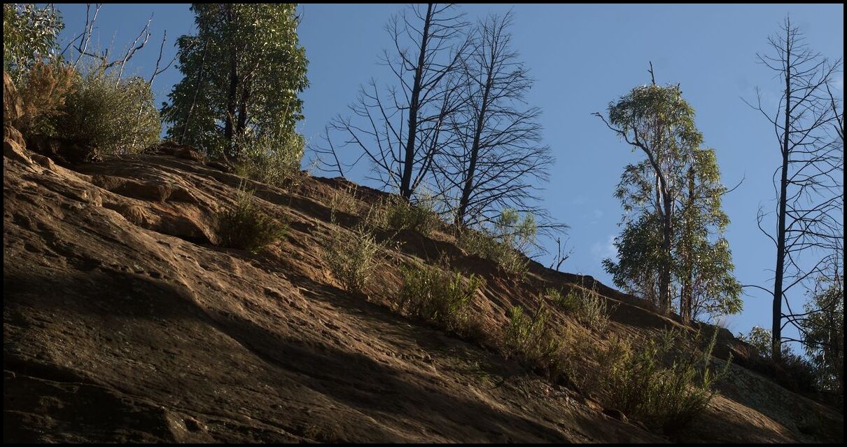
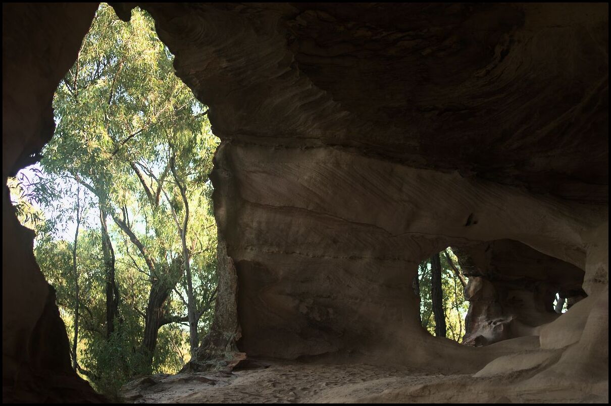
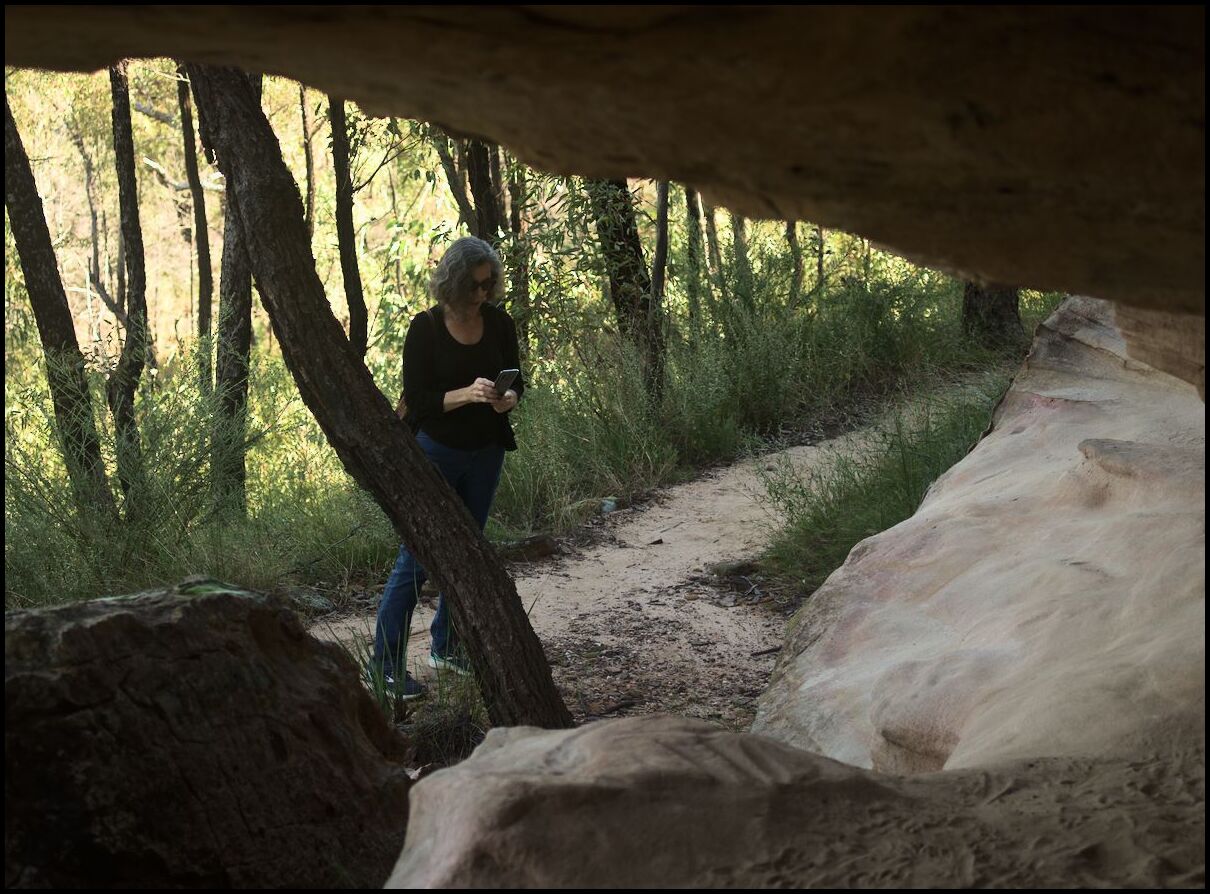
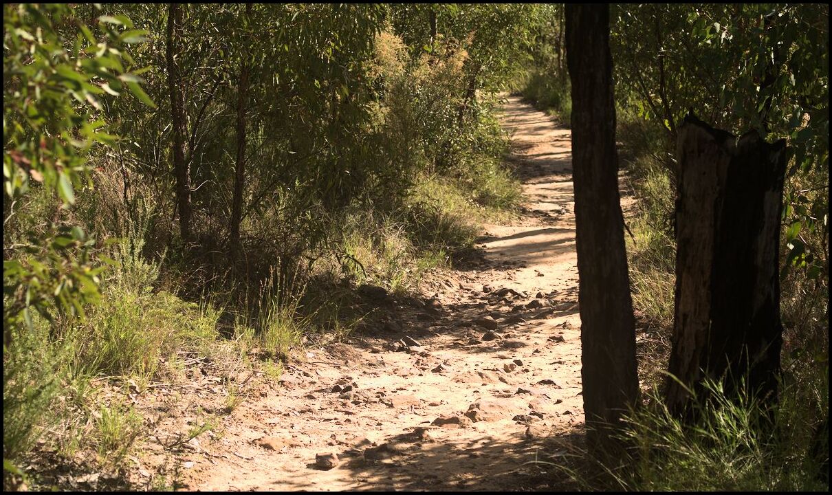
Heading further north we spent a morning walking the Sandstone Caves track in the Pilliga Forest, and the afternoon between Coonabarabran and Barradine.
Signs of regrowth
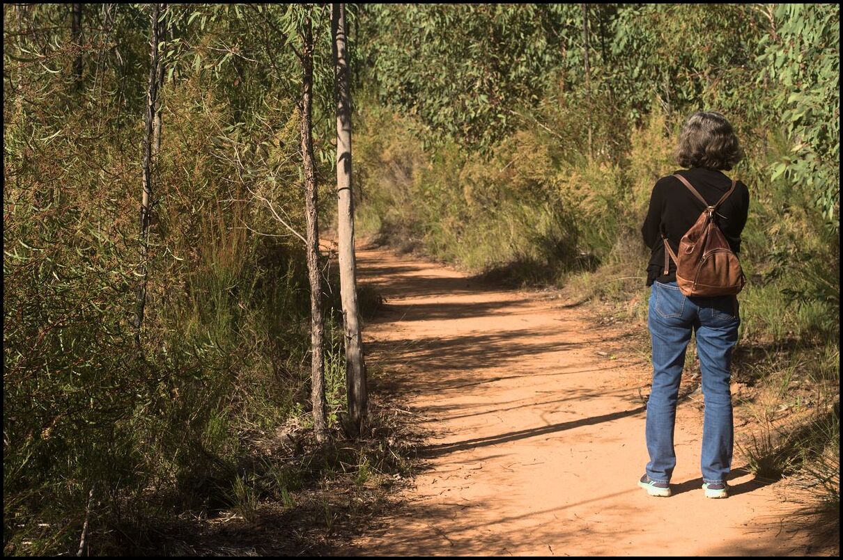
The way in
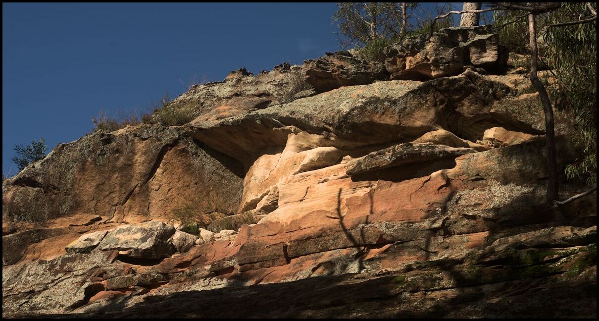
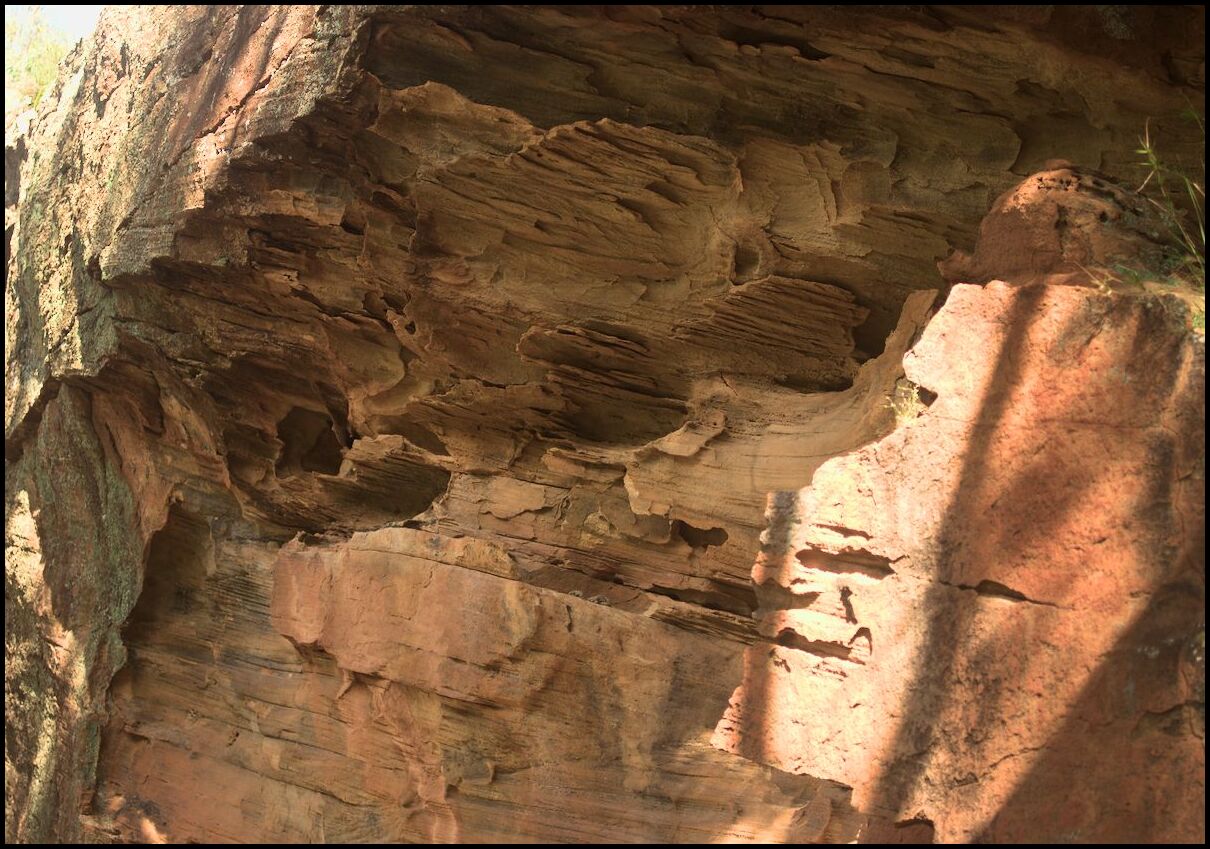
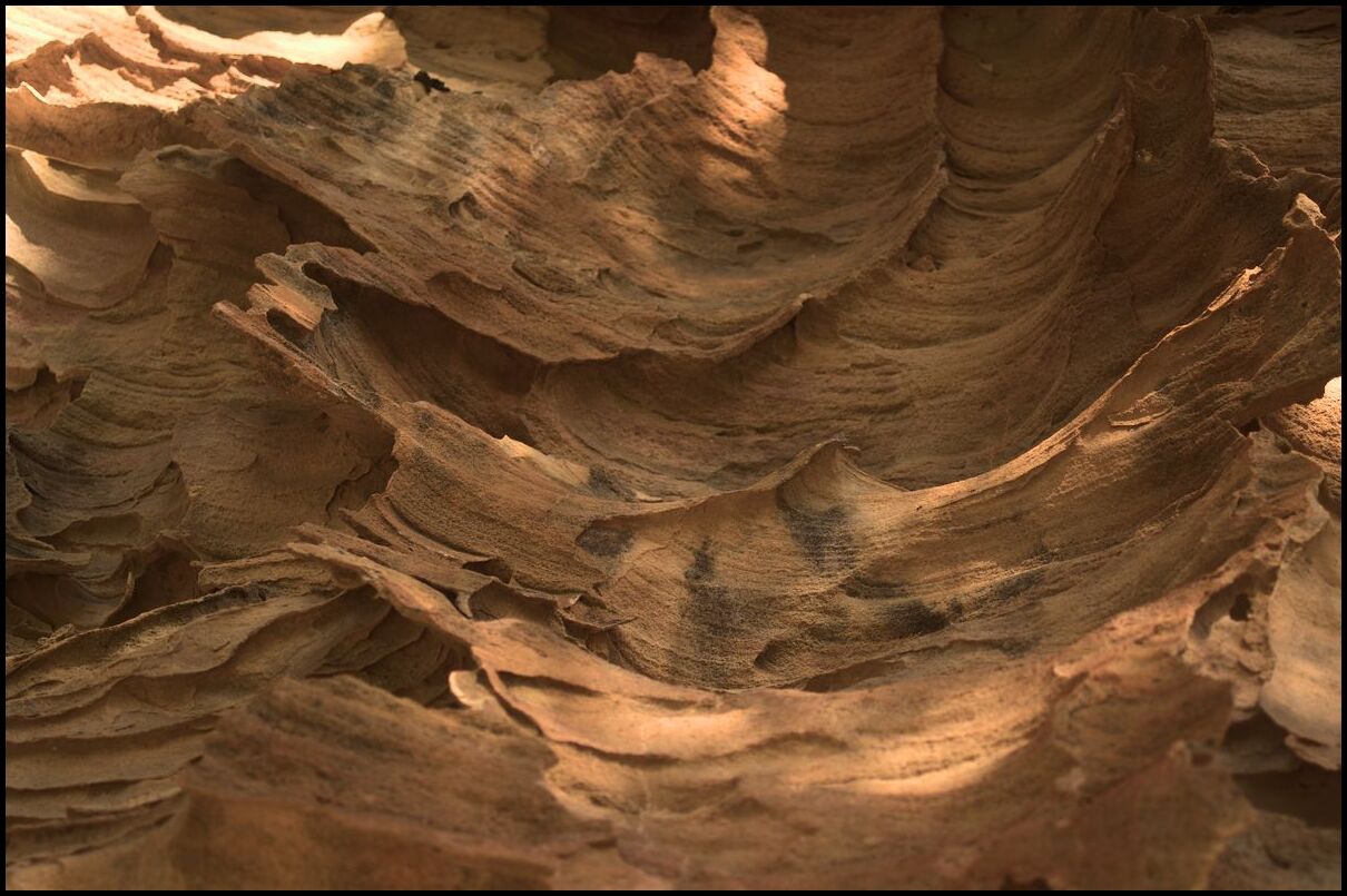
Some bizarre patterns
A mighty big lump of sandstone
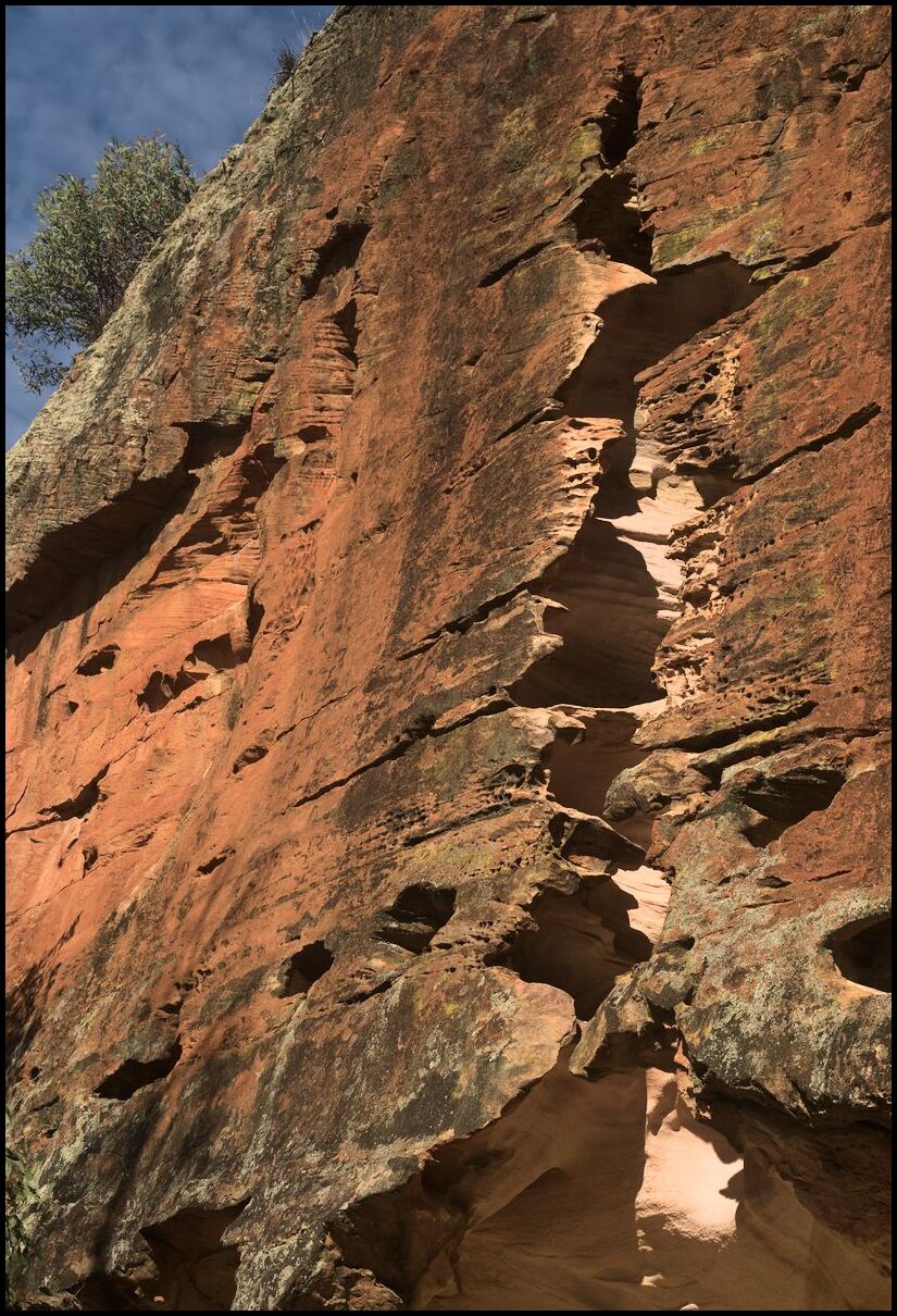
Holes within holes
The way out
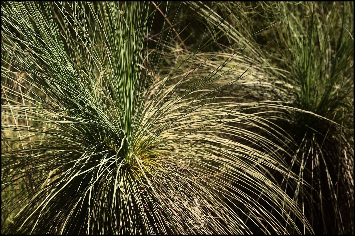
Grasstrees
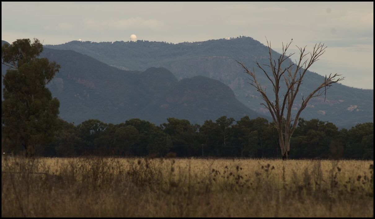
Siding Spring Observatory from the Barradine Road
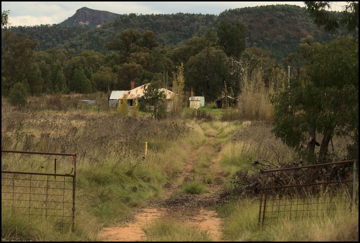
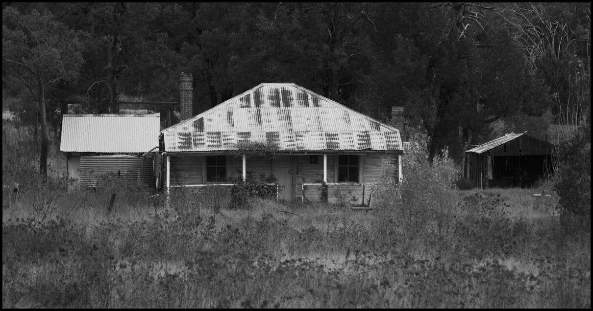
An abandonded farm?
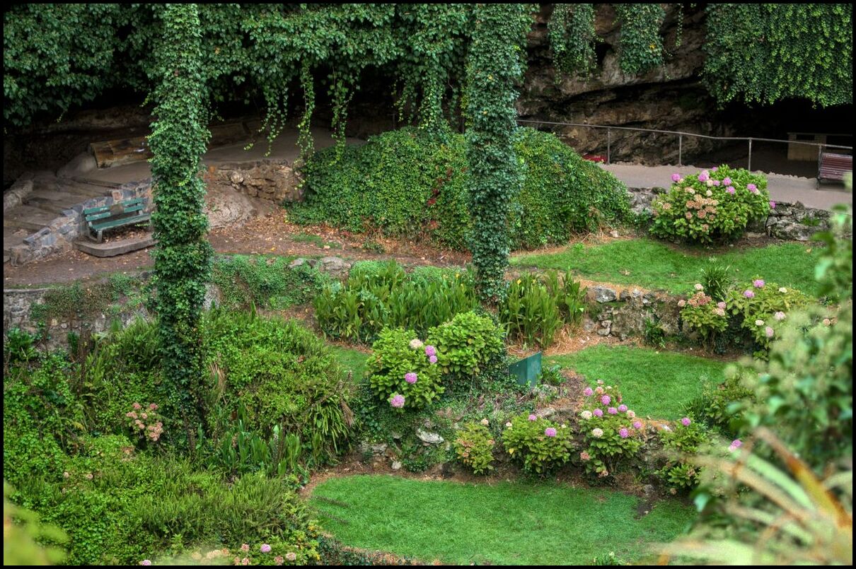
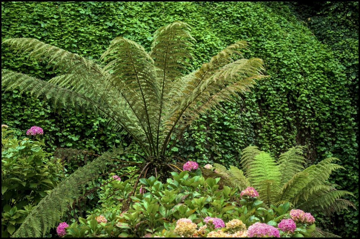
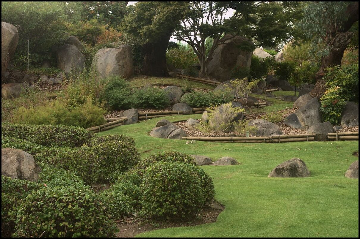
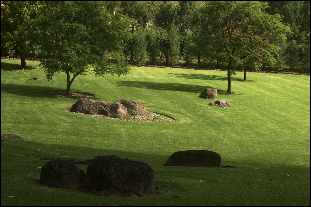
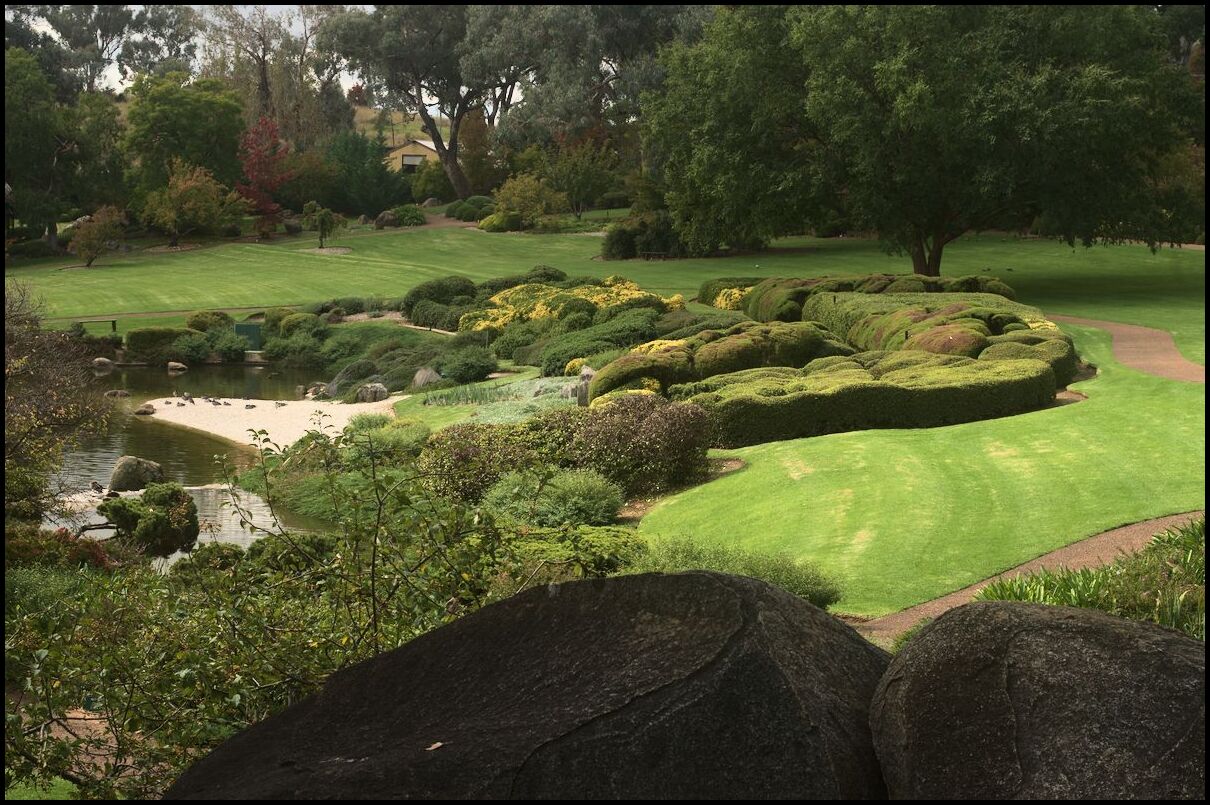
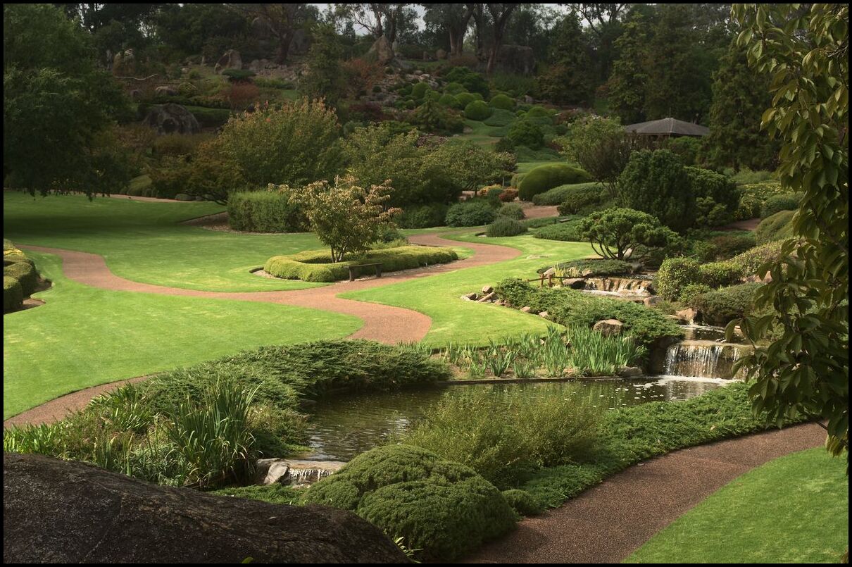
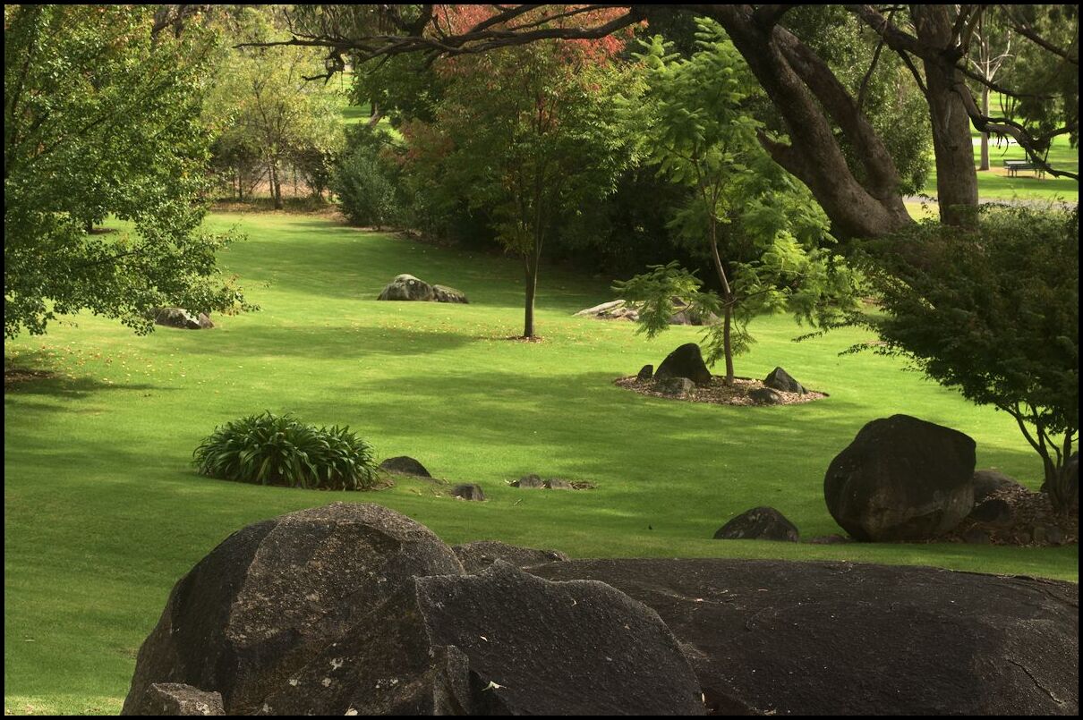
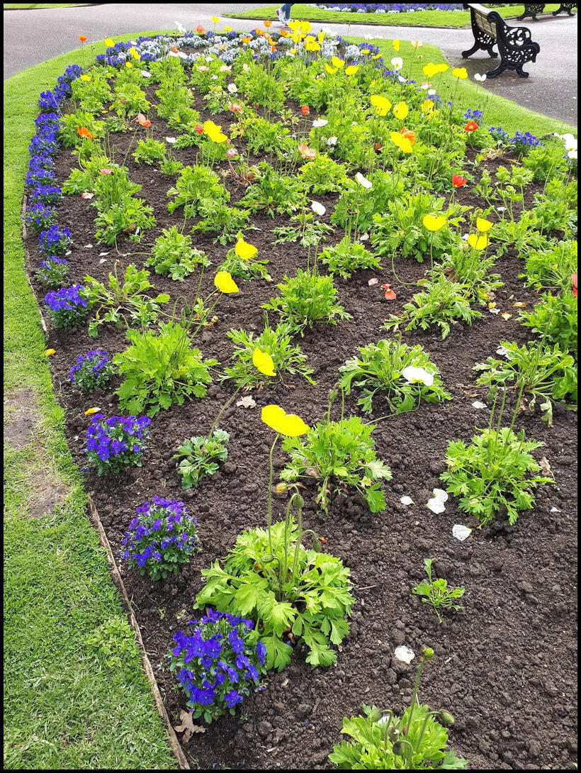
Continuing the holiday trip we spent some time in the botanical gardens in Dubbo. The gardens are divided into a number of areas incuding Japanese, Indigenous, and an Adventure playground area.
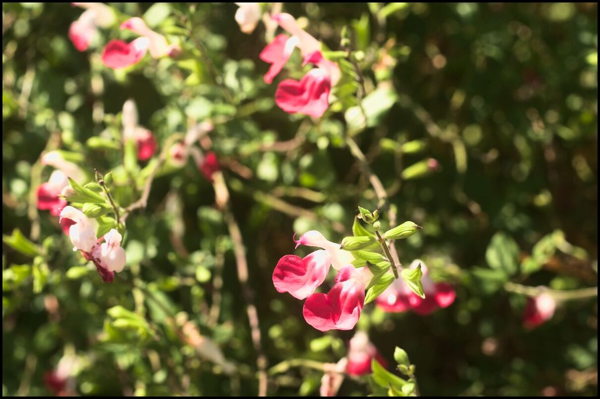
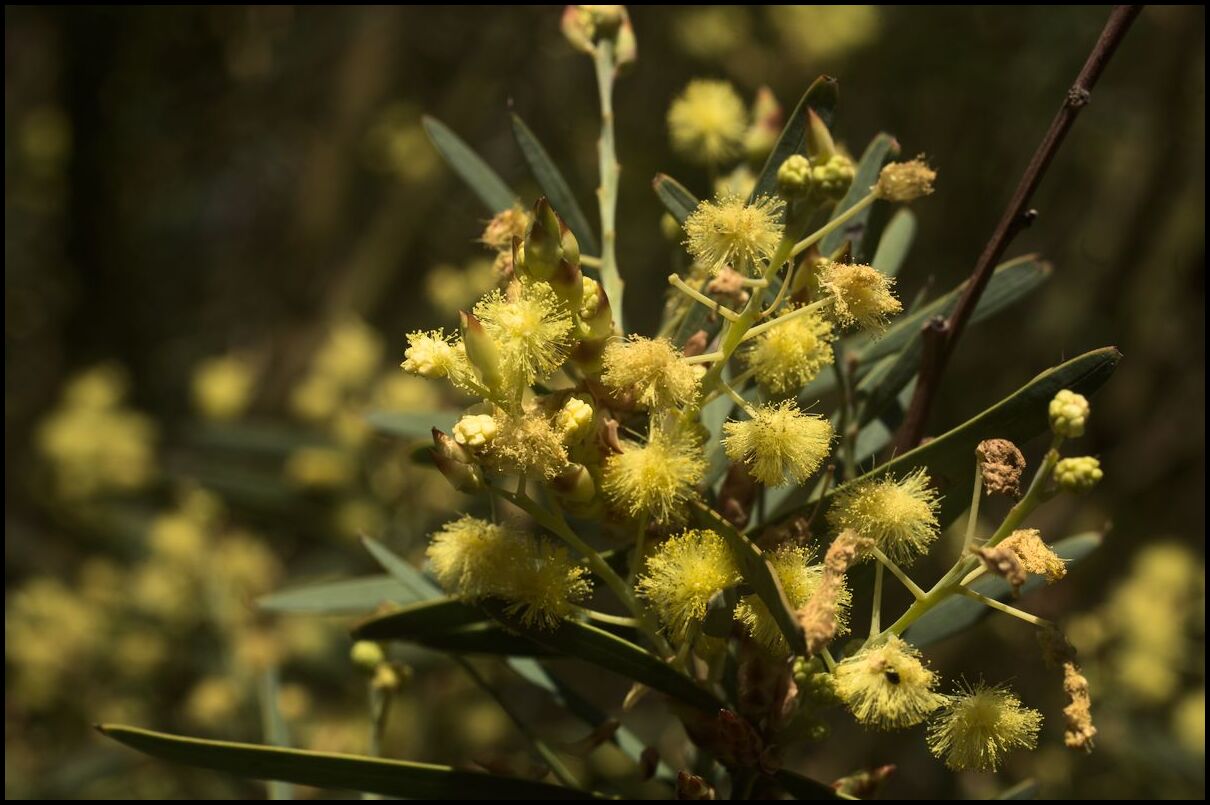
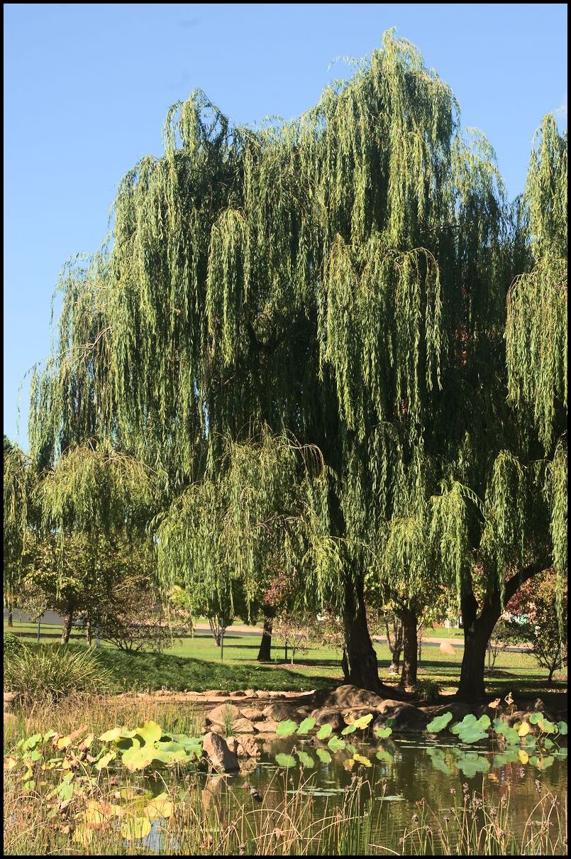
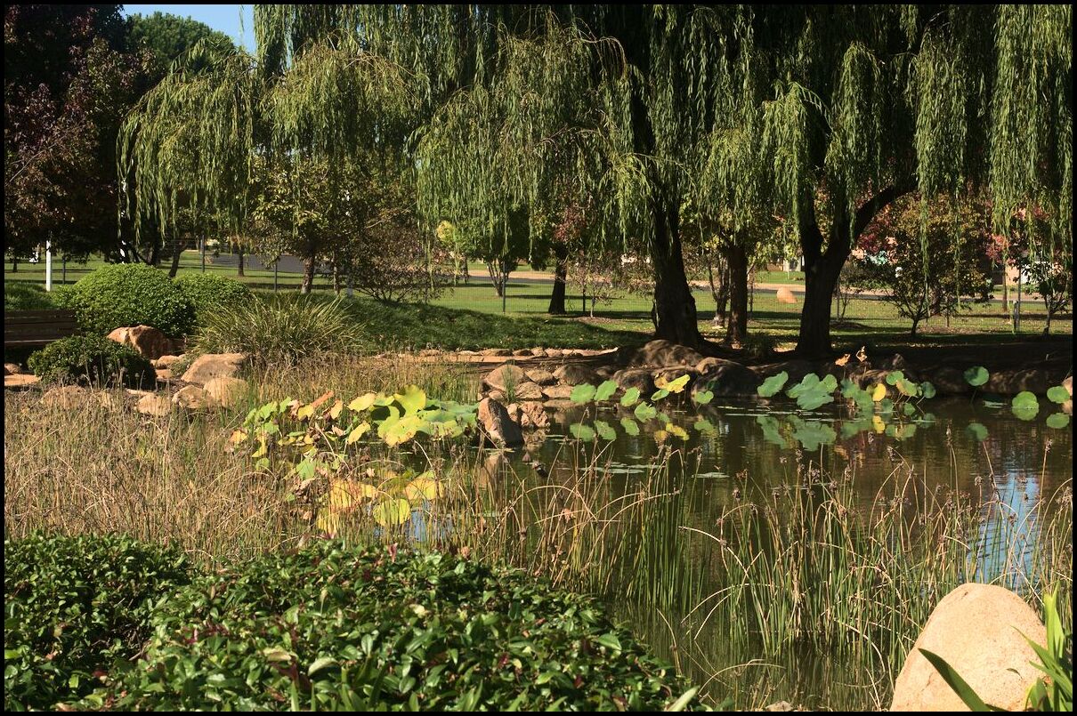
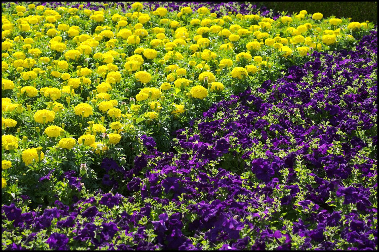
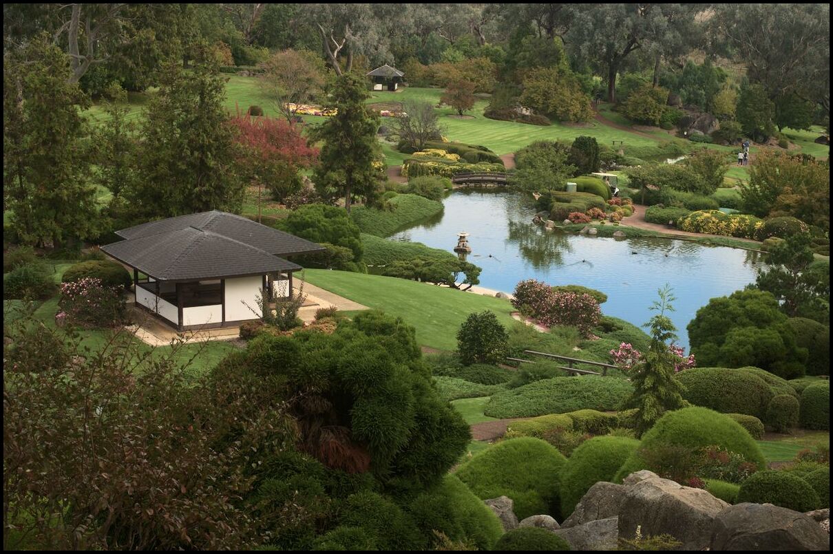
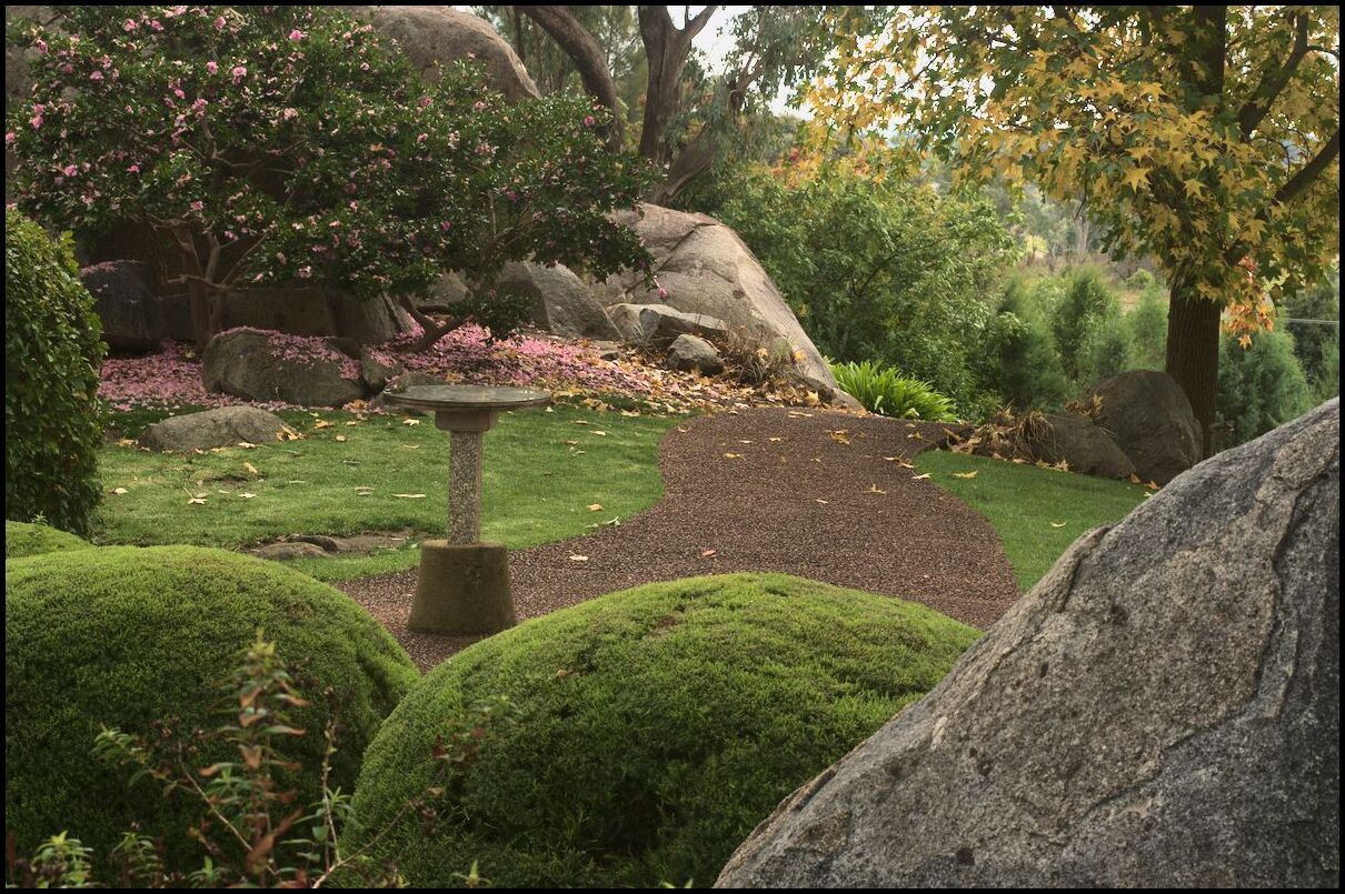
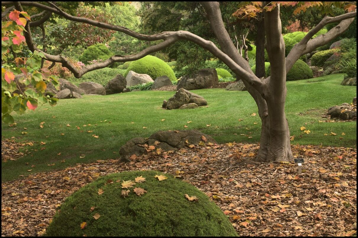
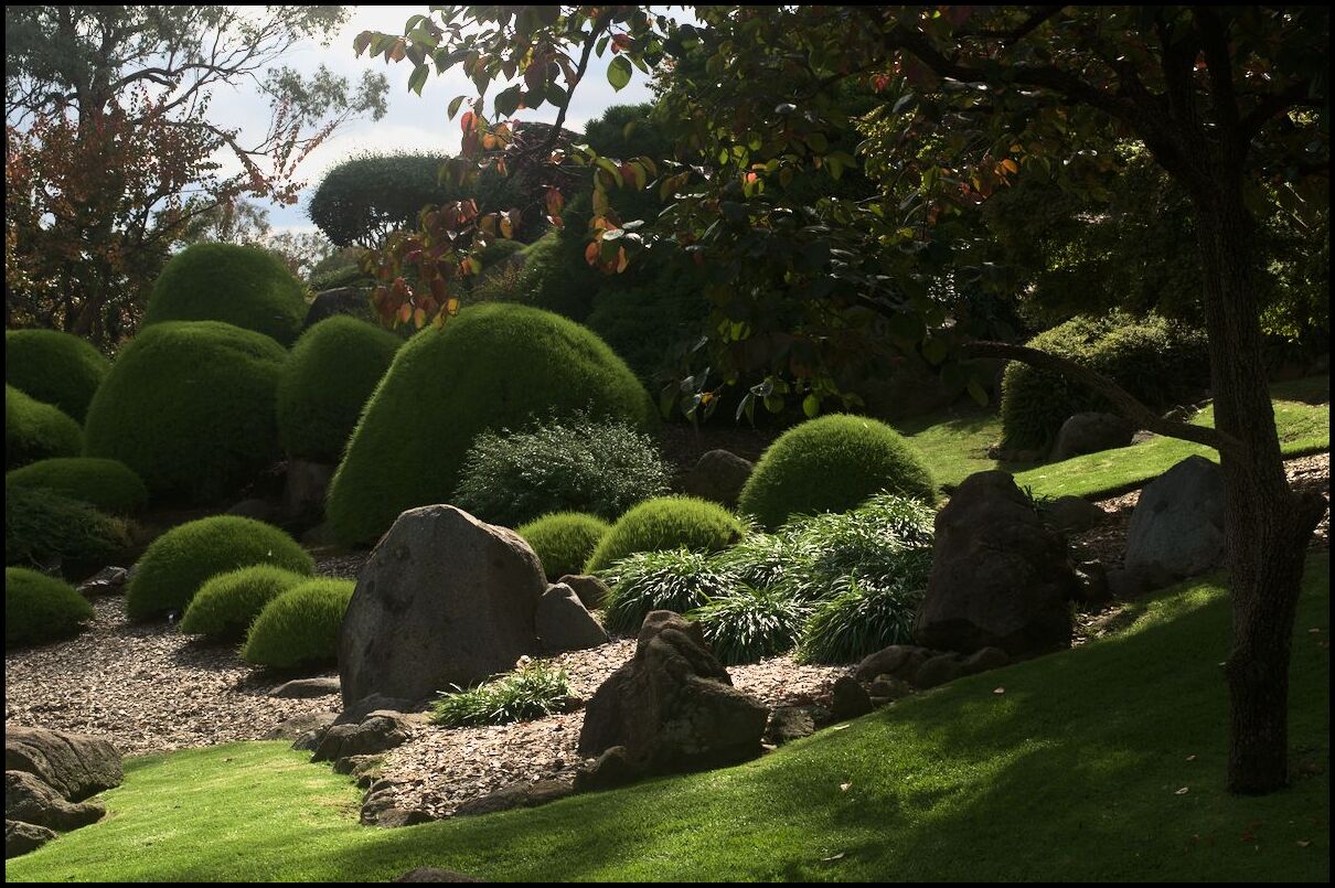
On our recent holiday we visited the Japanese Gardens in Cowra. There is something of a link between the Japanese and the people of Cowra as a result of the breakout from the Cowra POW camp in 1944. Here is a selection of photos from the gardens. Sunshine appeared about half way through!
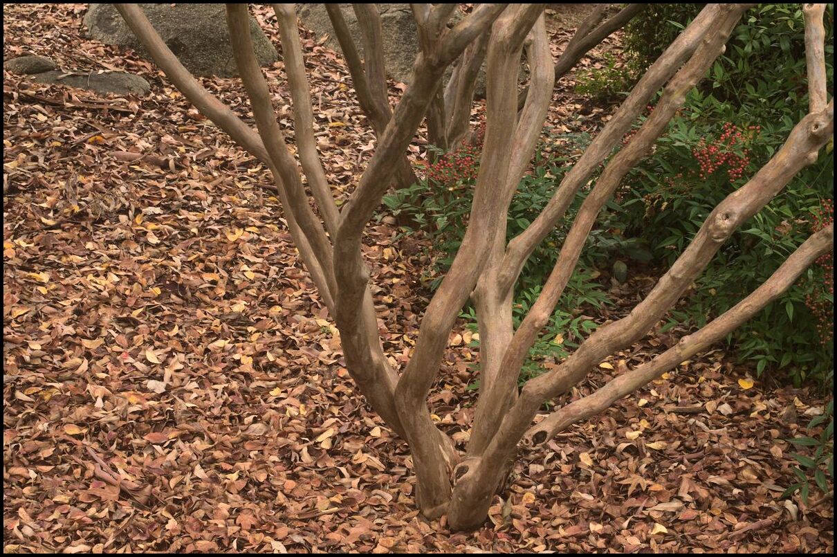
Crepe Myrtle
Weak sunshine
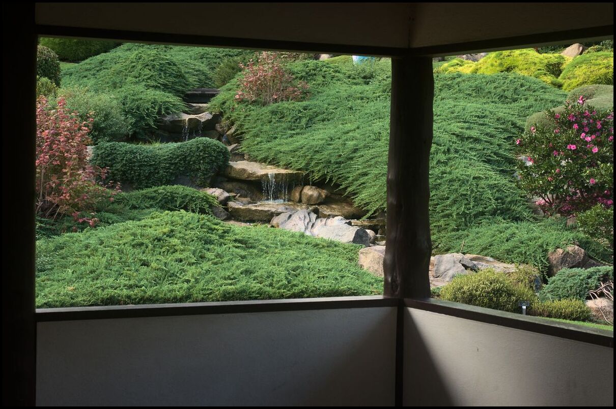
From the teahouse
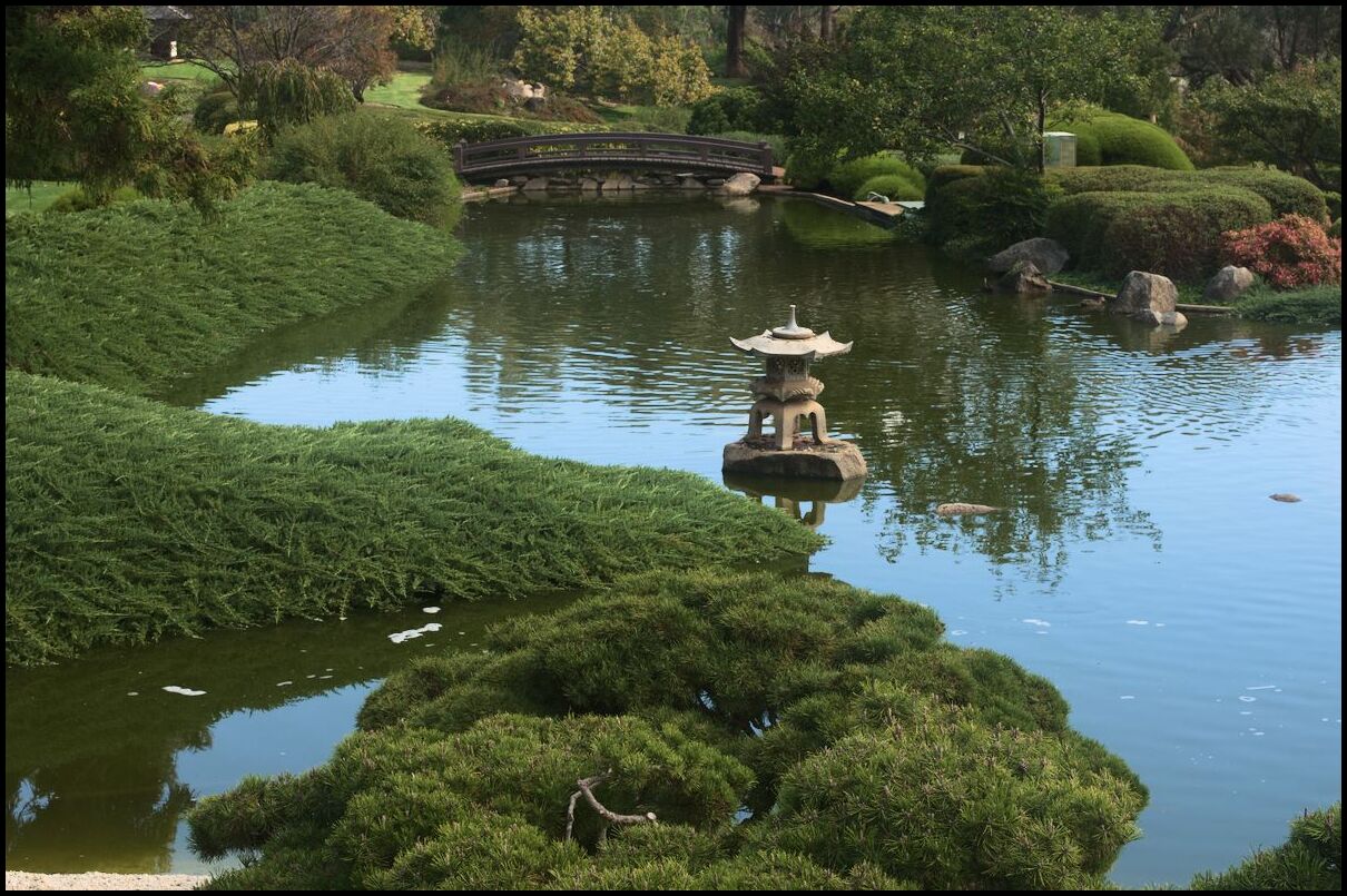
A place to pond-er
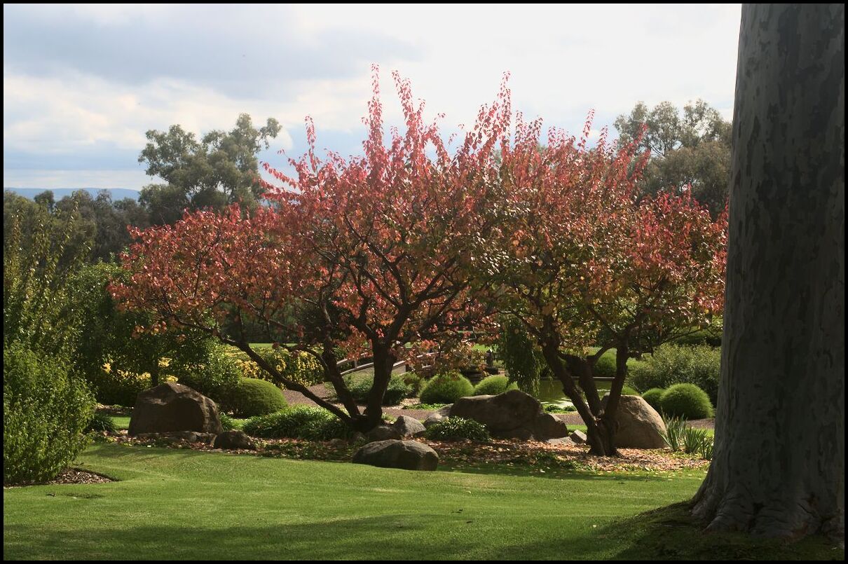
Spring and autumn probably look the best


Here are some photos in Christchurch converted to black & white, with contrast and noise boosted to partially emulate high speed film.
Cranmer Square
Armagh St, looking east

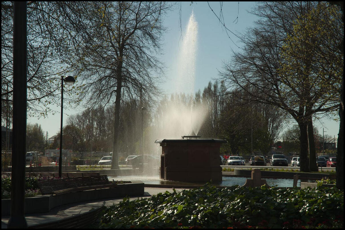
Bowker Fountain, Victoria Square
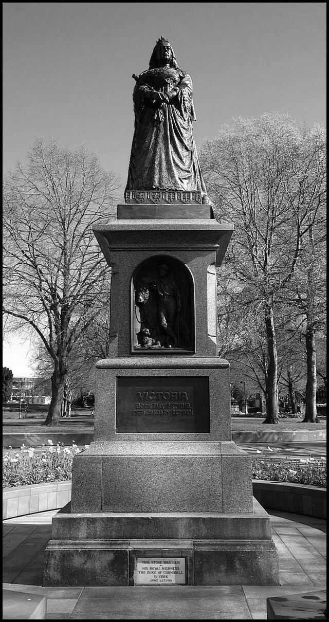
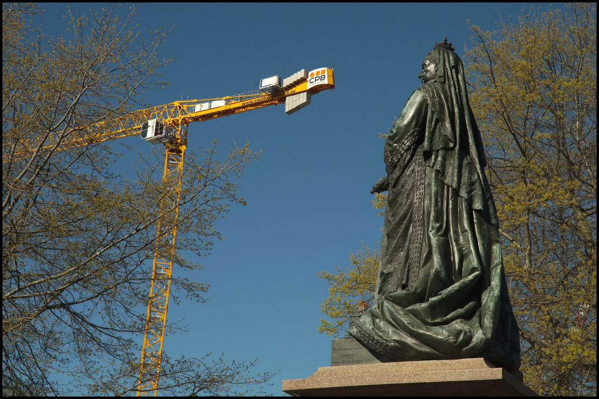
Victoria, Victoria Square
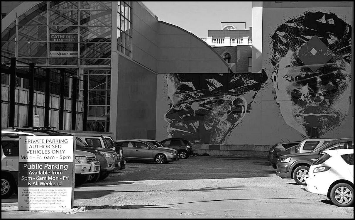
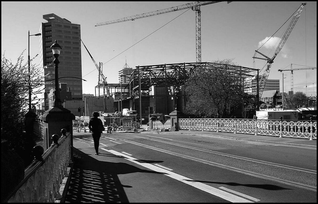
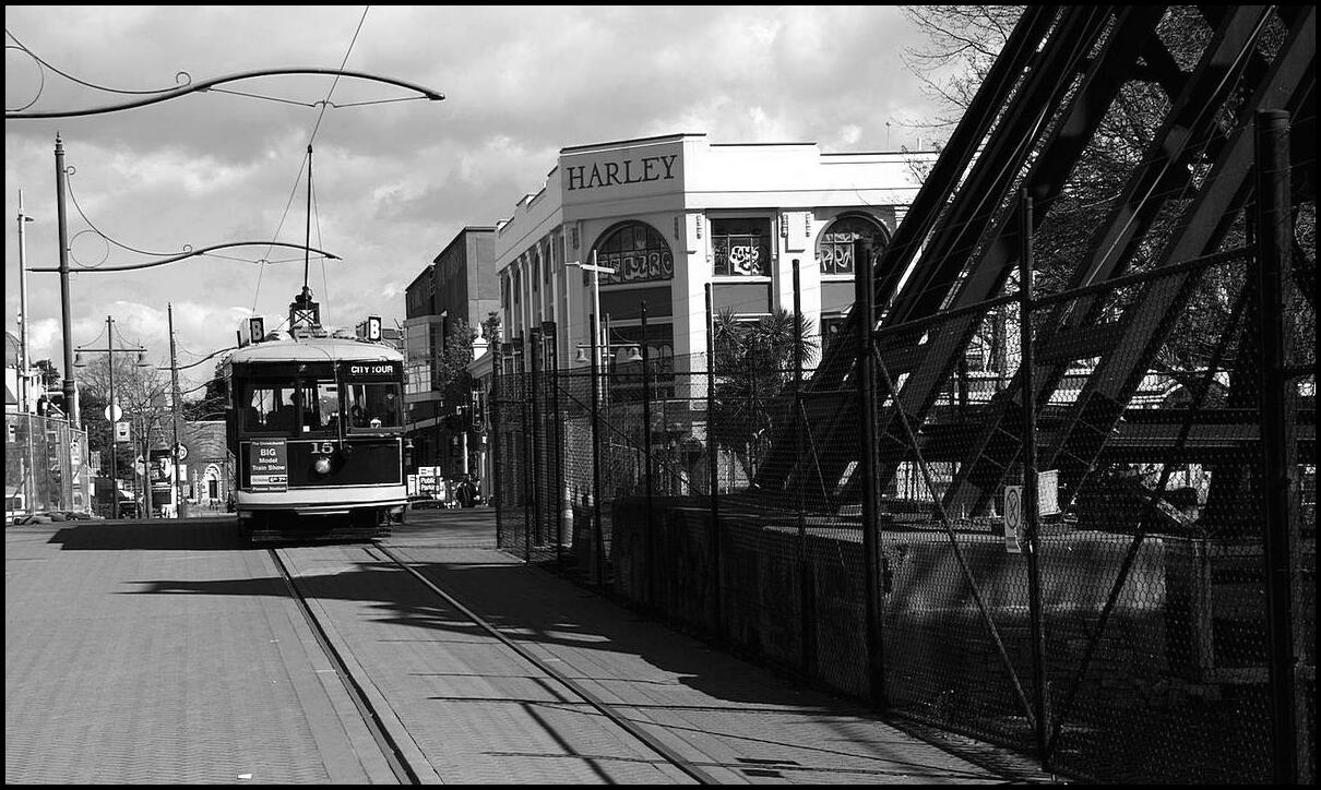
Cathedral Junction from Gloucester Street

New Regent Street
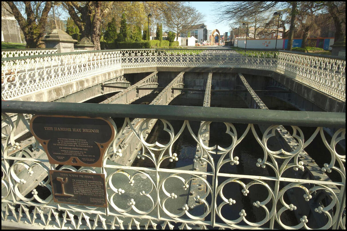
The Christchurch Club, Latimer Square
Transitional Cathedral across Latimer Square
Transitional Cathedral
Cashel Street
170 Cashel Street
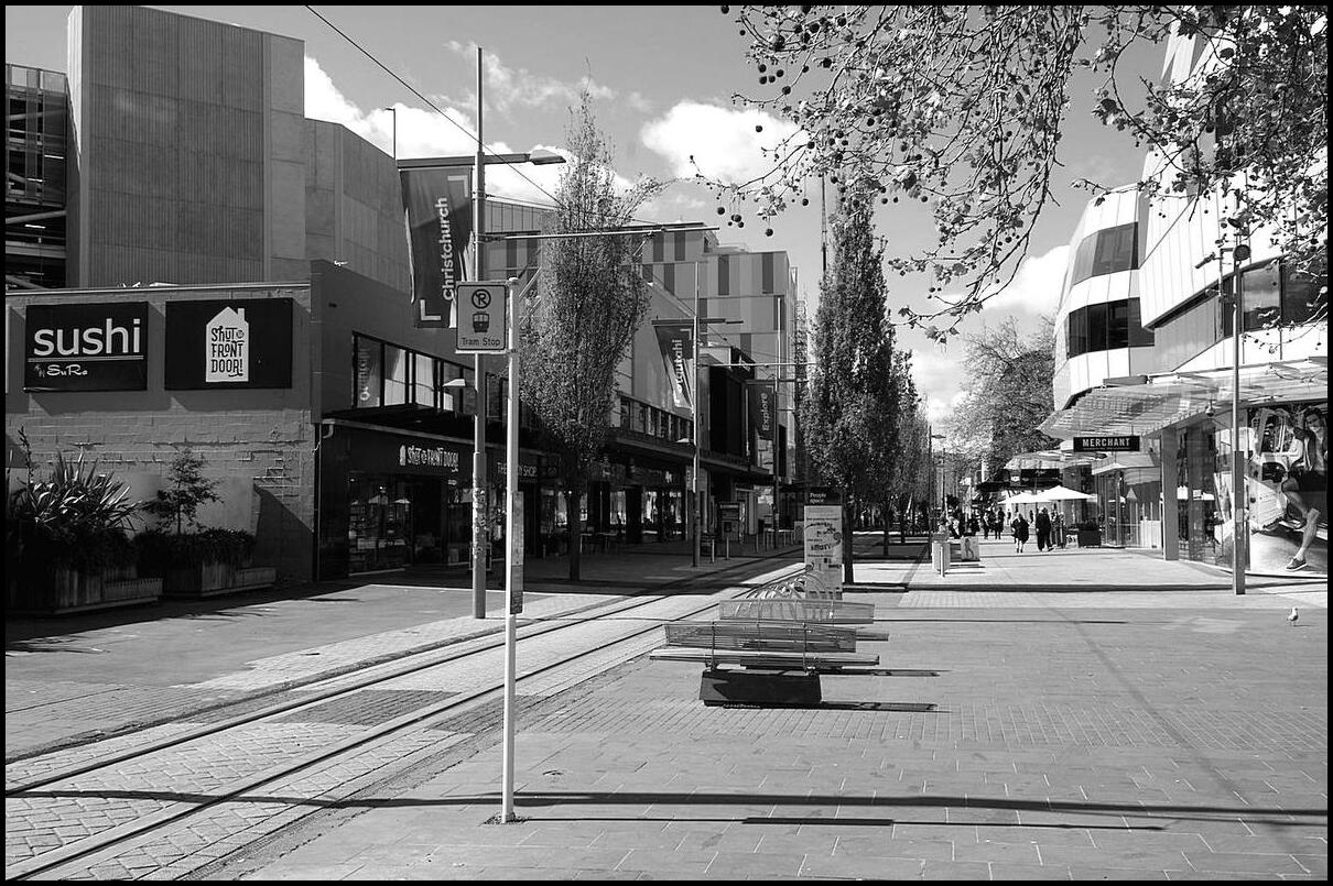
High Street
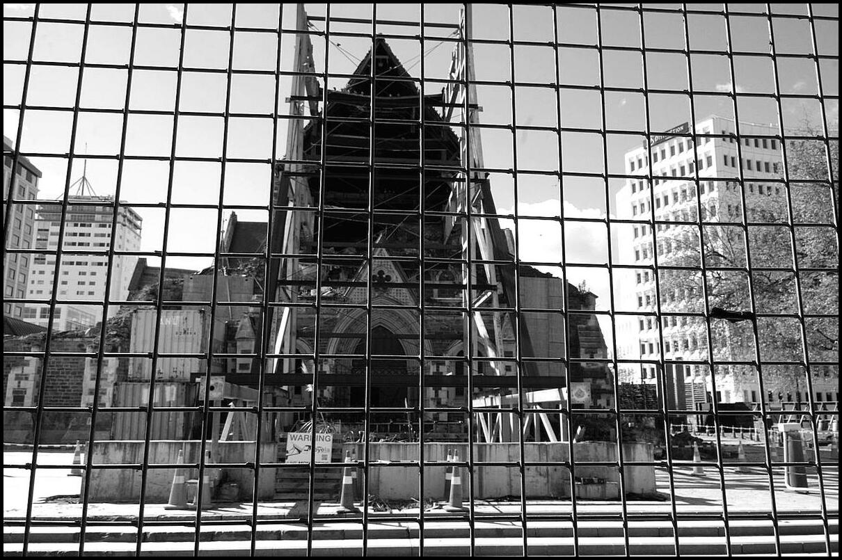
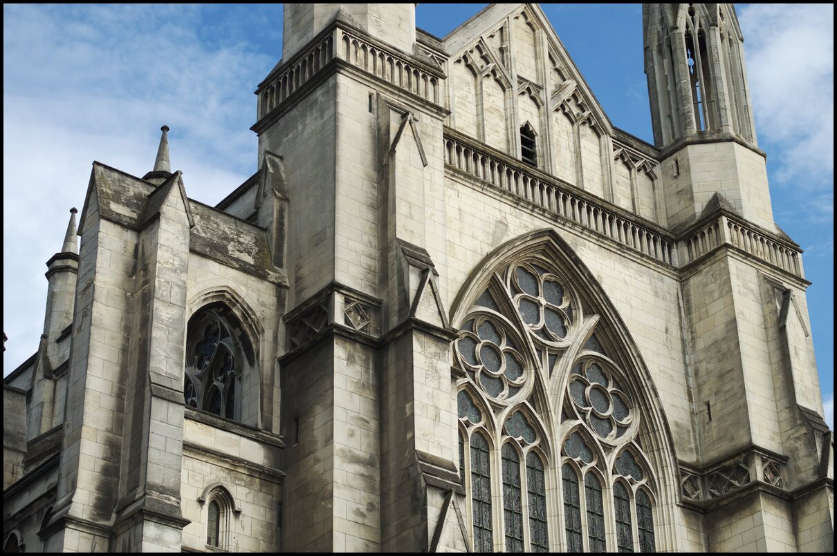
Christchurch Cathedral
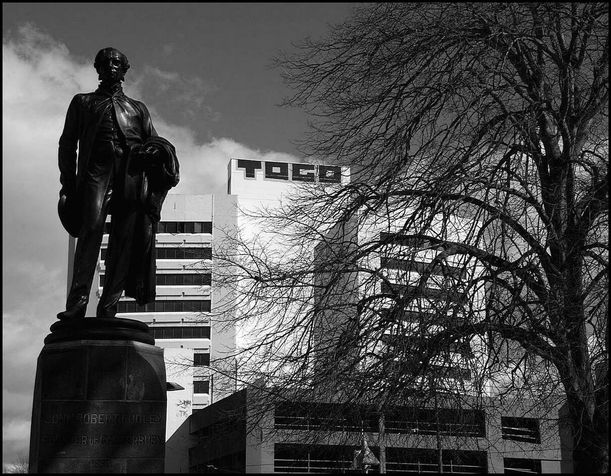
Godley Statue, Cathedral Square
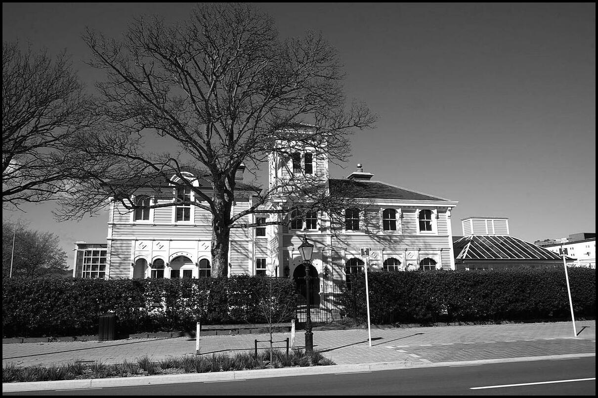
Municipal Building, Oxford Terrace
Crossing the Avon
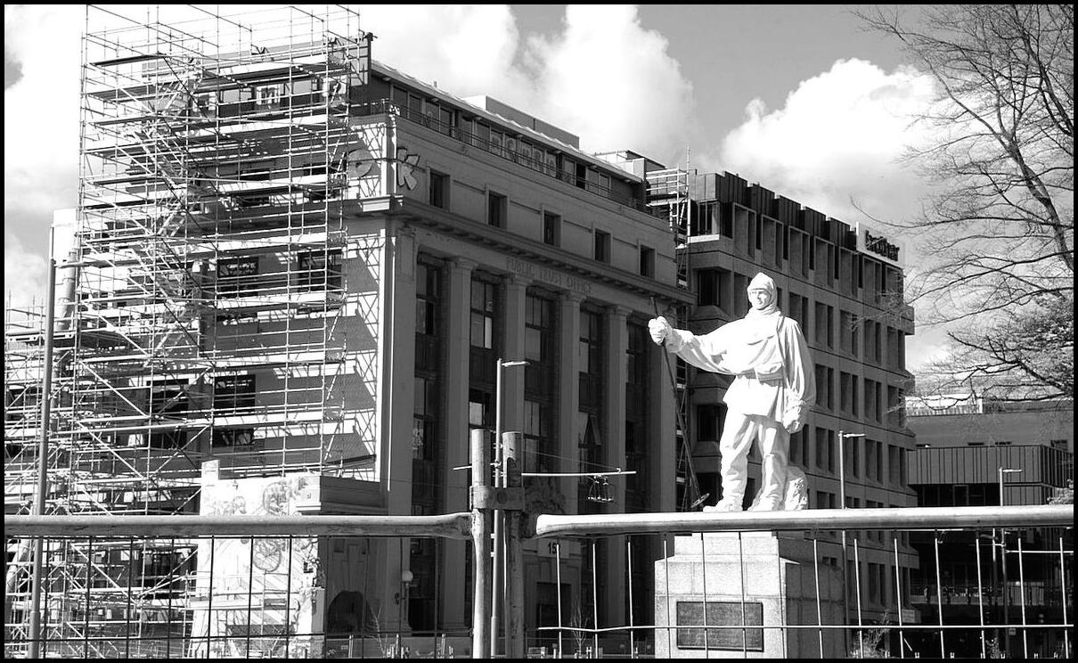
Great Scott. Scott statue at the corner of Oxford and Worcester
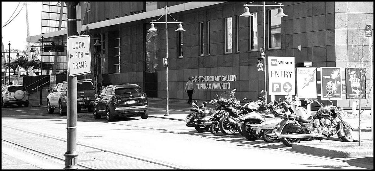
Christchurch Art Gallery
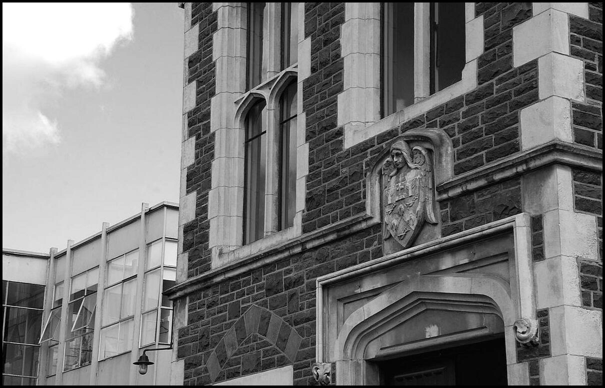
Canterbury Museum Arts Centre Quadrangle I
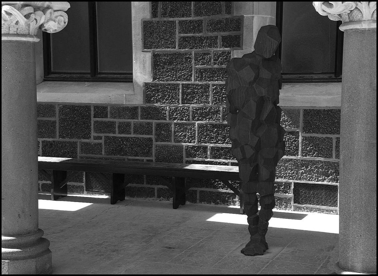
Canterbury Museum Arts Centre Quadrangle II
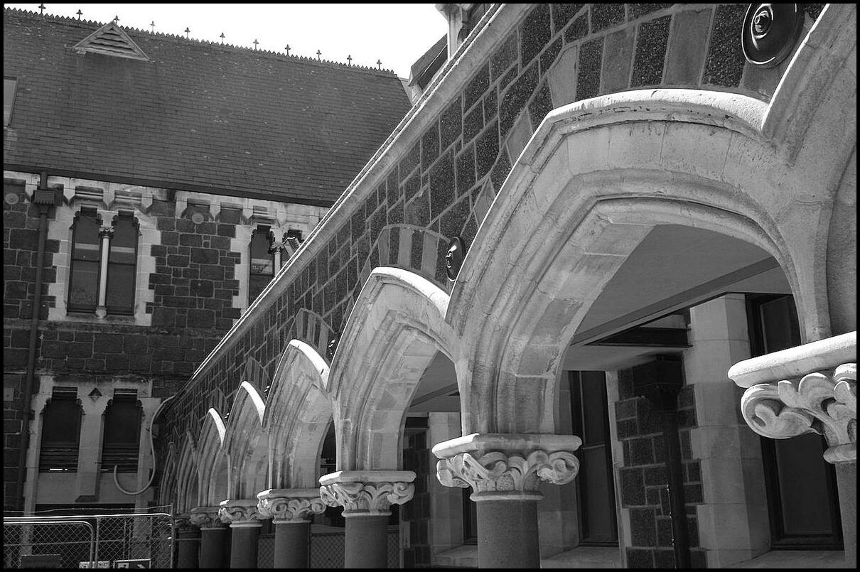
Canterbury Museum Arts Centre Quadrangle III
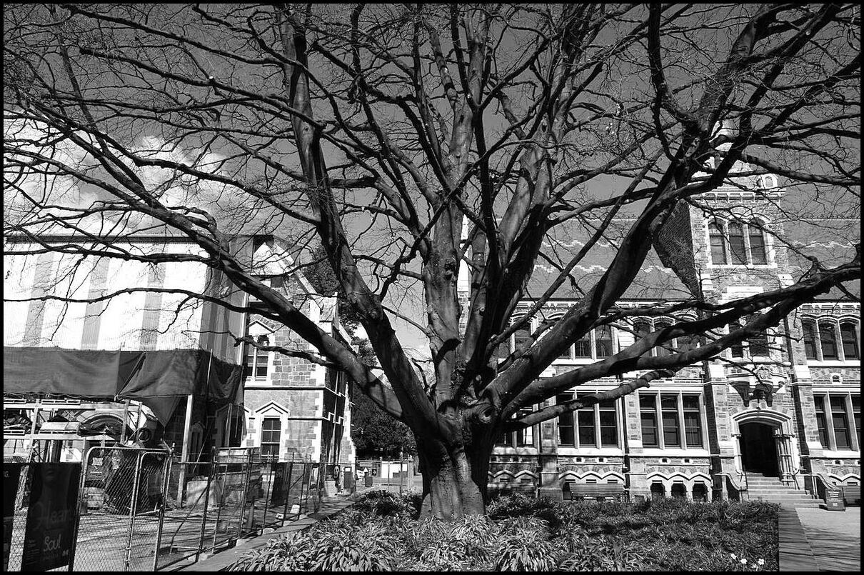
Canterbury Museum Arts Centre Quadrangle IV
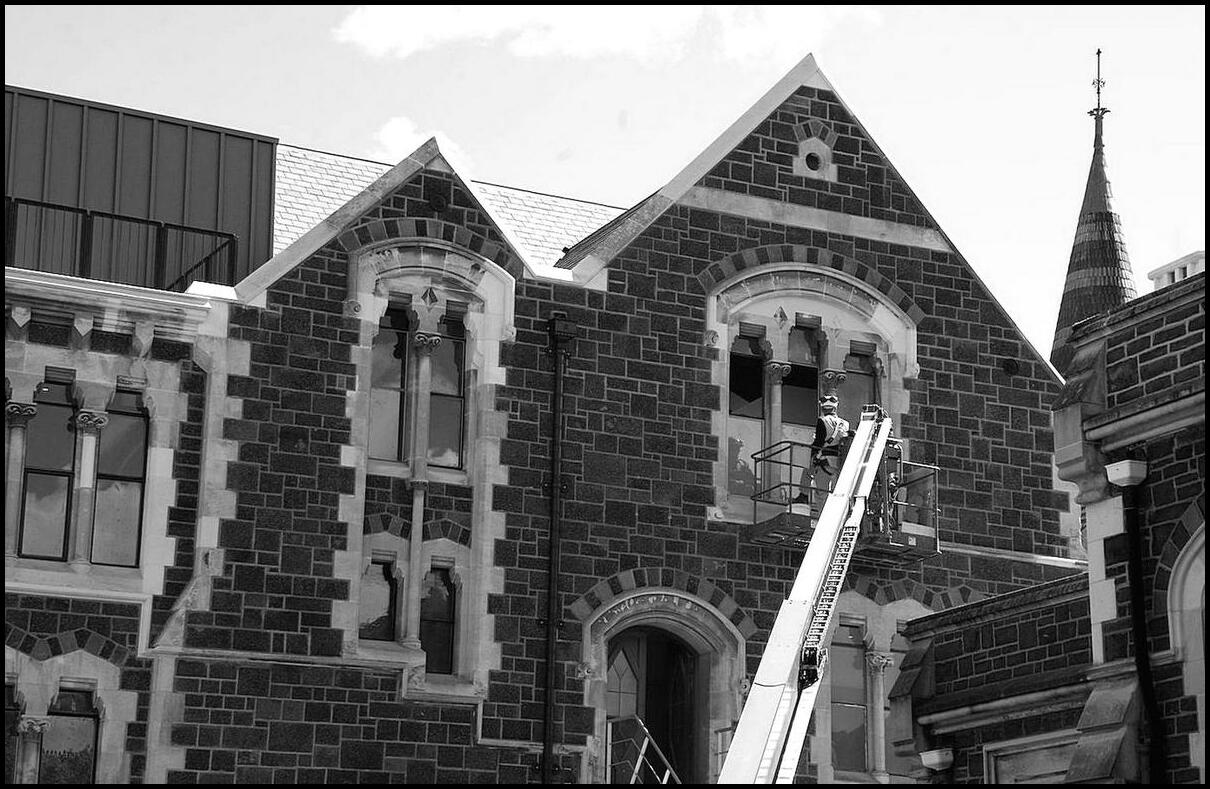
Canterbury Museum Arts Centre Quadrangle V
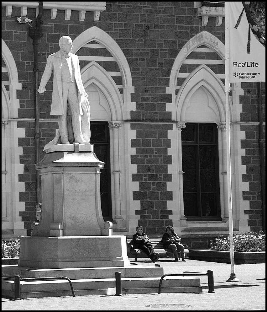
Real Life outside the Canterbury Museum
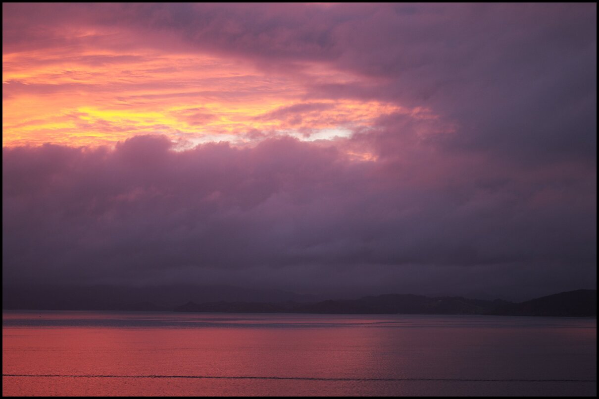
Our final holi-day was spent looking around the coast north of Christchurch then winging our way to Sydney.
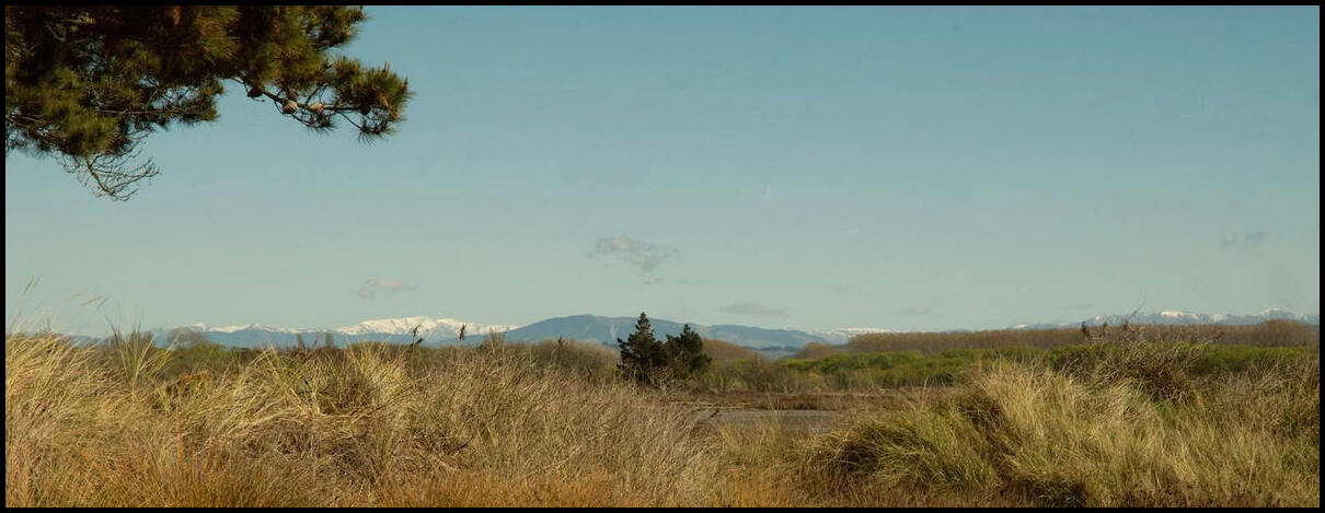
At Waikuku Beach. Bizarrely here, at the beach, you could see snow-capped mountains in the distance
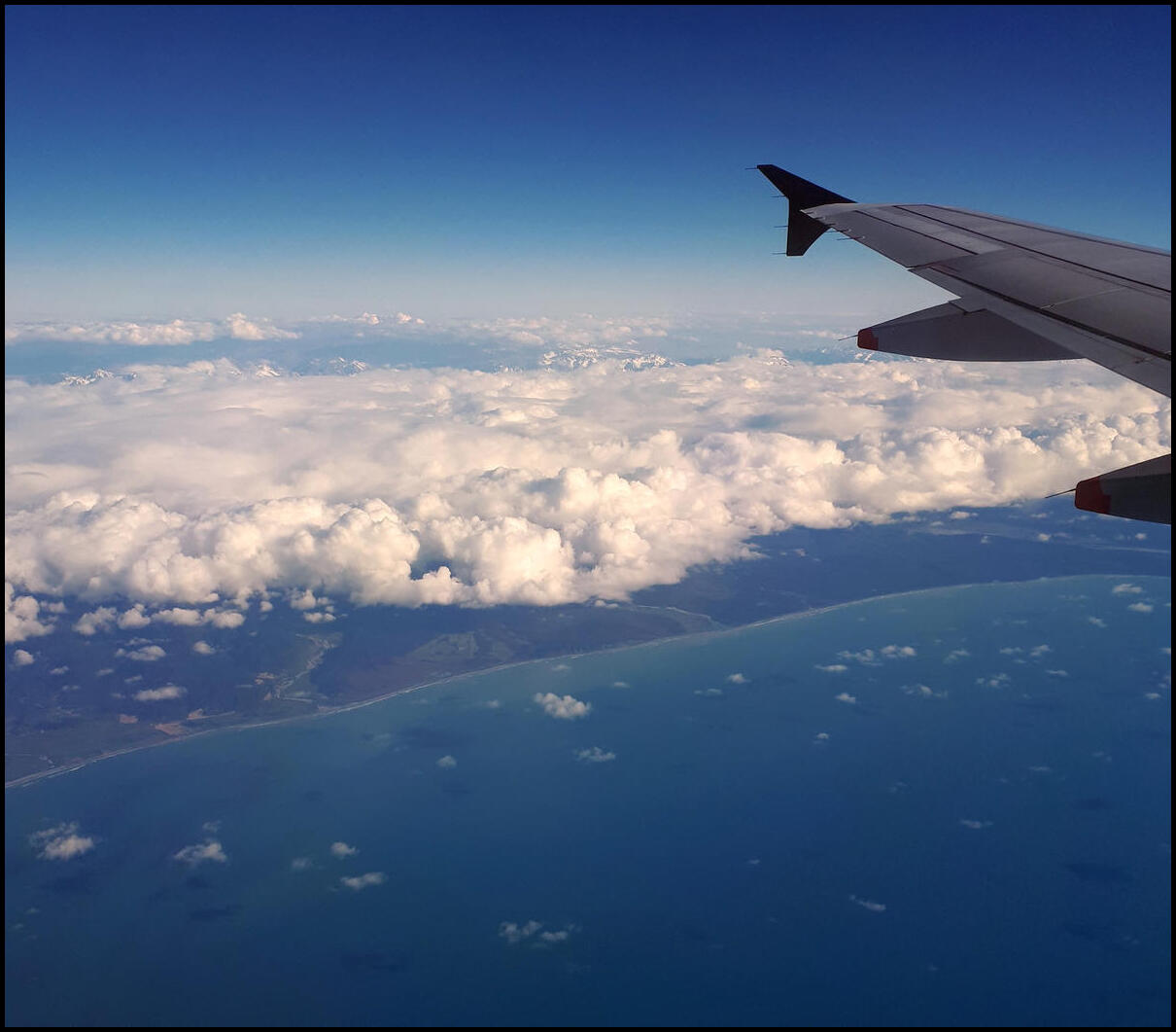
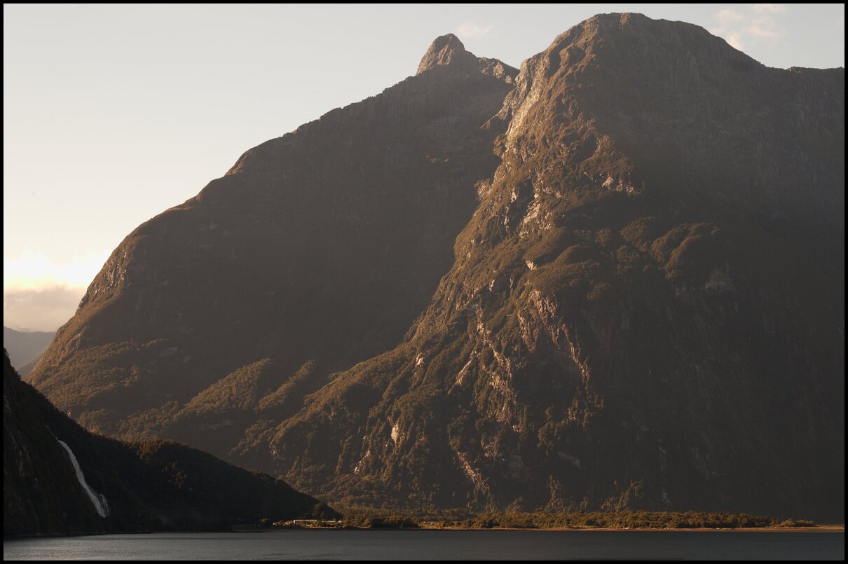
Final view of the west coast of New Zealand - presumably around Greymouth or a little south of there
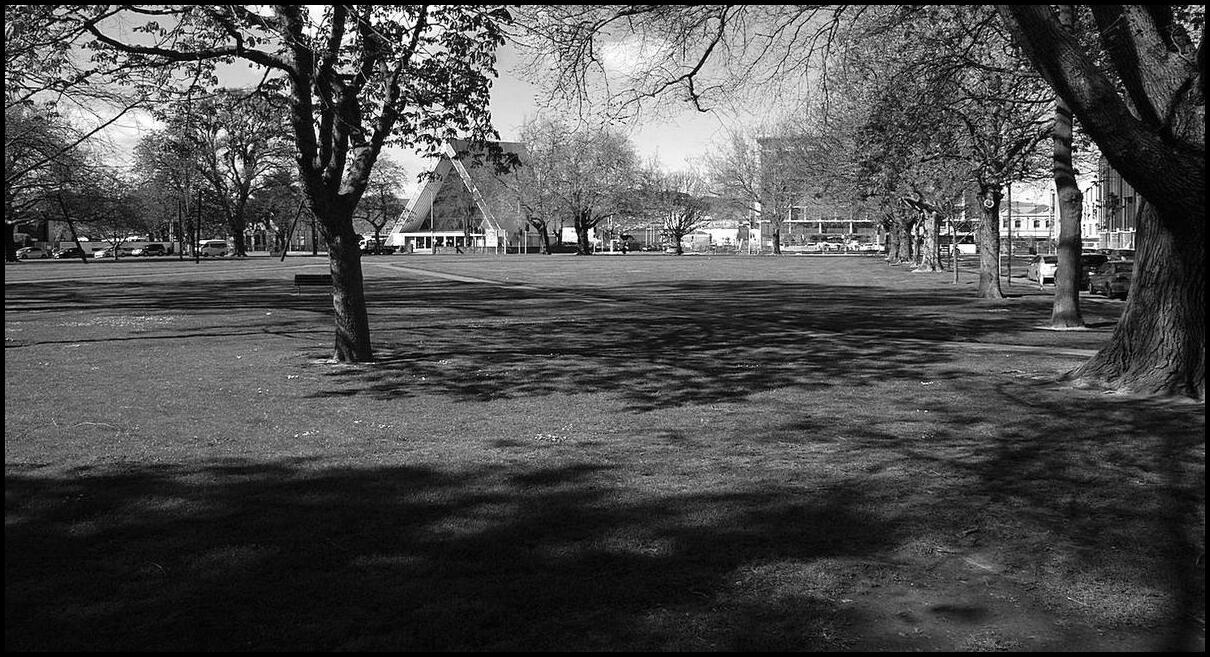
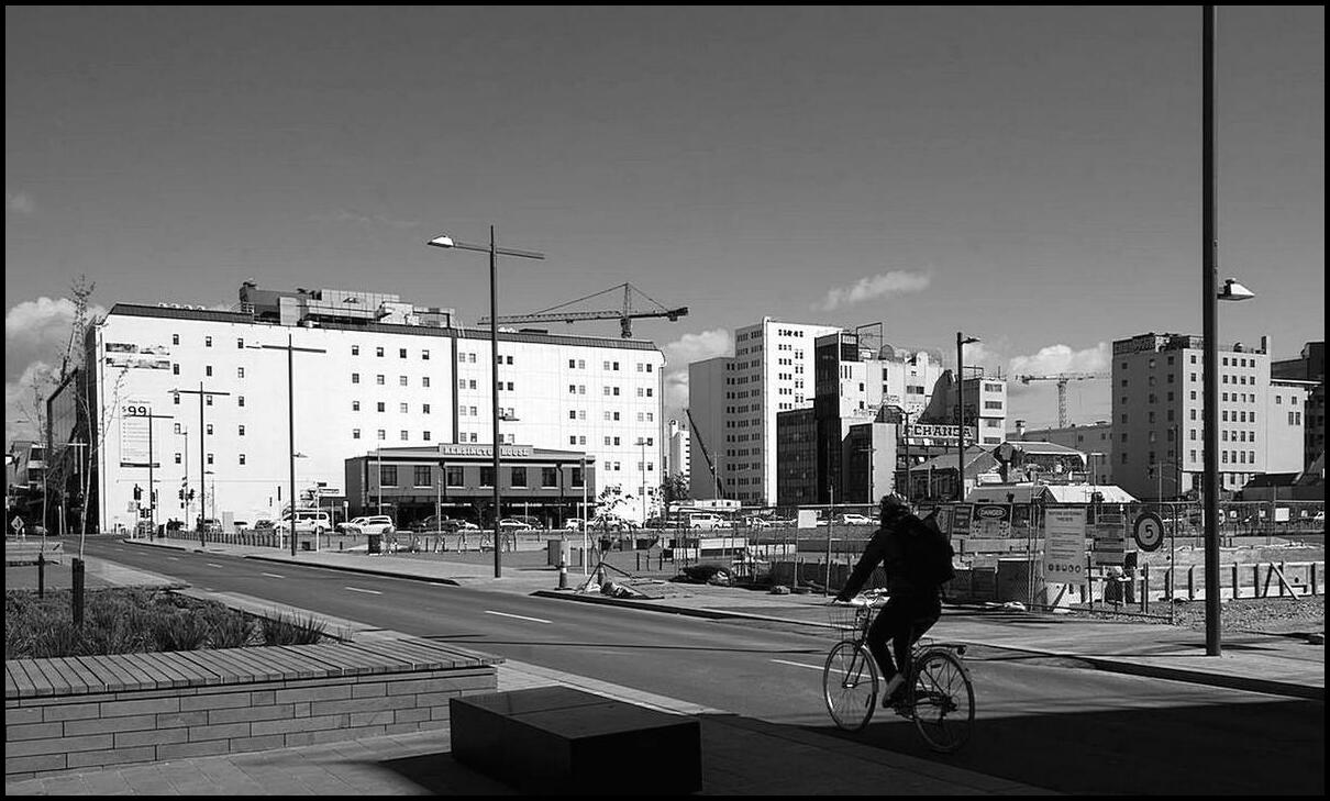
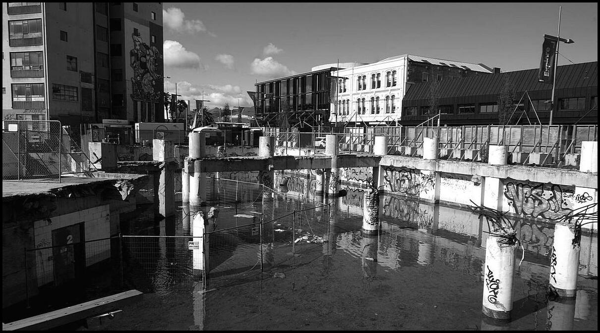
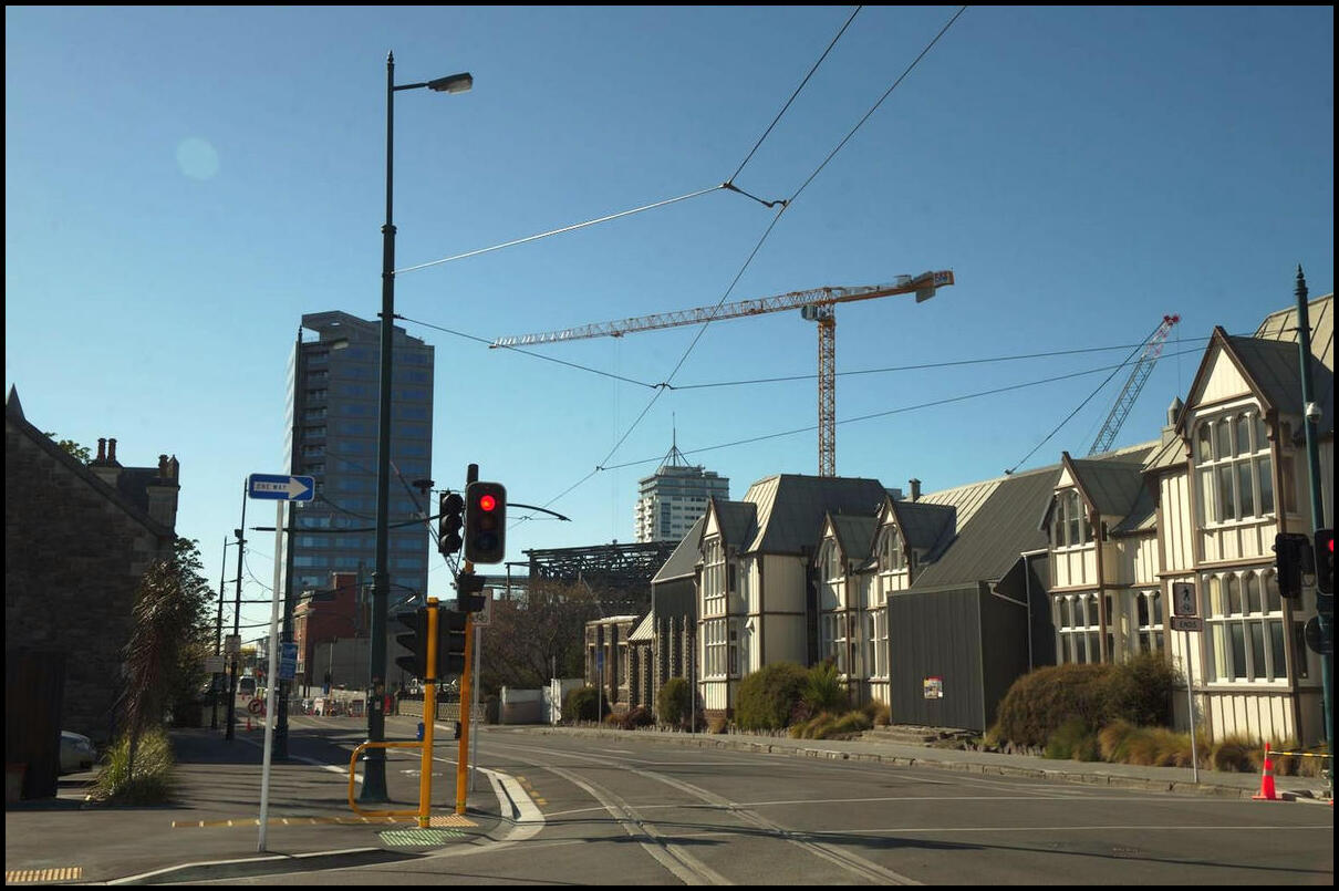
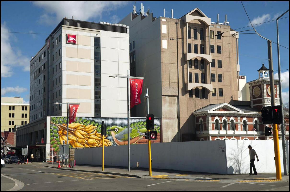
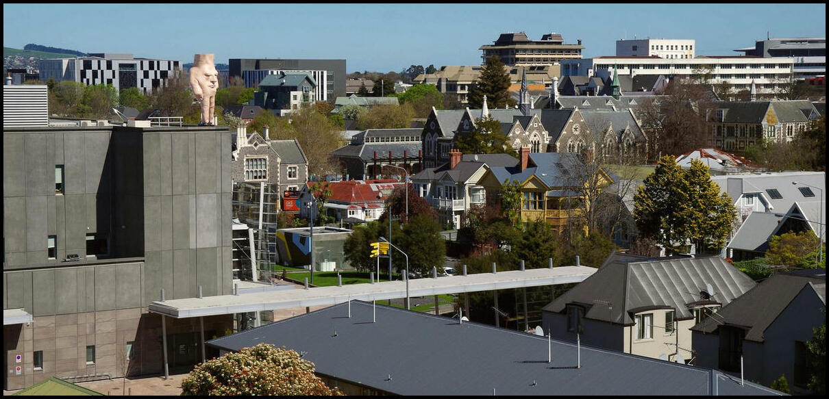
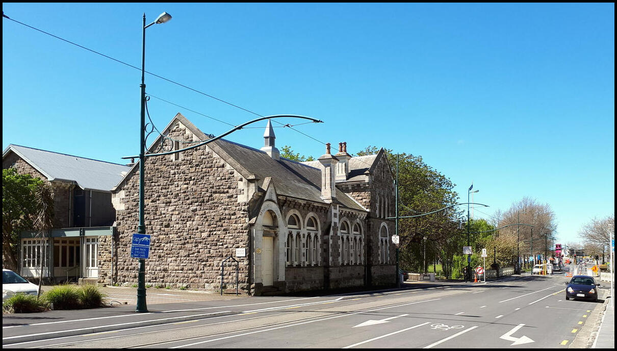
Our last full day in New Zealand was spent in Christchurch. It was fascinating to walk around and see how the city was recovering and rebuilding some seven years after the earthquakes.
We visited Quake City which is a contemporary museum about the earthquake. There is video from some survivors and their stories of loss or escape.
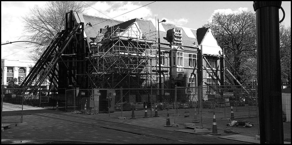
The buildings on the right form part of the Provincial Council Buildings which were damaged in 2011. Apparently these buildings aren't slated for repair or restoration until 2028 because of a shortage of both funds and tradesmen
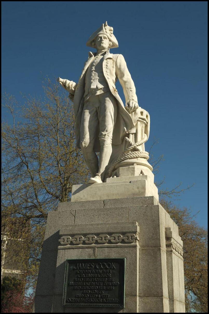
Just 'aving a Captain Cook, Guv'
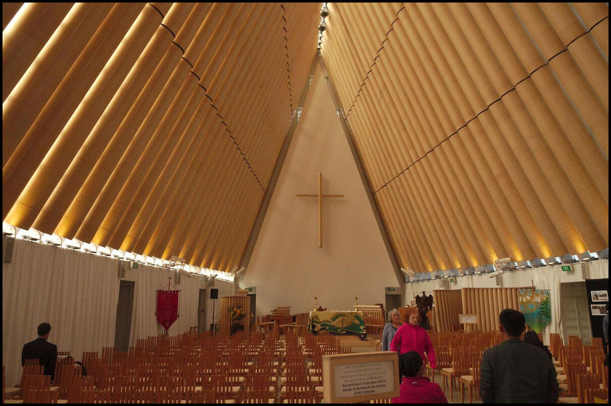
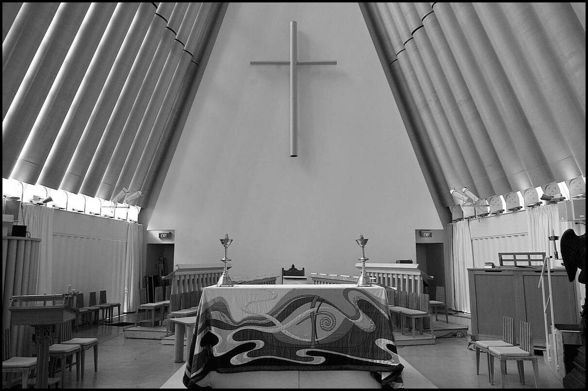
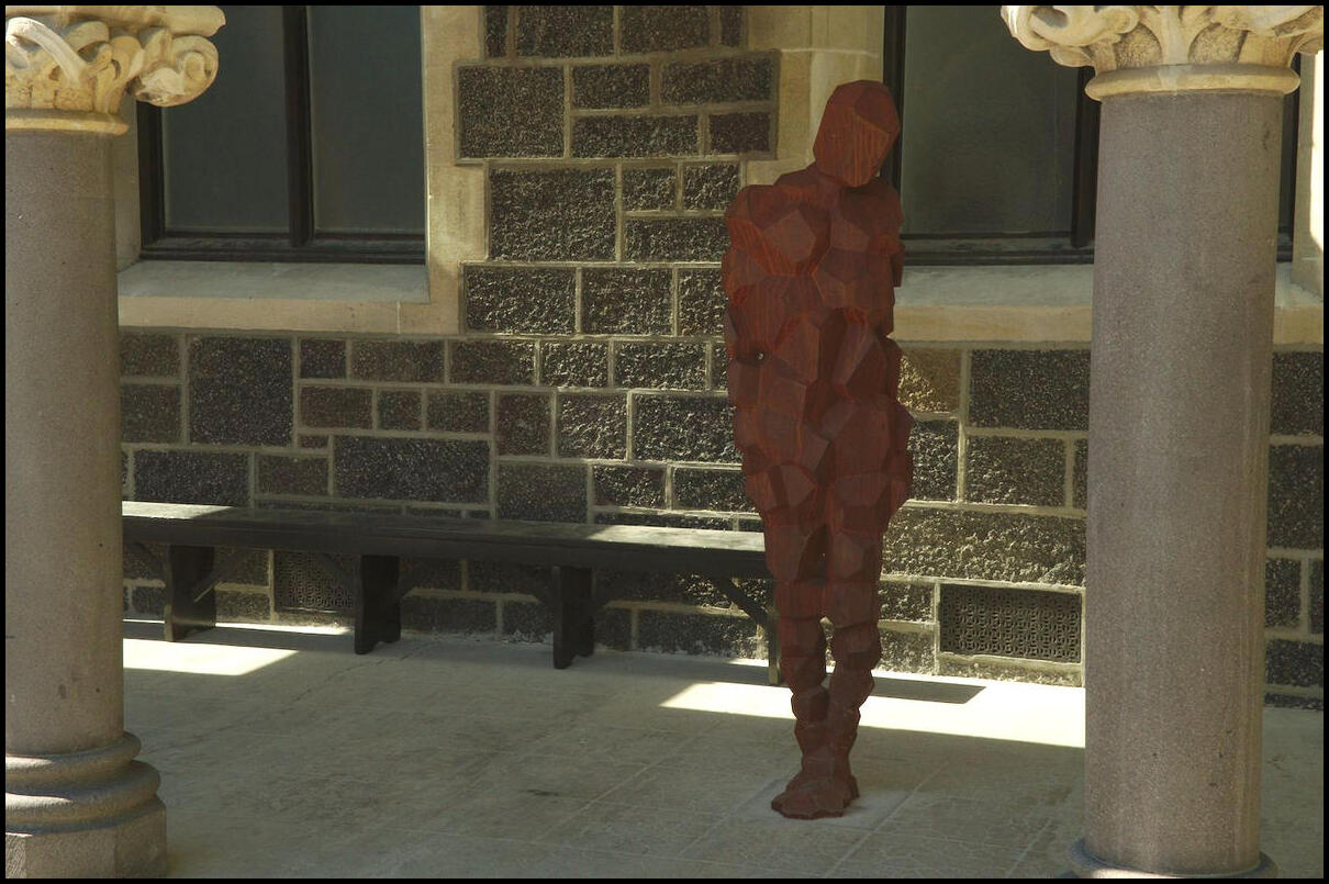
Inside the Transitional Cathedral
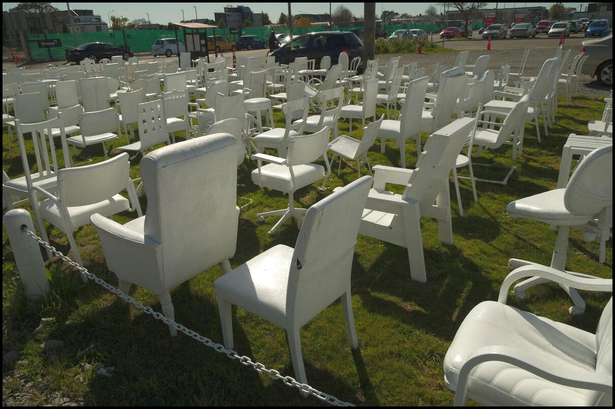
Some of the 185 chairs in a vacant lot that serve as a memorial of those who lost their lives in the earthquake
The Anglican Cathedral
There are two of these installations in Christchurch. The other stands in the Avon River
Art installation adorning the Art Gallery
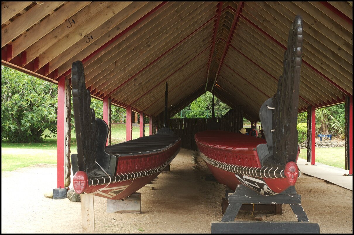
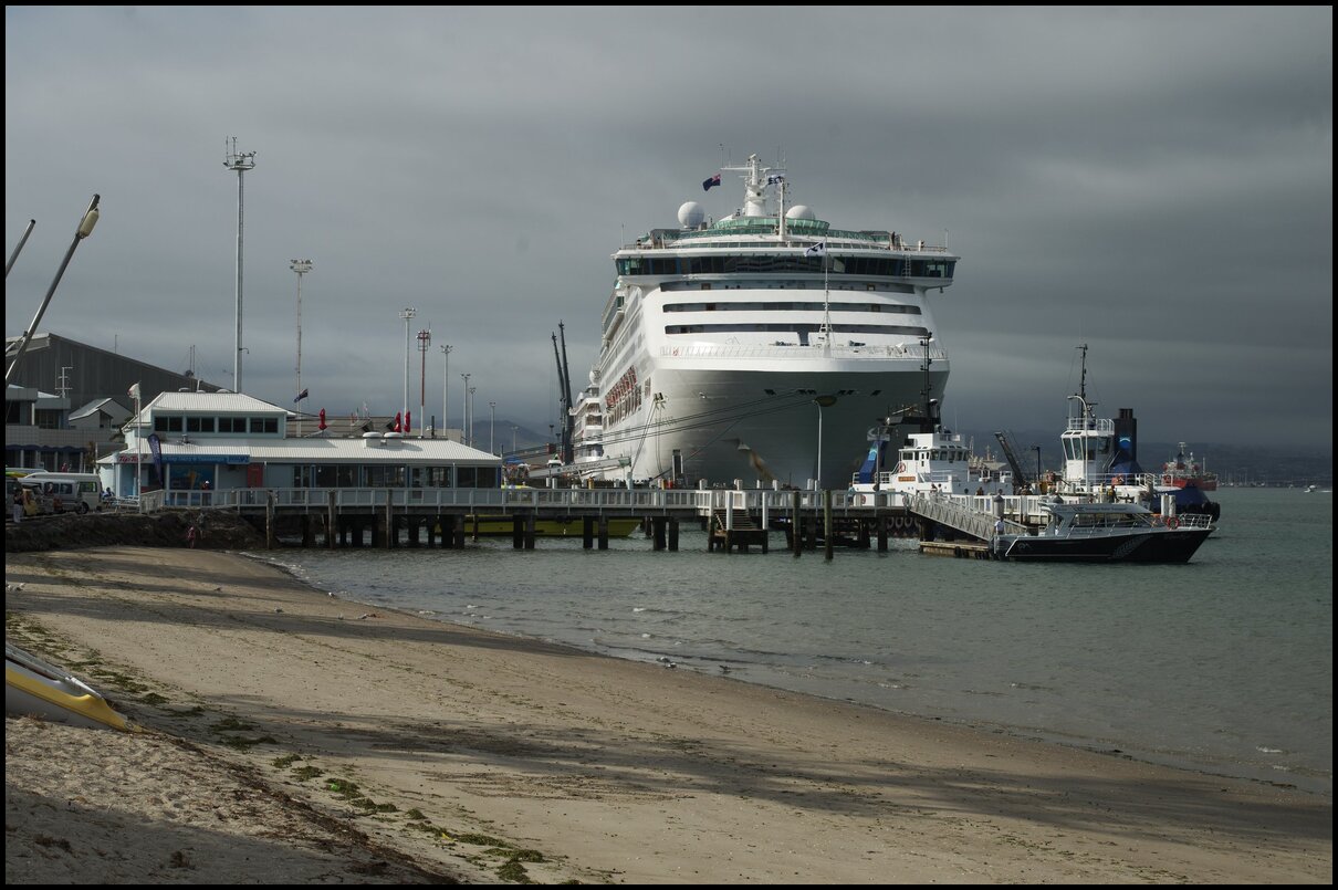
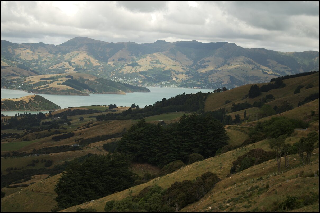
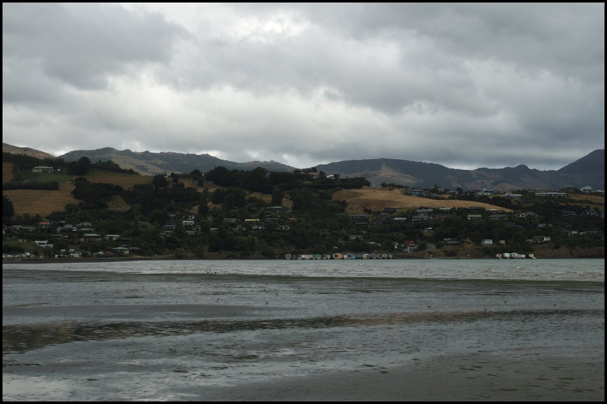
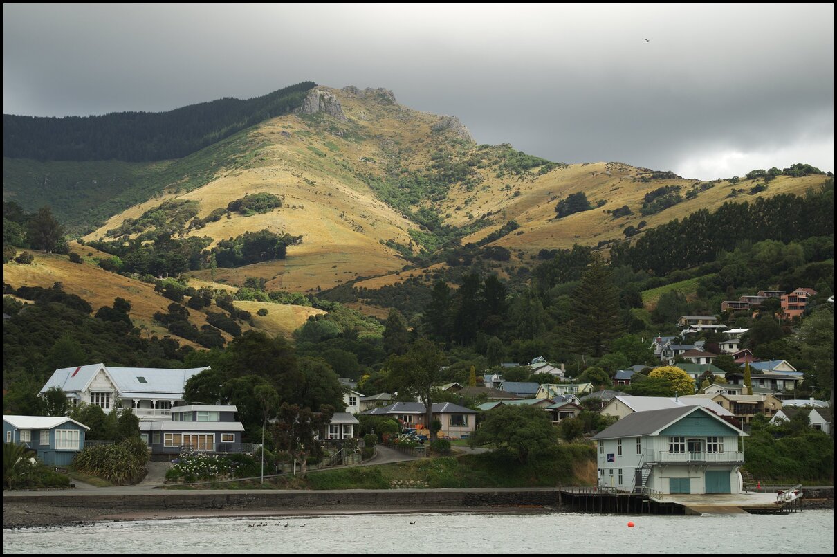
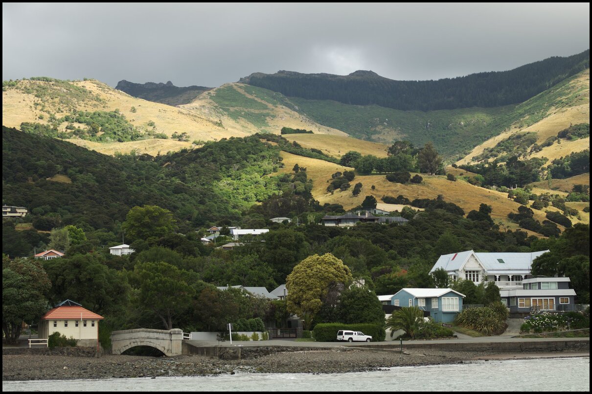
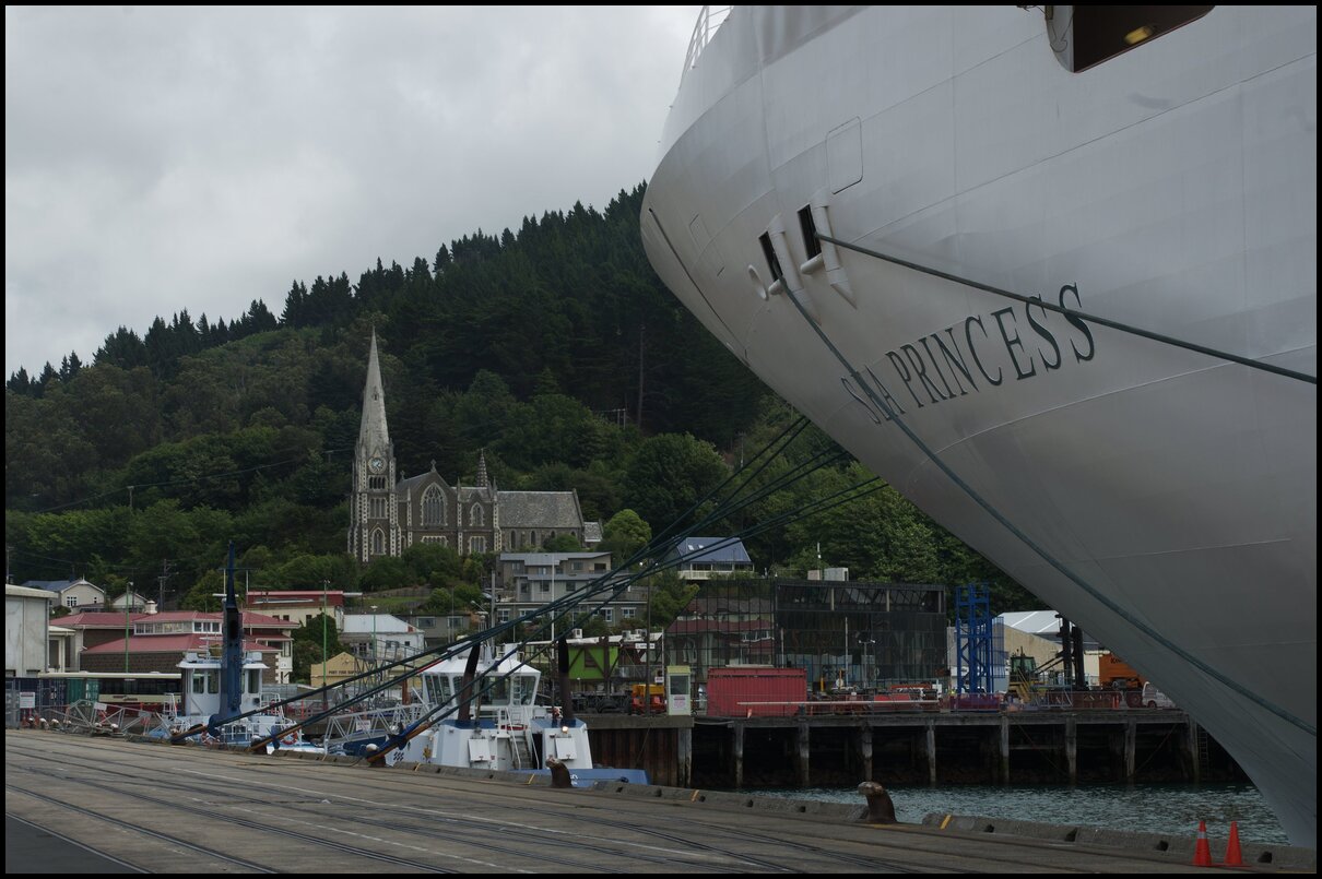
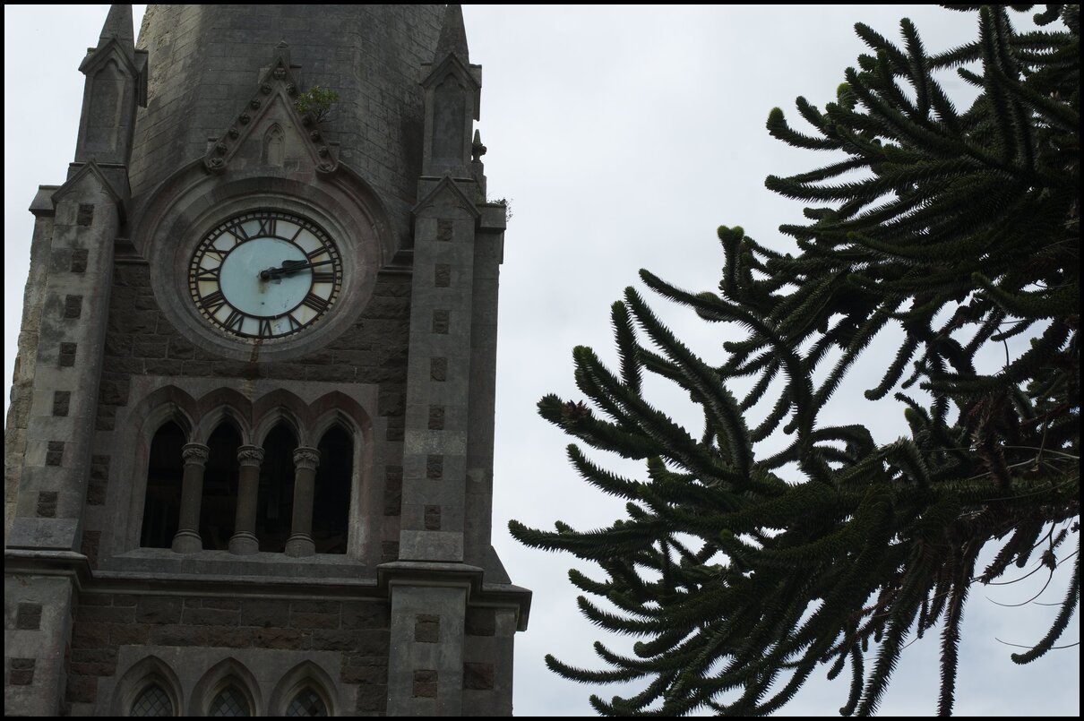
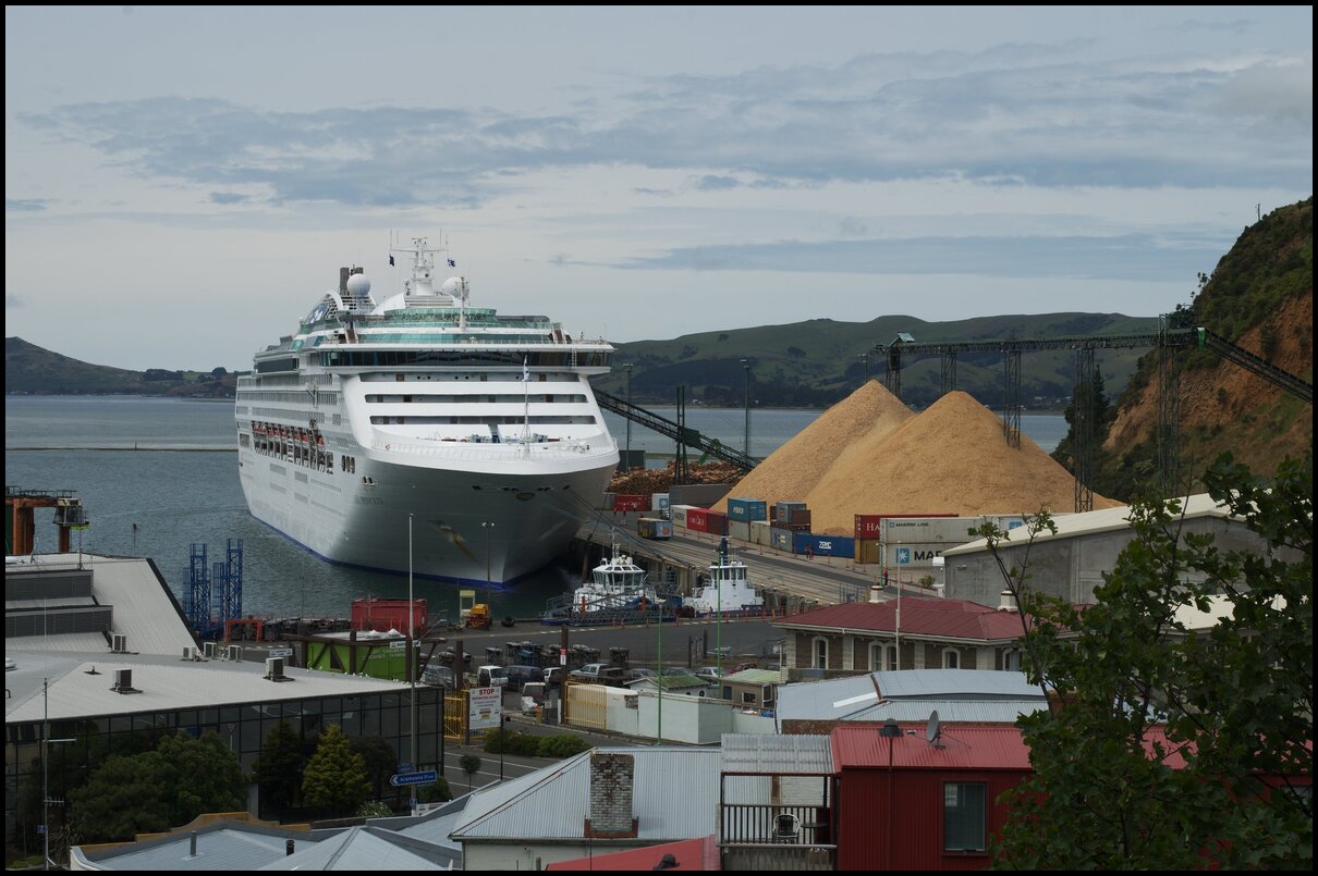
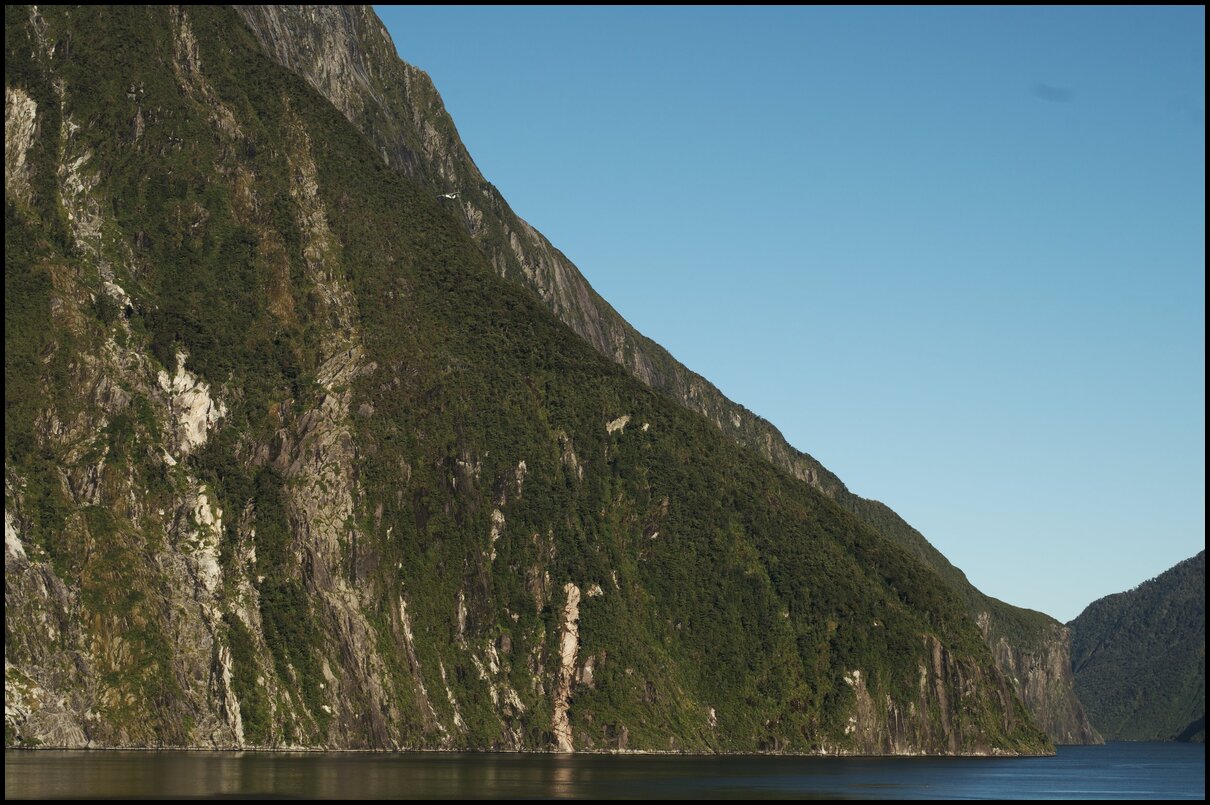
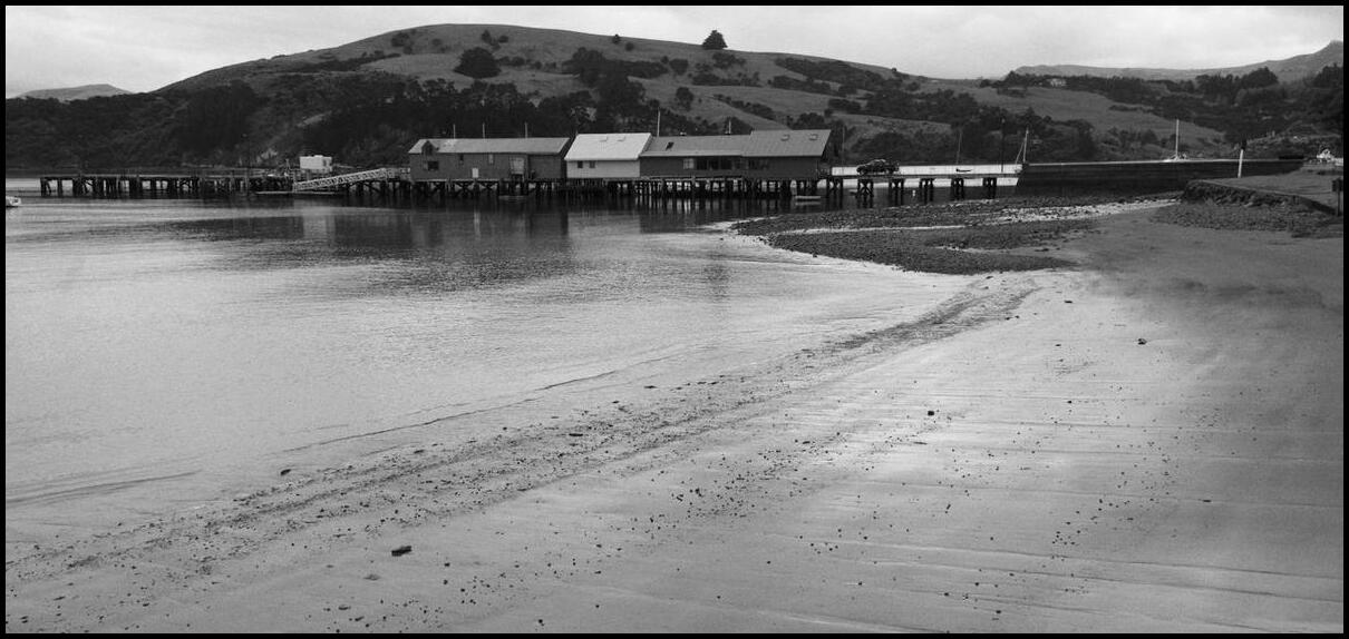
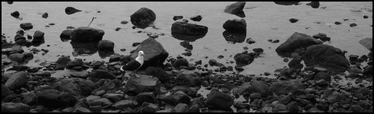
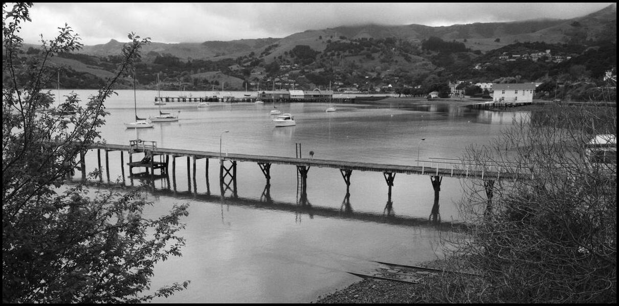
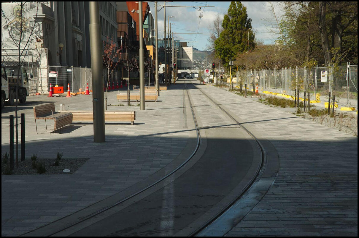
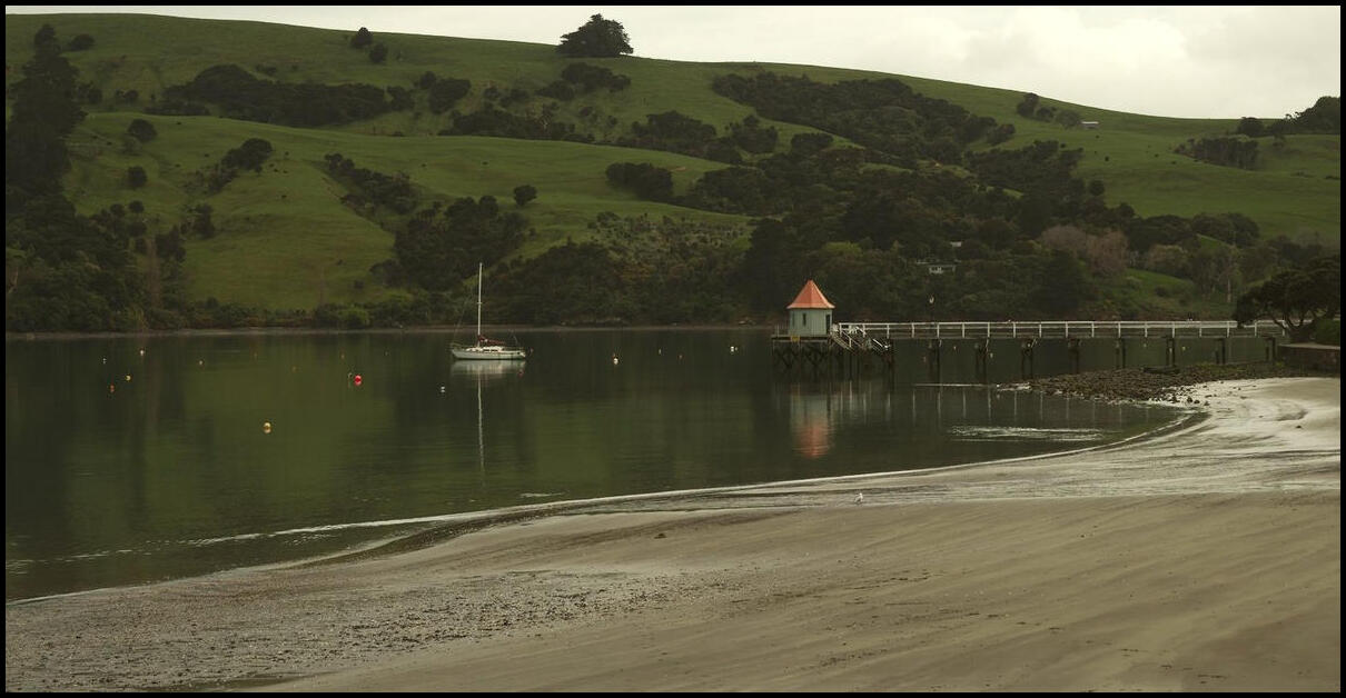
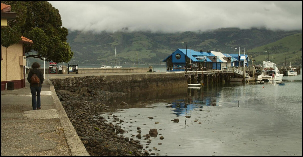
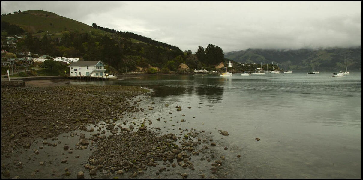
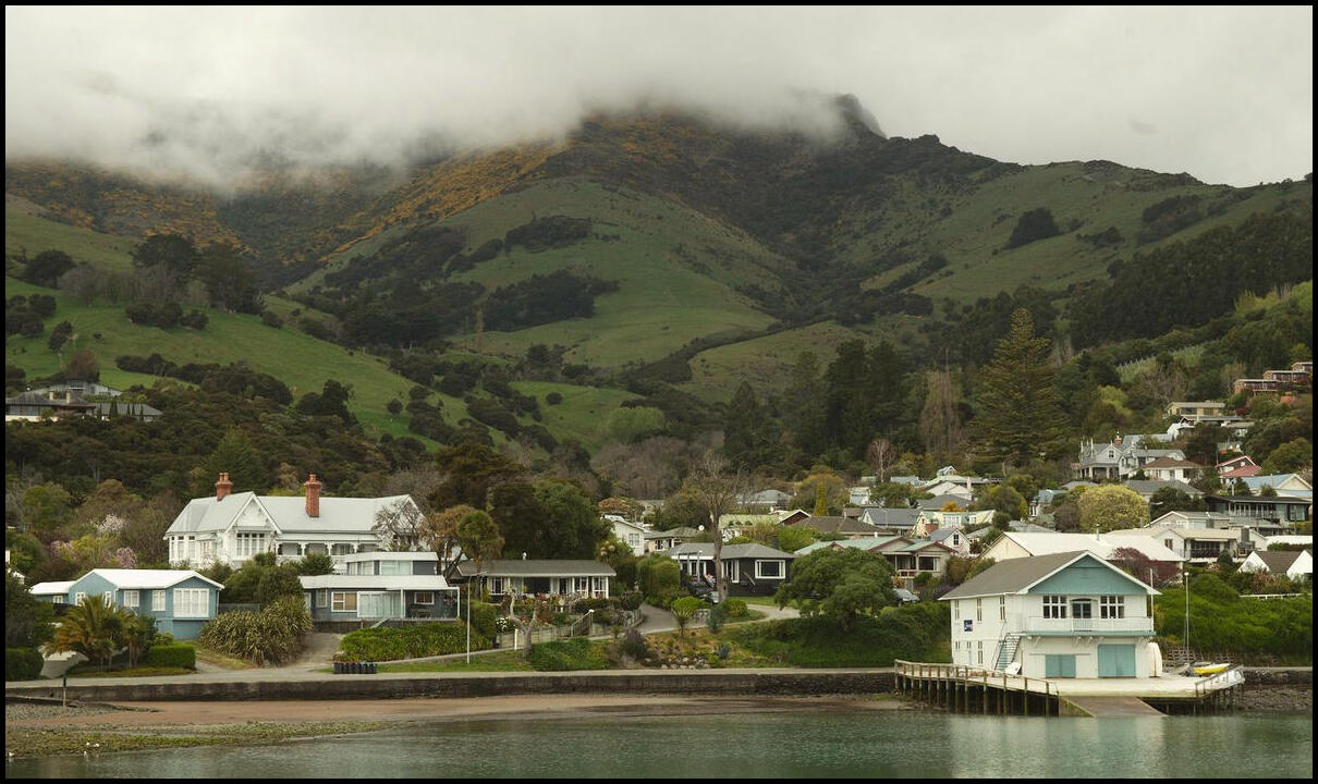
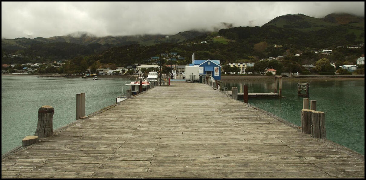
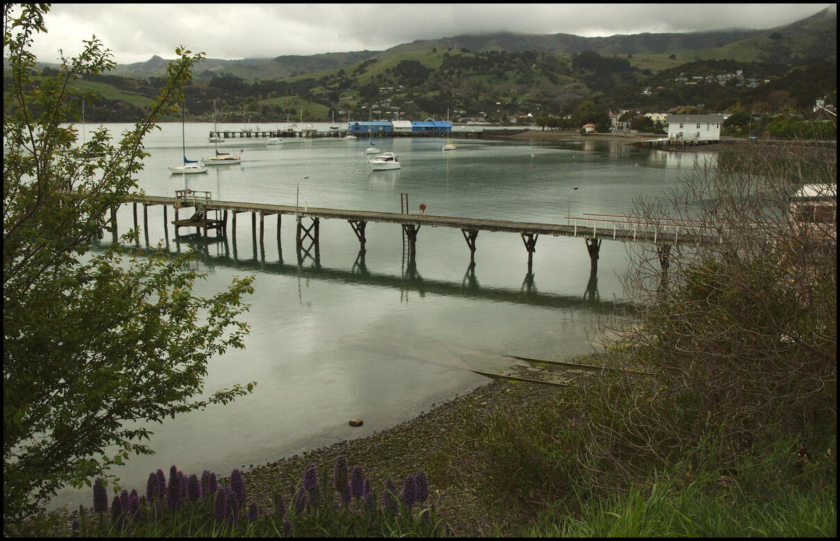
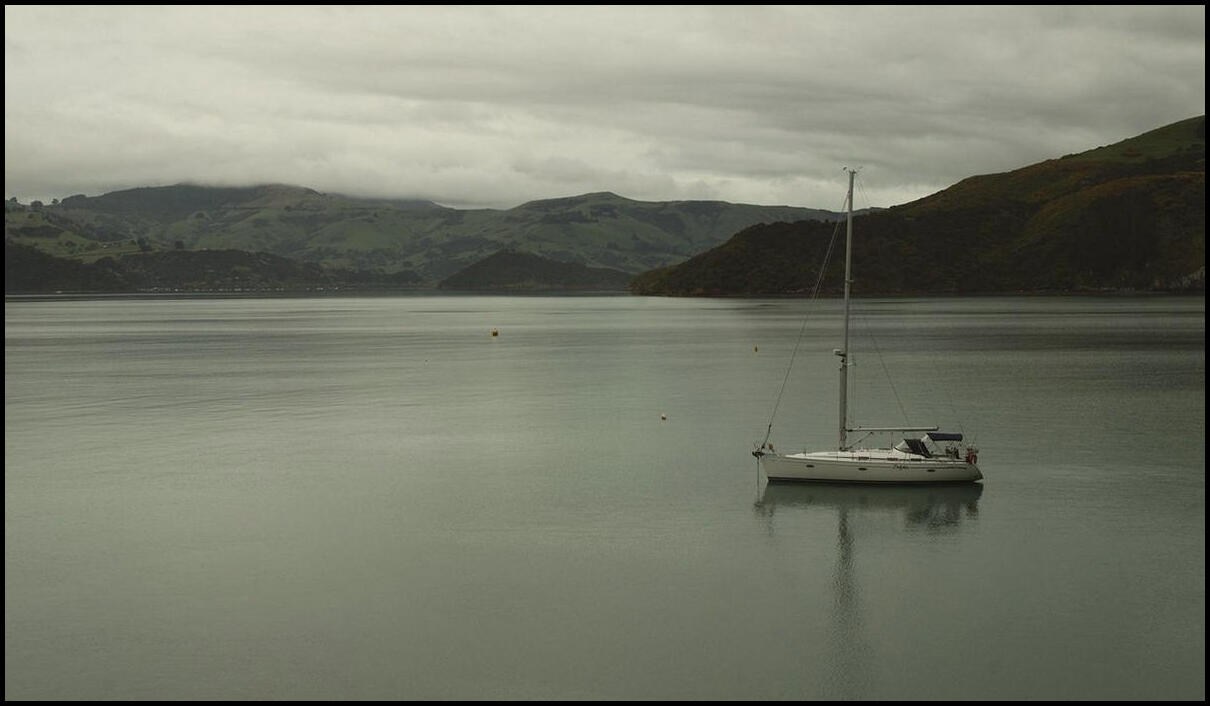
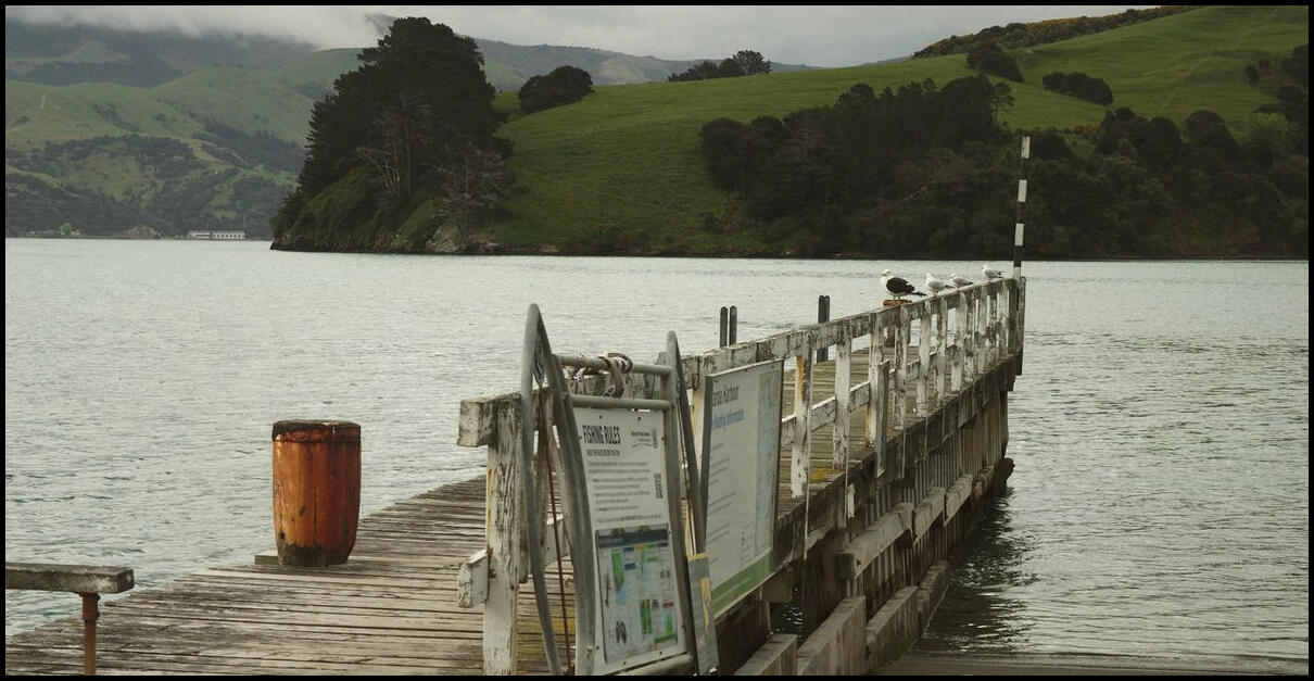
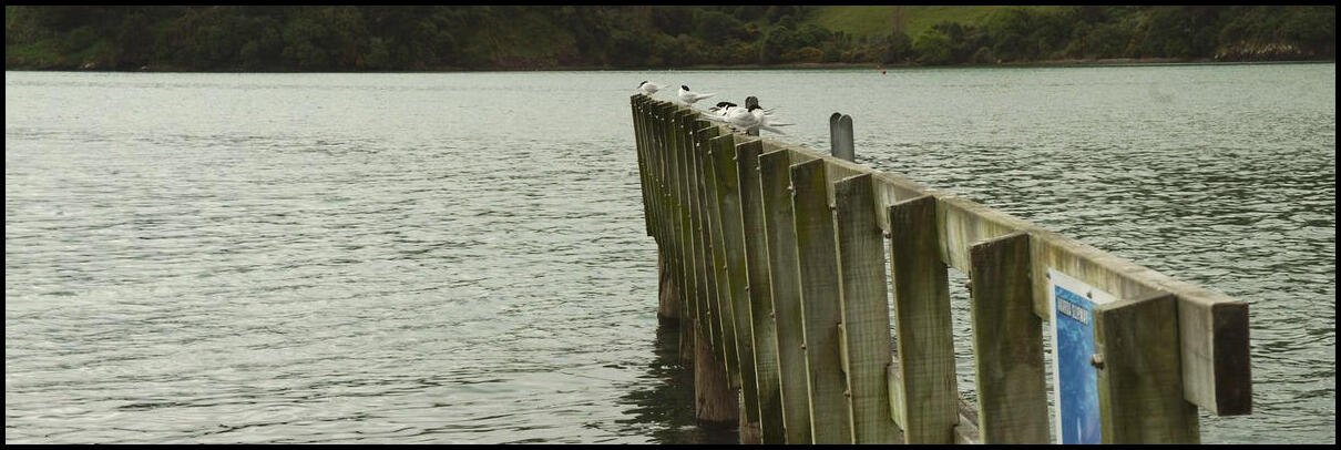
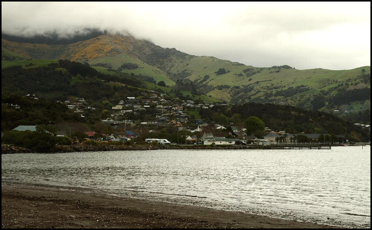
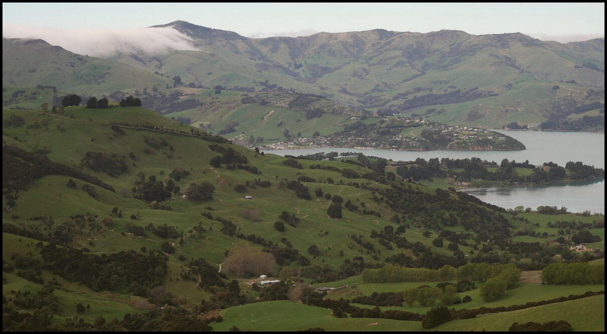
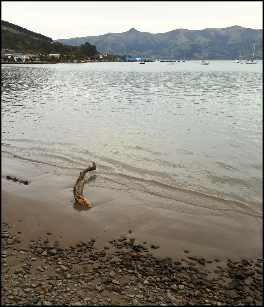
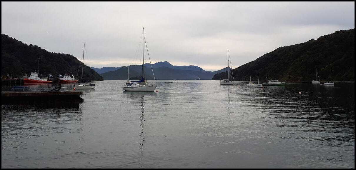
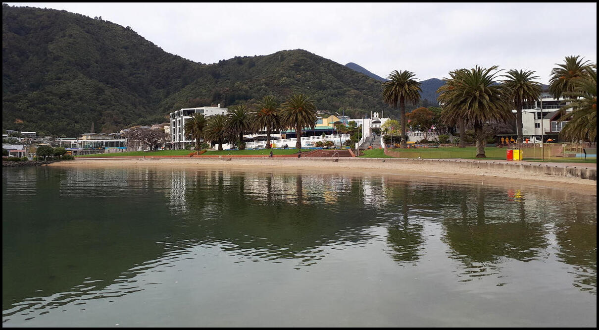
For day 15 we were staying in Christchurch but went for a drive to Lyttelton - a port town about 10km south-east of Christchurch. Lyttelton is a busy, active port but also had a selection of boutique and specialty shops that gave the town a really nice feel. We only spent a couple of hours here but could have stayed longer.
Lyttelton is the port town that cruise ships used to dock in on stopovers for Christchurch, but that has ceased since the 2011 earthquake. I think cruise ships are expected to dock from next year.
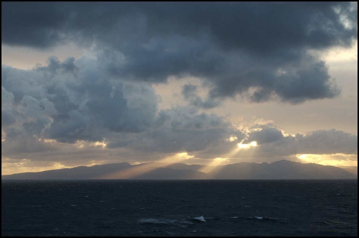
We left a very grey and rainy Akaroa for the 100+km trip to what would work out as a very sunny but cool Christchurch.
Sun making a valiant effort to shine through near Lake Ellesmere
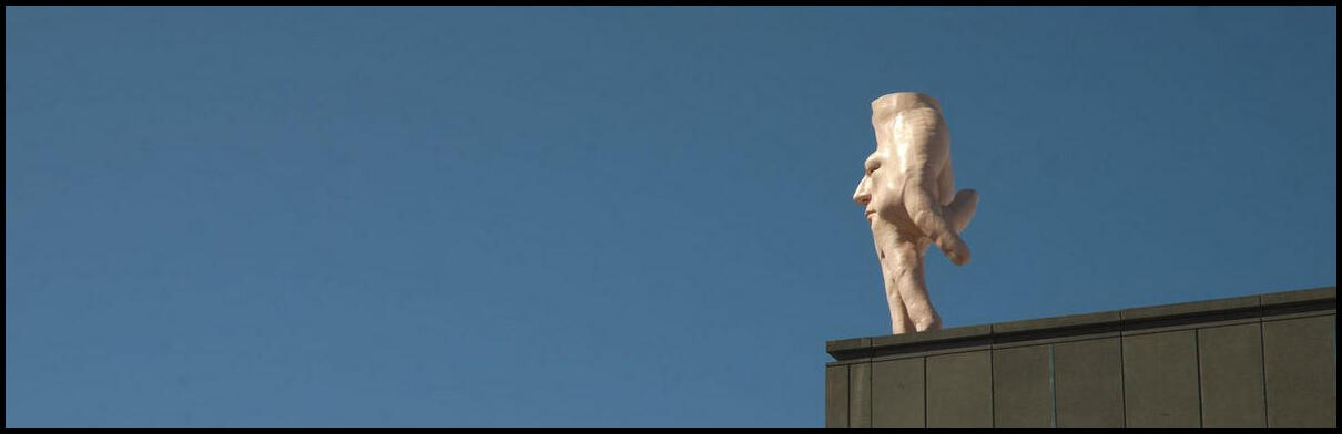
Part of the view from our apartment. The interesting hand/face thing is part of the Art Gallery
That's got to hurt!
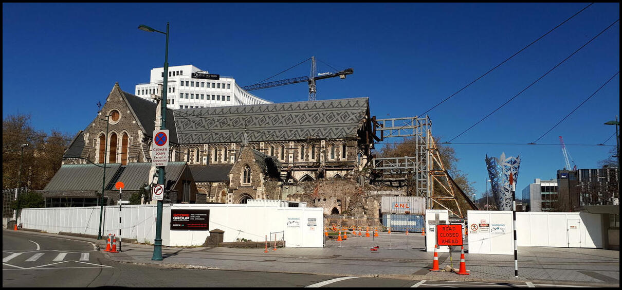
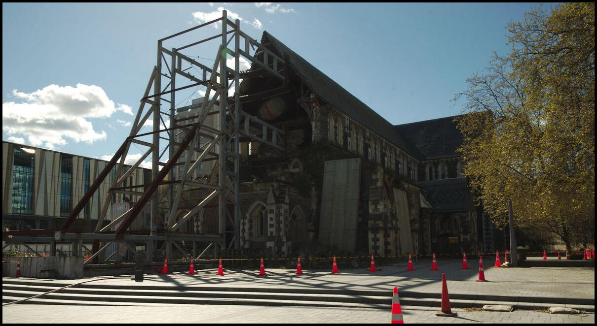
One view of the Anglican Cathedral damaged in the 2011 earthquake
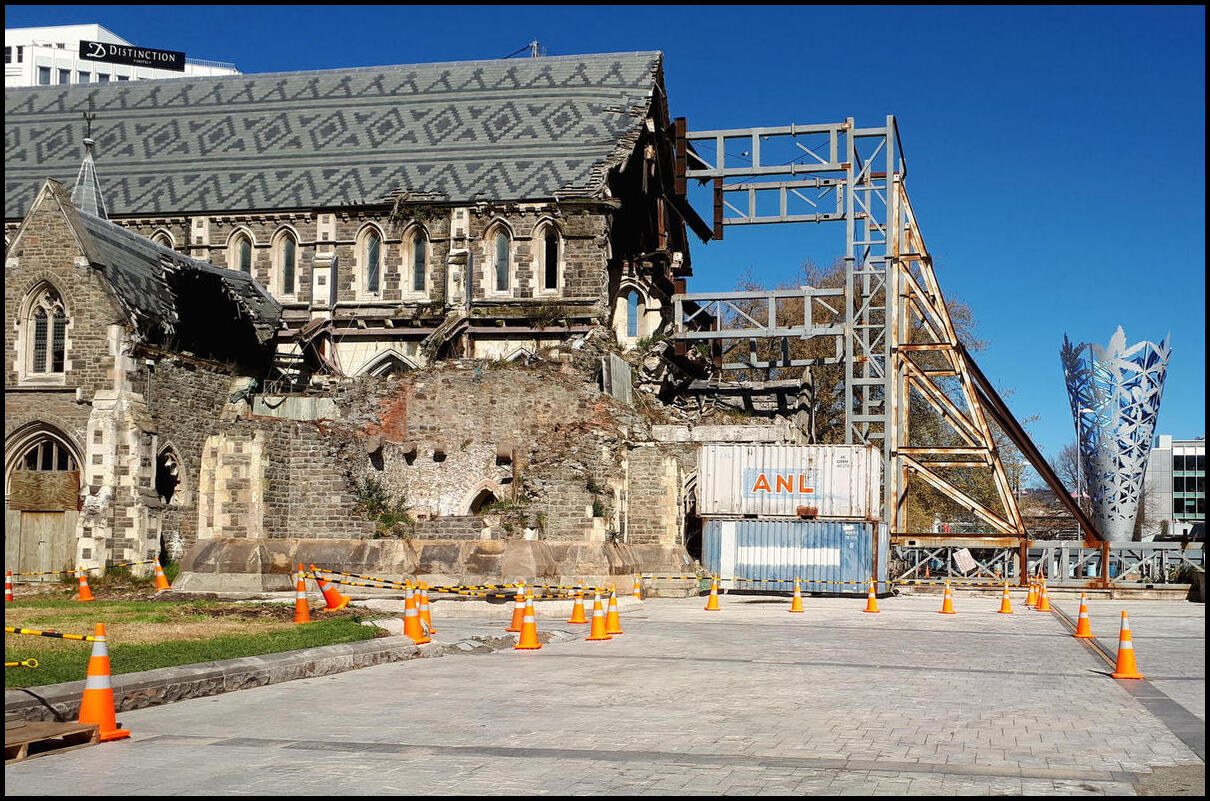
And a closer view
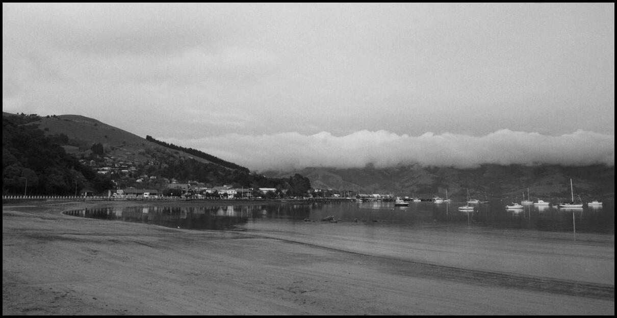
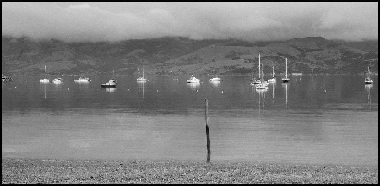
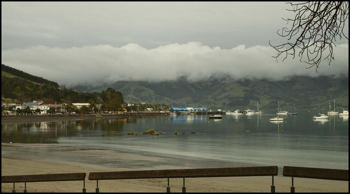
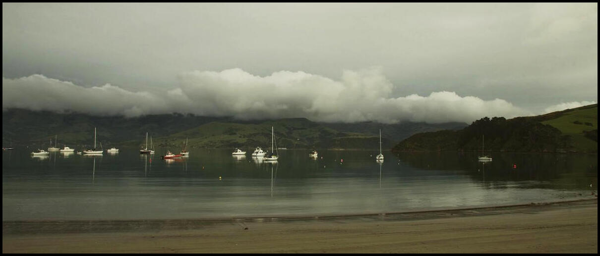
Akaroa, with limited comment
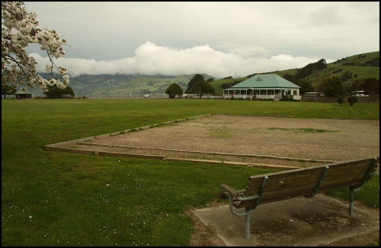
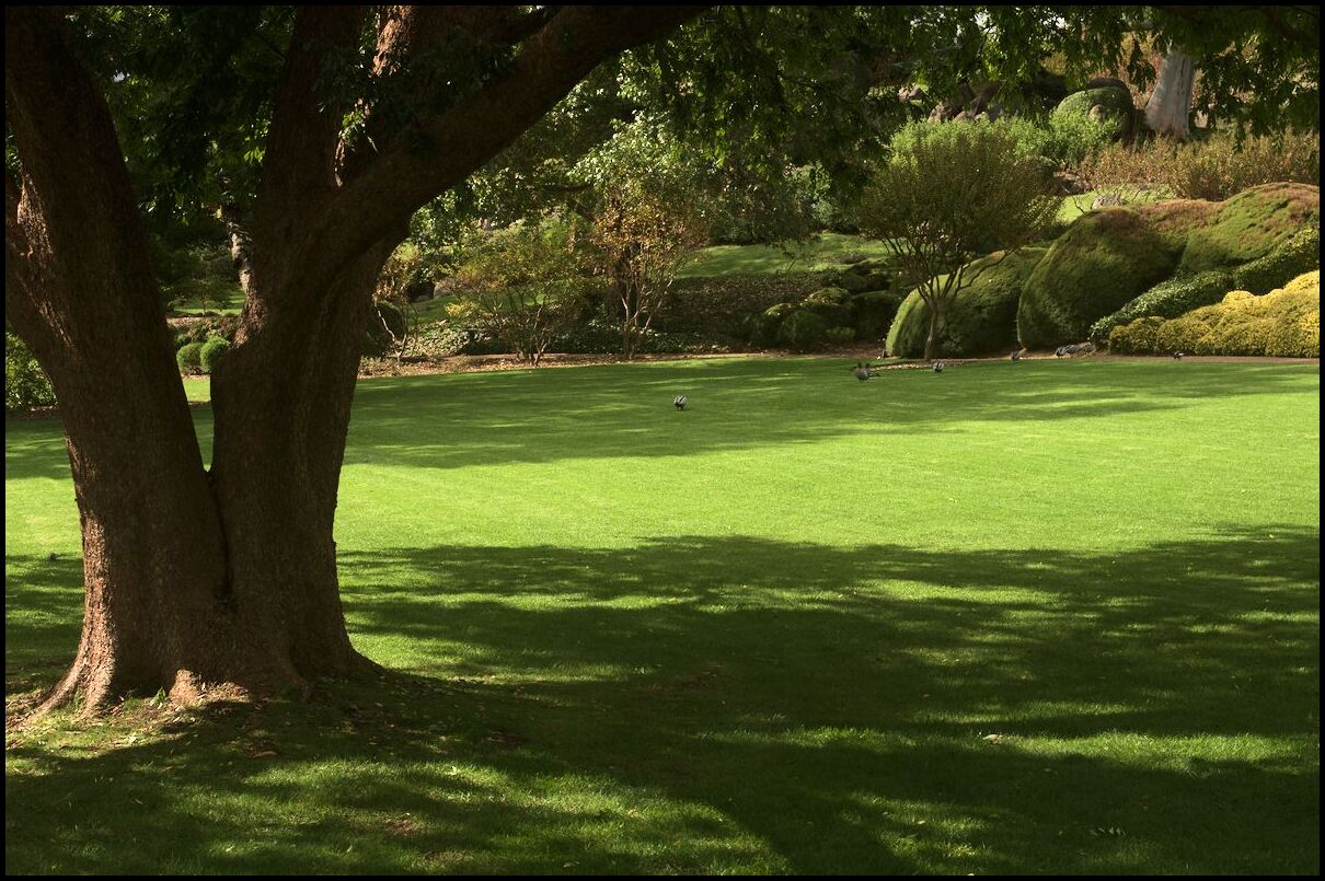
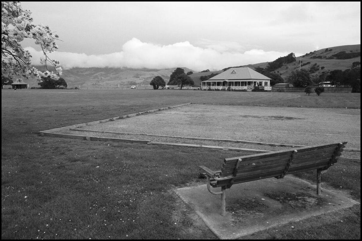
What town is complete without a slightly unkemp pétanque/bocce terrain?
Cloud coming over the mountains
Still coming

French influence

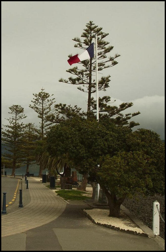
More French
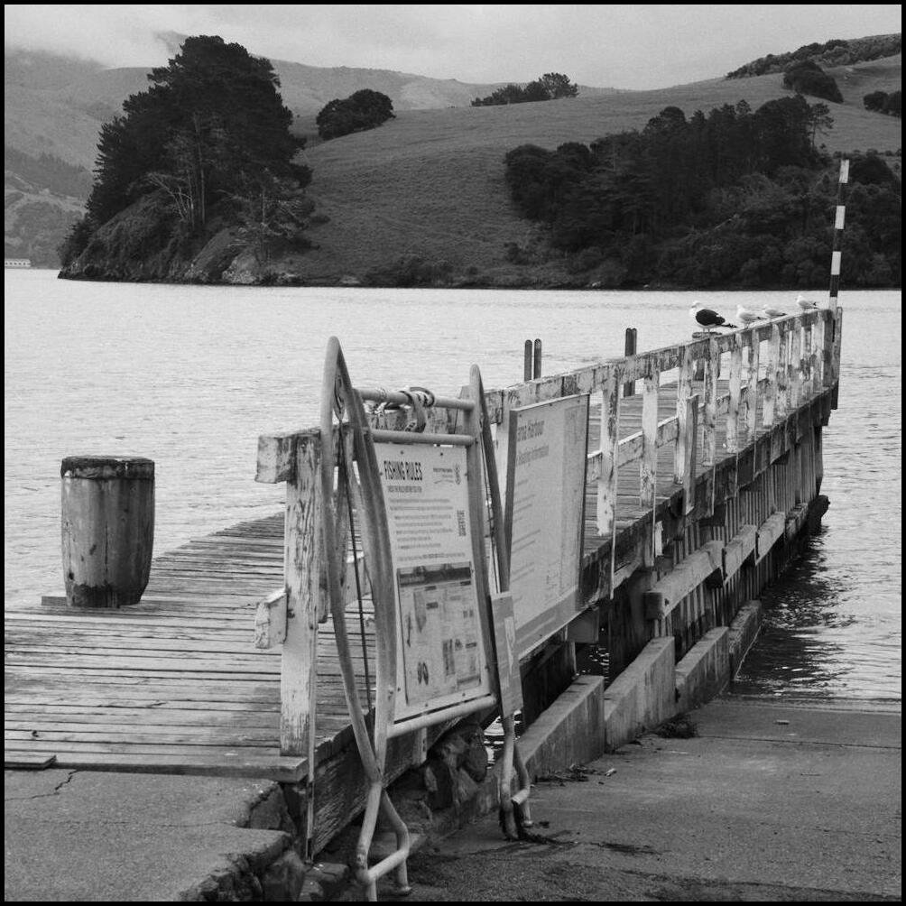
Looking back down the main pier

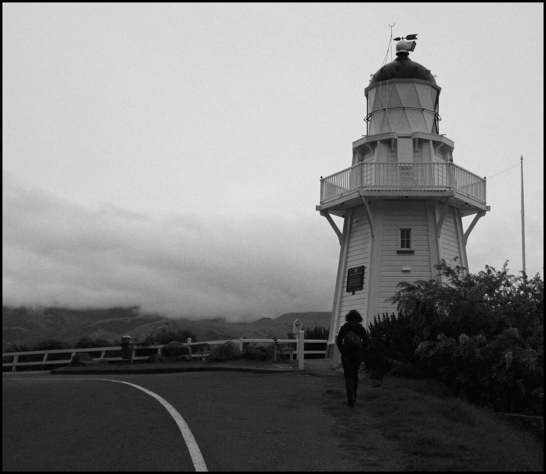
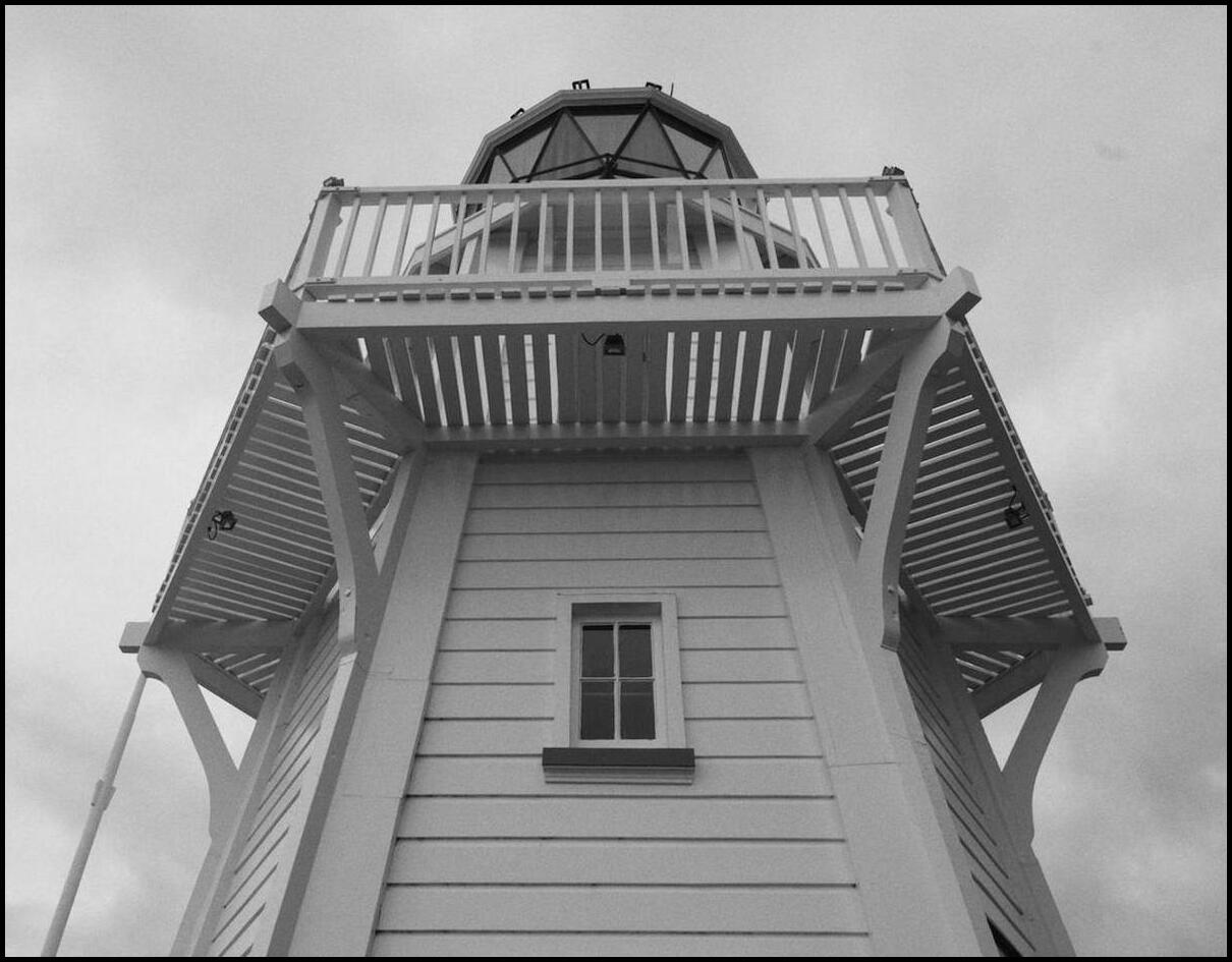
Apparently the lighthouse was relocated to its present position - here for show rather than safety

Surely one of the creepiest children's toys?

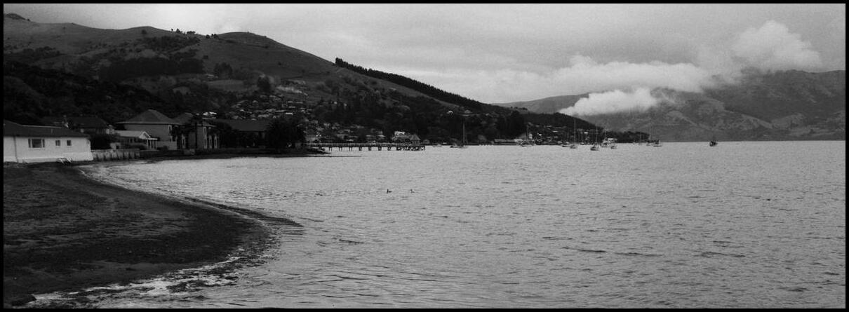
Akaroa from Childrens Bay
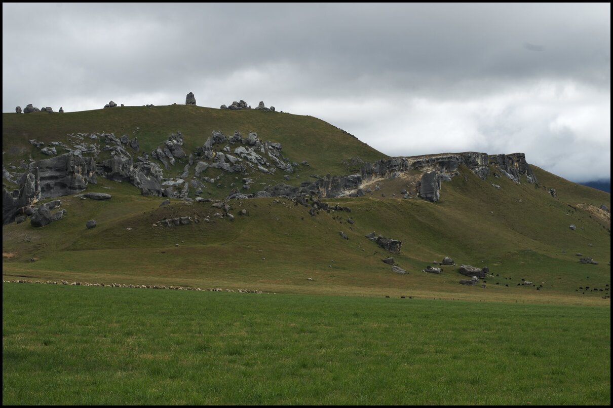
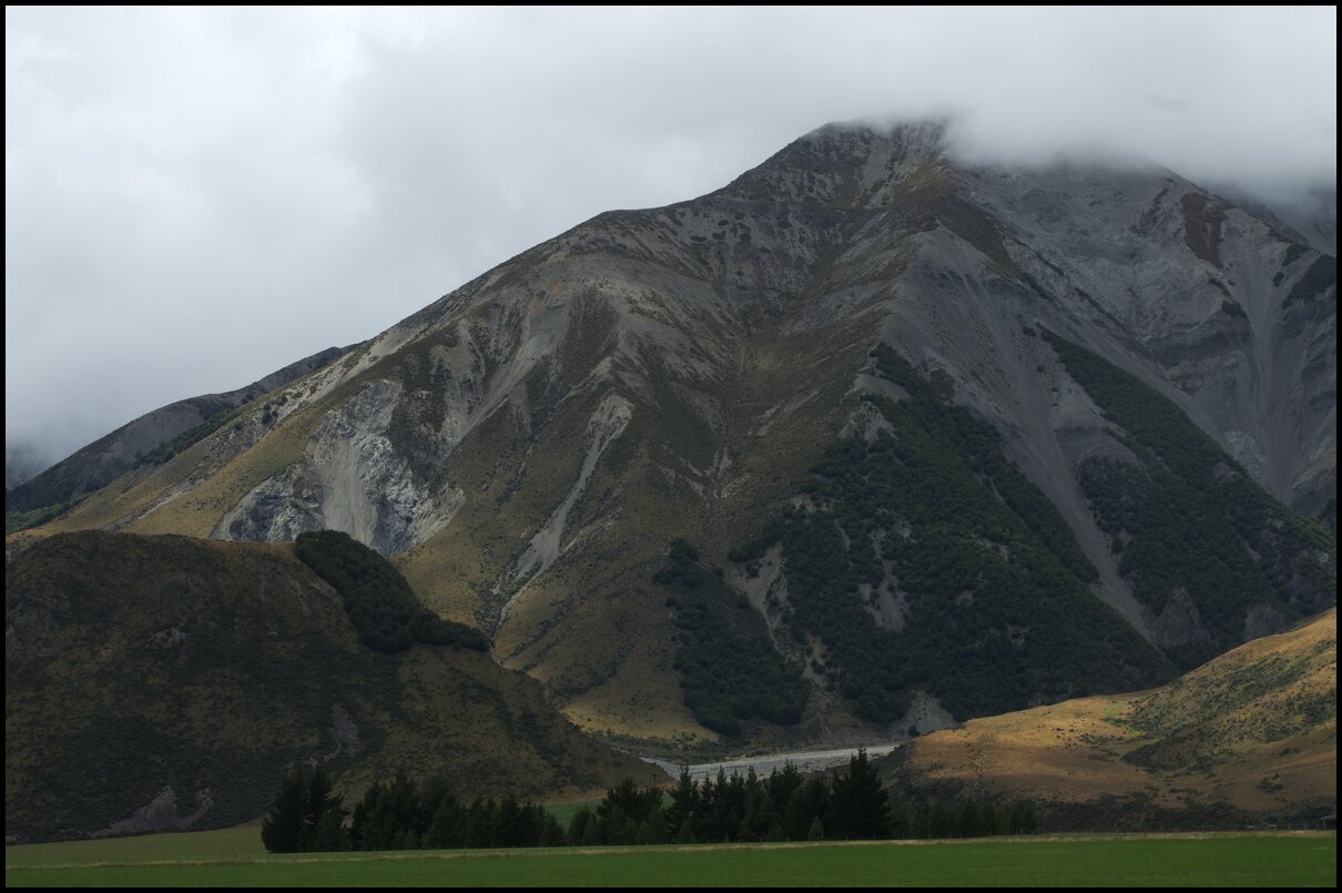
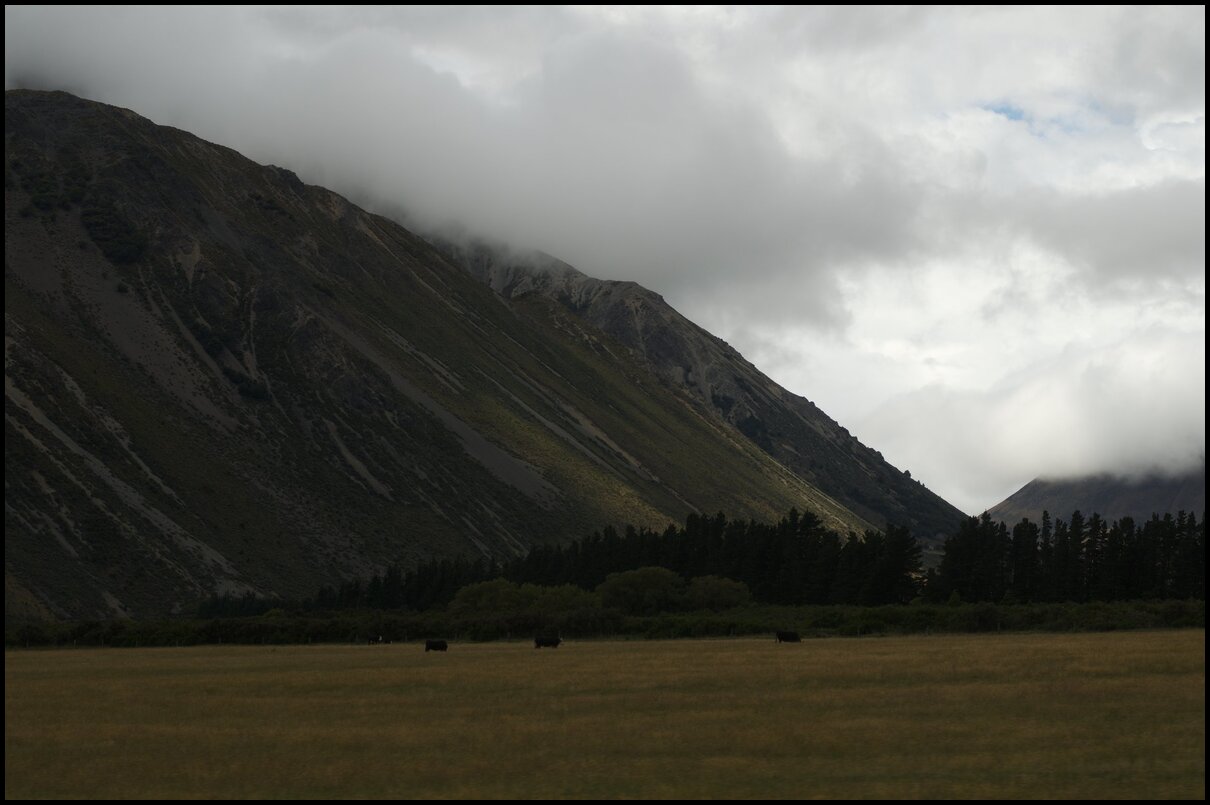
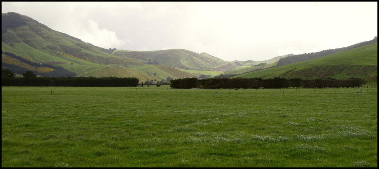
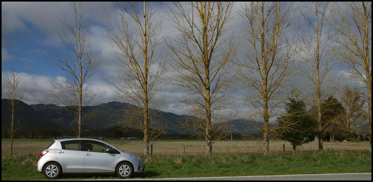
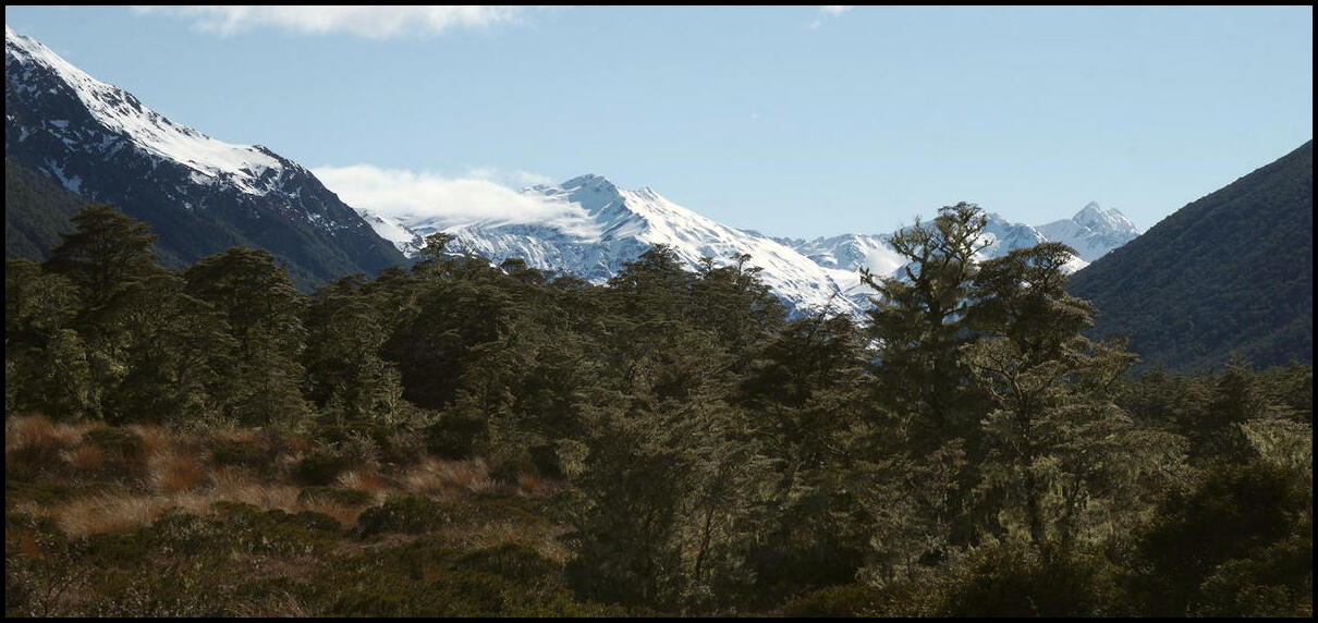
Day 12 - the three quarter mark through our holiday was the longest drive of our trip - from Murchison to Akaroa. We started in the mountains, with deep gorges, plantation pine forests and snowy peaks followed by a lunch stop in Culverden then through the outskirts of Christchurch and finally winding down to the east coast at Akaroa.

In the Hurunui Region at St James Walkway


The Waiau River approaching Culverden
Culverden Coffee
Akaroa
Day 11 was a relaxing one - spent in the town of Murchison in the central north region of the South Island. These days Murchison is something of a hub for white-water enthusiasts - being at the junction of a couple of rivers. In 1929 it was the scene of an earthquake that took 17 lives. Near the centre of town is a memorial comprised of some stones. Part of the plaque reads:
We awoke to a fairly grey and overcast day in Picton and headed south-east through Blenheim and St Arnaud to Murchison. A peaceful trip, not much traffic, and a great lunch at the Alpine Lodge in St Arnaud.
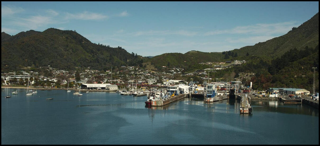
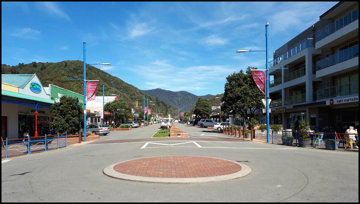
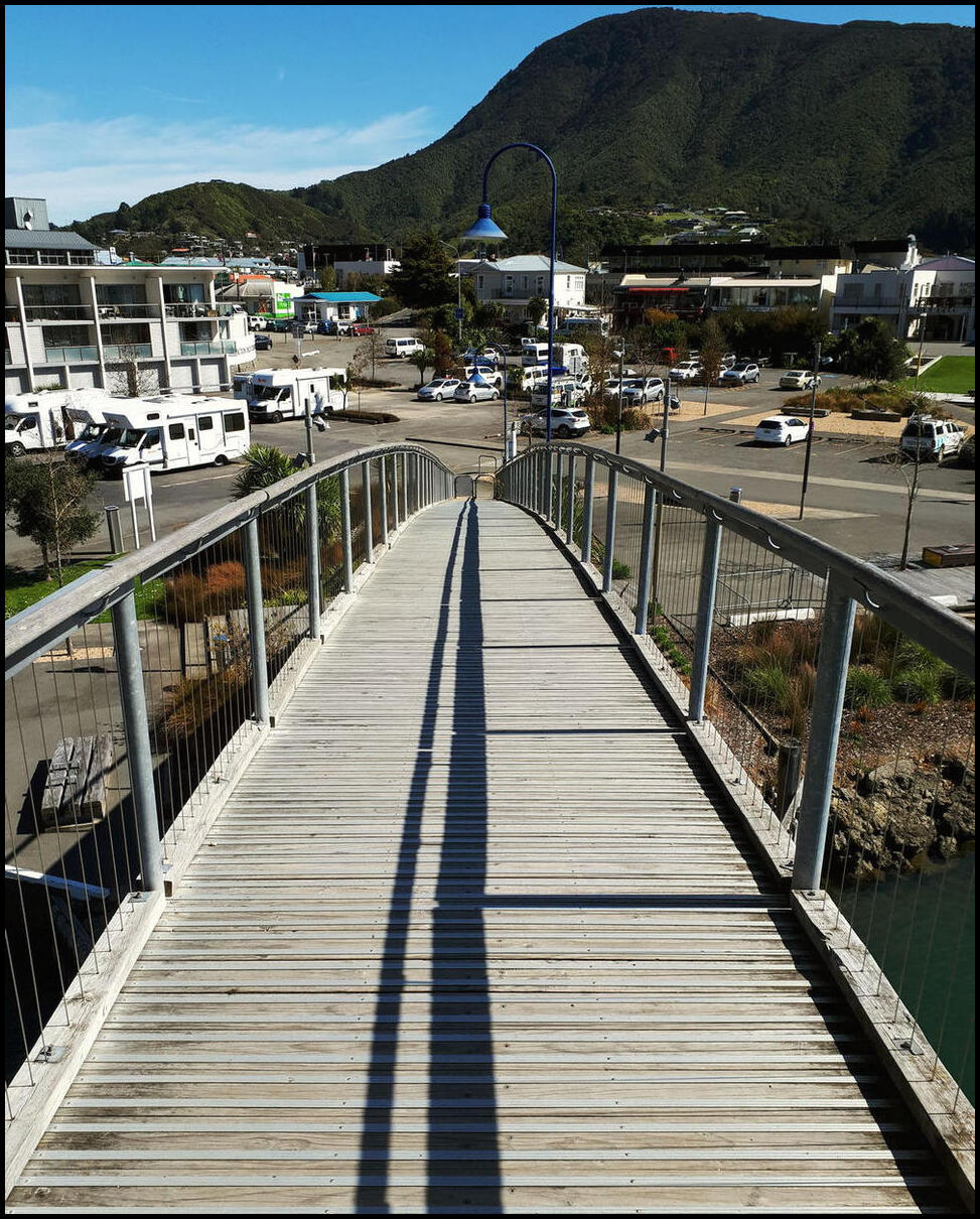
Our grey morning in Picton
Still grey - looking towards the main street. Pretty even when overcast

The Anglican Community Church in Wairau Valley
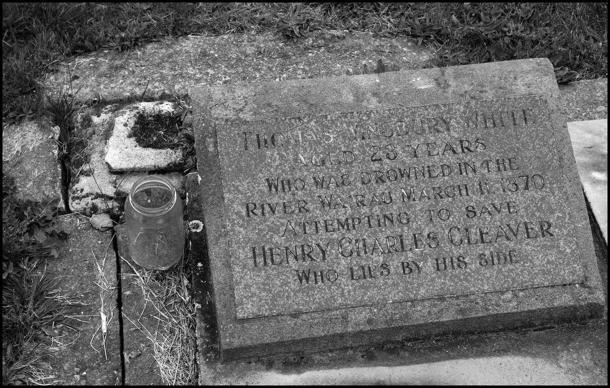
I was taken by the simplicity yet profound message of this headstone in the Community Church cemetery
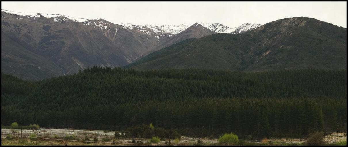
The Mount Richmond Forest Park just north of St Arnaud
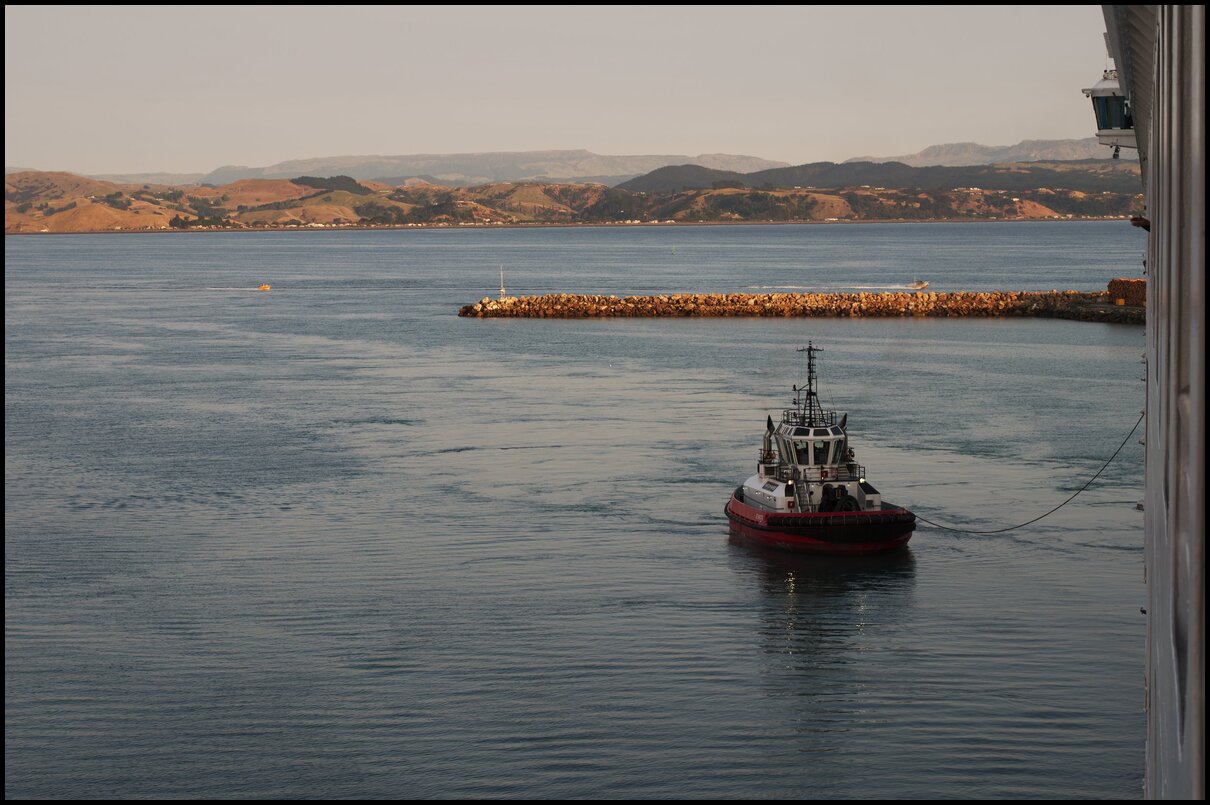
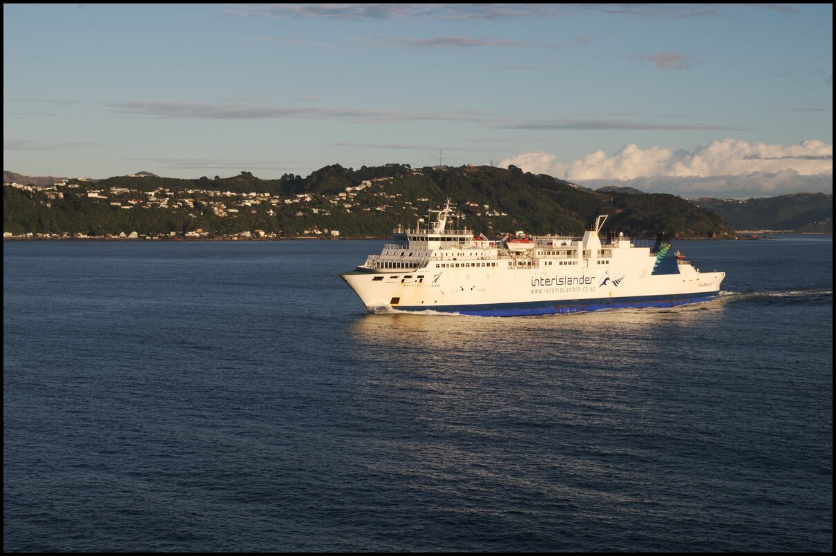
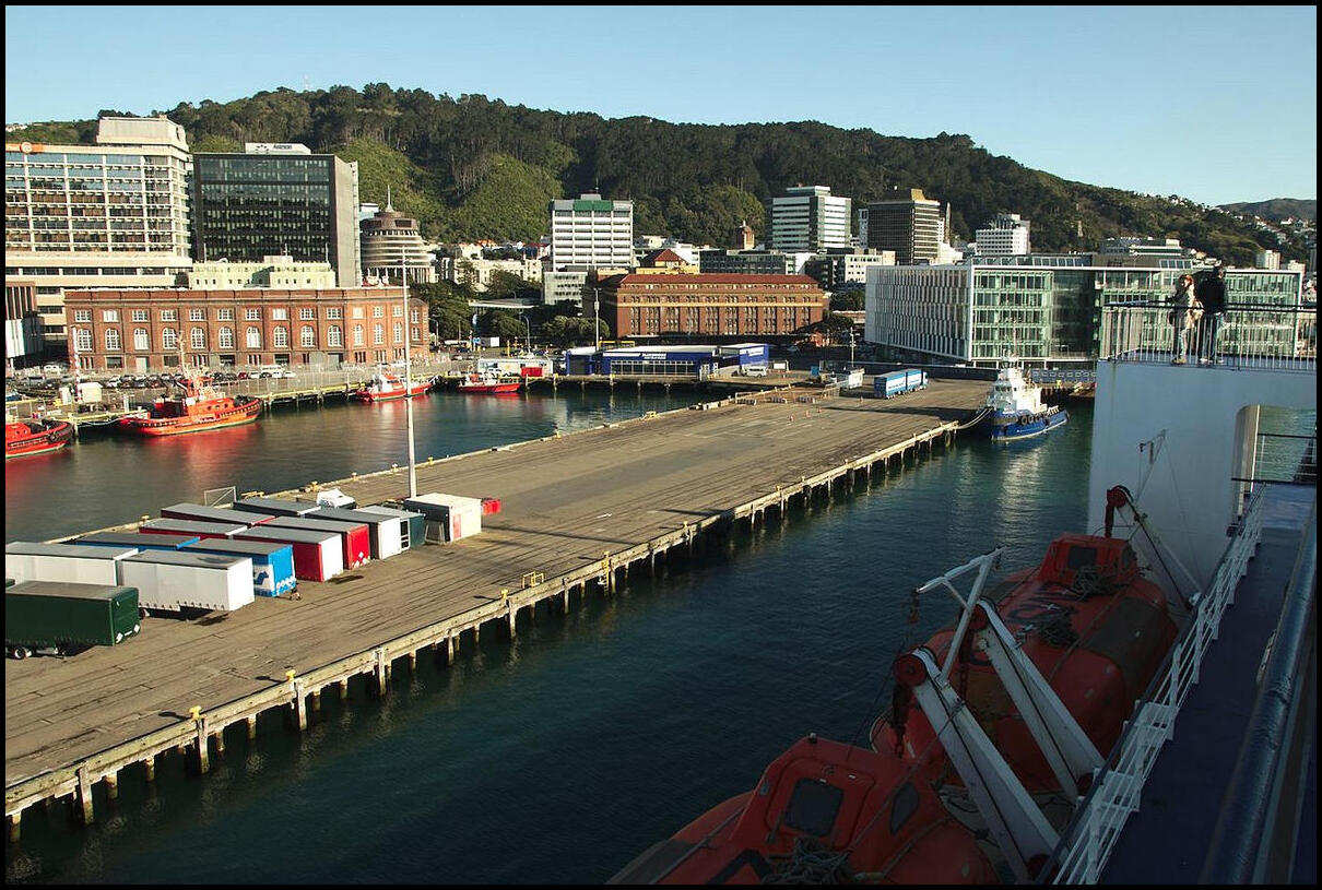
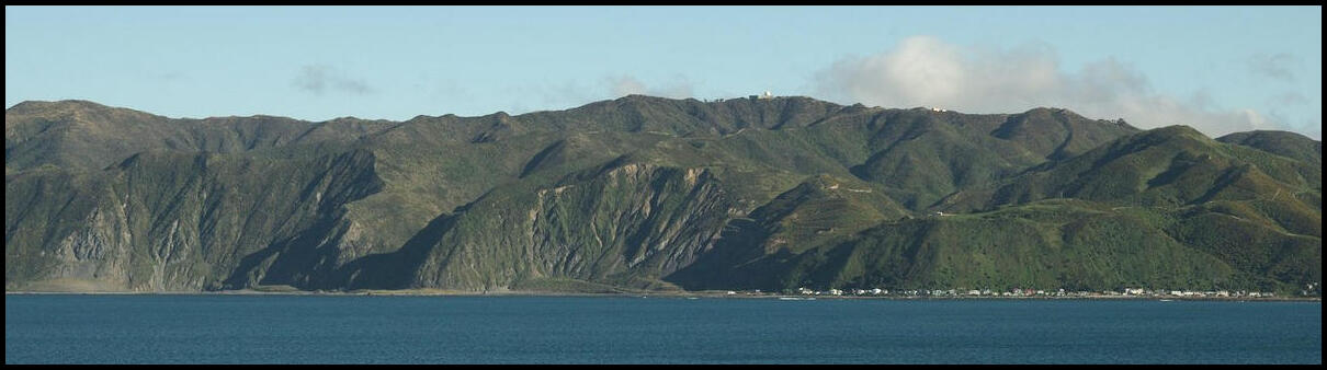
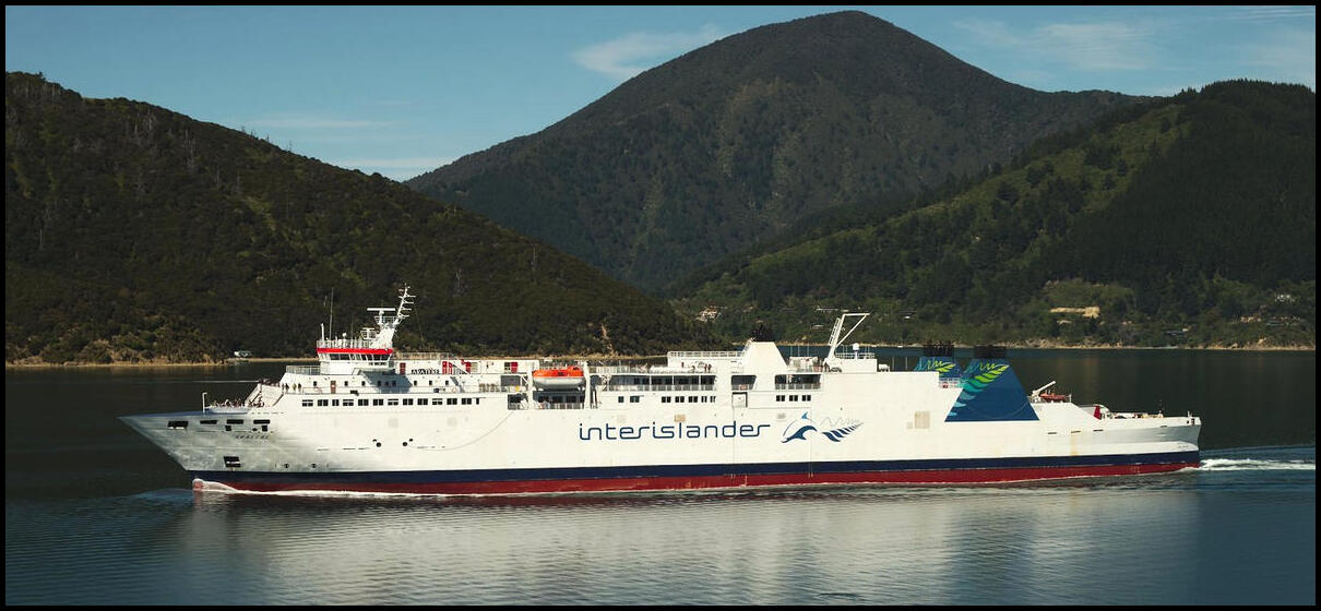
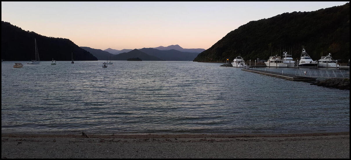
The ferry trip from Wellington to Picton was fantastic. The scenery leaving Wellington was equally matched by the scenery entering Picton.
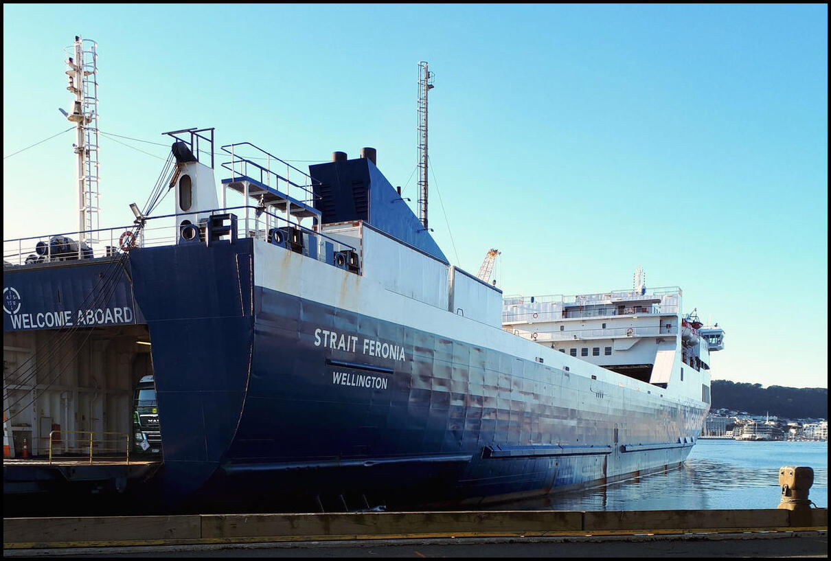
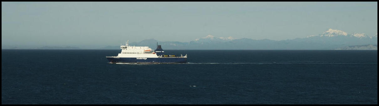
Now that's a ferry!
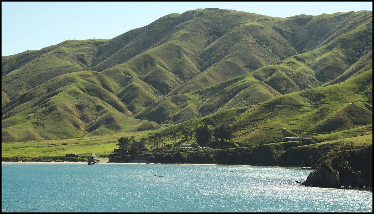
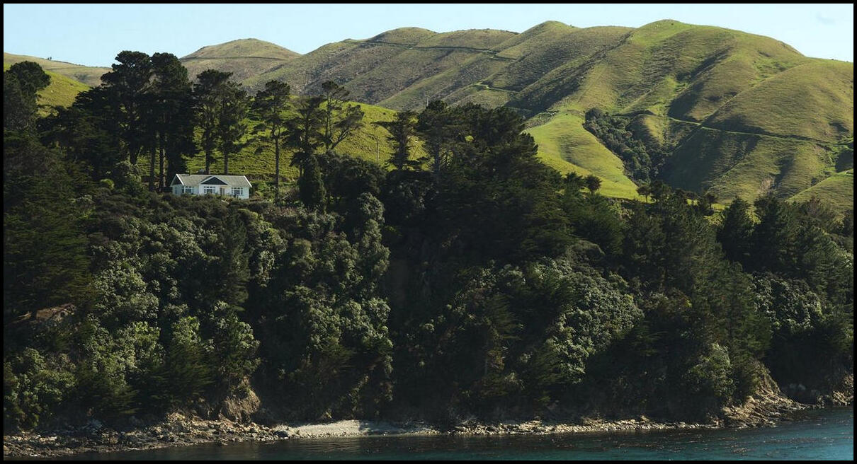
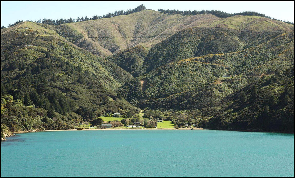
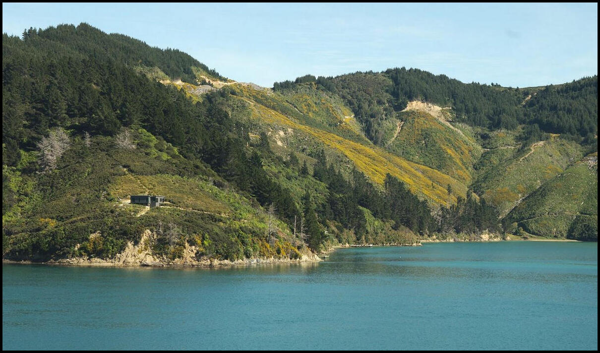
Picton from the ferry
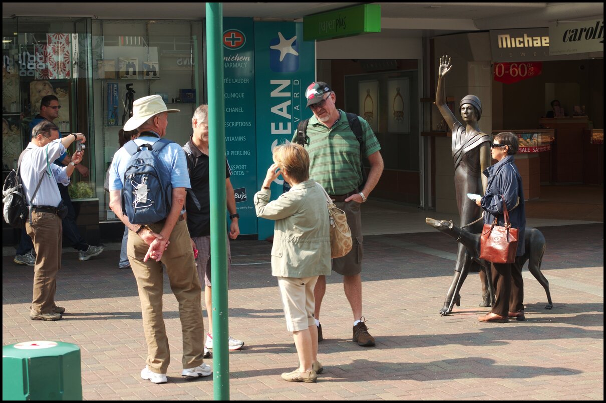
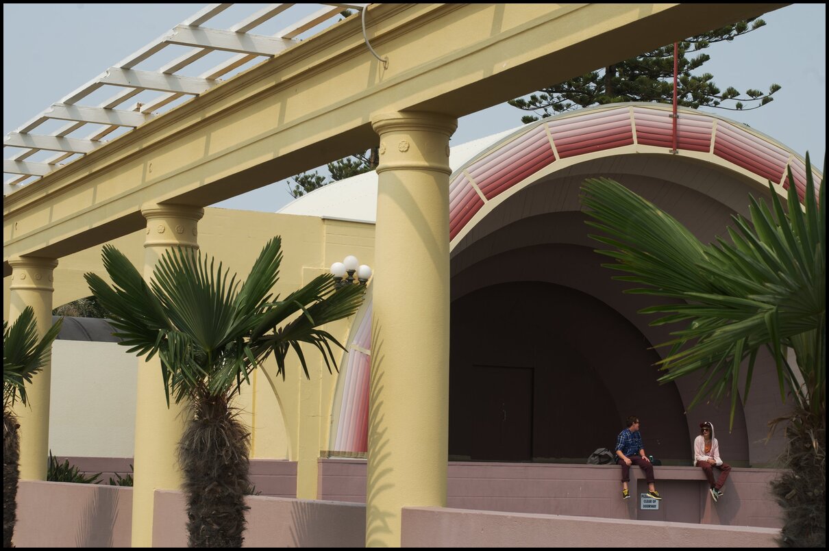
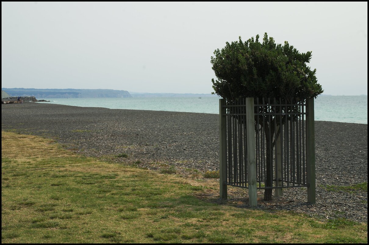
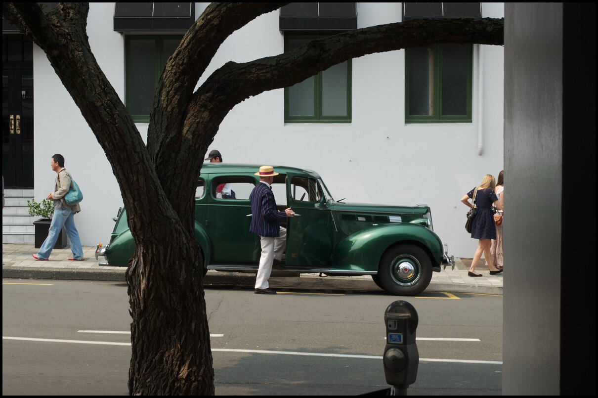
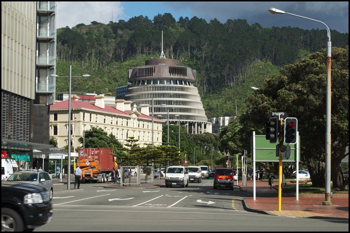
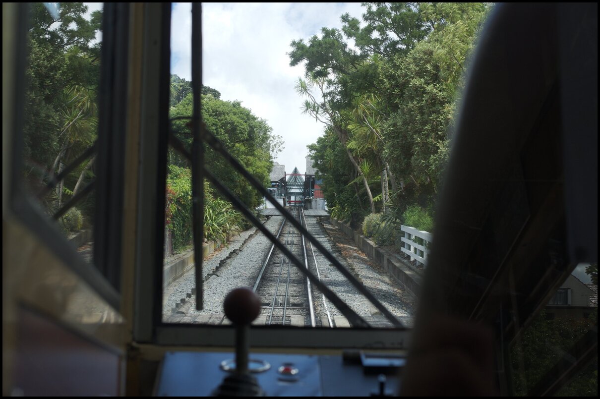
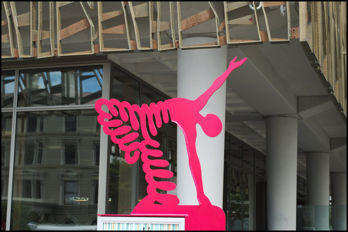
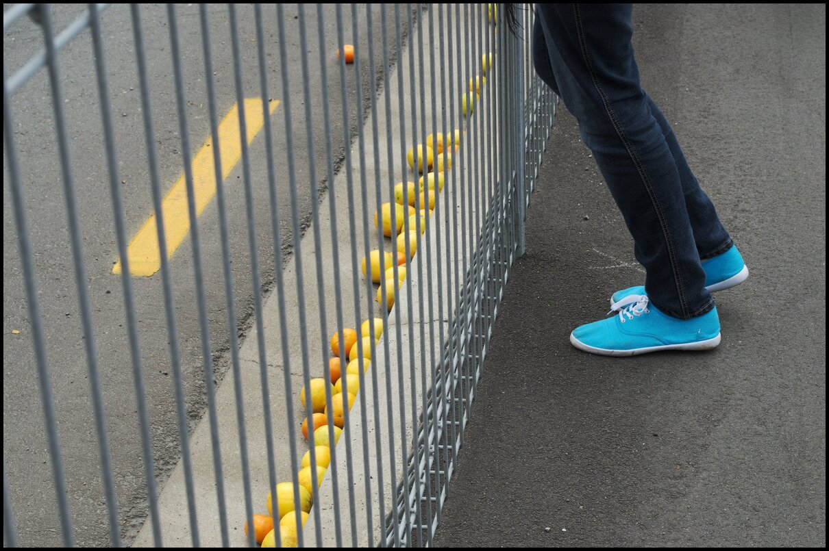
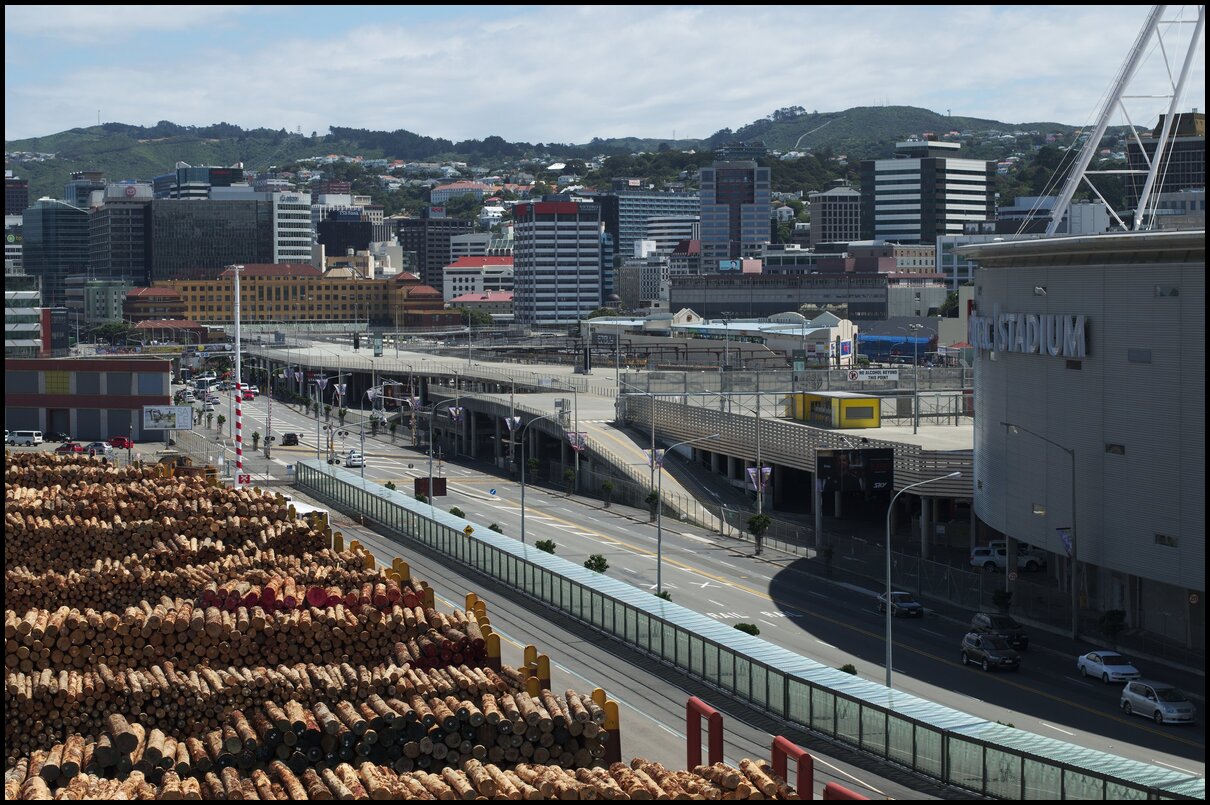
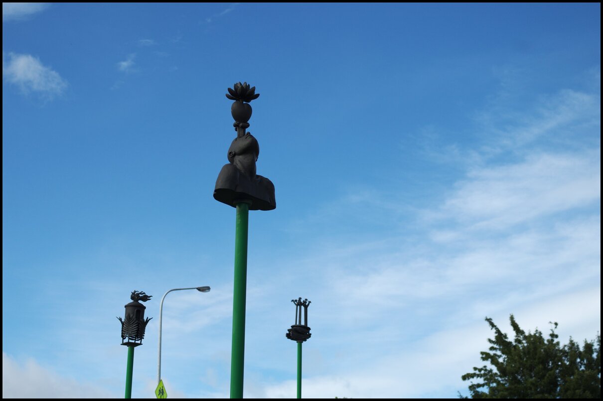
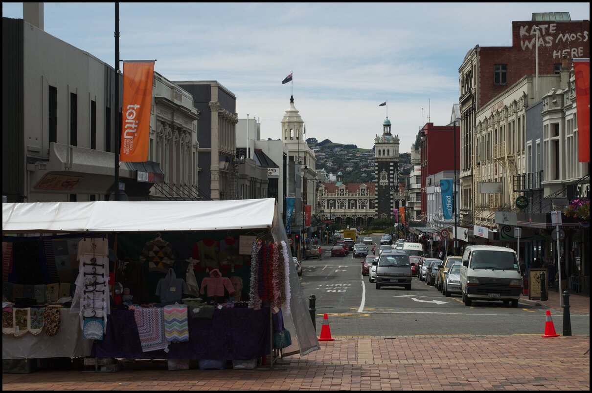
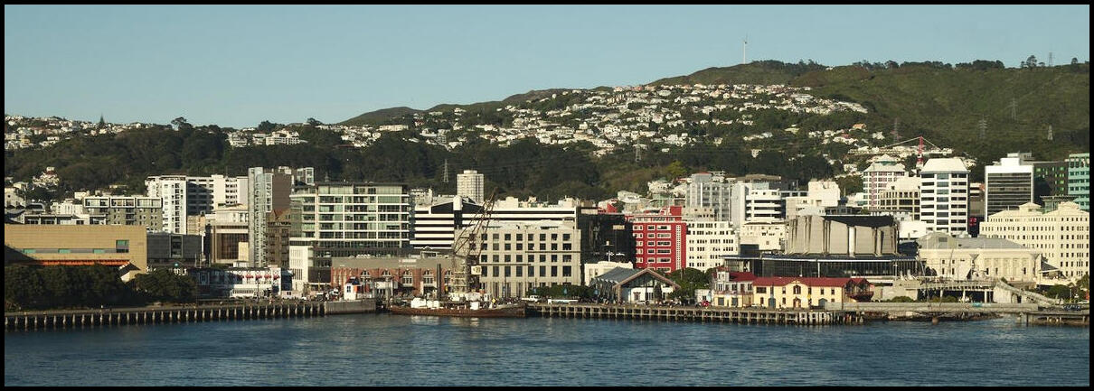
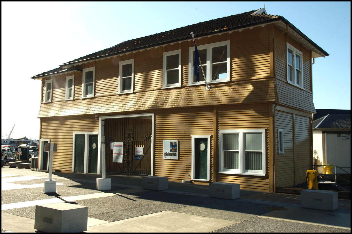
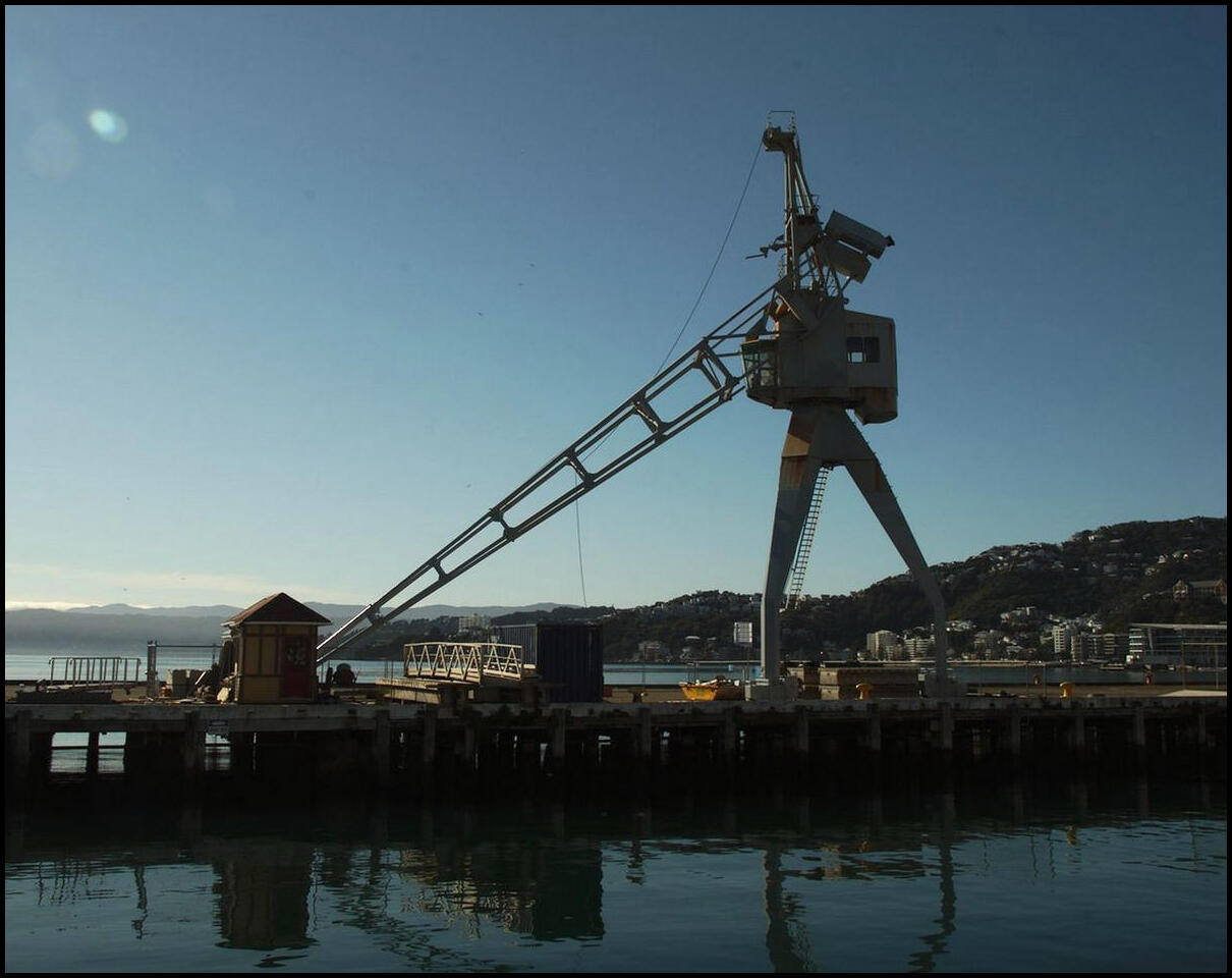
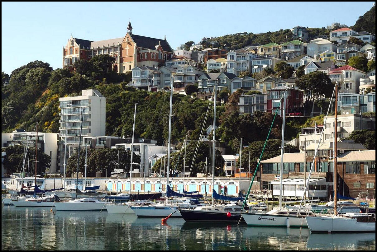
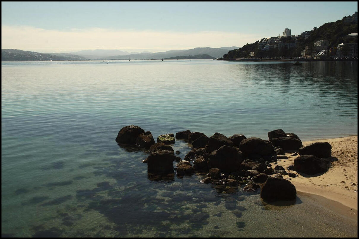
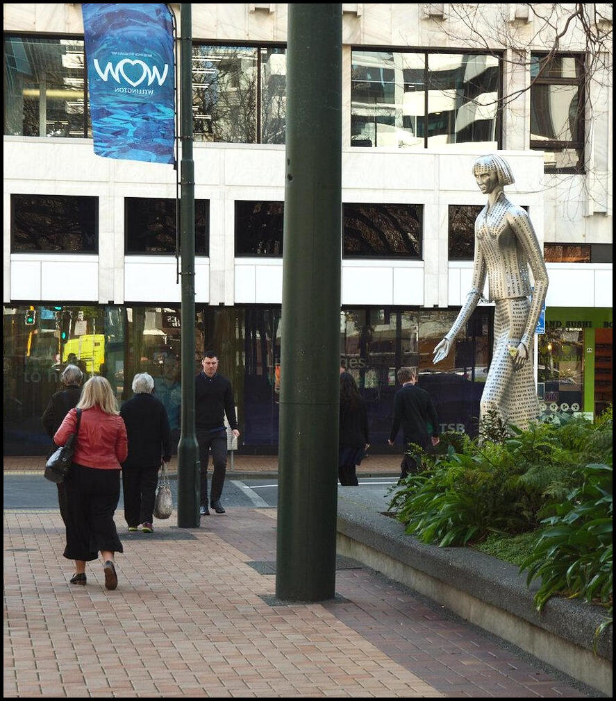
Day 8 - the half way mark saw us spend much of the day wandering around Wellington. Here are some samples:
Looking like something out of Star Wars
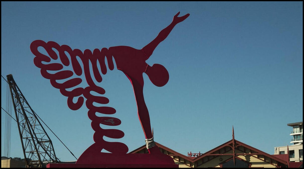
Spiral Man (or is is a Woman?)

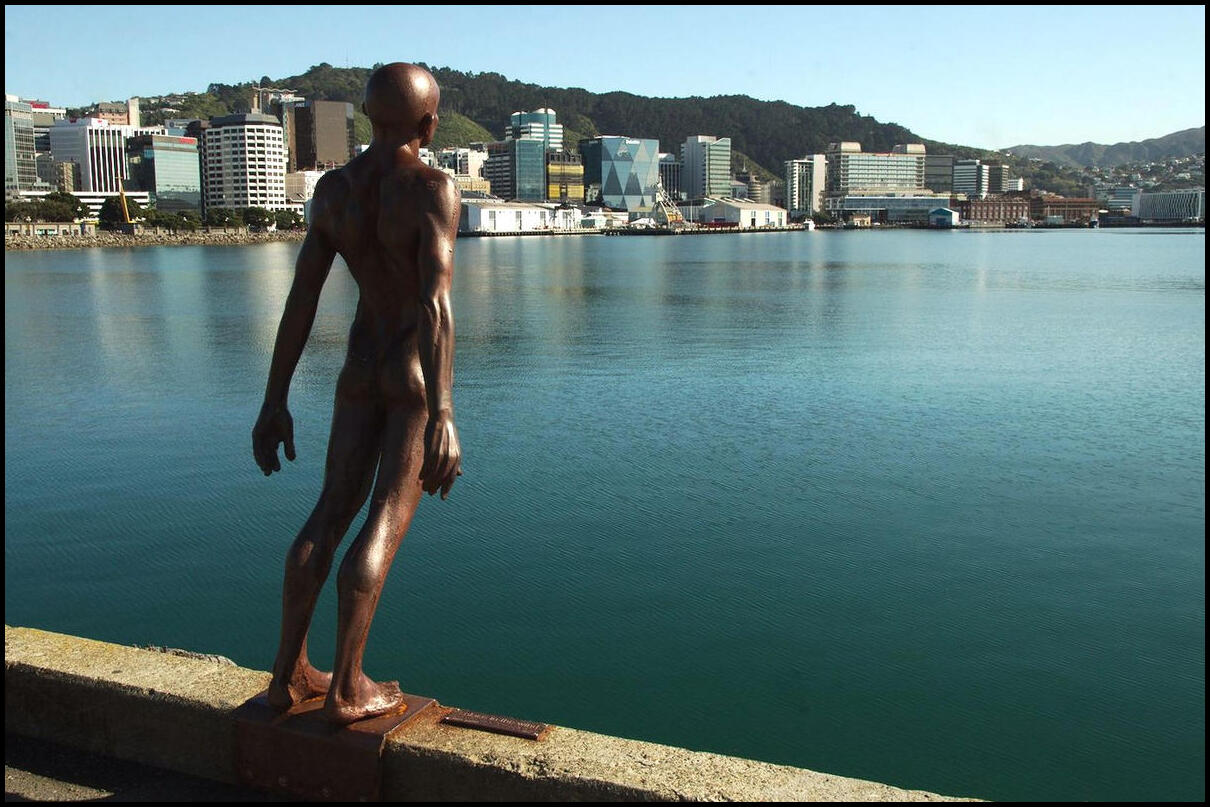
Weird but cool art installation!
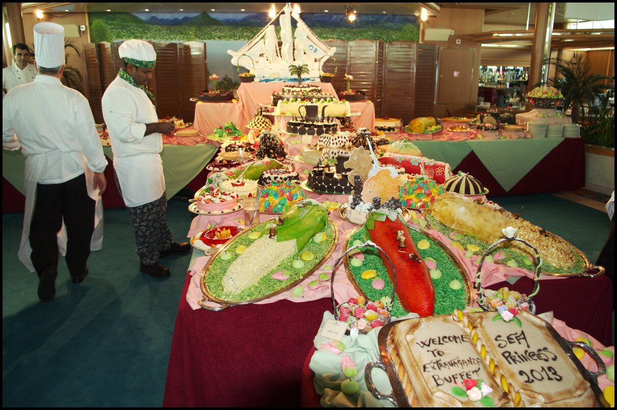
Did someone say cake?
2013 redux
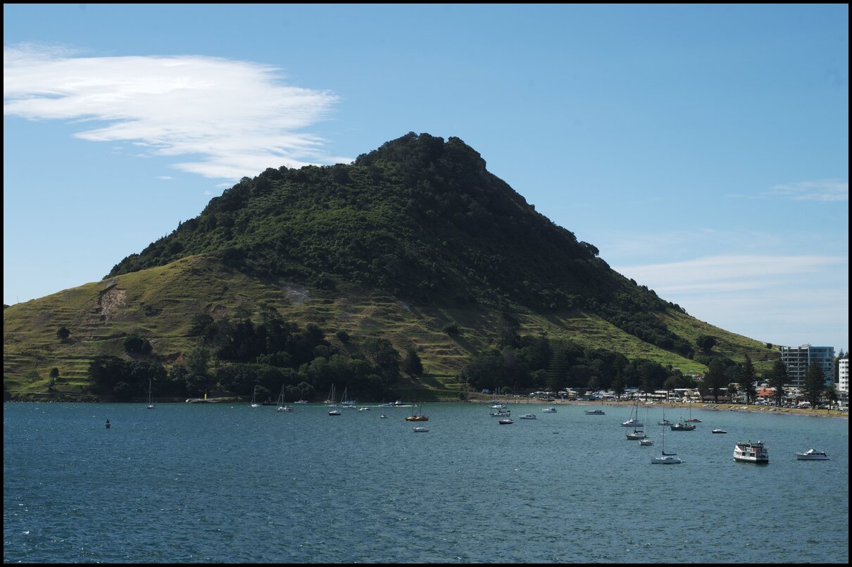
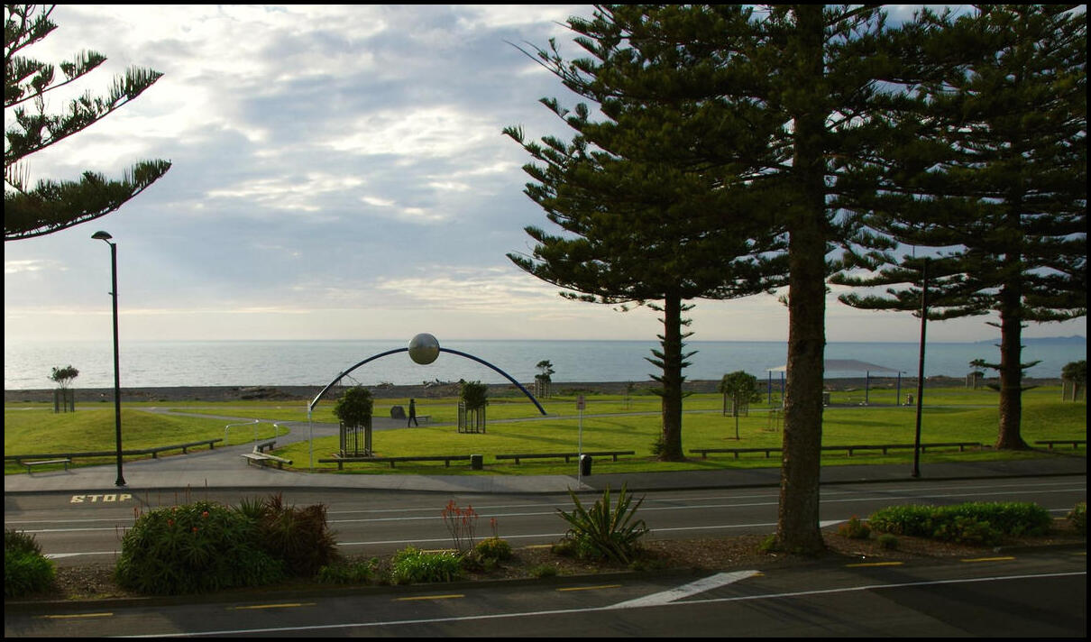
Day 7 saw us begin the day overlooking Napier from the Bluff Hill Lookout above Napier Port before heading south for Wellington. We opted for SH 2 through Waipukurau and Dannevirke before cutting across towards Palmerston North and down the west coast to Wellington on SH 57 and SH 1.

Napier from Bluff Hill Lookout
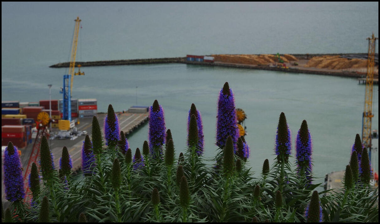
Napier Port from behind some spooky purple flowers
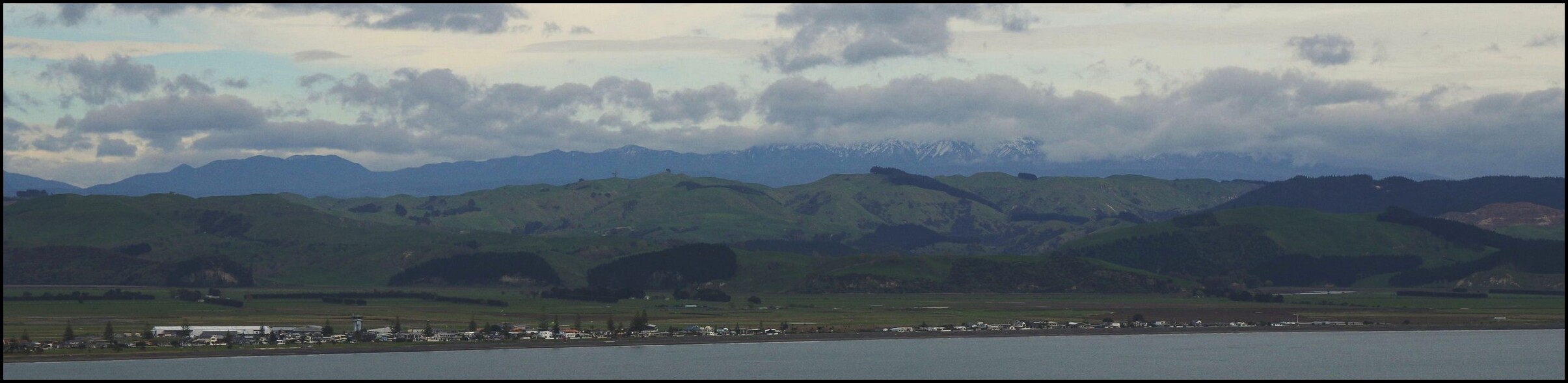
Snow-capped peaks looking north over Hawks Bay
Queen Elizabeth Park on the way to Wellington
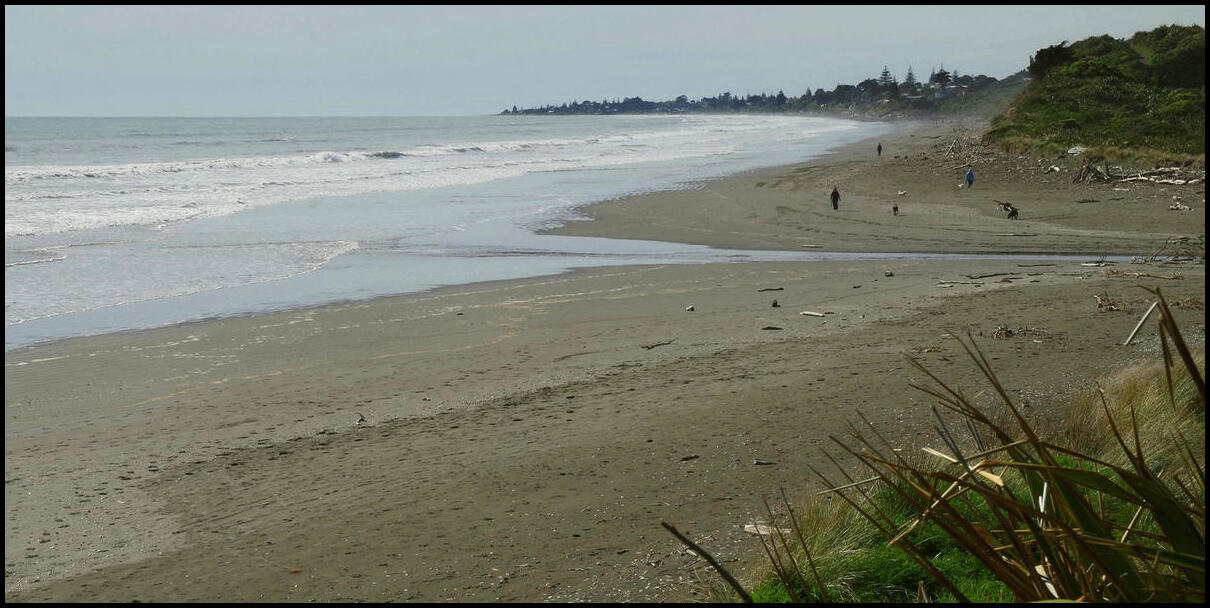
Day 6 was spent in Napier and surrounds - from Cape Kidnappers to Hastings.
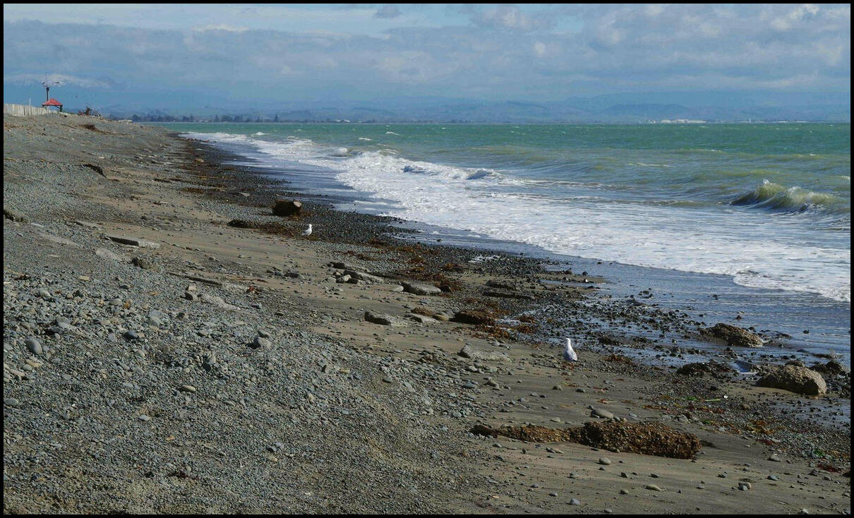
Napier 'beach' from our motel balcony
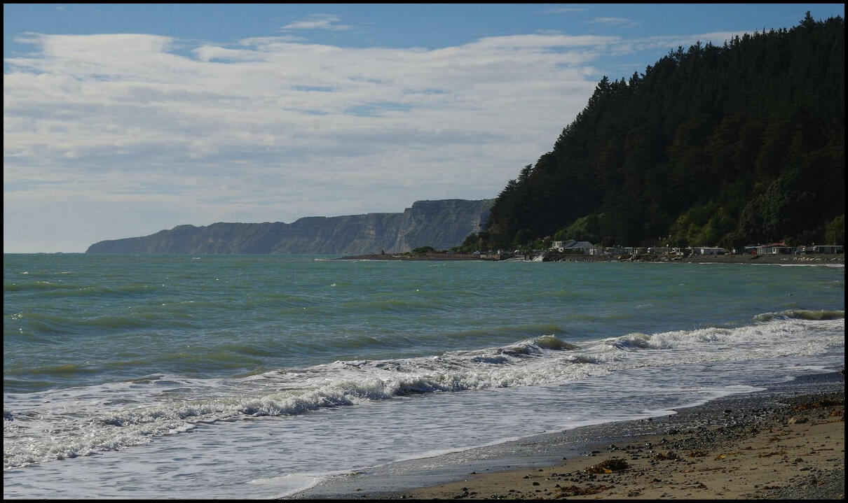
Cape Kidnappers cliffs from Clifton
From Clifton looking north to Napier
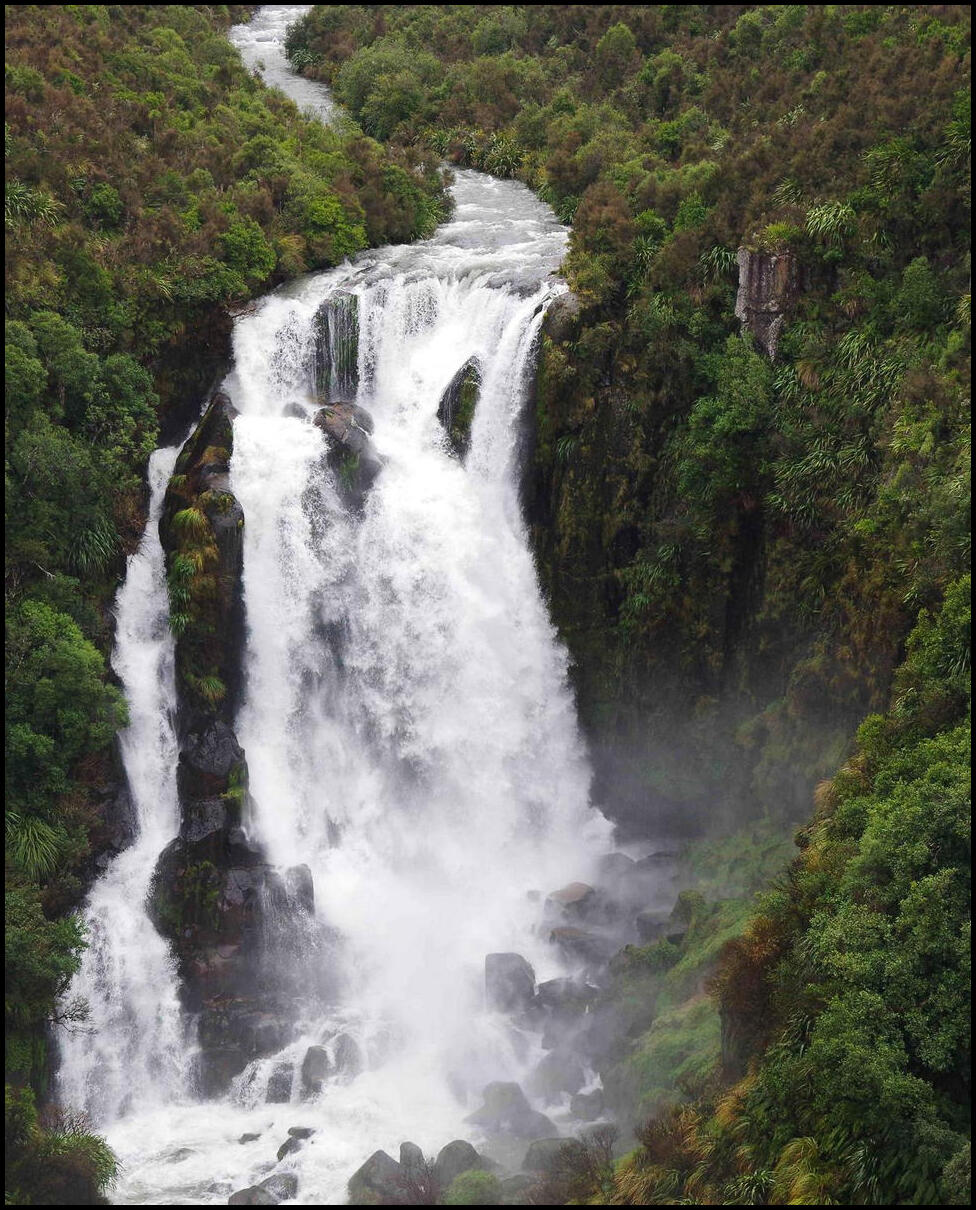
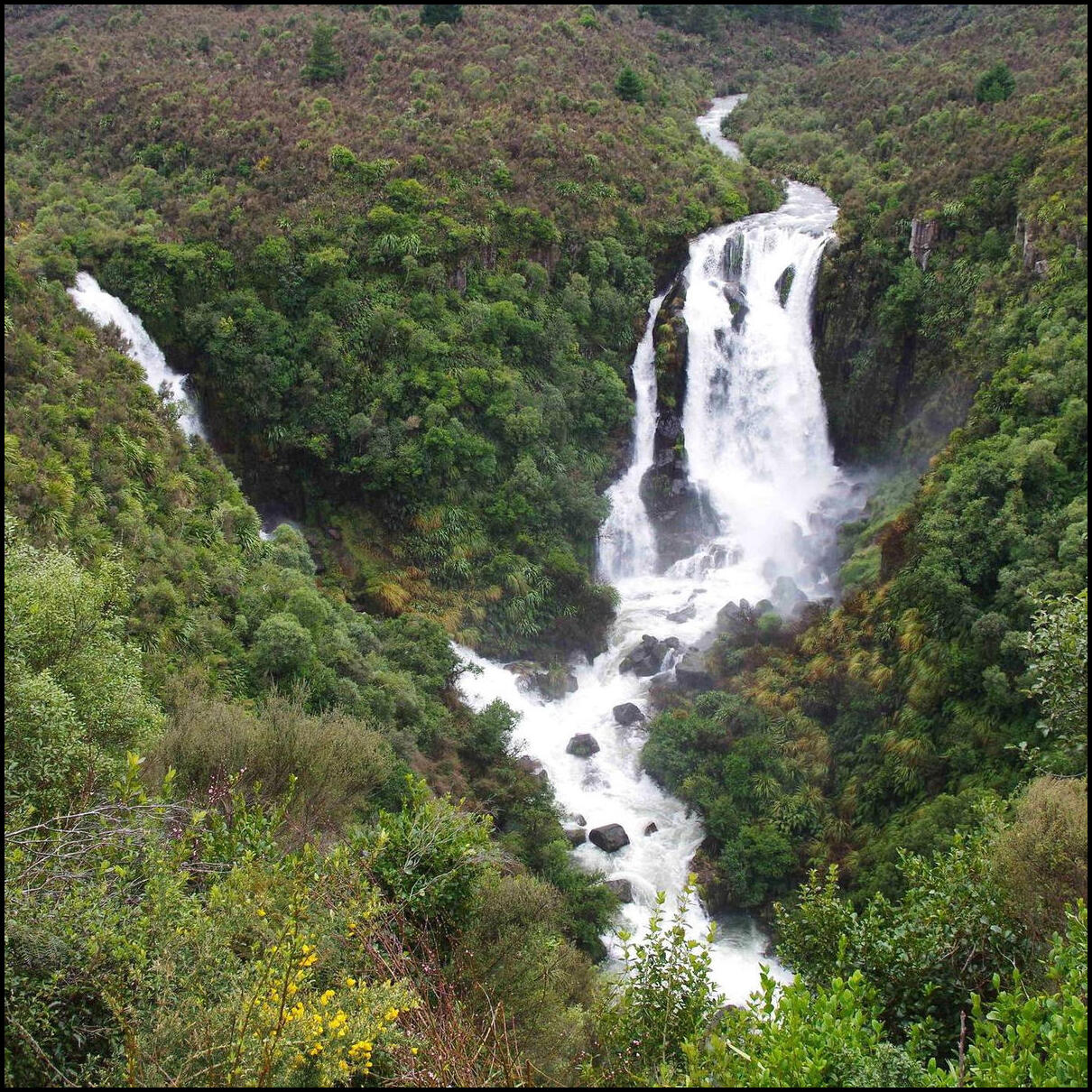
A very pleasant drive through the centre of the north island from Rotorua to Napier. A good cup of coffee from a roadside caravan in Taupo, and then a stop at Waipunga Falls:
And a stopover at the falls. The only hint was a roadsign saying “Scenic Lookout”. Somewhat understated:
Day 4 was spent in and around Rotorua. We visited two paid tourist sites of the half-a-dozen on offer. The first was the Wai-O-Tapu “Thermal Wonderland". The first site was the mud pool, followed by the Lady Knox Geyser, finishing with a walk around the site viewing such things as the Devils Inkpots, Champagne Pool and other geothermal phenomena. It was an amazing place – the colours, the features, the smells!!!
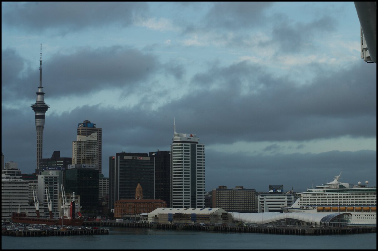
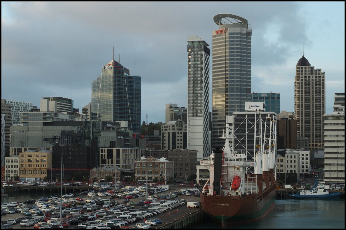
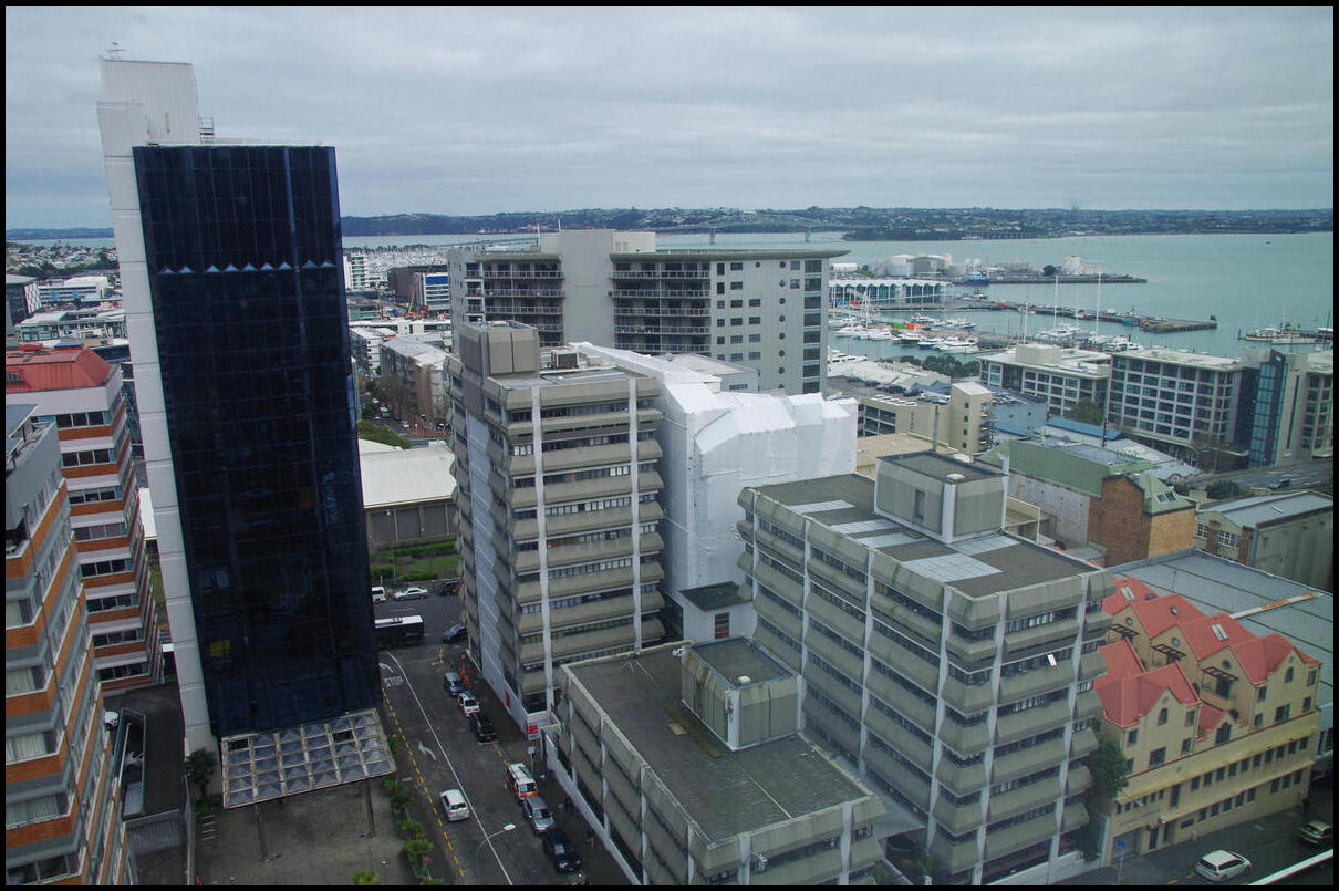
Day three saw us collect our hire car in Auckland and make our way down to Rotorua. The first photo is the view from our apartment – of a fairly grey cityscape, Auckland Harbour and bridge.
Morning tea was in a very pleasant cafe called the Town Mouse in Pukekohe – although we did earn the mild ire of one of the waitresses because we ordered from the counter before sitting down.
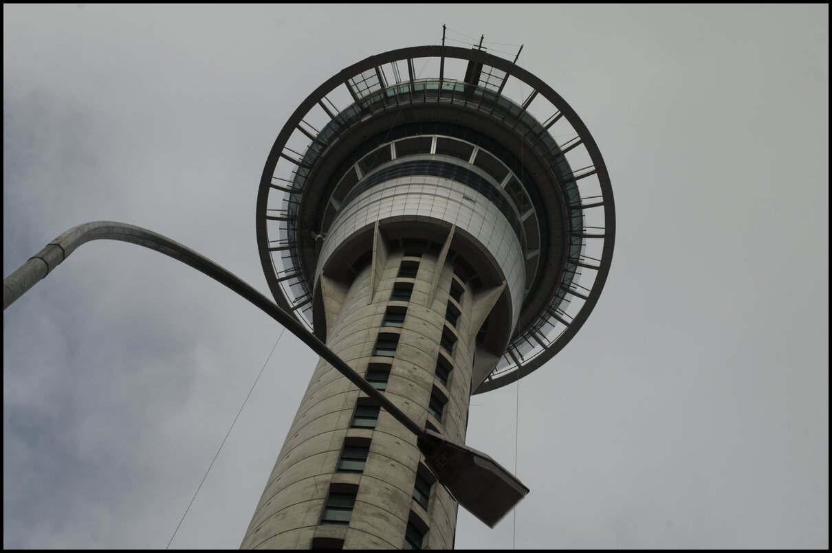
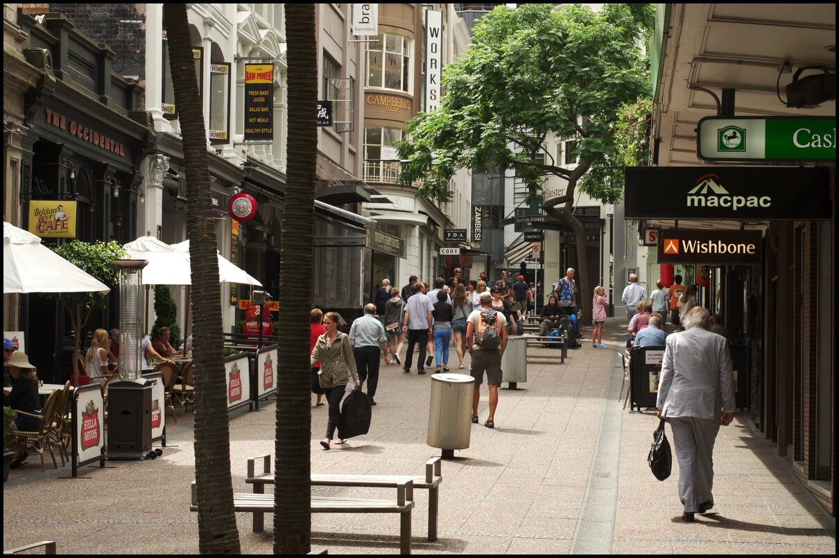
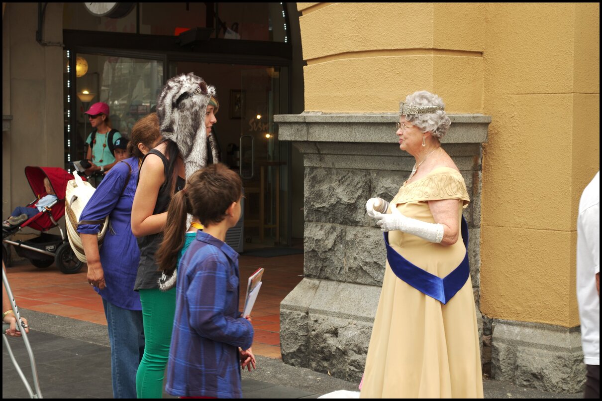
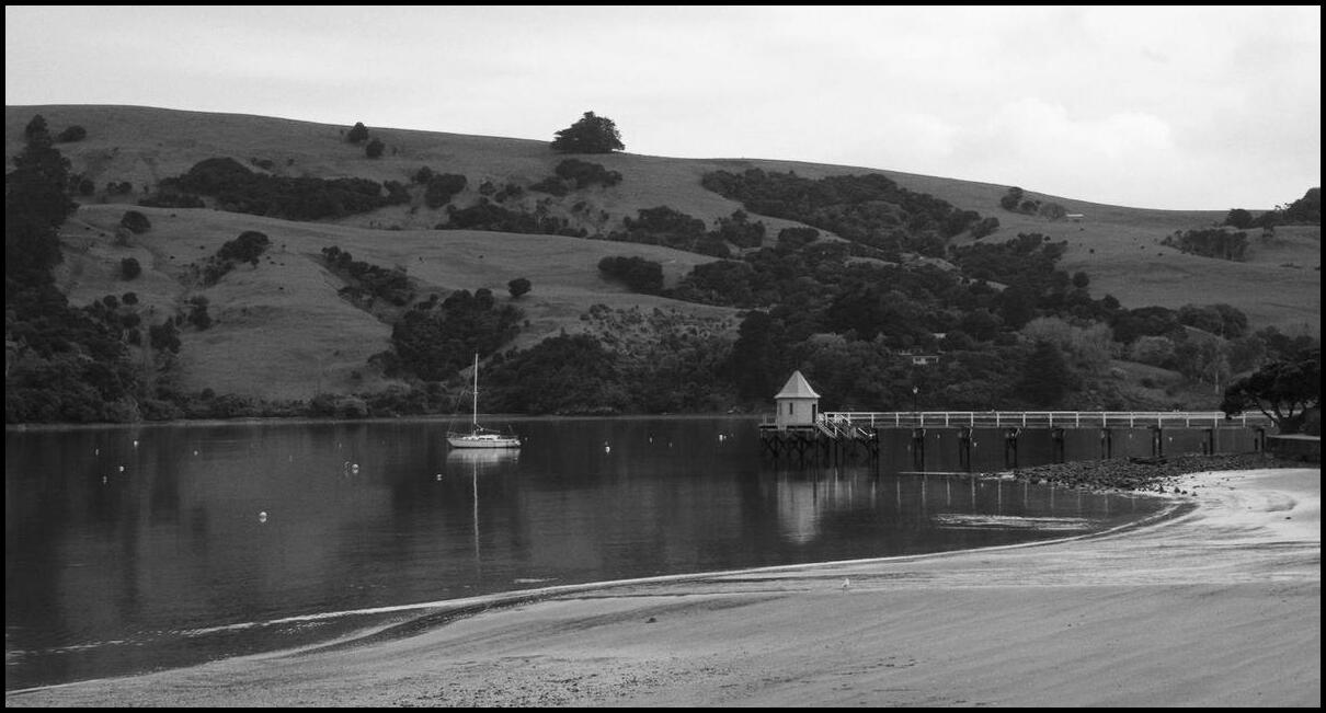
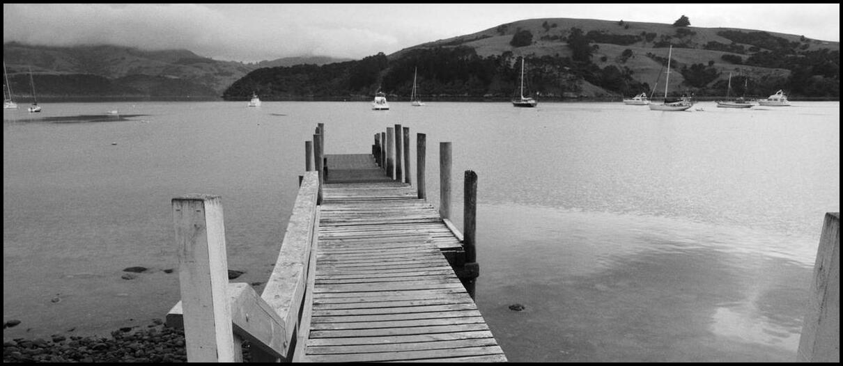
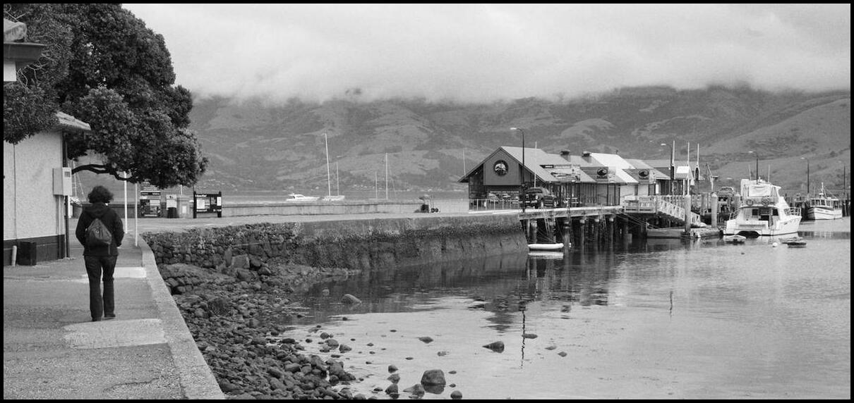
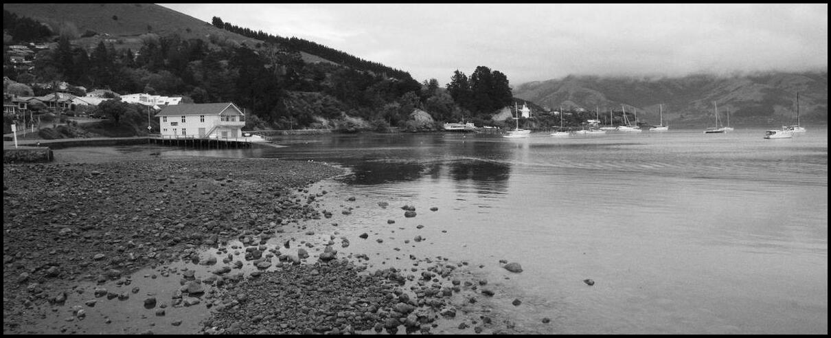
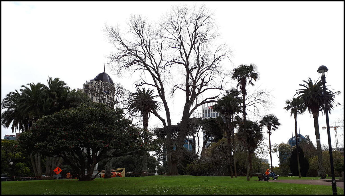
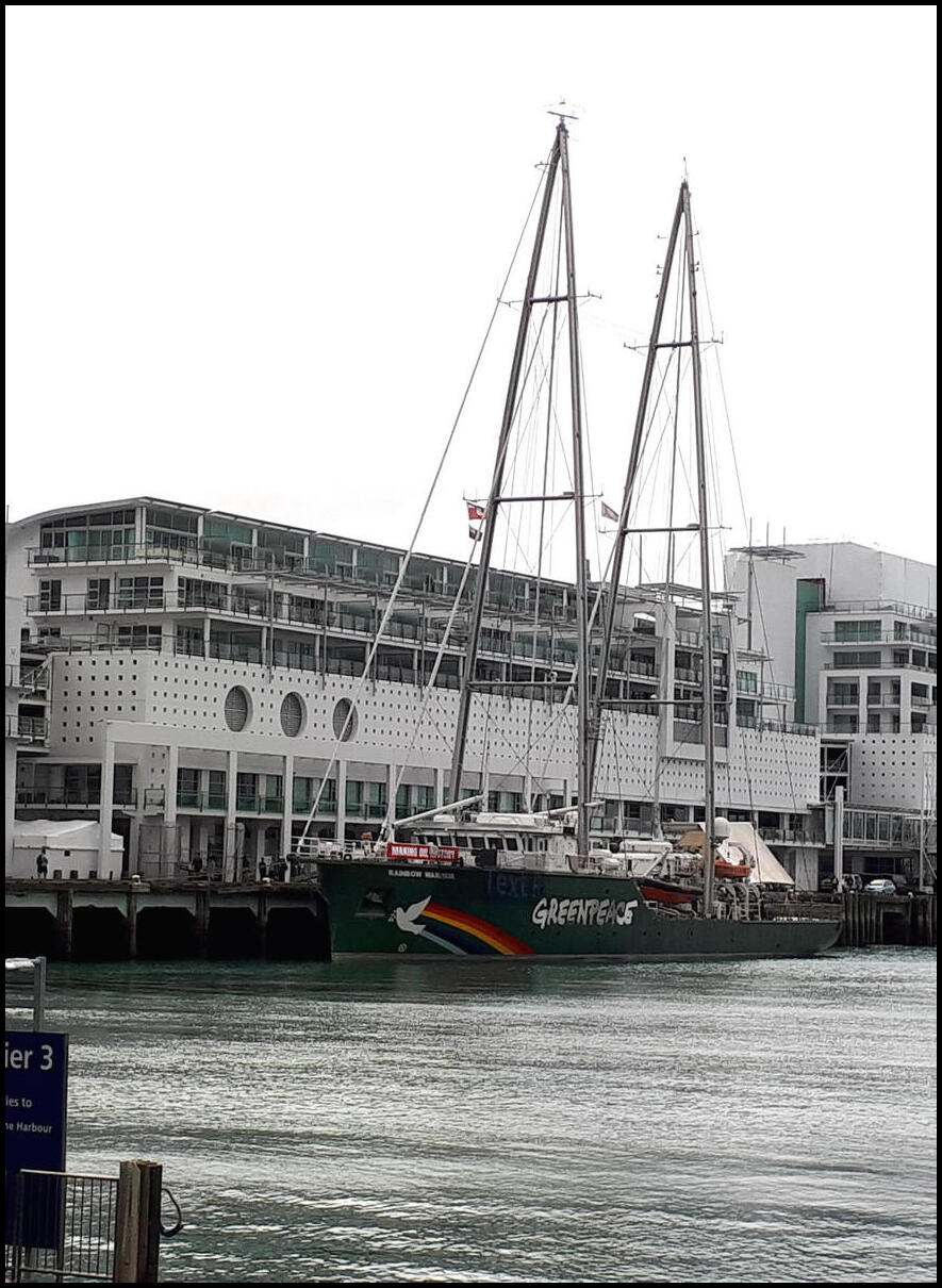
Here are a few photos from my phone – resized – from our wanderings around Auckland on the second day of our holiday:
Day 1 saw us flying from Sydney to Auckland. The flight, although delayed, was uneventful.
No photos to speak of for day 1. The only photos taken were of our opened luggage at the hotel in case there were subsequent disputes about ownership!
I called it to the local library this afternoon seeking something in particular – not so much a specific book as a type of book. And what may that type of book be? A travel guide. You know, like Rick Steves, Lonely Planet, DK and Michelin (close, but not the restaurant guides).
But why, I don’t hear you ask? Because I need a holiday and I have too much annual leave accumulated (close to 10 weeks now).